Cambridge A Level Geography 9696 — 2024 Oct/Nov Paper 3 · Variant 1
9696/31/O/N/24 · 12 questions · 60 marks · ≈68 min
The question paper and its mark scheme, free to read here and free to download. This is Cambridge’s own paper, exactly as it was sat.
Question paper4 pages
Mark scheme23 pages
Answers below. Sit the paper first if you are practising.

Questions as text
Q1 · A photograph which shows a tower karst landscape in China
1 Fig. 1.1 is a photograph which shows a tower karst landscape in China. (a) Describe the physical features of the tower karst landscape shown in Fig. 1.1. [4] (b) Explain the formation of tropical tower karst. [6]
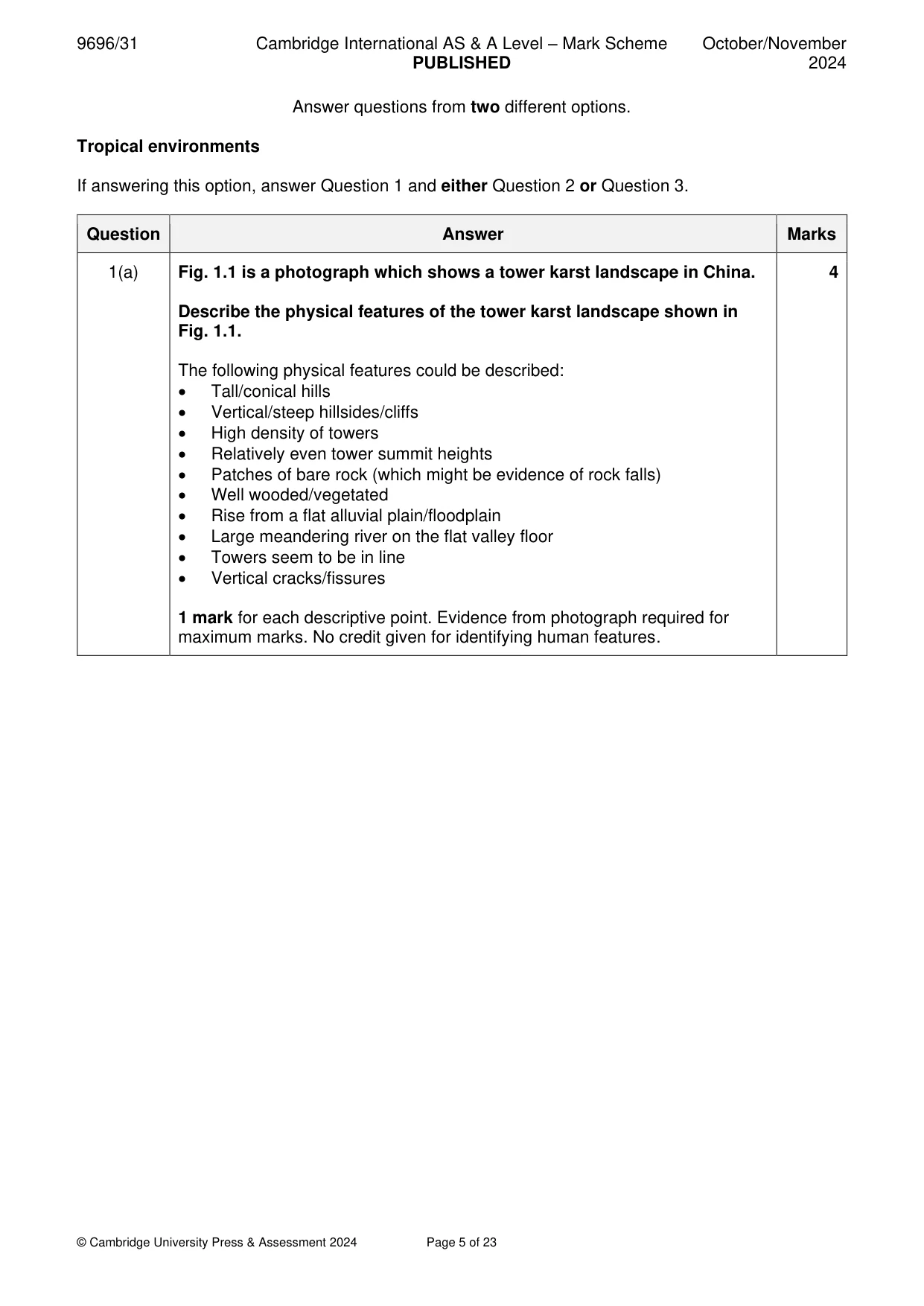
Mark scheme: Question Answer Marks 1(a) Fig. 1.1 is a photograph which shows a tower karst landscape in China. 4 Describe the physical features of the tower karst landscape shown in Fig. 1.1. The following physical features could be described: • Tall/conical hills • Vertical/steep hillsides/cliffs • High density of towers • Relatively even tower summit heights • Patches of bare rock (which might be evidence of rock falls) • Well wooded/vegetated • Rise from a flat alluvial plain/floodplain • Large meandering river on the flat valley floor • Towers seem to be in line • Vertical cracks/fissures 1 mark for each descriptive point. Evidence from photograph required for maximum marks. No credit given for identifying human features. 1(b) Explain the formation of tropical tower karst. 6 It is a tower karst landscape. Tower karst seems to develop from cone karst in areas with tectonic uplift. The main factors are: • Relatively thick, well-jointed limestone rock • Intense carbonation weathering along the joints under hot, wet conditions (tropical, sub-tropical) • Weathering might be aided by vegetation cover (humic acids from rapidly decomposing vegetation in tropical climates) • Preferential weathering leads to depressions (dolines), guided by joint systems, which increase in size and may collapse forming cone karst • Collapse of subterranean cave systems • Uplift leads to intense weathering at the water table, leading to undercutting and retreat of the towers • Rivers developing on the flat plains between the towers might increase the undercutting and collapse Award marks based on the quality of explanation and breadth of the response using the marking levels below. Level 3 (5–6) Response clearly explains the formation of tropical tower karst. Response is well founded in detailed knowledge and strong conceptual understanding of the topic. Examples used are appropriate and integrated effectively into the response. Level 2 (3–4) Response explains the formation of tropical tower karst. Response develops on a largely secure base of knowledge and understanding. Examples may lack detail or development. Level 1 (1–2) Response describes the formation of tropical tower karst. Knowledge is basic and understanding may be inaccurate. Examples are in name only or lacking entirely. Level 0 (0) No creditable response.
Q2 · Assess the view that the main difference between the climates of humid tropical and…
2 Assess the view that the main difference between the climates of humid tropical and seasonally humid tropical environments is the amount of annual rainfall. [20]
Mark scheme: 2 Assess the view that the main difference between the climates of humid 20 tropical and seasonally humid tropical environments is the amount of annual rainfall. Discussion of the climates of the two environments should consider both temperature and rainfall, although the emphasis will be mainly on rainfall. The differences are caused by the seasonal movement of the overhead sun and the passage of the intertropical convergence zone (ITCZ). Humid tropical environments tend to have greater rainfall amounts and, although it is concentrated in two periods, tend to have some rainfall in most months. Seasonally humid tropical environments have rainfall concentrated in one period when the ITCZ is overhead. Rainfall amounts also tend to be smaller. Temperatures are relatively high and constant throughout the year in humid tropical environments whereas temperatures are high in the dry season (higher than the humid tropical environment) in seasonally humid tropical environments and lower during the rainy season. Some candidates might also refer to monsoon climates. Award marks based on the quality of the response using the marking levels below. Level 4 (16–20) Response thoroughly discusses the view that the main difference between the climates of humid tropical and seasonally humid tropical environments is the amount of annual rainfall. An effective and sustained evaluation with a sound conclusion. Response is well founded in detailed exemplar knowledge and strong conceptual understanding of the topic. Examples used are appropriate and integrated effectively into the response. Level 3 (11–15) Response discusses the view that the main difference between the climates of humid tropical and seasonally humid tropical environments is the amount of annual rainfall. Response is broadly evaluative in character, comprising some explanatory or narrative content and a conclusion. Response develops on a largely secure base of knowledge and understanding with the use of example(s). Level 2 (6–10) Response demonstrates some knowledge and understanding of the view that the main difference between the climates of humid tropical and seasonally humid tropical environments is the amount of annual rainfall. Response is mainly descriptive or explanatory in approach and contains a brief or thinly supported evaluation. Responses without the use of example(s) to support the response will not get above the middle of Level 2 (8 marks). Level 1 (1–5) Response makes a few general points about the view that the main difference between the climates of humid tropical and seasonally humid tropical environments is the amount of annual rainfall. A descriptive response comprising a few simple points. Knowledge is basic and understanding may be poor and lack relevance to the question set. Level 0 (0) No creditable response.
Q3 · With reference to a case study from either the rainforest ecosystem or savanna ecosystem…
3 With reference to a case study from either the rainforest ecosystem or savanna ecosystem, assess the relative significance of the threats to the ecosystem. [20] Coastal environments If answering this option, answer Question 4 and either Question 5 or Question 6.
Mark scheme: 3 With reference to a case study from either the rainforest ecosystem or 20 savanna ecosystem, assess the relative significance of the threats to the ecosystem. The detail provided will depend on the environment chosen and the nature of the case study. Threats to the ecosystem will be essentially related to human activity such as the effects of deforestation partly determined by the extent of deforestation in both ecosystems, how it has been achieved (selective logging, clearcutting, burning) and what it has been replaced with (crops, mining, HEP, highways, etc). These will include loss of biodiversity, soil degradation, increased soil erosion and runoff into rivers. These, especially in rainforest ecosystems, may have an influence on the local weather patterns. The threats posed by changes of climate with global warming might also be considered. Candidates may also consider threats linked to population growth (e.g. increasing the demand for bushmeat, fuel) and mismanagement (e.g. corruption of national park officials), as well as natural threats such as wildfires (possible link to global warming), flooding, etc. Significance of threats could also be assessed in terms of how easy each threat is to manage (local vs global). Award marks based on the quality of the response using the marking levels below. Level 4 (16–20) Response thoroughly discusses a case study from either the rainforest ecosystem or savanna ecosystem to assess the relative significance of the threats to the ecosystem. An effective and sustained evaluation with a sound conclusion. Response is well founded in detailed exemplar knowledge and strong conceptual understanding of the topic. Examples used are appropriate and integrated effectively into the response. Level 3 (11–15) Response discusses a case study from either the rainforest ecosystem or savanna ecosystem to assess the relative significance of the threats to the ecosystem. Response is broadly evaluative in character, comprising some explanatory or narrative content and a conclusion. Response develops on a largely secure base of knowledge and understanding with the use of example(s). Level 2 (6–10) Response demonstrates some knowledge and understanding of a case study from either the rainforest ecosystem or savanna ecosystem to assess the relative significance of the threats to the ecosystem. Response is mainly descriptive or explanatory in approach and contains a brief or thinly supported evaluation. Responses without the use of example(s) to support the response will not get above the middle of Level 2 (8 marks). 3 Level 1 (1–5) Response makes a few general points about a case study from either the rainforest ecosystem or savanna ecosystem to assess the relative significance of the threats to the ecosystem. A descriptive response comprising a few simple points. Knowledge is basic and understanding may be poor and lack relevance to the question set. Level 0 (0) No creditable response. Coastal environments If answering this option, answer Question 4 and either Question 5 or Question 6.
Q4 · The global distribution of coastal sand dunes
4 Fig. 4.1 shows the global distribution of coastal sand dunes. (a) Describe the global distribution of coastal sand dunes shown in Fig. 4.1. [4] (b) Explain why sand dunes occur on some coastlines. [6]
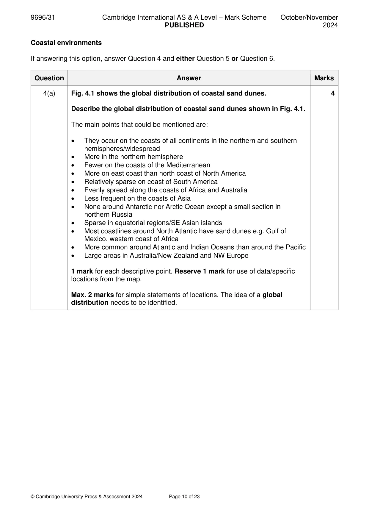
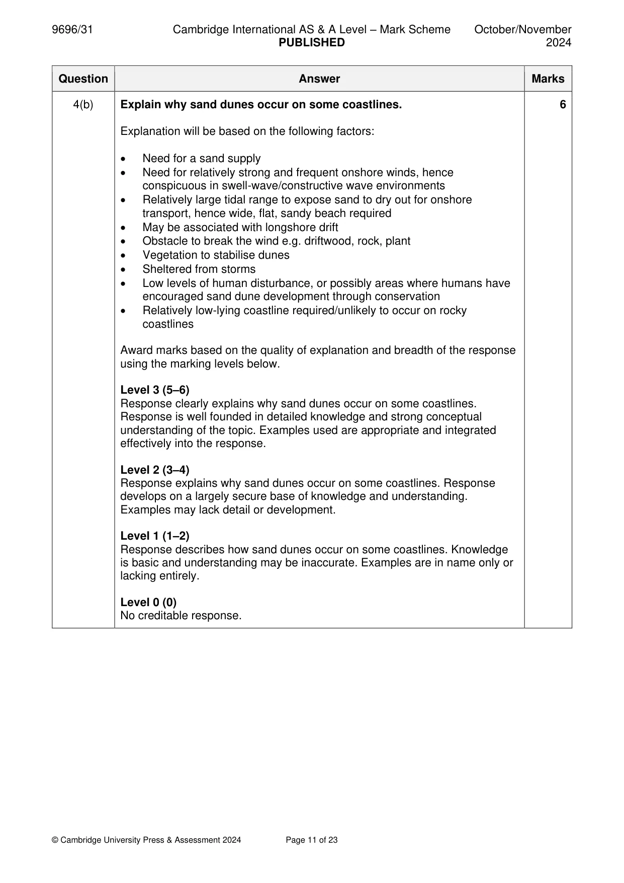
Mark scheme: 4(a) Fig. 4.1 shows the global distribution of coastal sand dunes. 4 Describe the global distribution of coastal sand dunes shown in Fig. 4.1. The main points that could be mentioned are: • They occur on the coasts of all continents in the northern and southern hemispheres/widespread • More in the northern hemisphere • Fewer on the coasts of the Mediterranean • More on east coast than north coast of North America • Relatively sparse on coast of South America • Evenly spread along the coasts of Africa and Australia • Less frequent on the coasts of Asia • None around Antarctic nor Arctic Ocean except a small section in northern Russia • Sparse in equatorial regions/SE Asian islands • Most coastlines around North Atlantic have sand dunes e.g. Gulf of Mexico, western coast of Africa • More common around Atlantic and Indian Oceans than around the Pacific • Large areas in Australia/New Zealand and NW Europe 1 mark for each descriptive point. Reserve 1 mark for use of data/specific locations from the map. Max. 2 marks for simple statements of locations. The idea of a global distribution needs to be identified. 4(b) Explain why sand dunes occur on some coastlines. 6 Explanation will be based on the following factors: • Need for a sand supply • Need for relatively strong and frequent onshore winds, hence conspicuous in swell-wave/constructive wave environments • Relatively large tidal range to expose sand to dry out for onshore transport, hence wide, flat, sandy beach required • May be associated with longshore drift • Obstacle to break the wind e.g. driftwood, rock, plant • Vegetation to stabilise dunes • Sheltered from storms • Low levels of human disturbance, or possibly areas where humans have encouraged sand dune development through conservation • Relatively low-lying coastline required/unlikely to occur on rocky coastlines Award marks based on the quality of explanation and breadth of the response using the marking levels below. Level 3 (5–6) Response clearly explains why sand dunes occur on some coastlines. Response is well founded in detailed knowledge and strong conceptual understanding of the topic. Examples used are appropriate and integrated effectively into the response. Level 2 (3–4) Response explains why sand dunes occur on some coastlines. Response develops on a largely secure base of knowledge and understanding. Examples may lack detail or development. Level 1 (1–2) Response describes how sand dunes occur on some coastlines. Knowledge is basic and understanding may be inaccurate. Examples are in name only or lacking entirely. Level 0 (0) No creditable response.
Q5 · ‘Some coral reefs are under greater threat than others.’ How far do you agree with this…
5 ‘Some coral reefs are under greater threat than others.’ How far do you agree with this view? [20]
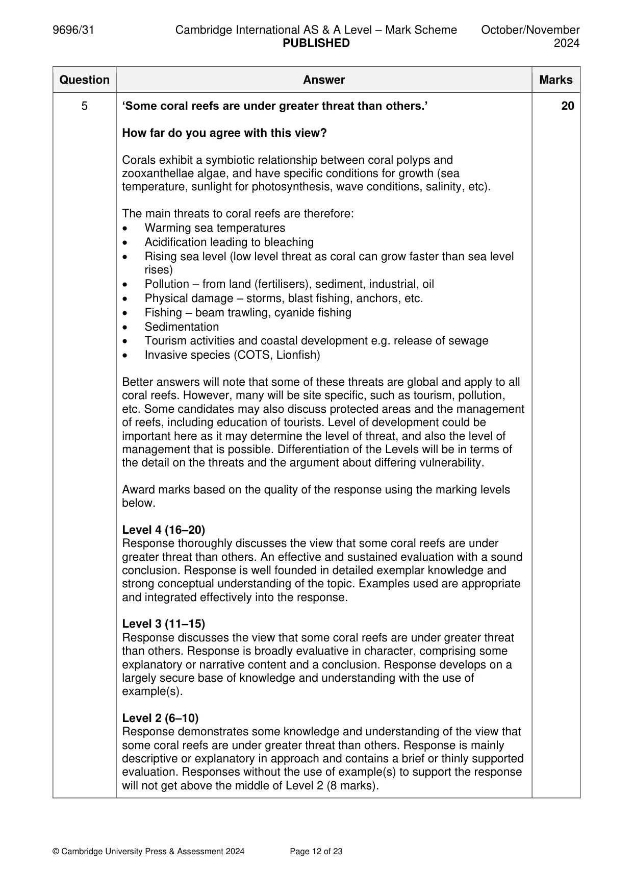
Mark scheme: 5 ‘Some coral reefs are under greater threat than others.’ 20 How far do you agree with this view? Corals exhibit a symbiotic relationship between coral polyps and zooxanthellae algae, and have specific conditions for growth (sea temperature, sunlight for photosynthesis, wave conditions, salinity, etc). The main threats to coral reefs are therefore: • Warming sea temperatures • Acidification leading to bleaching • Rising sea level (low level threat as coral can grow faster than sea level rises) • Pollution – from land (fertilisers), sediment, industrial, oil • Physical damage – storms, blast fishing, anchors, etc. • Fishing – beam trawling, cyanide fishing • Sedimentation • Tourism activities and coastal development e.g. release of sewage • Invasive species (COTS, Lionfish) Better answers will note that some of these threats are global and apply to all coral reefs. However, many will be site specific, such as tourism, pollution, etc. Some candidates may also discuss protected areas and the management of reefs, including education of tourists. Level of development could be important here as it may determine the level of threat, and also the level of management that is possible. Differentiation of the Levels will be in terms of the detail on the threats and the argument about differing vulnerability. Award marks based on the quality of the response using the marking levels below. Level 4 (16–20) Response thoroughly discusses the view that some coral reefs are under greater threat than others. An effective and sustained evaluation with a sound conclusion. Response is well founded in detailed exemplar knowledge and strong conceptual understanding of the topic. Examples used are appropriate and integrated effectively into the response. Level 3 (11–15) Response discusses the view that some coral reefs are under greater threat than others. Response is broadly evaluative in character, comprising some explanatory or narrative content and a conclusion. Response develops on a largely secure base of knowledge and understanding with the use of example(s). Level 2 (6–10) Response demonstrates some knowledge and understanding of the view that some coral reefs are under greater threat than others. Response is mainly descriptive or explanatory in approach and contains a brief or thinly supported evaluation. Responses without the use of example(s) to support the response will not get above the middle of Level 2 (8 marks). 5 Level 1 (1–5) Response makes a few general points about the view that some coral reefs are under greater threat than others. A descriptive response comprising a few simple points. Knowledge is basic and understanding may be poor and lack relevance to the question set. Level 0 (0) No creditable response.
Q6 · Hazardous environments If answering this option, answer Question 7 and either Question 8…
Hazardous environments If answering this option, answer Question 7 and either Question 8 or Question 9.
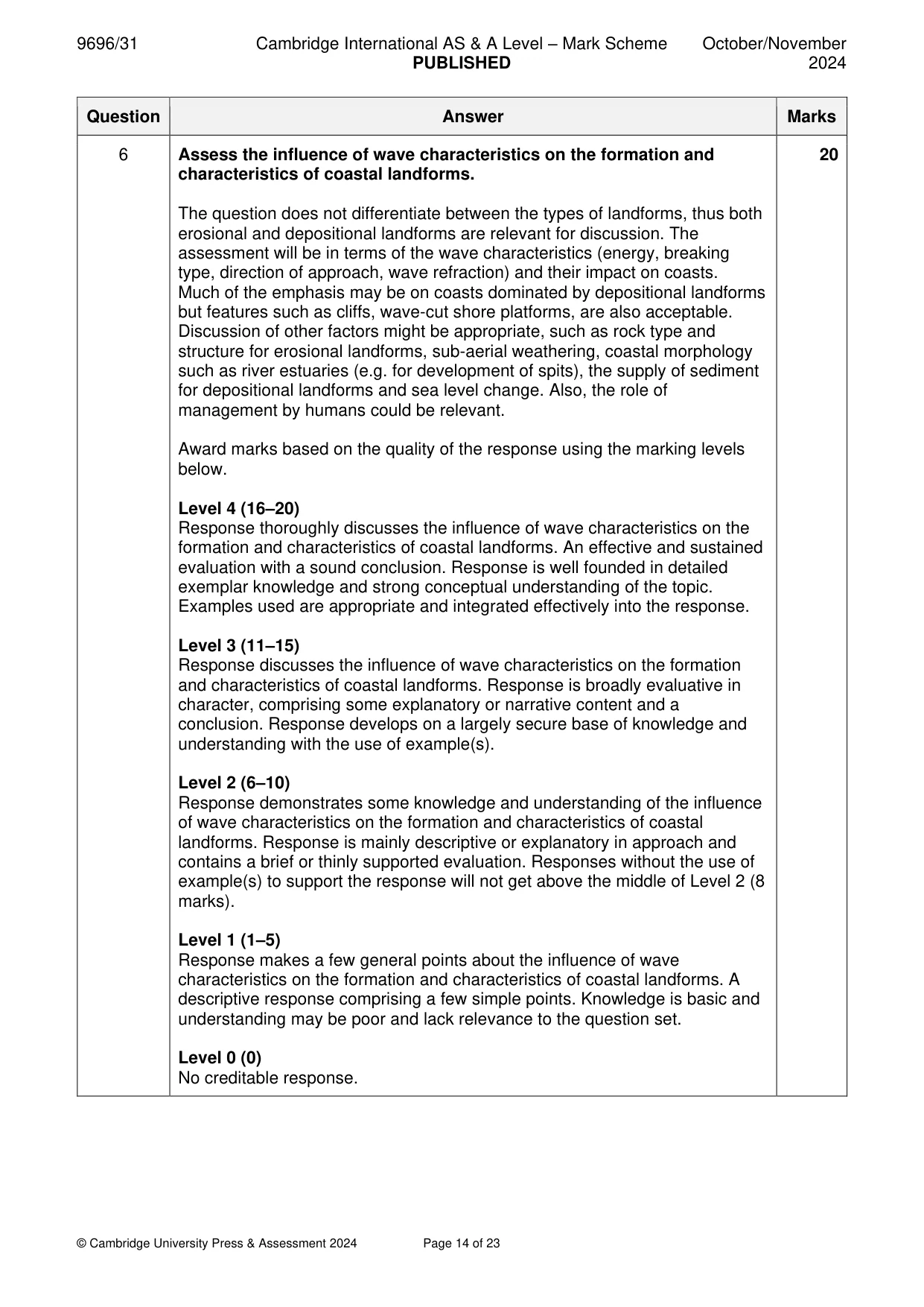
Mark scheme: 6 Assess the influence of wave characteristics on the formation and 20 characteristics of coastal landforms. The question does not differentiate between the types of landforms, thus both erosional and depositional landforms are relevant for discussion. The assessment will be in terms of the wave characteristics (energy, breaking type, direction of approach, wave refraction) and their impact on coasts. Much of the emphasis may be on coasts dominated by depositional landforms but features such as cliffs, wave-cut shore platforms, are also acceptable. Discussion of other factors might be appropriate, such as rock type and structure for erosional landforms, sub-aerial weathering, coastal morphology such as river estuaries (e.g. for development of spits), the supply of sediment for depositional landforms and sea level change. Also, the role of management by humans could be relevant. Award marks based on the quality of the response using the marking levels below. Level 4 (16–20) Response thoroughly discusses the influence of wave characteristics on the formation and characteristics of coastal landforms. An effective and sustained evaluation with a sound conclusion. Response is well founded in detailed exemplar knowledge and strong conceptual understanding of the topic. Examples used are appropriate and integrated effectively into the response. Level 3 (11–15) Response discusses the influence of wave characteristics on the formation and characteristics of coastal landforms. Response is broadly evaluative in character, comprising some explanatory or narrative content and a conclusion. Response develops on a largely secure base of knowledge and understanding with the use of example(s). Level 2 (6–10) Response demonstrates some knowledge and understanding of the influence of wave characteristics on the formation and characteristics of coastal landforms. Response is mainly descriptive or explanatory in approach and contains a brief or thinly supported evaluation. Responses without the use of example(s) to support the response will not get above the middle of Level 2 (8 marks). Level 1 (1–5) Response makes a few general points about the influence of wave characteristics on the formation and characteristics of coastal landforms. A descriptive response comprising a few simple points. Knowledge is basic and understanding may be poor and lack relevance to the question set. Level 0 (0) No creditable response. Hazardous environments If answering this option, answer Question 7 and either Question 8 or Question 9.
Q7 · Average tsunami heights along the coastline of North and South Island, New Zealand, over…
7 Fig. 7.1 shows average tsunami heights along the coastline of North and South Island, New Zealand, over the last 2500 years. (a) Describe the distribution of average tsunami heights of 10.0–11.9 m and 12 m and above shown in Fig. 7.1. [4] (b) Explain two factors that influence the height of a tsunami on reaching a coastline. [6]
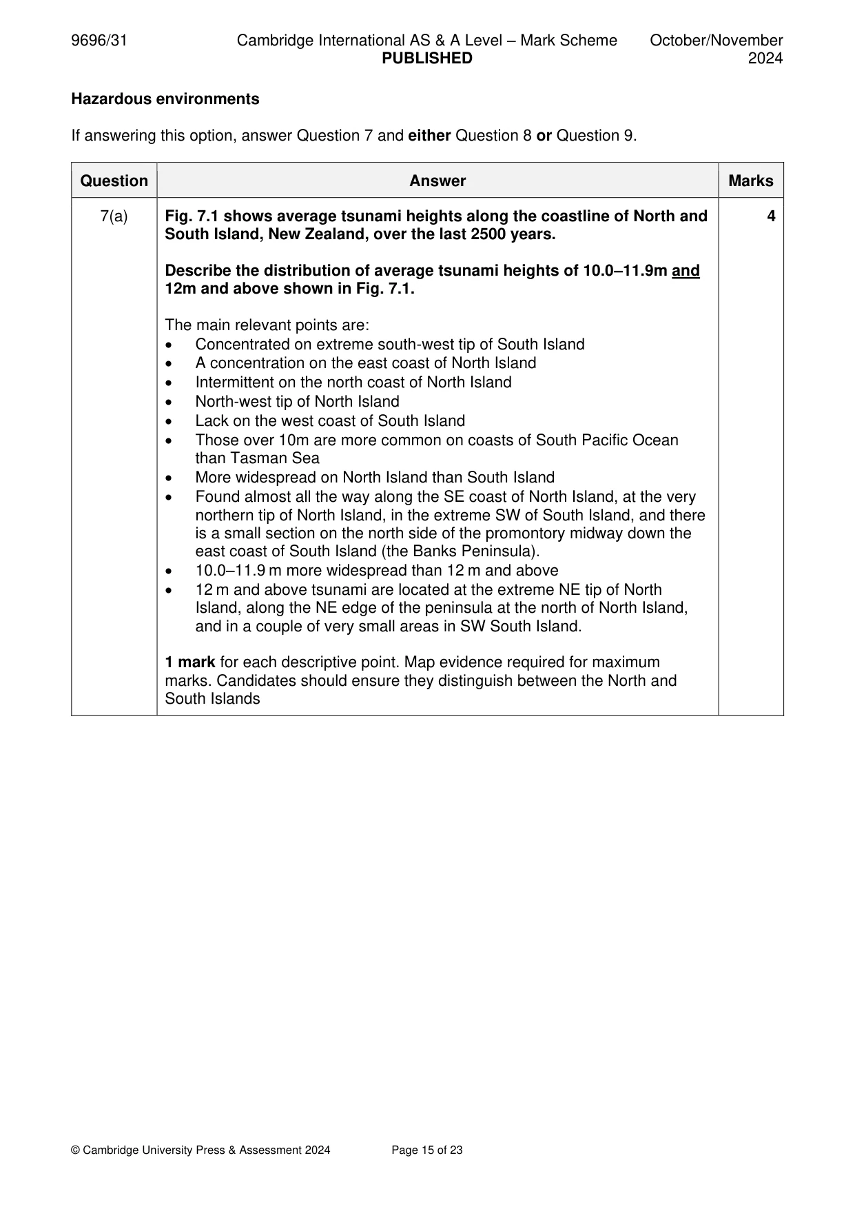
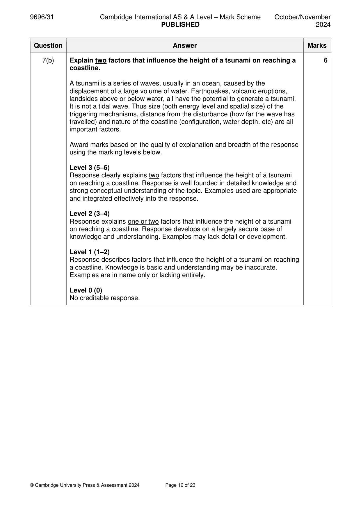
Mark scheme: 7(a) Fig. 7.1 shows average tsunami heights along the coastline of North and 4 South Island, New Zealand, over the last 2500 years. Describe the distribution of average tsunami heights of 10.0–11.9m and 12m and above shown in Fig. 7.1. The main relevant points are: • Concentrated on extreme south-west tip of South Island • A concentration on the east coast of North Island • Intermittent on the north coast of North Island • North-west tip of North Island • Lack on the west coast of South Island • Those over 10m are more common on coasts of South Pacific Ocean than Tasman Sea • More widespread on North Island than South Island • Found almost all the way along the SE coast of North Island, at the very northern tip of North Island, in the extreme SW of South Island, and there is a small section on the north side of the promontory midway down the east coast of South Island (the Banks Peninsula). • 10.0–11.9 m more widespread than 12 m and above • 12 m and above tsunami are located at the extreme NE tip of North Island, along the NE edge of the peninsula at the north of North Island, and in a couple of very small areas in SW South Island. 1 mark for each descriptive point. Map evidence required for maximum marks. Candidates should ensure they distinguish between the North and South Islands 7(b) Explain two factors that influence the height of a tsunami on reaching a 6 coastline. A tsunami is a series of waves, usually in an ocean, caused by the displacement of a large volume of water. Earthquakes, volcanic eruptions, landsides above or below water, all have the potential to generate a tsunami. It is not a tidal wave. Thus size (both energy level and spatial size) of the triggering mechanisms, distance from the disturbance (how far the wave has travelled) and nature of the coastline (configuration, water depth. etc) are all important factors. Award marks based on the quality of explanation and breadth of the response using the marking levels below. Level 3 (5–6) Response clearly explains two factors that influence the height of a tsunami on reaching a coastline. Response is well founded in detailed knowledge and strong conceptual understanding of the topic. Examples used are appropriate and integrated effectively into the response. Level 2 (3–4) Response explains one or two factors that influence the height of a tsunami on reaching a coastline. Response develops on a largely secure base of knowledge and understanding. Examples may lack detail or development. Level 1 (1–2) Response describes factors that influence the height of a tsunami on reaching a coastline. Knowledge is basic and understanding may be inaccurate. Examples are in name only or lacking entirely. Level 0 (0) No creditable response.
Q8 · ‘Some types of mass movement are more hazardous than others.’ How far do you agree with…
8 ‘Some types of mass movement are more hazardous than others.’ How far do you agree with this view? [20]
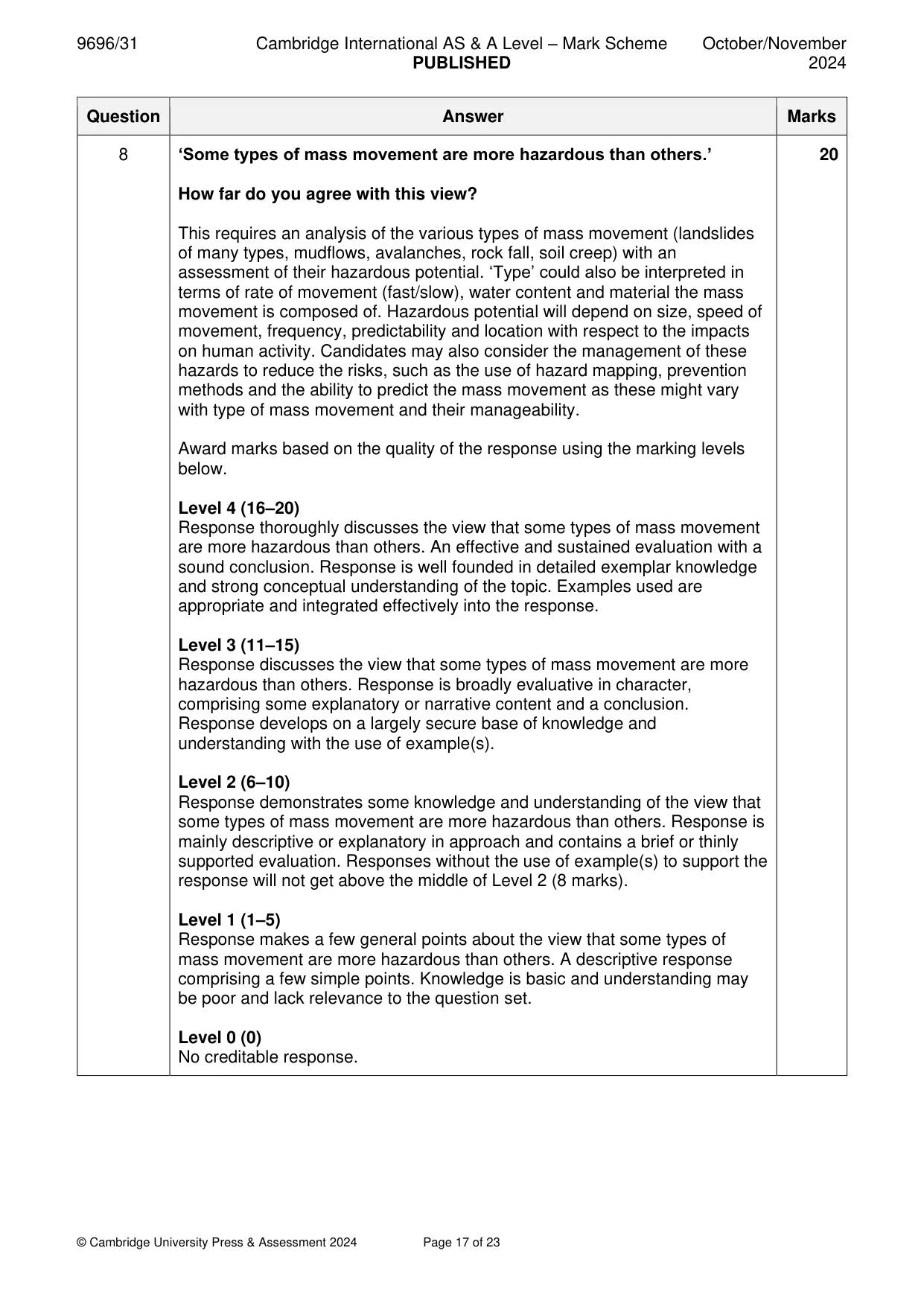
Mark scheme: 8 ‘Some types of mass movement are more hazardous than others.’ 20 How far do you agree with this view? This requires an analysis of the various types of mass movement (landslides of many types, mudflows, avalanches, rock fall, soil creep) with an assessment of their hazardous potential. ‘Type’ could also be interpreted in terms of rate of movement (fast/slow), water content and material the mass movement is composed of. Hazardous potential will depend on size, speed of movement, frequency, predictability and location with respect to the impacts on human activity. Candidates may also consider the management of these hazards to reduce the risks, such as the use of hazard mapping, prevention methods and the ability to predict the mass movement as these might vary with type of mass movement and their manageability. Award marks based on the quality of the response using the marking levels below. Level 4 (16–20) Response thoroughly discusses the view that some types of mass movement are more hazardous than others. An effective and sustained evaluation with a sound conclusion. Response is well founded in detailed exemplar knowledge and strong conceptual understanding of the topic. Examples used are appropriate and integrated effectively into the response. Level 3 (11–15) Response discusses the view that some types of mass movement are more hazardous than others. Response is broadly evaluative in character, comprising some explanatory or narrative content and a conclusion. Response develops on a largely secure base of knowledge and understanding with the use of example(s). Level 2 (6–10) Response demonstrates some knowledge and understanding of the view that some types of mass movement are more hazardous than others. Response is mainly descriptive or explanatory in approach and contains a brief or thinly supported evaluation. Responses without the use of example(s) to support the response will not get above the middle of Level 2 (8 marks). Level 1 (1–5) Response makes a few general points about the view that some types of mass movement are more hazardous than others. A descriptive response comprising a few simple points. Knowledge is basic and understanding may be poor and lack relevance to the question set. Level 0 (0) No creditable response.
Q9 · Assess the view that storm surges are the most significant hazard from large‑scale…
9 Assess the view that storm surges are the most significant hazard from large‑scale atmospheric disturbances (cyclones, hurricanes, typhoons). [20] Hot arid and semi-arid environments If answering this option, answer Question 10 and either Question 11 or Question 12.
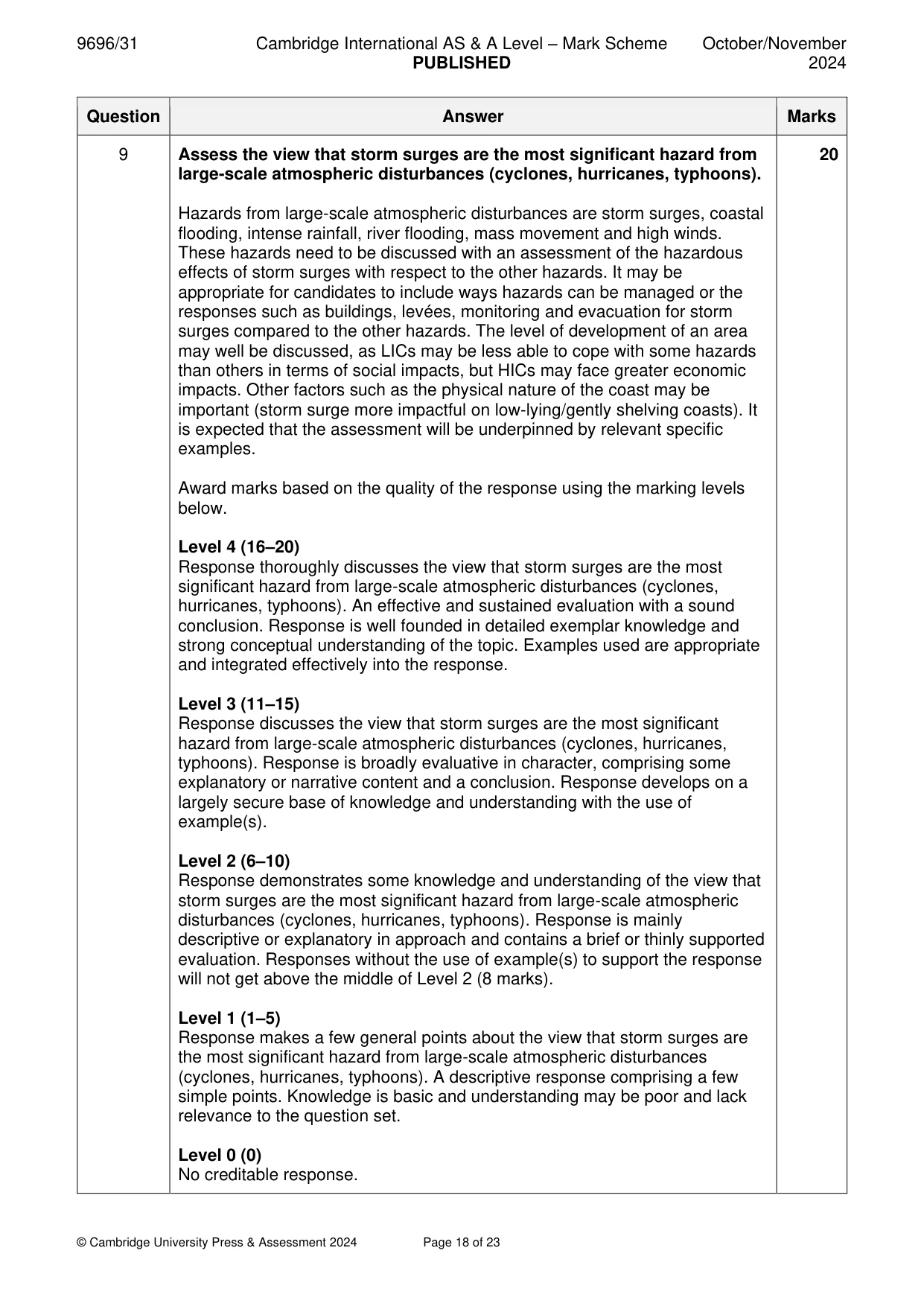
Mark scheme: 9 Assess the view that storm surges are the most significant hazard from 20 large-scale atmospheric disturbances (cyclones, hurricanes, typhoons). Hazards from large-scale atmospheric disturbances are storm surges, coastal flooding, intense rainfall, river flooding, mass movement and high winds. These hazards need to be discussed with an assessment of the hazardous effects of storm surges with respect to the other hazards. It may be appropriate for candidates to include ways hazards can be managed or the responses such as buildings, levées, monitoring and evacuation for storm surges compared to the other hazards. The level of development of an area may well be discussed, as LICs may be less able to cope with some hazards than others in terms of social impacts, but HICs may face greater economic impacts. Other factors such as the physical nature of the coast may be important (storm surge more impactful on low-lying/gently shelving coasts). It is expected that the assessment will be underpinned by relevant specific examples. Award marks based on the quality of the response using the marking levels below. Level 4 (16–20) Response thoroughly discusses the view that storm surges are the most significant hazard from large-scale atmospheric disturbances (cyclones, hurricanes, typhoons). An effective and sustained evaluation with a sound conclusion. Response is well founded in detailed exemplar knowledge and strong conceptual understanding of the topic. Examples used are appropriate and integrated effectively into the response. Level 3 (11–15) Response discusses the view that storm surges are the most significant hazard from large-scale atmospheric disturbances (cyclones, hurricanes, typhoons). Response is broadly evaluative in character, comprising some explanatory or narrative content and a conclusion. Response develops on a largely secure base of knowledge and understanding with the use of example(s). Level 2 (6–10) Response demonstrates some knowledge and understanding of the view that storm surges are the most significant hazard from large-scale atmospheric disturbances (cyclones, hurricanes, typhoons). Response is mainly descriptive or explanatory in approach and contains a brief or thinly supported evaluation. Responses without the use of example(s) to support the response will not get above the middle of Level 2 (8 marks). Level 1 (1–5) Response makes a few general points about the view that storm surges are the most significant hazard from large-scale atmospheric disturbances (cyclones, hurricanes, typhoons). A descriptive response comprising a few simple points. Knowledge is basic and understanding may be poor and lack relevance to the question set. Level 0 (0) No creditable response. Hot arid and semi-arid environments If answering this option, answer Question 10 and either Question 11 or Question 12.
Q10 · A model of landforms in a hot arid environment
10 Fig. 10.1 shows a model of landforms in a hot arid environment. (a) Describe landforms X and Y shown in Fig. 10.1. [4] (b) Explain the formation of the landforms labelled X and Y in Fig. 10.1. [6]
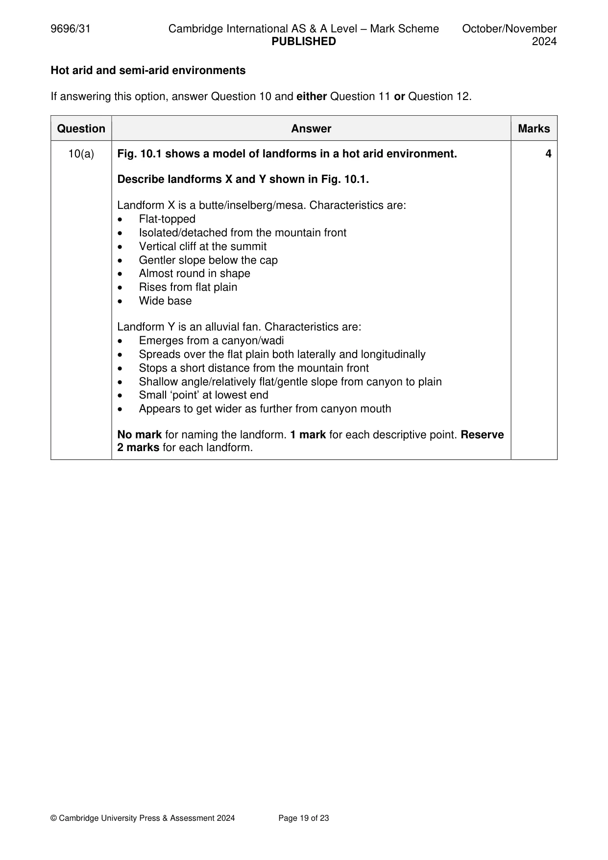
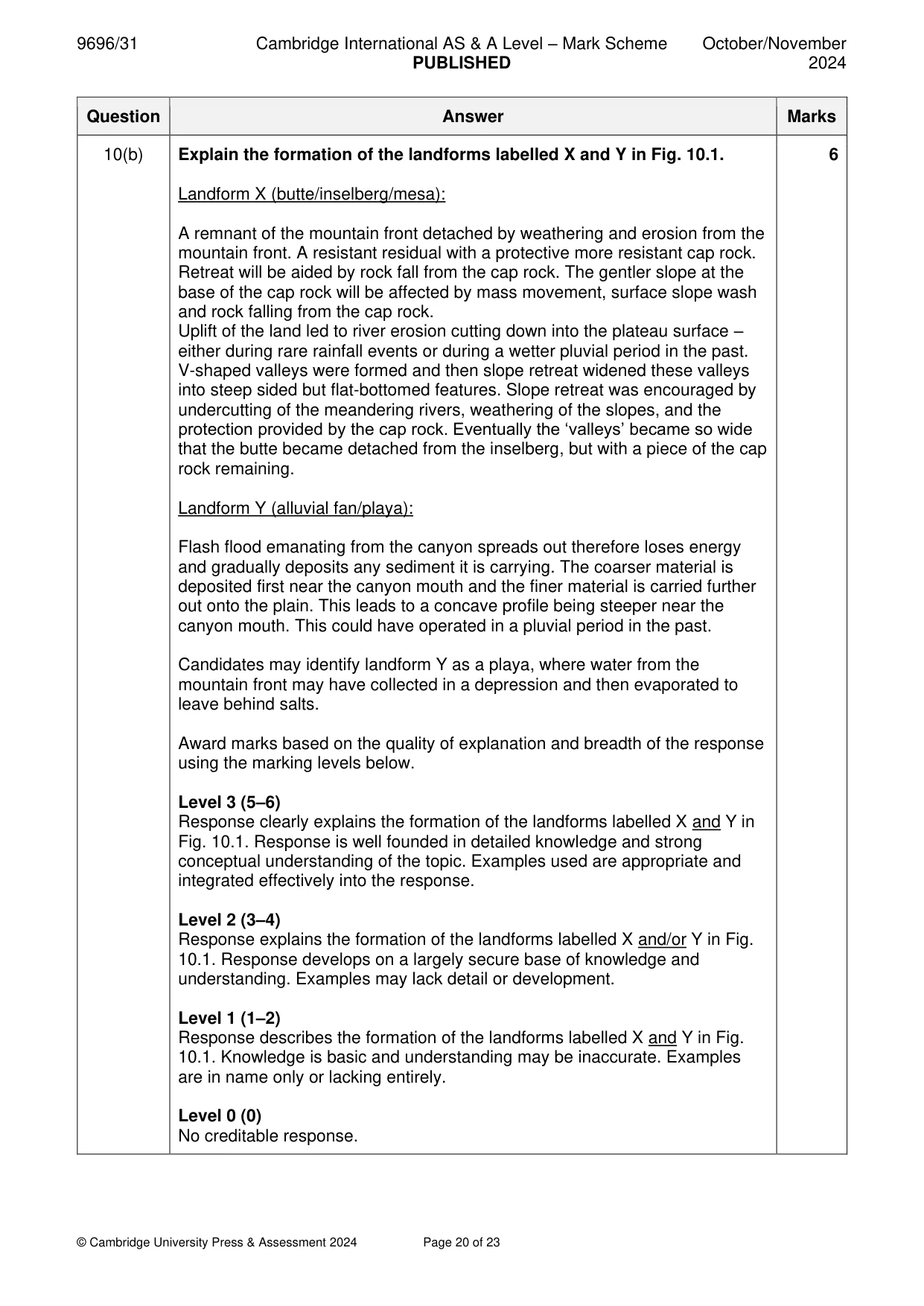
Mark scheme: 10(a) Fig. 10.1 shows a model of landforms in a hot arid environment. 4 Describe landforms X and Y shown in Fig. 10.1. Landform X is a butte/inselberg/mesa. Characteristics are: • Flat-topped • Isolated/detached from the mountain front • Vertical cliff at the summit • Gentler slope below the cap • Almost round in shape • Rises from flat plain • Wide base Landform Y is an alluvial fan. Characteristics are: • Emerges from a canyon/wadi • Spreads over the flat plain both laterally and longitudinally • Stops a short distance from the mountain front • Shallow angle/relatively flat/gentle slope from canyon to plain • Small ‘point’ at lowest end • Appears to get wider as further from canyon mouth No mark for naming the landform. 1 mark for each descriptive point. Reserve 2 marks for each landform. 10(b) Explain the formation of the landforms labelled X and Y in Fig. 10.1. 6 Landform X (butte/inselberg/mesa): A remnant of the mountain front detached by weathering and erosion from the mountain front. A resistant residual with a protective more resistant cap rock. Retreat will be aided by rock fall from the cap rock. The gentler slope at the base of the cap rock will be affected by mass movement, surface slope wash and rock falling from the cap rock. Uplift of the land led to river erosion cutting down into the plateau surface – either during rare rainfall events or during a wetter pluvial period in the past. V-shaped valleys were formed and then slope retreat widened these valleys into steep sided but flat-bottomed features. Slope retreat was encouraged by undercutting of the meandering rivers, weathering of the slopes, and the protection provided by the cap rock. Eventually the ‘valleys’ became so wide that the butte became detached from the inselberg, but with a piece of the cap rock remaining. Landform Y (alluvial fan/playa): Flash flood emanating from the canyon spreads out therefore loses energy and gradually deposits any sediment it is carrying. The coarser material is deposited first near the canyon mouth and the finer material is carried further out onto the plain. This leads to a concave profile being steeper near the canyon mouth. This could have operated in a pluvial period in the past. Candidates may identify landform Y as a playa, where water from the mountain front may have collected in a depression and then evaporated to leave behind salts. Award marks based on the quality of explanation and breadth of the response using the marking levels below. Level 3 (5–6) Response clearly explains the formation of the landforms labelled X and Y in Fig. 10.1. Response is well founded in detailed knowledge and strong conceptual understanding of the topic. Examples used are appropriate and integrated effectively into the response. Level 2 (3–4) Response explains the formation of the landforms labelled X and/or Y in Fig. 10.1. Response develops on a largely secure base of knowledge and understanding. Examples may lack detail or development. Level 1 (1–2) Response describes the formation of the landforms labelled X and Y in Fig. 10.1. Knowledge is basic and understanding may be inaccurate. Examples are in name only or lacking entirely. Level 0 (0) No creditable response.
Q11 · Assess the view that the degradation of soils and vegetation in semi‑arid environments is…
11 Assess the view that the degradation of soils and vegetation in semi‑arid environments is mainly caused by salinisation. [20]
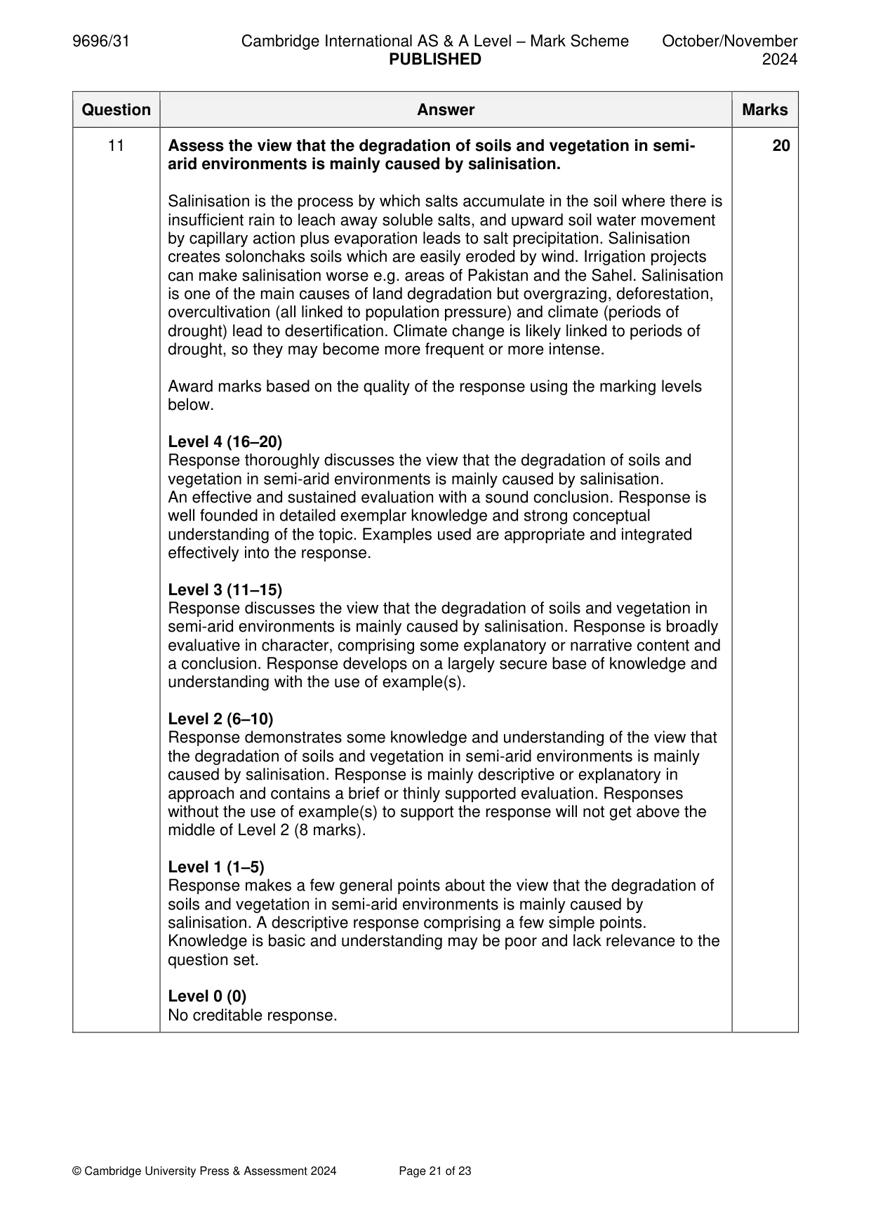
Mark scheme: 11 Assess the view that the degradation of soils and vegetation in semi- 20 arid environments is mainly caused by salinisation. Salinisation is the process by which salts accumulate in the soil where there is insufficient rain to leach away soluble salts, and upward soil water movement by capillary action plus evaporation leads to salt precipitation. Salinisation creates solonchaks soils which are easily eroded by wind. Irrigation projects can make salinisation worse e.g. areas of Pakistan and the Sahel. Salinisation is one of the main causes of land degradation but overgrazing, deforestation, overcultivation (all linked to population pressure) and climate (periods of drought) lead to desertification. Climate change is likely linked to periods of drought, so they may become more frequent or more intense. Award marks based on the quality of the response using the marking levels below. Level 4 (16–20) Response thoroughly discusses the view that the degradation of soils and vegetation in semi-arid environments is mainly caused by salinisation. An effective and sustained evaluation with a sound conclusion. Response is well founded in detailed exemplar knowledge and strong conceptual understanding of the topic. Examples used are appropriate and integrated effectively into the response. Level 3 (11–15) Response discusses the view that the degradation of soils and vegetation in semi-arid environments is mainly caused by salinisation. Response is broadly evaluative in character, comprising some explanatory or narrative content and a conclusion. Response develops on a largely secure base of knowledge and understanding with the use of example(s). Level 2 (6–10) Response demonstrates some knowledge and understanding of the view that the degradation of soils and vegetation in semi-arid environments is mainly caused by salinisation. Response is mainly descriptive or explanatory in approach and contains a brief or thinly supported evaluation. Responses without the use of example(s) to support the response will not get above the middle of Level 2 (8 marks). Level 1 (1–5) Response makes a few general points about the view that the degradation of soils and vegetation in semi-arid environments is mainly caused by salinisation. A descriptive response comprising a few simple points. Knowledge is basic and understanding may be poor and lack relevance to the question set. Level 0 (0) No creditable response.
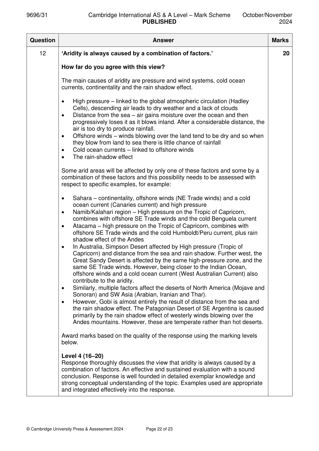
Q12 · ‘Aridity is always caused by a combination of factors.’ How far do you agree with this…
12 ‘Aridity is always caused by a combination of factors.’ How far do you agree with this view? [20]
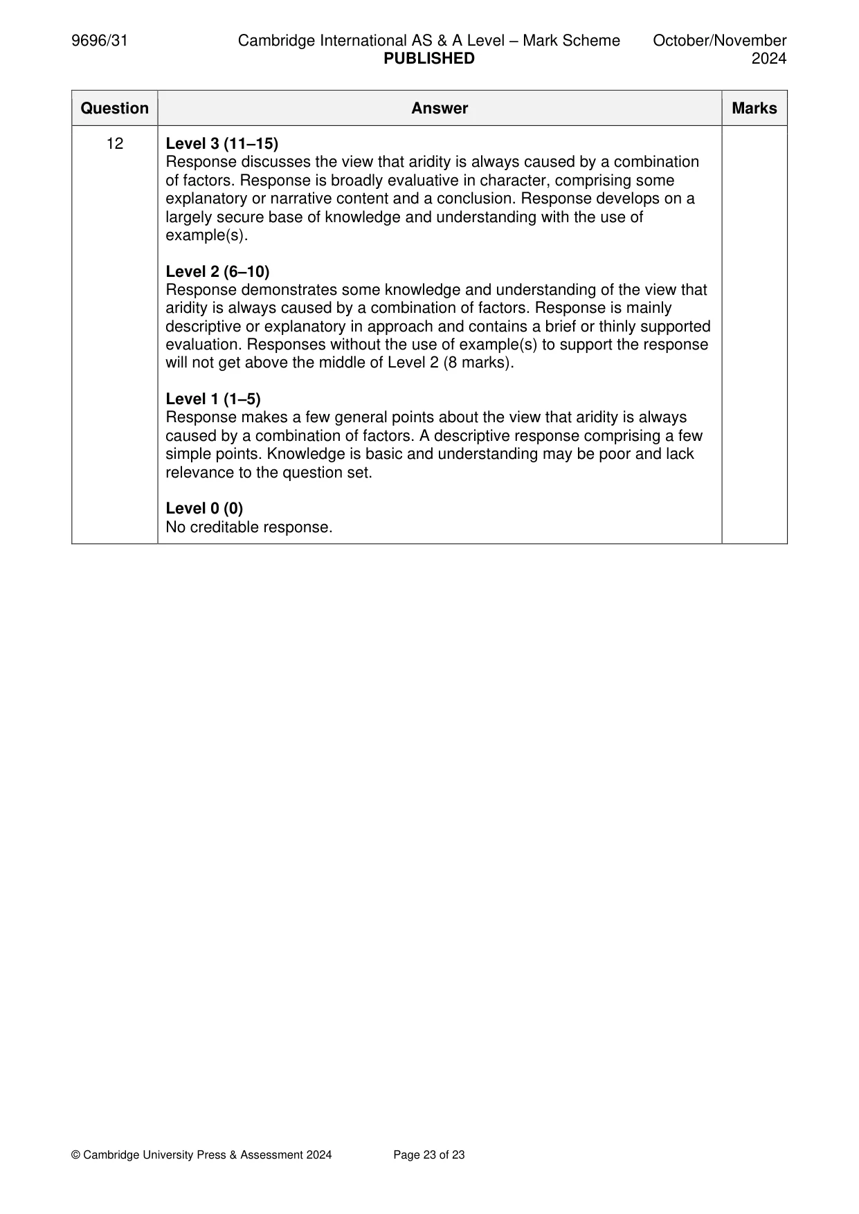
Mark scheme: 12 ‘Aridity is always caused by a combination of factors.’ 20 How far do you agree with this view? The main causes of aridity are pressure and wind systems, cold ocean currents, continentality and the rain shadow effect. • High pressure – linked to the global atmospheric circulation (Hadley Cells), descending air leads to dry weather and a lack of clouds • Distance from the sea – air gains moisture over the ocean and then progressively loses it as it blows inland. After a considerable distance, the air is too dry to produce rainfall. • Offshore winds – winds blowing over the land tend to be dry and so when they blow from land to sea there is little chance of rainfall • Cold ocean currents – linked to offshore winds • The rain-shadow effect Some arid areas will be affected by only one of these factors and some by a combination of these factors and this possibility needs to be assessed with respect to specific examples, for example: • Sahara – continentality, offshore winds (NE Trade winds) and a cold ocean current (Canaries current) and high pressure • Namib/Kalahari region – High pressure on the Tropic of Capricorn, combines with offshore SE Trade winds and the cold Benguela current • Atacama – high pressure on the Tropic of Capricorn, combines with offshore SE Trade winds and the cold Humboldt/Peru current, plus rain shadow effect of the Andes • In Australia, Simpson Desert affected by High pressure (Tropic of Capricorn) and distance from the sea and rain shadow. Further west, the Great Sandy Desert is affected by the same high-pressure zone, and the same SE Trade winds. However, being closer to the Indian Ocean, offshore winds and a cold ocean current (West Australian Current) also contribute to the aridity. • Similarly, multiple factors affect the deserts of North America (Mojave and Sonoran) and SW Asia (Arabian, Iranian and Thar). • However, Gobi is almost entirely the result of distance from the sea and the rain shadow effect. The Patagonian Desert of SE Argentina is caused primarily by the rain shadow effect of westerly winds blowing over the Andes mountains. However, these are temperate rather than hot deserts. Award marks based on the quality of the response using the marking levels below. Level 4 (16–20) Response thoroughly discusses the view that aridity is always caused by a combination of factors. An effective and sustained evaluation with a sound conclusion. Response is well founded in detailed exemplar knowledge and strong conceptual understanding of the topic. Examples used are appropriate and integrated effectively into the response. 12 Level 3 (11–15) Response discusses the view that aridity is always caused by a combination of factors. Response is broadly evaluative in character, comprising some explanatory or narrative content and a conclusion. Response develops on a largely secure base of knowledge and understanding with the use of example(s). Level 2 (6–10) Response demonstrates some knowledge and understanding of the view that aridity is always caused by a combination of factors. Response is mainly descriptive or explanatory in approach and contains a brief or thinly supported evaluation. Responses without the use of example(s) to support the response will not get above the middle of Level 2 (8 marks). Level 1 (1–5) Response makes a few general points about the view that aridity is always caused by a combination of factors. A descriptive response comprising a few simple points. Knowledge is basic and understanding may be poor and lack relevance to the question set. Level 0 (0) No creditable response.
What was in this paper
The subtopics covered by these 12 questions, and how many questions each got. Open one in a new tab to see every Cambridge question on it.
1Coral reefs1Hazards resulting from atmospheric disturbances1Hazards resulting from mass movements1Hazards resulting from tectonic processes1Hot arid and semi-arid climates1Humid tropical (rainforest) ecosystems and seasonally humid tropical (savanna) ecosystems1Landforms of hot arid and semi-arid environments1Landforms of tropical environments1Sustainable management in hazardous environments1Sustainable management of hot arid and semi-arid environments1Tropical climates1What you needed in this session
Cambridge’s own grade thresholds for 2024 Oct/Nov, Paper 3 · Variant 1. A higher threshold means an easier paper — the bar moves with how the cohort did.