Cambridge A Level Geography 9696 — 2024 May/June Paper 3 · Variant 1
9696/31/M/J/24 · 11 questions · 60 marks · ≈68 min
The question paper and its mark scheme, free to read here and free to download. This is Cambridge’s own paper, exactly as it was sat.
Question paper4 pages


Mark scheme28 pages
Answers below. Sit the paper first if you are practising.







Questions as text
Q1 · A pyramid of biomass for a seasonally humid tropical (savanna) ecosystem
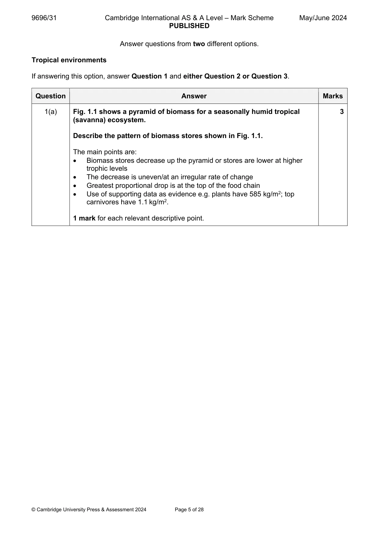
1 Fig. 1.1 shows a pyramid of biomass for a seasonally humid tropical (savanna) ecosystem. (a) Describe the pattern of biomass stores shown in Fig. 1.1. [3] (b) Explain the pattern you described in (a). [7]
Mark scheme: Question Answer Marks 1(a) Fig. 1.1 shows a pyramid of biomass for a seasonally humid tropical 3 (savanna) ecosystem. Describe the pattern of biomass stores shown in Fig. 1.1. The main points are: Biomass stores decrease up the pyramid or stores are lower at higher trophic levels The decrease is uneven/at an irregular rate of change Greatest proportional drop is at the top of the food chain Use of supporting data as evidence e.g. plants have 585 kg/m2; top carnivores have 1.1 kg/m2. 1 mark for each relevant descriptive point. 1(b) Explain the pattern you described in (a). 7 Biomass stores decrease at higher trophic levels due to inefficiency. Available energy decreases at each successive level because: Producers (e.g. acacia, elephant grass) produce food energy for consumers by photosynthesis Not all food sources are consumed e.g. some green plants die and add nutrients to the soil, some vegetation is coarse and cannot be digested Losses from consumers (e.g. warthogs, gazelle) occur in excretion of faeces/urine Biomass at all levels can be decayed by decomposers and so it is unavailable to the next level Respiration loses occur at each level Top carnivores such as lions use much of their food for movement/activity hunting herbivores such as zebra/impala. Award marks based on the quality of explanation and breadth of the response using the marking levels below. Level 3 (6–7) Response clearly explains the pattern described in (a). Response is well founded in detailed knowledge and strong conceptual understanding of the topic. Examples used are appropriate and integrated effectively into the response. Level 2 (3–5) Response explains the pattern described in (a). Response develops on a largely secure base of knowledge and understanding. Examples may lack detail or development. Level 1 (1–2) Response explains the pattern described in (a). Knowledge is basic and understanding may be inaccurate. Examples are in name only or lacking entirely. Level 0 (0) No creditable response.
Q2 · Assess the relative importance of the processes involved in the formation of different…
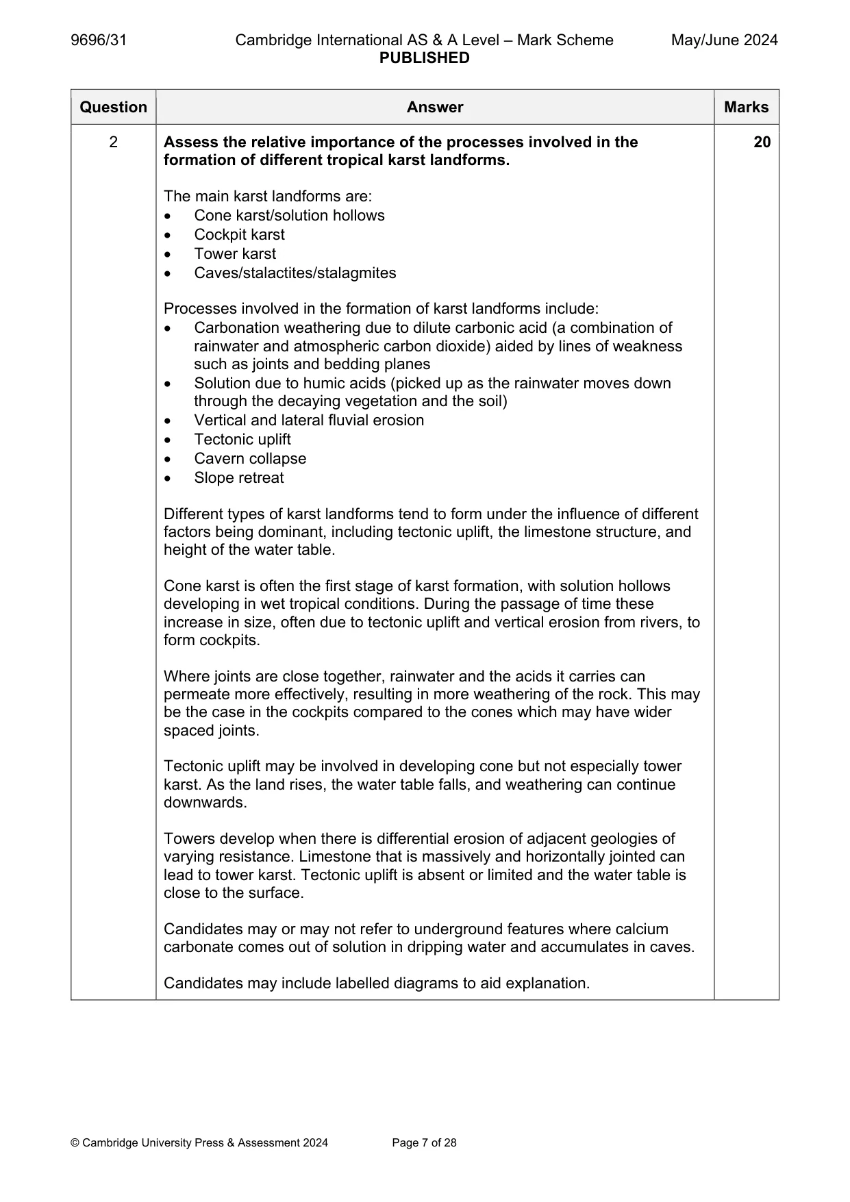
2 Assess the relative importance of the processes involved in the formation of different tropical karst landforms. [20]
Mark scheme: 2 Assess the relative importance of the processes involved in the 20 formation of different tropical karst landforms. The main karst landforms are: Cone karst/solution hollows Cockpit karst Tower karst Caves/stalactites/stalagmites Processes involved in the formation of karst landforms include: Carbonation weathering due to dilute carbonic acid (a combination of rainwater and atmospheric carbon dioxide) aided by lines of weakness such as joints and bedding planes Solution due to humic acids (picked up as the rainwater moves down through the decaying vegetation and the soil) Vertical and lateral fluvial erosion Tectonic uplift Cavern collapse Slope retreat Different types of karst landforms tend to form under the influence of different factors being dominant, including tectonic uplift, the limestone structure, and height of the water table. Cone karst is often the first stage of karst formation, with solution hollows developing in wet tropical conditions. During the passage of time these increase in size, often due to tectonic uplift and vertical erosion from rivers, to form cockpits. Where joints are close together, rainwater and the acids it carries can permeate more effectively, resulting in more weathering of the rock. This may be the case in the cockpits compared to the cones which may have wider spaced joints. Tectonic uplift may be involved in developing cone but not especially tower karst. As the land rises, the water table falls, and weathering can continue downwards. Towers develop when there is differential erosion of adjacent geologies of varying resistance. Limestone that is massively and horizontally jointed can lead to tower karst. Tectonic uplift is absent or limited and the water table is close to the surface. Candidates may or may not refer to underground features where calcium carbonate comes out of solution in dripping water and accumulates in caves. Candidates may include labelled diagrams to aid explanation. 2 Award marks based on the quality of the response using the marking levels below. Level 4 (16–20) Response thoroughly discusses the relative importance of the processes involved in the formation of different tropical karst landforms. An effective and sustained evaluation with a sound conclusion. Response is well founded in detailed exemplar knowledge and strong conceptual understanding of the topic. Examples used are appropriate and integrated effectively into the response. Level 3 (11–15) Response discusses the relative importance of the processes involved in the formation of different tropical karst landforms. Response is broadly evaluative in character, comprising some explanatory or narrative content and a conclusion. Response develops on a largely secure base of knowledge and understanding with the use of example(s). Level 2 (6–10) Response demonstrates some knowledge and understanding of the relative importance of the processes involved in the formation of different tropical karst landforms. Response is mainly descriptive or explanatory in approach and contains a brief or thinly supported evaluation. Responses without the use of example(s) to support the response will not get above the middle of Level 2 (8 marks). Level 1 (1–5) Response makes a few general points about the relative importance of the processes involved in the formation of different tropical karst landforms. A descriptive response comprising a few simple points. Knowledge is basic and understanding may be poor and lack relevance to the question set. Level 0 (0) No creditable response.
Q3 · ‘The most important factor influencing tropical climates is atmospheric pressure.’ How…
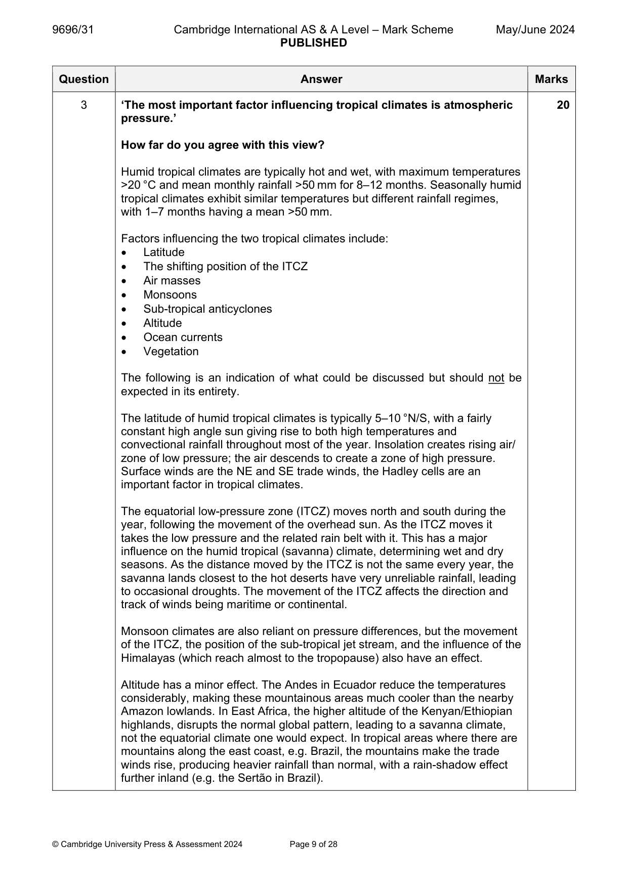
3 ‘The most important factor influencing tropical climates is atmospheric pressure.’ How far do you agree with this view? [20] Coastal environments If answering this option, answer Question 4 and either Question 5 or Question 6.
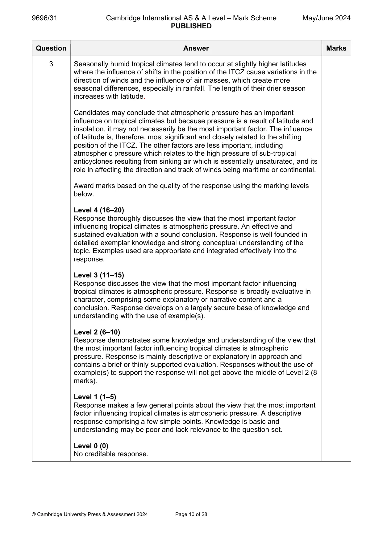
Mark scheme: 3 ‘The most important factor influencing tropical climates is atmospheric 20 pressure.’ How far do you agree with this view? Humid tropical climates are typically hot and wet, with maximum temperatures >20 °C and mean monthly rainfall >50 mm for 8–12 months. Seasonally humid tropical climates exhibit similar temperatures but different rainfall regimes, with 1–7 months having a mean >50 mm. Factors influencing the two tropical climates include: Latitude The shifting position of the ITCZ Air masses Monsoons Sub-tropical anticyclones Altitude Ocean currents Vegetation The following is an indication of what could be discussed but should not be expected in its entirety. The latitude of humid tropical climates is typically 5–10 °N/S, with a fairly constant high angle sun giving rise to both high temperatures and convectional rainfall throughout most of the year. Insolation creates rising air/ zone of low pressure; the air descends to create a zone of high pressure. Surface winds are the NE and SE trade winds, the Hadley cells are an important factor in tropical climates. The equatorial low-pressure zone (ITCZ) moves north and south during the year, following the movement of the overhead sun. As the ITCZ moves it takes the low pressure and the related rain belt with it. This has a major influence on the humid tropical (savanna) climate, determining wet and dry seasons. As the distance moved by the ITCZ is not the same every year, the savanna lands closest to the hot deserts have very unreliable rainfall, leading to occasional droughts. The movement of the ITCZ affects the direction and track of winds being maritime or continental. Monsoon climates are also reliant on pressure differences, but the movement of the ITCZ, the position of the sub-tropical jet stream, and the influence of the Himalayas (which reach almost to the tropopause) also have an effect. Altitude has a minor effect. The Andes in Ecuador reduce the temperatures considerably, making these mountainous areas much cooler than the nearby Amazon lowlands. In East Africa, the higher altitude of the Kenyan/Ethiopian highlands, disrupts the normal global pattern, leading to a savanna climate, not the equatorial climate one would expect. In tropical areas where there are mountains along the east coast, e.g. Brazil, the mountains make the trade winds rise, producing heavier rainfall than normal, with a rain-shadow effect further inland (e.g. the Sertão in Brazil). 3 Seasonally humid tropical climates tend to occur at slightly higher latitudes where the influence of shifts in the position of the ITCZ cause variations in the direction of winds and the influence of air masses, which create more seasonal differences, especially in rainfall. The length of their drier season increases with latitude. Candidates may conclude that atmospheric pressure has an important influence on tropical climates but because pressure is a result of latitude and insolation, it may not necessarily be the most important factor. The influence of latitude is, therefore, most significant and closely related to the shifting position of the ITCZ. The other factors are less important, including atmospheric pressure which relates to the high pressure of sub-tropical anticyclones resulting from sinking air which is essentially unsaturated, and its role in affecting the direction and track of winds being maritime or continental. Award marks based on the quality of the response using the marking levels below. Level 4 (16–20) Response thoroughly discusses the view that the most important factor influencing tropical climates is atmospheric pressure. An effective and sustained evaluation with a sound conclusion. Response is well founded in detailed exemplar knowledge and strong conceptual understanding of the topic. Examples used are appropriate and integrated effectively into the response. Level 3 (11–15) Response discusses the view that the most important factor influencing tropical climates is atmospheric pressure. Response is broadly evaluative in character, comprising some explanatory or narrative content and a conclusion. Response develops on a largely secure base of knowledge and understanding with the use of example(s). Level 2 (6–10) Response demonstrates some knowledge and understanding of the view that the most important factor influencing tropical climates is atmospheric pressure. Response is mainly descriptive or explanatory in approach and contains a brief or thinly supported evaluation. Responses without the use of example(s) to support the response will not get above the middle of Level 2 (8 marks). Level 1 (1–5) Response makes a few general points about the view that the most important factor influencing tropical climates is atmospheric pressure. A descriptive response comprising a few simple points. Knowledge is basic and understanding may be poor and lack relevance to the question set. Level 0 (0) No creditable response. Coastal environments If answering this option, answer Question 4 and either Question 5 or Question 6.
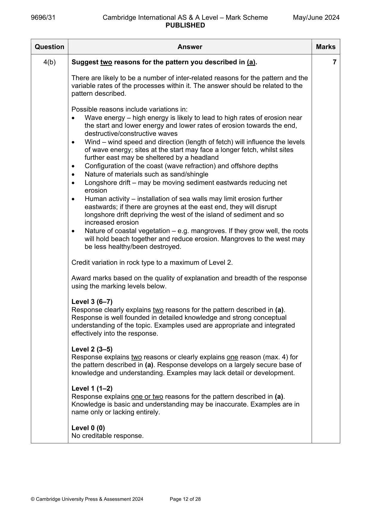
Q4 · Erosion rates along a section of a barrier island near Lagos, Nigeria, 2001–13
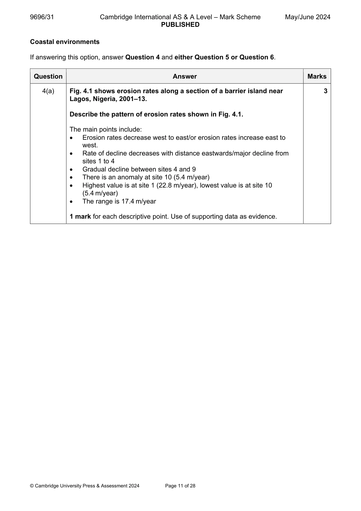
4 Fig. 4.1 shows erosion rates along a section of a barrier island near Lagos, Nigeria, 2001–13. (a) Describe the pattern of erosion rates shown in Fig. 4.1. [3] (b) Suggest two reasons for the pattern you described in (a). [7]
Mark scheme: 4(a) Fig. 4.1 shows erosion rates along a section of a barrier island near 3 Lagos, Nigeria, 2001–13. Describe the pattern of erosion rates shown in Fig. 4.1. The main points include: Erosion rates decrease west to east/or erosion rates increase east to west. Rate of decline decreases with distance eastwards/major decline from sites 1 to 4 Gradual decline between sites 4 and 9 There is an anomaly at site 10 (5.4 m/year) Highest value is at site 1 (22.8 m/year), lowest value is at site 10 (5.4 m/year) The range is 17.4 m/year 1 mark for each descriptive point. Use of supporting data as evidence. 4(b) Suggest two reasons for the pattern you described in (a). 7 There are likely to be a number of inter-related reasons for the pattern and the variable rates of the processes within it. The answer should be related to the pattern described. Possible reasons include variations in: Wave energy – high energy is likely to lead to high rates of erosion near the start and lower energy and lower rates of erosion towards the end, destructive/constructive waves Wind – wind speed and direction (length of fetch) will influence the levels of wave energy; sites at the start may face a longer fetch, whilst sites further east may be sheltered by a headland Configuration of the coast (wave refraction) and offshore depths Nature of materials such as sand/shingle Longshore drift – may be moving sediment eastwards reducing net erosion Human activity – installation of sea walls may limit erosion further eastwards; if there are groynes at the east end, they will disrupt longshore drift depriving the west of the island of sediment and so increased erosion Nature of coastal vegetation – e.g. mangroves. If they grow well, the roots will hold beach together and reduce erosion. Mangroves to the west may be less healthy/been destroyed. Credit variation in rock type to a maximum of Level 2. Award marks based on the quality of explanation and breadth of the response using the marking levels below. Level 3 (6–7) Response clearly explains two reasons for the pattern described in (a). Response is well founded in detailed knowledge and strong conceptual understanding of the topic. Examples used are appropriate and integrated effectively into the response. Level 2 (3–5) Response explains two reasons or clearly explains one reason (max. 4) for the pattern described in (a). Response develops on a largely secure base of knowledge and understanding. Examples may lack detail or development. Level 1 (1–2) Response explains one or two reasons for the pattern described in (a). Knowledge is basic and understanding may be inaccurate. Examples are in name only or lacking entirely. Level 0 (0) No creditable response.
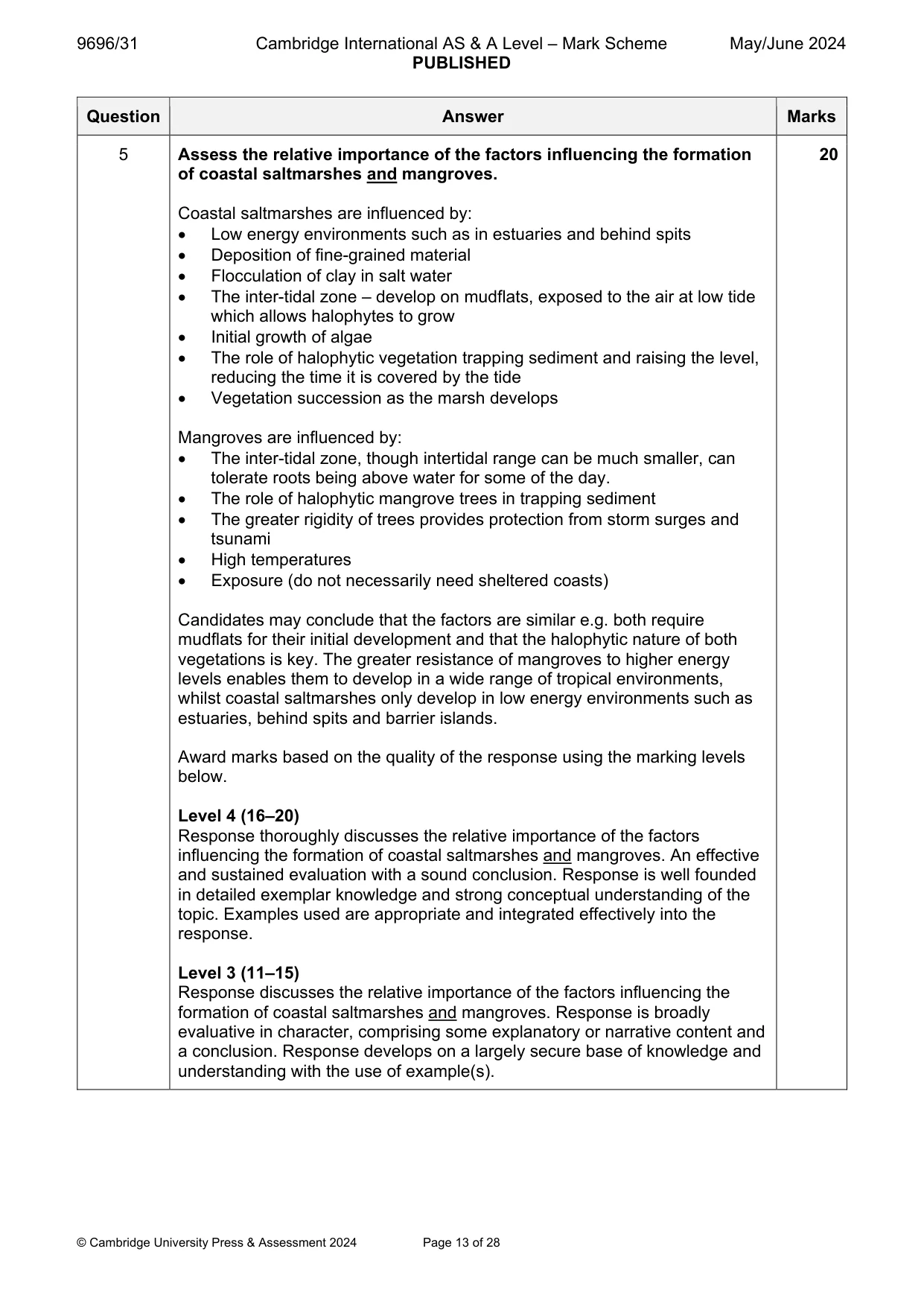
Q5 · Assess the relative importance of the factors influencing the formation of coastal…
5 Assess the relative importance of the factors influencing the formation of coastal saltmarshes and mangroves. [20]
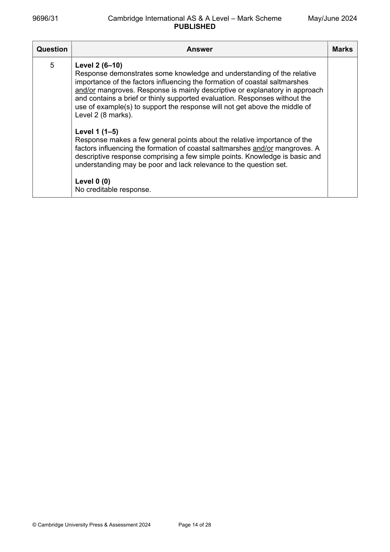
Mark scheme: 5 Assess the relative importance of the factors influencing the formation 20 of coastal saltmarshes and mangroves. Coastal saltmarshes are influenced by: Low energy environments such as in estuaries and behind spits Deposition of fine-grained material Flocculation of clay in salt water The inter-tidal zone – develop on mudflats, exposed to the air at low tide which allows halophytes to grow Initial growth of algae The role of halophytic vegetation trapping sediment and raising the level, reducing the time it is covered by the tide Vegetation succession as the marsh develops Mangroves are influenced by: The inter-tidal zone, though intertidal range can be much smaller, can tolerate roots being above water for some of the day. The role of halophytic mangrove trees in trapping sediment The greater rigidity of trees provides protection from storm surges and tsunami High temperatures Exposure (do not necessarily need sheltered coasts) Candidates may conclude that the factors are similar e.g. both require mudflats for their initial development and that the halophytic nature of both vegetations is key. The greater resistance of mangroves to higher energy levels enables them to develop in a wide range of tropical environments, whilst coastal saltmarshes only develop in low energy environments such as estuaries, behind spits and barrier islands. Award marks based on the quality of the response using the marking levels below. Level 4 (16–20) Response thoroughly discusses the relative importance of the factors influencing the formation of coastal saltmarshes and mangroves. An effective and sustained evaluation with a sound conclusion. Response is well founded in detailed exemplar knowledge and strong conceptual understanding of the topic. Examples used are appropriate and integrated effectively into the response. Level 3 (11–15) Response discusses the relative importance of the factors influencing the formation of coastal saltmarshes and mangroves. Response is broadly evaluative in character, comprising some explanatory or narrative content and a conclusion. Response develops on a largely secure base of knowledge and understanding with the use of example(s). 5 Level 2 (6–10) Response demonstrates some knowledge and understanding of the relative importance of the factors influencing the formation of coastal saltmarshes and/or mangroves. Response is mainly descriptive or explanatory in approach and contains a brief or thinly supported evaluation. Responses without the use of example(s) to support the response will not get above the middle of Level 2 (8 marks). Level 1 (1–5) Response makes a few general points about the relative importance of the factors influencing the formation of coastal saltmarshes and/or mangroves. A descriptive response comprising a few simple points. Knowledge is basic and understanding may be poor and lack relevance to the question set. Level 0 (0) No creditable response.
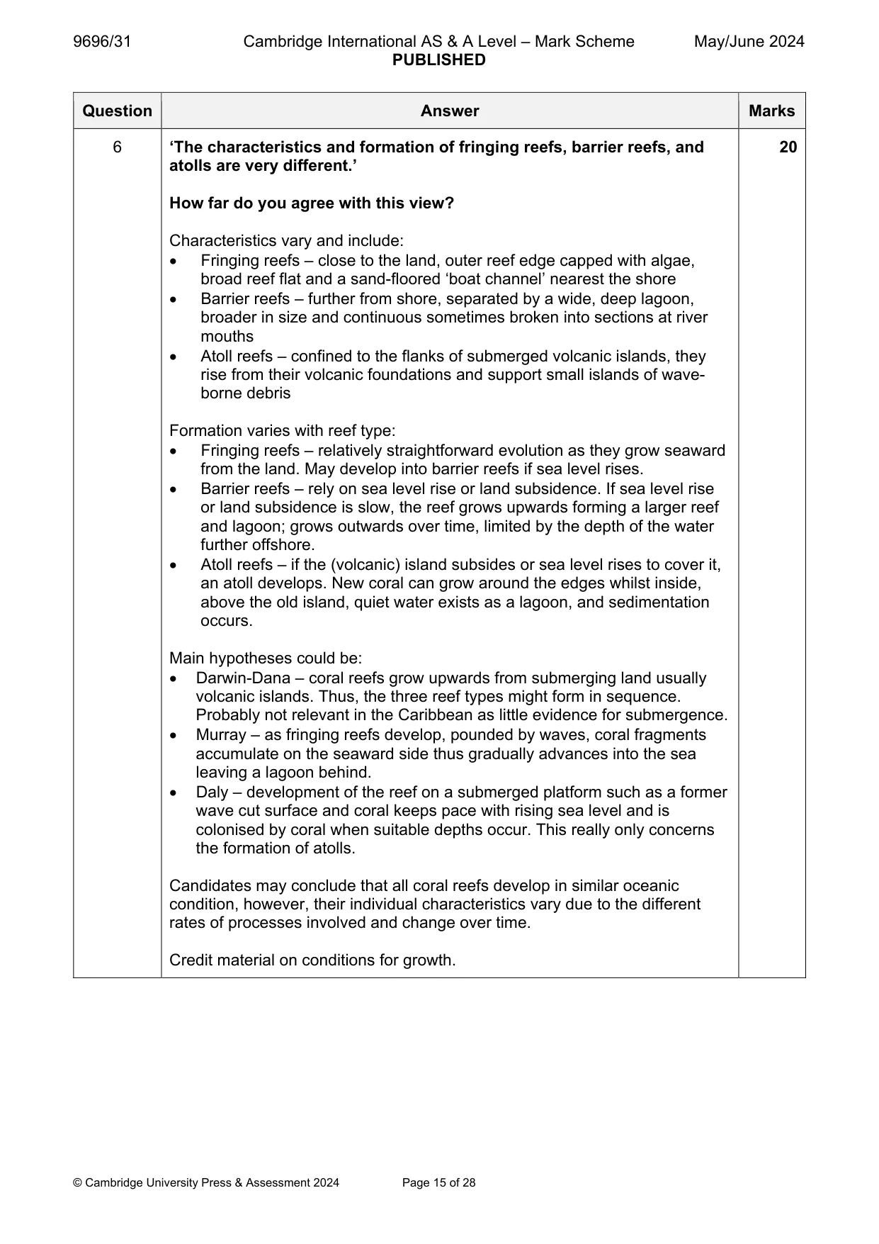
Q6 · ‘The characteristics and formation of fringing reefs, barrier reefs, and atolls are very…
6 ‘The characteristics and formation of fringing reefs, barrier reefs, and atolls are very different.’ How far do you agree with this view? [20] Hazardous environments If answering this option, answer Question 7 and either Question 8 or Question 9.
Mark scheme: 6 ‘The characteristics and formation of fringing reefs, barrier reefs, and 20 atolls are very different.’ How far do you agree with this view? Characteristics vary and include: Fringing reefs – close to the land, outer reef edge capped with algae, broad reef flat and a sand-floored ‘boat channel’ nearest the shore Barrier reefs – further from shore, separated by a wide, deep lagoon, broader in size and continuous sometimes broken into sections at river mouths Atoll reefs – confined to the flanks of submerged volcanic islands, they rise from their volcanic foundations and support small islands of wave- borne debris Formation varies with reef type: Fringing reefs – relatively straightforward evolution as they grow seaward from the land. May develop into barrier reefs if sea level rises. Barrier reefs – rely on sea level rise or land subsidence. If sea level rise or land subsidence is slow, the reef grows upwards forming a larger reef and lagoon; grows outwards over time, limited by the depth of the water further offshore. Atoll reefs – if the (volcanic) island subsides or sea level rises to cover it, an atoll develops. New coral can grow around the edges whilst inside, above the old island, quiet water exists as a lagoon, and sedimentation occurs. Main hypotheses could be: Darwin-Dana – coral reefs grow upwards from submerging land usually volcanic islands. Thus, the three reef types might form in sequence. Probably not relevant in the Caribbean as little evidence for submergence. Murray – as fringing reefs develop, pounded by waves, coral fragments accumulate on the seaward side thus gradually advances into the sea leaving a lagoon behind. Daly – development of the reef on a submerged platform such as a former wave cut surface and coral keeps pace with rising sea level and is colonised by coral when suitable depths occur. This really only concerns the formation of atolls. Candidates may conclude that all coral reefs develop in similar oceanic condition, however, their individual characteristics vary due to the different rates of processes involved and change over time. Credit material on conditions for growth. 6 Award marks based on the quality of the response using the marking levels below. Level 4 (16–20) Response thoroughly discusses the view that the characteristics and formation of fringing reefs, barrier reefs, and atolls are very different. An effective and sustained evaluation with a sound conclusion. Response is well founded in detailed exemplar knowledge and strong conceptual understanding of the topic. Examples used are appropriate and integrated effectively into the response. Level 3 (11–15) Response discusses the view that the characteristics and formation of fringing reefs, barrier reefs, and atolls are very different. Response is broadly evaluative in character, comprising some explanatory or narrative content and a conclusion. Response develops on a largely secure base of knowledge and understanding with the use of example(s). Level 2 (6–10) Response demonstrates some knowledge and understanding of the view that the characteristics and formation of fringing reefs, barrier reefs, and atolls are very different. Response is mainly descriptive or explanatory in approach and contains a brief or thinly supported evaluation. Responses without the use of example(s) to support the response will not get above the middle of Level 2 (8 marks). Level 1 (1–5) Response makes a few general points about the view that the characteristics and formation of fringing reefs, barrier reefs, and atolls are very different. A descriptive response comprising a few simple points. Knowledge is basic and understanding may be poor and lack relevance to the question set. Level 0 (0) No creditable response. Hazardous environments If answering this option, answer Question 7 and either Question 8 or Question 9.
Q7 · Pyroclastic flows from Soufrière Hills volcano, Montserrat, on 8 January 2010
7 Fig. 7.1 shows pyroclastic flows from Soufrière Hills volcano, Montserrat, on 8 January 2010. (a) Describe the pattern of pyroclastic flows shown in Fig. 7.1. [4] (b) Explain how pyroclastic flows are formed. [6]
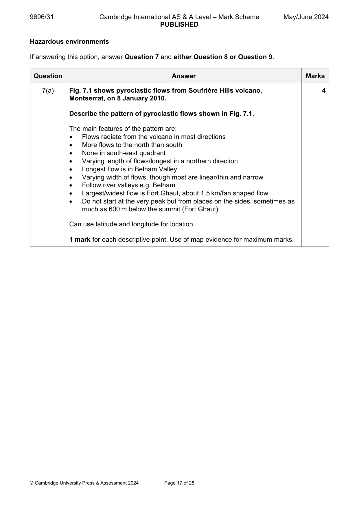
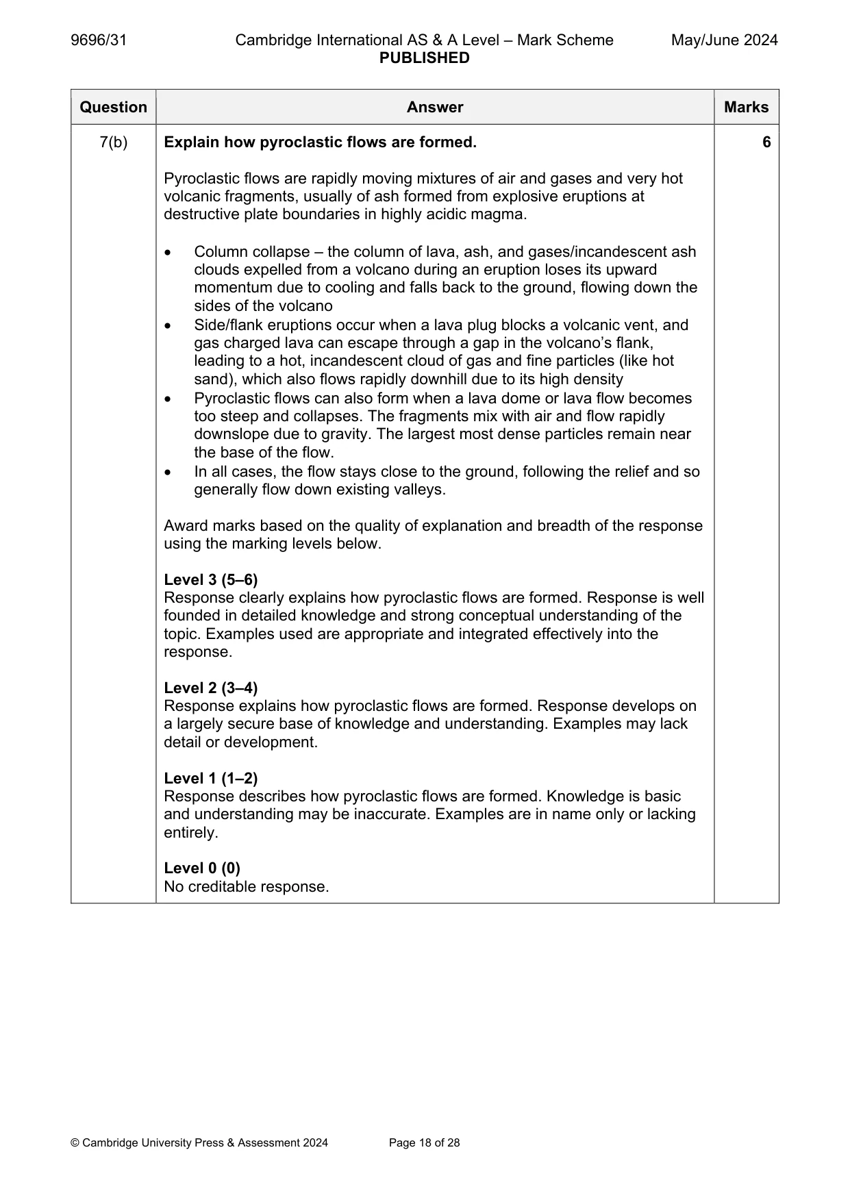
Mark scheme: 7(a) Fig. 7.1 shows pyroclastic flows from Soufrière Hills volcano, 4 Montserrat, on 8 January 2010. Describe the pattern of pyroclastic flows shown in Fig. 7.1. The main features of the pattern are: Flows radiate from the volcano in most directions More flows to the north than south None in south-east quadrant Varying length of flows/longest in a northern direction Longest flow is in Belham Valley Varying width of flows, though most are linear/thin and narrow Follow river valleys e.g. Belham Largest/widest flow is Fort Ghaut, about 1.5 km/fan shaped flow Do not start at the very peak but from places on the sides, sometimes as much as 600 m below the summit (Fort Ghaut). Can use latitude and longitude for location. 1 mark for each descriptive point. Use of map evidence for maximum marks. 7(b) Explain how pyroclastic flows are formed. 6 Pyroclastic flows are rapidly moving mixtures of air and gases and very hot volcanic fragments, usually of ash formed from explosive eruptions at destructive plate boundaries in highly acidic magma. Column collapse – the column of lava, ash, and gases/incandescent ash clouds expelled from a volcano during an eruption loses its upward momentum due to cooling and falls back to the ground, flowing down the sides of the volcano Side/flank eruptions occur when a lava plug blocks a volcanic vent, and gas charged lava can escape through a gap in the volcano’s flank, leading to a hot, incandescent cloud of gas and fine particles (like hot sand), which also flows rapidly downhill due to its high density Pyroclastic flows can also form when a lava dome or lava flow becomes too steep and collapses. The fragments mix with air and flow rapidly downslope due to gravity. The largest most dense particles remain near the base of the flow. In all cases, the flow stays close to the ground, following the relief and so generally flow down existing valleys. Award marks based on the quality of explanation and breadth of the response using the marking levels below. Level 3 (5–6) Response clearly explains how pyroclastic flows are formed. Response is well founded in detailed knowledge and strong conceptual understanding of the topic. Examples used are appropriate and integrated effectively into the response. Level 2 (3–4) Response explains how pyroclastic flows are formed. Response develops on a largely secure base of knowledge and understanding. Examples may lack detail or development. Level 1 (1–2) Response describes how pyroclastic flows are formed. Knowledge is basic and understanding may be inaccurate. Examples are in name only or lacking entirely. Level 0 (0) No creditable response.
Q8 · Assess the extent to which impacts of hazards resulting from atmospheric disturbances vary
8 Assess the extent to which impacts of hazards resulting from atmospheric disturbances vary. [20]
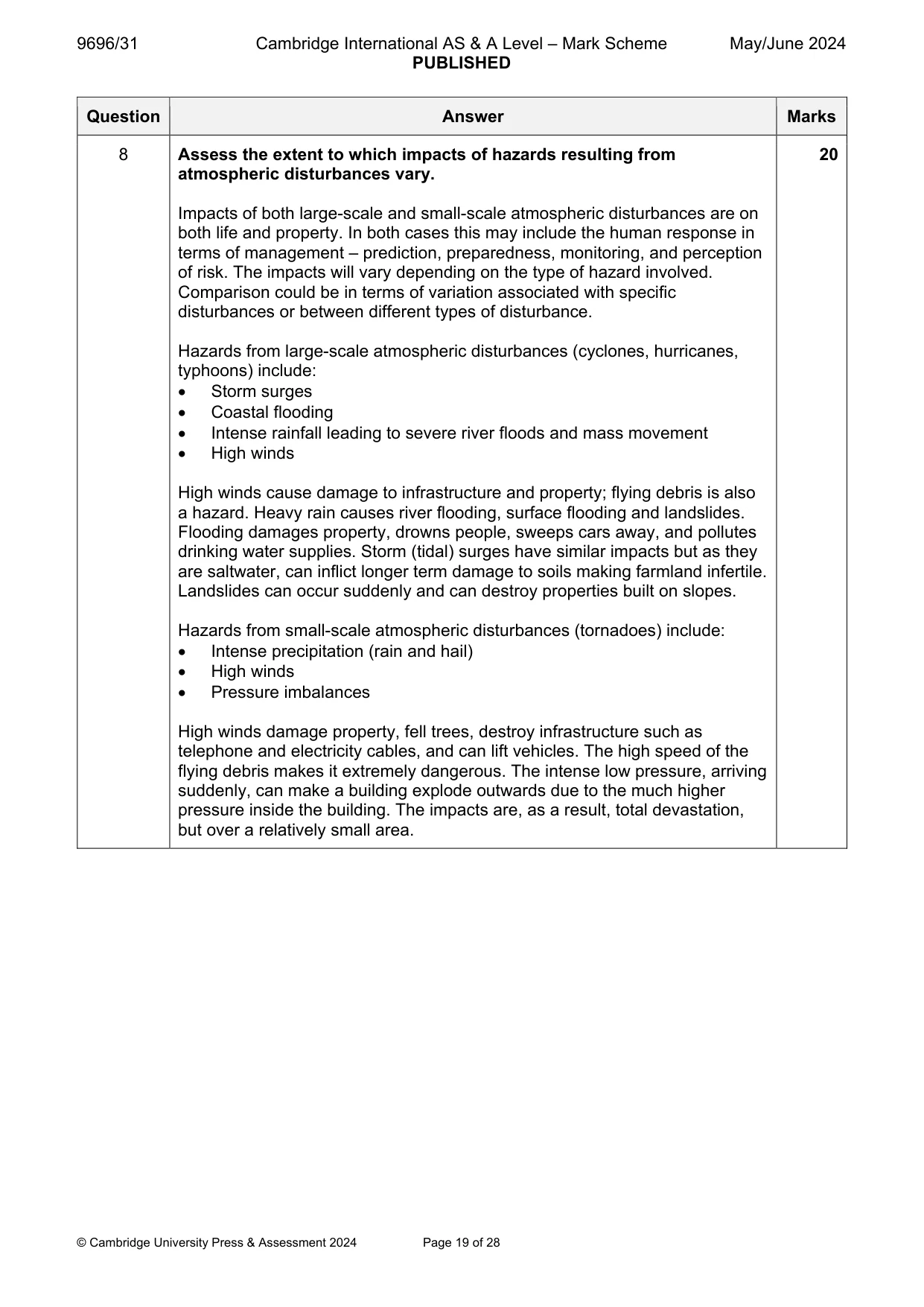
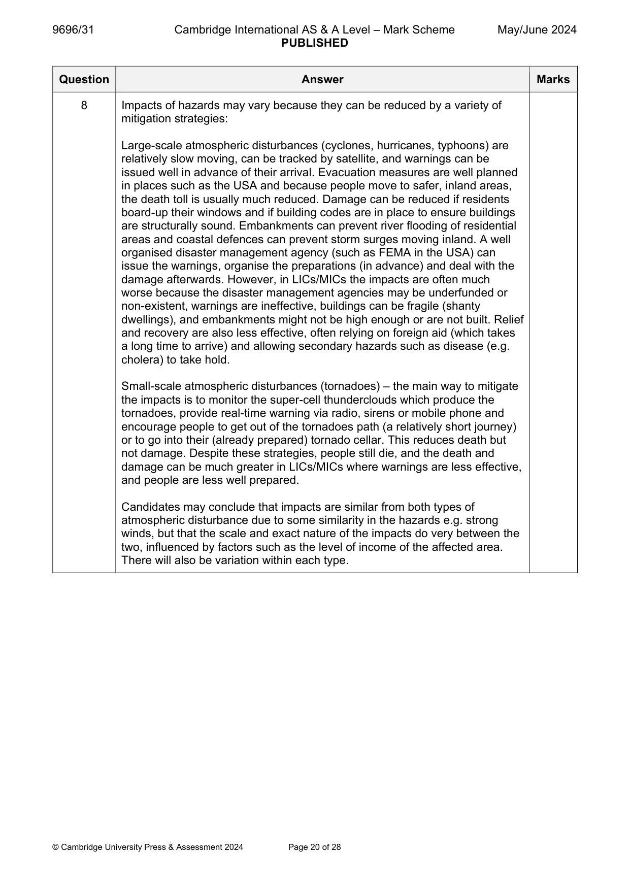
Mark scheme: 8 Assess the extent to which impacts of hazards resulting from 20 atmospheric disturbances vary. Impacts of both large-scale and small-scale atmospheric disturbances are on both life and property. In both cases this may include the human response in terms of management – prediction, preparedness, monitoring, and perception of risk. The impacts will vary depending on the type of hazard involved. Comparison could be in terms of variation associated with specific disturbances or between different types of disturbance. Hazards from large-scale atmospheric disturbances (cyclones, hurricanes, typhoons) include: Storm surges Coastal flooding Intense rainfall leading to severe river floods and mass movement High winds High winds cause damage to infrastructure and property; flying debris is also a hazard. Heavy rain causes river flooding, surface flooding and landslides. Flooding damages property, drowns people, sweeps cars away, and pollutes drinking water supplies. Storm (tidal) surges have similar impacts but as they are saltwater, can inflict longer term damage to soils making farmland infertile. Landslides can occur suddenly and can destroy properties built on slopes. Hazards from small-scale atmospheric disturbances (tornadoes) include: Intense precipitation (rain and hail) High winds Pressure imbalances High winds damage property, fell trees, destroy infrastructure such as telephone and electricity cables, and can lift vehicles. The high speed of the flying debris makes it extremely dangerous. The intense low pressure, arriving suddenly, can make a building explode outwards due to the much higher pressure inside the building. The impacts are, as a result, total devastation, but over a relatively small area. 8 Impacts of hazards may vary because they can be reduced by a variety of mitigation strategies: Large-scale atmospheric disturbances (cyclones, hurricanes, typhoons) are relatively slow moving, can be tracked by satellite, and warnings can be issued well in advance of their arrival. Evacuation measures are well planned in places such as the USA and because people move to safer, inland areas, the death toll is usually much reduced. Damage can be reduced if residents board-up their windows and if building codes are in place to ensure buildings are structurally sound. Embankments can prevent river flooding of residential areas and coastal defences can prevent storm surges moving inland. A well organised disaster management agency (such as FEMA in the USA) can issue the warnings, organise the preparations (in advance) and deal with the damage afterwards. However, in LICs/MICs the impacts are often much worse because the disaster management agencies may be underfunded or non-existent, warnings are ineffective, buildings can be fragile (shanty dwellings), and embankments might not be high enough or are not built. Relief and recovery are also less effective, often relying on foreign aid (which takes a long time to arrive) and allowing secondary hazards such as disease (e.g. cholera) to take hold. Small-scale atmospheric disturbances (tornadoes) – the main way to mitigate the impacts is to monitor the super-cell thunderclouds which produce the tornadoes, provide real-time warning via radio, sirens or mobile phone and encourage people to get out of the tornadoes path (a relatively short journey) or to go into their (already prepared) tornado cellar. This reduces death but not damage. Despite these strategies, people still die, and the death and damage can be much greater in LICs/MICs where warnings are less effective, and people are less well prepared. Candidates may conclude that impacts are similar from both types of atmospheric disturbance due to some similarity in the hazards e.g. strong winds, but that the scale and exact nature of the impacts do very between the two, influenced by factors such as the level of income of the affected area. There will also be variation within each type. 8 Award marks based on the quality of the response using the marking levels below. Level 4 (16–20) Response thoroughly discusses the extent to which impacts of hazards resulting from atmospheric disturbances vary. An effective and sustained evaluation with a sound conclusion. Response is well founded in detailed exemplar knowledge and strong conceptual understanding of the topic. Examples used are appropriate and integrated effectively into the response. Level 3 (11–15) Response discusses the extent to which impacts of hazards resulting from atmospheric disturbances vary. Response is broadly evaluative in character, comprising some explanatory or narrative content and a conclusion. Response develops on a largely secure base of knowledge and understanding with the use of example(s). Level 2 (6–10) Response demonstrates some knowledge and understanding of the extent to which impacts of hazards resulting from atmospheric disturbances vary. Response is mainly descriptive or explanatory in approach and contains a brief or thinly supported evaluation. Responses without the use of example(s) to support the response will not get above the middle of Level 2 (8 marks). Level 1 (1–5) Response makes a few general points about the extent to which impacts of hazards resulting from atmospheric disturbances vary. A descriptive response comprising a few simple points. Knowledge is basic and understanding may be poor and lack relevance to the question set. Level 0 (0) No creditable response.
Q9 · Using a case study, evaluate the problems of sustainable management of a hazardous…
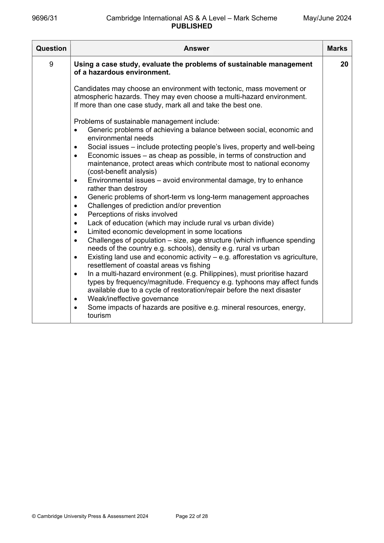
9 Using a case study, evaluate the problems of sustainable management of a hazardous environment. [20] Hot arid and semi-arid environments If answering this option, answer Question 10 and either Question 11 or Question 12.
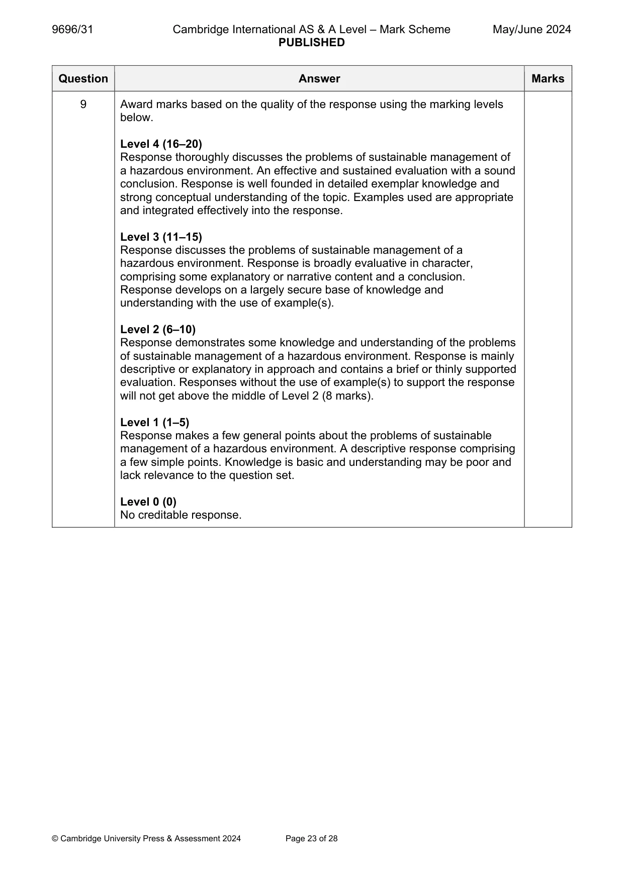
Mark scheme: 9 Using a case study, evaluate the problems of sustainable management 20 of a hazardous environment. Candidates may choose an environment with tectonic, mass movement or atmospheric hazards. They may even choose a multi-hazard environment. If more than one case study, mark all and take the best one. Problems of sustainable management include: Generic problems of achieving a balance between social, economic and environmental needs Social issues – include protecting people’s lives, property and well-being Economic issues – as cheap as possible, in terms of construction and maintenance, protect areas which contribute most to national economy (cost-benefit analysis) Environmental issues – avoid environmental damage, try to enhance rather than destroy Generic problems of short-term vs long-term management approaches Challenges of prediction and/or prevention Perceptions of risks involved Lack of education (which may include rural vs urban divide) Limited economic development in some locations Challenges of population – size, age structure (which influence spending needs of the country e.g. schools), density e.g. rural vs urban Existing land use and economic activity – e.g. afforestation vs agriculture, resettlement of coastal areas vs fishing In a multi-hazard environment (e.g. Philippines), must prioritise hazard types by frequency/magnitude. Frequency e.g. typhoons may affect funds available due to a cycle of restoration/repair before the next disaster Weak/ineffective governance Some impacts of hazards are positive e.g. mineral resources, energy, tourism 9 Award marks based on the quality of the response using the marking levels below. Level 4 (16–20) Response thoroughly discusses the problems of sustainable management of a hazardous environment. An effective and sustained evaluation with a sound conclusion. Response is well founded in detailed exemplar knowledge and strong conceptual understanding of the topic. Examples used are appropriate and integrated effectively into the response. Level 3 (11–15) Response discusses the problems of sustainable management of a hazardous environment. Response is broadly evaluative in character, comprising some explanatory or narrative content and a conclusion. Response develops on a largely secure base of knowledge and understanding with the use of example(s). Level 2 (6–10) Response demonstrates some knowledge and understanding of the problems of sustainable management of a hazardous environment. Response is mainly descriptive or explanatory in approach and contains a brief or thinly supported evaluation. Responses without the use of example(s) to support the response will not get above the middle of Level 2 (8 marks). Level 1 (1–5) Response makes a few general points about the problems of sustainable management of a hazardous environment. A descriptive response comprising a few simple points. Knowledge is basic and understanding may be poor and lack relevance to the question set. Level 0 (0) No creditable response. Hot arid and semi-arid environments If answering this option, answer Question 10 and either Question 11 or Question 12.
Q10 · A photograph which shows a hot arid landscape in Namibia
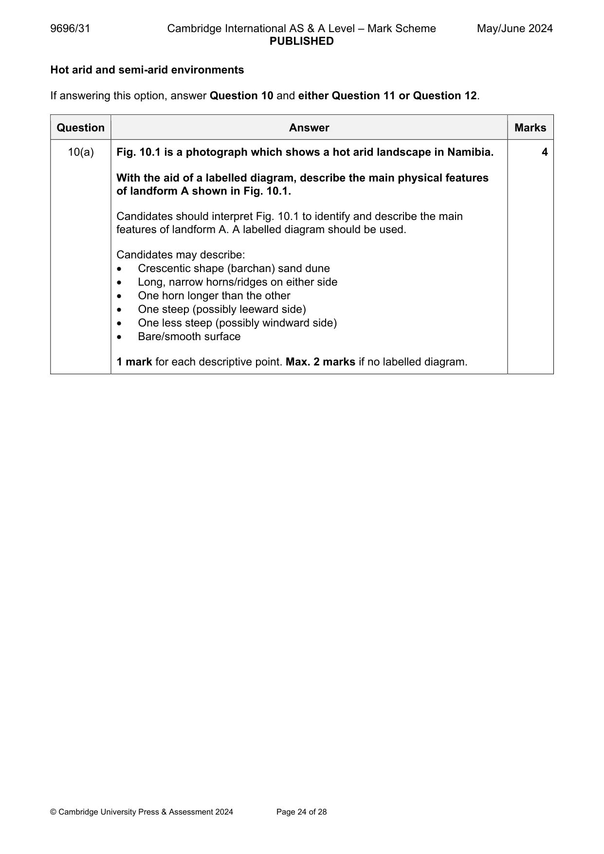
10 Fig. 10.1 is a photograph which shows a hot arid landscape in Namibia. (a) With the aid of a labelled diagram, describe the main physical features of landform A shown in Fig. 10.1. [4] (b) Explain the formation of landform A shown in Fig. 10.1. [6]
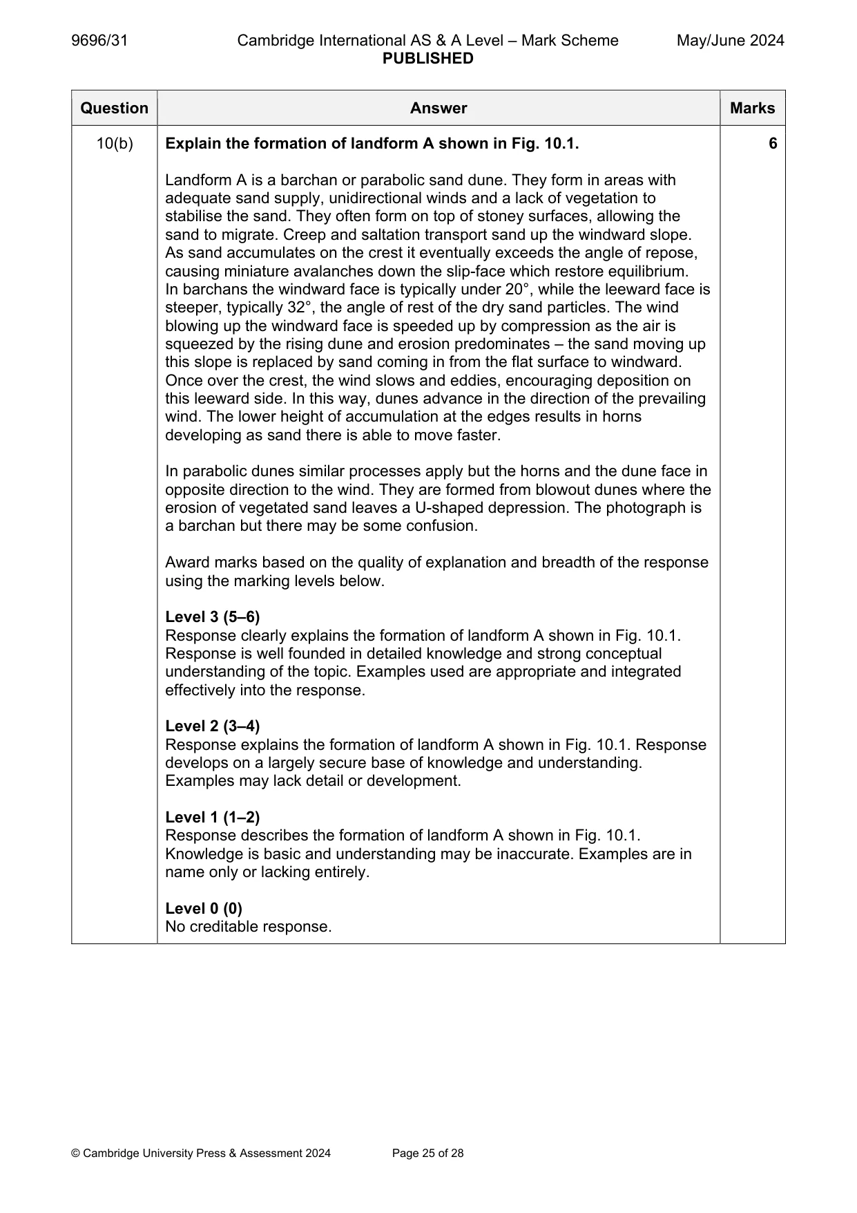
Mark scheme: 10(a) Fig. 10.1 is a photograph which shows a hot arid landscape in Namibia. 4 With the aid of a labelled diagram, describe the main physical features of landform A shown in Fig. 10.1. Candidates should interpret Fig. 10.1 to identify and describe the main features of landform A. A labelled diagram should be used. Candidates may describe: Crescentic shape (barchan) sand dune Long, narrow horns/ridges on either side One horn longer than the other One steep (possibly leeward side) One less steep (possibly windward side) Bare/smooth surface 1 mark for each descriptive point. Max. 2 marks if no labelled diagram. 10(b) Explain the formation of landform A shown in Fig. 10.1. 6 Landform A is a barchan or parabolic sand dune. They form in areas with adequate sand supply, unidirectional winds and a lack of vegetation to stabilise the sand. They often form on top of stoney surfaces, allowing the sand to migrate. Creep and saltation transport sand up the windward slope. As sand accumulates on the crest it eventually exceeds the angle of repose, causing miniature avalanches down the slip-face which restore equilibrium. In barchans the windward face is typically under 20°, while the leeward face is steeper, typically 32°, the angle of rest of the dry sand particles. The wind blowing up the windward face is speeded up by compression as the air is squeezed by the rising dune and erosion predominates – the sand moving up this slope is replaced by sand coming in from the flat surface to windward. Once over the crest, the wind slows and eddies, encouraging deposition on this leeward side. In this way, dunes advance in the direction of the prevailing wind. The lower height of accumulation at the edges results in horns developing as sand there is able to move faster. In parabolic dunes similar processes apply but the horns and the dune face in opposite direction to the wind. They are formed from blowout dunes where the erosion of vegetated sand leaves a U-shaped depression. The photograph is a barchan but there may be some confusion. Award marks based on the quality of explanation and breadth of the response using the marking levels below. Level 3 (5–6) Response clearly explains the formation of landform A shown in Fig. 10.1. Response is well founded in detailed knowledge and strong conceptual understanding of the topic. Examples used are appropriate and integrated effectively into the response. Level 2 (3–4) Response explains the formation of landform A shown in Fig. 10.1. Response develops on a largely secure base of knowledge and understanding. Examples may lack detail or development. Level 1 (1–2) Response describes the formation of landform A shown in Fig. 10.1. Knowledge is basic and understanding may be inaccurate. Examples are in name only or lacking entirely. Level 0 (0) No creditable response.
Q11 · Using a case study, evaluate the solutions to the problems of sustainable management in…
11 Using a case study, evaluate the solutions to the problems of sustainable management in either a hot arid or semi-arid environment. [20]
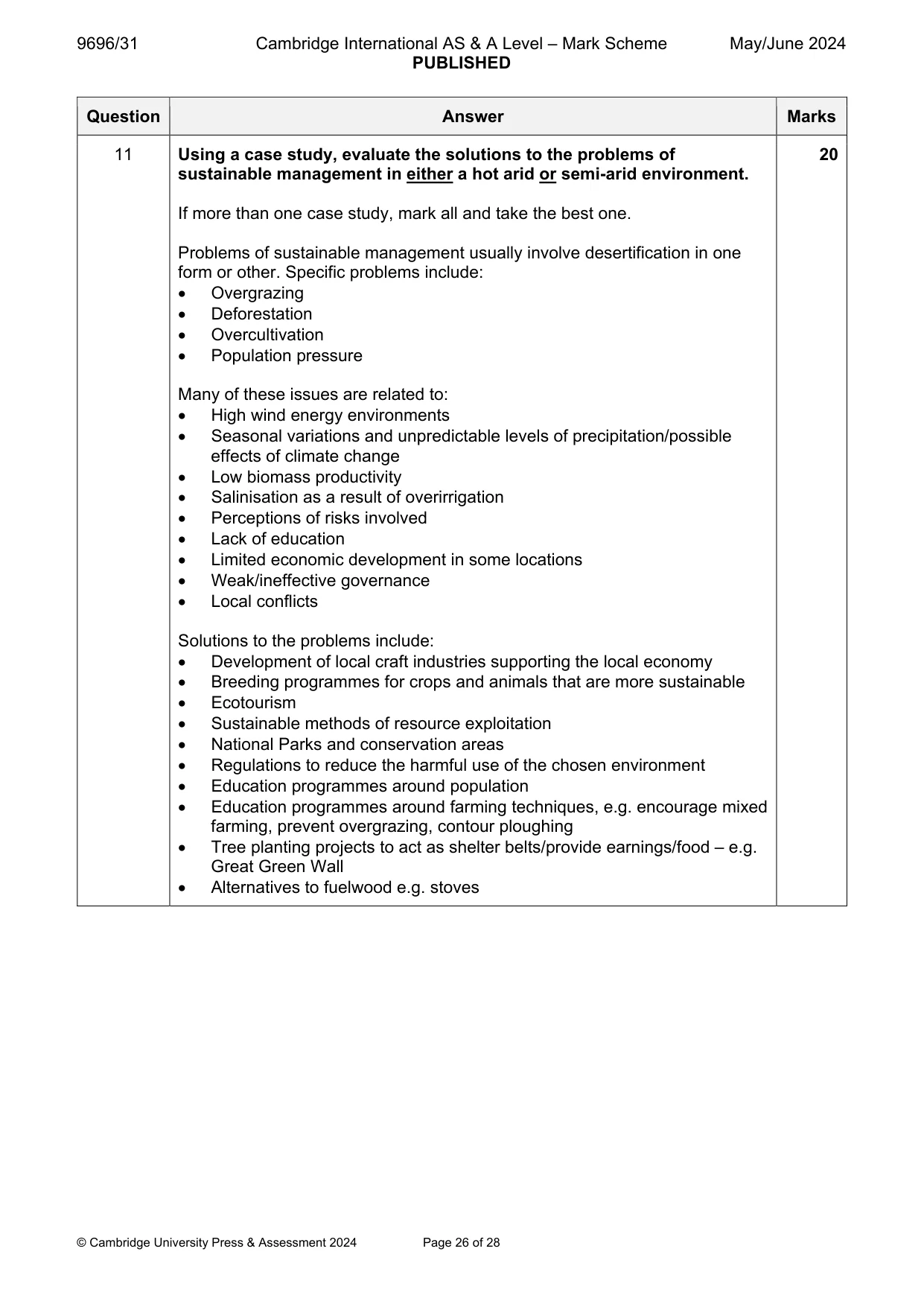
Mark scheme: 11 Using a case study, evaluate the solutions to the problems of 20 sustainable management in either a hot arid or semi-arid environment. If more than one case study, mark all and take the best one. Problems of sustainable management usually involve desertification in one form or other. Specific problems include: Overgrazing Deforestation Overcultivation Population pressure Many of these issues are related to: High wind energy environments Seasonal variations and unpredictable levels of precipitation/possible effects of climate change Low biomass productivity Salinisation as a result of overirrigation Perceptions of risks involved Lack of education Limited economic development in some locations Weak/ineffective governance Local conflicts Solutions to the problems include: Development of local craft industries supporting the local economy Breeding programmes for crops and animals that are more sustainable Ecotourism Sustainable methods of resource exploitation National Parks and conservation areas Regulations to reduce the harmful use of the chosen environment Education programmes around population Education programmes around farming techniques, e.g. encourage mixed farming, prevent overgrazing, contour ploughing Tree planting projects to act as shelter belts/provide earnings/food – e.g. Great Green Wall Alternatives to fuelwood e.g. stoves 11 Award marks based on the quality of the response using the marking levels below. Level 4 (16–20) Response thoroughly discusses the solutions to the problems of sustainable management in either a hot arid or semi-arid environment. An effective and sustained evaluation with a sound conclusion. Response is well founded in detailed exemplar knowledge and strong conceptual understanding of the topic. Examples used are appropriate and integrated effectively into the response. Level 3 (11–15) Response discusses the solutions to the problems of sustainable management in either a hot arid or semi-arid environment. Response is broadly evaluative in character, comprising some explanatory or narrative content and a conclusion. Response develops on a largely secure base of knowledge and understanding with the use of example(s). Level 2 (6–10) Response demonstrates some knowledge and understanding of the solutions to the problems of sustainable management in either a hot arid or semi-arid environment. Response is mainly descriptive or explanatory in approach and contains a brief or thinly supported evaluation. Responses without the use of example(s) to support the response will not get above the middle of Level 2 (8 marks). Level 1 (1–5) Response makes a few general points about the solutions to the problems of sustainable management in either a hot arid or semi-arid environment. A descriptive response comprising a few simple points. Knowledge is basic and understanding may be poor and lack relevance to the question set. Level 0 (0) No creditable response.
What was in this paper
The subtopics covered by these 11 questions, and how many questions each got. Open one in a new tab to see every Cambridge question on it.
1Coastal processes1Coral reefs1Hazards resulting from atmospheric disturbances1Hazards resulting from tectonic processes1Humid tropical (rainforest) ecosystems and seasonally humid tropical (savanna) ecosystems1Landforms of hot arid and semi-arid environments1Landforms of tropical environments1Sustainable management in hazardous environments1Sustainable management of hot arid and semi-arid environments1Tropical climates1What you needed in this session
Cambridge’s own grade thresholds for 2024 May/June, Paper 3 · Variant 1. A higher threshold means an easier paper — the bar moves with how the cohort did.