Cambridge A Level Geography 9696 — 2022 Oct/Nov Paper 3 · Variant 1
9696/31/O/N/22 · 11 questions · 60 marks · ≈68 min
The question paper and its mark scheme, free to read here and free to download. This is Cambridge’s own paper, exactly as it was sat.
Question paper4 pages
Mark scheme23 pages
Answers below. Sit the paper first if you are practising.







Questions as text
Q1 · The global distribution of oxisols/latosols
1 Fig. 1.1 shows the global distribution of oxisols/latosols. (a) Describe the distribution of oxisols/latosols shown in Fig. 1.1. [3] (b) Explain the formation of oxisols/latosols. [7]
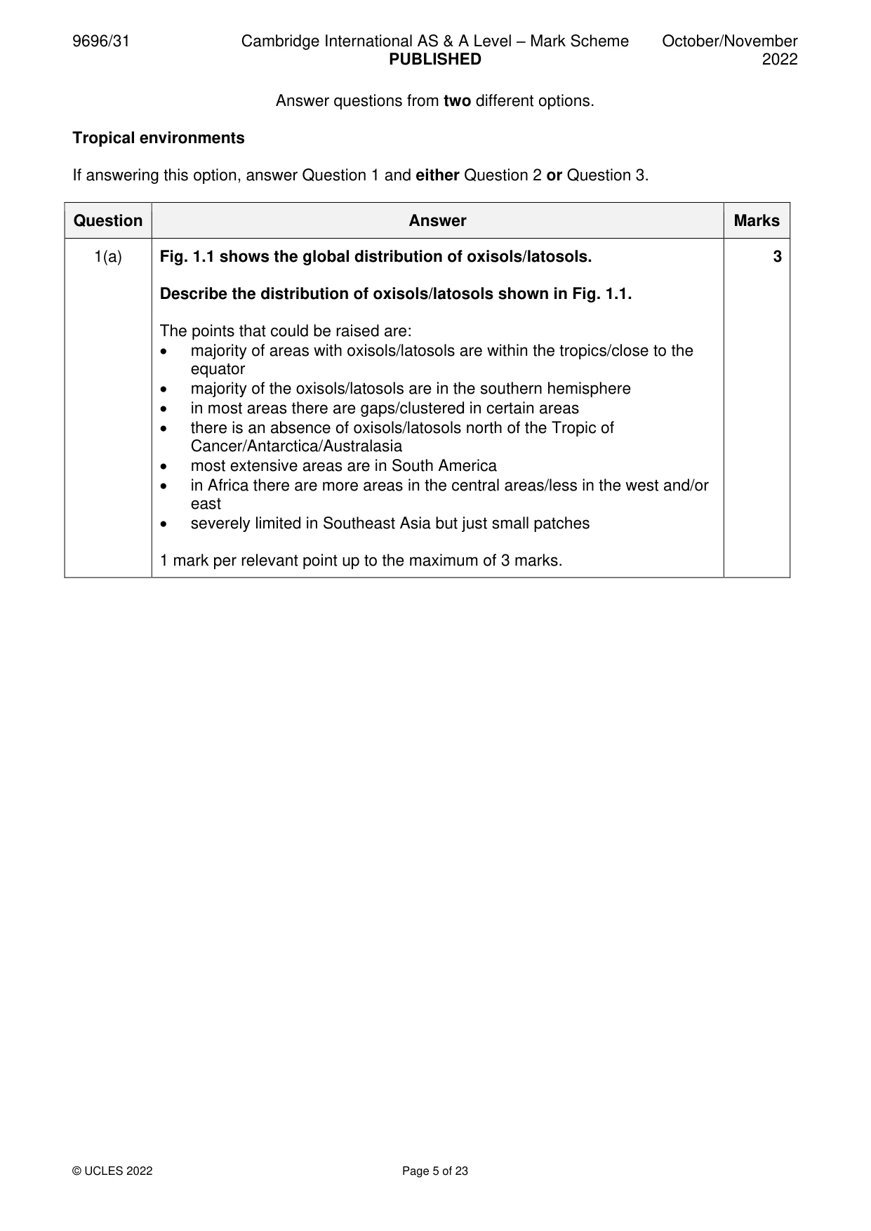
Mark scheme: Question Answer Marks 1(a) Fig. 1.1 shows the global distribution of oxisols/latosols. 3 Describe the distribution of oxisols/latosols shown in Fig. 1.1. The points that could be raised are: • majority of areas with oxisols/latosols are within the tropics/close to the equator • majority of the oxisols/latosols are in the southern hemisphere • in most areas there are gaps/clustered in certain areas • there is an absence of oxisols/latosols north of the Tropic of Cancer/Antarctica/Australasia • most extensive areas are in South America • in Africa there are more areas in the central areas/less in the west and/or east • severely limited in Southeast Asia but just small patches 1 mark per relevant point up to the maximum of 3 marks. 1(b) Explain the formation of oxisols/latosols. 7 Oxisols/latosols are the typical red soils of humid tropical climates. They are old, highly weathered and intensely leached soils. They are distinguished by layers in the B horizon in which iron and aluminium oxides are concentrated. Rapid decay of litter associated with the dense vegetation and hot humid conditions gives a plentiful supply of bases. Clay minerals break down rapidly and silica is carried into the lower levels. As noted, iron and aluminium are deposited in the B horizon, iron giving the soil its red colour. The nature of the soils and the effect of climate and vegetation need to be explored. Credit can be given for an accurate annotated diagram. Award marks based on the quality of explanation and breadth of the response using the marking levels below. Level 3 (6–7) Response clearly explains the formation of oxisols/latosols. Response is well founded in detailed knowledge and strong conceptual understanding of the topic. Examples used are appropriate and integrated effectively into the response. Level 2 (3–5) Response explains the formation of oxisols/latosols. Response develops on a largely secure base of knowledge and understanding. Examples may lack detail or development. Level 1 (1–2) Response describes the formation of oxisols/latosols. Knowledge is basic and understanding may be inaccurate. Examples are in name only or lacking entirely. Level 0 (0) No creditable response.
Q2 · Assess the extent to which the formation of granite landforms in tropical environments…
2 Assess the extent to which the formation of granite landforms in tropical environments has been influenced by climate. [20]
Mark scheme: 2 Assess the extent to which the formation of granite landforms in tropical 20 environments has been influenced by climate. Candidates are free to develop their own approach to the question and responses will vary depending on the example(s) chosen. Whichever approach is chosen, essays which address the question and support their argument with relevant examples will be credited. The direction of the response and evaluation made will depend on the approach chosen, and any evaluation is therefore valid if argued and based on evidence. Granite landforms include bornhardts, castle koppies, tors and perhaps inselbergs. Deep seated chemical weathering along joints and fractures, followed by stripping of the weathered material reveals the features. Once exposed, these features are attacked by a variety of physical and chemical weathering processes and surface erosion. Climate is obviously important for the efficiency of the chemical processes (heat and moisture) but other factors will form part of the assessment. Other factors include: • rock characteristics • erosion • relief • soil and vegetation cover Award marks based on the quality of the response using the marking levels below. Level 4 (16–20) Response thoroughly discusses the extent to which the formation of granite landforms in tropical environments has been influenced by climate. An effective and sustained evaluation with a sound conclusion. Response is well founded in detailed exemplar knowledge and strong conceptual understanding of the topic. Examples used are appropriate and integrated effectively into the response. Level 3 (11–15) Response discusses the extent to which the formation of granite landforms in tropical environments has been influenced by climate but may be unbalanced. Response is broadly evaluative in character, comprising some explanatory or narrative content and a conclusion. Response develops on a largely secure base of knowledge and understanding with the use of example(s). Level 2 (6–10) Response demonstrates some knowledge and understanding of the extent to which the formation of granite landforms in tropical environments has been influenced by climate. Response is mainly descriptive or explanatory in approach and contains a brief or thinly supported evaluation. Responses without the use of example(s) to support the response will not get above the middle of Level 2 (8 marks). 2 Level 1 (1–5) Response makes a few general points about the extent to which the formation of granite landforms in tropical environments has been influenced by climate. A descriptive response comprising a few simple points. Knowledge is basic and understanding may be poor and lack relevance to the question set. Level 0 (0) No creditable response.
Q3 · ‘There is little variation in the vegetation of seasonally humid tropical (savanna)…
3 ‘There is little variation in the vegetation of seasonally humid tropical (savanna) ecosystems.’ How far do you agree? [20] Coastal environments If answering this option, answer Question 4 and either Question 5 or Question 6.
Mark scheme: 3 ‘There is little variation in the vegetation of seasonally humid tropical 20 (savanna) ecosystems.’ How far do you agree? Candidates are free to develop their own approach to the question and responses will vary depending on the example(s) chosen. Whichever approach is chosen, essays which address the question and support their argument with relevant examples will be credited. The direction of the response and evaluation made will depend on the approach chosen, and any evaluation is therefore valid if argued and based on evidence. This question requires a coverage of all the area encompassed within seasonally humid tropical (savanna) environments. There needs to be a description of the vegetation and an assessment of its variability. The variation of the vegetation will be largely determined by the amount of precipitation which varies from the rainforest border to the semi-arid border as a result of the movement of the ITCZ, which also governs the length of the wet-dry seasons. The general consensus is that there is a transition from the rainforest fringe to the semi-arid border, through wooded savanna, park savanna, shrub savanna and thorn savanna. The level of knowledge and understanding of the vegetation detail will determine the level awarded. Better answers might suggest that the variation in vegetation has been altered by human activities. Variation in vegetation might also be related to topography and soils. Award marks based on the quality of the response using the marking levels below. Level 4 (16–20) Response thoroughly discusses the variation in the vegetation of seasonally humid tropical (savanna) ecosystems. An effective and sustained evaluation with a sound conclusion. Response is well founded in detailed exemplar knowledge and strong conceptual understanding of the topic. Examples used are appropriate and integrated effectively into the response. Level 3 (11–15) Response discusses the variation in the vegetation of seasonally humid tropical (savanna) ecosystems but may be unbalanced. Response is broadly evaluative in character, comprising some explanatory or narrative content and a conclusion. Response develops on a largely secure base of knowledge and understanding with the use of example(s). Level 2 (6–10) Response demonstrates some knowledge and understanding of the variation in the vegetation of seasonally humid tropical (savanna) ecosystems. Response is mainly descriptive or explanatory in approach and contains a brief or thinly supported evaluation. Responses without the use of example(s) to support the response will not get above the middle of Level 2 (8 marks). Level 1 (1–5) Response makes a few general points about the variation in the vegetation of seasonally humid tropical (savanna) ecosystems. A descriptive response comprising a few simple points. Knowledge is basic and understanding may be poor and lack relevance to the question set. 3 Level 0 (0) No creditable response. Coastal environments If answering this option, answer Question 4 and either Question 5 or Question 6.
Q4 · The loss of coral cover along the Great Barrier Reef, Australia, 2016
4 Fig. 4.1 shows the loss of coral cover along the Great Barrier Reef, Australia, 2016. (a) Describe the pattern of coral cover loss shown in Fig. 4.1. [4] (b) Explain two factors that account for loss of coral cover on reefs. [6]
Mark scheme: 4(a) Fig. 4.1 shows the loss of coral cover along the Great Barrier Reef, 4 Australia, 2016. Describe the pattern of coral cover loss shown in Fig. 4.1. The main points are: • there is a great variation of coral loss along the reef • the areas of greater loss are to the north/areas of least loss are to the south • there is a general gradation of increasing loss from south to north • there is a clustering of similar magnitudes in several areas • the areas with the greatest loss (76–100%) are north of Cooktown • the areas with the least loss (0–25%) are south of Port Douglas • areas of intermediate loss (26–75%) occur between Townsville and to the north of Cooktown 1 mark for each relevant point up to the maximum of 4 marks. 4(b) Explain two factors that account for loss of coral cover on reefs. 6 There are a number of factors that could be discussed, both natural processes and consequences of human activity. Global warming might be treated as a single factor but, in reality, it encompasses rise of sea temperatures, rising sea level and acidification. Human activity could include local pollution and tourist activities. Storm damage might also be relevant. This is a generic question but answers might use the resource as a stimulus. Award marks based on the quality of explanation and breadth of the response using the marking levels below. Level 3 (5–6) Response clearly explains two factors that account for loss of coral cover on reefs. Response is well founded in detailed knowledge and strong conceptual understanding of the topic. Examples used are appropriate and integrated effectively into the response. Level 2 (3–4) Response explains two factors that account for loss of coral cover on reefs. Response develops on a largely secure base of knowledge and understanding. Examples may lack detail or development. Level 1 (1–2) Response describes two factors that account for loss of coral cover on reefs. Knowledge is basic and understanding may be inaccurate. Examples are in name only or lacking entirely. Level 0 (0) No creditable response.
Q5 · ‘An understanding of the operation of coastal sediment cells is essential for sustainable…
5 ‘An understanding of the operation of coastal sediment cells is essential for sustainable management of coastlines.’ How far do you agree? [20]
Mark scheme: 5 ‘An understanding of the operation of coastal sediment cells is essential 20 for sustainable management of coastlines.’ How far do you agree? Candidates are free to develop their own approach to the question and responses will vary depending on the example(s) chosen. Whichever approach is chosen, essays which address the question and support their argument with relevant examples will be credited. The direction of the response and evaluation made will depend on the approach chosen, and any evaluation is therefore valid if argued and based on evidence. All coasts that require management will exist within sediment cells. A coastal sediment cell is essentially a closed system within which sediment is moved from one location to another. It emphasises that processes in specific coastal zones do not act independently, thus what happens at one locality will affect other areas within the cell. There can be no effective management if areas are treated independently. There are many examples where coastal management at one location has had serious consequences at other locations within the sediment cell. This recognition will form the basis of the answer. Award marks based on the quality of the response using the marking levels below. Level 4 (16–20) Response thoroughly discusses how an understanding of the operation of coastal sediment cells is essential for sustainable management of coastlines. An effective and sustained evaluation with a sound conclusion. Response is well founded in detailed exemplar knowledge and strong conceptual understanding of the topic. Examples used are appropriate and integrated effectively into the response. Level 3 (11–15) Response discusses how an understanding of the operation of coastal sediment cells is essential for sustainable management of coastlines but may be unbalanced. Response is broadly evaluative in character, comprising some explanatory or narrative content and a conclusion. Response develops on a largely secure base of knowledge and understanding with the use of example(s). Level 2 (6–10) Response demonstrates some knowledge and understanding of how an understanding of the operation of coastal sediment cells is essential for sustainable management of coastlines. Response is mainly descriptive or explanatory in approach and contains a brief or thinly supported evaluation. Responses without the use of example(s) to support the response will not get above the middle of Level 2 (8 marks). Level 1 (1–5) Response makes a few general points about the operation of coastal sediment cells and whether they are essential for sustainable management of coastlines. A descriptive response comprising a few simple points. Knowledge is basic and understanding may be poor and lack relevance to the question set. 5 Level 0 (0) No creditable response.
Q6 · Hazardous environments If answering this option, answer Question 7 and either Question 8…
Hazardous environments If answering this option, answer Question 7 and either Question 8 or Question 9.
Mark scheme: 6 Evaluate the role of sub-aerial processes in the development of coastal 20 cliffs and wave-cut platforms. Candidates are free to develop their own approach to the question and responses will vary depending on the example(s) chosen. Whichever approach is chosen, essays which address the question and support their argument with relevant examples will be credited. The direction of the response and evaluation made will depend on the approach chosen, and any evaluation is therefore valid if argued and based on evidence. The development of cliffs and wave-cut platforms needs to be examined. The main processes involved in their development are sub-aerial and marine processes. Thus, the evaluation will be based on the importance of sub-aerial processes (weathering and mass movement) compared with marine processes. The importance of rock type and structure may form part of the answer. Thus, if the rock is not susceptible to sub-aerial processes, then the role of such processes is reduced. Human activity could also be discussed. Award marks based on the quality of the response using the marking levels below. Level 4 (16–20) Response thoroughly discusses the role of sub-aerial processes in the development of coastal cliffs and wave-cut platforms. An effective and sustained evaluation with a sound conclusion. Response is well founded in detailed exemplar knowledge and strong conceptual understanding of the topic. Examples used are appropriate and integrated effectively into the response. Level 3 (11–15) Response discusses the role of sub-aerial processes in the development of coastal cliffs and wave-cut platforms but may be unbalanced. Response is broadly evaluative in character, comprising some explanatory or narrative content and a conclusion. Response develops on a largely secure base of knowledge and understanding with the use of example(s). Level 2 (6–10) Response demonstrates some knowledge and understanding of the role of sub-aerial processes in the development of coastal cliffs and wave-cut platforms. Response is mainly descriptive or explanatory in approach and contains a brief or thinly supported evaluation. Responses without the use of example(s) to support the response will not get above the middle of Level 2 (8 marks). Level 1 (1–5) Response makes a few general points about the role of sub-aerial processes in the development of coastal cliffs and wave-cut platforms. A descriptive response comprising a few simple points. Knowledge is basic and understanding may be poor and lack relevance to the question set. Level 0 (0) No creditable response. Hazardous environments If answering this option, answer Question 7 and either Question 8 or Question 9.
Q7 · A landslide potential map of mainland USA
7 Fig. 7.1 shows a landslide potential map of mainland USA. (a) Describe the distribution of landslide potential shown in Fig. 7.1. [4] (b) Explain why some areas are more prone to landslides than others. [6]
Mark scheme: 7(a) Fig. 7.1 shows a landslide potential map of mainland USA. 4 Describe the distribution of landslide potential shown in Fig. 7.1. The main points that could be mentioned are: • there is widespread/dispersed/scattered potential for landslides in the USA • there is an uneven/patchy distribution of landslide potential in the USA • there are distinct linear arrangements in the country, e.g. west coast • areas of low landslide potential cover the greatest area overall • areas of very high potential are greatest in the north-east of the USA • the high potential is more widely represented in the centre/west of the USA • the moderate potential is more widely represented in the centre/east of the USA • areas of low potential are mainly located along the east coast/south/centre of the USA Four relevant points for 4 marks. 7(b) Explain why some areas are more prone to landslides than others. 6 The answer will be based on an understanding of the factors than can lead to landslides. These factors will generally be a combination of external processes (weathering, precipitation, undercutting, earthquake shaking, etc.) in combination with the characteristics of the slope material and topography (slope angle, etc.). This combination will determine landslide susceptibility. Discussion of human activity is also relevant. Award marks based on the quality of explanation and breadth of the response using the marking levels below. Level 3 (5–6) Response clearly explains why some areas are more prone to landslides than others. Response is well founded in detailed knowledge and strong conceptual understanding of the topic. Examples used are appropriate and integrated effectively into the response. Level 2 (3–4) Response explains why some areas are more prone to landslides than others. Response develops on a largely secure base of knowledge and understanding. Examples may lack detail or development. Level 1 (1–2) Response describes how some areas are more prone to landslides than others. Knowledge is basic and understanding may be inaccurate. Examples are in name only or lacking entirely. Level 0 (0) No creditable response.
Q8 · Assess the extent to which high rainfall is the most significant hazard resulting from…
8 Assess the extent to which high rainfall is the most significant hazard resulting from atmospheric disturbances. [20]
Mark scheme: 8 Assess the extent to which high rainfall is the most significant hazard 20 resulting from atmospheric disturbances. Candidates are free to develop their own approach to the question and responses will vary depending on the example(s) chosen. Whichever approach is chosen, essays which address the question and support their argument with relevant examples will be credited. The direction of the response and evaluation made will depend on the approach chosen, and any evaluation is therefore valid if argued and based on evidence. Both large-scale tropical disturbances (cyclones, hurricanes, typhoons) and small-scale atmospheric disturbances (tornadoes) need to be considered. High rainfall is associated with both types of disturbances, but large-scale disturbances involve storm surges (probably the most significant hazard) and high winds. Tornadoes are characterised by high winds as well as rainfall and also devastation by pressure differences. The significance of rainfall will need to be assessed in relation to these other hazards. Award marks based on the quality of the response using the marking levels below. Level 4 (16–20) Response thoroughly discusses the extent to which high rainfall is the most significant hazard resulting from atmospheric disturbances. An effective and sustained evaluation with a sound conclusion. Response is well founded in detailed exemplar knowledge and strong conceptual understanding of the topic. Examples used are appropriate and integrated effectively into the response. Level 3 (11–15) Response discusses the extent to which high rainfall is the most significant hazard resulting from atmospheric disturbances but may be unbalanced. Response is broadly evaluative in character, comprising some explanatory or narrative content and a conclusion. Response develops on a largely secure base of knowledge and understanding with the use of example(s). Level 2 (6–10) Response demonstrates some knowledge and understanding of the extent to which high rainfall is the most significant hazard resulting from atmospheric disturbances. Response is mainly descriptive or explanatory in approach and contains a brief or thinly supported evaluation. Responses without the use of example(s) to support the response will not get above the middle of Level 2 (8 marks). Level 1 (1–5) Response makes a few general points about the extent to which high rainfall is the most significant hazard resulting from atmospheric disturbances. A descriptive response comprising a few simple points. Knowledge is basic and understanding may be poor and lack relevance to the question set. Level 0 (0) No creditable response.
Q9 · ‘It is more difficult to produce a hazard map of earthquakes than it is for volcanic…
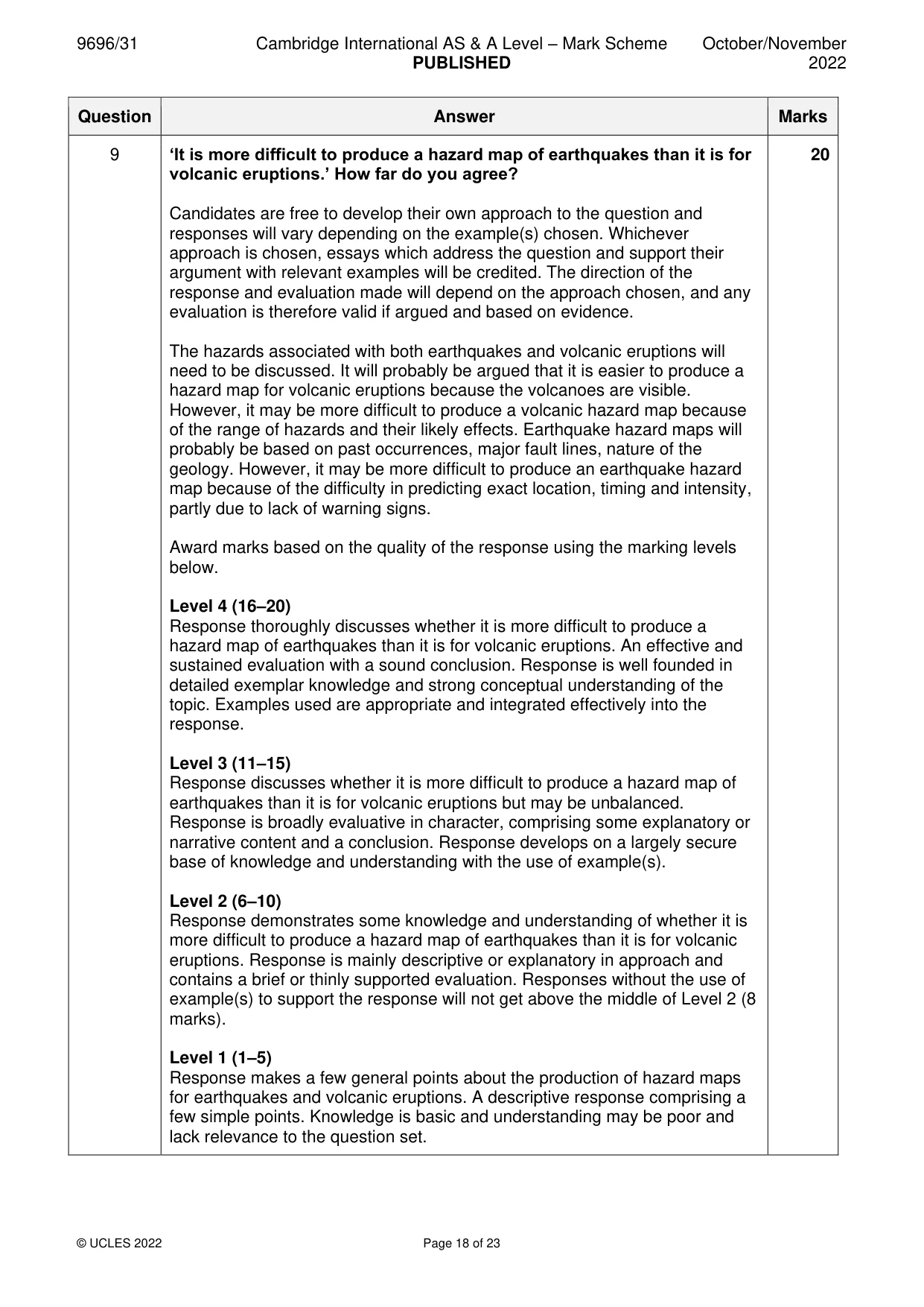
9 ‘It is more difficult to produce a hazard map of earthquakes than it is for volcanic eruptions.’ How far do you agree? [20] Hot arid and semi-arid environments If answering this option, answer Question 10 and either Question 11 or Question 12.
Mark scheme: 9 ‘It is more difficult to produce a hazard map of earthquakes than it is for 20 volcanic eruptions.’ How far do you agree? Candidates are free to develop their own approach to the question and responses will vary depending on the example(s) chosen. Whichever approach is chosen, essays which address the question and support their argument with relevant examples will be credited. The direction of the response and evaluation made will depend on the approach chosen, and any evaluation is therefore valid if argued and based on evidence. The hazards associated with both earthquakes and volcanic eruptions will need to be discussed. It will probably be argued that it is easier to produce a hazard map for volcanic eruptions because the volcanoes are visible. However, it may be more difficult to produce a volcanic hazard map because of the range of hazards and their likely effects. Earthquake hazard maps will probably be based on past occurrences, major fault lines, nature of the geology. However, it may be more difficult to produce an earthquake hazard map because of the difficulty in predicting exact location, timing and intensity, partly due to lack of warning signs. Award marks based on the quality of the response using the marking levels below. Level 4 (16–20) Response thoroughly discusses whether it is more difficult to produce a hazard map of earthquakes than it is for volcanic eruptions. An effective and sustained evaluation with a sound conclusion. Response is well founded in detailed exemplar knowledge and strong conceptual understanding of the topic. Examples used are appropriate and integrated effectively into the response. Level 3 (11–15) Response discusses whether it is more difficult to produce a hazard map of earthquakes than it is for volcanic eruptions but may be unbalanced. Response is broadly evaluative in character, comprising some explanatory or narrative content and a conclusion. Response develops on a largely secure base of knowledge and understanding with the use of example(s). Level 2 (6–10) Response demonstrates some knowledge and understanding of whether it is more difficult to produce a hazard map of earthquakes than it is for volcanic eruptions. Response is mainly descriptive or explanatory in approach and contains a brief or thinly supported evaluation. Responses without the use of example(s) to support the response will not get above the middle of Level 2 (8 marks). Level 1 (1–5) Response makes a few general points about the production of hazard maps for earthquakes and volcanic eruptions. A descriptive response comprising a few simple points. Knowledge is basic and understanding may be poor and lack relevance to the question set. 9 Level 0 (0) No creditable response. Hot arid and semi-arid environments If answering this option, answer Question 10 and either Question 11 or Question 12.
Q10 · A photograph which shows a hot arid landscape in Erg Chigaga, Morocco
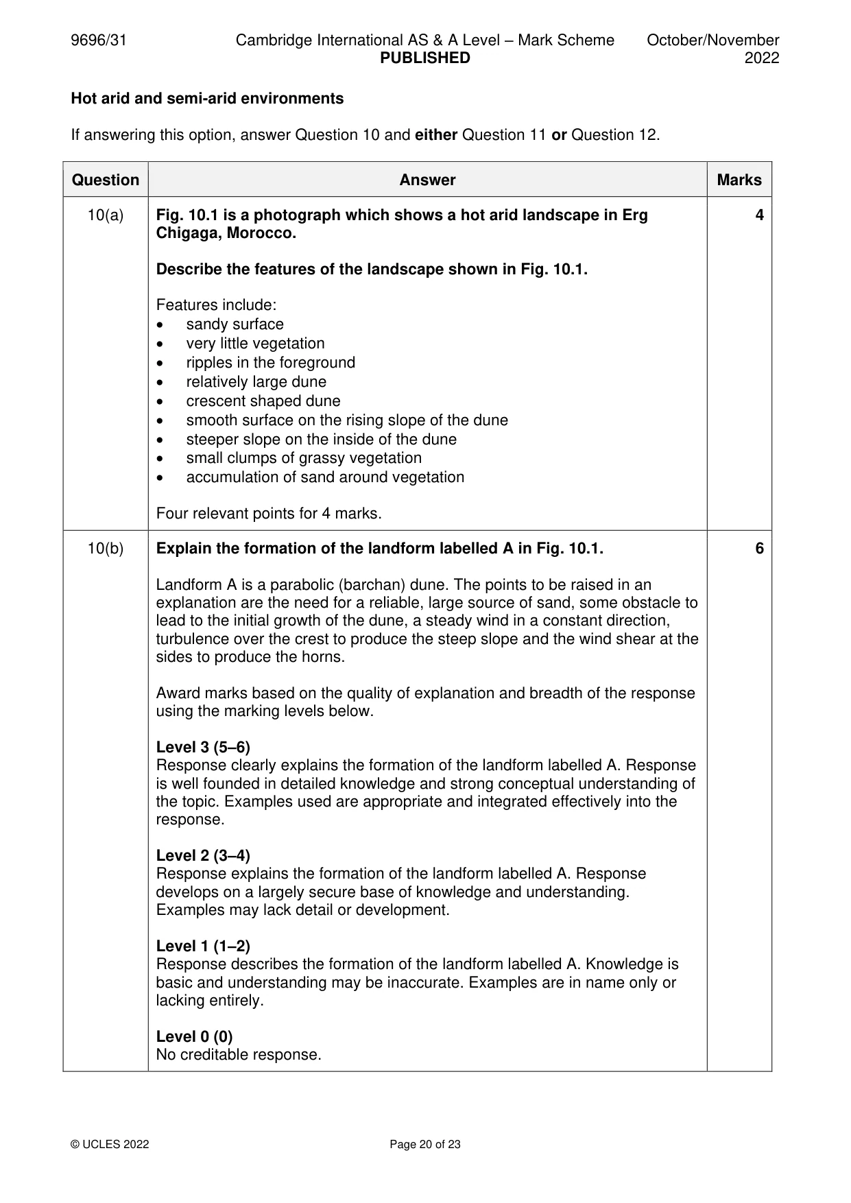
10 Fig. 10.1 is a photograph which shows a hot arid landscape in Erg Chigaga, Morocco. (a) Describe the features of the landscape shown in Fig. 10.1. [4] (b) Explain the formation of the landform labelled A in Fig. 10.1. [6]
Mark scheme: 10(a) Fig. 10.1 is a photograph which shows a hot arid landscape in Erg 4 Chigaga, Morocco. Describe the features of the landscape shown in Fig. 10.1. Features include: • sandy surface • very little vegetation • ripples in the foreground • relatively large dune • crescent shaped dune • smooth surface on the rising slope of the dune • steeper slope on the inside of the dune • small clumps of grassy vegetation • accumulation of sand around vegetation Four relevant points for 4 marks. 10(b) Explain the formation of the landform labelled A in Fig. 10.1. 6 Landform A is a parabolic (barchan) dune. The points to be raised in an explanation are the need for a reliable, large source of sand, some obstacle to lead to the initial growth of the dune, a steady wind in a constant direction, turbulence over the crest to produce the steep slope and the wind shear at the sides to produce the horns. Award marks based on the quality of explanation and breadth of the response using the marking levels below. Level 3 (5–6) Response clearly explains the formation of the landform labelled A. Response is well founded in detailed knowledge and strong conceptual understanding of the topic. Examples used are appropriate and integrated effectively into the response. Level 2 (3–4) Response explains the formation of the landform labelled A. Response develops on a largely secure base of knowledge and understanding. Examples may lack detail or development. Level 1 (1–2) Response describes the formation of the landform labelled A. Knowledge is basic and understanding may be inaccurate. Examples are in name only or lacking entirely. Level 0 (0) No creditable response.
Q11 · ‘Water processes are the most important processes in the development of landforms in hot…
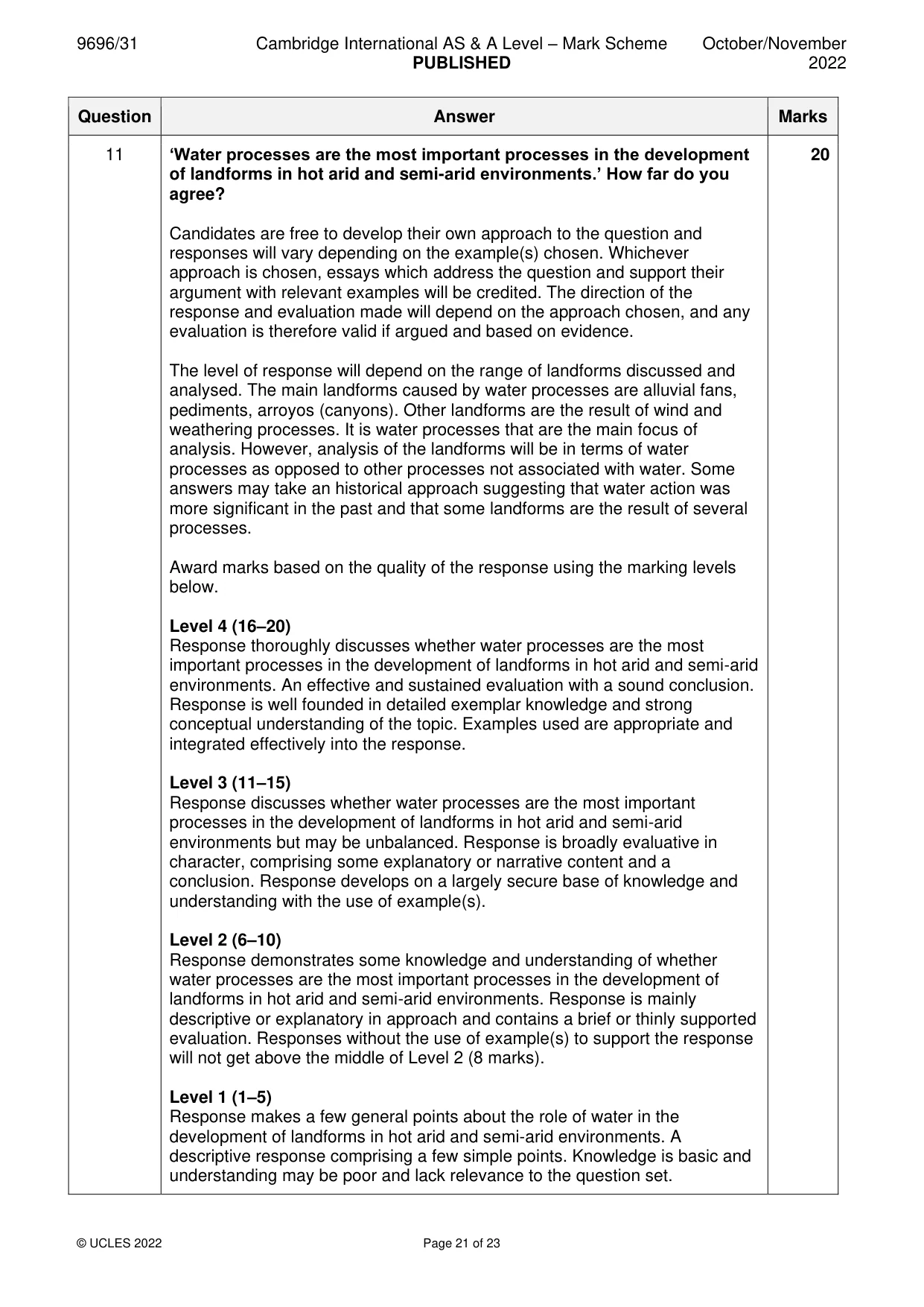
11 ‘Water processes are the most important processes in the development of landforms in hot arid and semi-arid environments.’ How far do you agree? [20]
Mark scheme: 11 ‘Water processes are the most important processes in the development 20 of landforms in hot arid and semi-arid environments.’ How far do you agree? Candidates are free to develop their own approach to the question and responses will vary depending on the example(s) chosen. Whichever approach is chosen, essays which address the question and support their argument with relevant examples will be credited. The direction of the response and evaluation made will depend on the approach chosen, and any evaluation is therefore valid if argued and based on evidence. The level of response will depend on the range of landforms discussed and analysed. The main landforms caused by water processes are alluvial fans, pediments, arroyos (canyons). Other landforms are the result of wind and weathering processes. It is water processes that are the main focus of analysis. However, analysis of the landforms will be in terms of water processes as opposed to other processes not associated with water. Some answers may take an historical approach suggesting that water action was more significant in the past and that some landforms are the result of several processes. Award marks based on the quality of the response using the marking levels below. Level 4 (16–20) Response thoroughly discusses whether water processes are the most important processes in the development of landforms in hot arid and semi-arid environments. An effective and sustained evaluation with a sound conclusion. Response is well founded in detailed exemplar knowledge and strong conceptual understanding of the topic. Examples used are appropriate and integrated effectively into the response. Level 3 (11–15) Response discusses whether water processes are the most important processes in the development of landforms in hot arid and semi-arid environments but may be unbalanced. Response is broadly evaluative in character, comprising some explanatory or narrative content and a conclusion. Response develops on a largely secure base of knowledge and understanding with the use of example(s). Level 2 (6–10) Response demonstrates some knowledge and understanding of whether water processes are the most important processes in the development of landforms in hot arid and semi-arid environments. Response is mainly descriptive or explanatory in approach and contains a brief or thinly supported evaluation. Responses without the use of example(s) to support the response will not get above the middle of Level 2 (8 marks). Level 1 (1–5) Response makes a few general points about the role of water in the development of landforms in hot arid and semi-arid environments. A descriptive response comprising a few simple points. Knowledge is basic and understanding may be poor and lack relevance to the question set. 11 Level 0 (0) No creditable response.
What was in this paper
The subtopics covered by these 11 questions, and how many questions each got. Open one in a new tab to see every Cambridge question on it.
2Landforms of hot arid and semi-arid environments2Coral reefs1Hazards resulting from atmospheric disturbances1Hazards resulting from mass movements1Hazards resulting from tectonic processes1Landforms of tropical environments1Sustainable management in hazardous environments1Sustainable management of coasts1What you needed in this session
Cambridge’s own grade thresholds for 2022 Oct/Nov, Paper 3 · Variant 1. A higher threshold means an easier paper — the bar moves with how the cohort did.