Cambridge A Level Geography 9696 — 2023 Oct/Nov Paper 3 · Variant 1
9696/31/O/N/23 · 12 questions · 60 marks · ≈68 min
The question paper and its mark scheme, free to read here and free to download. This is Cambridge’s own paper, exactly as it was sat.
Question paper4 pages

Mark scheme22 pages
Answers below. Sit the paper first if you are practising.


Questions as text
Q1 · A photograph which shows the vegetation of a humid tropical (rainforest) ecosystem
1 Fig. 1.1 is a photograph which shows the vegetation of a humid tropical (rainforest) ecosystem. (a) Describe the main characteristics of the vegetation shown in Fig. 1.1. [4] (b) Explain two of the characteristics of the vegetation you described in (a). [6]
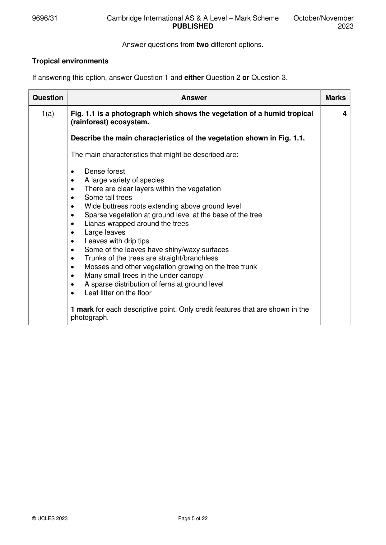
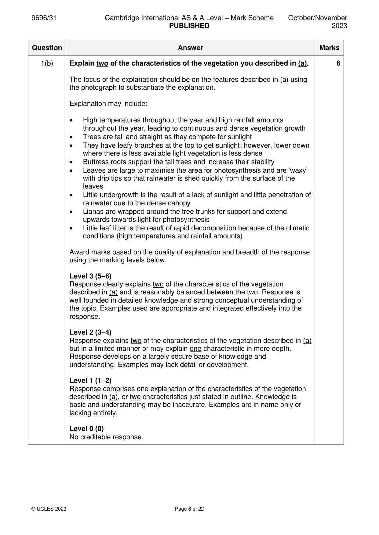
Mark scheme: Question Answer Marks 1(a) Fig. 1.1 is a photograph which shows the vegetation of a humid tropical 4 (rainforest) ecosystem. Describe the main characteristics of the vegetation shown in Fig. 1.1. The main characteristics that might be described are: • Dense forest • A large variety of species • There are clear layers within the vegetation • Some tall trees • Wide buttress roots extending above ground level • Sparse vegetation at ground level at the base of the tree • Lianas wrapped around the trees • Large leaves • Leaves with drip tips • Some of the leaves have shiny/waxy surfaces • Trunks of the trees are straight/branchless • Mosses and other vegetation growing on the tree trunk • Many small trees in the under canopy • A sparse distribution of ferns at ground level • Leaf litter on the floor 1 mark for each descriptive point. Only credit features that are shown in the photograph. 1(b) Explain two of the characteristics of the vegetation you described in (a). 6 The focus of the explanation should be on the features described in (a) using the photograph to substantiate the explanation. Explanation may include: • High temperatures throughout the year and high rainfall amounts throughout the year, leading to continuous and dense vegetation growth • Trees are tall and straight as they compete for sunlight • They have leafy branches at the top to get sunlight; however, lower down where there is less available light vegetation is less dense • Buttress roots support the tall trees and increase their stability • Leaves are large to maximise the area for photosynthesis and are ‘waxy’ with drip tips so that rainwater is shed quickly from the surface of the leaves • Little undergrowth is the result of a lack of sunlight and little penetration of rainwater due to the dense canopy • Lianas are wrapped around the tree trunks for support and extend upwards towards light for photosynthesis • Little leaf litter is the result of rapid decomposition because of the climatic conditions (high temperatures and rainfall amounts) Award marks based on the quality of explanation and breadth of the response using the marking levels below. Level 3 (5–6) Response clearly explains two of the characteristics of the vegetation described in (a) and is reasonably balanced between the two. Response is well founded in detailed knowledge and strong conceptual understanding of the topic. Examples used are appropriate and integrated effectively into the response. Level 2 (3–4) Response explains two of the characteristics of the vegetation described in (a) but in a limited manner or may explain one characteristic in more depth. Response develops on a largely secure base of knowledge and understanding. Examples may lack detail or development. Level 1 (1–2) Response comprises one explanation of the characteristics of the vegetation described in (a), or two characteristics just stated in outline. Knowledge is basic and understanding may be inaccurate. Examples are in name only or lacking entirely. Level 0 (0) No creditable response.
Q2 · Evaluate the role of deep weathering in the development of characteristic granite…
2 Evaluate the role of deep weathering in the development of characteristic granite landforms of tropical environments. [20]
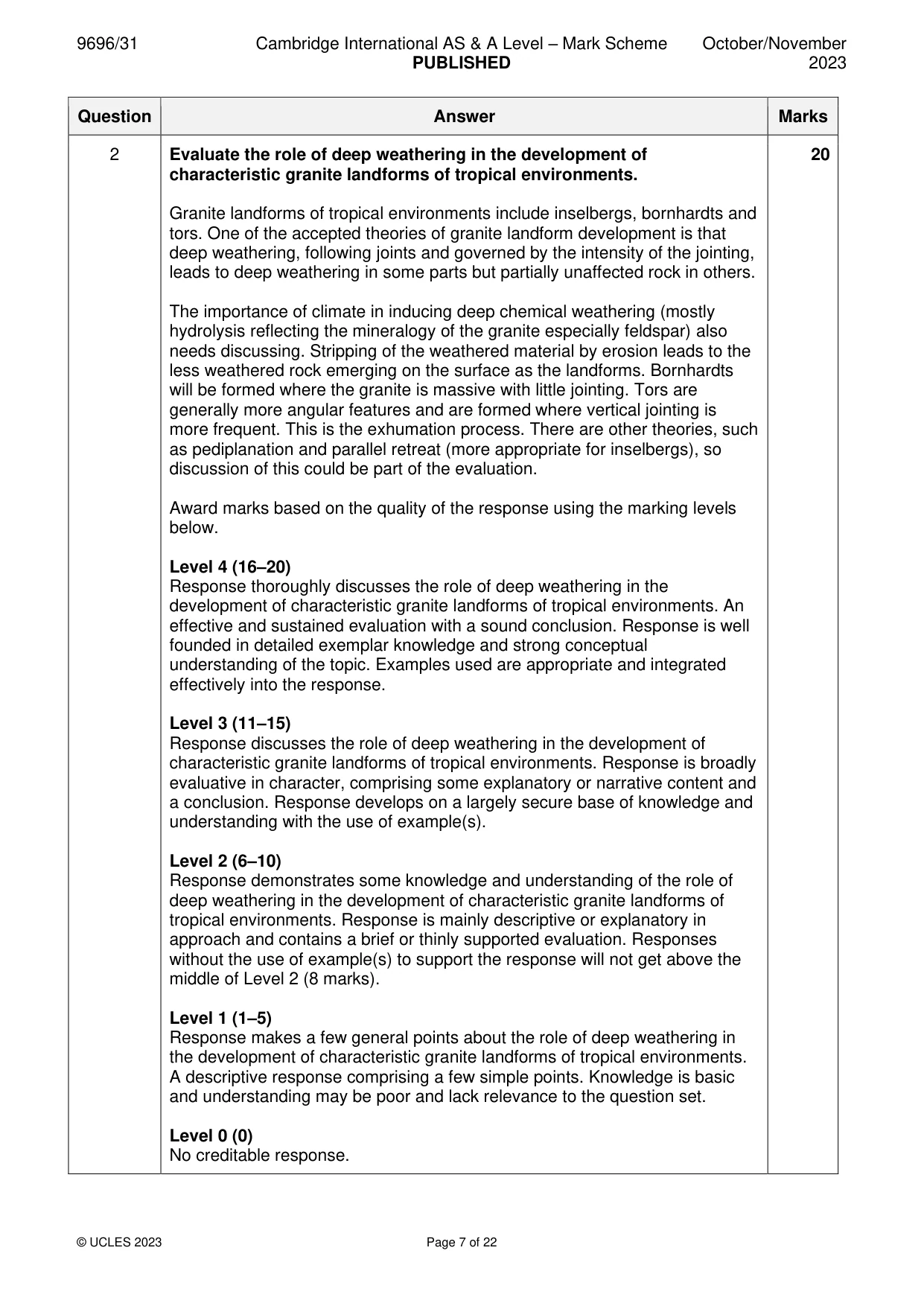
Mark scheme: 2 Evaluate the role of deep weathering in the development of 20 characteristic granite landforms of tropical environments. Granite landforms of tropical environments include inselbergs, bornhardts and tors. One of the accepted theories of granite landform development is that deep weathering, following joints and governed by the intensity of the jointing, leads to deep weathering in some parts but partially unaffected rock in others. The importance of climate in inducing deep chemical weathering (mostly hydrolysis reflecting the mineralogy of the granite especially feldspar) also needs discussing. Stripping of the weathered material by erosion leads to the less weathered rock emerging on the surface as the landforms. Bornhardts will be formed where the granite is massive with little jointing. Tors are generally more angular features and are formed where vertical jointing is more frequent. This is the exhumation process. There are other theories, such as pediplanation and parallel retreat (more appropriate for inselbergs), so discussion of this could be part of the evaluation. Award marks based on the quality of the response using the marking levels below. Level 4 (16–20) Response thoroughly discusses the role of deep weathering in the development of characteristic granite landforms of tropical environments. An effective and sustained evaluation with a sound conclusion. Response is well founded in detailed exemplar knowledge and strong conceptual understanding of the topic. Examples used are appropriate and integrated effectively into the response. Level 3 (11–15) Response discusses the role of deep weathering in the development of characteristic granite landforms of tropical environments. Response is broadly evaluative in character, comprising some explanatory or narrative content and a conclusion. Response develops on a largely secure base of knowledge and understanding with the use of example(s). Level 2 (6–10) Response demonstrates some knowledge and understanding of the role of deep weathering in the development of characteristic granite landforms of tropical environments. Response is mainly descriptive or explanatory in approach and contains a brief or thinly supported evaluation. Responses without the use of example(s) to support the response will not get above the middle of Level 2 (8 marks). Level 1 (1–5) Response makes a few general points about the role of deep weathering in the development of characteristic granite landforms of tropical environments. A descriptive response comprising a few simple points. Knowledge is basic and understanding may be poor and lack relevance to the question set. Level 0 (0) No creditable response.
Q3 · Using a case study of one tropical ecosystem, assess the relative significance of the…
3 Using a case study of one tropical ecosystem, assess the relative significance of the problems of its sustainable management. [20] Coastal environments If answering this option, answer Question 4 and either Question 5 or Question 6.
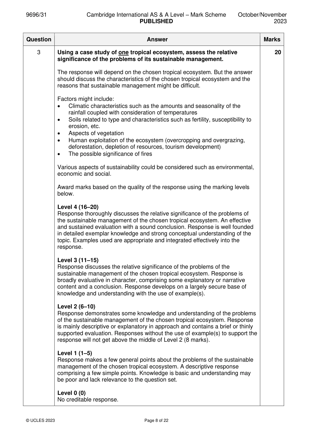
Mark scheme: 3 Using a case study of one tropical ecosystem, assess the relative 20 significance of the problems of its sustainable management. The response will depend on the chosen tropical ecosystem. But the answer should discuss the characteristics of the chosen tropical ecosystem and the reasons that sustainable management might be difficult. Factors might include: • Climatic characteristics such as the amounts and seasonality of the rainfall coupled with consideration of temperatures • Soils related to type and characteristics such as fertility, susceptibility to erosion, etc. • Aspects of vegetation • Human exploitation of the ecosystem (overcropping and overgrazing, deforestation, depletion of resources, tourism development) • The possible significance of fires Various aspects of sustainability could be considered such as environmental, economic and social. Award marks based on the quality of the response using the marking levels below. Level 4 (16–20) Response thoroughly discusses the relative significance of the problems of the sustainable management of the chosen tropical ecosystem. An effective and sustained evaluation with a sound conclusion. Response is well founded in detailed exemplar knowledge and strong conceptual understanding of the topic. Examples used are appropriate and integrated effectively into the response. Level 3 (11–15) Response discusses the relative significance of the problems of the sustainable management of the chosen tropical ecosystem. Response is broadly evaluative in character, comprising some explanatory or narrative content and a conclusion. Response develops on a largely secure base of knowledge and understanding with the use of example(s). Level 2 (6–10) Response demonstrates some knowledge and understanding of the problems of the sustainable management of the chosen tropical ecosystem. Response is mainly descriptive or explanatory in approach and contains a brief or thinly supported evaluation. Responses without the use of example(s) to support the response will not get above the middle of Level 2 (8 marks). Level 1 (1–5) Response makes a few general points about the problems of the sustainable management of the chosen tropical ecosystem. A descriptive response comprising a few simple points. Knowledge is basic and understanding may be poor and lack relevance to the question set. Level 0 (0) No creditable response. Coastal environments If answering this option, answer Question 4 and either Question 5 or Question 6.
Q4 · The impacts of extreme weather events on coastal erosion in Kosrae State, Micronesia…
4 Fig. 4.1 shows the impacts of extreme weather events on coastal erosion in Kosrae State, Micronesia, Pacific Ocean. (a) Describe the distribution of the impacts of extreme weather events on coastal erosion shown in Fig. 4.1. [4] (b) Explain two factors that might influence rates of erosion along coastlines. [6]
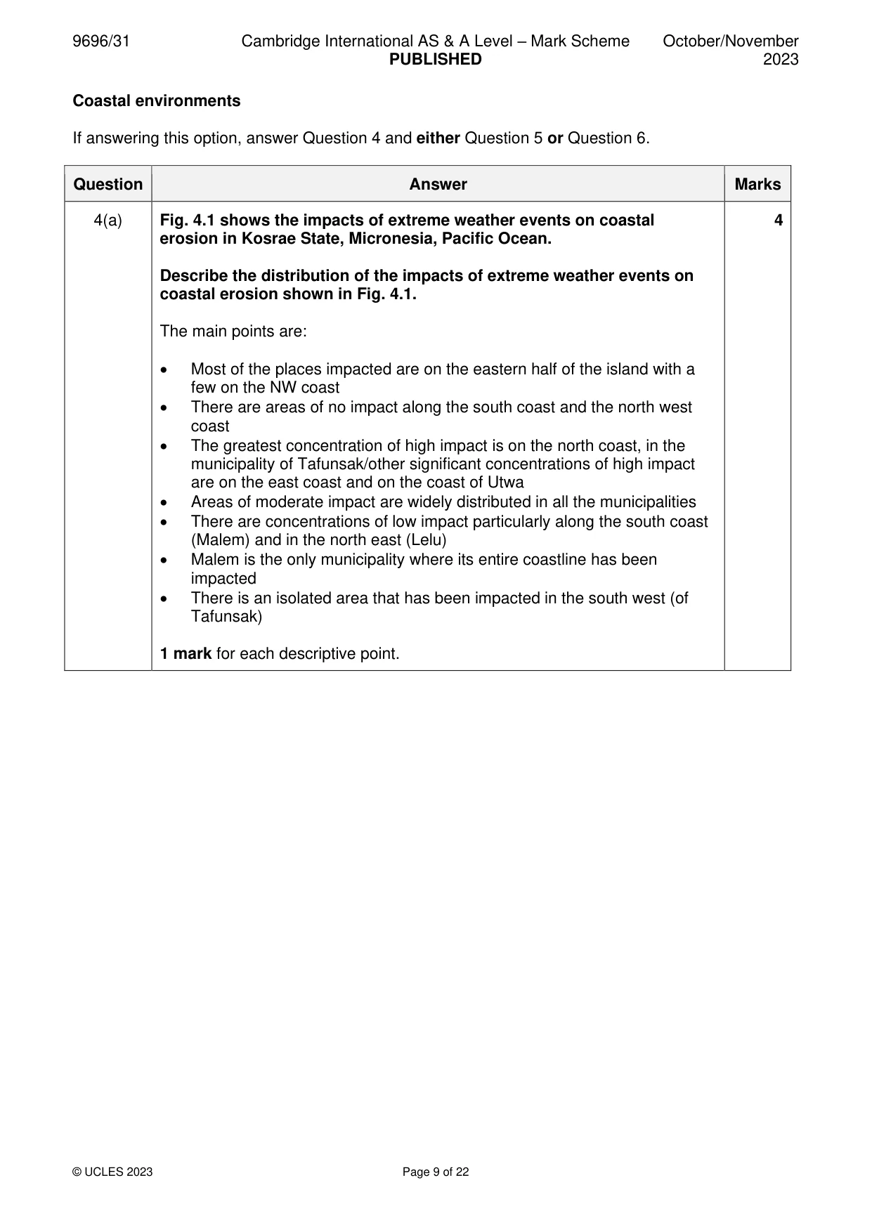
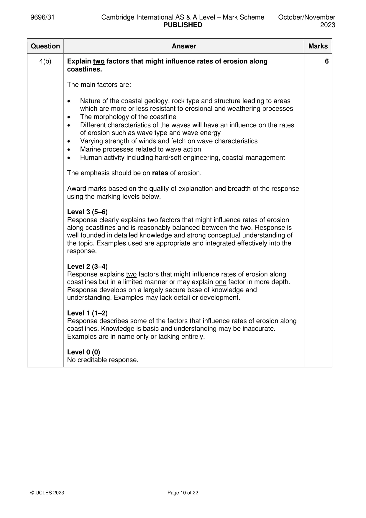
Mark scheme: 4(a) Fig. 4.1 shows the impacts of extreme weather events on coastal 4 erosion in Kosrae State, Micronesia, Pacific Ocean. Describe the distribution of the impacts of extreme weather events on coastal erosion shown in Fig. 4.1. The main points are: • Most of the places impacted are on the eastern half of the island with a few on the NW coast • There are areas of no impact along the south coast and the north west coast • The greatest concentration of high impact is on the north coast, in the municipality of Tafunsak/other significant concentrations of high impact are on the east coast and on the coast of Utwa • Areas of moderate impact are widely distributed in all the municipalities • There are concentrations of low impact particularly along the south coast (Malem) and in the north east (Lelu) • Malem is the only municipality where its entire coastline has been impacted • There is an isolated area that has been impacted in the south west (of Tafunsak) 1 mark for each descriptive point. 4(b) Explain two factors that might influence rates of erosion along 6 coastlines. The main factors are: • Nature of the coastal geology, rock type and structure leading to areas which are more or less resistant to erosional and weathering processes • The morphology of the coastline • Different characteristics of the waves will have an influence on the rates of erosion such as wave type and wave energy • Varying strength of winds and fetch on wave characteristics • Marine processes related to wave action • Human activity including hard/soft engineering, coastal management The emphasis should be on rates of erosion. Award marks based on the quality of explanation and breadth of the response using the marking levels below. Level 3 (5–6) Response clearly explains two factors that might influence rates of erosion along coastlines and is reasonably balanced between the two. Response is well founded in detailed knowledge and strong conceptual understanding of the topic. Examples used are appropriate and integrated effectively into the response. Level 2 (3–4) Response explains two factors that might influence rates of erosion along coastlines but in a limited manner or may explain one factor in more depth. Response develops on a largely secure base of knowledge and understanding. Examples may lack detail or development. Level 1 (1–2) Response describes some of the factors that influence rates of erosion along coastlines. Knowledge is basic and understanding may be inaccurate. Examples are in name only or lacking entirely. Level 0 (0) No creditable response.
Q5 · Assess the extent to which management strategies can reduce threats to coral reefs
5 Assess the extent to which management strategies can reduce threats to coral reefs. [20]
Mark scheme: 5 Assess the extent to which management strategies can reduce threats 20 to coral reefs. Threats to coral reefs could include: • Warming sea surface temperatures • Acidification of the oceans • Rising sea level • Pollution from land • Physical damage, both natural (typhoons, tsunami) and human-induced • Overfishing and methods of fishing • Sedimentation from river input • Crown of Thornes starfish • Tourism and coastal development Threats to coral reefs need to be related to the conditions for healthy coral growth. Management strategies could include: • Reducing carbon emissions to slow climate change • Limiting harmful human activities • Designation of Marine Protection Areas (MPAs) • Development of regulations for fishing such as quotas • Effective monitoring of reefs • Preventing harmful coastal development • Controlling pollution from the land and sea • Eradication of Crown of Thornes starfish Award marks based on the quality of the response using the marking levels below. Level 4 (16–20) Response thoroughly discusses the extent to which management strategies can reduce threats to coral reefs. An effective and sustained evaluation with a sound conclusion. Response is well founded in detailed exemplar knowledge and strong conceptual understanding of the topic. Examples used are appropriate and integrated effectively into the response. Level 3 (11–15) Response discusses the extent to which management strategies can reduce threats to coral reefs. Response is broadly evaluative in character, comprising some explanatory or narrative content and a conclusion. Response develops on a largely secure base of knowledge and understanding with the use of example(s). Level 2 (6–10) Response demonstrates some knowledge and understanding of management strategies and how they can reduce threats to coral reefs. Response is mainly descriptive or explanatory in approach and contains a brief or thinly supported evaluation. Responses without the use of example(s) to support the response will not get above the middle of Level 2 (8 marks). 5 Level 1 (1–5) Response makes a few general points about management strategies and how they can reduce threats to coral reefs. A descriptive response comprising a few simple points. Knowledge is basic and understanding may be poor and lack relevance to the question set. Level 0 (0) No creditable response.
Q6 · ‘Sea‑level rise affects coastal depositional landforms more than coastal erosional…
6 ‘Sea‑level rise affects coastal depositional landforms more than coastal erosional landforms.’ How far do you agree with this view? [20] Hazardous environments If answering this option, answer Question 7 and either Question 8 or Question 9.
Mark scheme: 6 ‘Sea-level rise affects coastal depositional landforms more than coastal 20 erosional landforms.’ How far do you agree with this view? Sea-level rise will affect both coastal depositional landforms and coastal erosional landforms. However, a small rise in sea level on a rocky coast will only affect the erosional landform slightly. However, sea-level rise may affect cliffs as the coastal area may no longer be protected by beaches and other features. Rising sea level on coasts where deposition is occurring will affect the movement of material from offshore and might affect longshore drift and the landforms associated with that such as offshore bars, some tombolos. Also, some depositional landforms will be modified by additional sediments. Award marks based on the quality of the response using the marking levels below. Level 4 (16–20) Response thoroughly discusses the extent to which sea-level rise affects coastal depositional landforms more than coastal erosional landforms. An effective and sustained evaluation with a sound conclusion. Response is well founded in detailed exemplar knowledge and strong conceptual understanding of the topic. Examples used are appropriate and integrated effectively into the response. Level 3 (11–15) Response discusses the extent to which sea-level rise affects coastal depositional landforms more than coastal erosional landforms. Response is broadly evaluative in character, comprising some explanatory or narrative content and a conclusion. Response develops on a largely secure base of knowledge and understanding with the use of example(s). Level 2 (6–10) Response demonstrates some knowledge and understanding of how sea- level rise affects coastal depositional landforms and coastal erosional landforms. Response is mainly descriptive or explanatory in approach and contains a brief or thinly supported evaluation. Responses without the use of example(s) to support the response will not get above the middle of Level 2 (8 marks). Level 1 (1–5) Response makes a few general points about the effect that sea-level rise has on coastal depositional landforms and coastal erosional landforms. A descriptive response comprising a few simple points. Knowledge is basic and understanding may be poor and lack relevance to the question set. Level 0 (0) No creditable response. Hazardous environments If answering this option, answer Question 7 and either Question 8 or Question 9.
Q7 · The recurrence intervals and impacts for selected natural hazards
7 Fig. 7.1 shows the recurrence intervals and impacts for selected natural hazards. (a) Compare the relationships between recurrence intervals and impacts for the natural hazards as shown in Fig. 7.1. [3] (b) Explain why volcanoes can have greater impacts than earthquakes. [7]
Mark scheme: 7(a) Fig. 7.1 shows the recurrence intervals and impacts for selected natural 3 hazards. Compare the relationships between recurrence intervals and impacts for the natural hazards as shown in Fig. 7.1. The figure represents the magnitude frequency concept which usually states that the larger and more catastrophic events are the less frequent. This is what is shown in the figure. However, there are differences between the three hazards. The main points are: • Both volcanoes and tsunamis show a proportional (positive) relationship – more severe events have higher recurrence intervals (i.e. are less frequent) • The positive relationship is more marked for volcanoes than tsunamis • Tsunamis, unlike volcanoes and earthquakes, show a steady magnitude- frequency relationship • Along with volcanoes and tsunamis, earthquakes show a positive relationship between impact and recurrence interval between 0 and 10 000 years • For earthquakes, beyond 10 000 years the severity of impact hardly varies with increasing recurrence interval • For different recurrence intervals, e.g. 10 years, 1000 years and 100 000 years, the order of relative impact changes 1 mark for each comparison. Some specific use of evidence is required for maximum. 7(b) Explain why volcanoes can have greater impacts than earthquakes. 7 There appears to be no limit to the potential impacts of volcanoes, whereas earthquakes have a maximum magnitude which can limit their impacts. Volcanoes could involve a greater variety of hazardous events such as pyroclastic flows, lava flows, ash clouds, lahars, etc. Volcanoes also have the potential to have a global impact, especially from ash clouds. Earthquakes generally affect a more limited area. Earthquakes are also short-lived events, whereas volcanic activity can continue for several months. Generally, many countries have a greater ability to prepare for earthquakes than for volcanoes. The impacts can have varying effects such as physical, social and economic aspects. Award marks based on the quality of explanation and breadth of the response using the marking levels below. Level 3 (6–7) Response clearly explains why volcanoes can have greater impacts than earthquakes. Response is well founded in detailed knowledge and strong conceptual understanding of the topic. Examples used are appropriate and integrated effectively into the response. Level 2 (3–5) Response explains why volcanoes can have greater impacts than earthquakes. Response develops on a largely secure base of knowledge and understanding. Examples may lack detail or development. Level 1 (1–2) Response describes how volcanoes can have greater impacts than earthquakes. Knowledge is basic and understanding may be inaccurate. Examples are in name only or lacking entirely. Level 0 (0) No creditable response.
Q8 · Assess the view that high winds are the most significant hazard of large‑scale…
8 Assess the view that high winds are the most significant hazard of large‑scale atmospheric disturbances. [20]
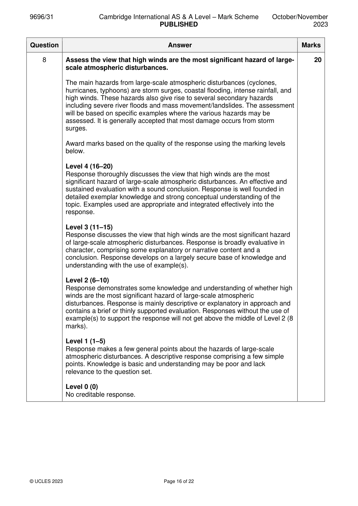
Mark scheme: 8 Assess the view that high winds are the most significant hazard of large- 20 scale atmospheric disturbances. The main hazards from large-scale atmospheric disturbances (cyclones, hurricanes, typhoons) are storm surges, coastal flooding, intense rainfall, and high winds. These hazards also give rise to several secondary hazards including severe river floods and mass movement/landslides. The assessment will be based on specific examples where the various hazards may be assessed. It is generally accepted that most damage occurs from storm surges. Award marks based on the quality of the response using the marking levels below. Level 4 (16–20) Response thoroughly discusses the view that high winds are the most significant hazard of large-scale atmospheric disturbances. An effective and sustained evaluation with a sound conclusion. Response is well founded in detailed exemplar knowledge and strong conceptual understanding of the topic. Examples used are appropriate and integrated effectively into the response. Level 3 (11–15) Response discusses the view that high winds are the most significant hazard of large-scale atmospheric disturbances. Response is broadly evaluative in character, comprising some explanatory or narrative content and a conclusion. Response develops on a largely secure base of knowledge and understanding with the use of example(s). Level 2 (6–10) Response demonstrates some knowledge and understanding of whether high winds are the most significant hazard of large-scale atmospheric disturbances. Response is mainly descriptive or explanatory in approach and contains a brief or thinly supported evaluation. Responses without the use of example(s) to support the response will not get above the middle of Level 2 (8 marks). Level 1 (1–5) Response makes a few general points about the hazards of large-scale atmospheric disturbances. A descriptive response comprising a few simple points. Knowledge is basic and understanding may be poor and lack relevance to the question set. Level 0 (0) No creditable response.
Q9 · To what extent is it difficult to prepare for mass movement hazards?
9 To what extent is it difficult to prepare for mass movement hazards? [20] Hot arid and semi-arid environments If answering this option, answer Question 10 and either Question 11 or Question 12.
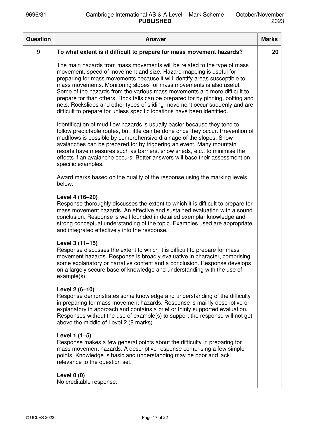
Mark scheme: 9 To what extent is it difficult to prepare for mass movement hazards? 20 The main hazards from mass movements will be related to the type of mass movement, speed of movement and size. Hazard mapping is useful for preparing for mass movements because it will identify areas susceptible to mass movements. Monitoring slopes for mass movements is also useful. Some of the hazards from the various mass movements are more difficult to prepare for than others. Rock falls can be prepared for by pinning, bolting and nets. Rockslides and other types of sliding movement occur suddenly and are difficult to prepare for unless specific locations have been identified. Identification of mud flow hazards is usually easier because they tend to follow predictable routes, but little can be done once they occur. Prevention of mudflows is possible by comprehensive drainage of the slopes. Snow avalanches can be prepared for by triggering an event. Many mountain resorts have measures such as barriers, snow sheds, etc., to minimise the effects if an avalanche occurs. Better answers will base their assessment on specific examples. Award marks based on the quality of the response using the marking levels below. Level 4 (16–20) Response thoroughly discusses the extent to which it is difficult to prepare for mass movement hazards. An effective and sustained evaluation with a sound conclusion. Response is well founded in detailed exemplar knowledge and strong conceptual understanding of the topic. Examples used are appropriate and integrated effectively into the response. Level 3 (11–15) Response discusses the extent to which it is difficult to prepare for mass movement hazards. Response is broadly evaluative in character, comprising some explanatory or narrative content and a conclusion. Response develops on a largely secure base of knowledge and understanding with the use of example(s). Level 2 (6–10) Response demonstrates some knowledge and understanding of the difficulty in preparing for mass movement hazards. Response is mainly descriptive or explanatory in approach and contains a brief or thinly supported evaluation. Responses without the use of example(s) to support the response will not get above the middle of Level 2 (8 marks). Level 1 (1–5) Response makes a few general points about the difficulty in preparing for mass movement hazards. A descriptive response comprising a few simple points. Knowledge is basic and understanding may be poor and lack relevance to the question set. Level 0 (0) No creditable response. Hot arid and semi-arid environments If answering this option, answer Question 10 and either Question 11 or Question 12.
Q10 · The influence of sand supply, wind and vegetation on the type of sand dune
10 Fig. 10.1 shows the influence of sand supply, wind and vegetation on the type of sand dune. (a) Describe the general relationship between sand supply, wind and vegetation and the type of sand dune shown in Fig. 10.1. [4] (b) Explain the formation of sand dunes. [6]
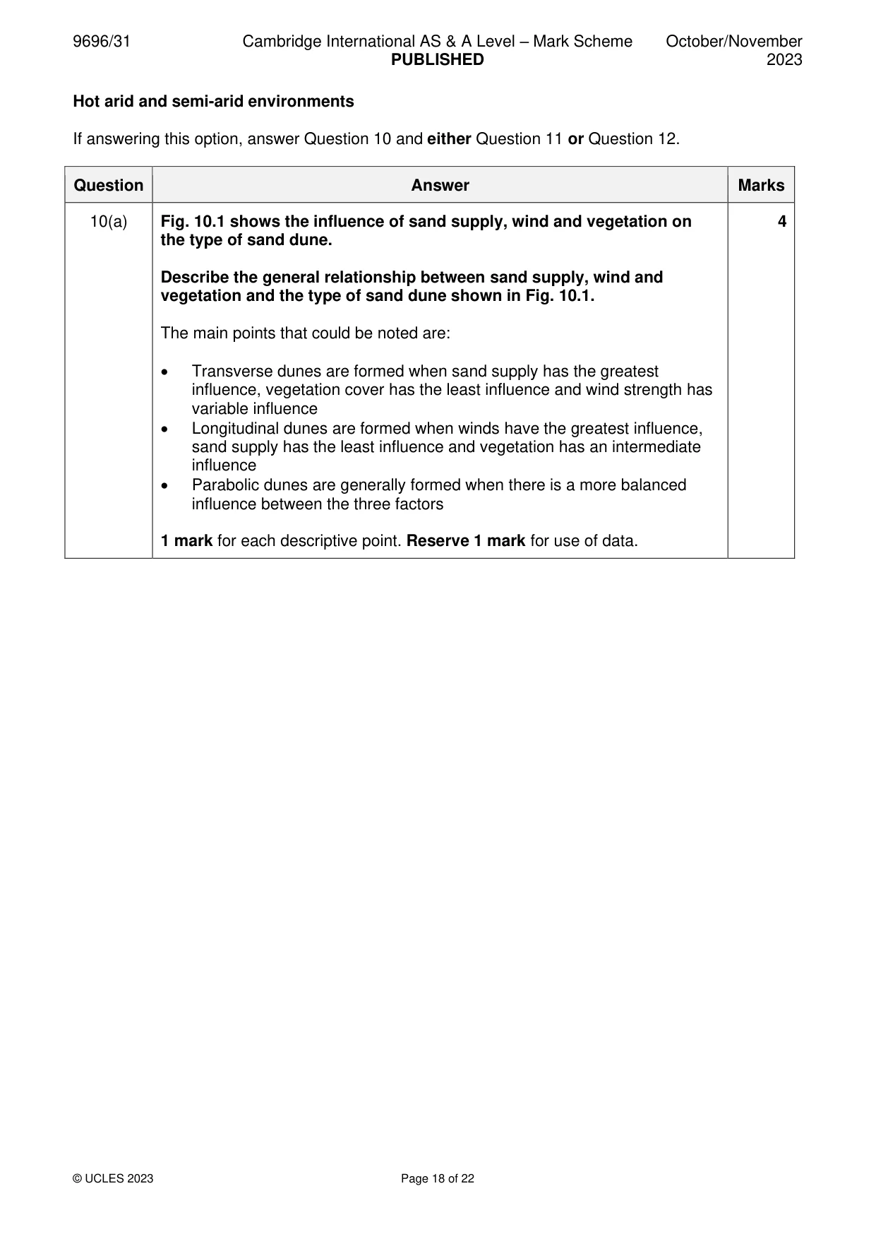
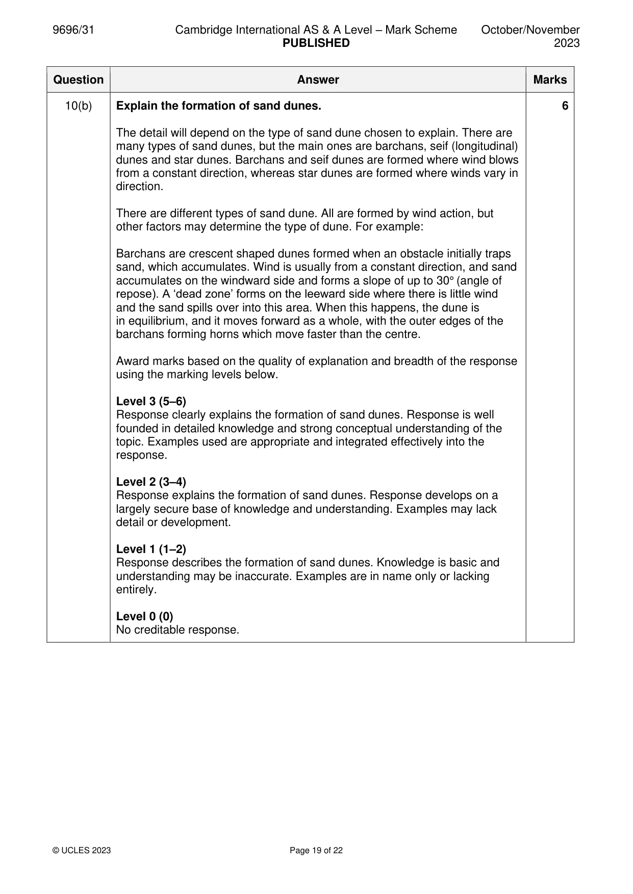
Mark scheme: 10(a) Fig. 10.1 shows the influence of sand supply, wind and vegetation on 4 the type of sand dune. Describe the general relationship between sand supply, wind and vegetation and the type of sand dune shown in Fig. 10.1. The main points that could be noted are: • Transverse dunes are formed when sand supply has the greatest influence, vegetation cover has the least influence and wind strength has variable influence • Longitudinal dunes are formed when winds have the greatest influence, sand supply has the least influence and vegetation has an intermediate influence • Parabolic dunes are generally formed when there is a more balanced influence between the three factors 1 mark for each descriptive point. Reserve 1 mark for use of data. 10(b) Explain the formation of sand dunes. 6 The detail will depend on the type of sand dune chosen to explain. There are many types of sand dunes, but the main ones are barchans, seif (longitudinal) dunes and star dunes. Barchans and seif dunes are formed where wind blows from a constant direction, whereas star dunes are formed where winds vary in direction. There are different types of sand dune. All are formed by wind action, but other factors may determine the type of dune. For example: Barchans are crescent shaped dunes formed when an obstacle initially traps sand, which accumulates. Wind is usually from a constant direction, and sand accumulates on the windward side and forms a slope of up to 30° (angle of repose). A ‘dead zone’ forms on the leeward side where there is little wind and the sand spills over into this area. When this happens, the dune is in equilibrium, and it moves forward as a whole, with the outer edges of the barchans forming horns which move faster than the centre. Award marks based on the quality of explanation and breadth of the response using the marking levels below. Level 3 (5–6) Response clearly explains the formation of sand dunes. Response is well founded in detailed knowledge and strong conceptual understanding of the topic. Examples used are appropriate and integrated effectively into the response. Level 2 (3–4) Response explains the formation of sand dunes. Response develops on a largely secure base of knowledge and understanding. Examples may lack detail or development. Level 1 (1–2) Response describes the formation of sand dunes. Knowledge is basic and understanding may be inaccurate. Examples are in name only or lacking entirely. Level 0 (0) No creditable response.
Q11 · To what extent are plants in hot arid and semi‑arid environments adapted to physical and…
11 To what extent are plants in hot arid and semi‑arid environments adapted to physical and physiological drought rather than extreme temperatures? [20]
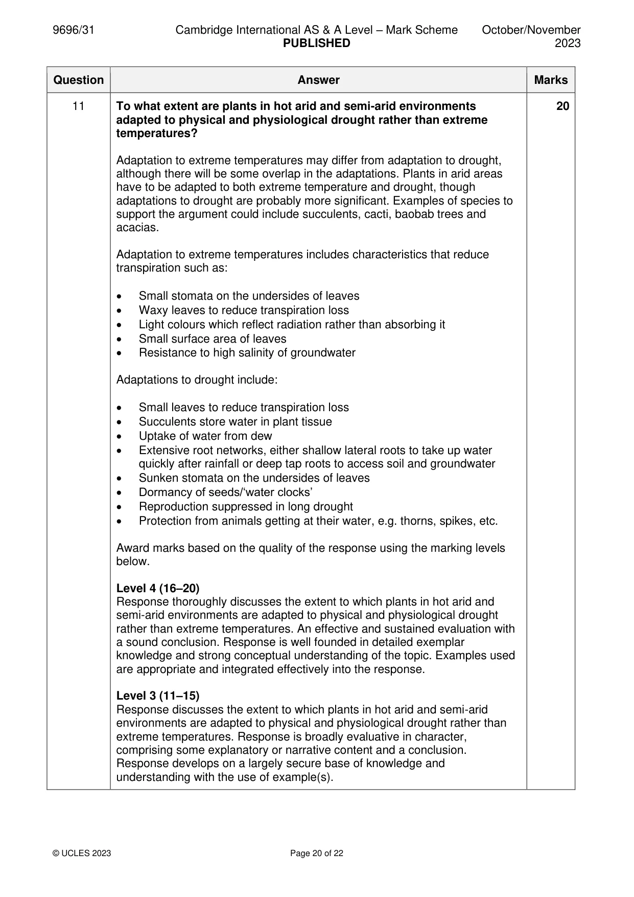
Mark scheme: 11 To what extent are plants in hot arid and semi-arid environments 20 adapted to physical and physiological drought rather than extreme temperatures? Adaptation to extreme temperatures may differ from adaptation to drought, although there will be some overlap in the adaptations. Plants in arid areas have to be adapted to both extreme temperature and drought, though adaptations to drought are probably more significant. Examples of species to support the argument could include succulents, cacti, baobab trees and acacias. Adaptation to extreme temperatures includes characteristics that reduce transpiration such as: • Small stomata on the undersides of leaves • Waxy leaves to reduce transpiration loss • Light colours which reflect radiation rather than absorbing it • Small surface area of leaves • Resistance to high salinity of groundwater Adaptations to drought include: • Small leaves to reduce transpiration loss • Succulents store water in plant tissue • Uptake of water from dew • Extensive root networks, either shallow lateral roots to take up water quickly after rainfall or deep tap roots to access soil and groundwater • Sunken stomata on the undersides of leaves • Dormancy of seeds/‘water clocks’ • Reproduction suppressed in long drought • Protection from animals getting at their water, e.g. thorns, spikes, etc. Award marks based on the quality of the response using the marking levels below. Level 4 (16–20) Response thoroughly discusses the extent to which plants in hot arid and semi-arid environments are adapted to physical and physiological drought rather than extreme temperatures. An effective and sustained evaluation with a sound conclusion. Response is well founded in detailed exemplar knowledge and strong conceptual understanding of the topic. Examples used are appropriate and integrated effectively into the response. Level 3 (11–15) Response discusses the extent to which plants in hot arid and semi-arid environments are adapted to physical and physiological drought rather than extreme temperatures. Response is broadly evaluative in character, comprising some explanatory or narrative content and a conclusion. Response develops on a largely secure base of knowledge and understanding with the use of example(s). 11 Level 2 (6–10) Response demonstrates some knowledge and understanding of the extent to which plants in hot arid and semi-arid environments are adapted to physical and physiological drought rather than extreme temperatures. Response is mainly descriptive or explanatory in approach and contains a brief or thinly supported evaluation. Responses without the use of example(s) to support the response will not get above the middle of Level 2 (8 marks). Level 1 (1–5) Response makes a few general points about plant adaptations to physical and physiological drought and extreme temperatures. A descriptive response comprising a few simple points. Knowledge is basic and understanding may be poor and lack relevance to the question set. Level 0 (0) No creditable response.
Q12 · Using a case study of either a hot arid or a semi‑arid environment, evaluate solutions to…
12 Using a case study of either a hot arid or a semi‑arid environment, evaluate solutions to the problems of its sustainable management. [20]
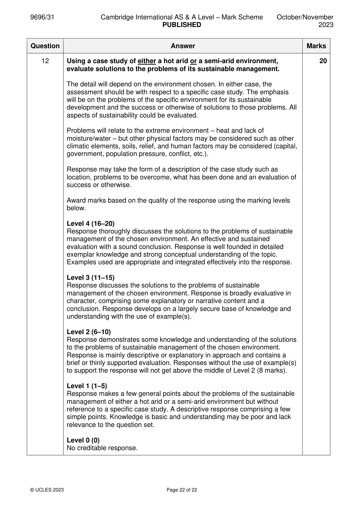
Mark scheme: 12 Using a case study of either a hot arid or a semi-arid environment, 20 evaluate solutions to the problems of its sustainable management. The detail will depend on the environment chosen. In either case, the assessment should be with respect to a specific case study. The emphasis will be on the problems of the specific environment for its sustainable development and the success or otherwise of solutions to those problems. All aspects of sustainability could be evaluated. Problems will relate to the extreme environment – heat and lack of moisture/water – but other physical factors may be considered such as other climatic elements, soils, relief, and human factors may be considered (capital, government, population pressure, conflict, etc.). Response may take the form of a description of the case study such as location, problems to be overcome, what has been done and an evaluation of success or otherwise. Award marks based on the quality of the response using the marking levels below. Level 4 (16–20) Response thoroughly discusses the solutions to the problems of sustainable management of the chosen environment. An effective and sustained evaluation with a sound conclusion. Response is well founded in detailed exemplar knowledge and strong conceptual understanding of the topic. Examples used are appropriate and integrated effectively into the response. Level 3 (11–15) Response discusses the solutions to the problems of sustainable management of the chosen environment. Response is broadly evaluative in character, comprising some explanatory or narrative content and a conclusion. Response develops on a largely secure base of knowledge and understanding with the use of example(s). Level 2 (6–10) Response demonstrates some knowledge and understanding of the solutions to the problems of sustainable management of the chosen environment. Response is mainly descriptive or explanatory in approach and contains a brief or thinly supported evaluation. Responses without the use of example(s) to support the response will not get above the middle of Level 2 (8 marks). Level 1 (1–5) Response makes a few general points about the problems of the sustainable management of either a hot arid or a semi-arid environment but without reference to a specific case study. A descriptive response comprising a few simple points. Knowledge is basic and understanding may be poor and lack relevance to the question set. Level 0 (0) No creditable response.
What was in this paper
The subtopics covered by these 12 questions, and how many questions each got. Open one in a new tab to see every Cambridge question on it.
1Coastal processes1Hazards resulting from atmospheric disturbances1Hazards resulting from mass movements1Hazards resulting from tectonic processes1Humid tropical (rainforest) ecosystems and seasonally humid tropical (savanna) ecosystems1Landforms of hot arid and semi-arid environments1Landforms of tropical environments1Soils and vegetation1Sustainable management of coasts1Sustainable management of hot arid and semi-arid environments1Sustainable management of tropical environments1What you needed in this session
Cambridge’s own grade thresholds for 2023 Oct/Nov, Paper 3 · Variant 1. A higher threshold means an easier paper — the bar moves with how the cohort did.