Cambridge A Level Geography 9696 — 2023 May/June Paper 3 · Variant 1
9696/31/M/J/23 · 12 questions · 60 marks · ≈68 min
The question paper and its mark scheme, free to read here and free to download. This is Cambridge’s own paper, exactly as it was sat.
Question paper4 pages

Mark scheme26 pages
Answers below. Sit the paper first if you are practising.








Questions as text
Q1 · A photograph which shows a tropical landscape in southern Africa
1 Fig. 1.1 is a photograph which shows a tropical landscape in southern Africa. (a) Describe the main features of the landscape shown in Fig. 1.1. [4] (b) Suggest how the landform labelled A in Fig. 1.1 has formed. [6]
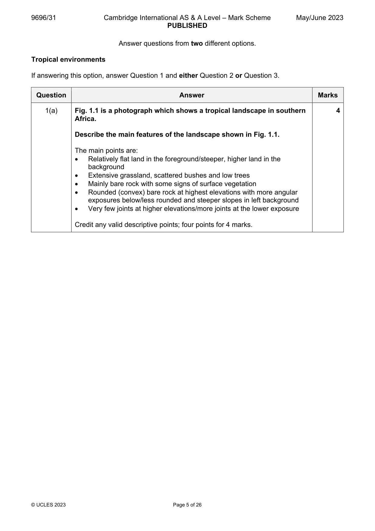
Mark scheme: Question Answer Marks 1(a) Fig. 1.1 is a photograph which shows a tropical landscape in southern 4 Africa. Describe the main features of the landscape shown in Fig. 1.1. The main points are: Relatively flat land in the foreground/steeper, higher land in the background Extensive grassland, scattered bushes and low trees Mainly bare rock with some signs of surface vegetation Rounded (convex) bare rock at highest elevations with more angular exposures below/less rounded and steeper slopes in left background Very few joints at higher elevations/more joints at the lower exposure Credit any valid descriptive points; four points for 4 marks. 1(b) Suggest how the landform labelled A in Fig. 1.1 has formed. 6 Landform A is a boulder inselberg or bornhardt. They typically form on igneous and metamorphic rocks such as granite or gneiss. They may be formed by stripping/exhumation with the removal of rocks weathered below the surface predominantly by chemical processes such as hydrolysis of feldspar minerals, revealing un-weathered rocks beneath. The weathering is controlled by the spacing of the joints leading to spheroidal weathering. The un-weathered rock is left upstanding following stripping of the material, as bornhardts. This is essentially the etchplanation process. Alternatively, they may result from parallel retreat, changing climatic conditions and uplift. Parallel retreat on its own is unlikely to produce rounded features. Further surface weathering might lead to more blocky structures. Reference may be made to current active processes. Answers may refer to one theory of formation, or more. Award marks based on the quality of explanation and breadth of the response using the marking levels below. Level 3 (5–6) Response clearly explains how landform A has formed. Response is well founded in detailed knowledge and strong conceptual understanding of the topic. Examples used are appropriate and integrated effectively into the response. Level 2 (3–4) Response explains how landform A has formed. Response develops on a largely secure base of knowledge and understanding. Examples may lack detail or development. Level 1 (1–2) Response describes the formation of landform A. Knowledge is basic and understanding may be inaccurate. Examples are in name only or lacking entirely. Level 0 (0) No creditable response.
Q2 · Assess the view that rock type is the most important factor influencing soil types in…
2 Assess the view that rock type is the most important factor influencing soil types in tropical environments. [20]
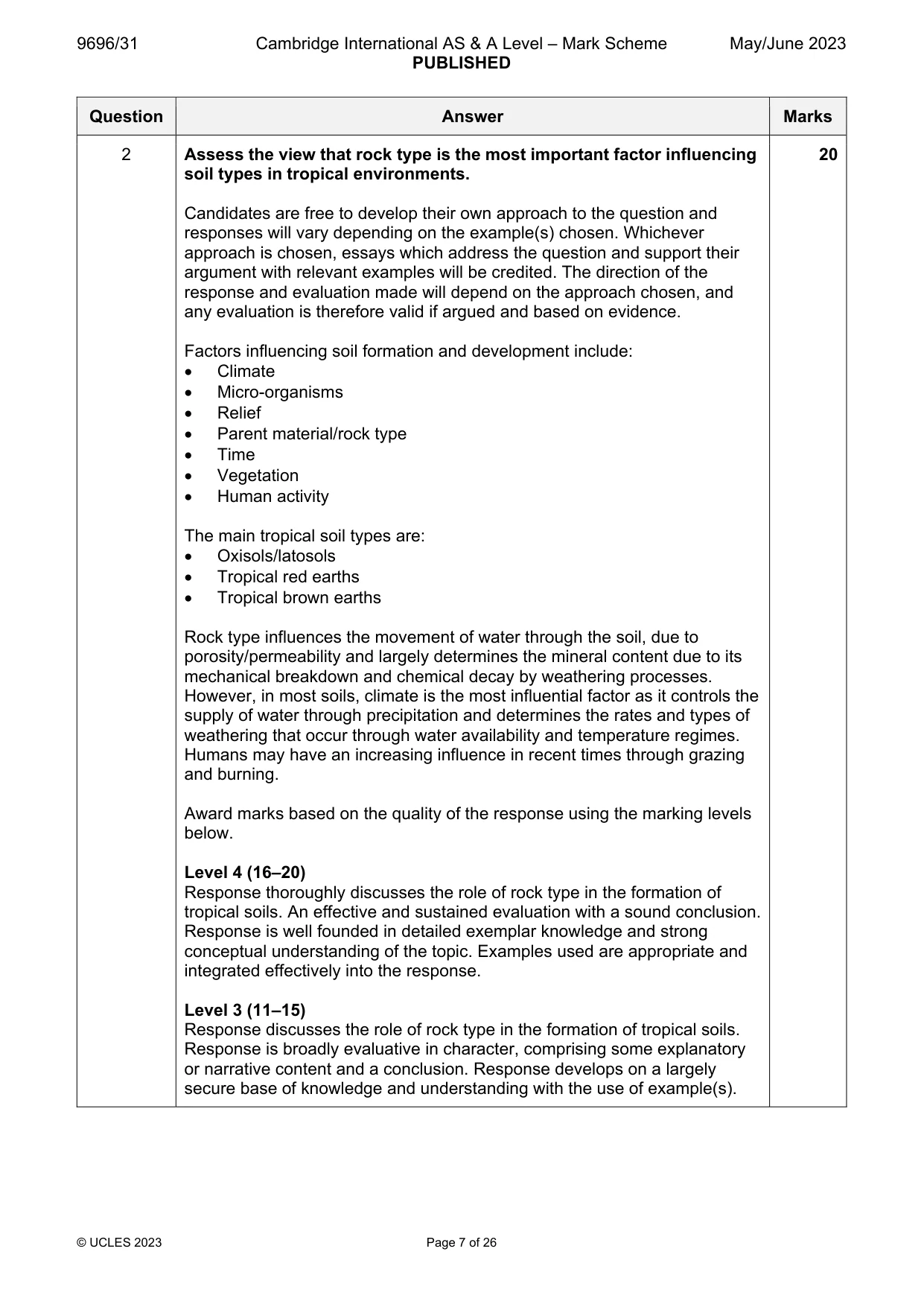
Mark scheme: 2 Assess the view that rock type is the most important factor influencing 20 soil types in tropical environments. Candidates are free to develop their own approach to the question and responses will vary depending on the example(s) chosen. Whichever approach is chosen, essays which address the question and support their argument with relevant examples will be credited. The direction of the response and evaluation made will depend on the approach chosen, and any evaluation is therefore valid if argued and based on evidence. Factors influencing soil formation and development include: Climate Micro-organisms Relief Parent material/rock type Time Vegetation Human activity The main tropical soil types are: Oxisols/latosols Tropical red earths Tropical brown earths Rock type influences the movement of water through the soil, due to porosity/permeability and largely determines the mineral content due to its mechanical breakdown and chemical decay by weathering processes. However, in most soils, climate is the most influential factor as it controls the supply of water through precipitation and determines the rates and types of weathering that occur through water availability and temperature regimes. Humans may have an increasing influence in recent times through grazing and burning. Award marks based on the quality of the response using the marking levels below. Level 4 (16–20) Response thoroughly discusses the role of rock type in the formation of tropical soils. An effective and sustained evaluation with a sound conclusion. Response is well founded in detailed exemplar knowledge and strong conceptual understanding of the topic. Examples used are appropriate and integrated effectively into the response. Level 3 (11–15) Response discusses the role of rock type in the formation of tropical soils. Response is broadly evaluative in character, comprising some explanatory or narrative content and a conclusion. Response develops on a largely secure base of knowledge and understanding with the use of example(s). 2 Level 2 (6–10) Response demonstrates some knowledge and understanding of the role of rock type in the formation of tropical soils. Response is mainly descriptive or explanatory in approach and contains a brief or thinly supported evaluation. Responses without the use of example(s) to support the response will not get above the middle of Level 2 (8 marks). Level 1 (1–5) Response makes a few general points about the role of rock type in the formation of tropical soils. A descriptive response comprising a few simple points. Knowledge is basic and understanding may be poor and lack relevance to the question set. Level 0 (0) No creditable response.
Q3 · ‘The differences between the climatic characteristics of humid tropical and seasonally…
3 ‘The differences between the climatic characteristics of humid tropical and seasonally humid tropical environments are mainly the result of latitude.’ How far do you agree with this view? [20] Coastal environments If answering this option, answer Question 4 and either Question 5 or Question 6.
Mark scheme: 3 ‘The differences between the climatic characteristics of humid tropical 20 and seasonally humid tropical environments are mainly the result of latitude.’ How far do you agree with this view? Candidates are free to develop their own approach to the question and responses will vary depending on the example(s) chosen. Whichever approach is chosen, essays which address the question and support their argument with relevant examples will be credited. The direction of the response and evaluation made will depend on the approach chosen, and any evaluation is therefore valid if argued and based on evidence. Humid tropical climates are typically hot and wet, with maximum temperatures >20°C and mean monthly rainfall >50mm for 8–12 months. Seasonally humid climates exhibit similar temperatures but different rainfall regimes, with 1–7 months having a mean >50mm. The latitude of humid tropical climates is typically 5–10°N/S, with a fairly constant high angle sun giving rise to both high temperatures and convectional rainfall throughout most of the year. Seasonally humid climates tend to occur at slightly higher latitudes where the influence of shifts in the position of the ITCZ cause variations in the direction of winds and the influence of air masses, which create more seasonal differences, especially in rainfall. The length of their drier season increases with latitude. The influence of latitude is, therefore, significant and closely related to the shifting position of the ITCZ. Other factors include sub-tropical anticyclones, monsoons and air masses, differences in vegetation density, altitude, distribution of land and sea in N/S hemispheres and continentality. Answers might consider diurnal as well as annual/seasonal differences. Award marks based on the quality of the response using the marking levels below. Level 4 (16–20) Response thoroughly discusses whether the differences between the climatic characteristics of humid tropical and seasonally humid tropical environments are mainly the result of latitude. An effective and sustained evaluation with a sound conclusion. Response is well founded in detailed exemplar knowledge and strong conceptual understanding of the topic. Examples used are appropriate and integrated effectively into the response. Level 3 (11–15) Response discusses whether the differences between the climatic characteristics of humid tropical and seasonally humid tropical environments are mainly the result of latitude. Response is broadly evaluative in character, comprising some explanatory or narrative content and a conclusion. Response develops on a largely secure base of knowledge and understanding with the use of example(s). 3 Level 2 (6–10) Response demonstrates some knowledge and understanding as to whether the differences between the climatic characteristics of humid tropical and seasonally humid tropical environments are mainly the result of latitude. Response is mainly descriptive or explanatory in approach and contains a brief or thinly supported evaluation. Responses without the use of example(s) to support the response will not get above the middle of Level 2 (8 marks). Level 1 (1–5) Response makes a few general points about whether the differences between the climatic characteristics of humid tropical and seasonally humid tropical environments are mainly the result of latitude. A descriptive response comprising a few simple points. Knowledge is basic and understanding may be poor and lack relevance to the question set. Level 0 (0) No creditable response. Coastal environments If answering this option, answer Question 4 and either Question 5 or Question 6.
Q4 · Mean erosion and mean deposition rates along a stretch of coastline on Hatteras Island…
4 Fig. 4.1 shows mean erosion and mean deposition rates along a stretch of coastline on Hatteras Island, North Carolina, USA, 1989–2002. (a) Describe the pattern of mean erosion and mean deposition rates shown in Fig. 4.1. [4] (b) Explain why the rates of erosion and deposition vary along a stretch of coastline. [6]
Mark scheme: 4(a) Fig. 4.1 shows mean erosion and mean deposition rates along a stretch 4 of coastline on Hatteras Island, North Carolina, USA, 1989–2002. Describe the pattern of mean erosion and mean deposition rates shown in Fig. 4.1. The main points that could be made are: Overall, erosion tends to be greater than deposition along the coastline The pattern is very uneven/fluctuations with variable rates along its length Erosion is at its highest near the start of the coastline with site 15 having 10m/year Deposition is highest towards the end of the coastline with site 150 having over 6m/year Site 66 is something of an anomaly, with 12m/year of erosion in a stretch of coastline when erosion is decreasing with distance Range of erosion is greater/nearly double than range of deposition Four accurate points for 4 marks. Max. 3 marks for answers with no data. Max. 3 for only erosion or deposition. 4(b) Explain why the rates of erosion and deposition vary along a stretch of 6 coastline. There are likely to be several possible reasons for the variable rates of erosion and deposition. Possible reasons include variations in: Wave energy and wave types – high energy waves are likely to lead to erosion and low energy waves to deposition Wind – wind speed and direction (length of fetch) will influence the levels of wave energy Tidal currents Geology – the resistance of the coastal geology to processes of erosion and also its ability to yield sediment through weathering and mass movement Sediment input from rivers – significant percentages of beach material can be derived from fluvial deposition rather than marine deposition Human activity – installation of sea walls will limit erosion, whilst groynes increase deposition. Vegetation such as mangroves Award marks based on the quality of explanation and breadth of the response using the marking levels below. Level 3 (5–6) Response clearly explains at least two valid reasons why the rates of erosion and deposition vary along a stretch of coastline. Response is well founded in detailed knowledge and strong conceptual understanding of the topic. Examples used are appropriate and integrated effectively into the response. Level 2 (3–4) Response explains at least one valid reason why the rates of erosion and deposition vary along a stretch of coastline. Response develops on a largely secure base of knowledge and understanding. Examples may lack detail or development. Level 1 (1–2) Response describes at least one valid reason why the rates of erosion and deposition vary along a stretch of coastline. Knowledge is basic and understanding may be inaccurate. Examples are in name only or lacking entirely. Level 0 (0) No creditable response.
Q5 · Assess the influence of sub-aerial processes in the formation of coastal landforms
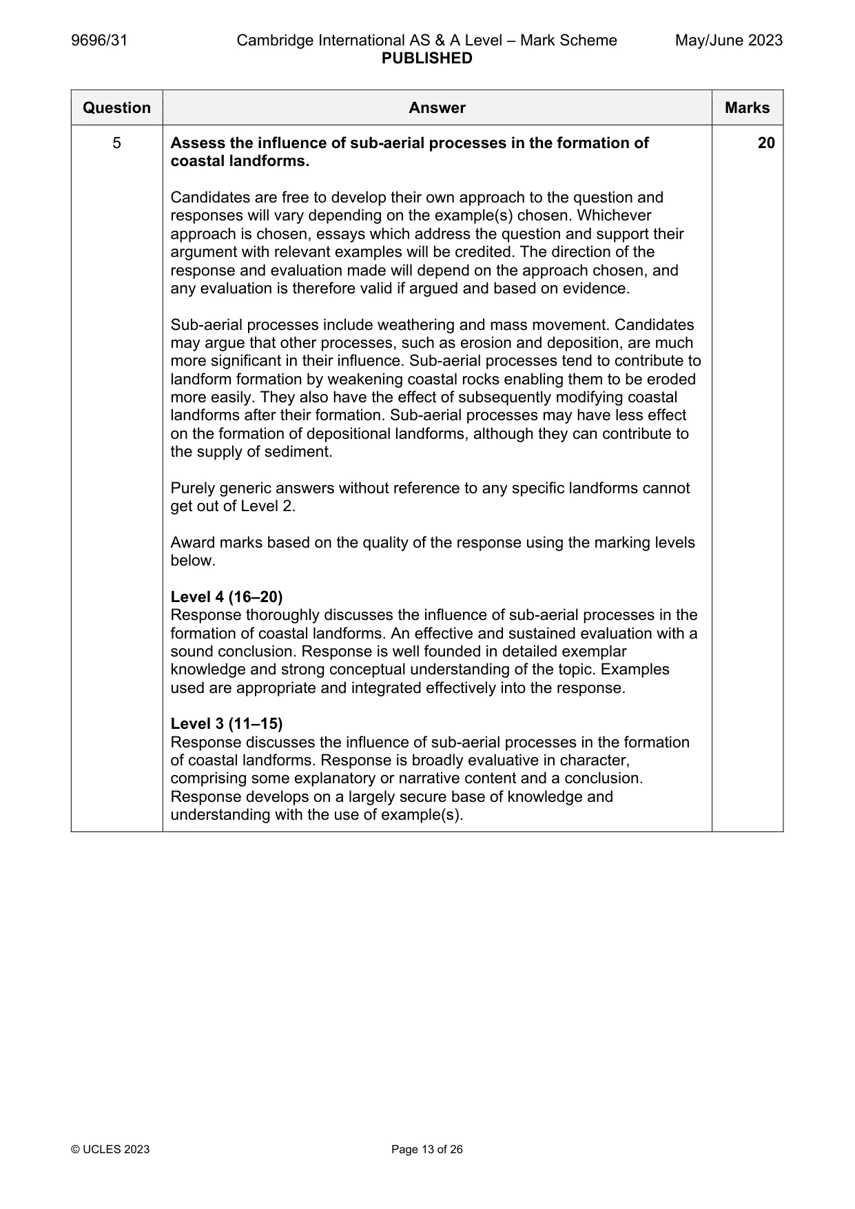
5 Assess the influence of sub-aerial processes in the formation of coastal landforms. [20]
Mark scheme: 5 Assess the influence of sub-aerial processes in the formation of 20 coastal landforms. Candidates are free to develop their own approach to the question and responses will vary depending on the example(s) chosen. Whichever approach is chosen, essays which address the question and support their argument with relevant examples will be credited. The direction of the response and evaluation made will depend on the approach chosen, and any evaluation is therefore valid if argued and based on evidence. Sub-aerial processes include weathering and mass movement. Candidates may argue that other processes, such as erosion and deposition, are much more significant in their influence. Sub-aerial processes tend to contribute to landform formation by weakening coastal rocks enabling them to be eroded more easily. They also have the effect of subsequently modifying coastal landforms after their formation. Sub-aerial processes may have less effect on the formation of depositional landforms, although they can contribute to the supply of sediment. Purely generic answers without reference to any specific landforms cannot get out of Level 2. Award marks based on the quality of the response using the marking levels below. Level 4 (16–20) Response thoroughly discusses the influence of sub-aerial processes in the formation of coastal landforms. An effective and sustained evaluation with a sound conclusion. Response is well founded in detailed exemplar knowledge and strong conceptual understanding of the topic. Examples used are appropriate and integrated effectively into the response. Level 3 (11–15) Response discusses the influence of sub-aerial processes in the formation of coastal landforms. Response is broadly evaluative in character, comprising some explanatory or narrative content and a conclusion. Response develops on a largely secure base of knowledge and understanding with the use of example(s). 5 Level 2 (6–10) Response demonstrates some knowledge and understanding of the influence of sub-aerial processes in the formation of coastal landforms. Response is mainly descriptive or explanatory in approach and contains a brief or thinly supported evaluation. Responses without the use of example(s) to support the response will not get above the middle of Level 2 (8 marks). Level 1 (1–5) Response makes a few general points about the influence of sub-aerial processes in the formation of coastal landforms. A descriptive response comprising a few simple points. Knowledge is basic and understanding may be poor and lack relevance to the question set. Level 0 (0) No creditable response.
Q6 · Hazardous environments If answering this option, answer Question 7 and either Question 8…
Hazardous environments If answering this option, answer Question 7 and either Question 8 or Question 9.
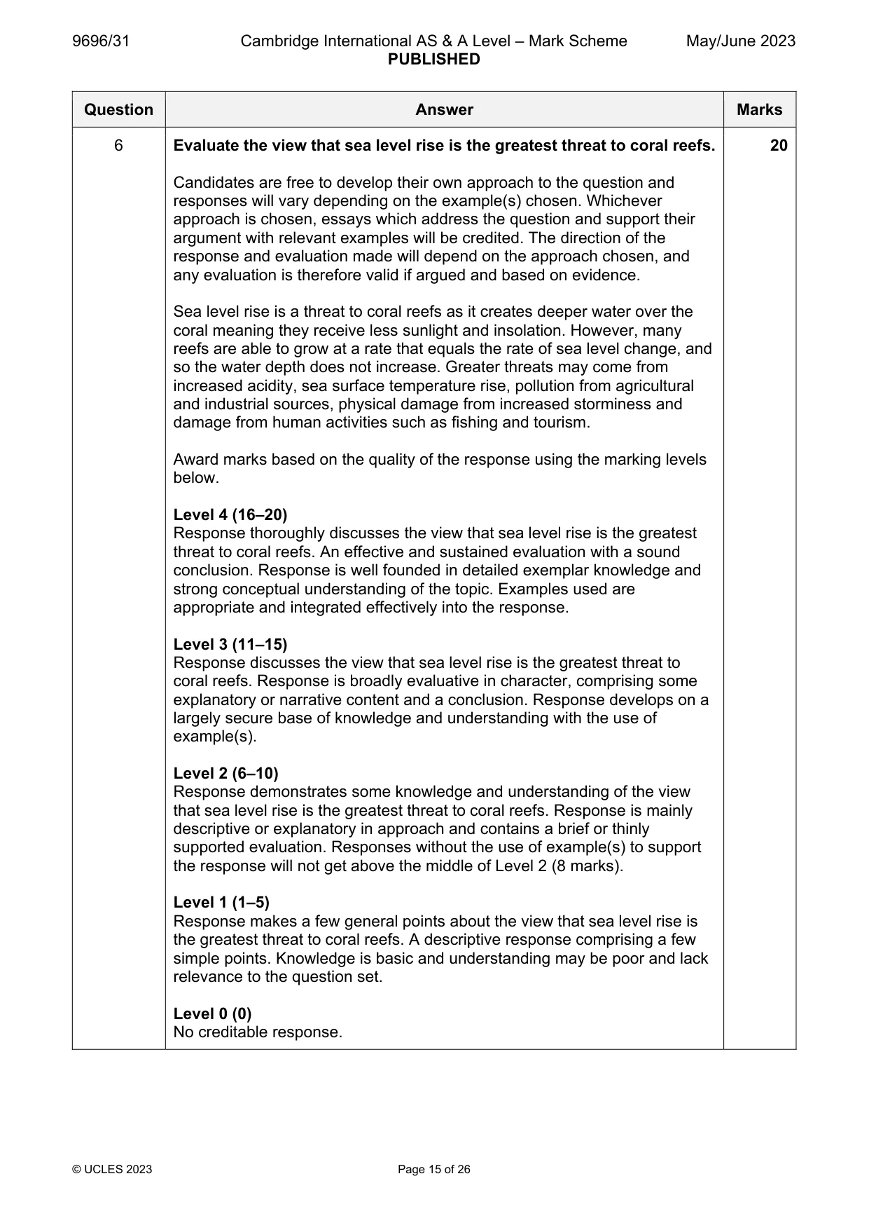
Mark scheme: 6 Evaluate the view that sea level rise is the greatest threat to coral reefs. 20 Candidates are free to develop their own approach to the question and responses will vary depending on the example(s) chosen. Whichever approach is chosen, essays which address the question and support their argument with relevant examples will be credited. The direction of the response and evaluation made will depend on the approach chosen, and any evaluation is therefore valid if argued and based on evidence. Sea level rise is a threat to coral reefs as it creates deeper water over the coral meaning they receive less sunlight and insolation. However, many reefs are able to grow at a rate that equals the rate of sea level change, and so the water depth does not increase. Greater threats may come from increased acidity, sea surface temperature rise, pollution from agricultural and industrial sources, physical damage from increased storminess and damage from human activities such as fishing and tourism. Award marks based on the quality of the response using the marking levels below. Level 4 (16–20) Response thoroughly discusses the view that sea level rise is the greatest threat to coral reefs. An effective and sustained evaluation with a sound conclusion. Response is well founded in detailed exemplar knowledge and strong conceptual understanding of the topic. Examples used are appropriate and integrated effectively into the response. Level 3 (11–15) Response discusses the view that sea level rise is the greatest threat to coral reefs. Response is broadly evaluative in character, comprising some explanatory or narrative content and a conclusion. Response develops on a largely secure base of knowledge and understanding with the use of example(s). Level 2 (6–10) Response demonstrates some knowledge and understanding of the view that sea level rise is the greatest threat to coral reefs. Response is mainly descriptive or explanatory in approach and contains a brief or thinly supported evaluation. Responses without the use of example(s) to support the response will not get above the middle of Level 2 (8 marks). Level 1 (1–5) Response makes a few general points about the view that sea level rise is the greatest threat to coral reefs. A descriptive response comprising a few simple points. Knowledge is basic and understanding may be poor and lack relevance to the question set. Level 0 (0) No creditable response. Hazardous environments If answering this option, answer Question 7 and either Question 8 or Question 9.
Q7 · A liquefaction hazard map for the island province of Bohol, The Philippines
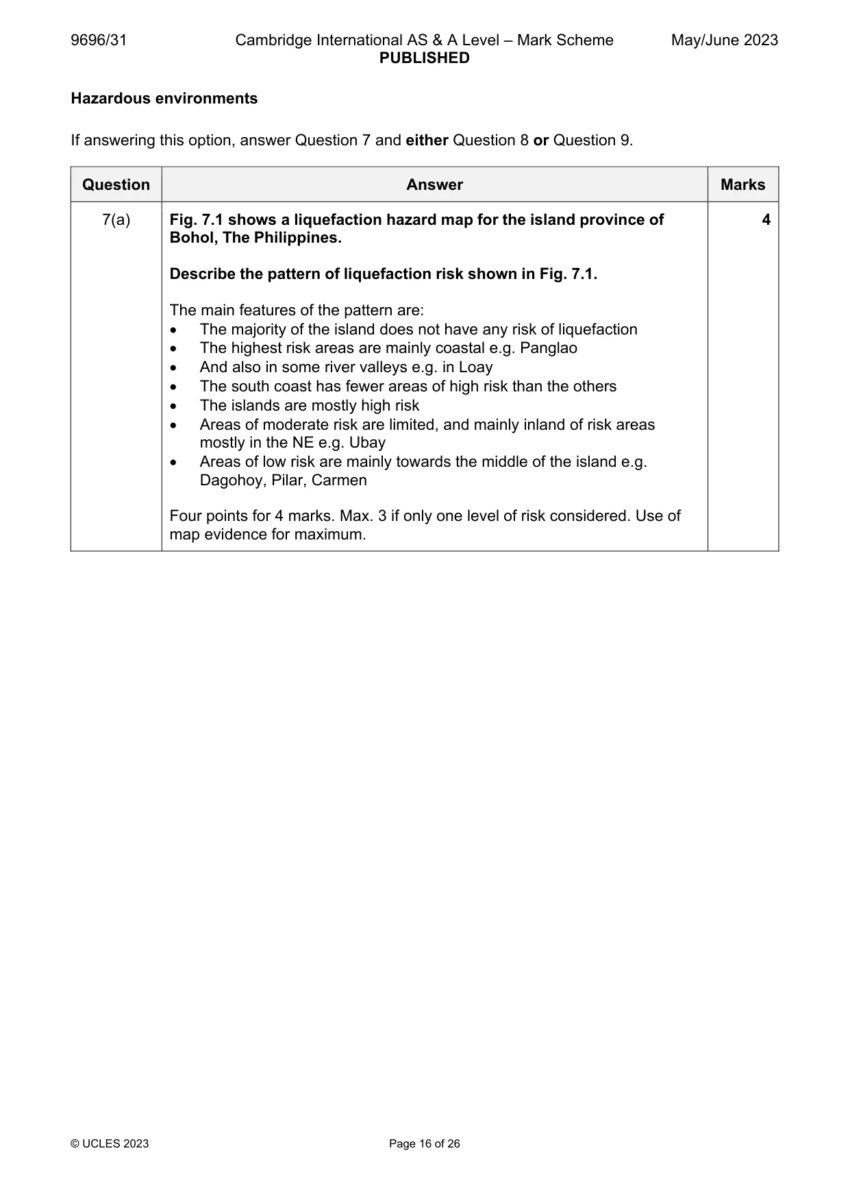
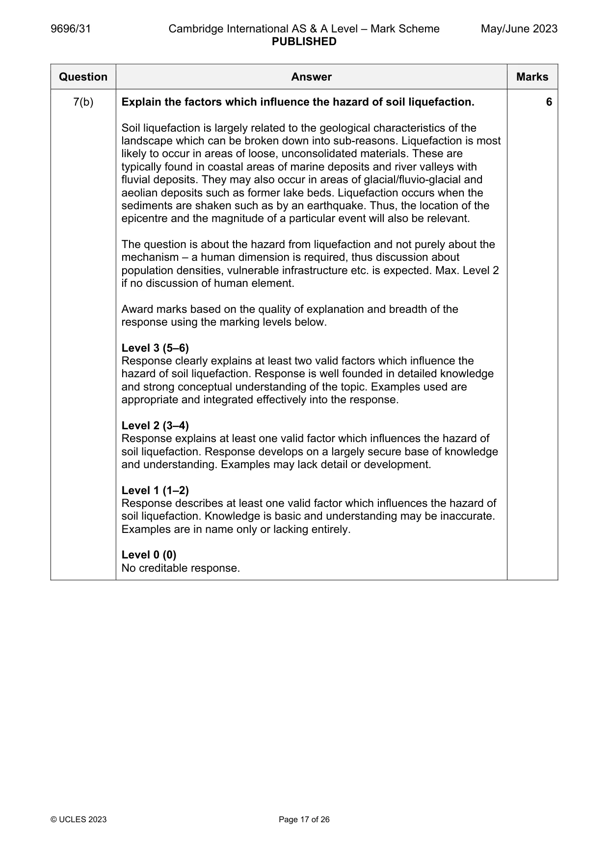
7 Fig. 7.1 shows a liquefaction hazard map for the island province of Bohol, The Philippines. (a) Describe the pattern of liquefaction risk shown in Fig. 7.1. [4] (b) Explain the factors which influence the hazard of soil liquefaction. [6]
Mark scheme: 7(a) Fig. 7.1 shows a liquefaction hazard map for the island province of 4 Bohol, The Philippines. Describe the pattern of liquefaction risk shown in Fig. 7.1. The main features of the pattern are: The majority of the island does not have any risk of liquefaction The highest risk areas are mainly coastal e.g. Panglao And also in some river valleys e.g. in Loay The south coast has fewer areas of high risk than the others The islands are mostly high risk Areas of moderate risk are limited, and mainly inland of risk areas mostly in the NE e.g. Ubay Areas of low risk are mainly towards the middle of the island e.g. Dagohoy, Pilar, Carmen Four points for 4 marks. Max. 3 if only one level of risk considered. Use of map evidence for maximum. 7(b) Explain the factors which influence the hazard of soil liquefaction. 6 Soil liquefaction is largely related to the geological characteristics of the landscape which can be broken down into sub-reasons. Liquefaction is most likely to occur in areas of loose, unconsolidated materials. These are typically found in coastal areas of marine deposits and river valleys with fluvial deposits. They may also occur in areas of glacial/fluvio-glacial and aeolian deposits such as former lake beds. Liquefaction occurs when the sediments are shaken such as by an earthquake. Thus, the location of the epicentre and the magnitude of a particular event will also be relevant. The question is about the hazard from liquefaction and not purely about the mechanism – a human dimension is required, thus discussion about population densities, vulnerable infrastructure etc. is expected. Max. Level 2 if no discussion of human element. Award marks based on the quality of explanation and breadth of the response using the marking levels below. Level 3 (5–6) Response clearly explains at least two valid factors which influence the hazard of soil liquefaction. Response is well founded in detailed knowledge and strong conceptual understanding of the topic. Examples used are appropriate and integrated effectively into the response. Level 2 (3–4) Response explains at least one valid factor which influences the hazard of soil liquefaction. Response develops on a largely secure base of knowledge and understanding. Examples may lack detail or development. Level 1 (1–2) Response describes at least one valid factor which influences the hazard of soil liquefaction. Knowledge is basic and understanding may be inaccurate. Examples are in name only or lacking entirely. Level 0 (0) No creditable response.
Q8 · ‘Monitoring is the most effective method of managing mass movement hazards.’ How far do…
8 ‘Monitoring is the most effective method of managing mass movement hazards.’ How far do you agree with this view? [20]
Mark scheme: 8 ‘Monitoring is the most effective method of managing mass movement 20 hazards.’ How far do you agree with this view? Candidates are free to develop their own approach to the question and responses will vary depending on the example(s) chosen. Whichever approach is chosen, essays which address the question and support their argument with relevant examples will be credited. The direction of the response and evaluation made will depend on the approach chosen, and any evaluation is therefore valid if argued and based on evidence. Monitoring is an effective approach to the management of mass movement hazards, and its purpose is largely to aid prediction and preparation. It can involve the monitoring of water content, slope angle, strain and even visual signs of movement such as tree bending and wall bulging. However, there are other methods involving prevention and response that can be used such as: Land-use zoning Education/evacuation drills Drainage of slopes Afforestation/vegetation Hard engineering such as retaining walls/pinning/netting/grading Hazard mapping Award marks based on the quality of the response using the marking levels below. Level 4 (16–20) Response thoroughly discusses whether monitoring is the most effective method of managing mass movement hazards. An effective and sustained evaluation with a sound conclusion. Response is well founded in detailed exemplar knowledge and strong conceptual understanding of the topic. Examples used are appropriate and integrated effectively into the response. Level 3 (11–15) Response discusses whether monitoring is the most effective method of managing mass movement hazards. Response is broadly evaluative in character, comprising some explanatory or narrative content and a conclusion. Response develops on a largely secure base of knowledge and understanding with the use of example(s). Level 2 (6–10) Response demonstrates some knowledge and understanding as to whether monitoring is the most effective method of managing mass movement hazards. Response is mainly descriptive or explanatory in approach and contains a brief or thinly supported evaluation. Responses without the use of example(s) to support the response will not get above the middle of Level 2 (8 marks). 8 Level 1 (1–5) Response makes a few general points about whether monitoring is the most effective method of managing mass movement hazards. A descriptive response comprising a few simple points. Knowledge is basic and understanding may be poor and lack relevance to the question set. Level 0 (0) No creditable response.
Q9 · To what extent are high winds the most significant hazard of small-scale atmospheric…
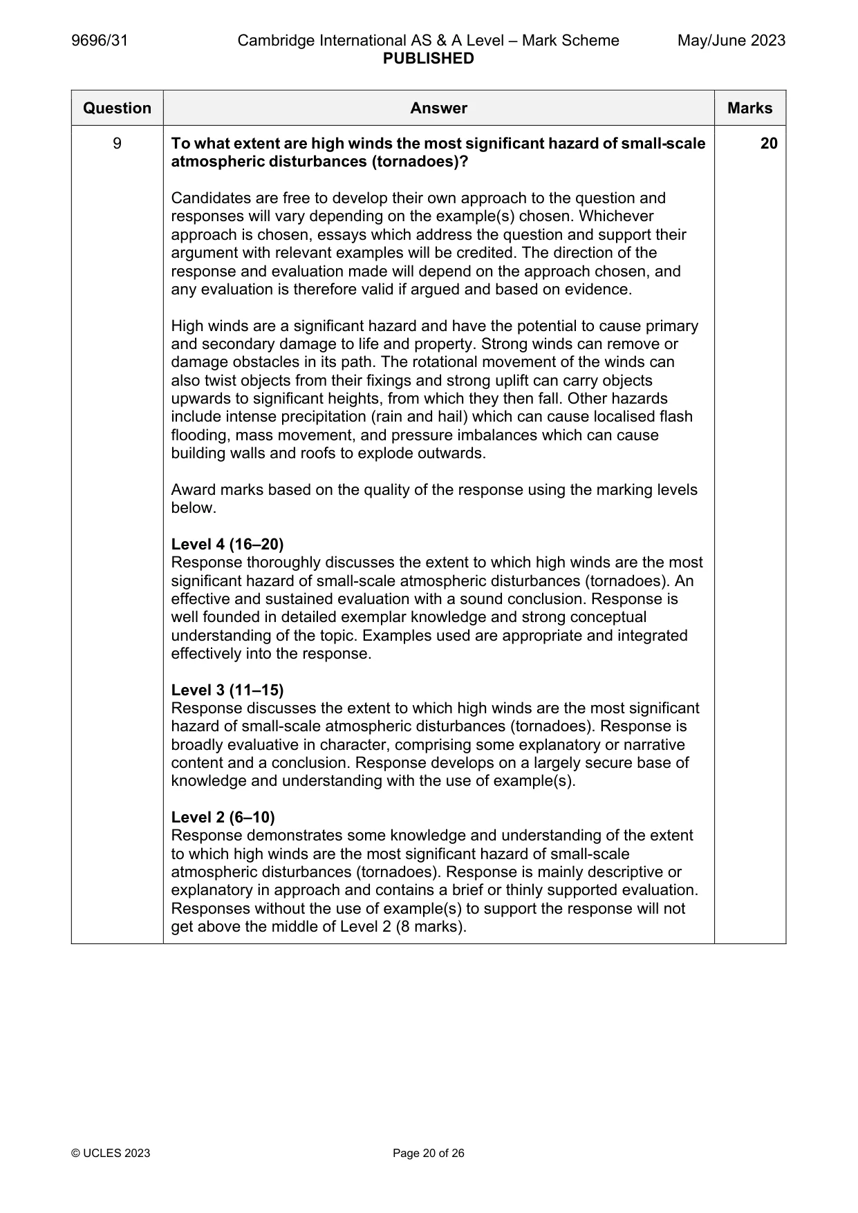
9 To what extent are high winds the most significant hazard of small-scale atmospheric disturbances (tornadoes)? [20] Hot arid and semi-arid environments If answering this option, answer Question 10 and either Question 11 or Question 12.
Mark scheme: 9 To what extent are high winds the most significant hazard of small-scale 20 atmospheric disturbances (tornadoes)? Candidates are free to develop their own approach to the question and responses will vary depending on the example(s) chosen. Whichever approach is chosen, essays which address the question and support their argument with relevant examples will be credited. The direction of the response and evaluation made will depend on the approach chosen, and any evaluation is therefore valid if argued and based on evidence. High winds are a significant hazard and have the potential to cause primary and secondary damage to life and property. Strong winds can remove or damage obstacles in its path. The rotational movement of the winds can also twist objects from their fixings and strong uplift can carry objects upwards to significant heights, from which they then fall. Other hazards include intense precipitation (rain and hail) which can cause localised flash flooding, mass movement, and pressure imbalances which can cause building walls and roofs to explode outwards. Award marks based on the quality of the response using the marking levels below. Level 4 (16–20) Response thoroughly discusses the extent to which high winds are the most significant hazard of small-scale atmospheric disturbances (tornadoes). An effective and sustained evaluation with a sound conclusion. Response is well founded in detailed exemplar knowledge and strong conceptual understanding of the topic. Examples used are appropriate and integrated effectively into the response. Level 3 (11–15) Response discusses the extent to which high winds are the most significant hazard of small-scale atmospheric disturbances (tornadoes). Response is broadly evaluative in character, comprising some explanatory or narrative content and a conclusion. Response develops on a largely secure base of knowledge and understanding with the use of example(s). Level 2 (6–10) Response demonstrates some knowledge and understanding of the extent to which high winds are the most significant hazard of small-scale atmospheric disturbances (tornadoes). Response is mainly descriptive or explanatory in approach and contains a brief or thinly supported evaluation. Responses without the use of example(s) to support the response will not get above the middle of Level 2 (8 marks). 9 Level 1 (1–5) Response makes a few general points about the extent to which high winds are the most significant hazard of small-scale atmospheric disturbances (tornadoes). A descriptive response comprising a few simple points. Knowledge is basic and understanding may be poor and lack relevance to the question set. Level 0 (0) No creditable response. Hot arid and semi-arid environments If answering this option, answer Question 10 and either Question 11 or Question 12.
Q10 · A cross-section of a mountain front and an alluvial fan in a semi-arid environment in the…
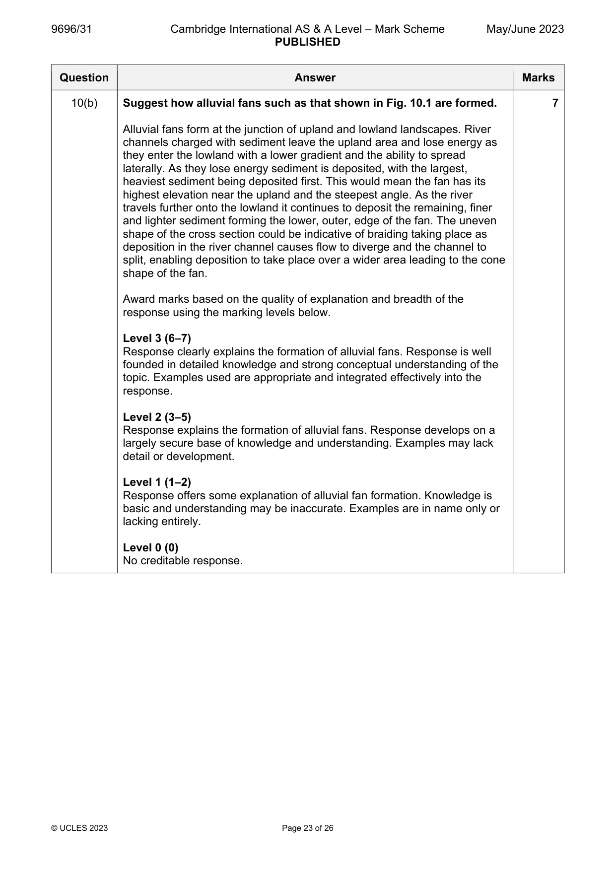
10 Fig. 10.1 shows a cross-section of a mountain front and an alluvial fan in a semi-arid environment in the Anza-Borrego Desert, California, USA. (a) Describe the cross-section shown in Fig. 10.1. [3] (b) Suggest how alluvial fans such as that shown in Fig. 10.1 are formed. [7]
Mark scheme: 10(a) Fig. 10.1 shows a cross-section of a mountain front and an alluvial fan 3 in a semi-arid environment in the Anza-Borrego Desert, California, USA. Describe the cross-section shown in Fig. 10.1. The main characteristics are: Overall decrease in elevation from left to right of 1200m in 9km Decrease is most significant on the left/steeper gradient, the mountain front, dropping 600m in 1km Decrease is less significant on the alluvial fan with the middle of the fan having a fall of 100m in 3km/lesser gradient Slightly steeper on right portion of the fan, falling 150m in the last 2km Three points for 3 marks. Use of evidence from the cross-section for maximum. Max. 2 if only mountain front or alluvial fan described. 10(b) Suggest how alluvial fans such as that shown in Fig. 10.1 are formed. 7 Alluvial fans form at the junction of upland and lowland landscapes. River channels charged with sediment leave the upland area and lose energy as they enter the lowland with a lower gradient and the ability to spread laterally. As they lose energy sediment is deposited, with the largest, heaviest sediment being deposited first. This would mean the fan has its highest elevation near the upland and the steepest angle. As the river travels further onto the lowland it continues to deposit the remaining, finer and lighter sediment forming the lower, outer, edge of the fan. The uneven shape of the cross section could be indicative of braiding taking place as deposition in the river channel causes flow to diverge and the channel to split, enabling deposition to take place over a wider area leading to the cone shape of the fan. Award marks based on the quality of explanation and breadth of the response using the marking levels below. Level 3 (6–7) Response clearly explains the formation of alluvial fans. Response is well founded in detailed knowledge and strong conceptual understanding of the topic. Examples used are appropriate and integrated effectively into the response. Level 2 (3–5) Response explains the formation of alluvial fans. Response develops on a largely secure base of knowledge and understanding. Examples may lack detail or development. Level 1 (1–2) Response offers some explanation of alluvial fan formation. Knowledge is basic and understanding may be inaccurate. Examples are in name only or lacking entirely. Level 0 (0) No creditable response.
Q11 · To what extent is aridity caused by ocean currents?
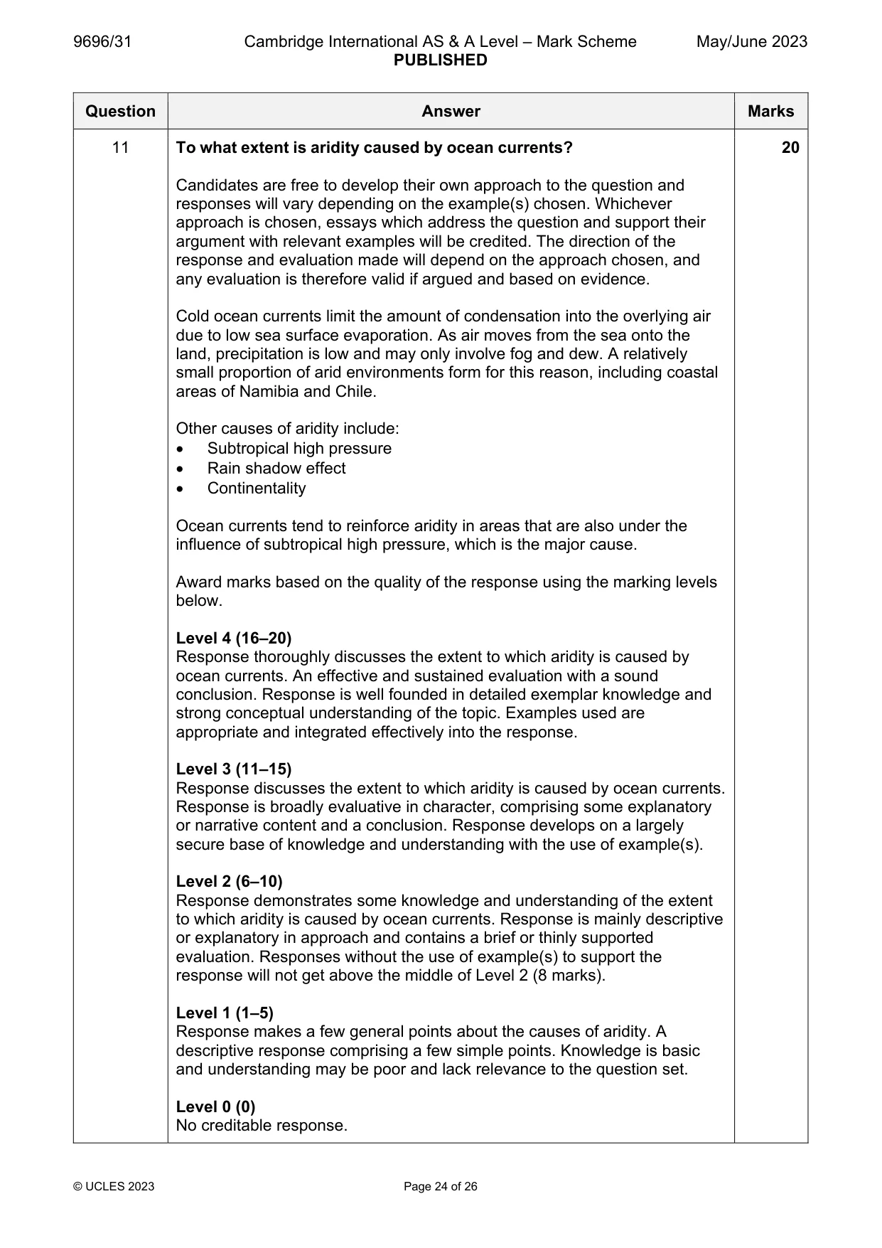
11 To what extent is aridity caused by ocean currents? [20]
Mark scheme: 11 To what extent is aridity caused by ocean currents? 20 Candidates are free to develop their own approach to the question and responses will vary depending on the example(s) chosen. Whichever approach is chosen, essays which address the question and support their argument with relevant examples will be credited. The direction of the response and evaluation made will depend on the approach chosen, and any evaluation is therefore valid if argued and based on evidence. Cold ocean currents limit the amount of condensation into the overlying air due to low sea surface evaporation. As air moves from the sea onto the land, precipitation is low and may only involve fog and dew. A relatively small proportion of arid environments form for this reason, including coastal areas of Namibia and Chile. Other causes of aridity include: Subtropical high pressure Rain shadow effect Continentality Ocean currents tend to reinforce aridity in areas that are also under the influence of subtropical high pressure, which is the major cause. Award marks based on the quality of the response using the marking levels below. Level 4 (16–20) Response thoroughly discusses the extent to which aridity is caused by ocean currents. An effective and sustained evaluation with a sound conclusion. Response is well founded in detailed exemplar knowledge and strong conceptual understanding of the topic. Examples used are appropriate and integrated effectively into the response. Level 3 (11–15) Response discusses the extent to which aridity is caused by ocean currents. Response is broadly evaluative in character, comprising some explanatory or narrative content and a conclusion. Response develops on a largely secure base of knowledge and understanding with the use of example(s). Level 2 (6–10) Response demonstrates some knowledge and understanding of the extent to which aridity is caused by ocean currents. Response is mainly descriptive or explanatory in approach and contains a brief or thinly supported evaluation. Responses without the use of example(s) to support the response will not get above the middle of Level 2 (8 marks). Level 1 (1–5) Response makes a few general points about the causes of aridity. A descriptive response comprising a few simple points. Knowledge is basic and understanding may be poor and lack relevance to the question set. Level 0 (0) No creditable response.
Q12 · Assess the extent to which chemical weathering is the most important weathering process…
12 Assess the extent to which chemical weathering is the most important weathering process in the formation of landforms of hot arid and semi-arid environments. [20]
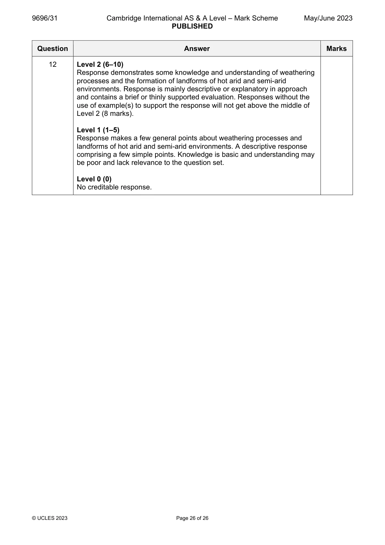
Mark scheme: 12 Assess the extent to which chemical weathering is the most important 20 weathering process in the formation of landforms of hot arid and semi- arid environments. Candidates are free to develop their own approach to the question and responses will vary depending on the example(s) chosen. Whichever approach is chosen, essays which address the question and support their argument with relevant examples will be credited. The direction of the response and evaluation made will depend on the approach chosen, and any evaluation is therefore valid if argued and based on evidence. Chemical weathering processes do contribute to landform formation. Hydration is particularly significant when anhydrite absorbs water and changes to gypsum. However, the limited amounts of water in arid environments mean this is relatively uncommon. It also has a mechanical element due to the pressure exerted as it involves a volume increase. Although the high temperatures act as a catalyst for chemical reactions, the lack of water to act as a medium is a limiting factor. Mechanical processes are more important. Salt crystallisation is important and both sodium sulphate and carbonate expand in high temperatures. Evaporation in high temperatures also causes crystals to form which grow and exert pressure in rock pores, joints and cracks. Thermal fracture, insolation weathering and freeze–thaw are also common. These processes are important in creating sediment which is then used in erosion of landforms such as yardang and zeugen, as well as providing material from subsequent deposition in sand dunes. Award marks based on the quality of the response using the marking levels below. Level 4 (16–20) Response thoroughly discusses whether chemical weathering is the most important weathering process in the formation of landforms of hot arid and semi-arid environments. An effective and sustained evaluation with a sound conclusion. Response is well founded in detailed exemplar knowledge and strong conceptual understanding of the topic. Examples used are appropriate and integrated effectively into the response. Level 3 (11–15) Response discusses whether chemical weathering is the most important weathering process in the formation of landforms of hot arid and semi-arid environments. Response is broadly evaluative in character, comprising some explanatory or narrative content and a conclusion. Response develops on a largely secure base of knowledge and understanding with the use of example(s). 12 Level 2 (6–10) Response demonstrates some knowledge and understanding of weathering processes and the formation of landforms of hot arid and semi-arid environments. Response is mainly descriptive or explanatory in approach and contains a brief or thinly supported evaluation. Responses without the use of example(s) to support the response will not get above the middle of Level 2 (8 marks). Level 1 (1–5) Response makes a few general points about weathering processes and landforms of hot arid and semi-arid environments. A descriptive response comprising a few simple points. Knowledge is basic and understanding may be poor and lack relevance to the question set. Level 0 (0) No creditable response.
What was in this paper
The subtopics covered by these 12 questions, and how many questions each got. Open one in a new tab to see every Cambridge question on it.
2Sustainable management in hazardous environments2Characteristics and formation of coastal landforms1Coastal processes1Hazards resulting from atmospheric disturbances1Hazards resulting from tectonic processes1Hot arid and semi-arid climates1Humid tropical (rainforest) ecosystems and seasonally humid tropical (savanna) ecosystems1Landforms of tropical environments1Tropical climates1What you needed in this session
Cambridge’s own grade thresholds for 2023 May/June, Paper 3 · Variant 1. A higher threshold means an easier paper — the bar moves with how the cohort did.