Cambridge A Level Geography 9696 — 2022 Oct/Nov Paper 3 · Variant 2
9696/32/O/N/22 · 60 marks · ≈68 min
The question paper and its mark scheme, free to read here and free to download. This is Cambridge’s own paper, exactly as it was sat.
Question paper4 pages

Mark scheme26 pages
Answers below. Sit the paper first if you are practising.



Paper as text
Question paper, page 1
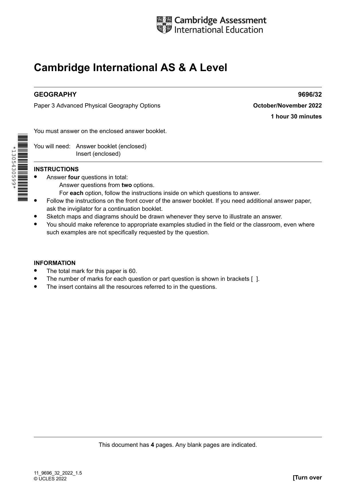
Cambridge International AS & A Level 9696/32 October/November 2022 1 hour 30 minutes GEOGRAPHY Paper 3 Advanced Physical Geography Options You must answer on the enclosed answer booklet. You will need: Answer booklet (enclosed) Insert (enclosed) INSTRUCTIONS • Answer four questions in total: Answer questions from two options. For each option, follow the instructions inside on which questions to answer. • Follow the instructions on the front cover of the answer booklet. If you need additional answer paper, ask the invigilator for a continuation booklet. • Sketch maps and diagrams should be drawn whenever they serve to illustrate an answer. • You should make reference to appropriate examples studied in the field or the classroom, even where such examples are not specifically requested by the question. INFORMATION • The total mark for this paper is 60. • The number of marks for each question or part question is shown in brackets [ ]. • The insert contains all the resources referred to in the questions. This document has 4 pages. Any blank pages are indicated. [Turn over 11_9696_32_2022_1.5 © UCLES 2022 *1305430599*
Question paper, page 2
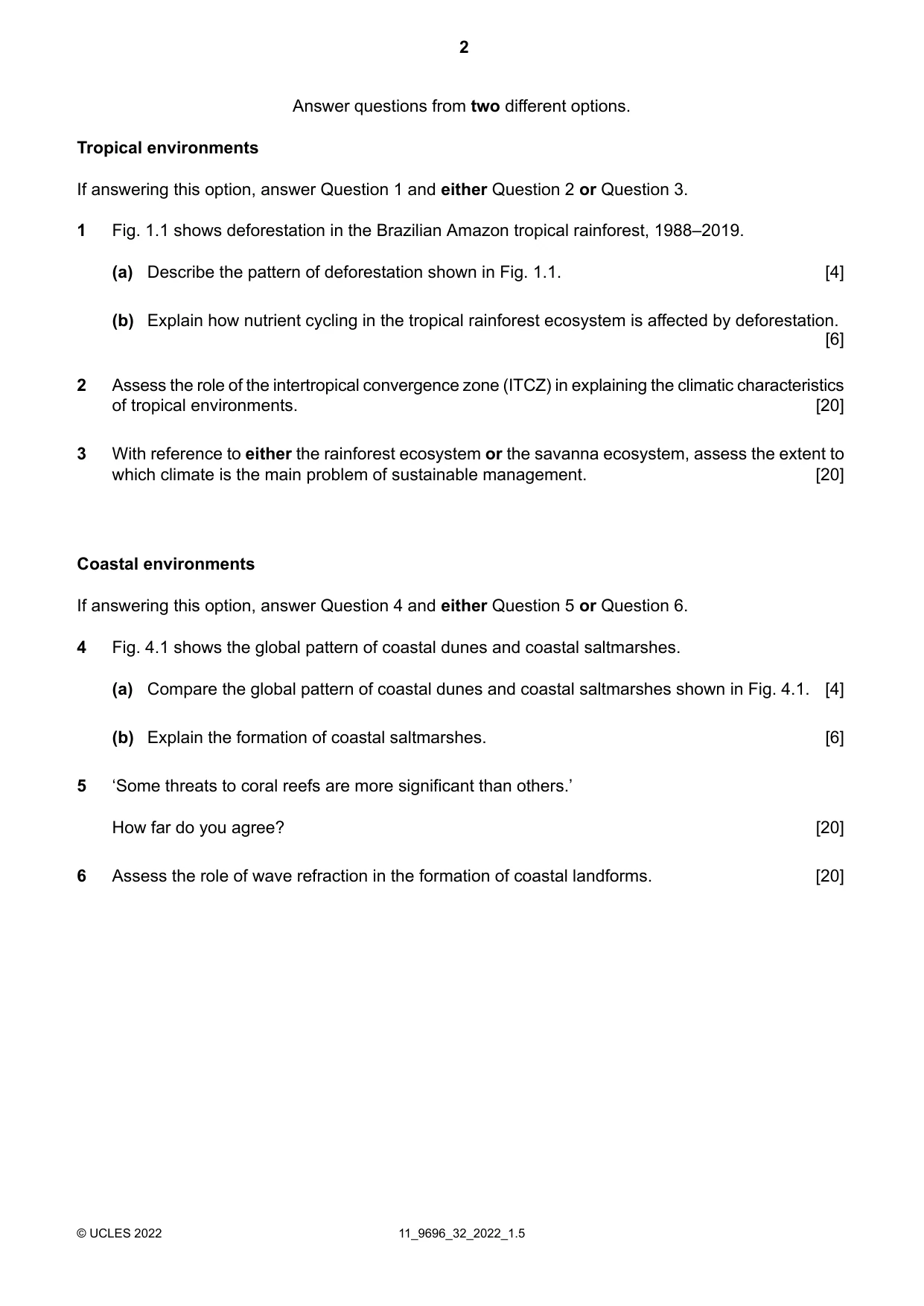
Answer questions from two different options. Tropical environments If answering this option, answer Question 1 and either Question 2 or Question 3. Fig. 1.1 shows deforestation in the Brazilian Amazon tropical rainforest, 1988–2019. 1 Describe the pattern of deforestation shown in Fig. 1.1. [4] (a) Explain how nutrient cycling in the tropical rainforest ecosystem is affected by deforestation. [6] (b) Assess the role of the intertropical convergence zone (ITCZ) in explaining the climatic characteristics of tropical environments. [20] 2 With reference to either the rainforest ecosystem or the savanna ecosystem, assess the extent to which climate is the main problem of sustainable management. [20] 3 Coastal environments If answering this option, answer Question 4 and either Question 5 or Question 6. Fig. 4.1 shows the global pattern of coastal dunes and coastal saltmarshes. 4 Compare the global pattern of coastal dunes and coastal saltmarshes shown in Fig. 4.1. [4] (a) Explain the formation of coastal saltmarshes. [6] (b) ‘Some threats to coral reefs are more significant than others.’ How far do you agree? [20] 5 Assess the role of wave refraction in the formation of coastal landforms. [20] 6 11_9696_32_2022_1.5 © UCLES 2022 2
Question paper, page 3
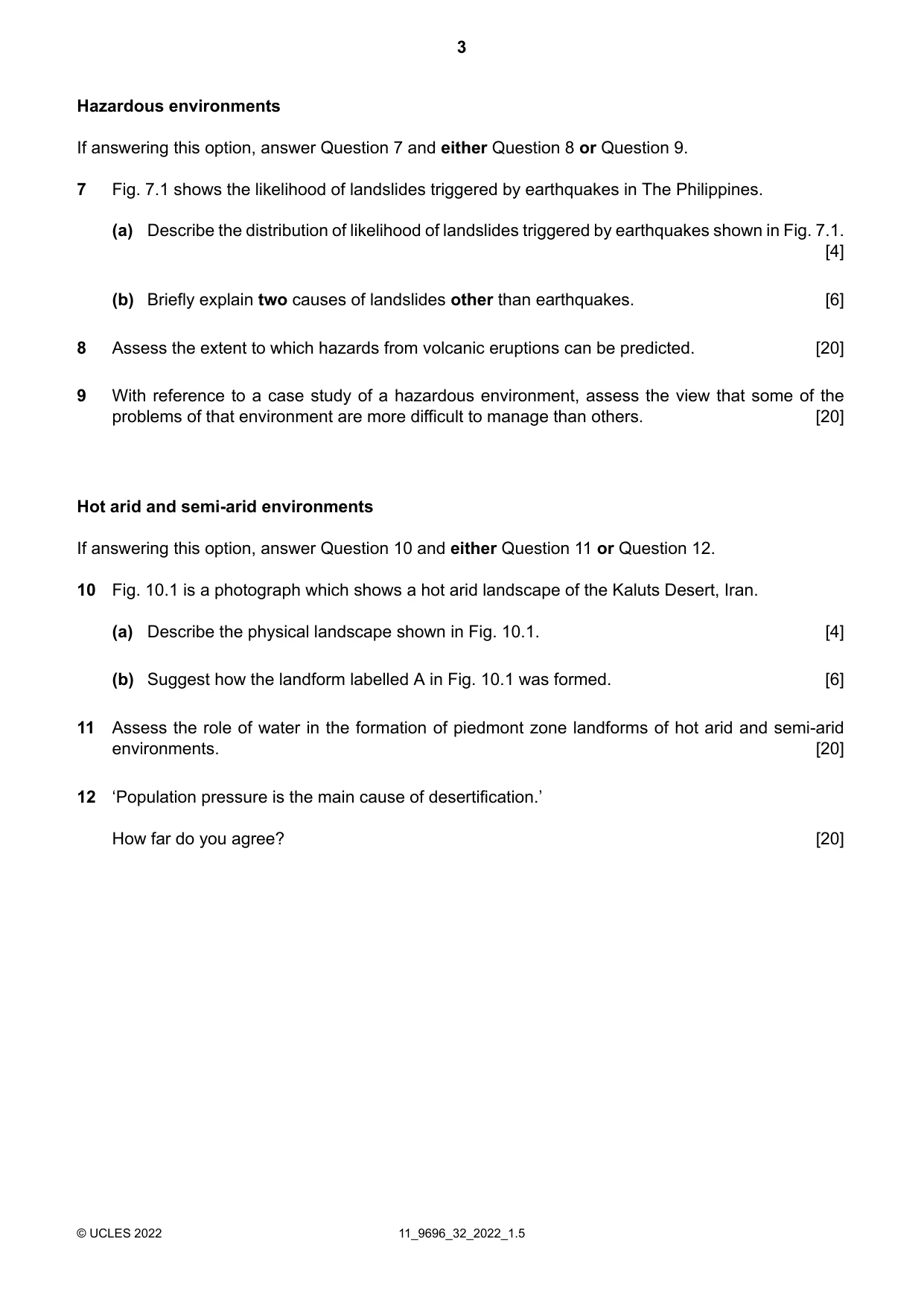
Hazardous environments If answering this option, answer Question 7 and either Question 8 or Question 9. Fig. 7.1 shows the likelihood of landslides triggered by earthquakes in The Philippines. 7 Describe the distribution of likelihood of landslides triggered by earthquakes shown in Fig. 7.1. [4] (a) Briefly explain two causes of landslides other than earthquakes. [6] (b) Assess the extent to which hazards from volcanic eruptions can be predicted. [20] 8 With reference to a case study of a hazardous environment, assess the view that some of the problems of that environment are more difficult to manage than others. [20] 9 Hot arid and semi-arid environments If answering this option, answer Question 10 and either Question 11 or Question 12. Fig. 10.1 is a photograph which shows a hot arid landscape of the Kaluts Desert, Iran. 10 Describe the physical landscape shown in Fig. 10.1. [4] (a) Suggest how the landform labelled A in Fig. 10.1 was formed. [6] (b) Assess the role of water in the formation of piedmont zone landforms of hot arid and semi-arid environments. [20] 11 ‘Population pressure is the main cause of desertification.’ How far do you agree? [20] 12 11_9696_32_2022_1.5 © UCLES 2022 3
Question paper, page 4
BLANK PAGE The boundaries and names shown, the designations used and the presentation of material on any maps contained in this question paper/insert do not imply official endorsement or acceptance by Cambridge Assessment International Education concerning the legal status of any country, territory, or area or any of its authorities, or of the delimitation of its frontiers or boundaries. Permission to reproduce items where third-party owned material protected by copyright is included has been sought and cleared where possible. Every reasonable effort has been made by the publisher (UCLES) to trace copyright holders, but if any items requiring clearance have unwittingly been included, the publisher will be pleased to make amends at the earliest possible opportunity. To avoid the issue of disclosure of answer-related information to candidates, all copyright acknowledgements are reproduced online in the Cambridge Assessment International Education Copyright Acknowledgements Booklet. This is produced for each series of examinations and is freely available to download at www.cambridgeinternational.org after the live examination series. Cambridge Assessment International Education is part of Cambridge Assessment. Cambridge Assessment is the brand name of the University of Cambridge Local Examinations Syndicate (UCLES), which is a department of the University of Cambridge. 11_9696_32_2022_1.5 © UCLES 2022 4
Mark scheme, page 1
This document consists of 26 printed pages. © UCLES 2022 [Turn over Cambridge International AS & A Level GEOGRAPHY 9696/32 Paper 3 Advanced Physical Geography Options October/November 2022 MARK SCHEME Maximum Mark: 60 Published This mark scheme is published as an aid to teachers and candidates, to indicate the requirements of the examination. It shows the basis on which Examiners were instructed to award marks. It does not indicate the details of the discussions that took place at an Examiners’ meeting before marking began, which would have considered the acceptability of alternative answers. Mark schemes should be read in conjunction with the question paper and the Principal Examiner Report for Teachers. Cambridge International will not enter into discussions about these mark schemes. Cambridge International is publishing the mark schemes for the October/November 2022 series for most Cambridge IGCSE™, Cambridge International A and AS Level components and some Cambridge O Level components.
Mark scheme, page 2
9696/32 Cambridge International AS & A Level – Mark Scheme PUBLISHED October/November 2022 © UCLES 2022 Page 2 of 26 Generic Marking Principles These general marking principles must be applied by all examiners when marking candidate answers. They should be applied alongside the specific content of the mark scheme or generic level descriptors for a question. Each question paper and mark scheme will also comply with these marking principles. GENERIC MARKING PRINCIPLE 1: Marks must be awarded in line with: • the specific content of the mark scheme or the generic level descriptors for the question • the specific skills defined in the mark scheme or in the generic level descriptors for the question • the standard of response required by a candidate as exemplified by the standardisation scripts. GENERIC MARKING PRINCIPLE 2: Marks awarded are always whole marks (not half marks, or other fractions). GENERIC MARKING PRINCIPLE 3: Marks must be awarded positively: • marks are awarded for correct/valid answers, as defined in the mark scheme. However, credit is given for valid answers which go beyond the scope of the syllabus and mark scheme, referring to your Team Leader as appropriate • marks are awarded when candidates clearly demonstrate what they know and can do • marks are not deducted for errors • marks are not deducted for omissions • answers should only be judged on the quality of spelling, punctuation and grammar when these features are specifically assessed by the question as indicated by the mark scheme. The meaning, however, should be unambiguous. GENERIC MARKING PRINCIPLE 4: Rules must be applied consistently, e.g. in situations where candidates have not followed instructions or in the application of generic level descriptors. GENERIC MARKING PRINCIPLE 5: Marks should be awarded using the full range of marks defined in the mark scheme for the question (however; the use of the full mark range may be limited according to the quality of the candidate responses seen). GENERIC MARKING PRINCIPLE 6: Marks awarded are based solely on the requirements as defined in the mark scheme. Marks should not be awarded with grade thresholds or grade descriptors in mind.
Mark scheme, page 3
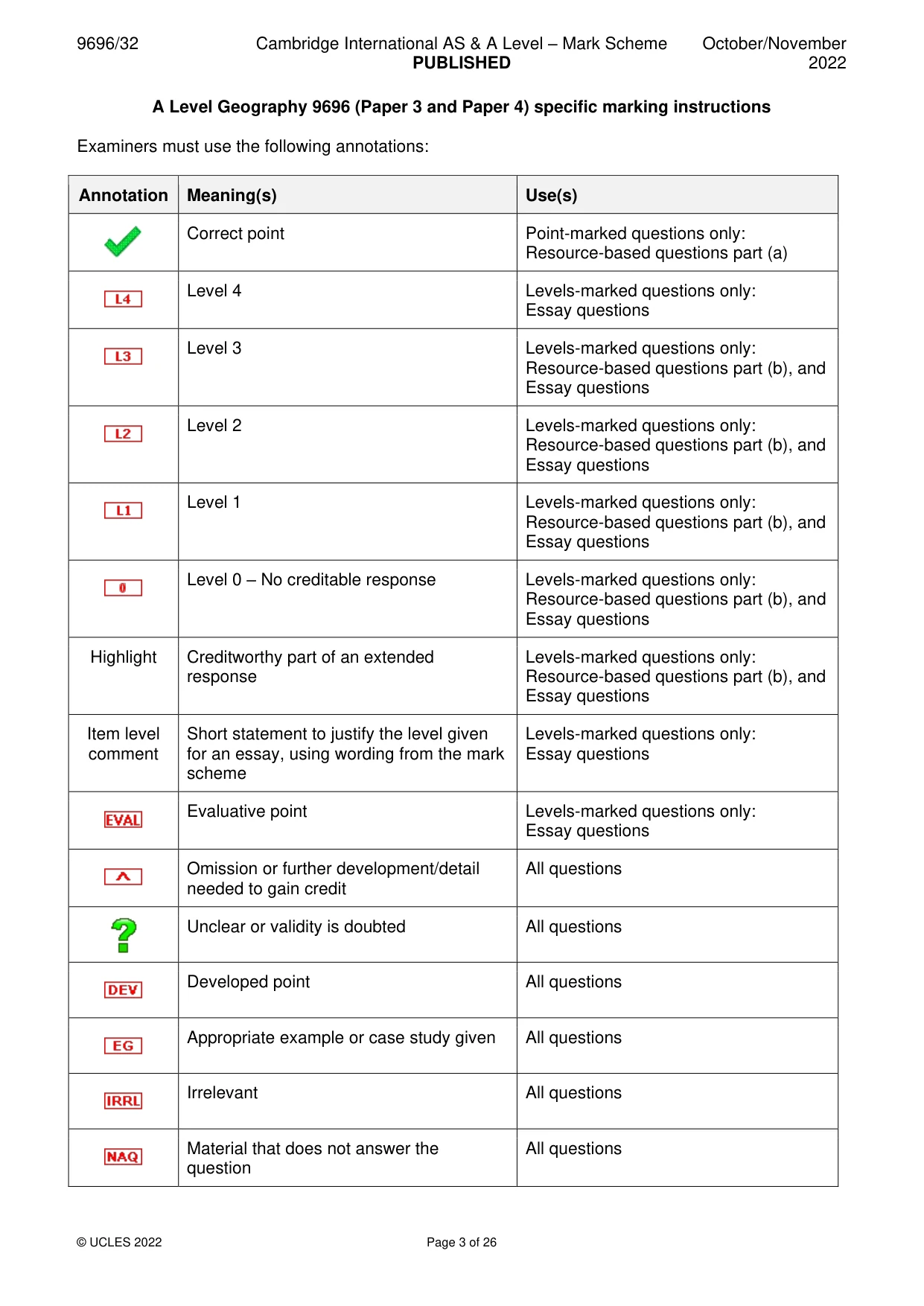
9696/32 Cambridge International AS & A Level – Mark Scheme PUBLISHED October/November 2022 © UCLES 2022 Page 3 of 26 A Level Geography 9696 (Paper 3 and Paper 4) specific marking instructions Examiners must use the following annotations: Annotation Meaning(s) Use(s) Correct point Point-marked questions only: Resource-based questions part (a) Level 4 Levels-marked questions only: Essay questions Level 3 Levels-marked questions only: Resource-based questions part (b), and Essay questions Level 2 Levels-marked questions only: Resource-based questions part (b), and Essay questions Level 1 Levels-marked questions only: Resource-based questions part (b), and Essay questions Level 0 – No creditable response Levels-marked questions only: Resource-based questions part (b), and Essay questions Highlight Creditworthy part of an extended response Levels-marked questions only: Resource-based questions part (b), and Essay questions Item level comment Short statement to justify the level given for an essay, using wording from the mark scheme Levels-marked questions only: Essay questions Evaluative point Levels-marked questions only: Essay questions Omission or further development/detail needed to gain credit All questions Unclear or validity is doubted All questions Developed point All questions Appropriate example or case study given All questions Irrelevant All questions Material that does not answer the question All questions
Mark scheme, page 4
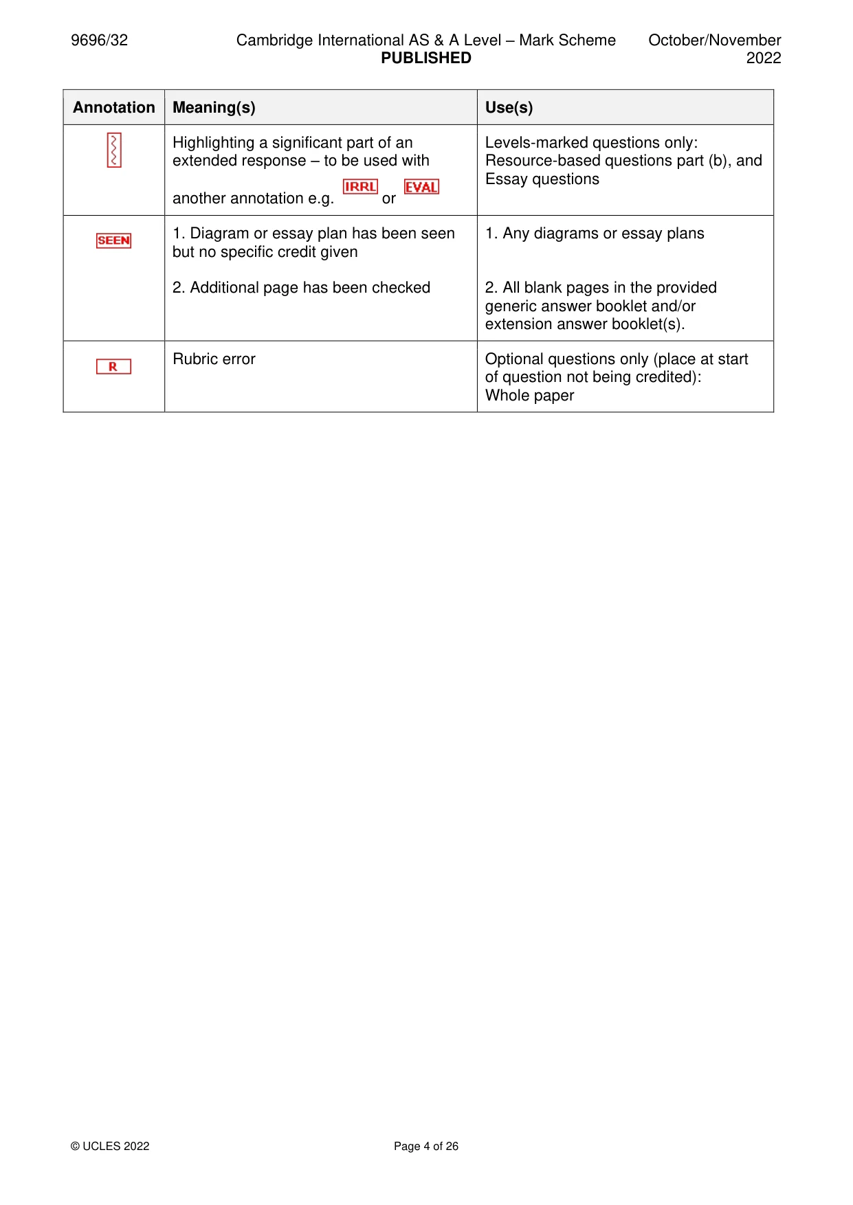
9696/32 Cambridge International AS & A Level – Mark Scheme PUBLISHED October/November 2022 © UCLES 2022 Page 4 of 26 Annotation Meaning(s) Use(s) Highlighting a significant part of an extended response – to be used with another annotation e.g. or Levels-marked questions only: Resource-based questions part (b), and Essay questions 1. Diagram or essay plan has been seen but no specific credit given 2. Additional page has been checked 1. Any diagrams or essay plans 2. All blank pages in the provided generic answer booklet and/or extension answer booklet(s). Rubric error Optional questions only (place at start of question not being credited): Whole paper
Mark scheme, page 5
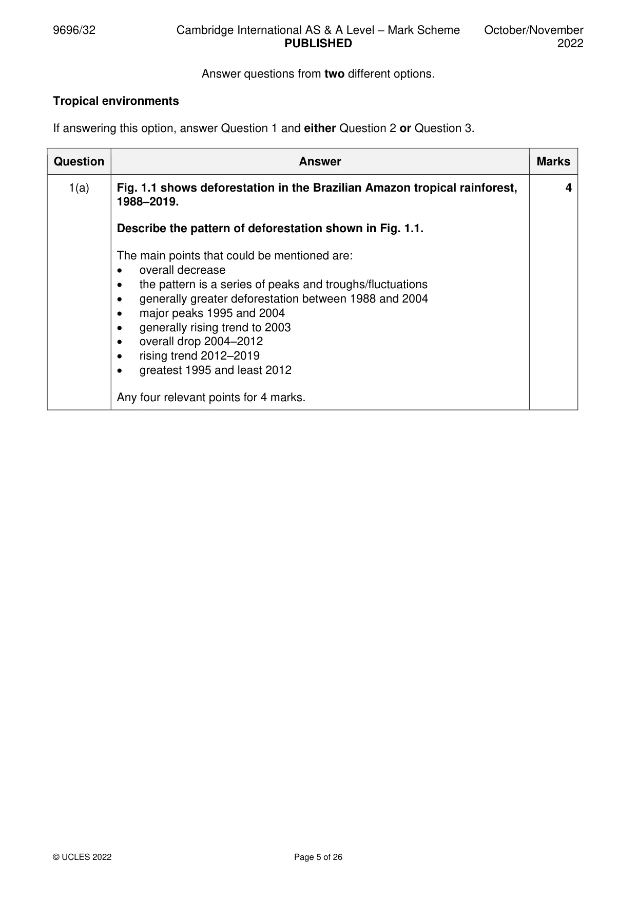
9696/32 Cambridge International AS & A Level – Mark Scheme PUBLISHED October/November 2022 © UCLES 2022 Page 5 of 26 Answer questions from two different options. Tropical environments If answering this option, answer Question 1 and either Question 2 or Question 3. Question Answer Marks 1(a) Fig. 1.1 shows deforestation in the Brazilian Amazon tropical rainforest, 1988–2019. Describe the pattern of deforestation shown in Fig. 1.1. The main points that could be mentioned are: • overall decrease • the pattern is a series of peaks and troughs/fluctuations • generally greater deforestation between 1988 and 2004 • major peaks 1995 and 2004 • generally rising trend to 2003 • overall drop 2004–2012 • rising trend 2012–2019 • greatest 1995 and least 2012 Any four relevant points for 4 marks. 4
Mark scheme, page 6
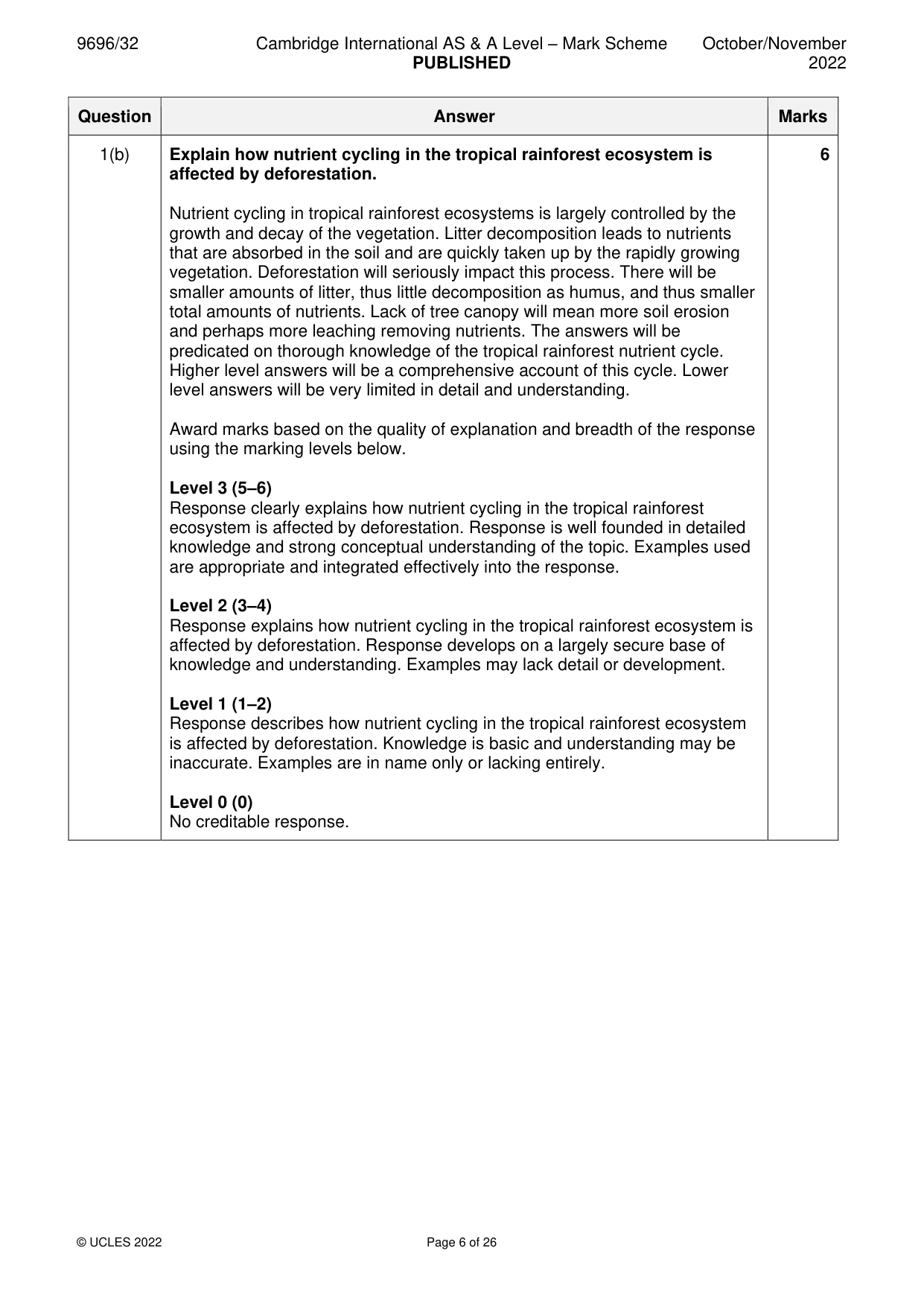
9696/32 Cambridge International AS & A Level – Mark Scheme PUBLISHED October/November 2022 © UCLES 2022 Page 6 of 26 Question Answer Marks 1(b) Explain how nutrient cycling in the tropical rainforest ecosystem is affected by deforestation. Nutrient cycling in tropical rainforest ecosystems is largely controlled by the growth and decay of the vegetation. Litter decomposition leads to nutrients that are absorbed in the soil and are quickly taken up by the rapidly growing vegetation. Deforestation will seriously impact this process. There will be smaller amounts of litter, thus little decomposition as humus, and thus smaller total amounts of nutrients. Lack of tree canopy will mean more soil erosion and perhaps more leaching removing nutrients. The answers will be predicated on thorough knowledge of the tropical rainforest nutrient cycle. Higher level answers will be a comprehensive account of this cycle. Lower level answers will be very limited in detail and understanding. Award marks based on the quality of explanation and breadth of the response using the marking levels below. Level 3 (5–6) Response clearly explains how nutrient cycling in the tropical rainforest ecosystem is affected by deforestation. Response is well founded in detailed knowledge and strong conceptual understanding of the topic. Examples used are appropriate and integrated effectively into the response. Level 2 (3–4) Response explains how nutrient cycling in the tropical rainforest ecosystem is affected by deforestation. Response develops on a largely secure base of knowledge and understanding. Examples may lack detail or development. Level 1 (1–2) Response describes how nutrient cycling in the tropical rainforest ecosystem is affected by deforestation. Knowledge is basic and understanding may be inaccurate. Examples are in name only or lacking entirely. Level 0 (0) No creditable response. 6
Mark scheme, page 7
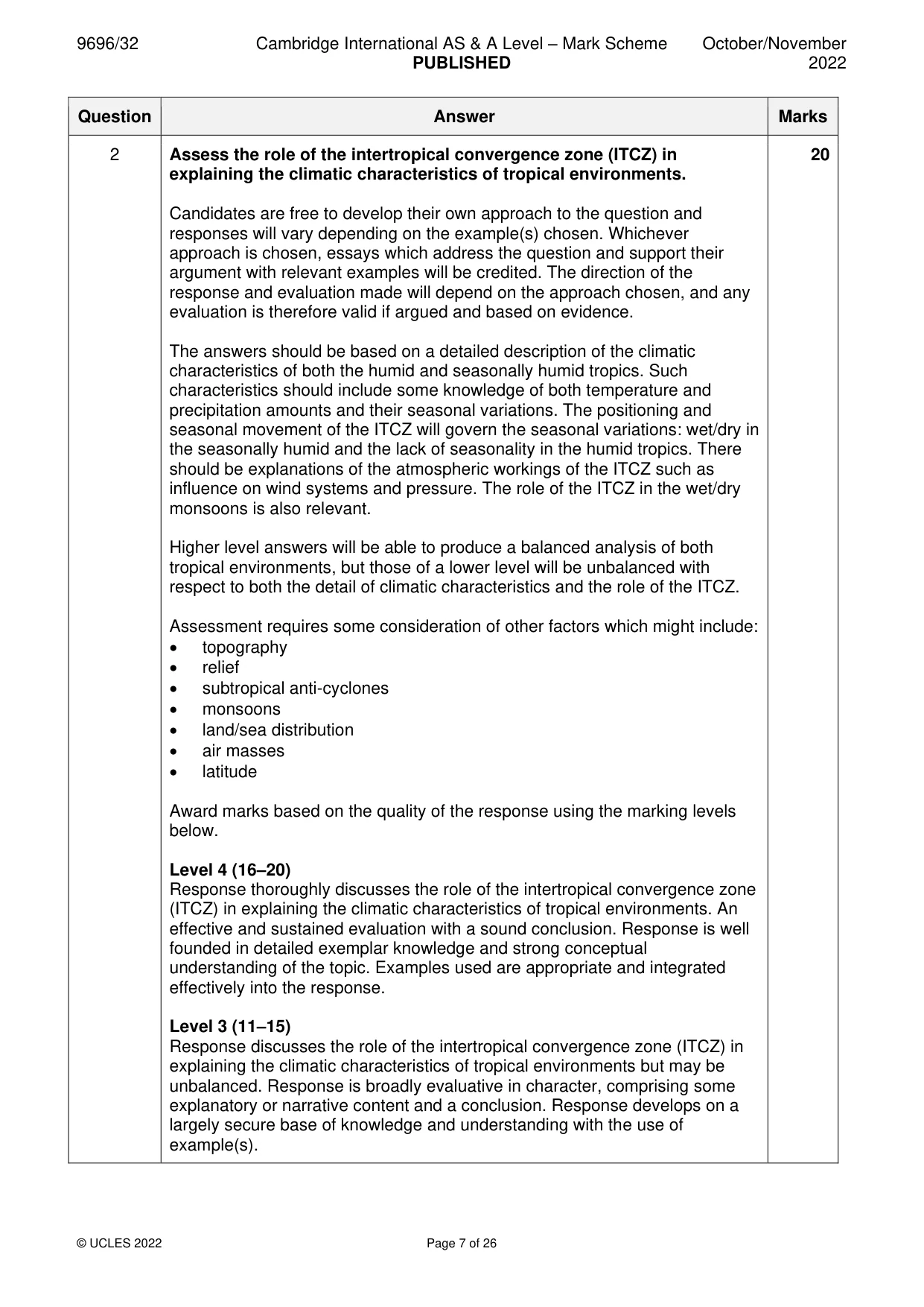
9696/32 Cambridge International AS & A Level – Mark Scheme PUBLISHED October/November 2022 © UCLES 2022 Page 7 of 26 Question Answer Marks 2 Assess the role of the intertropical convergence zone (ITCZ) in explaining the climatic characteristics of tropical environments. Candidates are free to develop their own approach to the question and responses will vary depending on the example(s) chosen. Whichever approach is chosen, essays which address the question and support their argument with relevant examples will be credited. The direction of the response and evaluation made will depend on the approach chosen, and any evaluation is therefore valid if argued and based on evidence. The answers should be based on a detailed description of the climatic characteristics of both the humid and seasonally humid tropics. Such characteristics should include some knowledge of both temperature and precipitation amounts and their seasonal variations. The positioning and seasonal movement of the ITCZ will govern the seasonal variations: wet/dry in the seasonally humid and the lack of seasonality in the humid tropics. There should be explanations of the atmospheric workings of the ITCZ such as influence on wind systems and pressure. The role of the ITCZ in the wet/dry monsoons is also relevant. Higher level answers will be able to produce a balanced analysis of both tropical environments, but those of a lower level will be unbalanced with respect to both the detail of climatic characteristics and the role of the ITCZ. Assessment requires some consideration of other factors which might include: • topography • relief • subtropical anti-cyclones • monsoons • land/sea distribution • air masses • latitude Award marks based on the quality of the response using the marking levels below. Level 4 (16–20) Response thoroughly discusses the role of the intertropical convergence zone (ITCZ) in explaining the climatic characteristics of tropical environments. An effective and sustained evaluation with a sound conclusion. Response is well founded in detailed exemplar knowledge and strong conceptual understanding of the topic. Examples used are appropriate and integrated effectively into the response. Level 3 (11–15) Response discusses the role of the intertropical convergence zone (ITCZ) in explaining the climatic characteristics of tropical environments but may be unbalanced. Response is broadly evaluative in character, comprising some explanatory or narrative content and a conclusion. Response develops on a largely secure base of knowledge and understanding with the use of example(s). 20
Mark scheme, page 8
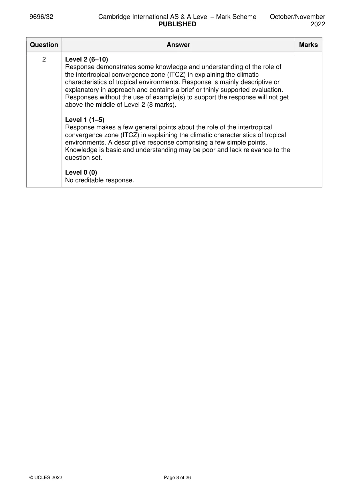
9696/32 Cambridge International AS & A Level – Mark Scheme PUBLISHED October/November 2022 © UCLES 2022 Page 8 of 26 Question Answer Marks 2 Level 2 (6–10) Response demonstrates some knowledge and understanding of the role of the intertropical convergence zone (ITCZ) in explaining the climatic characteristics of tropical environments. Response is mainly descriptive or explanatory in approach and contains a brief or thinly supported evaluation. Responses without the use of example(s) to support the response will not get above the middle of Level 2 (8 marks). Level 1 (1–5) Response makes a few general points about the role of the intertropical convergence zone (ITCZ) in explaining the climatic characteristics of tropical environments. A descriptive response comprising a few simple points. Knowledge is basic and understanding may be poor and lack relevance to the question set. Level 0 (0) No creditable response.
Mark scheme, page 9
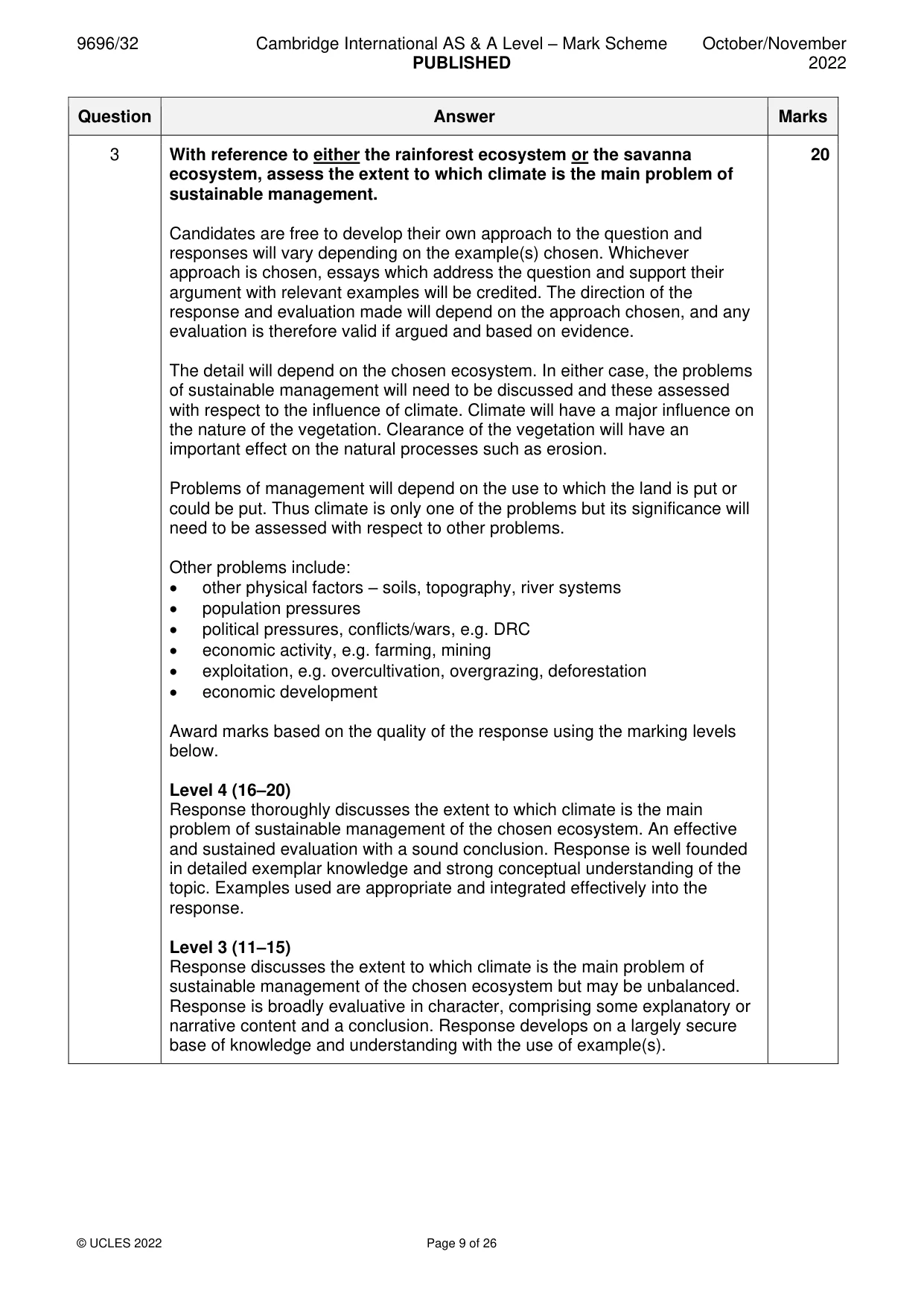
9696/32 Cambridge International AS & A Level – Mark Scheme PUBLISHED October/November 2022 © UCLES 2022 Page 9 of 26 Question Answer Marks 3 With reference to either the rainforest ecosystem or the savanna ecosystem, assess the extent to which climate is the main problem of sustainable management. Candidates are free to develop their own approach to the question and responses will vary depending on the example(s) chosen. Whichever approach is chosen, essays which address the question and support their argument with relevant examples will be credited. The direction of the response and evaluation made will depend on the approach chosen, and any evaluation is therefore valid if argued and based on evidence. The detail will depend on the chosen ecosystem. In either case, the problems of sustainable management will need to be discussed and these assessed with respect to the influence of climate. Climate will have a major influence on the nature of the vegetation. Clearance of the vegetation will have an important effect on the natural processes such as erosion. Problems of management will depend on the use to which the land is put or could be put. Thus climate is only one of the problems but its significance will need to be assessed with respect to other problems. Other problems include: • other physical factors – soils, topography, river systems • population pressures • political pressures, conflicts/wars, e.g. DRC • economic activity, e.g. farming, mining • exploitation, e.g. overcultivation, overgrazing, deforestation • economic development Award marks based on the quality of the response using the marking levels below. Level 4 (16–20) Response thoroughly discusses the extent to which climate is the main problem of sustainable management of the chosen ecosystem. An effective and sustained evaluation with a sound conclusion. Response is well founded in detailed exemplar knowledge and strong conceptual understanding of the topic. Examples used are appropriate and integrated effectively into the response. Level 3 (11–15) Response discusses the extent to which climate is the main problem of sustainable management of the chosen ecosystem but may be unbalanced. Response is broadly evaluative in character, comprising some explanatory or narrative content and a conclusion. Response develops on a largely secure base of knowledge and understanding with the use of example(s). 20
Mark scheme, page 10
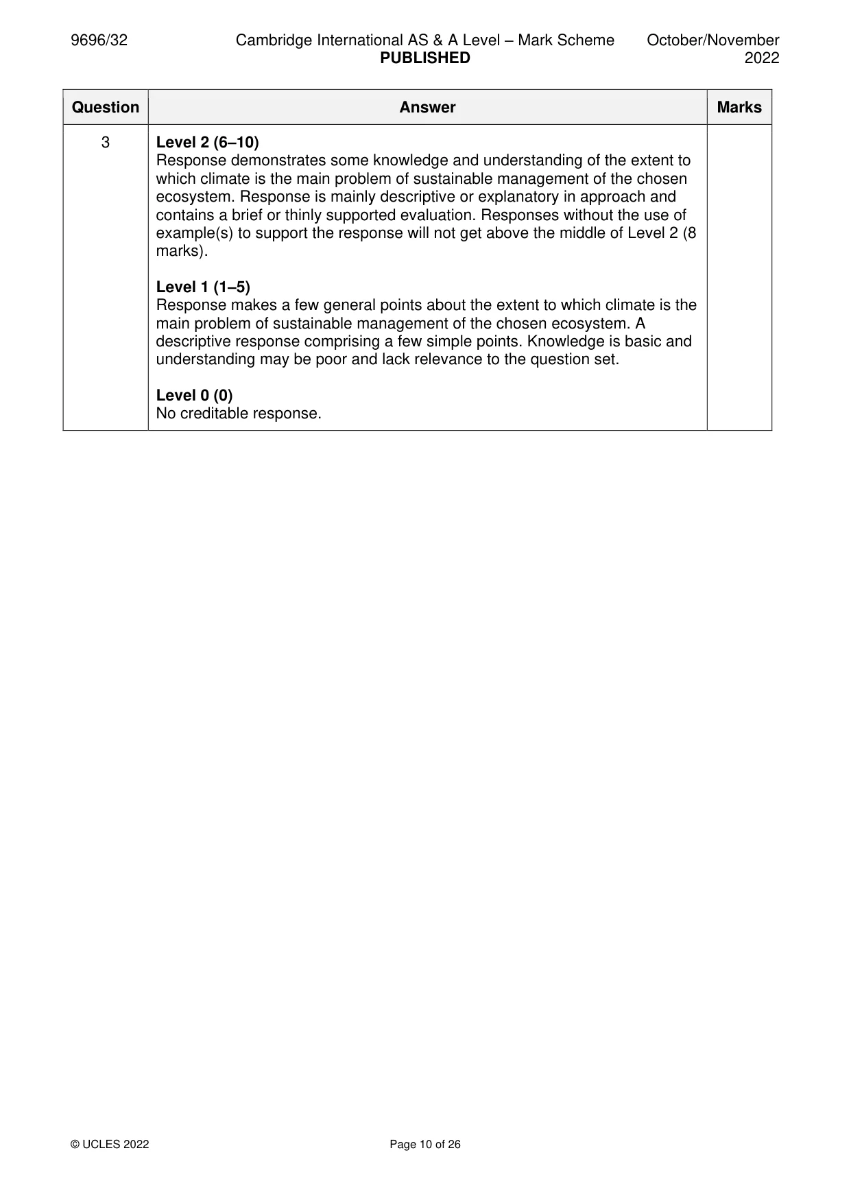
9696/32 Cambridge International AS & A Level – Mark Scheme PUBLISHED October/November 2022 © UCLES 2022 Page 10 of 26 Question Answer Marks 3 Level 2 (6–10) Response demonstrates some knowledge and understanding of the extent to which climate is the main problem of sustainable management of the chosen ecosystem. Response is mainly descriptive or explanatory in approach and contains a brief or thinly supported evaluation. Responses without the use of example(s) to support the response will not get above the middle of Level 2 (8 marks). Level 1 (1–5) Response makes a few general points about the extent to which climate is the main problem of sustainable management of the chosen ecosystem. A descriptive response comprising a few simple points. Knowledge is basic and understanding may be poor and lack relevance to the question set. Level 0 (0) No creditable response.
Mark scheme, page 11
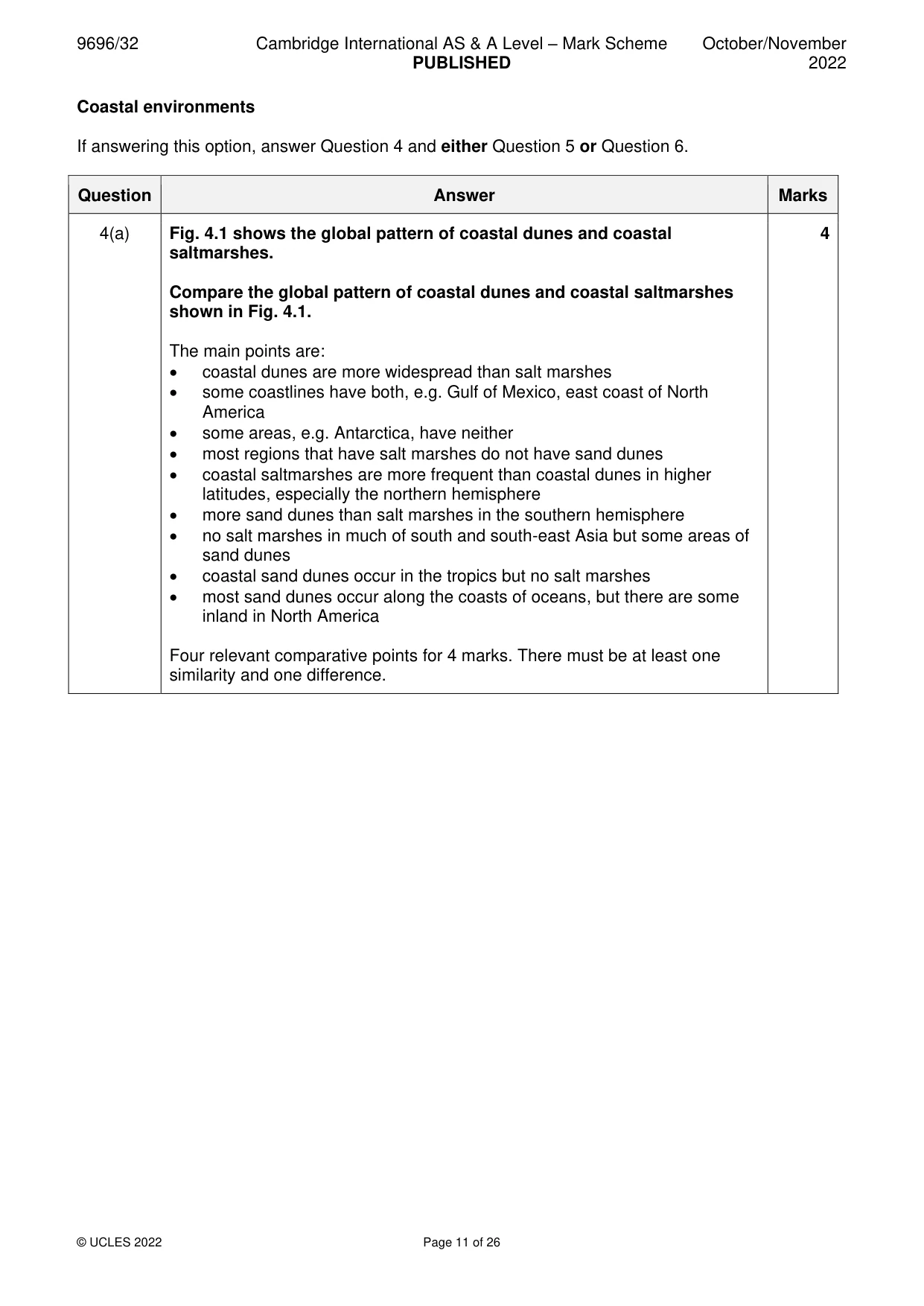
9696/32 Cambridge International AS & A Level – Mark Scheme PUBLISHED October/November 2022 © UCLES 2022 Page 11 of 26 Coastal environments If answering this option, answer Question 4 and either Question 5 or Question 6. Question Answer Marks 4(a) Fig. 4.1 shows the global pattern of coastal dunes and coastal saltmarshes. Compare the global pattern of coastal dunes and coastal saltmarshes shown in Fig. 4.1. The main points are: • coastal dunes are more widespread than salt marshes • some coastlines have both, e.g. Gulf of Mexico, east coast of North America • some areas, e.g. Antarctica, have neither • most regions that have salt marshes do not have sand dunes • coastal saltmarshes are more frequent than coastal dunes in higher latitudes, especially the northern hemisphere • more sand dunes than salt marshes in the southern hemisphere • no salt marshes in much of south and south-east Asia but some areas of sand dunes • coastal sand dunes occur in the tropics but no salt marshes • most sand dunes occur along the coasts of oceans, but there are some inland in North America Four relevant comparative points for 4 marks. There must be at least one similarity and one difference. 4
Mark scheme, page 12
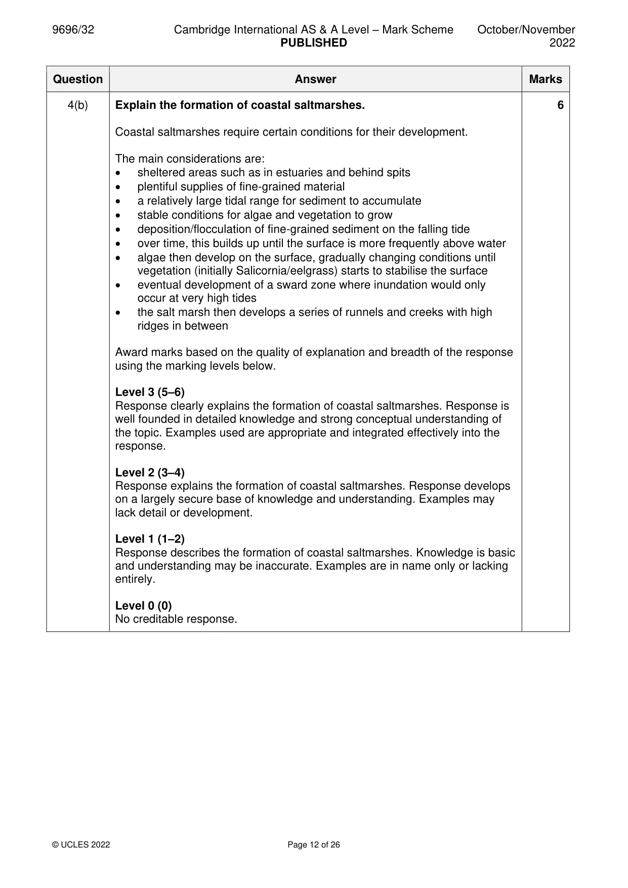
9696/32 Cambridge International AS & A Level – Mark Scheme PUBLISHED October/November 2022 © UCLES 2022 Page 12 of 26 Question Answer Marks 4(b) Explain the formation of coastal saltmarshes. Coastal saltmarshes require certain conditions for their development. The main considerations are: • sheltered areas such as in estuaries and behind spits • plentiful supplies of fine-grained material • a relatively large tidal range for sediment to accumulate • stable conditions for algae and vegetation to grow • deposition/flocculation of fine-grained sediment on the falling tide • over time, this builds up until the surface is more frequently above water • algae then develop on the surface, gradually changing conditions until vegetation (initially Salicornia/eelgrass) starts to stabilise the surface • eventual development of a sward zone where inundation would only occur at very high tides • the salt marsh then develops a series of runnels and creeks with high ridges in between Award marks based on the quality of explanation and breadth of the response using the marking levels below. Level 3 (5–6) Response clearly explains the formation of coastal saltmarshes. Response is well founded in detailed knowledge and strong conceptual understanding of the topic. Examples used are appropriate and integrated effectively into the response. Level 2 (3–4) Response explains the formation of coastal saltmarshes. Response develops on a largely secure base of knowledge and understanding. Examples may lack detail or development. Level 1 (1–2) Response describes the formation of coastal saltmarshes. Knowledge is basic and understanding may be inaccurate. Examples are in name only or lacking entirely. Level 0 (0) No creditable response. 6
Mark scheme, page 13
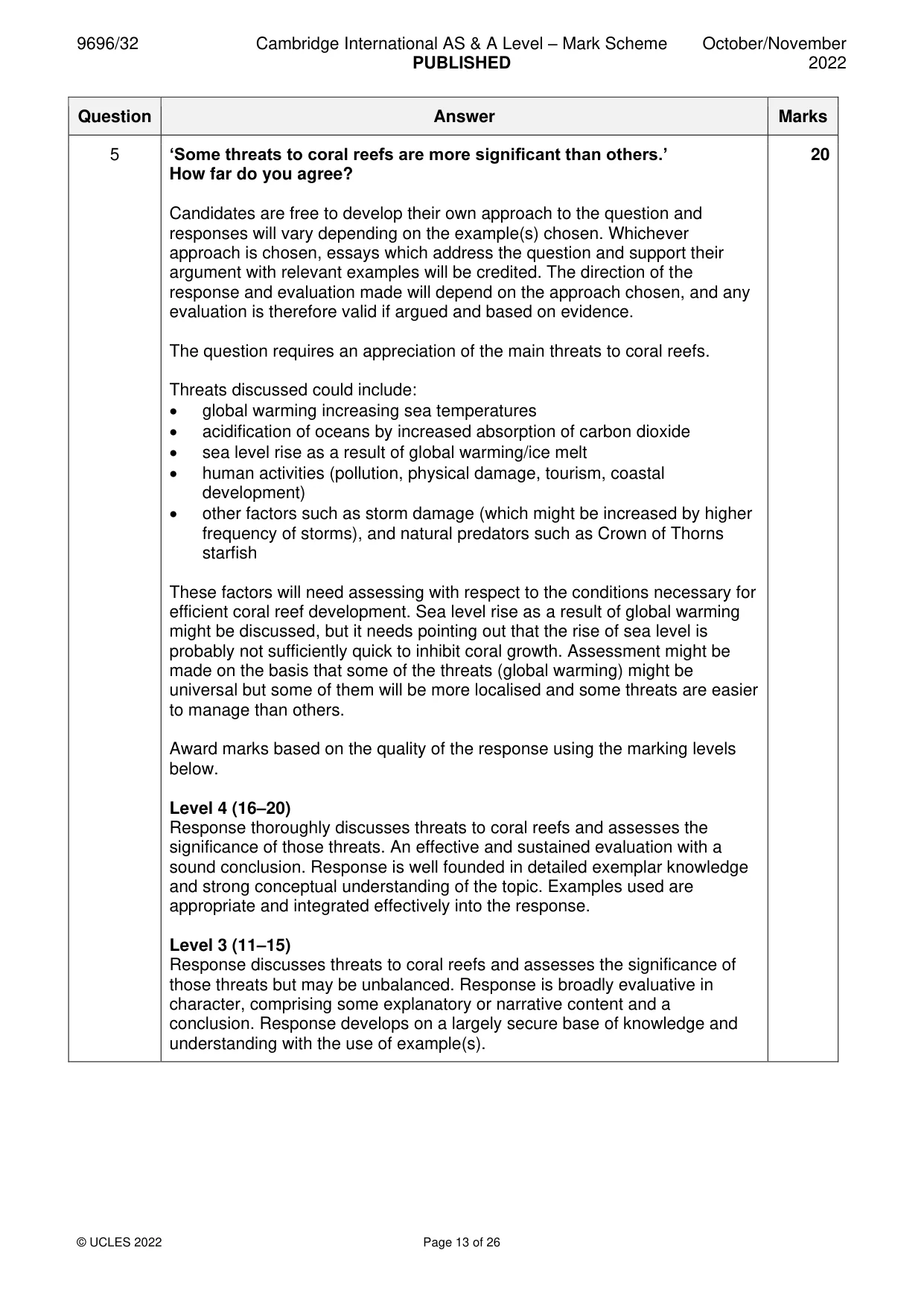
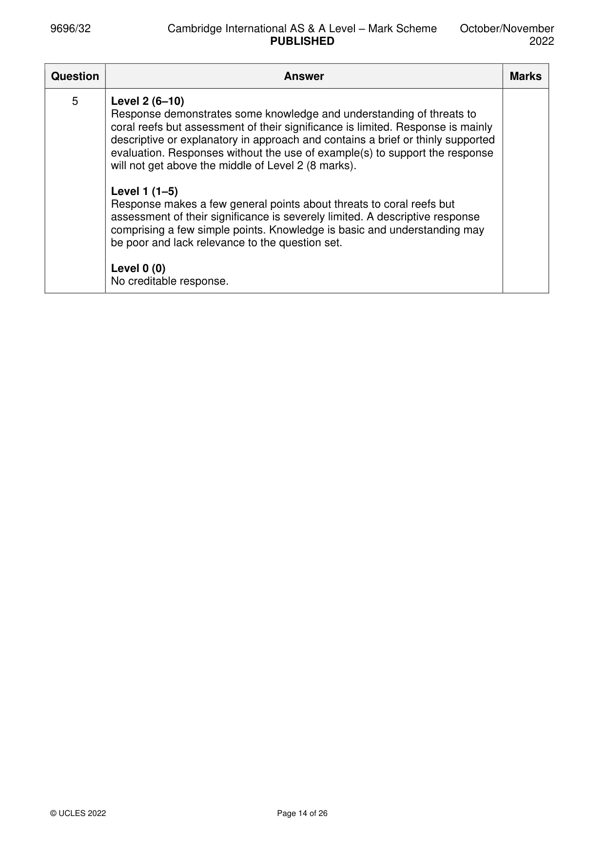
9696/32 Cambridge International AS & A Level – Mark Scheme PUBLISHED October/November 2022 © UCLES 2022 Page 13 of 26 Question Answer Marks 5 ‘Some threats to coral reefs are more significant than others.’ How far do you agree? Candidates are free to develop their own approach to the question and responses will vary depending on the example(s) chosen. Whichever approach is chosen, essays which address the question and support their argument with relevant examples will be credited. The direction of the response and evaluation made will depend on the approach chosen, and any evaluation is therefore valid if argued and based on evidence. The question requires an appreciation of the main threats to coral reefs. Threats discussed could include: • global warming increasing sea temperatures • acidification of oceans by increased absorption of carbon dioxide • sea level rise as a result of global warming/ice melt • human activities (pollution, physical damage, tourism, coastal development) • other factors such as storm damage (which might be increased by higher frequency of storms), and natural predators such as Crown of Thorns starfish These factors will need assessing with respect to the conditions necessary for efficient coral reef development. Sea level rise as a result of global warming might be discussed, but it needs pointing out that the rise of sea level is probably not sufficiently quick to inhibit coral growth. Assessment might be made on the basis that some of the threats (global warming) might be universal but some of them will be more localised and some threats are easier to manage than others. Award marks based on the quality of the response using the marking levels below. Level 4 (16–20) Response thoroughly discusses threats to coral reefs and assesses the significance of those threats. An effective and sustained evaluation with a sound conclusion. Response is well founded in detailed exemplar knowledge and strong conceptual understanding of the topic. Examples used are appropriate and integrated effectively into the response. Level 3 (11–15) Response discusses threats to coral reefs and assesses the significance of those threats but may be unbalanced. Response is broadly evaluative in character, comprising some explanatory or narrative content and a conclusion. Response develops on a largely secure base of knowledge and understanding with the use of example(s). 20
Mark scheme, page 14
9696/32 Cambridge International AS & A Level – Mark Scheme PUBLISHED October/November 2022 © UCLES 2022 Page 14 of 26 Question Answer Marks 5 Level 2 (6–10) Response demonstrates some knowledge and understanding of threats to coral reefs but assessment of their significance is limited. Response is mainly descriptive or explanatory in approach and contains a brief or thinly supported evaluation. Responses without the use of example(s) to support the response will not get above the middle of Level 2 (8 marks). Level 1 (1–5) Response makes a few general points about threats to coral reefs but assessment of their significance is severely limited. A descriptive response comprising a few simple points. Knowledge is basic and understanding may be poor and lack relevance to the question set. Level 0 (0) No creditable response.
Mark scheme, page 15
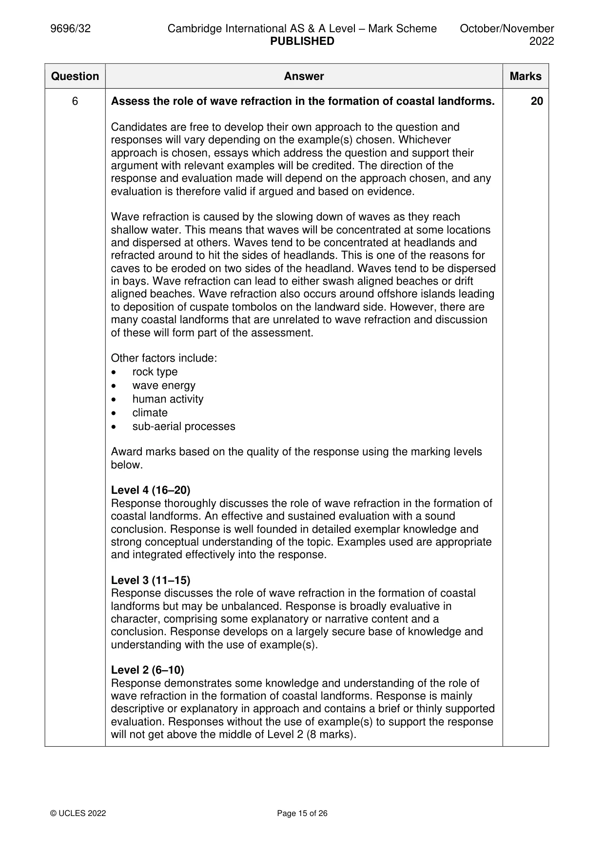
9696/32 Cambridge International AS & A Level – Mark Scheme PUBLISHED October/November 2022 © UCLES 2022 Page 15 of 26 Question Answer Marks 6 Assess the role of wave refraction in the formation of coastal landforms. Candidates are free to develop their own approach to the question and responses will vary depending on the example(s) chosen. Whichever approach is chosen, essays which address the question and support their argument with relevant examples will be credited. The direction of the response and evaluation made will depend on the approach chosen, and any evaluation is therefore valid if argued and based on evidence. Wave refraction is caused by the slowing down of waves as they reach shallow water. This means that waves will be concentrated at some locations and dispersed at others. Waves tend to be concentrated at headlands and refracted around to hit the sides of headlands. This is one of the reasons for caves to be eroded on two sides of the headland. Waves tend to be dispersed in bays. Wave refraction can lead to either swash aligned beaches or drift aligned beaches. Wave refraction also occurs around offshore islands leading to deposition of cuspate tombolos on the landward side. However, there are many coastal landforms that are unrelated to wave refraction and discussion of these will form part of the assessment. Other factors include: • rock type • wave energy • human activity • climate • sub-aerial processes Award marks based on the quality of the response using the marking levels below. Level 4 (16–20) Response thoroughly discusses the role of wave refraction in the formation of coastal landforms. An effective and sustained evaluation with a sound conclusion. Response is well founded in detailed exemplar knowledge and strong conceptual understanding of the topic. Examples used are appropriate and integrated effectively into the response. Level 3 (11–15) Response discusses the role of wave refraction in the formation of coastal landforms but may be unbalanced. Response is broadly evaluative in character, comprising some explanatory or narrative content and a conclusion. Response develops on a largely secure base of knowledge and understanding with the use of example(s). Level 2 (6–10) Response demonstrates some knowledge and understanding of the role of wave refraction in the formation of coastal landforms. Response is mainly descriptive or explanatory in approach and contains a brief or thinly supported evaluation. Responses without the use of example(s) to support the response will not get above the middle of Level 2 (8 marks). 20
Mark scheme, page 16
9696/32 Cambridge International AS & A Level – Mark Scheme PUBLISHED October/November 2022 © UCLES 2022 Page 16 of 26 Question Answer Marks 6 Level 1 (1–5) Response makes a few general points about the role of wave refraction in the formation of coastal landforms. A descriptive response comprising a few simple points. Knowledge is basic and understanding may be poor and lack relevance to the question set. Level 0 (0) No creditable response.
Mark scheme, page 17
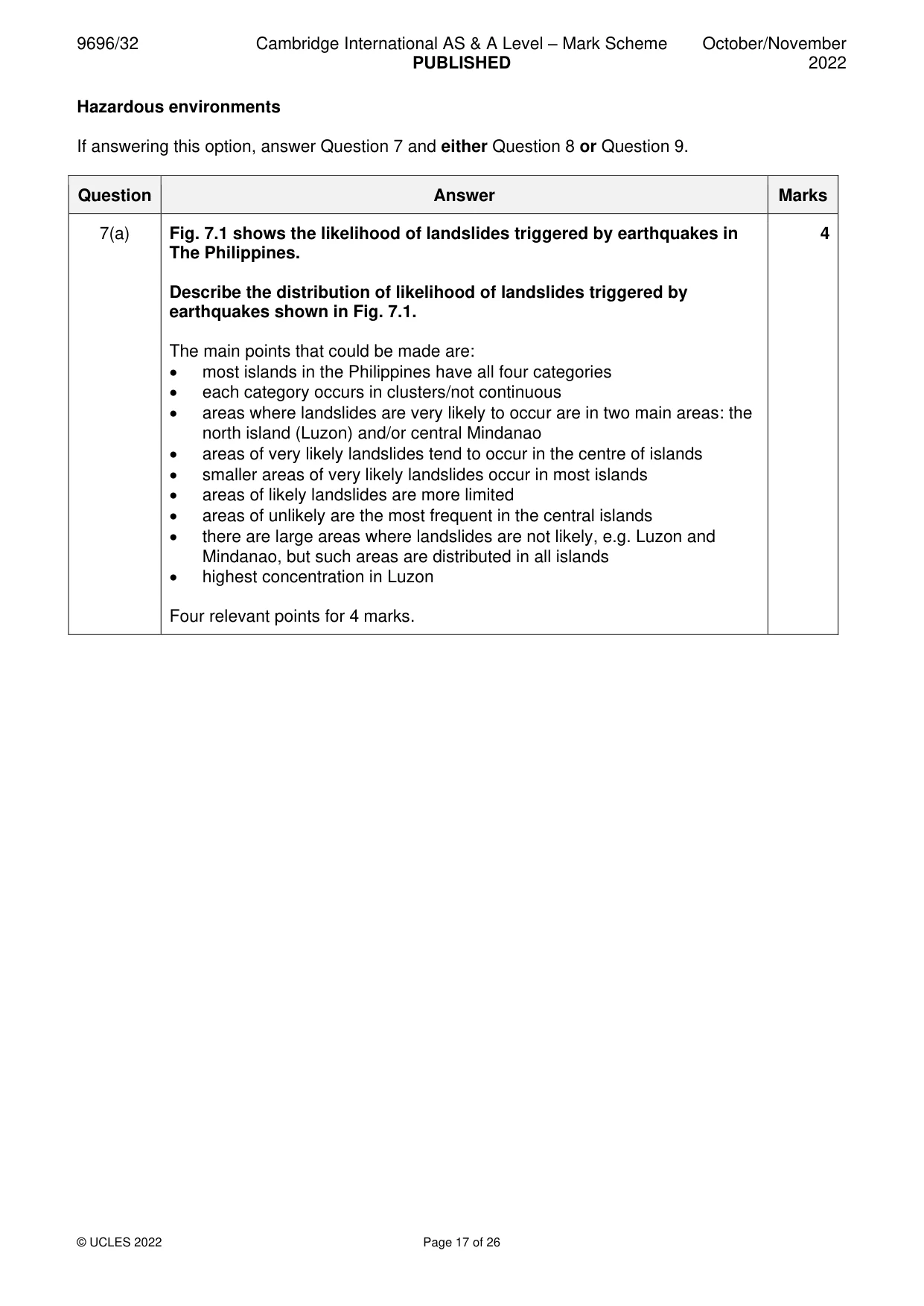
9696/32 Cambridge International AS & A Level – Mark Scheme PUBLISHED October/November 2022 © UCLES 2022 Page 17 of 26 Hazardous environments If answering this option, answer Question 7 and either Question 8 or Question 9. Question Answer Marks 7(a) Fig. 7.1 shows the likelihood of landslides triggered by earthquakes in The Philippines. Describe the distribution of likelihood of landslides triggered by earthquakes shown in Fig. 7.1. The main points that could be made are: • most islands in the Philippines have all four categories • each category occurs in clusters/not continuous • areas where landslides are very likely to occur are in two main areas: the north island (Luzon) and/or central Mindanao • areas of very likely landslides tend to occur in the centre of islands • smaller areas of very likely landslides occur in most islands • areas of likely landslides are more limited • areas of unlikely are the most frequent in the central islands • there are large areas where landslides are not likely, e.g. Luzon and Mindanao, but such areas are distributed in all islands • highest concentration in Luzon Four relevant points for 4 marks. 4
Mark scheme, page 18
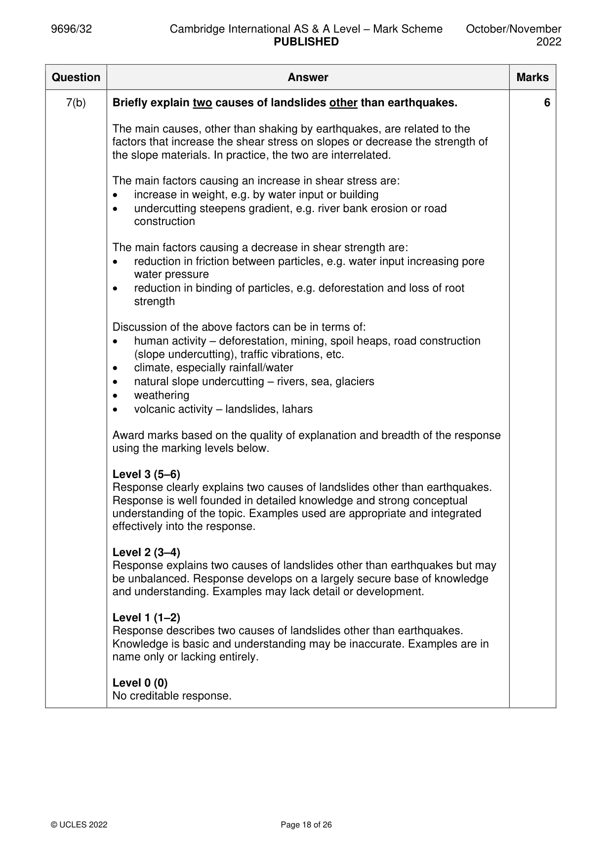
9696/32 Cambridge International AS & A Level – Mark Scheme PUBLISHED October/November 2022 © UCLES 2022 Page 18 of 26 Question Answer Marks 7(b) Briefly explain two causes of landslides other than earthquakes. The main causes, other than shaking by earthquakes, are related to the factors that increase the shear stress on slopes or decrease the strength of the slope materials. In practice, the two are interrelated. The main factors causing an increase in shear stress are: • increase in weight, e.g. by water input or building • undercutting steepens gradient, e.g. river bank erosion or road construction The main factors causing a decrease in shear strength are: • reduction in friction between particles, e.g. water input increasing pore water pressure • reduction in binding of particles, e.g. deforestation and loss of root strength Discussion of the above factors can be in terms of: • human activity – deforestation, mining, spoil heaps, road construction (slope undercutting), traffic vibrations, etc. • climate, especially rainfall/water • natural slope undercutting – rivers, sea, glaciers • weathering • volcanic activity – landslides, lahars Award marks based on the quality of explanation and breadth of the response using the marking levels below. Level 3 (5–6) Response clearly explains two causes of landslides other than earthquakes. Response is well founded in detailed knowledge and strong conceptual understanding of the topic. Examples used are appropriate and integrated effectively into the response. Level 2 (3–4) Response explains two causes of landslides other than earthquakes but may be unbalanced. Response develops on a largely secure base of knowledge and understanding. Examples may lack detail or development. Level 1 (1–2) Response describes two causes of landslides other than earthquakes. Knowledge is basic and understanding may be inaccurate. Examples are in name only or lacking entirely. Level 0 (0) No creditable response. 6
Mark scheme, page 19
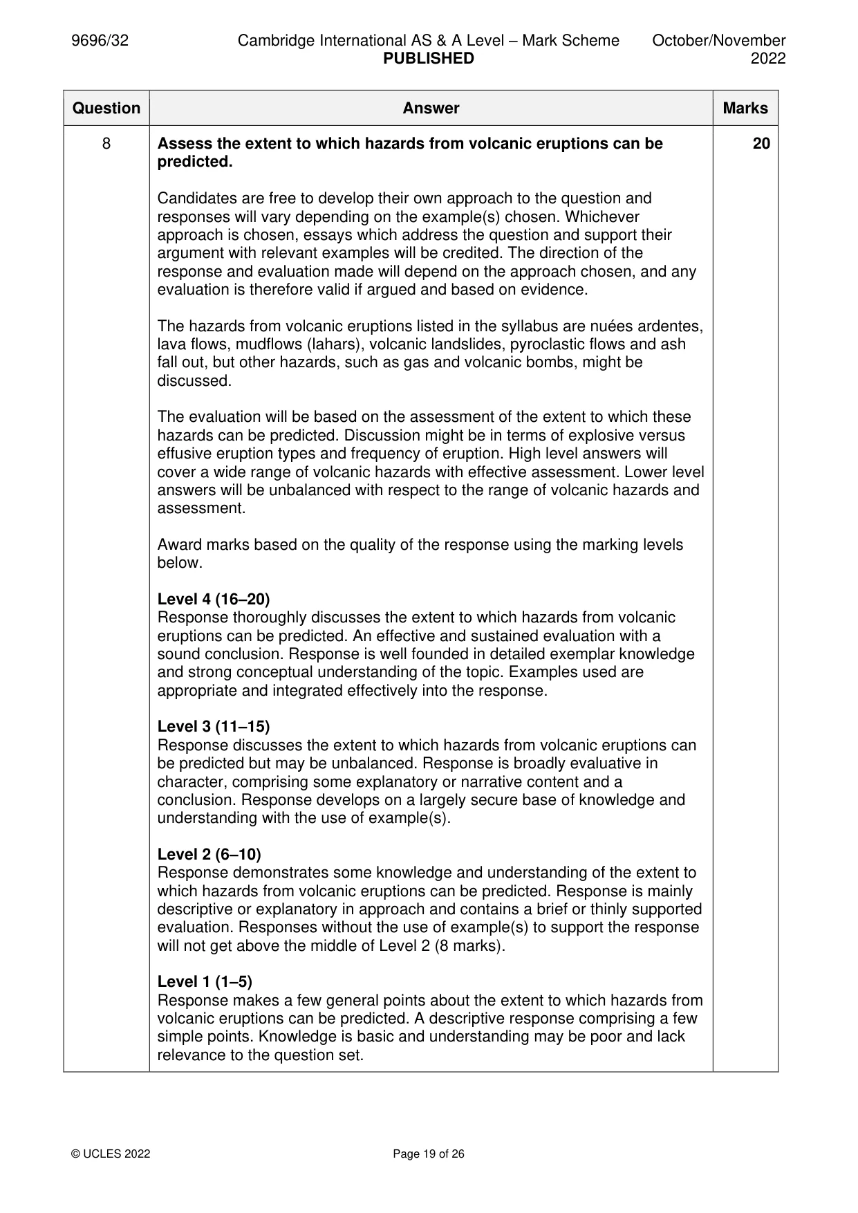
9696/32 Cambridge International AS & A Level – Mark Scheme PUBLISHED October/November 2022 © UCLES 2022 Page 19 of 26 Question Answer Marks 8 Assess the extent to which hazards from volcanic eruptions can be predicted. Candidates are free to develop their own approach to the question and responses will vary depending on the example(s) chosen. Whichever approach is chosen, essays which address the question and support their argument with relevant examples will be credited. The direction of the response and evaluation made will depend on the approach chosen, and any evaluation is therefore valid if argued and based on evidence. The hazards from volcanic eruptions listed in the syllabus are nuées ardentes, lava flows, mudflows (lahars), volcanic landslides, pyroclastic flows and ash fall out, but other hazards, such as gas and volcanic bombs, might be discussed. The evaluation will be based on the assessment of the extent to which these hazards can be predicted. Discussion might be in terms of explosive versus effusive eruption types and frequency of eruption. High level answers will cover a wide range of volcanic hazards with effective assessment. Lower level answers will be unbalanced with respect to the range of volcanic hazards and assessment. Award marks based on the quality of the response using the marking levels below. Level 4 (16–20) Response thoroughly discusses the extent to which hazards from volcanic eruptions can be predicted. An effective and sustained evaluation with a sound conclusion. Response is well founded in detailed exemplar knowledge and strong conceptual understanding of the topic. Examples used are appropriate and integrated effectively into the response. Level 3 (11–15) Response discusses the extent to which hazards from volcanic eruptions can be predicted but may be unbalanced. Response is broadly evaluative in character, comprising some explanatory or narrative content and a conclusion. Response develops on a largely secure base of knowledge and understanding with the use of example(s). Level 2 (6–10) Response demonstrates some knowledge and understanding of the extent to which hazards from volcanic eruptions can be predicted. Response is mainly descriptive or explanatory in approach and contains a brief or thinly supported evaluation. Responses without the use of example(s) to support the response will not get above the middle of Level 2 (8 marks). Level 1 (1–5) Response makes a few general points about the extent to which hazards from volcanic eruptions can be predicted. A descriptive response comprising a few simple points. Knowledge is basic and understanding may be poor and lack relevance to the question set. 20
Mark scheme, page 20
9696/32 Cambridge International AS & A Level – Mark Scheme PUBLISHED October/November 2022 © UCLES 2022 Page 20 of 26 Question Answer Marks 8 Level 0 (0) No creditable response.
Mark scheme, page 21
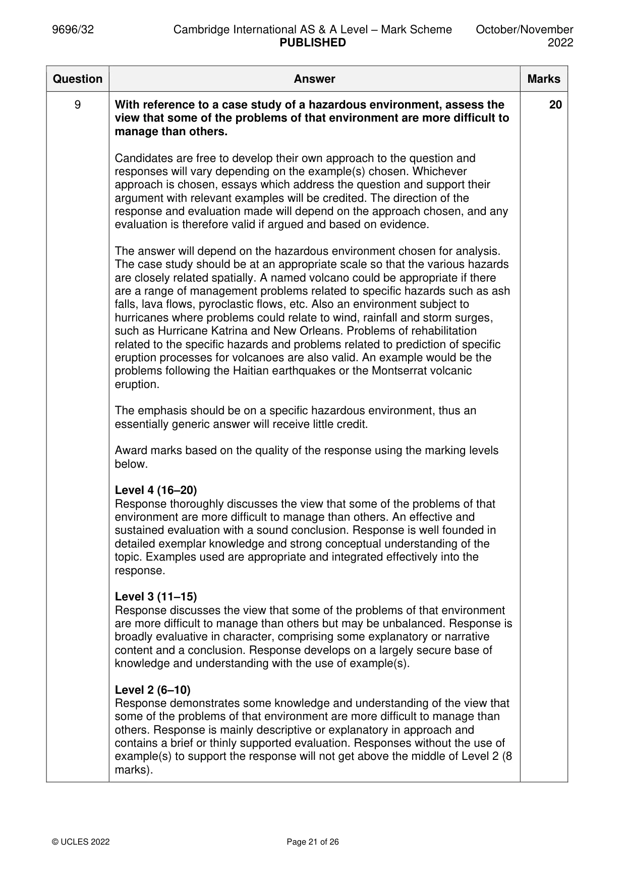
9696/32 Cambridge International AS & A Level – Mark Scheme PUBLISHED October/November 2022 © UCLES 2022 Page 21 of 26 Question Answer Marks 9 With reference to a case study of a hazardous environment, assess the view that some of the problems of that environment are more difficult to manage than others. Candidates are free to develop their own approach to the question and responses will vary depending on the example(s) chosen. Whichever approach is chosen, essays which address the question and support their argument with relevant examples will be credited. The direction of the response and evaluation made will depend on the approach chosen, and any evaluation is therefore valid if argued and based on evidence. The answer will depend on the hazardous environment chosen for analysis. The case study should be at an appropriate scale so that the various hazards are closely related spatially. A named volcano could be appropriate if there are a range of management problems related to specific hazards such as ash falls, lava flows, pyroclastic flows, etc. Also an environment subject to hurricanes where problems could relate to wind, rainfall and storm surges, such as Hurricane Katrina and New Orleans. Problems of rehabilitation related to the specific hazards and problems related to prediction of specific eruption processes for volcanoes are also valid. An example would be the problems following the Haitian earthquakes or the Montserrat volcanic eruption. The emphasis should be on a specific hazardous environment, thus an essentially generic answer will receive little credit. Award marks based on the quality of the response using the marking levels below. Level 4 (16–20) Response thoroughly discusses the view that some of the problems of that environment are more difficult to manage than others. An effective and sustained evaluation with a sound conclusion. Response is well founded in detailed exemplar knowledge and strong conceptual understanding of the topic. Examples used are appropriate and integrated effectively into the response. Level 3 (11–15) Response discusses the view that some of the problems of that environment are more difficult to manage than others but may be unbalanced. Response is broadly evaluative in character, comprising some explanatory or narrative content and a conclusion. Response develops on a largely secure base of knowledge and understanding with the use of example(s). Level 2 (6–10) Response demonstrates some knowledge and understanding of the view that some of the problems of that environment are more difficult to manage than others. Response is mainly descriptive or explanatory in approach and contains a brief or thinly supported evaluation. Responses without the use of example(s) to support the response will not get above the middle of Level 2 (8 marks). 20
Mark scheme, page 22
9696/32 Cambridge International AS & A Level – Mark Scheme PUBLISHED October/November 2022 © UCLES 2022 Page 22 of 26 Question Answer Marks 9 Level 1 (1–5) Response makes a few general points about the view that some of the problems of that environment are more difficult to manage than others. A descriptive response comprising a few simple points. Knowledge is basic and understanding may be poor and lack relevance to the question set. Level 0 (0) No creditable response.
Mark scheme, page 23
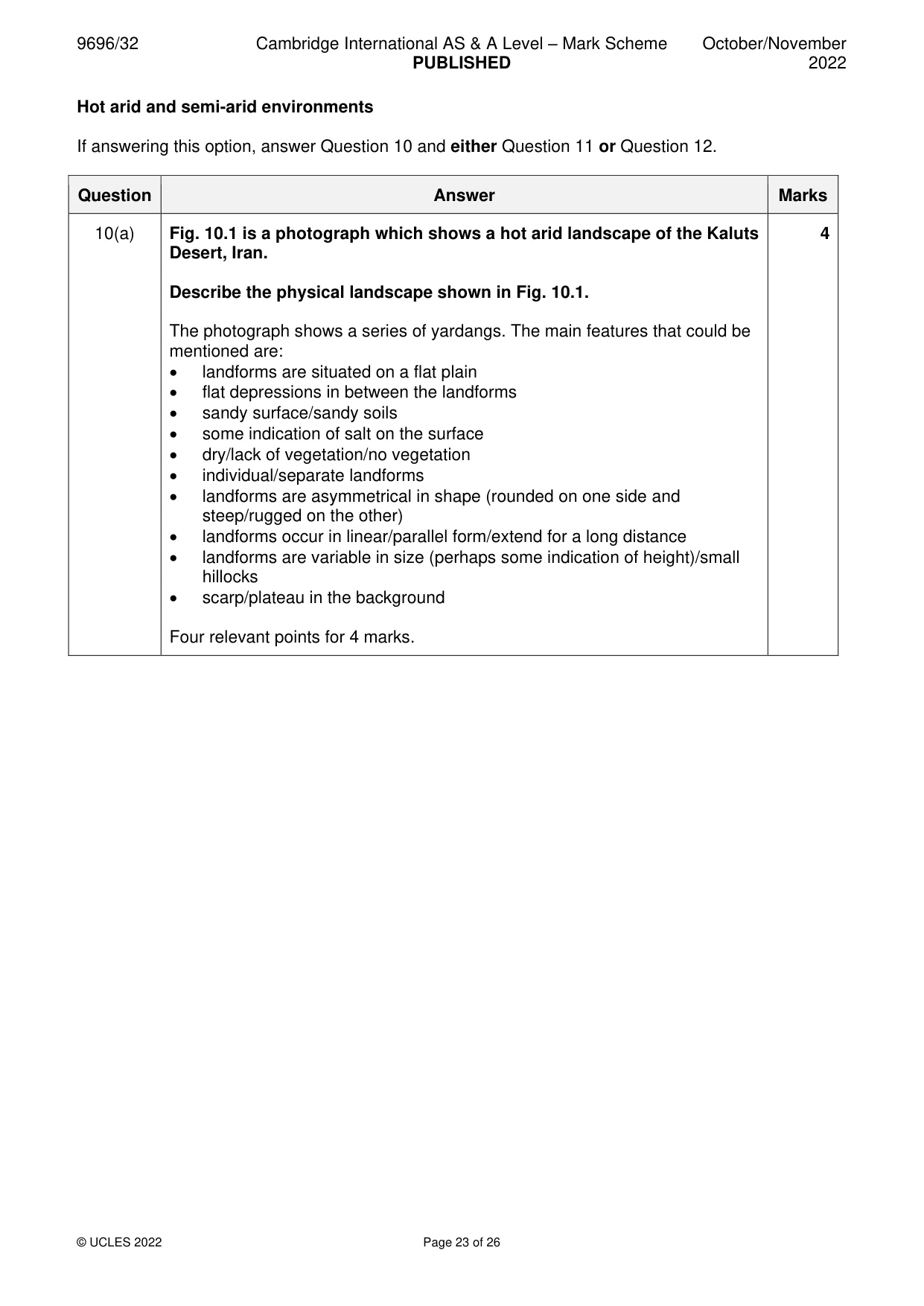
9696/32 Cambridge International AS & A Level – Mark Scheme PUBLISHED October/November 2022 © UCLES 2022 Page 23 of 26 Hot arid and semi-arid environments If answering this option, answer Question 10 and either Question 11 or Question 12. Question Answer Marks 10(a) Fig. 10.1 is a photograph which shows a hot arid landscape of the Kaluts Desert, Iran. Describe the physical landscape shown in Fig. 10.1. The photograph shows a series of yardangs. The main features that could be mentioned are: • landforms are situated on a flat plain • flat depressions in between the landforms • sandy surface/sandy soils • some indication of salt on the surface • dry/lack of vegetation/no vegetation • individual/separate landforms • landforms are asymmetrical in shape (rounded on one side and steep/rugged on the other) • landforms occur in linear/parallel form/extend for a long distance • landforms are variable in size (perhaps some indication of height)/small hillocks • scarp/plateau in the background Four relevant points for 4 marks. 4
Mark scheme, page 24
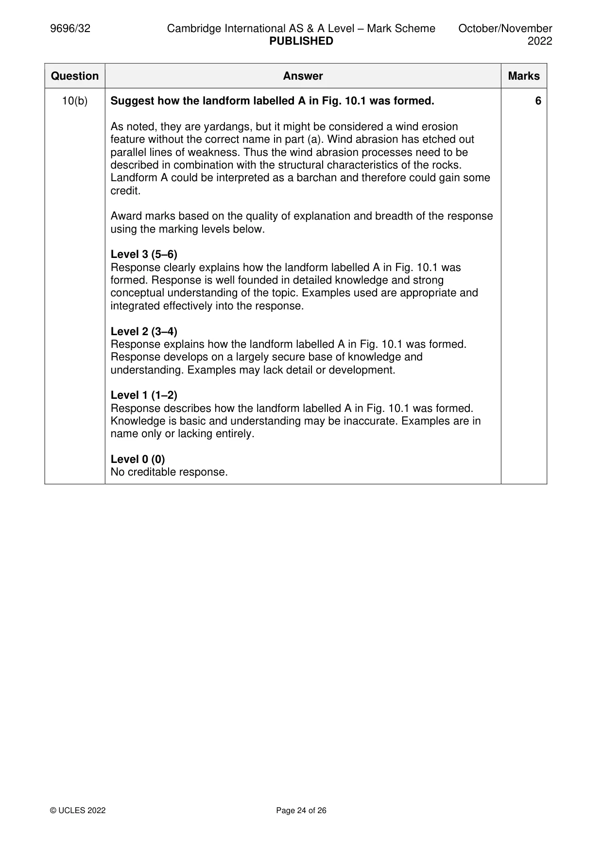
9696/32 Cambridge International AS & A Level – Mark Scheme PUBLISHED October/November 2022 © UCLES 2022 Page 24 of 26 Question Answer Marks 10(b) Suggest how the landform labelled A in Fig. 10.1 was formed. As noted, they are yardangs, but it might be considered a wind erosion feature without the correct name in part (a). Wind abrasion has etched out parallel lines of weakness. Thus the wind abrasion processes need to be described in combination with the structural characteristics of the rocks. Landform A could be interpreted as a barchan and therefore could gain some credit. Award marks based on the quality of explanation and breadth of the response using the marking levels below. Level 3 (5–6) Response clearly explains how the landform labelled A in Fig. 10.1 was formed. Response is well founded in detailed knowledge and strong conceptual understanding of the topic. Examples used are appropriate and integrated effectively into the response. Level 2 (3–4) Response explains how the landform labelled A in Fig. 10.1 was formed. Response develops on a largely secure base of knowledge and understanding. Examples may lack detail or development. Level 1 (1–2) Response describes how the landform labelled A in Fig. 10.1 was formed. Knowledge is basic and understanding may be inaccurate. Examples are in name only or lacking entirely. Level 0 (0) No creditable response. 6
Mark scheme, page 25
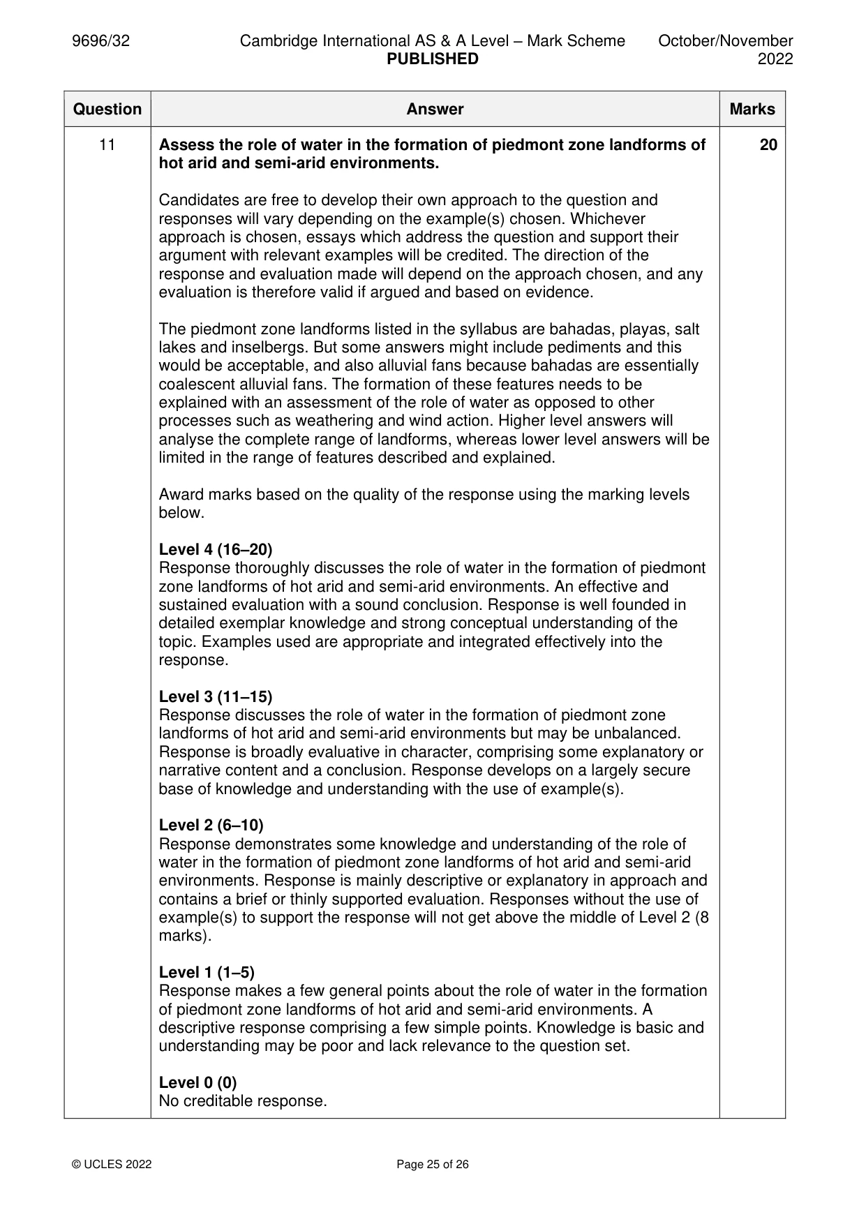
9696/32 Cambridge International AS & A Level – Mark Scheme PUBLISHED October/November 2022 © UCLES 2022 Page 25 of 26 Question Answer Marks 11 Assess the role of water in the formation of piedmont zone landforms of hot arid and semi-arid environments. Candidates are free to develop their own approach to the question and responses will vary depending on the example(s) chosen. Whichever approach is chosen, essays which address the question and support their argument with relevant examples will be credited. The direction of the response and evaluation made will depend on the approach chosen, and any evaluation is therefore valid if argued and based on evidence. The piedmont zone landforms listed in the syllabus are bahadas, playas, salt lakes and inselbergs. But some answers might include pediments and this would be acceptable, and also alluvial fans because bahadas are essentially coalescent alluvial fans. The formation of these features needs to be explained with an assessment of the role of water as opposed to other processes such as weathering and wind action. Higher level answers will analyse the complete range of landforms, whereas lower level answers will be limited in the range of features described and explained. Award marks based on the quality of the response using the marking levels below. Level 4 (16–20) Response thoroughly discusses the role of water in the formation of piedmont zone landforms of hot arid and semi-arid environments. An effective and sustained evaluation with a sound conclusion. Response is well founded in detailed exemplar knowledge and strong conceptual understanding of the topic. Examples used are appropriate and integrated effectively into the response. Level 3 (11–15) Response discusses the role of water in the formation of piedmont zone landforms of hot arid and semi-arid environments but may be unbalanced. Response is broadly evaluative in character, comprising some explanatory or narrative content and a conclusion. Response develops on a largely secure base of knowledge and understanding with the use of example(s). Level 2 (6–10) Response demonstrates some knowledge and understanding of the role of water in the formation of piedmont zone landforms of hot arid and semi-arid environments. Response is mainly descriptive or explanatory in approach and contains a brief or thinly supported evaluation. Responses without the use of example(s) to support the response will not get above the middle of Level 2 (8 marks). Level 1 (1–5) Response makes a few general points about the role of water in the formation of piedmont zone landforms of hot arid and semi-arid environments. A descriptive response comprising a few simple points. Knowledge is basic and understanding may be poor and lack relevance to the question set. Level 0 (0) No creditable response. 20
Mark scheme, page 26
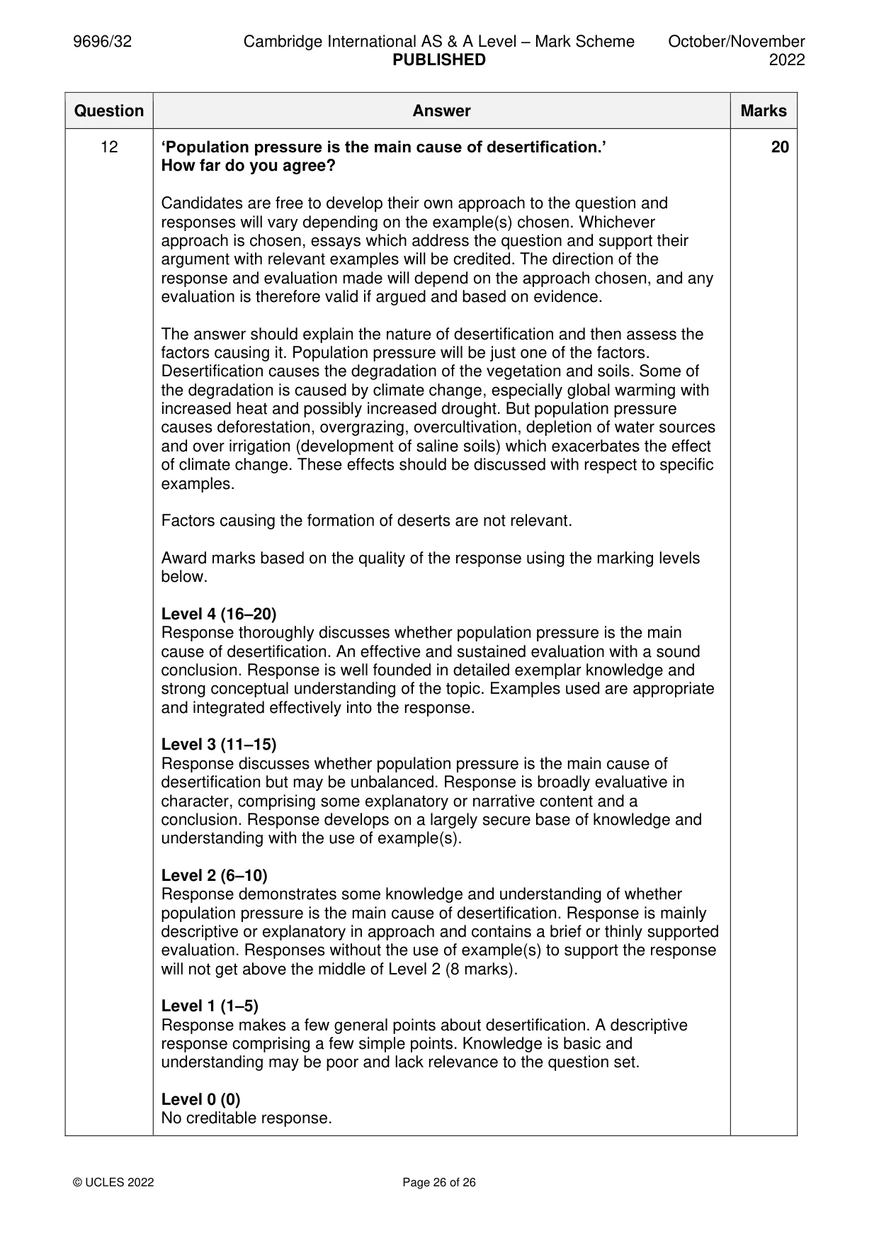
9696/32 Cambridge International AS & A Level – Mark Scheme PUBLISHED October/November 2022 © UCLES 2022 Page 26 of 26 Question Answer Marks 12 ‘Population pressure is the main cause of desertification.’ How far do you agree? Candidates are free to develop their own approach to the question and responses will vary depending on the example(s) chosen. Whichever approach is chosen, essays which address the question and support their argument with relevant examples will be credited. The direction of the response and evaluation made will depend on the approach chosen, and any evaluation is therefore valid if argued and based on evidence. The answer should explain the nature of desertification and then assess the factors causing it. Population pressure will be just one of the factors. Desertification causes the degradation of the vegetation and soils. Some of the degradation is caused by climate change, especially global warming with increased heat and possibly increased drought. But population pressure causes deforestation, overgrazing, overcultivation, depletion of water sources and over irrigation (development of saline soils) which exacerbates the effect of climate change. These effects should be discussed with respect to specific examples. Factors causing the formation of deserts are not relevant. Award marks based on the quality of the response using the marking levels below. Level 4 (16–20) Response thoroughly discusses whether population pressure is the main cause of desertification. An effective and sustained evaluation with a sound conclusion. Response is well founded in detailed exemplar knowledge and strong conceptual understanding of the topic. Examples used are appropriate and integrated effectively into the response. Level 3 (11–15) Response discusses whether population pressure is the main cause of desertification but may be unbalanced. Response is broadly evaluative in character, comprising some explanatory or narrative content and a conclusion. Response develops on a largely secure base of knowledge and understanding with the use of example(s). Level 2 (6–10) Response demonstrates some knowledge and understanding of whether population pressure is the main cause of desertification. Response is mainly descriptive or explanatory in approach and contains a brief or thinly supported evaluation. Responses without the use of example(s) to support the response will not get above the middle of Level 2 (8 marks). Level 1 (1–5) Response makes a few general points about desertification. A descriptive response comprising a few simple points. Knowledge is basic and understanding may be poor and lack relevance to the question set. Level 0 (0) No creditable response. 20
What you needed in this session
Cambridge’s own grade thresholds for 2022 Oct/Nov, Paper 3 · Variant 2. A higher threshold means an easier paper — the bar moves with how the cohort did.