Cambridge A Level Geography 9696 — 2021 Oct/Nov Paper 3 · Variant 1
9696/31/O/N/21 · 12 questions · 60 marks · ≈68 min
The question paper and its mark scheme, free to read here and free to download. This is Cambridge’s own paper, exactly as it was sat.
Question paper4 pages

Mark scheme16 pages
Answers below. Sit the paper first if you are practising.



Questions as text
Q1 · A photograph which shows vegetation in a seasonally humid tropical (savanna) ecosystem
1 Fig. 1.1 is a photograph which shows vegetation in a seasonally humid tropical (savanna) ecosystem. (a) Describe four characteristics of the vegetation shown in Fig. 1.1. [4] (b) Explain the characteristics of the vegetation shown in Fig. 1.1. [6]
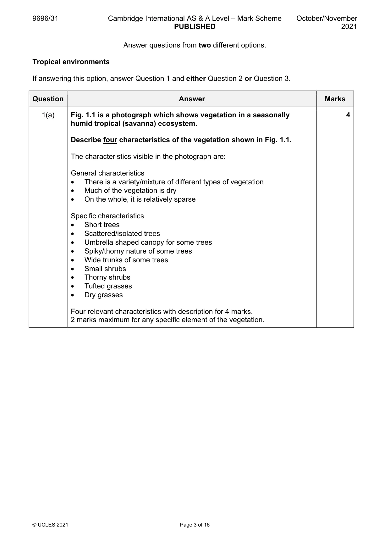
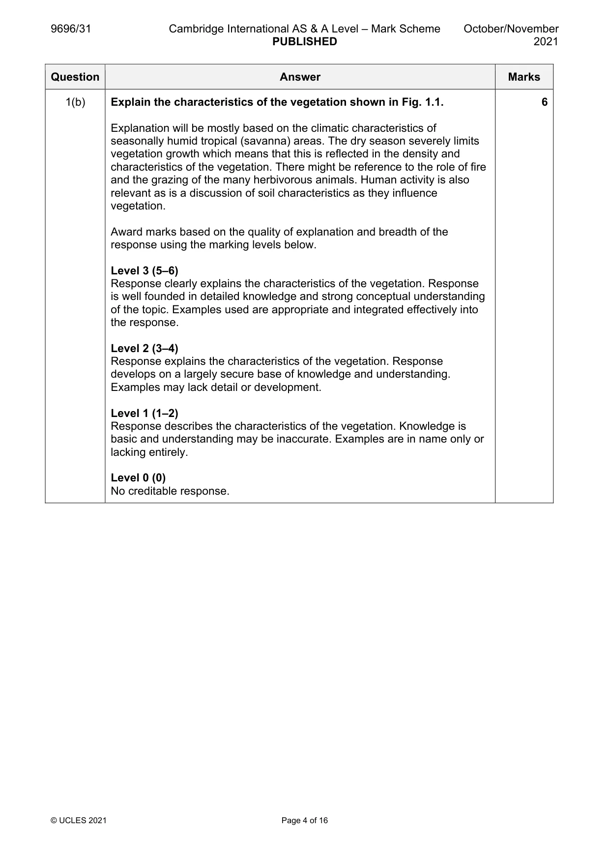
Mark scheme: Question Answer Marks 1(a) Fig. 1.1 is a photograph which shows vegetation in a seasonally 4 humid tropical (savanna) ecosystem. Describe four characteristics of the vegetation shown in Fig. 1.1. The characteristics visible in the photograph are: General characteristics • There is a variety/mixture of different types of vegetation • Much of the vegetation is dry • On the whole, it is relatively sparse Specific characteristics • Short trees • Scattered/isolated trees • Umbrella shaped canopy for some trees • Spiky/thorny nature of some trees • Wide trunks of some trees • Small shrubs • Thorny shrubs • Tufted grasses • Dry grasses Four relevant characteristics with description for 4 marks. 2 marks maximum for any specific element of the vegetation. 1(b) Explain the characteristics of the vegetation shown in Fig. 1.1. 6 Explanation will be mostly based on the climatic characteristics of seasonally humid tropical (savanna) areas. The dry season severely limits vegetation growth which means that this is reflected in the density and characteristics of the vegetation. There might be reference to the role of fire and the grazing of the many herbivorous animals. Human activity is also relevant as is a discussion of soil characteristics as they influence vegetation. Award marks based on the quality of explanation and breadth of the response using the marking levels below. Level 3 (5–6) Response clearly explains the characteristics of the vegetation. Response is well founded in detailed knowledge and strong conceptual understanding of the topic. Examples used are appropriate and integrated effectively into the response. Level 2 (3–4) Response explains the characteristics of the vegetation. Response develops on a largely secure base of knowledge and understanding. Examples may lack detail or development. Level 1 (1–2) Response describes the characteristics of the vegetation. Knowledge is basic and understanding may be inaccurate. Examples are in name only or lacking entirely. Level 0 (0) No creditable response.
Q2 · Using a case study of either a humid tropical (rainforest) ecosystem or a seasonally…
2 Using a case study of either a humid tropical (rainforest) ecosystem or a seasonally humid tropical (savanna) ecosystem, assess the significance of threats from its exploitation. [20]
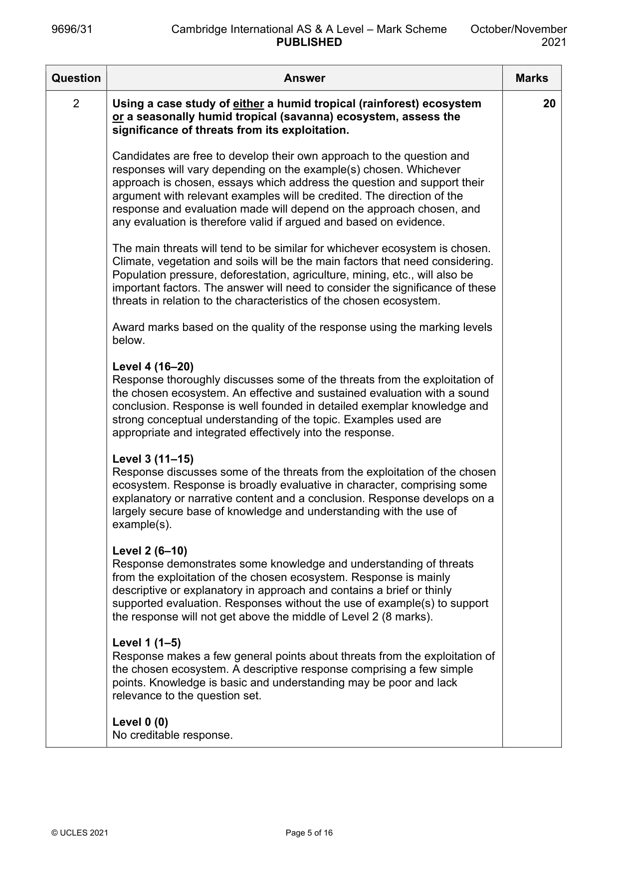
Mark scheme: 2 Using a case study of either a humid tropical (rainforest) ecosystem 20 or a seasonally humid tropical (savanna) ecosystem, assess the significance of threats from its exploitation. Candidates are free to develop their own approach to the question and responses will vary depending on the example(s) chosen. Whichever approach is chosen, essays which address the question and support their argument with relevant examples will be credited. The direction of the response and evaluation made will depend on the approach chosen, and any evaluation is therefore valid if argued and based on evidence. The main threats will tend to be similar for whichever ecosystem is chosen. Climate, vegetation and soils will be the main factors that need considering. Population pressure, deforestation, agriculture, mining, etc., will also be important factors. The answer will need to consider the significance of these threats in relation to the characteristics of the chosen ecosystem. Award marks based on the quality of the response using the marking levels below. Level 4 (16–20) Response thoroughly discusses some of the threats from the exploitation of the chosen ecosystem. An effective and sustained evaluation with a sound conclusion. Response is well founded in detailed exemplar knowledge and strong conceptual understanding of the topic. Examples used are appropriate and integrated effectively into the response. Level 3 (11–15) Response discusses some of the threats from the exploitation of the chosen ecosystem. Response is broadly evaluative in character, comprising some explanatory or narrative content and a conclusion. Response develops on a largely secure base of knowledge and understanding with the use of example(s). Level 2 (6–10) Response demonstrates some knowledge and understanding of threats from the exploitation of the chosen ecosystem. Response is mainly descriptive or explanatory in approach and contains a brief or thinly supported evaluation. Responses without the use of example(s) to support the response will not get above the middle of Level 2 (8 marks). Level 1 (1–5) Response makes a few general points about threats from the exploitation of the chosen ecosystem. A descriptive response comprising a few simple points. Knowledge is basic and understanding may be poor and lack relevance to the question set. Level 0 (0) No creditable response.
Q3 · Assess the variability of temperature and rainfall between humid tropical and seasonally…
3 Assess the variability of temperature and rainfall between humid tropical and seasonally humid tropical environments. [20] Coastal environments If answering this option, answer Question 4 and either Question 5 or Question 6.
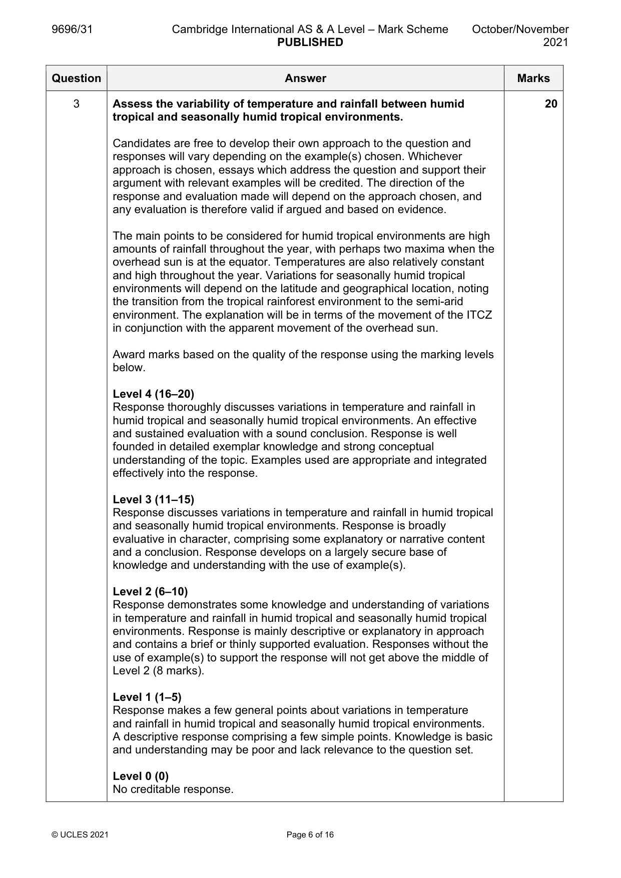
Mark scheme: 3 Assess the variability of temperature and rainfall between humid 20 tropical and seasonally humid tropical environments. Candidates are free to develop their own approach to the question and responses will vary depending on the example(s) chosen. Whichever approach is chosen, essays which address the question and support their argument with relevant examples will be credited. The direction of the response and evaluation made will depend on the approach chosen, and any evaluation is therefore valid if argued and based on evidence. The main points to be considered for humid tropical environments are high amounts of rainfall throughout the year, with perhaps two maxima when the overhead sun is at the equator. Temperatures are also relatively constant and high throughout the year. Variations for seasonally humid tropical environments will depend on the latitude and geographical location, noting the transition from the tropical rainforest environment to the semi-arid environment. The explanation will be in terms of the movement of the ITCZ in conjunction with the apparent movement of the overhead sun. Award marks based on the quality of the response using the marking levels below. Level 4 (16–20) Response thoroughly discusses variations in temperature and rainfall in humid tropical and seasonally humid tropical environments. An effective and sustained evaluation with a sound conclusion. Response is well founded in detailed exemplar knowledge and strong conceptual understanding of the topic. Examples used are appropriate and integrated effectively into the response. Level 3 (11–15) Response discusses variations in temperature and rainfall in humid tropical and seasonally humid tropical environments. Response is broadly evaluative in character, comprising some explanatory or narrative content and a conclusion. Response develops on a largely secure base of knowledge and understanding with the use of example(s). Level 2 (6–10) Response demonstrates some knowledge and understanding of variations in temperature and rainfall in humid tropical and seasonally humid tropical environments. Response is mainly descriptive or explanatory in approach and contains a brief or thinly supported evaluation. Responses without the use of example(s) to support the response will not get above the middle of Level 2 (8 marks). Level 1 (1–5) Response makes a few general points about variations in temperature and rainfall in humid tropical and seasonally humid tropical environments. A descriptive response comprising a few simple points. Knowledge is basic and understanding may be poor and lack relevance to the question set. Level 0 (0) No creditable response. Coastal environments If answering this option, answer Question 4 and either Question 5 or Question 6.
Q4 · Total erosion along the Holderness coastline, UK, 2003–2017
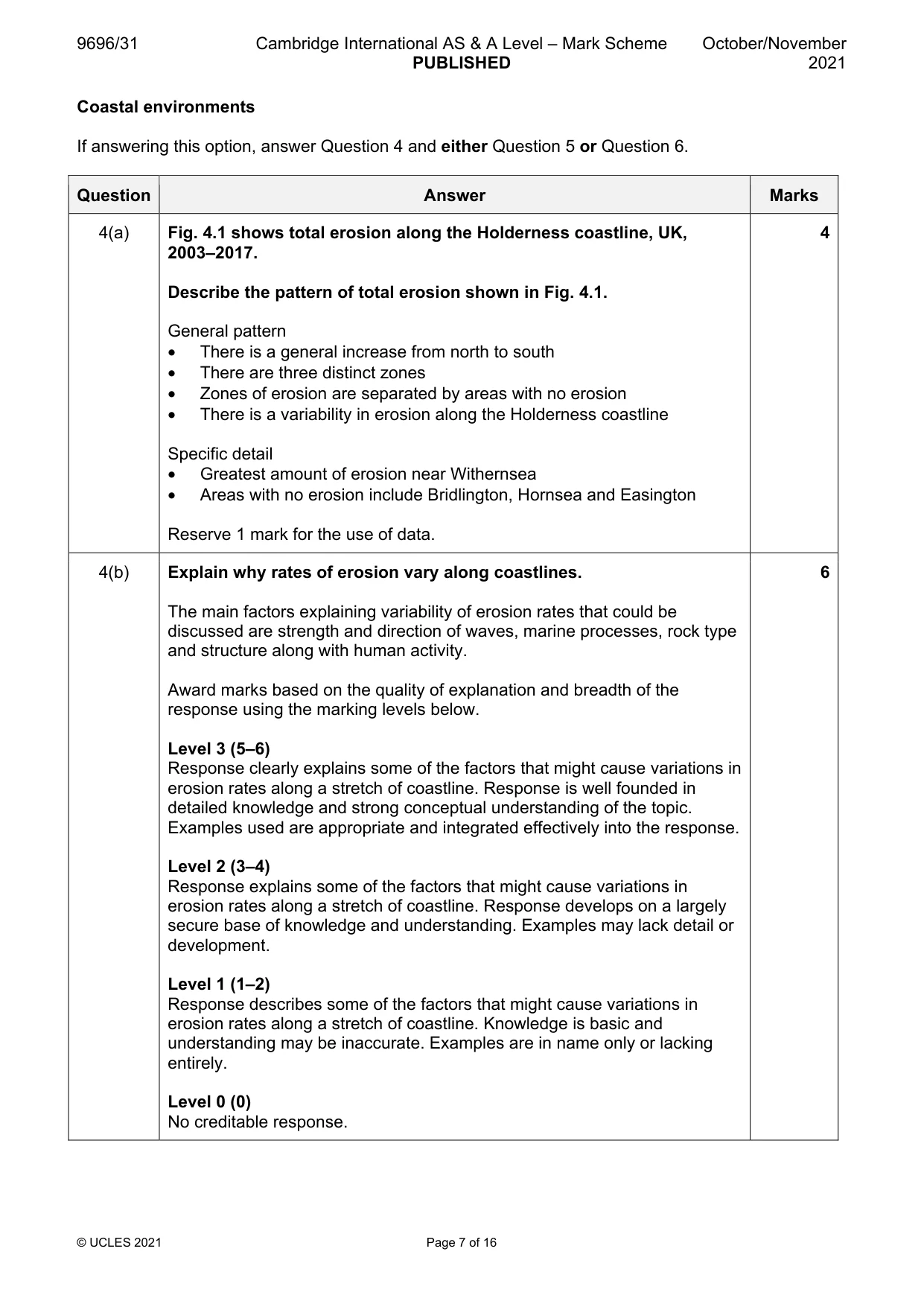
4 Fig. 4.1 shows total erosion along the Holderness coastline, UK, 2003–2017. (a) Describe the pattern of total erosion shown in Fig. 4.1. [4] (b) Explain why rates of erosion vary along coastlines. [6]
Mark scheme: 4(a) Fig. 4.1 shows total erosion along the Holderness coastline, UK, 4 2003–2017. Describe the pattern of total erosion shown in Fig. 4.1. General pattern • There is a general increase from north to south • There are three distinct zones • Zones of erosion are separated by areas with no erosion • There is a variability in erosion along the Holderness coastline Specific detail • Greatest amount of erosion near Withernsea • Areas with no erosion include Bridlington, Hornsea and Easington Reserve 1 mark for the use of data. 4(b) Explain why rates of erosion vary along coastlines. 6 The main factors explaining variability of erosion rates that could be discussed are strength and direction of waves, marine processes, rock type and structure along with human activity. Award marks based on the quality of explanation and breadth of the response using the marking levels below. Level 3 (5–6) Response clearly explains some of the factors that might cause variations in erosion rates along a stretch of coastline. Response is well founded in detailed knowledge and strong conceptual understanding of the topic. Examples used are appropriate and integrated effectively into the response. Level 2 (3–4) Response explains some of the factors that might cause variations in erosion rates along a stretch of coastline. Response develops on a largely secure base of knowledge and understanding. Examples may lack detail or development. Level 1 (1–2) Response describes some of the factors that might cause variations in erosion rates along a stretch of coastline. Knowledge is basic and understanding may be inaccurate. Examples are in name only or lacking entirely. Level 0 (0) No creditable response.
Q5 · ‘Sea-level rise is the main threat to coral reefs.’ How far do you agree with this…
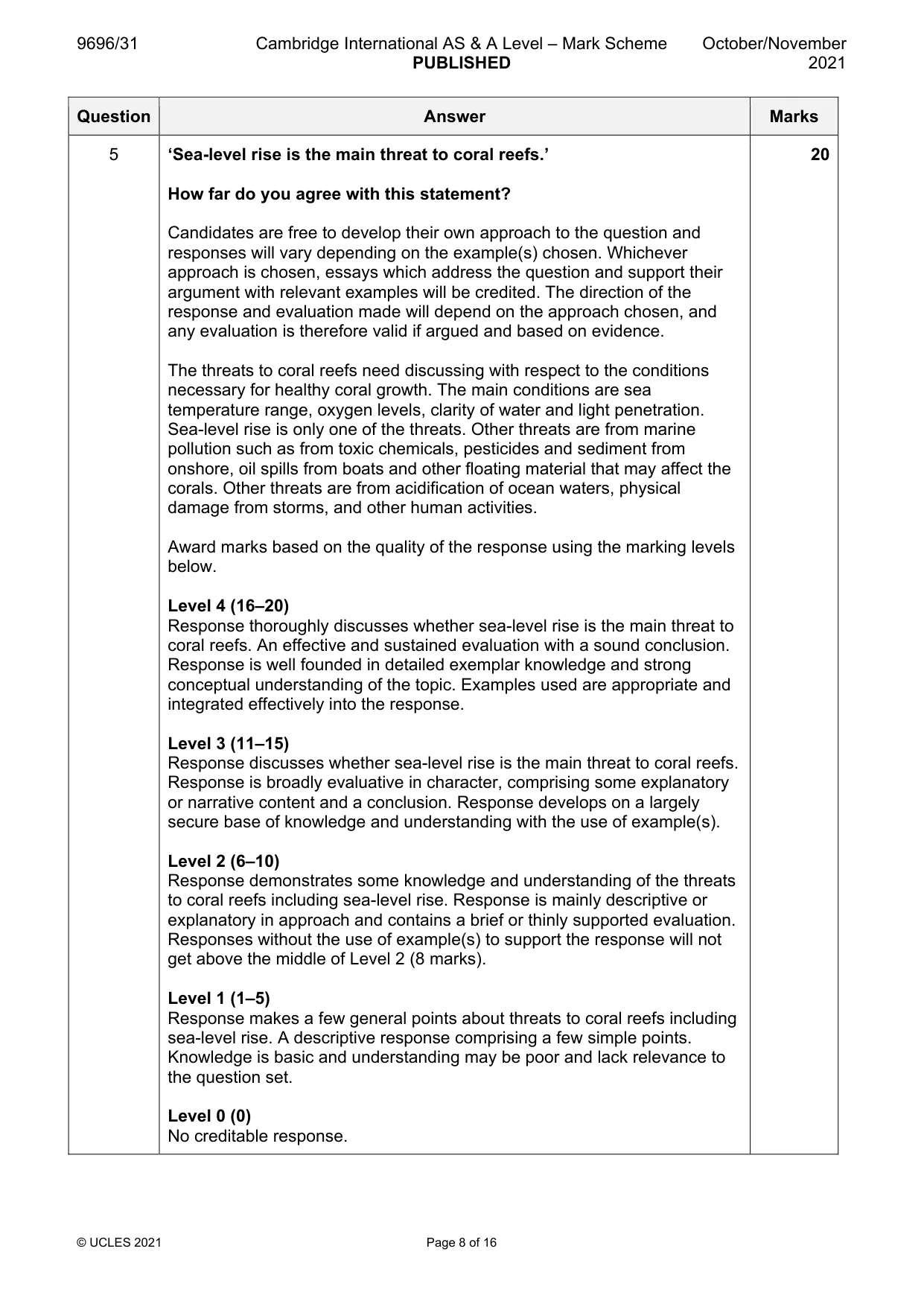
5 ‘Sea-level rise is the main threat to coral reefs.’ How far do you agree with this statement? [20]
Mark scheme: 5 ‘Sea-level rise is the main threat to coral reefs.’ 20 How far do you agree with this statement? Candidates are free to develop their own approach to the question and responses will vary depending on the example(s) chosen. Whichever approach is chosen, essays which address the question and support their argument with relevant examples will be credited. The direction of the response and evaluation made will depend on the approach chosen, and any evaluation is therefore valid if argued and based on evidence. The threats to coral reefs need discussing with respect to the conditions necessary for healthy coral growth. The main conditions are sea temperature range, oxygen levels, clarity of water and light penetration. Sea-level rise is only one of the threats. Other threats are from marine pollution such as from toxic chemicals, pesticides and sediment from onshore, oil spills from boats and other floating material that may affect the corals. Other threats are from acidification of ocean waters, physical damage from storms, and other human activities. Award marks based on the quality of the response using the marking levels below. Level 4 (16–20) Response thoroughly discusses whether sea-level rise is the main threat to coral reefs. An effective and sustained evaluation with a sound conclusion. Response is well founded in detailed exemplar knowledge and strong conceptual understanding of the topic. Examples used are appropriate and integrated effectively into the response. Level 3 (11–15) Response discusses whether sea-level rise is the main threat to coral reefs. Response is broadly evaluative in character, comprising some explanatory or narrative content and a conclusion. Response develops on a largely secure base of knowledge and understanding with the use of example(s). Level 2 (6–10) Response demonstrates some knowledge and understanding of the threats to coral reefs including sea-level rise. Response is mainly descriptive or explanatory in approach and contains a brief or thinly supported evaluation. Responses without the use of example(s) to support the response will not get above the middle of Level 2 (8 marks). Level 1 (1–5) Response makes a few general points about threats to coral reefs including sea-level rise. A descriptive response comprising a few simple points. Knowledge is basic and understanding may be poor and lack relevance to the question set. Level 0 (0) No creditable response.
Q6 · Assess the extent to which depositional landforms in coastal environments are the result…
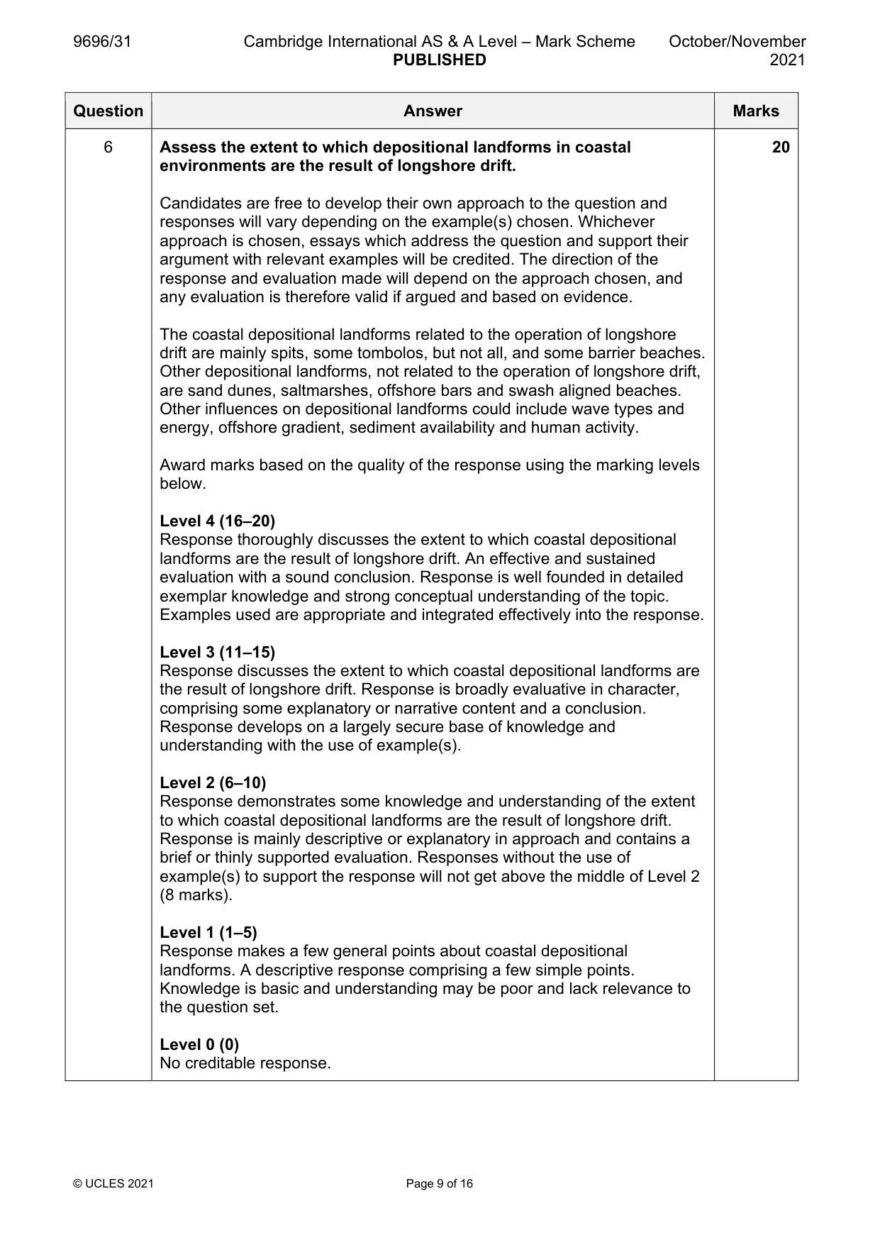
6 Assess the extent to which depositional landforms in coastal environments are the result of longshore drift. [20] Hazardous environments If answering this option, answer Question 7 and either Question 8 or Question 9.
Mark scheme: 6 Assess the extent to which depositional landforms in coastal 20 environments are the result of longshore drift. Candidates are free to develop their own approach to the question and responses will vary depending on the example(s) chosen. Whichever approach is chosen, essays which address the question and support their argument with relevant examples will be credited. The direction of the response and evaluation made will depend on the approach chosen, and any evaluation is therefore valid if argued and based on evidence. The coastal depositional landforms related to the operation of longshore drift are mainly spits, some tombolos, but not all, and some barrier beaches. Other depositional landforms, not related to the operation of longshore drift, are sand dunes, saltmarshes, offshore bars and swash aligned beaches. Other influences on depositional landforms could include wave types and energy, offshore gradient, sediment availability and human activity. Award marks based on the quality of the response using the marking levels below. Level 4 (16–20) Response thoroughly discusses the extent to which coastal depositional landforms are the result of longshore drift. An effective and sustained evaluation with a sound conclusion. Response is well founded in detailed exemplar knowledge and strong conceptual understanding of the topic. Examples used are appropriate and integrated effectively into the response. Level 3 (11–15) Response discusses the extent to which coastal depositional landforms are the result of longshore drift. Response is broadly evaluative in character, comprising some explanatory or narrative content and a conclusion. Response develops on a largely secure base of knowledge and understanding with the use of example(s). Level 2 (6–10) Response demonstrates some knowledge and understanding of the extent to which coastal depositional landforms are the result of longshore drift. Response is mainly descriptive or explanatory in approach and contains a brief or thinly supported evaluation. Responses without the use of example(s) to support the response will not get above the middle of Level 2 (8 marks). Level 1 (1–5) Response makes a few general points about coastal depositional landforms. A descriptive response comprising a few simple points. Knowledge is basic and understanding may be poor and lack relevance to the question set. Level 0 (0) No creditable response. Hazardous environments If answering this option, answer Question 7 and either Question 8 or Question 9.
Q7 · Trends in frequency of tornadoes in part of the USA
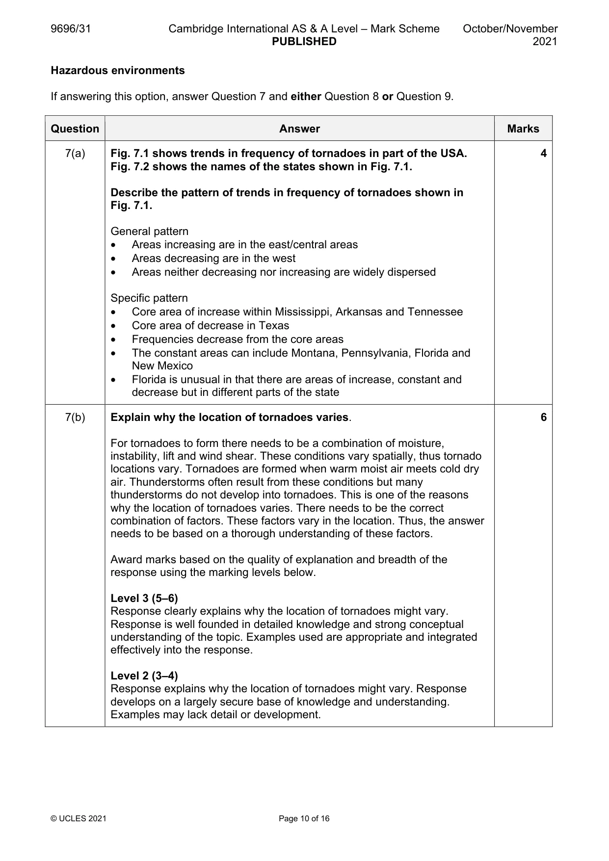
7 Fig. 7.1 shows trends in frequency of tornadoes in part of the USA. Fig. 7.2 shows the names of the states shown in Fig. 7.1. (a) Describe the pattern of trends in frequency of tornadoes shown in Fig. 7.1. [4] (b) Explain why the location of tornadoes varies. [6]
Mark scheme: 7(a) Fig. 7.1 shows trends in frequency of tornadoes in part of the USA. 4 Fig. 7.2 shows the names of the states shown in Fig. 7.1. Describe the pattern of trends in frequency of tornadoes shown in Fig. 7.1. General pattern • Areas increasing are in the east/central areas • Areas decreasing are in the west • Areas neither decreasing nor increasing are widely dispersed Specific pattern • Core area of increase within Mississippi, Arkansas and Tennessee • Core area of decrease in Texas • Frequencies decrease from the core areas • The constant areas can include Montana, Pennsylvania, Florida and New Mexico • Florida is unusual in that there are areas of increase, constant and decrease but in different parts of the state 7(b) Explain why the location of tornadoes varies. 6 For tornadoes to form there needs to be a combination of moisture, instability, lift and wind shear. These conditions vary spatially, thus tornado locations vary. Tornadoes are formed when warm moist air meets cold dry air. Thunderstorms often result from these conditions but many thunderstorms do not develop into tornadoes. This is one of the reasons why the location of tornadoes varies. There needs to be the correct combination of factors. These factors vary in the location. Thus, the answer needs to be based on a thorough understanding of these factors. Award marks based on the quality of explanation and breadth of the response using the marking levels below. Level 3 (5–6) Response clearly explains why the location of tornadoes might vary. Response is well founded in detailed knowledge and strong conceptual understanding of the topic. Examples used are appropriate and integrated effectively into the response. Level 2 (3–4) Response explains why the location of tornadoes might vary. Response develops on a largely secure base of knowledge and understanding. Examples may lack detail or development. 7(b) Level 1 (1–2) Response describes the location of tornadoes. Knowledge is basic and understanding may be inaccurate. Examples are in name only or lacking entirely. Level 0 (0) No creditable response.
Q8 · ‘It is easier to prepare for the hazards of cyclones, hurricanes and typhoons than it is…
8 ‘It is easier to prepare for the hazards of cyclones, hurricanes and typhoons than it is for tornadoes.’ How far do you agree with this statement? [20]
Mark scheme: 8 ‘It is easier to prepare for the hazards of cyclones, hurricanes and 20 typhoons than it is for tornadoes.’ How far do you agree with this statement? Candidates are free to develop their own approach to the question and responses will vary depending on the example(s) chosen. Whichever approach is chosen, essays which address the question and support their argument with relevant examples will be credited. The direction of the response and evaluation made will depend on the approach chosen, and any evaluation is therefore valid if argued and based on evidence. The main hazards, and therefore the need for preparation, of cyclones, hurricanes and typhoons are high winds, high rainfall intensity and amount, along with storm surges. The main risks from tornadoes are high winds, pressure differences, high rainfall intensities and hail. Tornadoes tend to be more variable, more localised and therefore more difficult to prepare for. The characteristics of hurricanes, as an example, can be tracked before they hit land and therefore their characteristics can be assessed. Tornadoes form suddenly and their characteristics are more difficult to assess and prepare for. Award marks based on the quality of the response using the marking levels below. Level 4 (16–20) Response thoroughly discusses the preparation for the hazards from the two disturbances. An effective and sustained evaluation with a sound conclusion. Response is well founded in detailed exemplar knowledge and strong conceptual understanding of the topic. Examples used are appropriate and integrated effectively into the response. Level 3 (11–15) Response discusses the preparation for the hazards from the two disturbances. Response is broadly evaluative in character, comprising some explanatory or narrative content and a conclusion. Response develops on a largely secure base of knowledge and understanding with the use of example(s). 8 Level 2 (6–10) Response demonstrates some knowledge and understanding of preparation for the hazards from the two disturbances. Response is mainly descriptive or explanatory in approach and contains a brief or thinly supported evaluation. Responses without the use of example(s) to support the response will not get above the middle of Level 2 (8 marks). Level 1 (1–5) Response makes a few general points about preparation for the hazards from the two disturbances. A descriptive response comprising a few simple points. Knowledge is basic and understanding may be poor and lack relevance to the question set. Level 0 (0) No creditable response.
Q9 · Assess the view that pyroclastic flows are the most significant hazards from volcanic…
9 Assess the view that pyroclastic flows are the most significant hazards from volcanic eruptions. [20] Hot arid and semi-arid environments If answering this option, answer Question 10 and either Question 11 or Question 12.
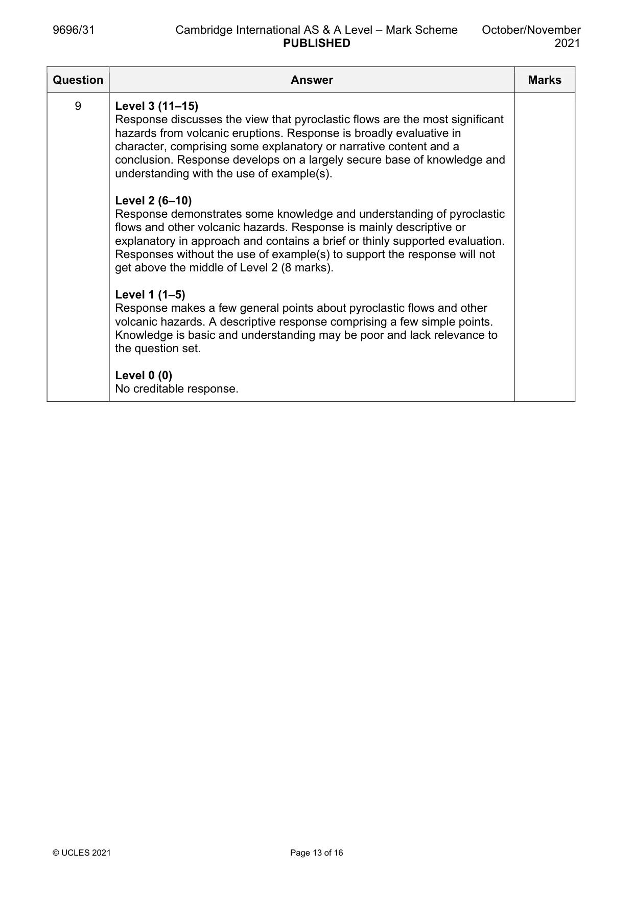
Mark scheme: 9 Assess the view that pyroclastic flows are the most significant 20 hazards from volcanic eruptions. Candidates are free to develop their own approach to the question and responses will vary depending on the example(s) chosen. Whichever approach is chosen, essays which address the question and support their argument with relevant examples will be credited. The direction of the response and evaluation made will depend on the approach chosen, and any evaluation is therefore valid if argued and based on evidence. There are many hazards from volcanic eruptions. Pyroclastic flows can be extremely hazardous due to their speed of movement, unpredictable path and intense heat. However, there are other hazardous elements resulting from volcanic eruptions which may include lahars, lava flows, ash and poisonous gases. Thus, the range of hazards from volcanic eruptions needs discussing in comparison to pyroclastic flows. Significance may be assessed in terms of the scale and frequency of pyroclastic flows, difficulty of prediction and effects on lives and property. Award marks based on the quality of the response using the marking levels below. Level 4 (16–20) Response thoroughly discusses the view that pyroclastic flows are the most significant hazards from volcanic eruptions. An effective and sustained evaluation with a sound conclusion. Response is well founded in detailed exemplar knowledge and strong conceptual understanding of the topic. Examples used are appropriate and integrated effectively into the response. 9 Level 3 (11–15) Response discusses the view that pyroclastic flows are the most significant hazards from volcanic eruptions. Response is broadly evaluative in character, comprising some explanatory or narrative content and a conclusion. Response develops on a largely secure base of knowledge and understanding with the use of example(s). Level 2 (6–10) Response demonstrates some knowledge and understanding of pyroclastic flows and other volcanic hazards. Response is mainly descriptive or explanatory in approach and contains a brief or thinly supported evaluation. Responses without the use of example(s) to support the response will not get above the middle of Level 2 (8 marks). Level 1 (1–5) Response makes a few general points about pyroclastic flows and other volcanic hazards. A descriptive response comprising a few simple points. Knowledge is basic and understanding may be poor and lack relevance to the question set. Level 0 (0) No creditable response. Hot arid and semi-arid environments If answering this option, answer Question 10 and either Question 11 or Question 12.
Q10 · Current and former perennial streams of the San Pedro River, Arizona, USA
10 Fig. 10.1 shows current and former perennial streams of the San Pedro River, Arizona, USA. (a) Compare the pattern of current and former perennial streams shown in Fig. 10.1. [4] (b) Explain why some streams in arid environments are perennial whereas others are not. [6]
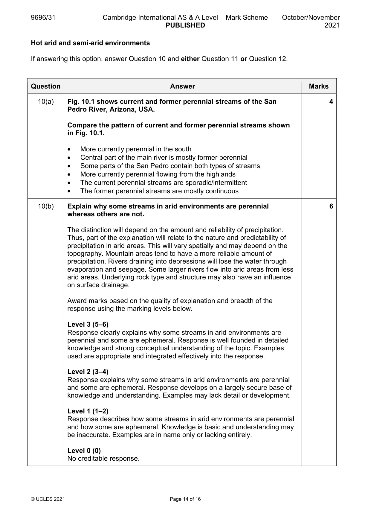
Mark scheme: 10(a) Fig. 10.1 shows current and former perennial streams of the San 4 Pedro River, Arizona, USA. Compare the pattern of current and former perennial streams shown in Fig. 10.1. • More currently perennial in the south • Central part of the main river is mostly former perennial • Some parts of the San Pedro contain both types of streams • More currently perennial flowing from the highlands • The current perennial streams are sporadic/intermittent • The former perennial streams are mostly continuous 10(b) Explain why some streams in arid environments are perennial 6 whereas others are not. The distinction will depend on the amount and reliability of precipitation. Thus, part of the explanation will relate to the nature and predictability of precipitation in arid areas. This will vary spatially and may depend on the topography. Mountain areas tend to have a more reliable amount of precipitation. Rivers draining into depressions will lose the water through evaporation and seepage. Some larger rivers flow into arid areas from less arid areas. Underlying rock type and structure may also have an influence on surface drainage. Award marks based on the quality of explanation and breadth of the response using the marking levels below. Level 3 (5–6) Response clearly explains why some streams in arid environments are perennial and some are ephemeral. Response is well founded in detailed knowledge and strong conceptual understanding of the topic. Examples used are appropriate and integrated effectively into the response. Level 2 (3–4) Response explains why some streams in arid environments are perennial and some are ephemeral. Response develops on a largely secure base of knowledge and understanding. Examples may lack detail or development. Level 1 (1–2) Response describes how some streams in arid environments are perennial and how some are ephemeral. Knowledge is basic and understanding may be inaccurate. Examples are in name only or lacking entirely. Level 0 (0) No creditable response.
Q11 · Assess the extent to which the rain shadow effect is the main cause of aridity
11 Assess the extent to which the rain shadow effect is the main cause of aridity. [20]
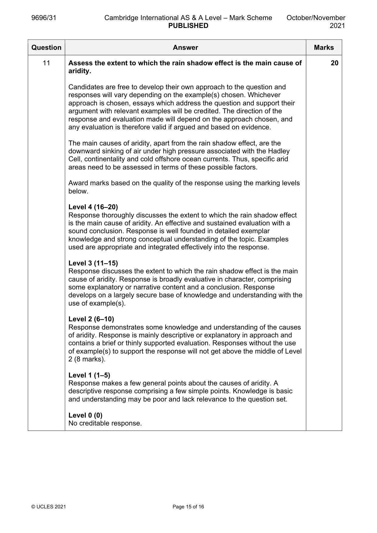
Mark scheme: 11 Assess the extent to which the rain shadow effect is the main cause of 20 aridity. Candidates are free to develop their own approach to the question and responses will vary depending on the example(s) chosen. Whichever approach is chosen, essays which address the question and support their argument with relevant examples will be credited. The direction of the response and evaluation made will depend on the approach chosen, and any evaluation is therefore valid if argued and based on evidence. The main causes of aridity, apart from the rain shadow effect, are the downward sinking of air under high pressure associated with the Hadley Cell, continentality and cold offshore ocean currents. Thus, specific arid areas need to be assessed in terms of these possible factors. Award marks based on the quality of the response using the marking levels below. Level 4 (16–20) Response thoroughly discusses the extent to which the rain shadow effect is the main cause of aridity. An effective and sustained evaluation with a sound conclusion. Response is well founded in detailed exemplar knowledge and strong conceptual understanding of the topic. Examples used are appropriate and integrated effectively into the response. Level 3 (11–15) Response discusses the extent to which the rain shadow effect is the main cause of aridity. Response is broadly evaluative in character, comprising some explanatory or narrative content and a conclusion. Response develops on a largely secure base of knowledge and understanding with the use of example(s). Level 2 (6–10) Response demonstrates some knowledge and understanding of the causes of aridity. Response is mainly descriptive or explanatory in approach and contains a brief or thinly supported evaluation. Responses without the use of example(s) to support the response will not get above the middle of Level 2 (8 marks). Level 1 (1–5) Response makes a few general points about the causes of aridity. A descriptive response comprising a few simple points. Knowledge is basic and understanding may be poor and lack relevance to the question set. Level 0 (0) No creditable response.
Q12 · Using a case study of either a hot arid or a semi-arid environment, evaluate the problems…
12 Using a case study of either a hot arid or a semi-arid environment, evaluate the problems of its sustainable management. [20]
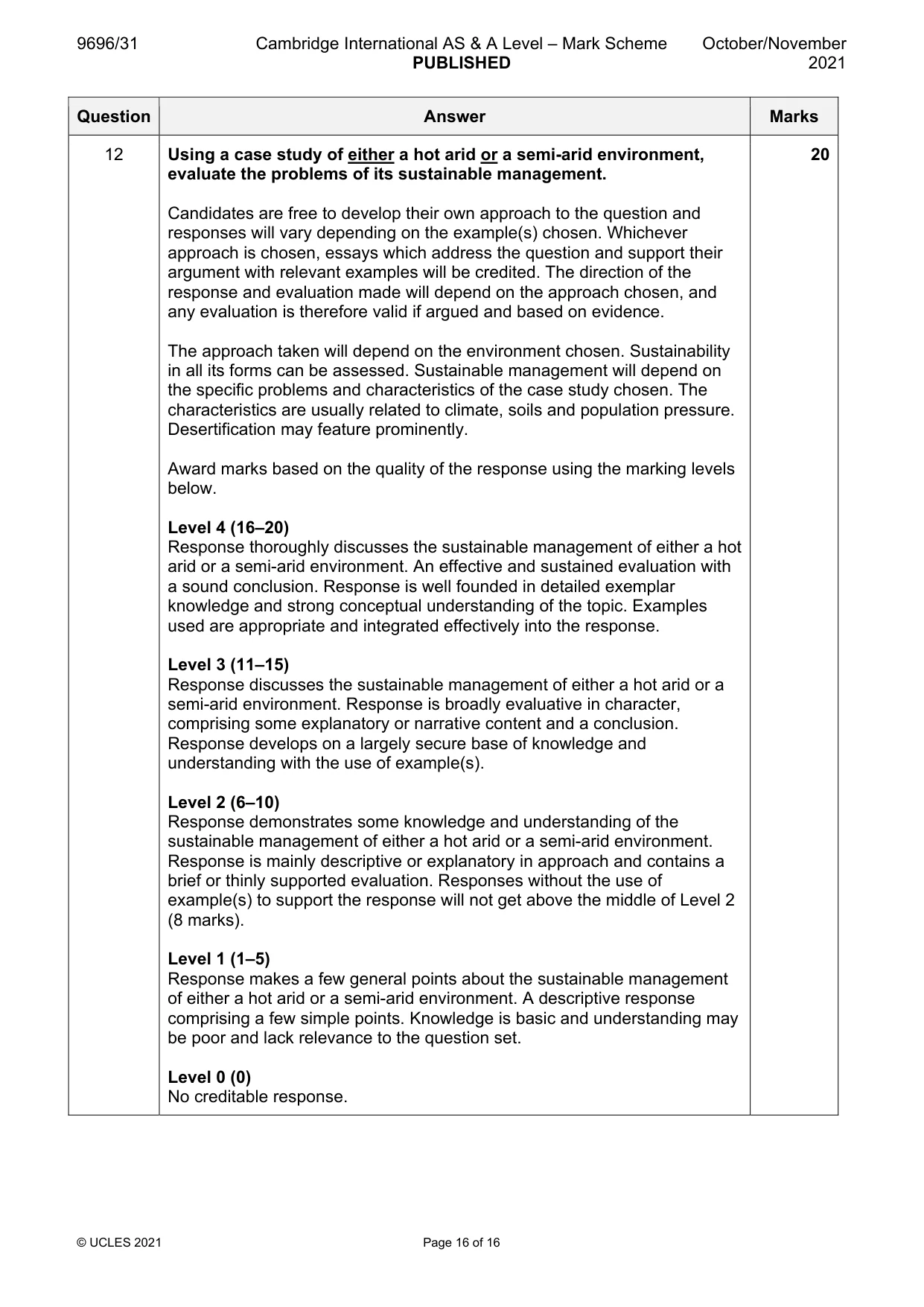
Mark scheme: 12 Using a case study of either a hot arid or a semi-arid environment, 20 evaluate the problems of its sustainable management. Candidates are free to develop their own approach to the question and responses will vary depending on the example(s) chosen. Whichever approach is chosen, essays which address the question and support their argument with relevant examples will be credited. The direction of the response and evaluation made will depend on the approach chosen, and any evaluation is therefore valid if argued and based on evidence. The approach taken will depend on the environment chosen. Sustainability in all its forms can be assessed. Sustainable management will depend on the specific problems and characteristics of the case study chosen. The characteristics are usually related to climate, soils and population pressure. Desertification may feature prominently. Award marks based on the quality of the response using the marking levels below. Level 4 (16–20) Response thoroughly discusses the sustainable management of either a hot arid or a semi-arid environment. An effective and sustained evaluation with a sound conclusion. Response is well founded in detailed exemplar knowledge and strong conceptual understanding of the topic. Examples used are appropriate and integrated effectively into the response. Level 3 (11–15) Response discusses the sustainable management of either a hot arid or a semi-arid environment. Response is broadly evaluative in character, comprising some explanatory or narrative content and a conclusion. Response develops on a largely secure base of knowledge and understanding with the use of example(s). Level 2 (6–10) Response demonstrates some knowledge and understanding of the sustainable management of either a hot arid or a semi-arid environment. Response is mainly descriptive or explanatory in approach and contains a brief or thinly supported evaluation. Responses without the use of example(s) to support the response will not get above the middle of Level 2 (8 marks). Level 1 (1–5) Response makes a few general points about the sustainable management of either a hot arid or a semi-arid environment. A descriptive response comprising a few simple points. Knowledge is basic and understanding may be poor and lack relevance to the question set. Level 0 (0) No creditable response.
What was in this paper
The subtopics covered by these 12 questions, and how many questions each got. Open one in a new tab to see every Cambridge question on it.
2Hot arid and semi-arid climates2Humid tropical (rainforest) ecosystems and seasonally humid tropical (savanna) ecosystems2Characteristics and formation of coastal landforms1Coastal processes1Coral reefs1Hazards resulting from tectonic processes1Sustainable management of hot arid and semi-arid environments1Tropical climates1What you needed in this session
Cambridge’s own grade thresholds for 2021 Oct/Nov, Paper 3 · Variant 1. A higher threshold means an easier paper — the bar moves with how the cohort did.