Cambridge A Level Geography 9696 — 2021 Oct/Nov Paper 3 · Variant 2
9696/32/O/N/21 · 12 questions · 60 marks · ≈68 min
The question paper and its mark scheme, free to read here and free to download. This is Cambridge’s own paper, exactly as it was sat.
Question paper4 pages

Mark scheme18 pages
Answers below. Sit the paper first if you are practising.


Questions as text
Q1 · The nutrient cycle for a humid tropical (rainforest) ecosystem
1 Fig. 1.1 shows the nutrient cycle for a humid tropical (rainforest) ecosystem. (a) Compare the size of the flows and stores in the nutrient cycle shown in Fig. 1.1. [4] (b) Explain how deforestation is likely to affect the nutrient cycle shown in Fig. 1.1. [6]
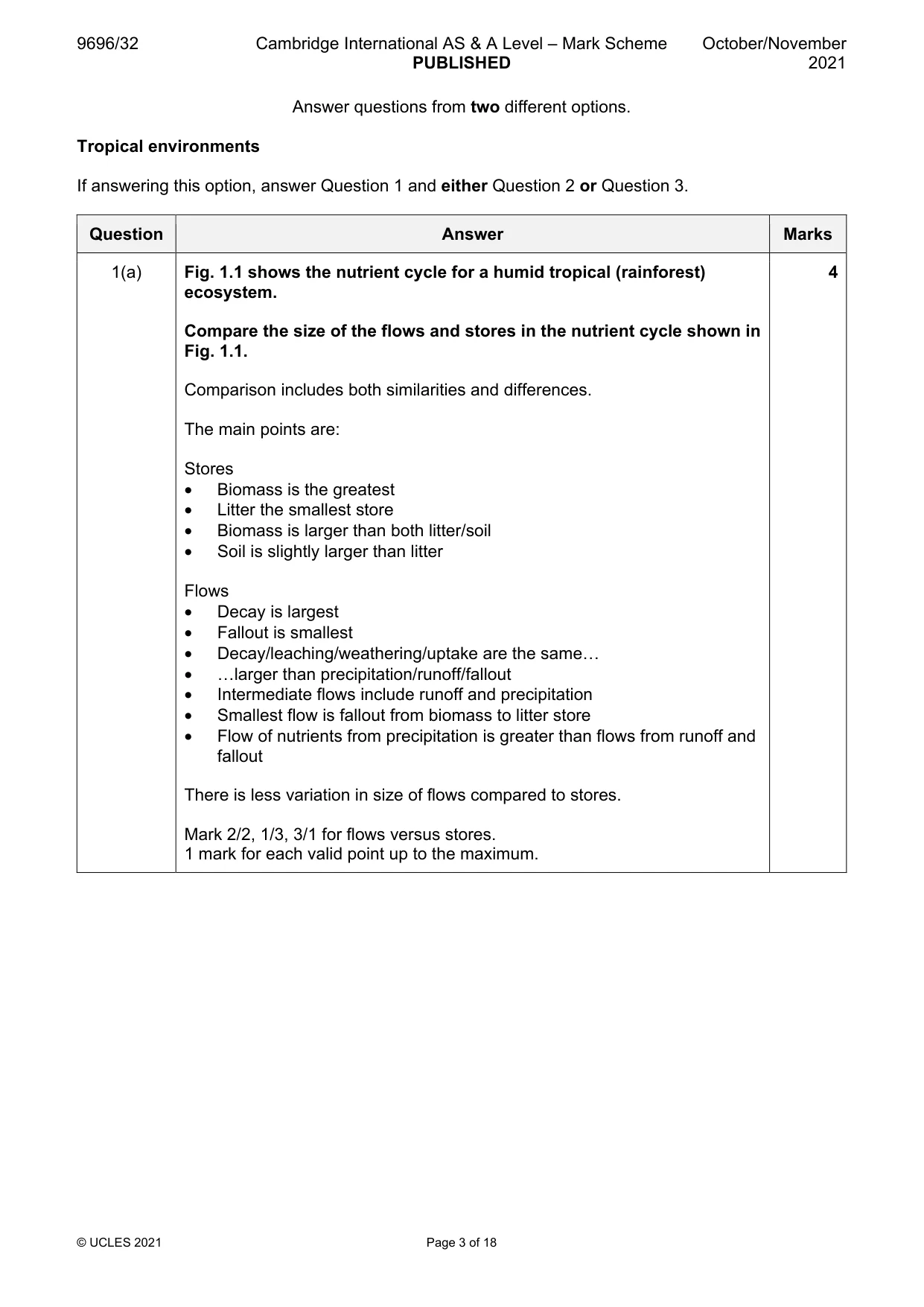
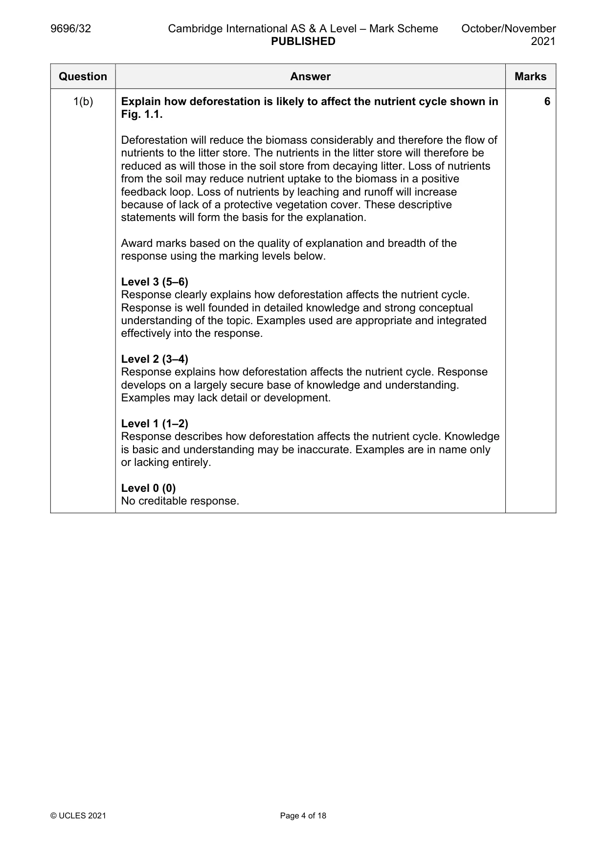
Mark scheme: Question Answer Marks 1(a) Fig. 1.1 shows the nutrient cycle for a humid tropical (rainforest) 4 ecosystem. Compare the size of the flows and stores in the nutrient cycle shown in Fig. 1.1. Comparison includes both similarities and differences. The main points are: Stores • Biomass is the greatest • Litter the smallest store • Biomass is larger than both litter/soil • Soil is slightly larger than litter Flows • Decay is largest • Fallout is smallest • Decay/leaching/weathering/uptake are the same… • …larger than precipitation/runoff/fallout • Intermediate flows include runoff and precipitation • Smallest flow is fallout from biomass to litter store • Flow of nutrients from precipitation is greater than flows from runoff and fallout There is less variation in size of flows compared to stores. Mark 2/2, 1/3, 3/1 for flows versus stores. 1 mark for each valid point up to the maximum. 1(b) Explain how deforestation is likely to affect the nutrient cycle shown in 6 Fig. 1.1. Deforestation will reduce the biomass considerably and therefore the flow of nutrients to the litter store. The nutrients in the litter store will therefore be reduced as will those in the soil store from decaying litter. Loss of nutrients from the soil may reduce nutrient uptake to the biomass in a positive feedback loop. Loss of nutrients by leaching and runoff will increase because of lack of a protective vegetation cover. These descriptive statements will form the basis for the explanation. Award marks based on the quality of explanation and breadth of the response using the marking levels below. Level 3 (5–6) Response clearly explains how deforestation affects the nutrient cycle. Response is well founded in detailed knowledge and strong conceptual understanding of the topic. Examples used are appropriate and integrated effectively into the response. Level 2 (3–4) Response explains how deforestation affects the nutrient cycle. Response develops on a largely secure base of knowledge and understanding. Examples may lack detail or development. Level 1 (1–2) Response describes how deforestation affects the nutrient cycle. Knowledge is basic and understanding may be inaccurate. Examples are in name only or lacking entirely. Level 0 (0) No creditable response.
Q2 · Evaluate the view that chemical weathering is the most important influence on the…
2 Evaluate the view that chemical weathering is the most important influence on the formation of tropical karst landforms. [20]
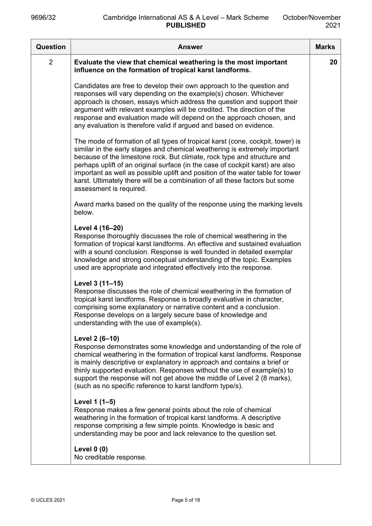
Mark scheme: 2 Evaluate the view that chemical weathering is the most important 20 influence on the formation of tropical karst landforms. Candidates are free to develop their own approach to the question and responses will vary depending on the example(s) chosen. Whichever approach is chosen, essays which address the question and support their argument with relevant examples will be credited. The direction of the response and evaluation made will depend on the approach chosen, and any evaluation is therefore valid if argued and based on evidence. The mode of formation of all types of tropical karst (cone, cockpit, tower) is similar in the early stages and chemical weathering is extremely important because of the limestone rock. But climate, rock type and structure and perhaps uplift of an original surface (in the case of cockpit karst) are also important as well as possible uplift and position of the water table for tower karst. Ultimately there will be a combination of all these factors but some assessment is required. Award marks based on the quality of the response using the marking levels below. Level 4 (16–20) Response thoroughly discusses the role of chemical weathering in the formation of tropical karst landforms. An effective and sustained evaluation with a sound conclusion. Response is well founded in detailed exemplar knowledge and strong conceptual understanding of the topic. Examples used are appropriate and integrated effectively into the response. Level 3 (11–15) Response discusses the role of chemical weathering in the formation of tropical karst landforms. Response is broadly evaluative in character, comprising some explanatory or narrative content and a conclusion. Response develops on a largely secure base of knowledge and understanding with the use of example(s). Level 2 (6–10) Response demonstrates some knowledge and understanding of the role of chemical weathering in the formation of tropical karst landforms. Response is mainly descriptive or explanatory in approach and contains a brief or thinly supported evaluation. Responses without the use of example(s) to support the response will not get above the middle of Level 2 (8 marks), (such as no specific reference to karst landform type/s). Level 1 (1–5) Response makes a few general points about the role of chemical weathering in the formation of tropical karst landforms. A descriptive response comprising a few simple points. Knowledge is basic and understanding may be poor and lack relevance to the question set. Level 0 (0) No creditable response.
Q3 · For one type of tropical ecosystem, assess the role of climate in the development of soil…
3 For one type of tropical ecosystem, assess the role of climate in the development of soil types and profile characteristics. [20] Coastal environments If answering this option, answer Question 4 and either Question 5 or Question 6.
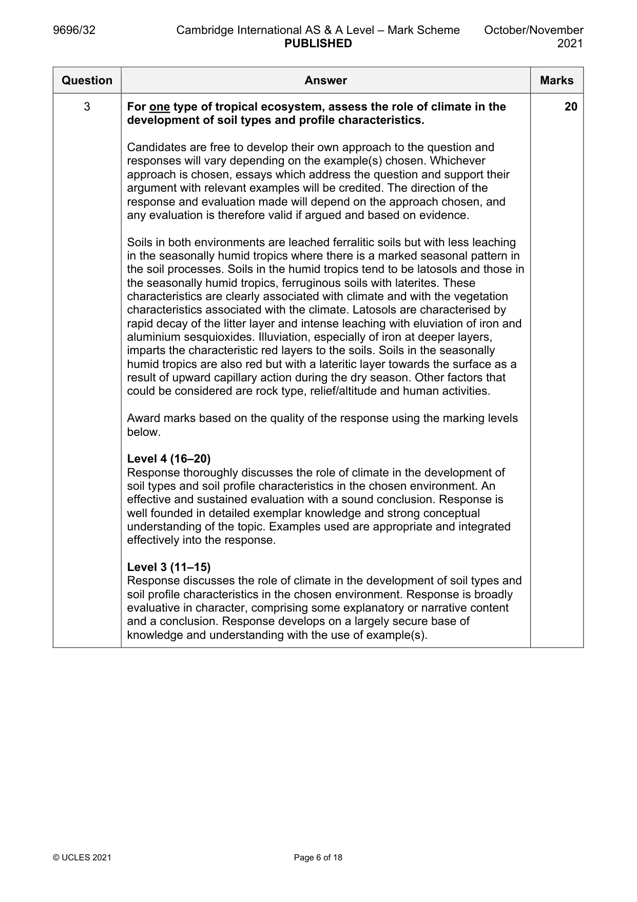
Mark scheme: 3 For one type of tropical ecosystem, assess the role of climate in the 20 development of soil types and profile characteristics. Candidates are free to develop their own approach to the question and responses will vary depending on the example(s) chosen. Whichever approach is chosen, essays which address the question and support their argument with relevant examples will be credited. The direction of the response and evaluation made will depend on the approach chosen, and any evaluation is therefore valid if argued and based on evidence. Soils in both environments are leached ferralitic soils but with less leaching in the seasonally humid tropics where there is a marked seasonal pattern in the soil processes. Soils in the humid tropics tend to be latosols and those in the seasonally humid tropics, ferruginous soils with laterites. These characteristics are clearly associated with climate and with the vegetation characteristics associated with the climate. Latosols are characterised by rapid decay of the litter layer and intense leaching with eluviation of iron and aluminium sesquioxides. Illuviation, especially of iron at deeper layers, imparts the characteristic red layers to the soils. Soils in the seasonally humid tropics are also red but with a lateritic layer towards the surface as a result of upward capillary action during the dry season. Other factors that could be considered are rock type, relief/altitude and human activities. Award marks based on the quality of the response using the marking levels below. Level 4 (16–20) Response thoroughly discusses the role of climate in the development of soil types and soil profile characteristics in the chosen environment. An effective and sustained evaluation with a sound conclusion. Response is well founded in detailed exemplar knowledge and strong conceptual understanding of the topic. Examples used are appropriate and integrated effectively into the response. Level 3 (11–15) Response discusses the role of climate in the development of soil types and soil profile characteristics in the chosen environment. Response is broadly evaluative in character, comprising some explanatory or narrative content and a conclusion. Response develops on a largely secure base of knowledge and understanding with the use of example(s). 3 Level 2 (6–10) Response demonstrates some knowledge and understanding of soil types and soil profile characteristics in the chosen environment. Response is mainly descriptive or explanatory in approach and contains a brief or thinly supported evaluation. Responses without the use of example(s) to support the response will not get above the middle of Level 2 (8 marks). Level 1 (1–5) Response makes a few general points about soil types and soil profile characteristics in the chosen environment. A descriptive response comprising a few simple points. Knowledge is basic and understanding may be poor and lack relevance to the question set. Level 0 (0) No creditable response. Coastal environments If answering this option, answer Question 4 and either Question 5 or Question 6.
Q4 · Level of risk to coral reefs in regions of the world
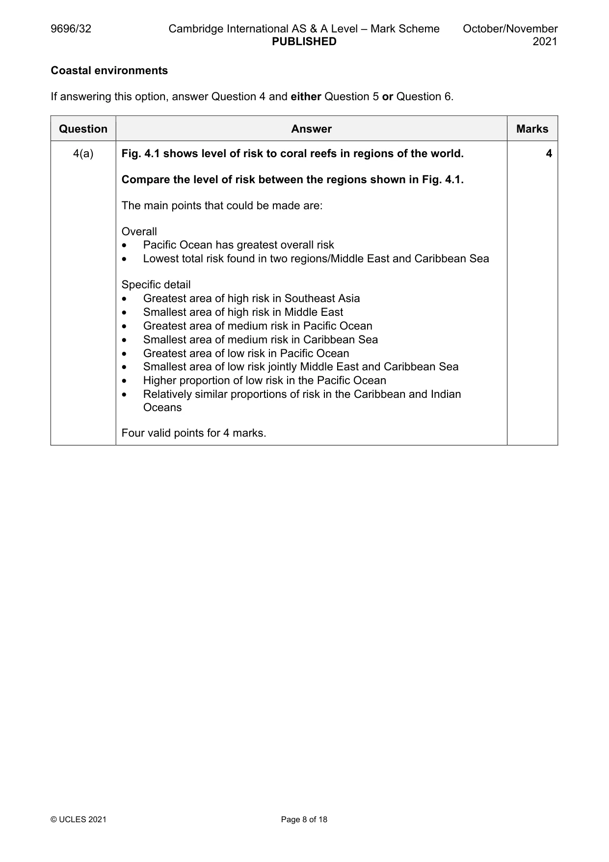
4 Fig. 4.1 shows level of risk to coral reefs in regions of the world. (a) Compare the level of risk between the regions shown in Fig. 4.1. [4] (b) Explain two reasons why the level of risk to coral reefs varies. [6]
Mark scheme: 4(a) Fig. 4.1 shows level of risk to coral reefs in regions of the world. 4 Compare the level of risk between the regions shown in Fig. 4.1. The main points that could be made are: Overall • Pacific Ocean has greatest overall risk • Lowest total risk found in two regions/Middle East and Caribbean Sea Specific detail • Greatest area of high risk in Southeast Asia • Smallest area of high risk in Middle East • Greatest area of medium risk in Pacific Ocean • Smallest area of medium risk in Caribbean Sea • Greatest area of low risk in Pacific Ocean • Smallest area of low risk jointly Middle East and Caribbean Sea • Higher proportion of low risk in the Pacific Ocean • Relatively similar proportions of risk in the Caribbean and Indian Oceans Four valid points for 4 marks. 4(b) Explain two reasons why the level of risk to coral reefs varies. 6 This will be determined by the specific risks faced by coral reefs. The risk needs to be related to the conditions needed for coral growth. There might be an argument that all coral reefs are at risk from rising sea temperatures as a result of global warming but that other risks, such as from marine and land-based pollution, human interference (tourism, fishing), storms, etc., might be location specific. This is a generic question and need not be related to the resource, but might be. Award marks based on the quality of explanation and breadth of the response using the marking levels below. Level 3 (5–6) Response clearly explains why the risk to coral reefs varies and is well balanced between the two reasons. Response is well founded in detailed knowledge and strong conceptual understanding of the topic. Examples used are appropriate and integrated effectively into the response. Level 2 (3–4) Response explains why the risk to coral reefs might vary but may be unbalanced between the two reasons or may only give one well explained reason. Response develops on a largely secure base of knowledge and understanding. Examples may lack detail or development. Level 1 (1–2) Response describes how coral reefs might be at risk. Knowledge is basic and understanding may be inaccurate. Examples are in name only or lacking entirely. Level 0 (0) No creditable response.
Q5 · ‘The erosion of coastal cliffs is the main source of sediment in coastal areas.’ How far…
5 ‘The erosion of coastal cliffs is the main source of sediment in coastal areas.’ How far do you agree? [20]
Mark scheme: 5 ‘The erosion of coastal cliffs is the main source of sediment in coastal 20 areas.’ How far do you agree? Candidates are free to develop their own approach to the question and responses will vary depending on the example(s) chosen. Whichever approach is chosen, essays which address the question and support their argument with relevant examples will be credited. The direction of the response and evaluation made will depend on the approach chosen, and any evaluation is therefore valid if argued and based on evidence. The erosion of coastal cliffs is a major source of sediment but the most important source of sediment is from river input. Sediment is also brought to coastal areas from offshore. Most of the shingle beaches in British coastal waters are formed from glacial deposits brought onshore by rising sea levels in post-glacial times. There also could be discussion of the nature of the sediment. River input is mostly fine-grained material. That produced by erosion of coastal cliffs tends, initially, to be more coarse-grained. Discussion of longshore drift is relevant if related to a specific source or a specific landform, e.g. a spit. Reference to winds and tides is credited if relevant. Award marks based on the quality of the response using the marking levels below. Level 4 (16–20) Response thoroughly discusses the source of sediments in coastal areas. An effective and sustained evaluation with a sound conclusion. Response is well founded in detailed exemplar knowledge and strong conceptual understanding of the topic. Examples used are appropriate and integrated effectively into the response. Level 3 (11–15) Response discusses the source of sediments in coastal areas. Response is broadly evaluative in character, comprising some explanatory or narrative content and a conclusion. Response develops on a largely secure base of knowledge and understanding with the use of example(s). Level 2 (6–10) Response demonstrates some knowledge and understanding of the source of sediments in coastal areas. Response is mainly descriptive or explanatory in approach and contains a brief or thinly supported evaluation. Responses without the use of example(s) to support the response will not get above the middle of Level 2 (8 marks). Level 1 (1–5) Response makes a few general points about the source of sediments in coastal areas. A descriptive response comprising a few simple points. Knowledge is basic and understanding may be poor and lack relevance to the question set. Level 0 (0) No creditable response.
Q6 · To what extent are the advantages of a hard engineering approach greater than the…
6 To what extent are the advantages of a hard engineering approach greater than the disadvantages for the sustainable management of coasts? [20] Hazardous environments If answering this option, answer Question 7 and either Question 8 or Question 9.
Mark scheme: 6 To what extent are the advantages of a hard engineering approach 20 greater than the disadvantages for the sustainable management of coasts? Candidates are free to develop their own approach to the question and responses will vary depending on the example(s) chosen. Whichever approach is chosen, essays which address the question and support their argument with relevant examples will be credited. The direction of the response and evaluation made will depend on the approach chosen, and any evaluation is therefore valid if argued and based on evidence. The question does not ask for a specific stretch of coast but the answers will be expected to use specific examples to illustrate their assessment of the question. A variety of hard engineering strategies is expected with an assessment of their advantages and disadvantages. These could be couched in terms of sustainability, cost, appearance, etc. Award marks based on the quality of the response using the marking levels below. Level 4 (16–20) Response thoroughly discusses the extent to which the advantages of a hard engineering approach to the sustainable management of coasts are greater than the disadvantages. An effective and sustained evaluation with a sound conclusion. Response is well founded in detailed exemplar knowledge and strong conceptual understanding of the topic. Examples used are appropriate and integrated effectively into the response. Level 3 (11–15) Response discusses the extent to which the advantages of a hard engineering approach to the sustainable management of coasts are greater than the disadvantages. Response is broadly evaluative in character, comprising some explanatory or narrative content and a conclusion. Response develops on a largely secure base of knowledge and understanding with the use of example(s). Level 2 (6–10) Response demonstrates some knowledge and understanding of the extent to which the advantages of a hard engineering approach to the sustainable management of coasts are greater than the disadvantages. Response is mainly descriptive or explanatory in approach and contains a brief or thinly supported evaluation. Responses without the use of example(s) to support the response will not get above the middle of Level 2 (8 marks). Level 1 (1–5) Response makes a few general points about the extent to which the advantages of a hard engineering approach to the sustainable management of coasts are greater than the disadvantages. A descriptive response comprising a few simple points. Knowledge is basic and understanding may be poor and lack relevance to the question set. Level 0 (0) No creditable response. Hazardous environments If answering this option, answer Question 7 and either Question 8 or Question 9.
Q7 · The number of tornadoes and the number of tornado-related deaths, USA, 2012–18
7 Fig. 7.1 shows the number of tornadoes and the number of tornado-related deaths, USA, 2012–18. (a) Describe the relationship between the number of tornadoes and the number of tornado- related deaths shown in Fig. 7.1. [3] (b) Suggest reasons for the relationship you described in (a). [7]
Mark scheme: 7(a) Fig. 7.1 shows the number of tornadoes and the number of tornado- 3 related deaths, USA, 2012–18. Describe the relationship between the number of tornadoes and the number of tornado-related deaths shown in Fig. 7.1. Main points • Number of tornadoes is highly variable year by year, and the number of deaths seems only marginally to be related to the number of tornadoes, especially for years 2012 to 2014 • There seems to be a poor negative relationship influenced by the years 2012 to 2014 but there is a positive relationship between the years 2015 to 2018 Two main points with data for 3 marks. 7(b) Suggest reasons for the relationship you described in (a). 7 If the answer to part (a) is that there is no relationship, then analysis will be because the number of deaths might be related to the strength of the tornado, warning times, population density, degree of preparedness, building design and not necessarily to the number of tornadoes. There may be reference to the contrast between the years 2012 to 2014 and 2015 to 2018 in terms of better prediction and warning and more hazard mitigation technology. Award marks based on the quality of explanation and breadth of the response using the marking levels below. Level 3 (6–7) Response clearly explains why tornado frequency and number of deaths might not be related. Response is well founded in detailed knowledge and strong conceptual understanding of the topic. Examples used are appropriate and integrated effectively into the response. Level 2 (3–5) Response explains why tornado frequency and number of deaths might not be related. Response develops on a largely secure base of knowledge and understanding. Examples may lack detail or development. Level 1 (1–2) Response describes how tornado frequency and number of deaths might not be related. Knowledge is basic and understanding may be inaccurate. Examples are in name only or lacking entirely. Level 0 (0) No creditable response.
Q8 · Evaluate the relative importance of hazards resulting from earthquakes
8 Evaluate the relative importance of hazards resulting from earthquakes. [20]
Mark scheme: 8 Evaluate the relative importance of hazards resulting from 20 earthquakes. Candidates are free to develop their own approach to the question and responses will vary depending on the example(s) chosen. Whichever approach is chosen, essays which address the question and support their argument with relevant examples will be credited. The direction of the response and evaluation made will depend on the approach chosen, and any evaluation is therefore valid if argued and based on evidence. The primary hazards are related to ground shaking, building destruction and infrastructural damage, loss of life, etc. There are also secondary hazards such as soil liquefaction, landslides and possibly disease. These, and others, will need assessment. Evaluation will be in terms of the impacts on lives and properties over both the short-term and long-term. The distinction between primary and secondary hazards is often unclear, thus answers need not make the distinction but discuss the specific hazards. Award marks based on the quality of the response using the marking levels below. Level 4 (16–20) Response thoroughly discusses the relative importance of hazards resulting from earthquakes. An effective and sustained evaluation with a sound conclusion. Response is well founded in detailed exemplar knowledge and strong conceptual understanding of the topic. Examples used are appropriate and integrated effectively into the response. Level 3 (11–15) Response discusses the relative importance of hazards resulting from earthquakes. Response is broadly evaluative in character, comprising some explanatory or narrative content and a conclusion. Response develops on a largely secure base of knowledge and understanding with the use of example(s). Level 2 (6–10) Response demonstrates some knowledge and understanding of the relative importance of hazards resulting from earthquakes. Response is mainly descriptive or explanatory in approach and contains a brief or thinly supported evaluation. Responses without the use of example(s) to support the response will not get above the middle of Level 2 (8 marks). Level 1 (1–5) Response makes a few general points about the relative importance of hazards resulting from earthquakes. A descriptive response comprising a few simple points. Knowledge is basic and understanding may be poor and lack relevance to the question set. Level 0 (0) No creditable response.
Q9 · ‘It is very difficult to prepare for the hazards from mass movements.’ How far do you…
9 ‘It is very difficult to prepare for the hazards from mass movements.’ How far do you agree with this statement? [20] Hot arid and semi-arid environments If answering this option, answer Question 10 and either Question 11 or Question 12.
Mark scheme: 9 ‘It is very difficult to prepare for the hazards from mass movements.’ 20 How far do you agree with this statement? Candidates are free to develop their own approach to the question and responses will vary depending on the example(s) chosen. Whichever approach is chosen, essays which address the question and support their argument with relevant examples will be credited. The direction of the response and evaluation made will depend on the approach chosen, and any evaluation is therefore valid if argued and based on evidence. The answer needs to refer to different types of mass movement as the type will determine the nature of the hazards and how difficult it will be to prepare for them. Difficulty will depend on how difficult it is to predict them and then prepare for them. Hazard mapping and monitoring are relevant procedures to discuss with respect to specific mass movements. Award marks based on the quality of the response using the marking levels below. Level 4 (16–20) Response thoroughly discusses hazards from mass movements and how difficult it is to prepare for these hazards. An effective and sustained evaluation with a sound conclusion. Response is well founded in detailed exemplar knowledge and strong conceptual understanding of the topic. Examples used are appropriate and integrated effectively into the response. Level 3 (11–15) Response discusses hazards from mass movements and how difficult it is to prepare for these hazards. Response is broadly evaluative in character, comprising some explanatory or narrative content and a conclusion. Response develops on a largely secure base of knowledge and understanding with the use of example(s). Level 2 (6–10) Response demonstrates some knowledge and understanding of hazards from mass movements and how difficult it is to prepare for these hazards. Response is mainly descriptive or explanatory in approach and contains a brief or thinly supported evaluation. Responses without the use of example(s) to support the response will not get above the middle of Level 2 (8 marks). Level 1 (1–5) Response makes a few general points about the hazards from mass movements. A descriptive response comprising a few simple points. Knowledge is basic and understanding may be poor and lack relevance to the question set. Level 0 (0) No creditable response. Hot arid and semi-arid environments If answering this option, answer Question 10 and either Question 11 or Question 12.
Q10 · A photograph which shows a flash flood in a hot arid environment in Algeria
10 Fig. 10.1 is a photograph which shows a flash flood in a hot arid environment in Algeria. (a) Describe the characteristics of the flash flood shown in Fig. 10.1. [4] (b) Explain the role of flash floods in shaping landforms in a hot arid environment. [6]
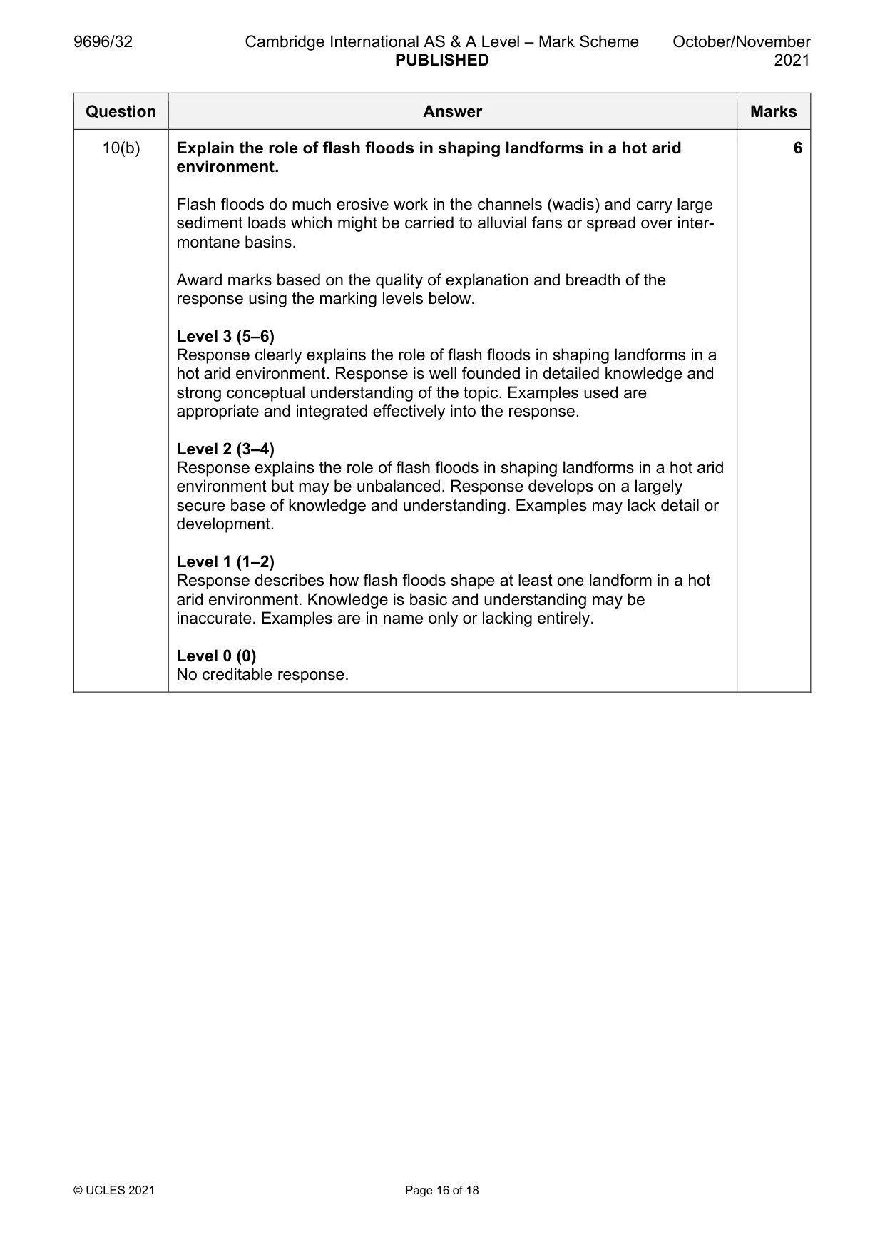
Mark scheme: 10(a) Fig. 10.1 is a photograph which shows a flash flood in a hot arid 4 environment in Algeria. Describe the characteristics of the flash flood shown in Fig. 10.1. The main characteristics are: Channel • Wide • Deep • Submerged vegetation within River • High velocity/powerful/erosive • High discharge at/or above bankfull • Turbulent flow • Heavily sediment laden • Seems to be carrying vegetation debris but some might have been engulfed rather than swept away • Spread across and over the channel • Appears to be erosive on the sides Four valid points for 4 marks. 10(b) Explain the role of flash floods in shaping landforms in a hot arid 6 environment. Flash floods do much erosive work in the channels (wadis) and carry large sediment loads which might be carried to alluvial fans or spread over inter- montane basins. Award marks based on the quality of explanation and breadth of the response using the marking levels below. Level 3 (5–6) Response clearly explains the role of flash floods in shaping landforms in a hot arid environment. Response is well founded in detailed knowledge and strong conceptual understanding of the topic. Examples used are appropriate and integrated effectively into the response. Level 2 (3–4) Response explains the role of flash floods in shaping landforms in a hot arid environment but may be unbalanced. Response develops on a largely secure base of knowledge and understanding. Examples may lack detail or development. Level 1 (1–2) Response describes how flash floods shape at least one landform in a hot arid environment. Knowledge is basic and understanding may be inaccurate. Examples are in name only or lacking entirely. Level 0 (0) No creditable response.
Q11 · ‘Salt crystal growth is the most important weathering process in hot arid and semi-arid…
11 ‘Salt crystal growth is the most important weathering process in hot arid and semi-arid environments.’ How far do you agree? [20]
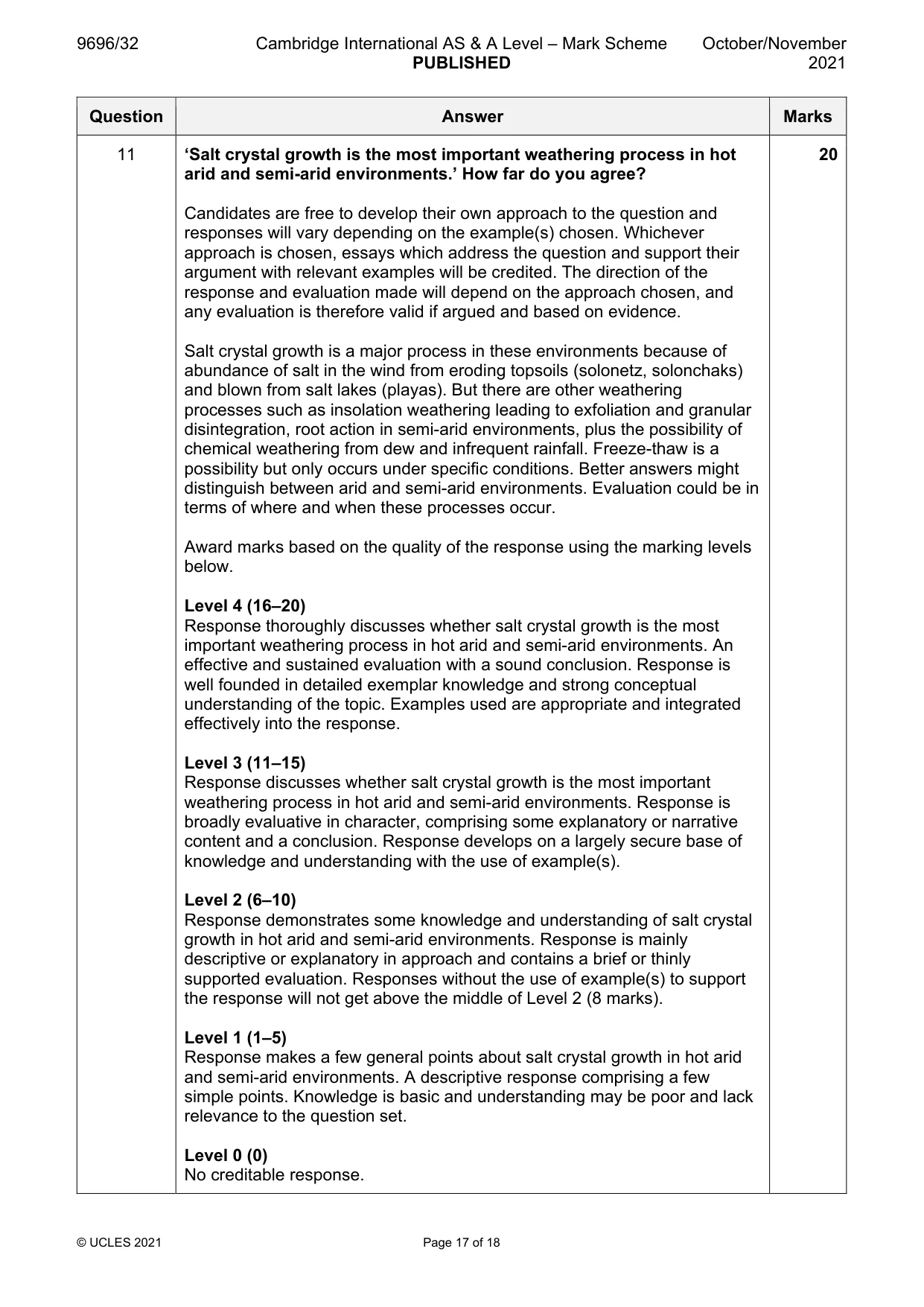
Mark scheme: 11 ‘Salt crystal growth is the most important weathering process in hot 20 arid and semi-arid environments.’ How far do you agree? Candidates are free to develop their own approach to the question and responses will vary depending on the example(s) chosen. Whichever approach is chosen, essays which address the question and support their argument with relevant examples will be credited. The direction of the response and evaluation made will depend on the approach chosen, and any evaluation is therefore valid if argued and based on evidence. Salt crystal growth is a major process in these environments because of abundance of salt in the wind from eroding topsoils (solonetz, solonchaks) and blown from salt lakes (playas). But there are other weathering processes such as insolation weathering leading to exfoliation and granular disintegration, root action in semi-arid environments, plus the possibility of chemical weathering from dew and infrequent rainfall. Freeze-thaw is a possibility but only occurs under specific conditions. Better answers might distinguish between arid and semi-arid environments. Evaluation could be in terms of where and when these processes occur. Award marks based on the quality of the response using the marking levels below. Level 4 (16–20) Response thoroughly discusses whether salt crystal growth is the most important weathering process in hot arid and semi-arid environments. An effective and sustained evaluation with a sound conclusion. Response is well founded in detailed exemplar knowledge and strong conceptual understanding of the topic. Examples used are appropriate and integrated effectively into the response. Level 3 (11–15) Response discusses whether salt crystal growth is the most important weathering process in hot arid and semi-arid environments. Response is broadly evaluative in character, comprising some explanatory or narrative content and a conclusion. Response develops on a largely secure base of knowledge and understanding with the use of example(s). Level 2 (6–10) Response demonstrates some knowledge and understanding of salt crystal growth in hot arid and semi-arid environments. Response is mainly descriptive or explanatory in approach and contains a brief or thinly supported evaluation. Responses without the use of example(s) to support the response will not get above the middle of Level 2 (8 marks). Level 1 (1–5) Response makes a few general points about salt crystal growth in hot arid and semi-arid environments. A descriptive response comprising a few simple points. Knowledge is basic and understanding may be poor and lack relevance to the question set. Level 0 (0) No creditable response.
Q12 · Assess the variability of temperature and precipitation between hot arid and semi-arid…
12 Assess the variability of temperature and precipitation between hot arid and semi-arid environments. [20]
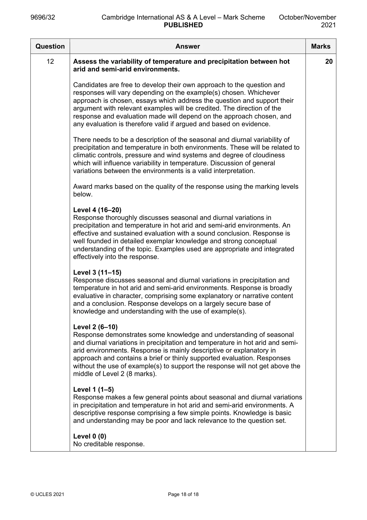
Mark scheme: 12 Assess the variability of temperature and precipitation between hot 20 arid and semi-arid environments. Candidates are free to develop their own approach to the question and responses will vary depending on the example(s) chosen. Whichever approach is chosen, essays which address the question and support their argument with relevant examples will be credited. The direction of the response and evaluation made will depend on the approach chosen, and any evaluation is therefore valid if argued and based on evidence. There needs to be a description of the seasonal and diurnal variability of precipitation and temperature in both environments. These will be related to climatic controls, pressure and wind systems and degree of cloudiness which will influence variability in temperature. Discussion of general variations between the environments is a valid interpretation. Award marks based on the quality of the response using the marking levels below. Level 4 (16–20) Response thoroughly discusses seasonal and diurnal variations in precipitation and temperature in hot arid and semi-arid environments. An effective and sustained evaluation with a sound conclusion. Response is well founded in detailed exemplar knowledge and strong conceptual understanding of the topic. Examples used are appropriate and integrated effectively into the response. Level 3 (11–15) Response discusses seasonal and diurnal variations in precipitation and temperature in hot arid and semi-arid environments. Response is broadly evaluative in character, comprising some explanatory or narrative content and a conclusion. Response develops on a largely secure base of knowledge and understanding with the use of example(s). Level 2 (6–10) Response demonstrates some knowledge and understanding of seasonal and diurnal variations in precipitation and temperature in hot arid and semi- arid environments. Response is mainly descriptive or explanatory in approach and contains a brief or thinly supported evaluation. Responses without the use of example(s) to support the response will not get above the middle of Level 2 (8 marks). Level 1 (1–5) Response makes a few general points about seasonal and diurnal variations in precipitation and temperature in hot arid and semi-arid environments. A descriptive response comprising a few simple points. Knowledge is basic and understanding may be poor and lack relevance to the question set. Level 0 (0) No creditable response.
What was in this paper
The subtopics covered by these 12 questions, and how many questions each got. Open one in a new tab to see every Cambridge question on it.
2Coastal processes1Coral reefs1Hazards resulting from mass movements1Hazards resulting from tectonic processes1Hot arid and semi-arid climates1Humid tropical (rainforest) ecosystems and seasonally humid tropical (savanna) ecosystems1Landforms of tropical environments1Sustainable management in hazardous environments1Sustainable management of coasts1Sustainable management of tropical environments1What you needed in this session
Cambridge’s own grade thresholds for 2021 Oct/Nov, Paper 3 · Variant 2. A higher threshold means an easier paper — the bar moves with how the cohort did.