Cambridge A Level Geography 9696 — 2021 May/June Paper 3 · Variant 1
9696/31/M/J/21 · 12 questions · 60 marks · ≈68 min
The question paper and its mark scheme, free to read here and free to download. This is Cambridge’s own paper, exactly as it was sat.
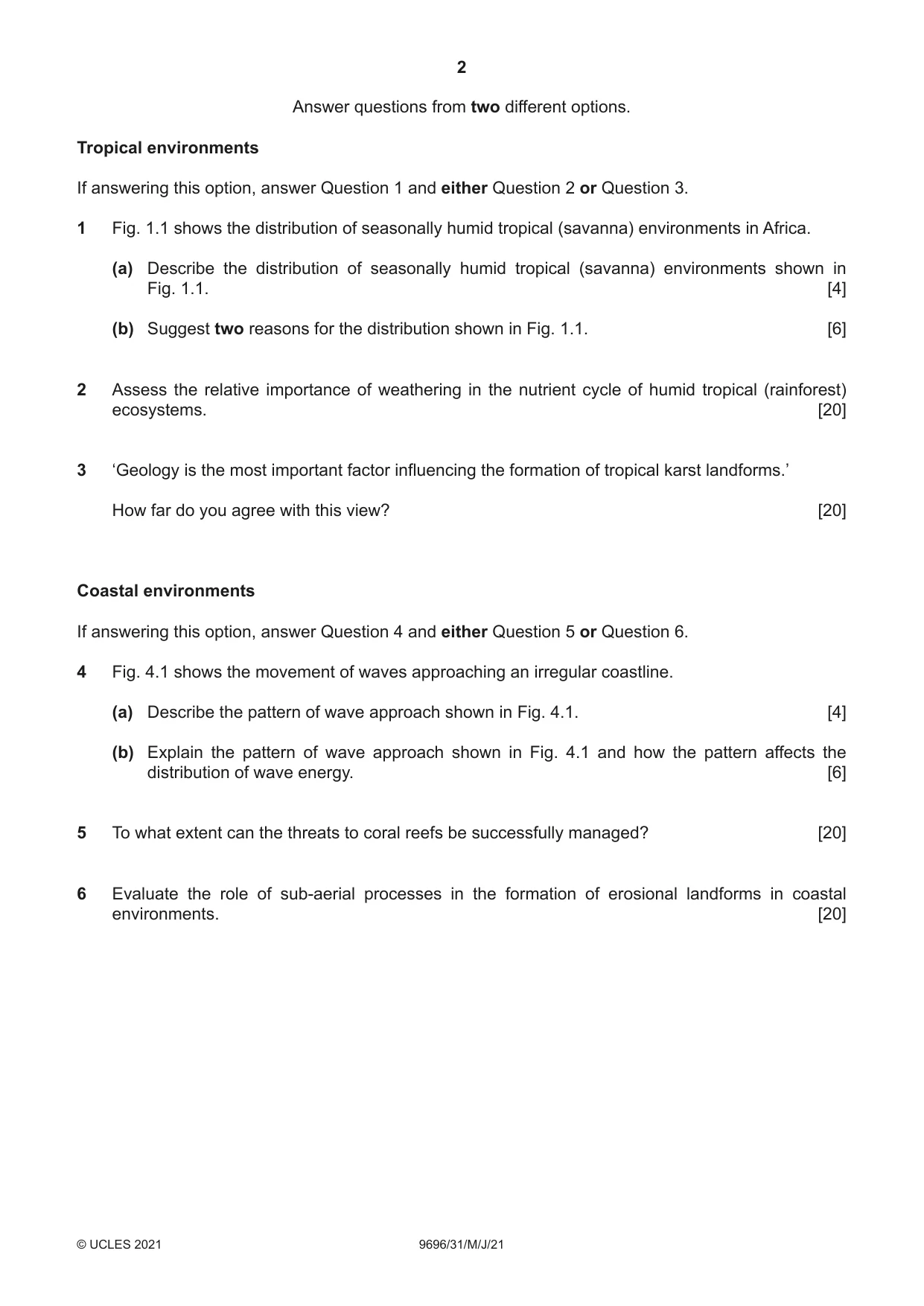
Question paper4 pages

Mark scheme25 pages
Answers below. Sit the paper first if you are practising.




Questions as text
Q1 · The distribution of seasonally humid tropical (savanna) environments in Africa
1 Fig. 1.1 shows the distribution of seasonally humid tropical (savanna) environments in Africa. (a) Describe the distribution of seasonally humid tropical (savanna) environments shown in Fig. 1.1. [4] (b) Suggest two reasons for the distribution shown in Fig. 1.1. [6]
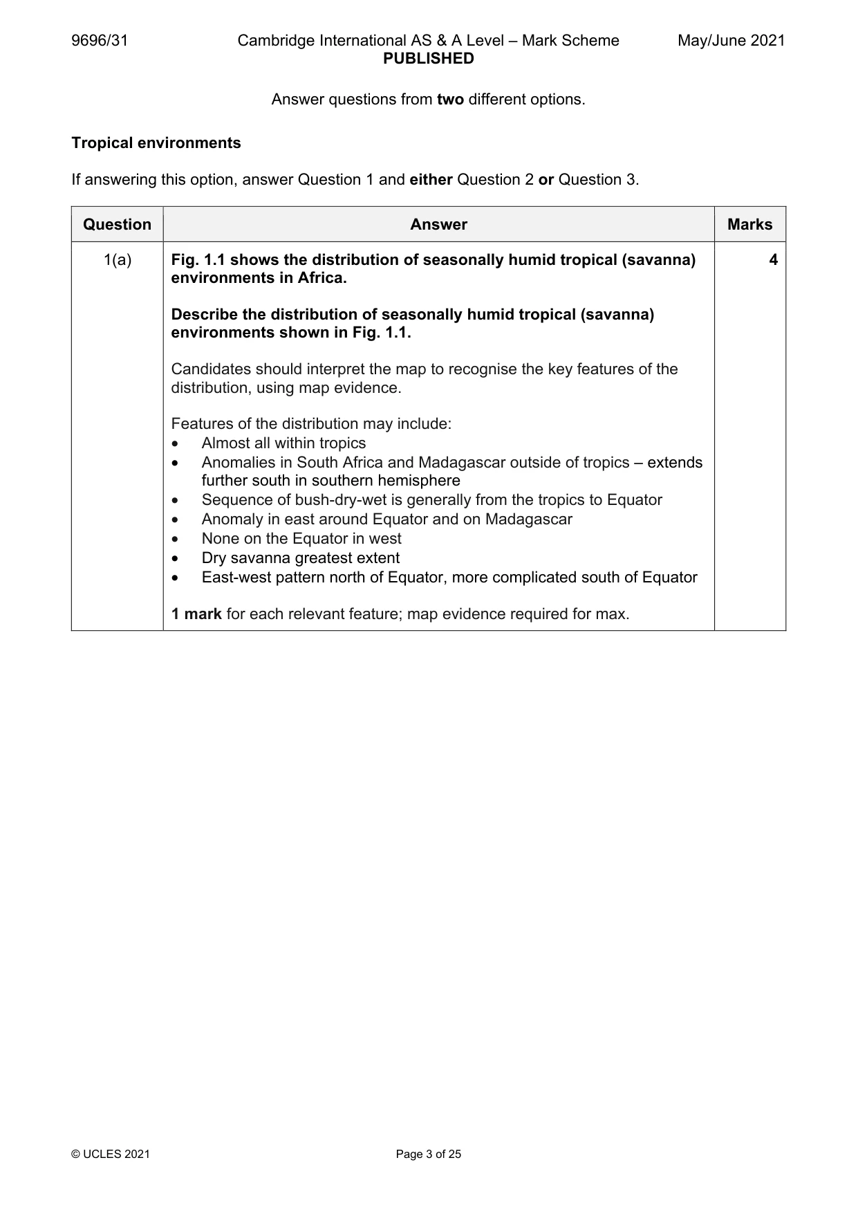
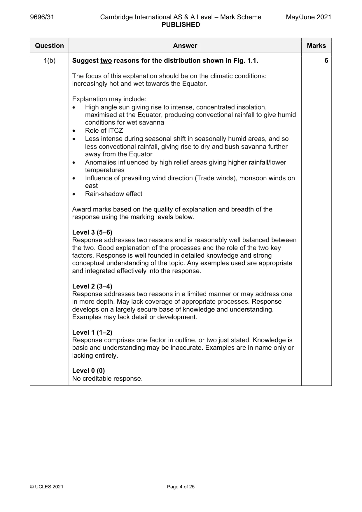
Mark scheme: Question Answer Marks 1(a) Fig. 1.1 shows the distribution of seasonally humid tropical (savanna) 4 environments in Africa. Describe the distribution of seasonally humid tropical (savanna) environments shown in Fig. 1.1. Candidates should interpret the map to recognise the key features of the distribution, using map evidence. Features of the distribution may include: • Almost all within tropics • Anomalies in South Africa and Madagascar outside of tropics – extends further south in southern hemisphere • Sequence of bush-dry-wet is generally from the tropics to Equator • Anomaly in east around Equator and on Madagascar • None on the Equator in west • Dry savanna greatest extent • East-west pattern north of Equator, more complicated south of Equator 1 mark for each relevant feature; map evidence required for max. 1(b) Suggest two reasons for the distribution shown in Fig. 1.1. 6 The focus of this explanation should be on the climatic conditions: increasingly hot and wet towards the Equator. Explanation may include: • High angle sun giving rise to intense, concentrated insolation, maximised at the Equator, producing convectional rainfall to give humid conditions for wet savanna • Role of ITCZ • Less intense during seasonal shift in seasonally humid areas, and so less convectional rainfall, giving rise to dry and bush savanna further away from the Equator • Anomalies influenced by high relief areas giving higher rainfall/lower temperatures • Influence of prevailing wind direction (Trade winds), monsoon winds on east • Rain-shadow effect Award marks based on the quality of explanation and breadth of the response using the marking levels below. Level 3 (5–6) Response addresses two reasons and is reasonably well balanced between the two. Good explanation of the processes and the role of the two key factors. Response is well founded in detailed knowledge and strong conceptual understanding of the topic. Any examples used are appropriate and integrated effectively into the response. Level 2 (3–4) Response addresses two reasons in a limited manner or may address one in more depth. May lack coverage of appropriate processes. Response develops on a largely secure base of knowledge and understanding. Examples may lack detail or development. Level 1 (1–2) Response comprises one factor in outline, or two just stated. Knowledge is basic and understanding may be inaccurate. Examples are in name only or lacking entirely. Level 0 (0) No creditable response.
Q2 · Assess the relative importance of weathering in the nutrient cycle of humid tropical…
2 Assess the relative importance of weathering in the nutrient cycle of humid tropical (rainforest) ecosystems. [20]
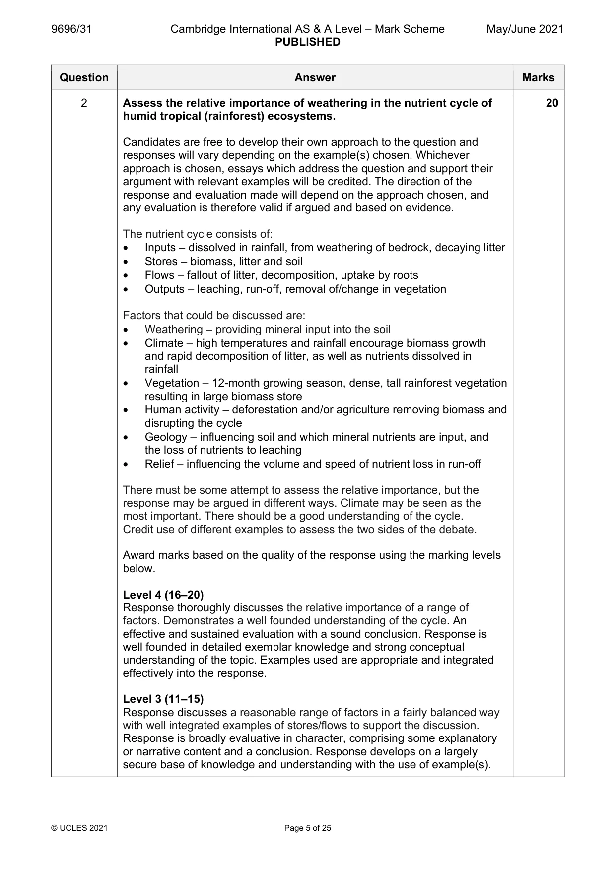
Mark scheme: 2 Assess the relative importance of weathering in the nutrient cycle of 20 humid tropical (rainforest) ecosystems. Candidates are free to develop their own approach to the question and responses will vary depending on the example(s) chosen. Whichever approach is chosen, essays which address the question and support their argument with relevant examples will be credited. The direction of the response and evaluation made will depend on the approach chosen, and any evaluation is therefore valid if argued and based on evidence. The nutrient cycle consists of: • Inputs – dissolved in rainfall, from weathering of bedrock, decaying litter • Stores – biomass, litter and soil • Flows – fallout of litter, decomposition, uptake by roots • Outputs – leaching, run-off, removal of/change in vegetation Factors that could be discussed are: • Weathering – providing mineral input into the soil • Climate – high temperatures and rainfall encourage biomass growth and rapid decomposition of litter, as well as nutrients dissolved in rainfall • Vegetation – 12-month growing season, dense, tall rainforest vegetation resulting in large biomass store • Human activity – deforestation and/or agriculture removing biomass and disrupting the cycle • Geology – influencing soil and which mineral nutrients are input, and the loss of nutrients to leaching • Relief – influencing the volume and speed of nutrient loss in run-off There must be some attempt to assess the relative importance, but the response may be argued in different ways. Climate may be seen as the most important. There should be a good understanding of the cycle. Credit use of different examples to assess the two sides of the debate. Award marks based on the quality of the response using the marking levels below. Level 4 (16–20) Response thoroughly discusses the relative importance of a range of factors. Demonstrates a well founded understanding of the cycle. An effective and sustained evaluation with a sound conclusion. Response is well founded in detailed exemplar knowledge and strong conceptual understanding of the topic. Examples used are appropriate and integrated effectively into the response. Level 3 (11–15) Response discusses a reasonable range of factors in a fairly balanced way with well integrated examples of stores/flows to support the discussion. Response is broadly evaluative in character, comprising some explanatory or narrative content and a conclusion. Response develops on a largely secure base of knowledge and understanding with the use of example(s). 2 Level 2 (6–10) Response demonstrates some knowledge and understanding of a narrow range of factors, but not necessarily in a balanced way. Response is mainly descriptive or explanatory in approach and contains a brief or thinly supported evaluation. Responses without the use of example(s) to support the response will not get above the middle of Level 2 (8 marks). Level 1 (1–5) Response makes a few general points about factors without the necessary focus on their influence. A descriptive response comprising a few simple points. Knowledge is basic and understanding may be poor and lack relevance to the question set. Level 0 (0) No creditable response.
Q3 · ‘Geology is the most important factor influencing the formation of tropical karst…
3 ‘Geology is the most important factor influencing the formation of tropical karst landforms.’ How far do you agree with this view? [20] Coastal environments If answering this option, answer Question 4 and either Question 5 or Question 6.
Mark scheme: 3 ‘Geology is the most important factor influencing the formation of 20 tropical karst landforms.’ How far do you agree with this view? Candidates are free to develop their own approach to the question and responses will vary depending on the example(s) chosen. Whichever approach is chosen, essays which address the question and support their argument with relevant examples will be credited. The direction of the response and evaluation made will depend on the approach chosen, and any evaluation is therefore valid if argued and based on evidence. Tropical karst landforms include: • Cone • Cockpit • Tower Factors include: • Geology – including lithology and structure • Climate – temperature and precipitation • Vegetation • Time scale of process operation • Tectonic uplift • Relief/topography • Hydrological characteristics – including the height of the water table Award marks based on the quality of the response using the marking levels below. Level 4 (16–20) Response thoroughly discusses the influences of geology and other factors on landforms and assesses their relative importance. An effective and sustained evaluation with a sound conclusion. Response is well founded in detailed exemplar knowledge and strong conceptual understanding of the topic. Examples used are appropriate and integrated effectively into the response. Level 3 (11–15) Response discusses influences of geology on landforms but with a limited consideration of other factors. Response is broadly evaluative in character, comprising some explanatory or narrative content and a conclusion. Response develops on a largely secure base of knowledge and understanding with the use of example(s). Level 2 (6–10) Response demonstrates some knowledge and understanding of landforms but discussion of their influencing factors may be limited and consideration of the importance of their influence may be undeveloped. Response is mainly descriptive or explanatory in approach and contains a brief or thinly supported evaluation. Responses without the use of example(s) to support the response will not get above the middle of Level 2 (8 marks). 3 Level 1 (1–5) Response makes a few general points about landforms without the necessary focus on the influence of factors. A descriptive response comprising a few simple points. Knowledge is basic and understanding may be poor and lack relevance to the question set. Level 0 (0) No creditable response. Coastal environments If answering this option, answer Question 4 and either Question 5 or Question 6.
Q4 · The movement of waves approaching an irregular coastline
4 Fig. 4.1 shows the movement of waves approaching an irregular coastline. (a) Describe the pattern of wave approach shown in Fig. 4.1. [4] (b) Explain the pattern of wave approach shown in Fig. 4.1 and how the pattern affects the distribution of wave energy. [6]
Mark scheme: 4(a) Fig. 4.1 shows the movement of waves approaching an irregular 4 coastline. Describe the pattern of wave approach shown in Fig. 4.1. Candidates should interpret Fig. 4.1 to identify features of the pattern shown. The main features are: • Orthogonals are equally spaced away from the coast/change shape as they get closer to shore • As they approach the coast, they start to change direction/bend (wrap) around the headland • They converge on the sides of the headland • They diverge in the bays, very little wave energy • Concentrated where seabed contours are closer together • In bay parallel to shore 1 mark for each valid point. 4(b) Explain the pattern of wave approach shown in Fig. 4.1 and how the 6 pattern affects the distribution of wave energy. Candidates require an understanding of wave refraction and how it operates in the coastal system. When wave fronts approach the shore, they are slowed by friction from the sea bed. Near headlands, the water shallows earlier than in bays. The wave fronts bend towards the headland as it slows, and the orthogonals converge. This concentrates wave energy on the side of the headland. In bays, the wave front moves faster and moves parallel to the coastline. The orthogonals diverge and energy is dissipated. There is no requirement to refer to located examples, but credit can be given if they aid the quality of the response. Award marks based on the quality of explanation and breadth of the response using the marking levels below. Level 3 (5–6) Response applies knowledge and understanding of wave refraction and convincingly explains both the pattern of movement and the distribution of energy. Response is well founded in detailed knowledge and strong conceptual understanding of the topic. Any examples used are appropriate and integrated effectively into the response. Level 2 (3–4) Response explains both the pattern of movement and the distribution of energy but explanation may be unbalanced or limited. Response develops on a largely secure base of knowledge and understanding. Examples may lack detail or development. Level 1 (1–2) Response is broadly about wave refraction but explanations are insecure. Knowledge is basic and understanding may be inaccurate. Examples are in name only or lacking entirely. Level 0 (0) No creditable response.
Q5 · To what extent can the threats to coral reefs be successfully managed?
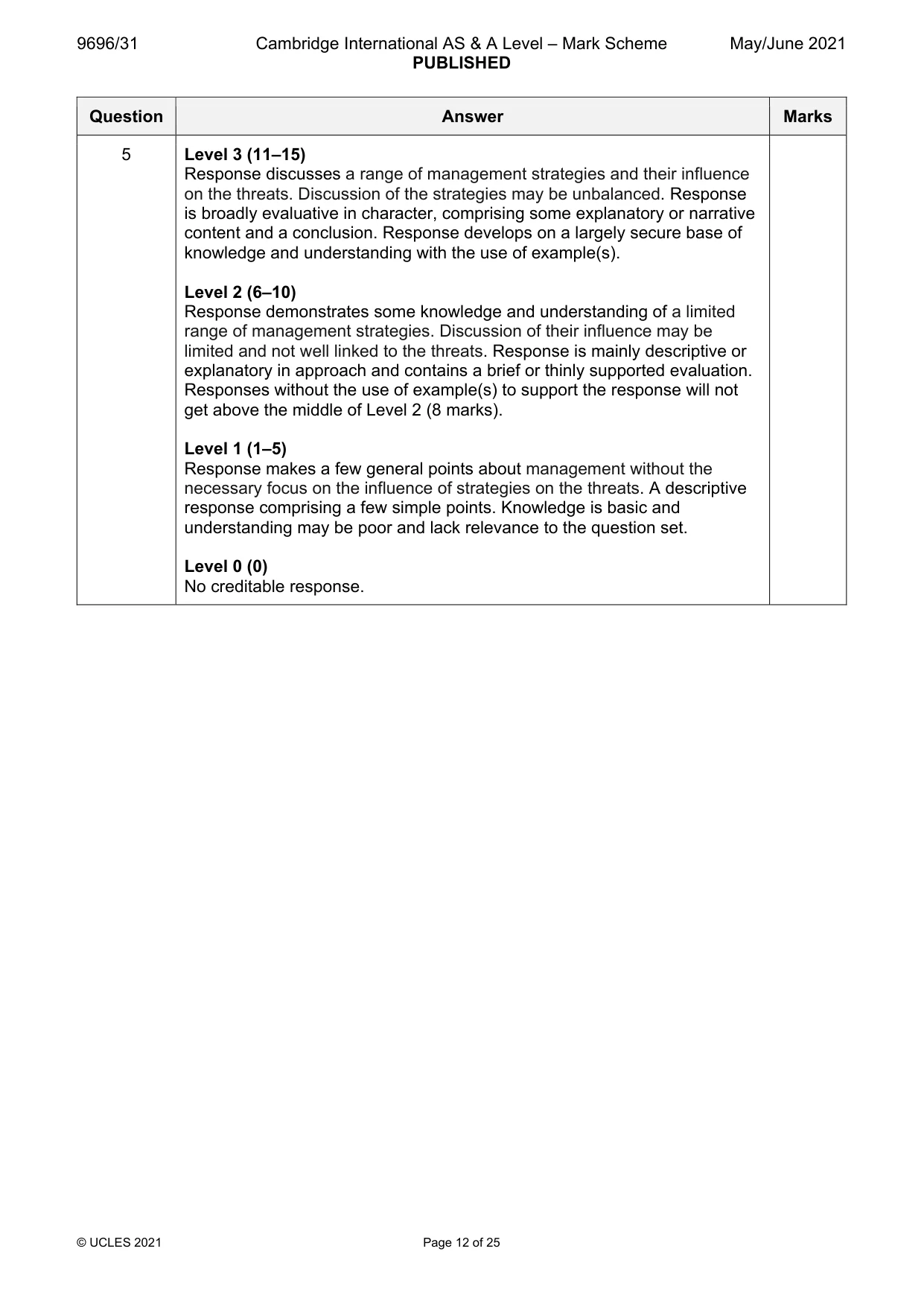
5 To what extent can the threats to coral reefs be successfully managed? [20]
Mark scheme: 5 To what extent can the threats to coral reefs be successfully 20 managed? Candidates are free to develop their own approach to the question and responses will vary depending on the example(s) chosen. Whichever approach is chosen, essays which address the question and support their argument with relevant examples will be credited. The direction of the response and evaluation made will depend on the approach chosen, and any evaluation is therefore valid if argued and based on evidence. There must be some attempt at evaluating the success of possible management strategies. Threats, in relation to optimal conditions for coral growth, include: • Warming sea temperatures • Acidification • Rising sea level • Pollution, including fertiliser runoff (Crown of Thorns Starfish) • Physical damage from storms, blasting • Fishing • Sedimentation • Tourism/coastal development Management includes: • Reducing carbon emissions to slow climate change • Limiting human activities that are threats, e.g. fishing • Designation as MPAs • Development of regulations • Effective monitoring and enforcement of regulations • Encouraging alternative livelihoods • Controlling tourism, etc. • Controlling pollution/sedimentation from land Candidates should attempt to make links between the management and the threats. Credit other valid threats and strategies. Award marks based on the quality of the response using the marking levels below. Level 4 (16–20) Response thoroughly discusses a range of management strategies and assesses their influence on the threats. Response demonstrates strong understanding of management. An effective and sustained evaluation with a sound conclusion. Response is well founded in detailed exemplar knowledge and strong conceptual understanding of the topic. Examples used are appropriate and integrated effectively into the response. 5 Level 3 (11–15) Response discusses a range of management strategies and their influence on the threats. Discussion of the strategies may be unbalanced. Response is broadly evaluative in character, comprising some explanatory or narrative content and a conclusion. Response develops on a largely secure base of knowledge and understanding with the use of example(s). Level 2 (6–10) Response demonstrates some knowledge and understanding of a limited range of management strategies. Discussion of their influence may be limited and not well linked to the threats. Response is mainly descriptive or explanatory in approach and contains a brief or thinly supported evaluation. Responses without the use of example(s) to support the response will not get above the middle of Level 2 (8 marks). Level 1 (1–5) Response makes a few general points about management without the necessary focus on the influence of strategies on the threats. A descriptive response comprising a few simple points. Knowledge is basic and understanding may be poor and lack relevance to the question set. Level 0 (0) No creditable response.
Q6 · Evaluate the role of sub-aerial processes in the formation of erosional landforms in…
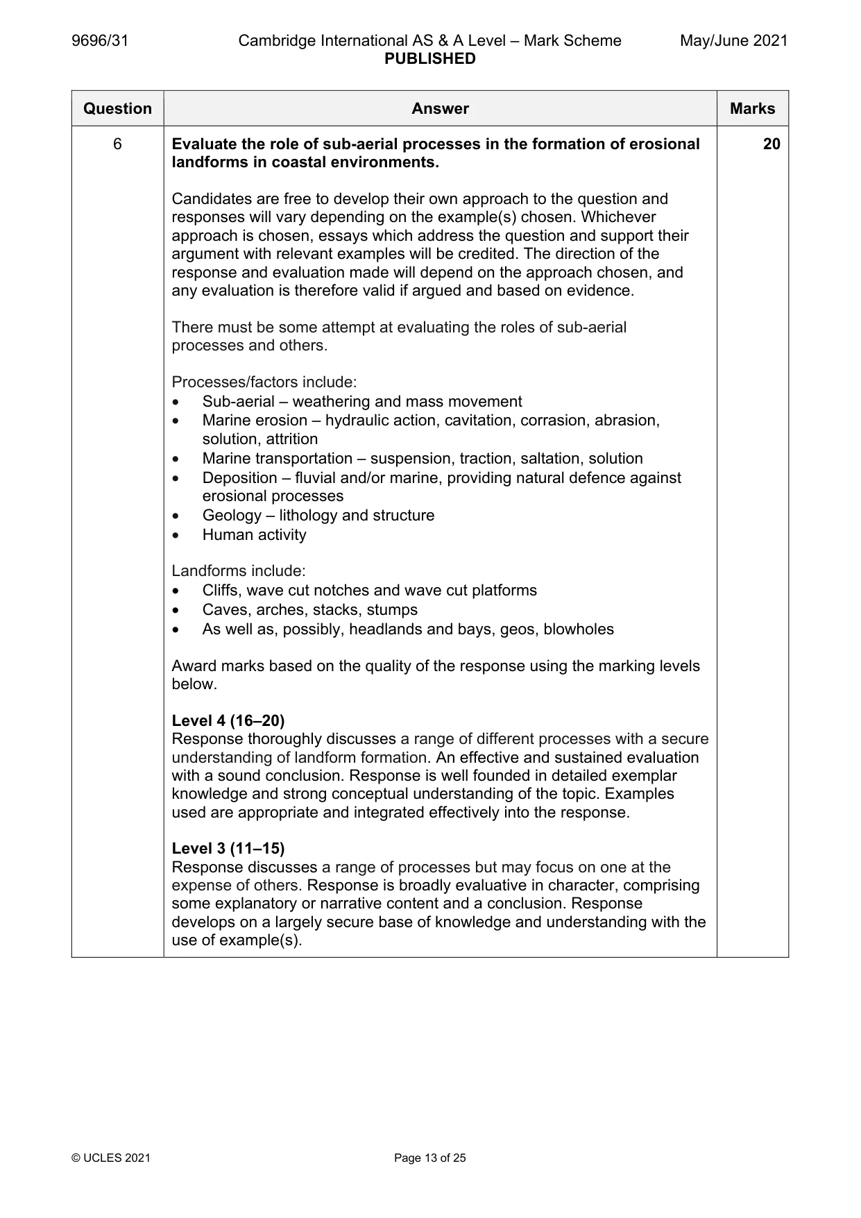
6 Evaluate the role of sub-aerial processes in the formation of erosional landforms in coastal environments. [20] Hazardous environments If answering this option, answer Question 7 and either Question 8 or Question 9.
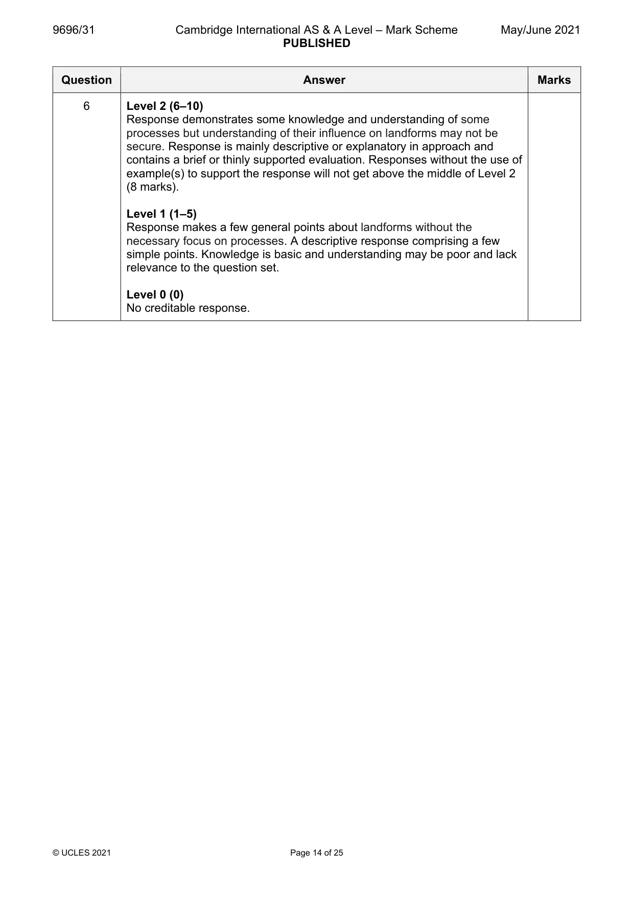
Mark scheme: 6 Evaluate the role of sub-aerial processes in the formation of erosional 20 landforms in coastal environments. Candidates are free to develop their own approach to the question and responses will vary depending on the example(s) chosen. Whichever approach is chosen, essays which address the question and support their argument with relevant examples will be credited. The direction of the response and evaluation made will depend on the approach chosen, and any evaluation is therefore valid if argued and based on evidence. There must be some attempt at evaluating the roles of sub-aerial processes and others. Processes/factors include: • Sub-aerial – weathering and mass movement • Marine erosion – hydraulic action, cavitation, corrasion, abrasion, solution, attrition • Marine transportation – suspension, traction, saltation, solution • Deposition – fluvial and/or marine, providing natural defence against erosional processes • Geology – lithology and structure • Human activity Landforms include: • Cliffs, wave cut notches and wave cut platforms • Caves, arches, stacks, stumps • As well as, possibly, headlands and bays, geos, blowholes Award marks based on the quality of the response using the marking levels below. Level 4 (16–20) Response thoroughly discusses a range of different processes with a secure understanding of landform formation. An effective and sustained evaluation with a sound conclusion. Response is well founded in detailed exemplar knowledge and strong conceptual understanding of the topic. Examples used are appropriate and integrated effectively into the response. Level 3 (11–15) Response discusses a range of processes but may focus on one at the expense of others. Response is broadly evaluative in character, comprising some explanatory or narrative content and a conclusion. Response develops on a largely secure base of knowledge and understanding with the use of example(s). 6 Level 2 (6–10) Response demonstrates some knowledge and understanding of some processes but understanding of their influence on landforms may not be secure. Response is mainly descriptive or explanatory in approach and contains a brief or thinly supported evaluation. Responses without the use of example(s) to support the response will not get above the middle of Level 2 (8 marks). Level 1 (1–5) Response makes a few general points about landforms without the necessary focus on processes. A descriptive response comprising a few simple points. Knowledge is basic and understanding may be poor and lack relevance to the question set. Level 0 (0) No creditable response. Hazardous environments If answering this option, answer Question 7 and either Question 8 or Question 9.
Q7 · The global distribution of volcanoes
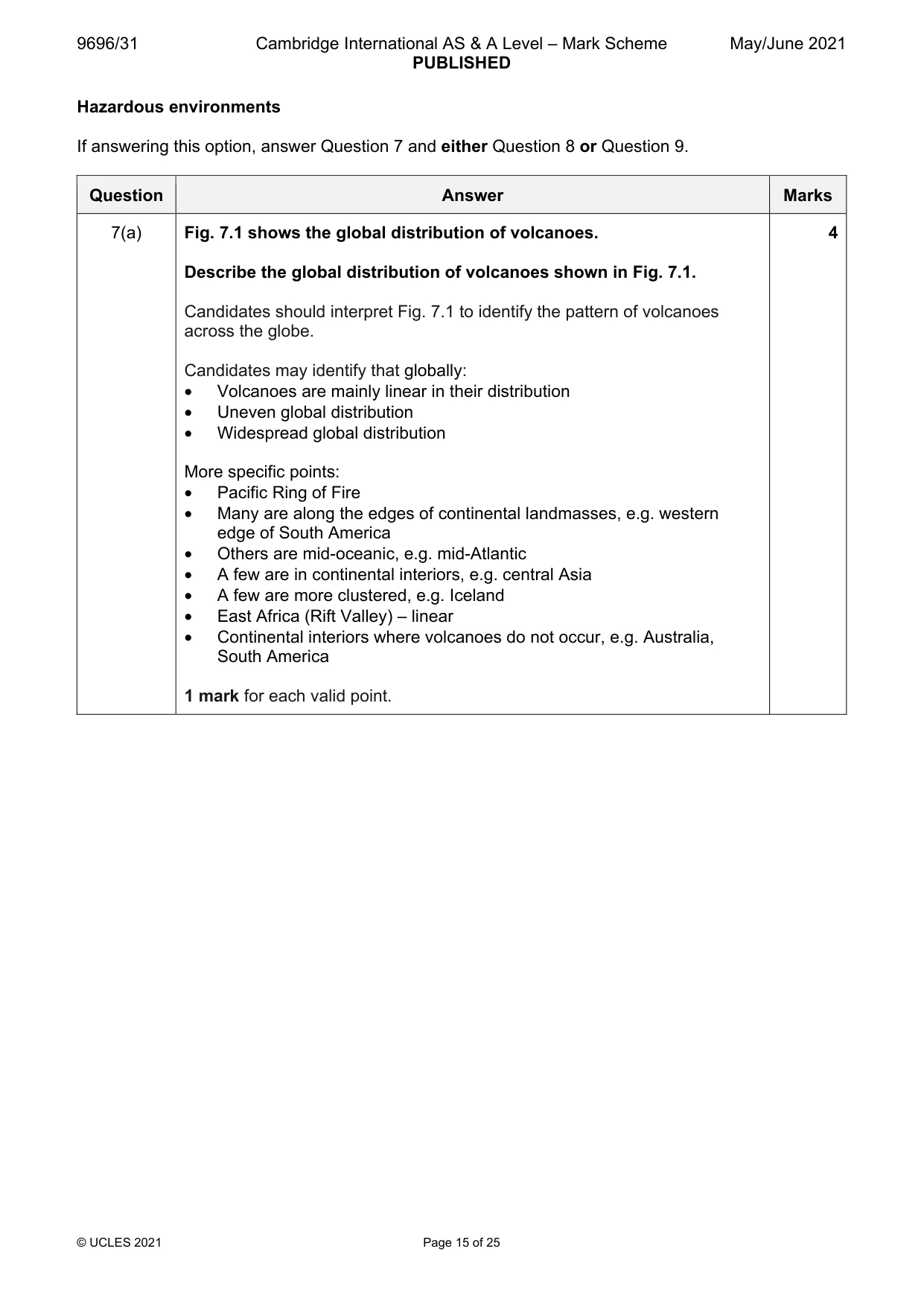
7 Fig. 7.1 shows the global distribution of volcanoes. (a) Describe the global distribution of volcanoes shown in Fig. 7.1. [4] (b) Explain why volcanoes are not found at all types of tectonic plate boundary. [6]
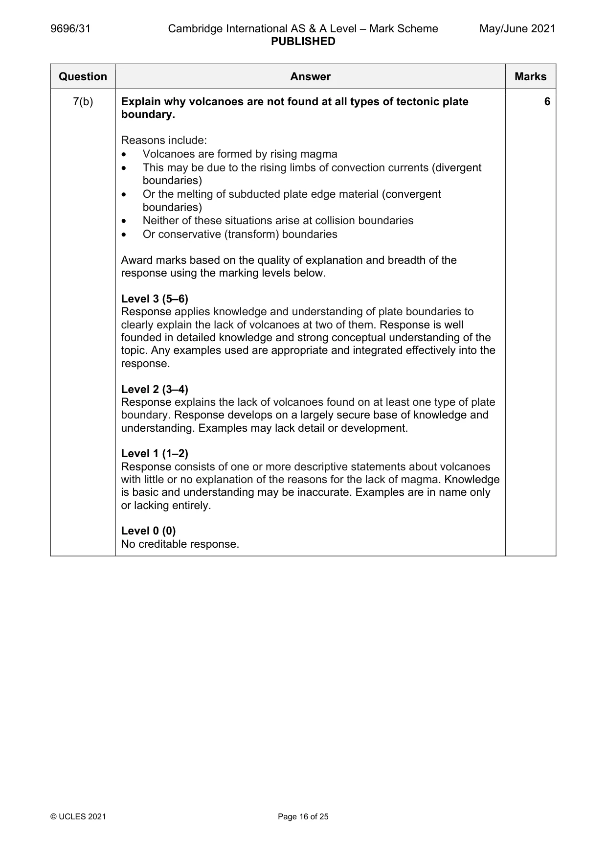
Mark scheme: 7(a) Fig. 7.1 shows the global distribution of volcanoes. 4 Describe the global distribution of volcanoes shown in Fig. 7.1. Candidates should interpret Fig. 7.1 to identify the pattern of volcanoes across the globe. Candidates may identify that globally: • Volcanoes are mainly linear in their distribution • Uneven global distribution • Widespread global distribution More specific points: • Pacific Ring of Fire • Many are along the edges of continental landmasses, e.g. western edge of South America • Others are mid-oceanic, e.g. mid-Atlantic • A few are in continental interiors, e.g. central Asia • A few are more clustered, e.g. Iceland • East Africa (Rift Valley) – linear • Continental interiors where volcanoes do not occur, e.g. Australia, South America 1 mark for each valid point. 7(b) Explain why volcanoes are not found at all types of tectonic plate 6 boundary. Reasons include: • Volcanoes are formed by rising magma • This may be due to the rising limbs of convection currents (divergent boundaries) • Or the melting of subducted plate edge material (convergent boundaries) • Neither of these situations arise at collision boundaries • Or conservative (transform) boundaries Award marks based on the quality of explanation and breadth of the response using the marking levels below. Level 3 (5–6) Response applies knowledge and understanding of plate boundaries to clearly explain the lack of volcanoes at two of them. Response is well founded in detailed knowledge and strong conceptual understanding of the topic. Any examples used are appropriate and integrated effectively into the response. Level 2 (3–4) Response explains the lack of volcanoes found on at least one type of plate boundary. Response develops on a largely secure base of knowledge and understanding. Examples may lack detail or development. Level 1 (1–2) Response consists of one or more descriptive statements about volcanoes with little or no explanation of the reasons for the lack of magma. Knowledge is basic and understanding may be inaccurate. Examples are in name only or lacking entirely. Level 0 (0) No creditable response.
Q8 · Assess the relative significance of the hazards resulting from small-scale atmospheric…
8 Assess the relative significance of the hazards resulting from small-scale atmospheric disturbances (tornadoes). [20]
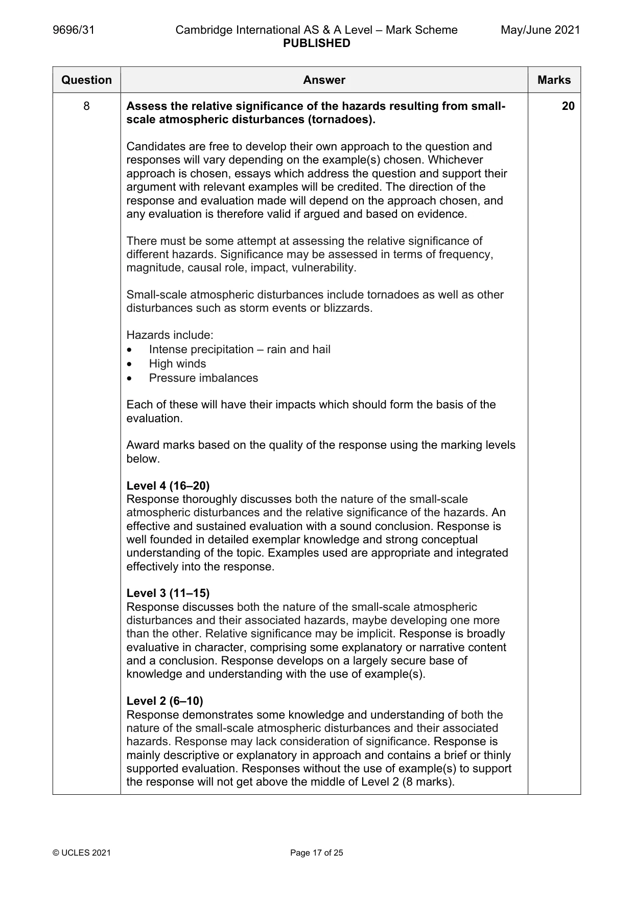
Mark scheme: 8 Assess the relative significance of the hazards resulting from small- 20 scale atmospheric disturbances (tornadoes). Candidates are free to develop their own approach to the question and responses will vary depending on the example(s) chosen. Whichever approach is chosen, essays which address the question and support their argument with relevant examples will be credited. The direction of the response and evaluation made will depend on the approach chosen, and any evaluation is therefore valid if argued and based on evidence. There must be some attempt at assessing the relative significance of different hazards. Significance may be assessed in terms of frequency, magnitude, causal role, impact, vulnerability. Small-scale atmospheric disturbances include tornadoes as well as other disturbances such as storm events or blizzards. Hazards include: • Intense precipitation – rain and hail • High winds • Pressure imbalances Each of these will have their impacts which should form the basis of the evaluation. Award marks based on the quality of the response using the marking levels below. Level 4 (16–20) Response thoroughly discusses both the nature of the small-scale atmospheric disturbances and the relative significance of the hazards. An effective and sustained evaluation with a sound conclusion. Response is well founded in detailed exemplar knowledge and strong conceptual understanding of the topic. Examples used are appropriate and integrated effectively into the response. Level 3 (11–15) Response discusses both the nature of the small-scale atmospheric disturbances and their associated hazards, maybe developing one more than the other. Relative significance may be implicit. Response is broadly evaluative in character, comprising some explanatory or narrative content and a conclusion. Response develops on a largely secure base of knowledge and understanding with the use of example(s). Level 2 (6–10) Response demonstrates some knowledge and understanding of both the nature of the small-scale atmospheric disturbances and their associated hazards. Response may lack consideration of significance. Response is mainly descriptive or explanatory in approach and contains a brief or thinly supported evaluation. Responses without the use of example(s) to support the response will not get above the middle of Level 2 (8 marks). 8 Level 1 (1–5) Response makes a few general points about small-scale atmospheric disturbances without the associated hazards. A descriptive response comprising a few simple points. Knowledge is basic and understanding may be poor and lack relevance to the question set. Level 0 (0) No creditable response.
Q9 · ‘Earthquake hazards cannot be prepared for successfully.’ How far do you agree?
9 ‘Earthquake hazards cannot be prepared for successfully.’ How far do you agree? [20] Hot arid and semi-arid environments If answering this option, answer Question 10 and either Question 11 or Question 12.
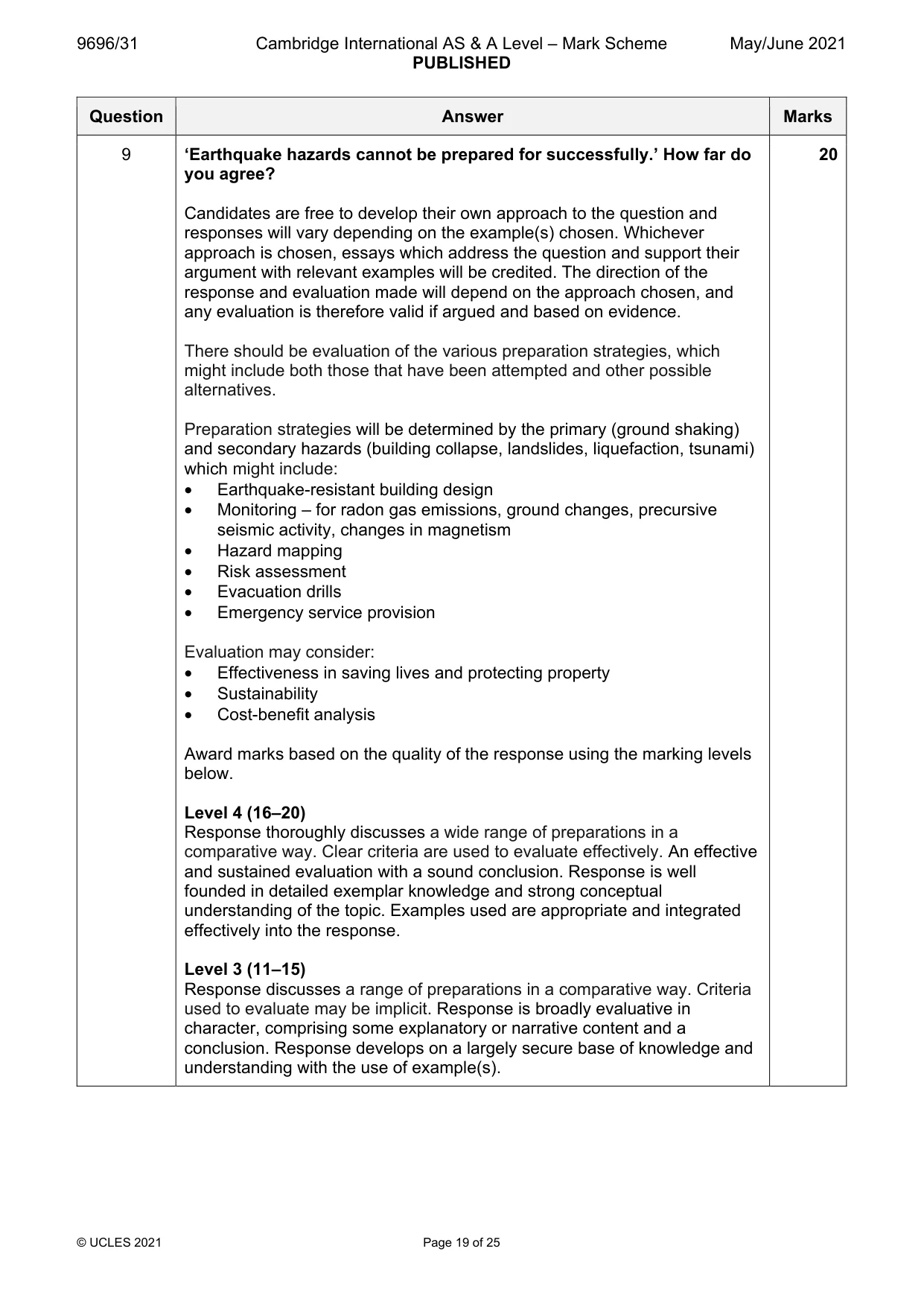
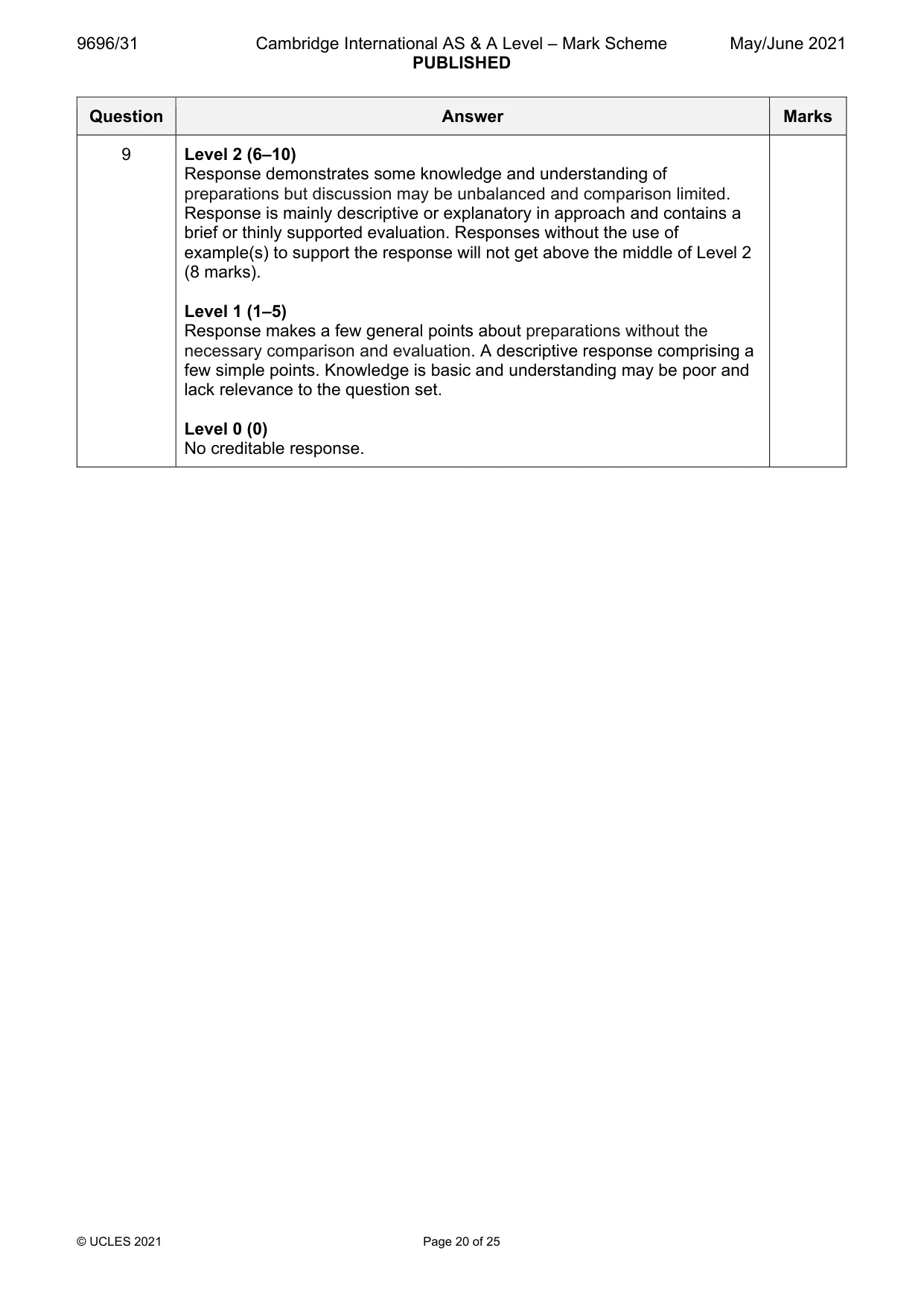
Mark scheme: 9 ‘Earthquake hazards cannot be prepared for successfully.’ How far do 20 you agree? Candidates are free to develop their own approach to the question and responses will vary depending on the example(s) chosen. Whichever approach is chosen, essays which address the question and support their argument with relevant examples will be credited. The direction of the response and evaluation made will depend on the approach chosen, and any evaluation is therefore valid if argued and based on evidence. There should be evaluation of the various preparation strategies, which might include both those that have been attempted and other possible alternatives. Preparation strategies will be determined by the primary (ground shaking) and secondary hazards (building collapse, landslides, liquefaction, tsunami) which might include: • Earthquake-resistant building design • Monitoring – for radon gas emissions, ground changes, precursive seismic activity, changes in magnetism • Hazard mapping • Risk assessment • Evacuation drills • Emergency service provision Evaluation may consider: • Effectiveness in saving lives and protecting property • Sustainability • Cost-benefit analysis Award marks based on the quality of the response using the marking levels below. Level 4 (16–20) Response thoroughly discusses a wide range of preparations in a comparative way. Clear criteria are used to evaluate effectively. An effective and sustained evaluation with a sound conclusion. Response is well founded in detailed exemplar knowledge and strong conceptual understanding of the topic. Examples used are appropriate and integrated effectively into the response. Level 3 (11–15) Response discusses a range of preparations in a comparative way. Criteria used to evaluate may be implicit. Response is broadly evaluative in character, comprising some explanatory or narrative content and a conclusion. Response develops on a largely secure base of knowledge and understanding with the use of example(s). 9 Level 2 (6–10) Response demonstrates some knowledge and understanding of preparations but discussion may be unbalanced and comparison limited. Response is mainly descriptive or explanatory in approach and contains a brief or thinly supported evaluation. Responses without the use of example(s) to support the response will not get above the middle of Level 2 (8 marks). Level 1 (1–5) Response makes a few general points about preparations without the necessary comparison and evaluation. A descriptive response comprising a few simple points. Knowledge is basic and understanding may be poor and lack relevance to the question set. Level 0 (0) No creditable response. Hot arid and semi-arid environments If answering this option, answer Question 10 and either Question 11 or Question 12.
Q10 · A photograph which shows an arid landscape in Kazakhstan
10 Fig. 10.1 is a photograph which shows an arid landscape in Kazakhstan. (a) With the aid of a labelled diagram, describe the main physical features of the landscape shown in Fig. 10.1. [4] (b) Suggest how water processes have influenced the formation of the landscape shown in Fig. 10.1. [6]
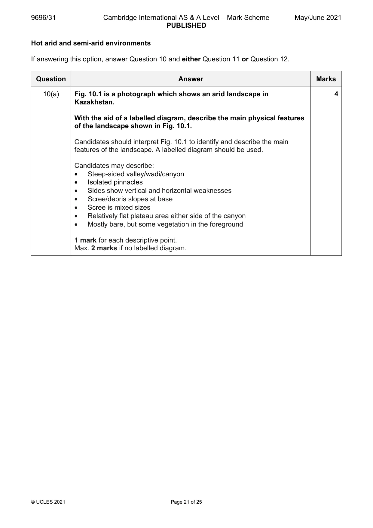
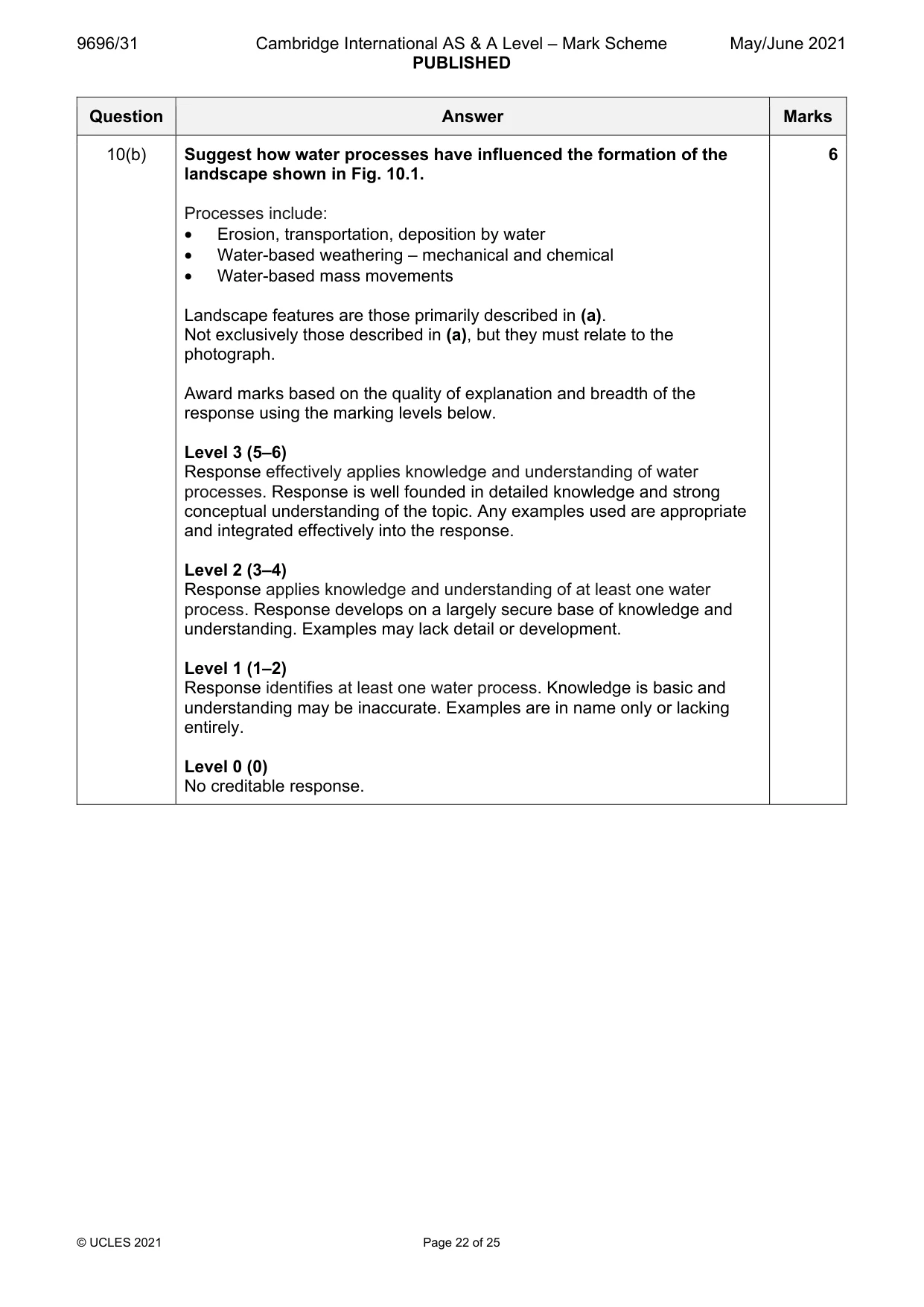
Mark scheme: 10(a) Fig. 10.1 is a photograph which shows an arid landscape in 4 Kazakhstan. With the aid of a labelled diagram, describe the main physical features of the landscape shown in Fig. 10.1. Candidates should interpret Fig. 10.1 to identify and describe the main features of the landscape. A labelled diagram should be used. Candidates may describe: • Steep-sided valley/wadi/canyon • Isolated pinnacles • Sides show vertical and horizontal weaknesses • Scree/debris slopes at base • Scree is mixed sizes • Relatively flat plateau area either side of the canyon • Mostly bare, but some vegetation in the foreground 1 mark for each descriptive point. Max. 2 marks if no labelled diagram. 10(b) Suggest how water processes have influenced the formation of the 6 landscape shown in Fig. 10.1. Processes include: • Erosion, transportation, deposition by water • Water-based weathering – mechanical and chemical • Water-based mass movements Landscape features are those primarily described in (a). Not exclusively those described in (a), but they must relate to the photograph. Award marks based on the quality of explanation and breadth of the response using the marking levels below. Level 3 (5–6) Response effectively applies knowledge and understanding of water processes. Response is well founded in detailed knowledge and strong conceptual understanding of the topic. Any examples used are appropriate and integrated effectively into the response. Level 2 (3–4) Response applies knowledge and understanding of at least one water process. Response develops on a largely secure base of knowledge and understanding. Examples may lack detail or development. Level 1 (1–2) Response identifies at least one water process. Knowledge is basic and understanding may be inaccurate. Examples are in name only or lacking entirely. Level 0 (0) No creditable response.
Q11 · Assess the relative importance of the factors influencing desertification in semi-arid…
11 Assess the relative importance of the factors influencing desertification in semi-arid environments. [20]
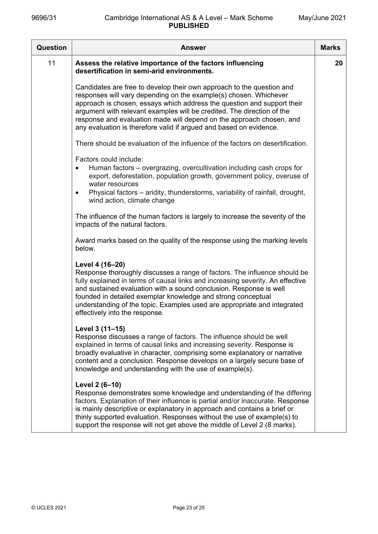
Mark scheme: 11 Assess the relative importance of the factors influencing 20 desertification in semi-arid environments. Candidates are free to develop their own approach to the question and responses will vary depending on the example(s) chosen. Whichever approach is chosen, essays which address the question and support their argument with relevant examples will be credited. The direction of the response and evaluation made will depend on the approach chosen, and any evaluation is therefore valid if argued and based on evidence. There should be evaluation of the influence of the factors on desertification. Factors could include: • Human factors – overgrazing, overcultivation including cash crops for export, deforestation, population growth, government policy, overuse of water resources • Physical factors – aridity, thunderstorms, variability of rainfall, drought, wind action, climate change The influence of the human factors is largely to increase the severity of the impacts of the natural factors. Award marks based on the quality of the response using the marking levels below. Level 4 (16–20) Response thoroughly discusses a range of factors. The influence should be fully explained in terms of causal links and increasing severity. An effective and sustained evaluation with a sound conclusion. Response is well founded in detailed exemplar knowledge and strong conceptual understanding of the topic. Examples used are appropriate and integrated effectively into the response. Level 3 (11–15) Response discusses a range of factors. The influence should be well explained in terms of causal links and increasing severity. Response is broadly evaluative in character, comprising some explanatory or narrative content and a conclusion. Response develops on a largely secure base of knowledge and understanding with the use of example(s). Level 2 (6–10) Response demonstrates some knowledge and understanding of the differing factors. Explanation of their influence is partial and/or inaccurate. Response is mainly descriptive or explanatory in approach and contains a brief or thinly supported evaluation. Responses without the use of example(s) to support the response will not get above the middle of Level 2 (8 marks). 11 Level 1 (1–5) Response makes a few general points about factors without the necessary focus on their influence. A descriptive response comprising a few simple points. Knowledge is basic and understanding may be poor and lack relevance to the question set. Level 0 (0) No creditable response.
Q12 · ‘Pressure systems are the most important cause of aridity.’ To what extent do you agree…
12 ‘Pressure systems are the most important cause of aridity.’ To what extent do you agree with this statement? [20]
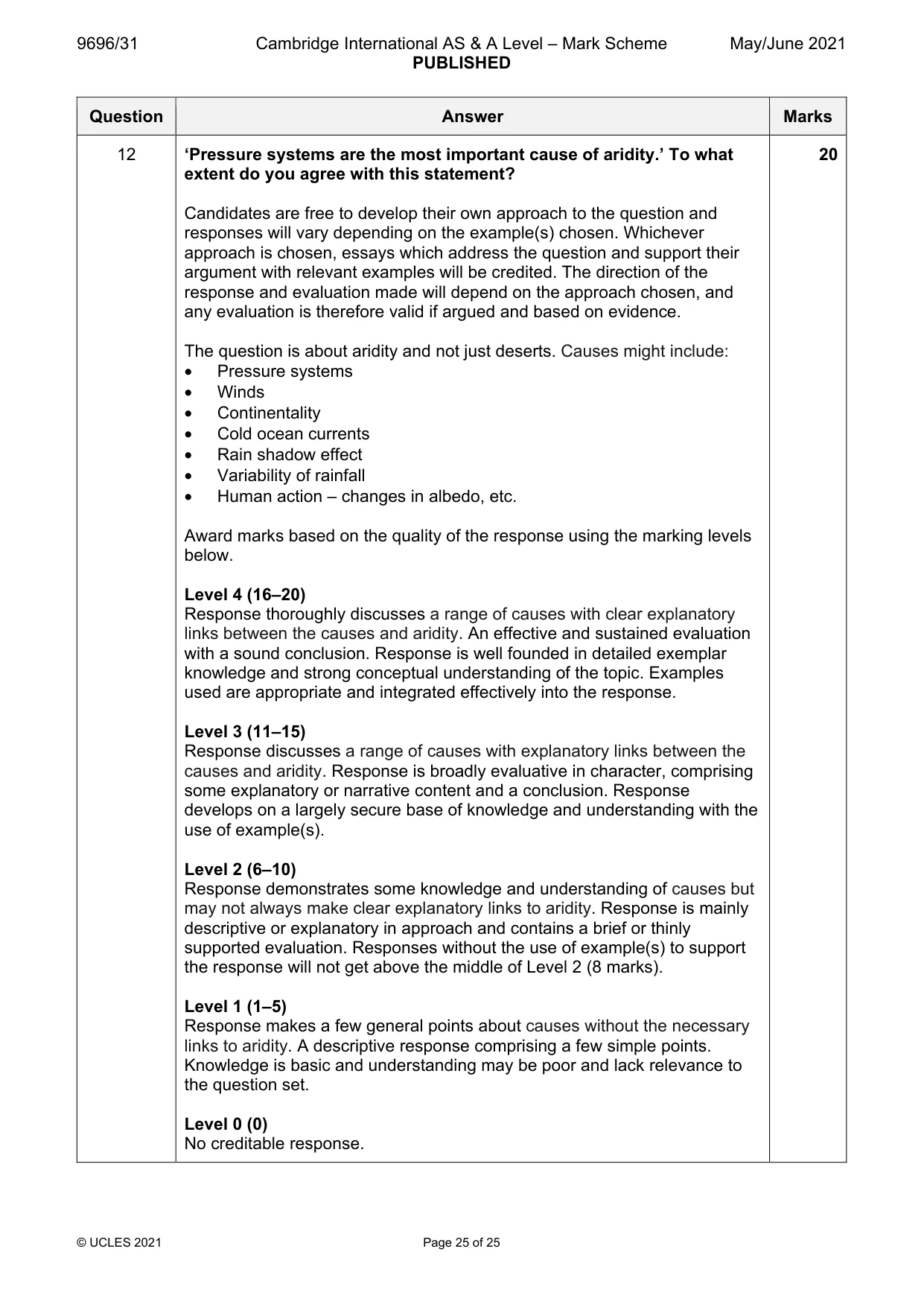
Mark scheme: 12 ‘Pressure systems are the most important cause of aridity.’ To what 20 extent do you agree with this statement? Candidates are free to develop their own approach to the question and responses will vary depending on the example(s) chosen. Whichever approach is chosen, essays which address the question and support their argument with relevant examples will be credited. The direction of the response and evaluation made will depend on the approach chosen, and any evaluation is therefore valid if argued and based on evidence. The question is about aridity and not just deserts. Causes might include: • Pressure systems • Winds • Continentality • Cold ocean currents • Rain shadow effect • Variability of rainfall • Human action – changes in albedo, etc. Award marks based on the quality of the response using the marking levels below. Level 4 (16–20) Response thoroughly discusses a range of causes with clear explanatory links between the causes and aridity. An effective and sustained evaluation with a sound conclusion. Response is well founded in detailed exemplar knowledge and strong conceptual understanding of the topic. Examples used are appropriate and integrated effectively into the response. Level 3 (11–15) Response discusses a range of causes with explanatory links between the causes and aridity. Response is broadly evaluative in character, comprising some explanatory or narrative content and a conclusion. Response develops on a largely secure base of knowledge and understanding with the use of example(s). Level 2 (6–10) Response demonstrates some knowledge and understanding of causes but may not always make clear explanatory links to aridity. Response is mainly descriptive or explanatory in approach and contains a brief or thinly supported evaluation. Responses without the use of example(s) to support the response will not get above the middle of Level 2 (8 marks). Level 1 (1–5) Response makes a few general points about causes without the necessary links to aridity. A descriptive response comprising a few simple points. Knowledge is basic and understanding may be poor and lack relevance to the question set. Level 0 (0) No creditable response.
What was in this paper
The subtopics covered by these 12 questions, and how many questions each got. Open one in a new tab to see every Cambridge question on it.
2Humid tropical (rainforest) ecosystems and seasonally humid tropical (savanna) ecosystems2Coral reefs1Hazards resulting from atmospheric disturbances1Hot arid and semi-arid climates1Landforms of hot arid and semi-arid environments1Landforms of tropical environments1Plate tectonics1Sustainable management in hazardous environments1Sustainable management of hot arid and semi-arid environments1What you needed in this session
Cambridge’s own grade thresholds for 2021 May/June, Paper 3 · Variant 1. A higher threshold means an easier paper — the bar moves with how the cohort did.