Cambridge A Level Geography 9696 — 2021 May/June Paper 3 · Variant 2
9696/32/M/J/21 · 12 questions · 60 marks · ≈68 min
The question paper and its mark scheme, free to read here and free to download. This is Cambridge’s own paper, exactly as it was sat.
Question paper4 pages

Mark scheme26 pages
Answers below. Sit the paper first if you are practising.











Questions as text
Q1 · The diurnal temperature pattern in a humid tropical environment in the Ecuadorian…
1 Fig. 1.1 shows the diurnal temperature pattern in a humid tropical environment in the Ecuadorian rainforest, April 2018. (a) Using evidence from Fig. 1.1, describe the diurnal temperature pattern shown. [4] (b) Suggest how the pattern shown in Fig. 1.1 might influence diurnal precipitation variations. [6]
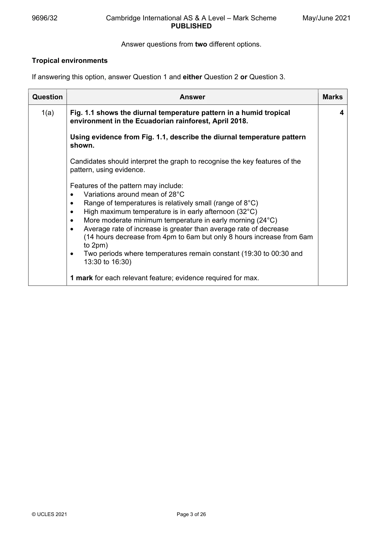
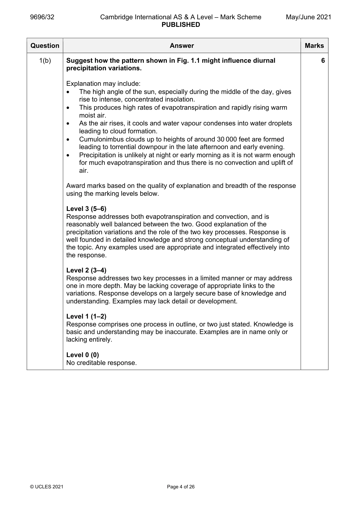
Mark scheme: Question Answer Marks 1(a) Fig. 1.1 shows the diurnal temperature pattern in a humid tropical 4 environment in the Ecuadorian rainforest, April 2018. Using evidence from Fig. 1.1, describe the diurnal temperature pattern shown. Candidates should interpret the graph to recognise the key features of the pattern, using evidence. Features of the pattern may include: • Variations around mean of 28°C • Range of temperatures is relatively small (range of 8°C) • High maximum temperature is in early afternoon (32°C) • More moderate minimum temperature in early morning (24°C) • Average rate of increase is greater than average rate of decrease (14 hours decrease from 4pm to 6am but only 8 hours increase from 6am to 2pm) • Two periods where temperatures remain constant (19:30 to 00:30 and 13:30 to 16:30) 1 mark for each relevant feature; evidence required for max. 1(b) Suggest how the pattern shown in Fig. 1.1 might influence diurnal 6 precipitation variations. Explanation may include: • The high angle of the sun, especially during the middle of the day, gives rise to intense, concentrated insolation. • This produces high rates of evapotranspiration and rapidly rising warm moist air. • As the air rises, it cools and water vapour condenses into water droplets leading to cloud formation. • Cumulonimbus clouds up to heights of around 30 000 feet are formed leading to torrential downpour in the late afternoon and early evening. • Precipitation is unlikely at night or early morning as it is not warm enough for much evapotranspiration and thus there is no convection and uplift of air. Award marks based on the quality of explanation and breadth of the response using the marking levels below. Level 3 (5–6) Response addresses both evapotranspiration and convection, and is reasonably well balanced between the two. Good explanation of the precipitation variations and the role of the two key processes. Response is well founded in detailed knowledge and strong conceptual understanding of the topic. Any examples used are appropriate and integrated effectively into the response. Level 2 (3–4) Response addresses two key processes in a limited manner or may address one in more depth. May be lacking coverage of appropriate links to the variations. Response develops on a largely secure base of knowledge and understanding. Examples may lack detail or development. Level 1 (1–2) Response comprises one process in outline, or two just stated. Knowledge is basic and understanding may be inaccurate. Examples are in name only or lacking entirely. Level 0 (0) No creditable response.
Q2 · Assess the relative importance of human activity in the development of plant communities…
2 Assess the relative importance of human activity in the development of plant communities in seasonally humid tropical (savanna) ecosystems. [20]
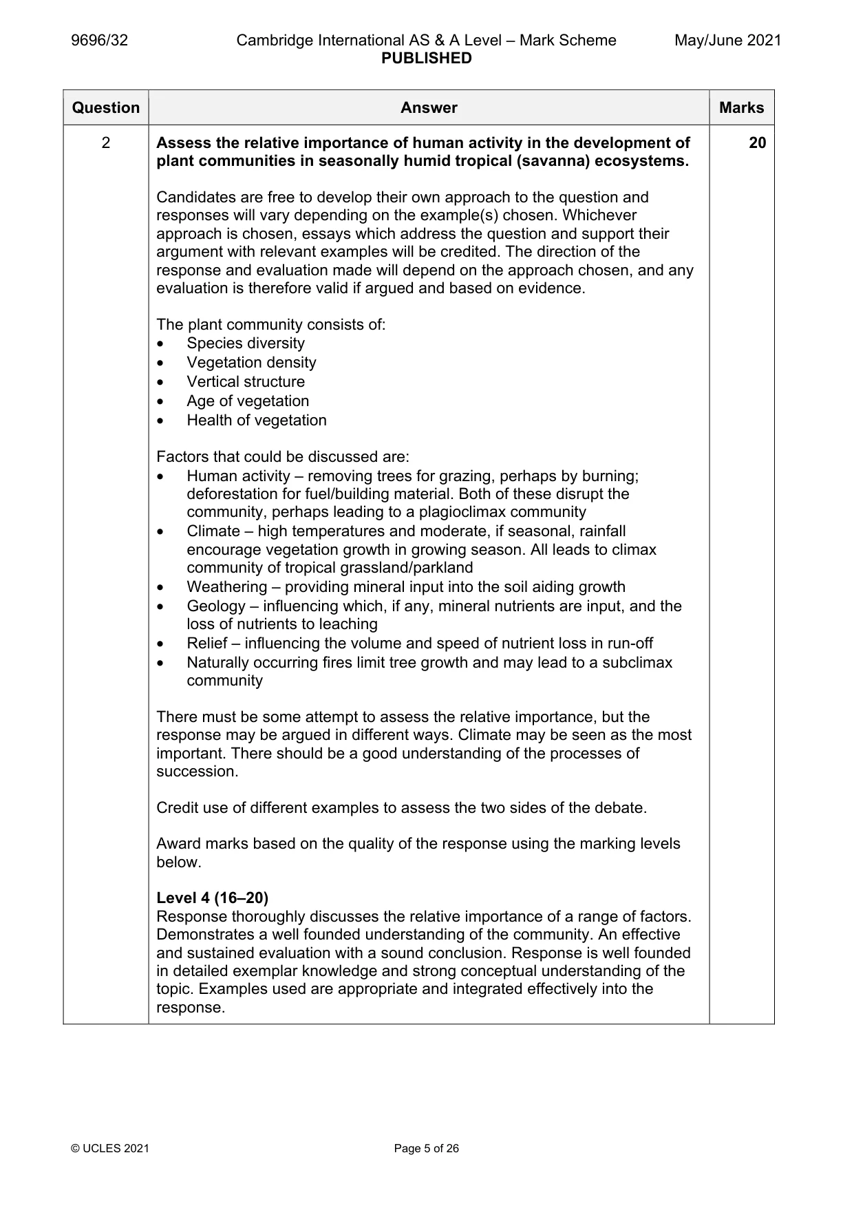
Mark scheme: 2 Assess the relative importance of human activity in the development of 20 plant communities in seasonally humid tropical (savanna) ecosystems. Candidates are free to develop their own approach to the question and responses will vary depending on the example(s) chosen. Whichever approach is chosen, essays which address the question and support their argument with relevant examples will be credited. The direction of the response and evaluation made will depend on the approach chosen, and any evaluation is therefore valid if argued and based on evidence. The plant community consists of: • Species diversity • Vegetation density • Vertical structure • Age of vegetation • Health of vegetation Factors that could be discussed are: • Human activity – removing trees for grazing, perhaps by burning; deforestation for fuel/building material. Both of these disrupt the community, perhaps leading to a plagioclimax community • Climate – high temperatures and moderate, if seasonal, rainfall encourage vegetation growth in growing season. All leads to climax community of tropical grassland/parkland • Weathering – providing mineral input into the soil aiding growth • Geology – influencing which, if any, mineral nutrients are input, and the loss of nutrients to leaching • Relief – influencing the volume and speed of nutrient loss in run-off • Naturally occurring fires limit tree growth and may lead to a subclimax community There must be some attempt to assess the relative importance, but the response may be argued in different ways. Climate may be seen as the most important. There should be a good understanding of the processes of succession. Credit use of different examples to assess the two sides of the debate. Award marks based on the quality of the response using the marking levels below. Level 4 (16–20) Response thoroughly discusses the relative importance of a range of factors. Demonstrates a well founded understanding of the community. An effective and sustained evaluation with a sound conclusion. Response is well founded in detailed exemplar knowledge and strong conceptual understanding of the topic. Examples used are appropriate and integrated effectively into the response. 2 Level 3 (11–15) Response discusses a reasonable range of factors in a fairly balanced way with well integrated details of vegetation to support the discussion. Response is broadly evaluative in character, comprising some explanatory or narrative content and a conclusion. Response develops on a largely secure base of knowledge and understanding with the use of example(s). Level 2 (6–10) Response demonstrates some knowledge and understanding of a narrow range of factors, but not necessarily in a balanced way. Response is mainly descriptive or explanatory in approach and contains a brief or thinly supported evaluation. Responses without the use of example(s) to support the response will not get above the middle of Level 2 (8 marks). Level 1 (1–5) Response makes a few general points about factors without the necessary focus on their influence. A descriptive response comprising a few simple points. Knowledge is basic and understanding may be poor and lack relevance to the question set. Level 0 (0) No creditable response.
Q3 · Using a case study, evaluate the attempted solutions to the threats facing either the…
3 Using a case study, evaluate the attempted solutions to the threats facing either the rainforest ecosystem or the savanna ecosystem. [20] Coastal environments If answering this option, answer Question 4 and either Question 5 or Question 6.
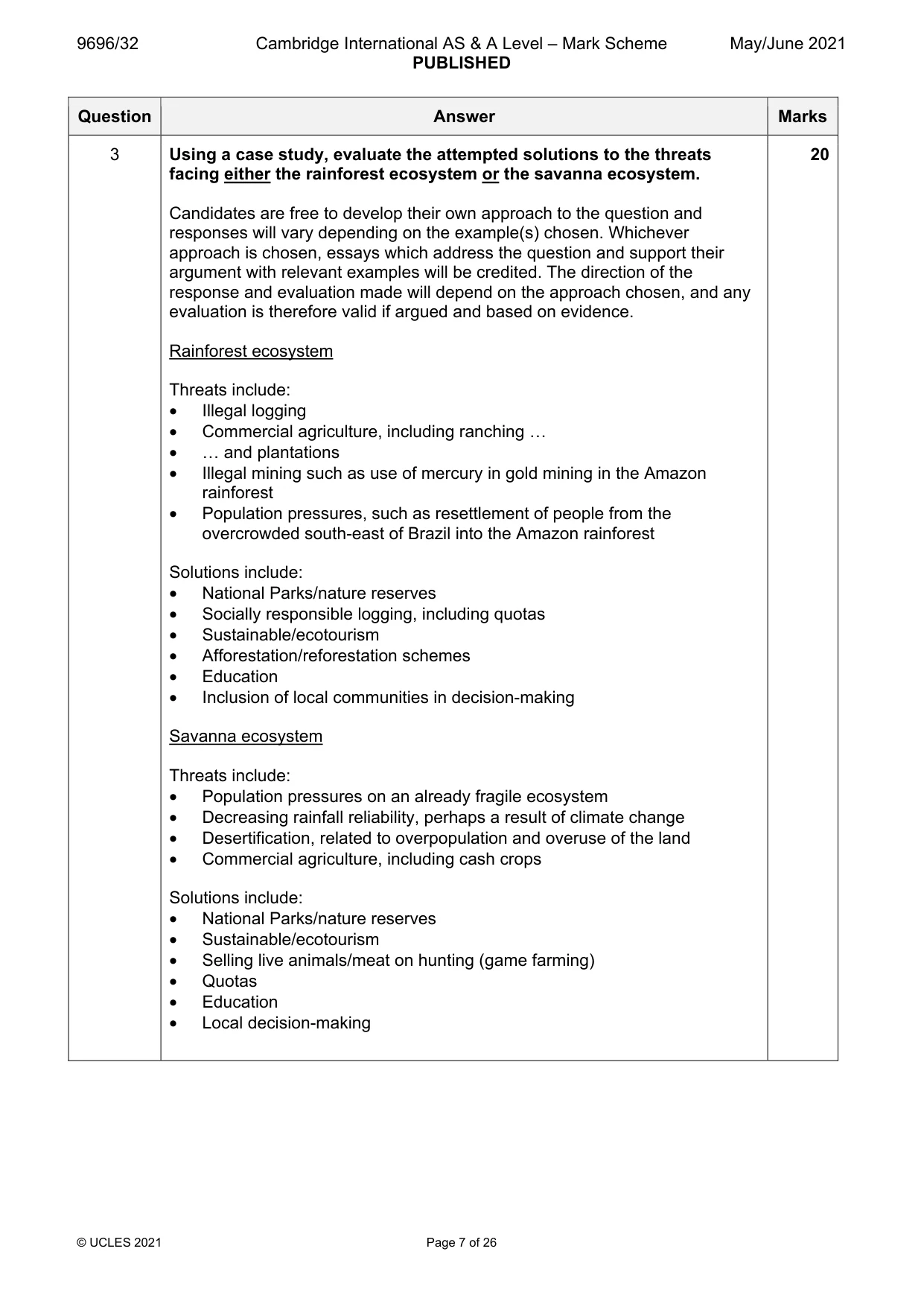
Mark scheme: 3 Using a case study, evaluate the attempted solutions to the threats 20 facing either the rainforest ecosystem or the savanna ecosystem. Candidates are free to develop their own approach to the question and responses will vary depending on the example(s) chosen. Whichever approach is chosen, essays which address the question and support their argument with relevant examples will be credited. The direction of the response and evaluation made will depend on the approach chosen, and any evaluation is therefore valid if argued and based on evidence. Rainforest ecosystem Threats include: • Illegal logging • Commercial agriculture, including ranching … • … and plantations • Illegal mining such as use of mercury in gold mining in the Amazon rainforest • Population pressures, such as resettlement of people from the overcrowded south-east of Brazil into the Amazon rainforest Solutions include: • National Parks/nature reserves • Socially responsible logging, including quotas • Sustainable/ecotourism • Afforestation/reforestation schemes • Education • Inclusion of local communities in decision-making Savanna ecosystem Threats include: • Population pressures on an already fragile ecosystem • Decreasing rainfall reliability, perhaps a result of climate change • Desertification, related to overpopulation and overuse of the land • Commercial agriculture, including cash crops Solutions include: • National Parks/nature reserves • Sustainable/ecotourism • Selling live animals/meat on hunting (game farming) • Quotas • Education • Local decision-making 3 Award marks based on the quality of the response using the marking levels below. Level 4 (16–20) Response thoroughly discusses a wide range of solutions and explicitly links them to the threats. An effective and sustained evaluation with a sound conclusion. Response is well founded in detailed exemplar knowledge and strong conceptual understanding of the topic. Examples used are appropriate and integrated effectively into the response. Level 3 (11–15) Response discusses a range of solutions and makes links to the threats, albeit implicitly. Response is broadly evaluative in character, comprising some explanatory or narrative content and a conclusion. Response develops on a largely secure base of knowledge and understanding with the use of example(s). Level 2 (6–10) Response demonstrates some knowledge and understanding of solutions but there is limited linkage to the threats. Response is mainly descriptive or explanatory in approach and contains a brief or thinly supported evaluation. Responses without the use of example(s) to support the response will not get above the middle of Level 2 (8 marks). Level 1 (1–5) Response makes a few general points about solutions without the necessary focus on their impact on the threats. A descriptive response comprising a few simple points. Knowledge is basic and understanding may be poor and lack relevance to the question set. Level 0 (0) No creditable response. Coastal environments If answering this option, answer Question 4 and either Question 5 or Question 6.
Q4 · A photograph which shows a coastal landscape in the Algarve, Portugal
4 Fig. 4.1 is a photograph which shows a coastal landscape in the Algarve, Portugal. (a) With the aid of a labelled diagram, describe the main physical features of the landscape shown in Fig. 4.1. [4] (b) Suggest how geology has influenced the landscape shown in Fig. 4.1. [6]
Mark scheme: 4(a) Fig. 4.1 is a photograph which shows a coastal landscape in the 4 Algarve, Portugal. With the aid of a labelled diagram, describe the main physical features of the landscape shown in Fig. 4.1. Candidates may describe: • Irregular/indented/rocky/discordant coastal planform • Steep/layered cliffs • Rocky headlands • Patchy vegetation related to specific features • Small bays • Steep-sided stacks/low stumps • Small caves • Steep scar/protruding lobe • Steep/narrow gullies • Sandy beach • Rocky debris at base of cliff • Horizontal rock strata 1 mark for each descriptive point. Max. 3 marks if no diagram. 4(b) Suggest how geology has influenced the landscape shown in Fig. 4.1. 6 Geology includes rock type and structure. Expect references to weakness/ resistance of rock to erosion in different locations within the landscape. Susceptibility to sub-aerial processes also relevant. Award marks based on the quality of explanation and breadth of the response using the marking levels below. Level 3 (5–6) Response applies knowledge and understanding of geology and convincingly explains its influence on processes and the landscape. Response is well founded in detailed knowledge and strong conceptual understanding of the topic. Any examples used are appropriate and integrated effectively into the response. Level 2 (3–4) Response explains the influence of geology on processes and the landscape, but explanation may be unbalanced or limited. Response develops on a largely secure base of knowledge and understanding. Examples may lack detail or development. Level 1 (1–2) Response is broadly about geology but explanations are insecure. Knowledge is basic and understanding may be inaccurate. Examples are in name only or lacking entirely. Level 0 (0) No creditable response.
Q5 · ‘The characteristics and formation of different types of coral reef are very similar.’…
5 ‘The characteristics and formation of different types of coral reef are very similar.’ How far do you agree? [20]
Mark scheme: 5 ‘The characteristics and formation of different types of coral reef are 20 very similar.’ How far do you agree? Candidates are free to develop their own approach to the question and responses will vary depending on the example(s) chosen. Whichever approach is chosen, essays which address the question and support their argument with relevant examples will be credited. The direction of the response and evaluation made will depend on the approach chosen, and any evaluation is therefore valid if argued and based on evidence. There must be some attempt at evaluating the view. Types include: • Fringing • Barrier • Atoll Characteristics include: • Physical structure which can be similar • Distance from shore is a main discriminator, fringing is close to the coastline, a barrier reef is further from the shore, and atolls are related to the size and shape of the original now disappeared island • Age – some of the models suggest that there is a sequence from fringing to barrier over time • Relationship to islands, which applies mostly to atolls • Species diversity is similar Formation involves: • Suitable conditions – temperature/water depth/salinity/wave action • Land subsidence • Sea level rise • Theories of Darwin, Murray and Daly are relevant Award marks based on the quality of the response using the marking levels below. Level 4 (16–20) Response thoroughly discusses both characteristics and formation of different types. Response demonstrates strong understanding of coral reefs. An effective and sustained evaluation with a sound conclusion. Response is well founded in detailed exemplar knowledge and strong conceptual understanding of the topic. Examples used are appropriate and integrated effectively into the response. Level 3 (11–15) Response discusses both characteristics and formation, but not necessarily in a balanced way. Response is broadly evaluative in character, comprising some explanatory or narrative content and a conclusion. Response develops on a largely secure base of knowledge and understanding with the use of example(s). 5 Level 2 (6–10) Response demonstrates some knowledge and understanding of both characteristics and formation, but with limited linkages to the different types. Response is mainly descriptive or explanatory in approach and contains a brief or thinly supported evaluation. Responses without the use of example(s) to support the response will not get above the middle of Level 2 (8 marks). Level 1 (1–5) Response makes a few general points about coral reefs without the necessary focus on the characteristics and formation. A descriptive response comprising a few simple points. Knowledge is basic and understanding may be poor and lack relevance to the question set. Level 0 (0) No creditable response.
Q6 · Hazardous environments If answering this option, answer Question 7 and either Question 8…
Hazardous environments If answering this option, answer Question 7 and either Question 8 or Question 9.
Mark scheme: 6 Assess the significance of longshore drift in the formation of 20 depositional landforms. Candidates are free to develop their own approach to the question and responses will vary depending on the example(s) chosen. Whichever approach is chosen, essays which address the question and support their argument with relevant examples will be credited. The direction of the response and evaluation made will depend on the approach chosen, and any evaluation is therefore valid if argued and based on evidence. There must be some attempt at evaluating the significance of longshore drift and other processes. Significance may be assessed in terms of variety/type of landforms influenced, scale of landforms, extent of dominance of longshore drift over other processes. Processes include: • Longshore drift is the result of waves approaching a beach at an angle in relation to the dominant wind approach, resulting in material being moved up the beach in accord with this angle and then retreating perpendicular to the beach leading to lateral movement of material • Wave refraction often leads to waves approaching perpendicular to the beach, creating swash aligned beaches where longshore drift does not occur • Marine transportation – suspension, traction, saltation Landforms include: • Beaches • Spits/bars • Tombolos • Dunes • Saltmarshes/mangroves Award marks based on the quality of the response using the marking levels below. Level 4 (16–20) Response thoroughly discusses a range of different processes with a secure understanding of landform formation. An effective and sustained evaluation with a sound conclusion. Response is well founded in detailed exemplar knowledge and strong conceptual understanding of the topic. Examples used are appropriate and integrated effectively into the response. Level 3 (11–15) Response discusses a range of processes but may focus on one at the expense of others. Response is broadly evaluative in character, comprising some explanatory or narrative content and a conclusion. Response develops on a largely secure base of knowledge and understanding with the use of example(s). 6 Level 2 (6–10) Response demonstrates some knowledge and understanding of some processes but understanding of their influence on landforms may not be secure or may focus on longshore drift exclusively. Response is mainly descriptive or explanatory in approach and contains a brief or thinly supported evaluation. Responses without the use of example(s) to support the response will not get above the middle of Level 2 (8 marks). Level 1 (1–5) Response makes a few general points about landforms without the necessary focus on processes. A descriptive response comprising a few simple points. Knowledge is basic and understanding may be poor and lack relevance to the question set. Level 0 (0) No creditable response. Hazardous environments If answering this option, answer Question 7 and either Question 8 or Question 9.
Q7 · The global distribution of earthquakes
7 Fig. 7.1 shows the global distribution of earthquakes. (a) Describe the global distribution of earthquakes shown in Fig. 7.1. [4] (b) Explain why the depth of focus of earthquakes varies from place to place. [6]
Mark scheme: 7(a) Fig. 7.1 shows the global distribution of earthquakes. 4 Describe the global distribution of earthquakes shown in Fig. 7.1. Candidates should interpret Fig. 7.1 to identify the distribution of earthquakes across the globe. Candidates may identify that: • Earthquakes are mainly linear in their distribution/belts/chains/long and narrow • Widely distributed across the globe • There are clusters/concentrations • Many are along the edges of continental landmasses, e.g. Pacific Ring of Fire • Others are mid-oceanic, e.g. mid-Atlantic • A few are in continental interiors, e.g. central/east Africa • There are a few in isolated locations, e.g. Hawaii 1 mark for each relevant distribution point. Map evidence required for max. 7(b) Explain why the depth of focus of earthquakes varies from place to 6 place. Reasons include: • Depends on type of plate boundary • Destructive (convergent) tend to have a range of focus depth in the subduction zone • Constructive (divergent) and conservative (transform) tend to produce shallow focus earthquakes as no subduction occurs • Collision (convergent) tend to produce relatively shallow focus earthquakes as no subduction, but there is uplift/folding above Award marks based on the quality of explanation and breadth of the response using the marking levels below. Level 3 (5–6) Response applies knowledge and understanding of a range of plate boundaries to explain the variations in depth of focus. Response is well founded in detailed knowledge and strong conceptual understanding of the topic. Any examples used are appropriate and integrated effectively into the response. Level 2 (3–4) Response explains at least two types of plate boundary to explain variations in depth of focus. Response develops on a largely secure base of knowledge and understanding. Examples may lack detail or development. Level 1 (1–2) Response consists of one or more descriptive statements about earthquakes with little or no explanation of the reasons for their varying depth of focus. Knowledge is basic and understanding may be inaccurate. Examples are in name only or lacking entirely. Level 0 (0) No creditable response.
Q8 · Assess the effectiveness of strategies for managing mass movement hazards
8 Assess the effectiveness of strategies for managing mass movement hazards. [20]
Mark scheme: 8 Assess the effectiveness of strategies for managing mass movement 20 hazards. Candidates are free to develop their own approach to the question and responses will vary depending on the example(s) chosen. Whichever approach is chosen, essays which address the question and support their argument with relevant examples will be credited. The direction of the response and evaluation made will depend on the approach chosen, and any evaluation is therefore valid if argued and based on evidence. There must be some attempt at assessing the relative effectiveness of different strategies, which may be influenced by the type of mass movement/different hazards. Strategies include: • Prediction based on previous occurrences • Hazard mapping identifying areas at risk based on knowledge of geology, topography, etc. • Level of preparedness based on hard and soft engineering strategies according to the nature of the mass movement • Monitoring areas where previous movements and hazards have occurred Mass movement hazards include: • Landslides/mudslides • Debris flows/mud flows • Lahars • Rockfalls • Avalanches, including rock, debris and snow The specific hazards will reflect size, frequency, location and nature of the movements. Award marks based on the quality of the response using the marking levels below. Level 4 (16–20) Response thoroughly discusses both a range of strategies and the hazards they are designed to manage. Response considers effectiveness in terms of reducing impacts on lives and property. An effective and sustained evaluation with a sound conclusion. Response is well founded in detailed exemplar knowledge and strong conceptual understanding of the topic. Examples used are appropriate and integrated effectively into the response. Level 3 (11–15) Response discusses both strategies and the hazards they are designed to manage, maybe developing one more than the other. The quantification of effectiveness may be implicit. Response is broadly evaluative in character, comprising some explanatory or narrative content and a conclusion. Response develops on a largely secure base of knowledge and understanding with the use of example(s). 8 Level 2 (6–10) Response demonstrates some knowledge and understanding of both strategies and their associated hazards. Response may lack consideration of effectiveness. Response is mainly descriptive or explanatory in approach and contains a brief or thinly supported evaluation. Responses without the use of example(s) to support the response will not get above the middle of Level 2 (8 marks). Level 1 (1–5) Response makes a few general points about management strategies without linkage to the associated hazards. A descriptive response comprising a few simple points. Knowledge is basic and understanding may be poor and lack relevance to the question set. Level 0 (0) No creditable response.
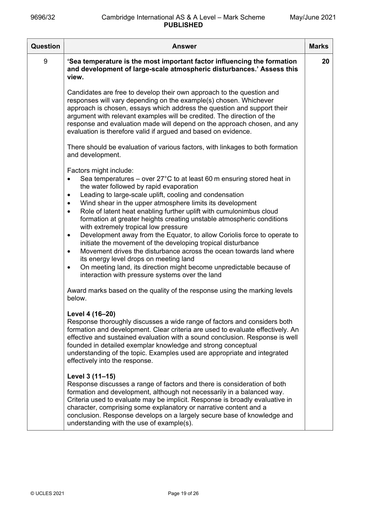
Q9 · ‘Sea temperature is the most important factor influencing the formation and development…
9 ‘Sea temperature is the most important factor influencing the formation and development of large-scale atmospheric disturbances.’ Assess this view. [20] Hot arid and semi-arid environments If answering this option, answer Question 10 and either Question 11 or Question 12.
Mark scheme: 9 ‘Sea temperature is the most important factor influencing the formation 20 and development of large-scale atmospheric disturbances.’ Assess this view. Candidates are free to develop their own approach to the question and responses will vary depending on the example(s) chosen. Whichever approach is chosen, essays which address the question and support their argument with relevant examples will be credited. The direction of the response and evaluation made will depend on the approach chosen, and any evaluation is therefore valid if argued and based on evidence. There should be evaluation of various factors, with linkages to both formation and development. Factors might include: • Sea temperatures – over 27°C to at least 60 m ensuring stored heat in the water followed by rapid evaporation • Leading to large-scale uplift, cooling and condensation • Wind shear in the upper atmosphere limits its development • Role of latent heat enabling further uplift with cumulonimbus cloud formation at greater heights creating unstable atmospheric conditions with extremely tropical low pressure • Development away from the Equator, to allow Coriolis force to operate to initiate the movement of the developing tropical disturbance • Movement drives the disturbance across the ocean towards land where its energy level drops on meeting land • On meeting land, its direction might become unpredictable because of interaction with pressure systems over the land Award marks based on the quality of the response using the marking levels below. Level 4 (16–20) Response thoroughly discusses a wide range of factors and considers both formation and development. Clear criteria are used to evaluate effectively. An effective and sustained evaluation with a sound conclusion. Response is well founded in detailed exemplar knowledge and strong conceptual understanding of the topic. Examples used are appropriate and integrated effectively into the response. Level 3 (11–15) Response discusses a range of factors and there is consideration of both formation and development, although not necessarily in a balanced way. Criteria used to evaluate may be implicit. Response is broadly evaluative in character, comprising some explanatory or narrative content and a conclusion. Response develops on a largely secure base of knowledge and understanding with the use of example(s). 9 Level 2 (6–10) Response demonstrates some knowledge and understanding of factors but discussion may be unbalanced and coverage of both formation and development limited. Response is mainly descriptive or explanatory in approach and contains a brief or thinly supported evaluation. Responses without the use of example(s) to support the response will not get above the middle of Level 2 (8 marks). Level 1 (1–5) Response makes a few general points about large-scale atmospheric disturbances but without the necessary focus on factors. A descriptive response comprising a few simple points. Knowledge is basic and understanding may be poor and lack relevance to the question set. Level 0 (0) No creditable response. Hot arid and semi-arid environments If answering this option, answer Question 10 and either Question 11 or Question 12.
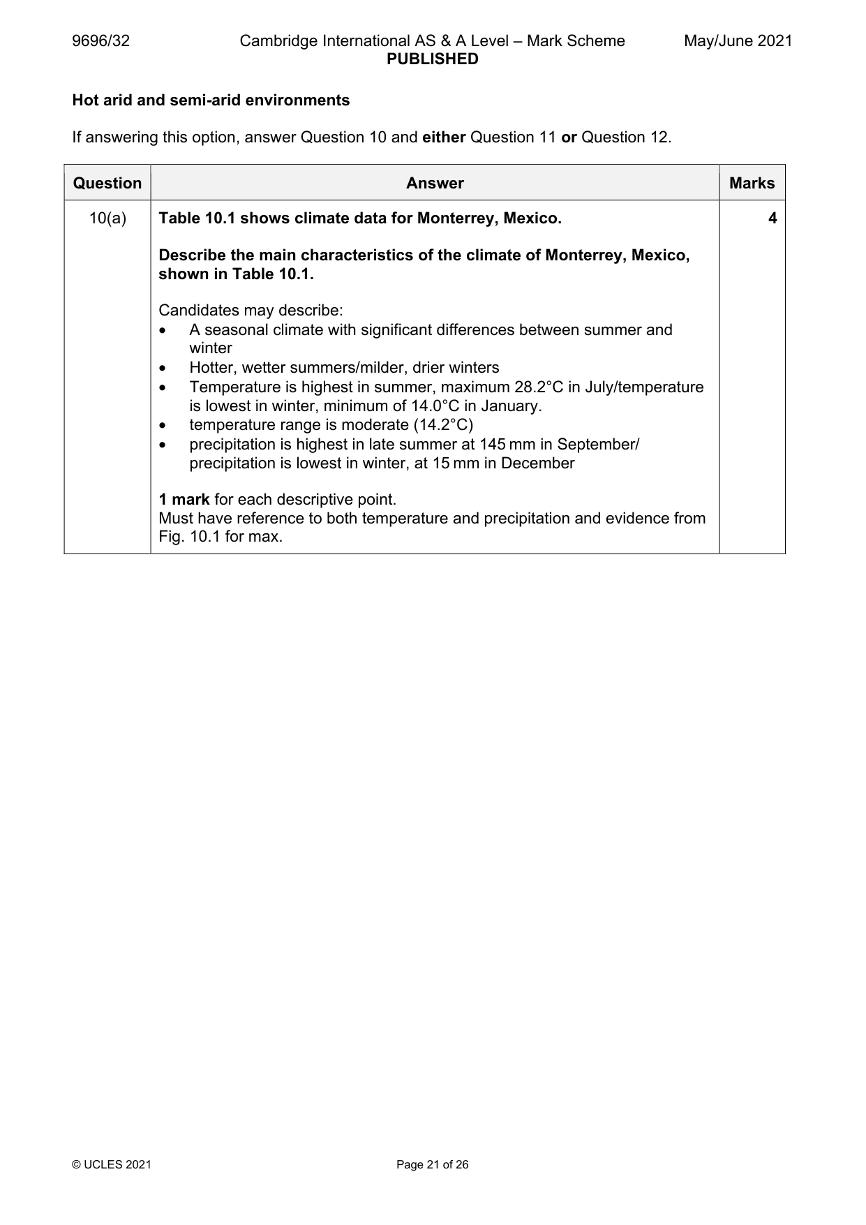
Q10 · Climate data for Monterrey, Mexico
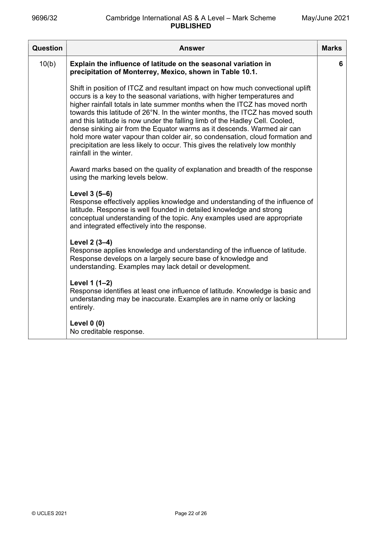
10 Table 10.1 shows climate data for Monterrey, Mexico. (a) Describe the main characteristics of the climate of Monterrey, Mexico, shown in Table 10.1. [4] (b) Explain the influence of latitude on the seasonal variation in precipitation of Monterrey, Mexico, shown in Table 10.1. [6]
Mark scheme: 10(a) Table 10.1 shows climate data for Monterrey, Mexico. 4 Describe the main characteristics of the climate of Monterrey, Mexico, shown in Table 10.1. Candidates may describe: • A seasonal climate with significant differences between summer and winter • Hotter, wetter summers/milder, drier winters • Temperature is highest in summer, maximum 28.2°C in July/temperature is lowest in winter, minimum of 14.0°C in January. • temperature range is moderate (14.2°C) • precipitation is highest in late summer at 145 mm in September/ precipitation is lowest in winter, at 15 mm in December 1 mark for each descriptive point. Must have reference to both temperature and precipitation and evidence from Fig. 10.1 for max. 10(b) Explain the influence of latitude on the seasonal variation in 6 precipitation of Monterrey, Mexico, shown in Table 10.1. Shift in position of ITCZ and resultant impact on how much convectional uplift occurs is a key to the seasonal variations, with higher temperatures and higher rainfall totals in late summer months when the ITCZ has moved north towards this latitude of 26°N. In the winter months, the ITCZ has moved south and this latitude is now under the falling limb of the Hadley Cell. Cooled, dense sinking air from the Equator warms as it descends. Warmed air can hold more water vapour than colder air, so condensation, cloud formation and precipitation are less likely to occur. This gives the relatively low monthly rainfall in the winter. Award marks based on the quality of explanation and breadth of the response using the marking levels below. Level 3 (5–6) Response effectively applies knowledge and understanding of the influence of latitude. Response is well founded in detailed knowledge and strong conceptual understanding of the topic. Any examples used are appropriate and integrated effectively into the response. Level 2 (3–4) Response applies knowledge and understanding of the influence of latitude. Response develops on a largely secure base of knowledge and understanding. Examples may lack detail or development. Level 1 (1–2) Response identifies at least one influence of latitude. Knowledge is basic and understanding may be inaccurate. Examples are in name only or lacking entirely. Level 0 (0) No creditable response.
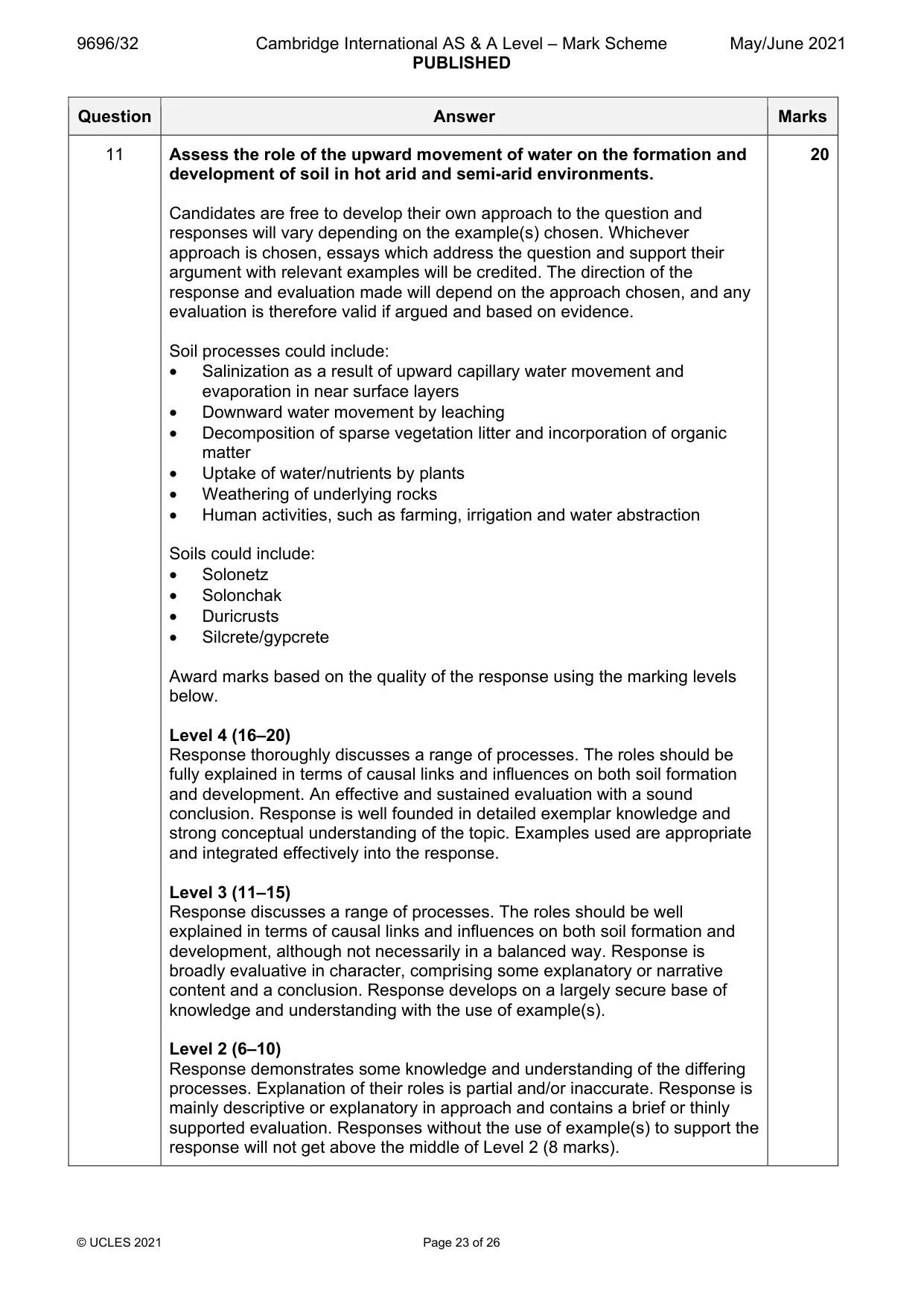
Q11 · Assess the role of the upward movement of water on the formation and development of soil…
11 Assess the role of the upward movement of water on the formation and development of soil in hot arid and semi-arid environments. [20]
Mark scheme: 11 Assess the role of the upward movement of water on the formation and 20 development of soil in hot arid and semi-arid environments. Candidates are free to develop their own approach to the question and responses will vary depending on the example(s) chosen. Whichever approach is chosen, essays which address the question and support their argument with relevant examples will be credited. The direction of the response and evaluation made will depend on the approach chosen, and any evaluation is therefore valid if argued and based on evidence. Soil processes could include: • Salinization as a result of upward capillary water movement and evaporation in near surface layers • Downward water movement by leaching • Decomposition of sparse vegetation litter and incorporation of organic matter • Uptake of water/nutrients by plants • Weathering of underlying rocks • Human activities, such as farming, irrigation and water abstraction Soils could include: • Solonetz • Solonchak • Duricrusts • Silcrete/gypcrete Award marks based on the quality of the response using the marking levels below. Level 4 (16–20) Response thoroughly discusses a range of processes. The roles should be fully explained in terms of causal links and influences on both soil formation and development. An effective and sustained evaluation with a sound conclusion. Response is well founded in detailed exemplar knowledge and strong conceptual understanding of the topic. Examples used are appropriate and integrated effectively into the response. Level 3 (11–15) Response discusses a range of processes. The roles should be well explained in terms of causal links and influences on both soil formation and development, although not necessarily in a balanced way. Response is broadly evaluative in character, comprising some explanatory or narrative content and a conclusion. Response develops on a largely secure base of knowledge and understanding with the use of example(s). Level 2 (6–10) Response demonstrates some knowledge and understanding of the differing processes. Explanation of their roles is partial and/or inaccurate. Response is mainly descriptive or explanatory in approach and contains a brief or thinly supported evaluation. Responses without the use of example(s) to support the response will not get above the middle of Level 2 (8 marks). 11 Level 1 (1–5) Response makes a few general points about processes without the necessary focus on their influence. A descriptive response comprising a few simple points. Knowledge is basic and understanding may be poor and lack relevance to the question set. Level 0 (0) No creditable response.
Q12 · To what extent are landforms of hot arid and semi-arid environments influenced by past…
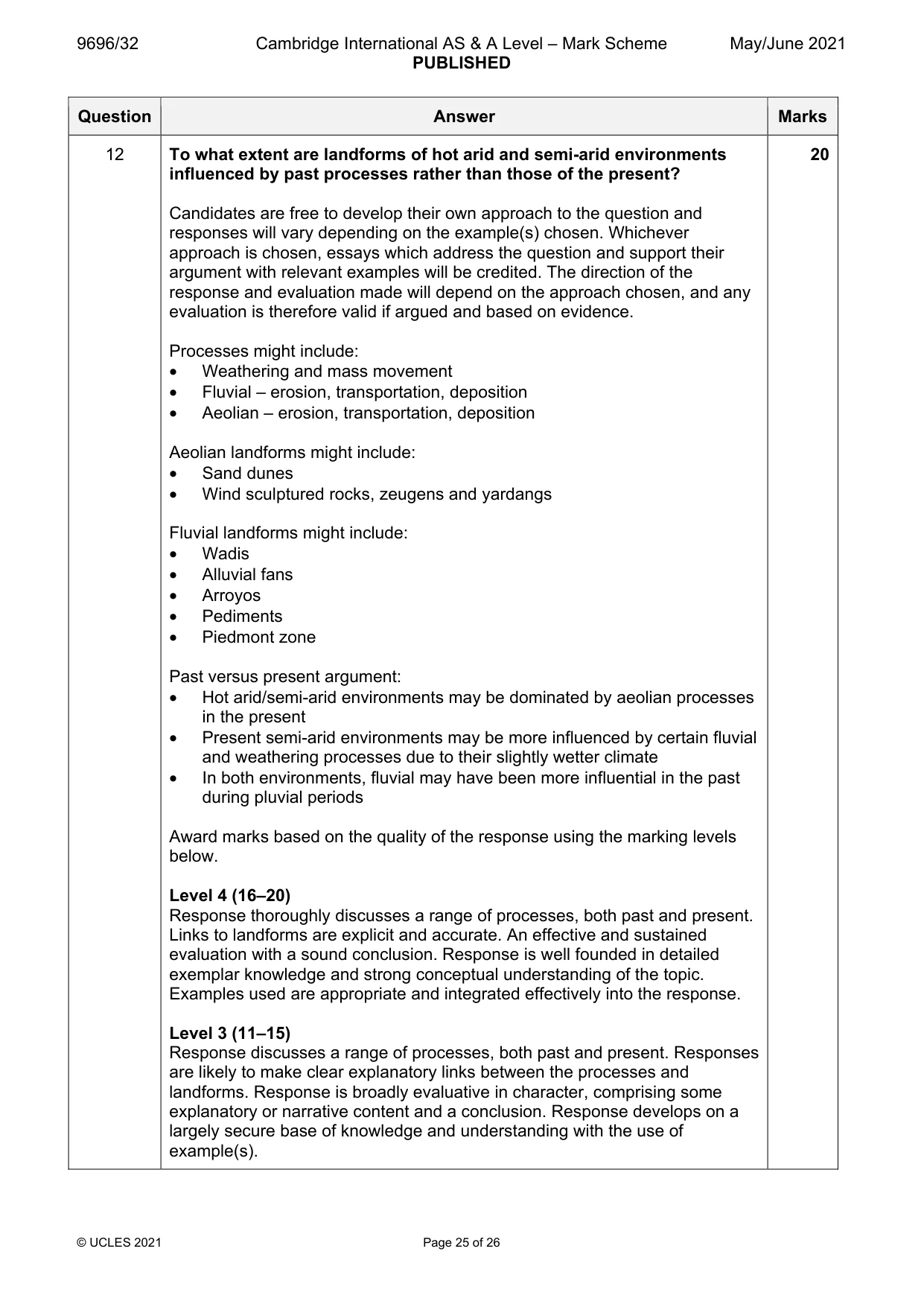
12 To what extent are landforms of hot arid and semi-arid environments influenced by past processes rather than those of the present? [20]
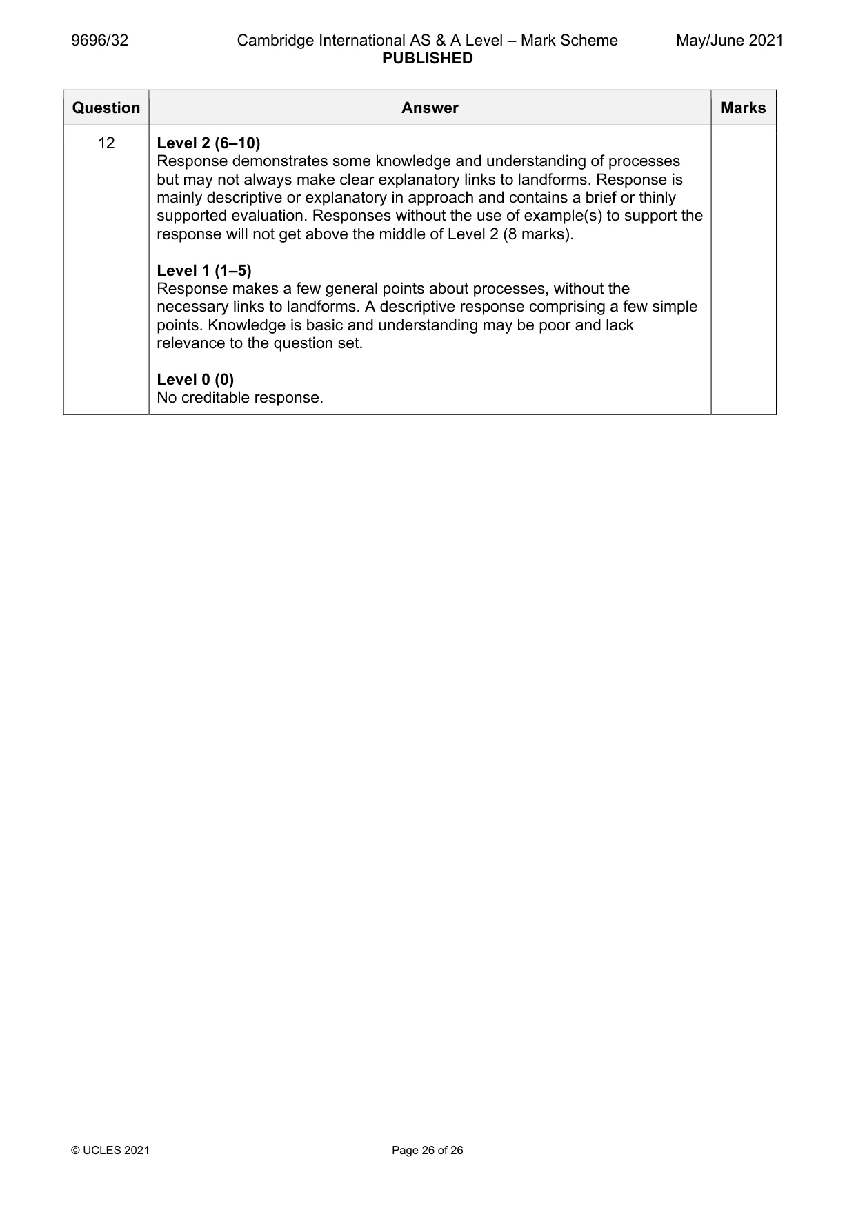
Mark scheme: 12 To what extent are landforms of hot arid and semi-arid environments 20 influenced by past processes rather than those of the present? Candidates are free to develop their own approach to the question and responses will vary depending on the example(s) chosen. Whichever approach is chosen, essays which address the question and support their argument with relevant examples will be credited. The direction of the response and evaluation made will depend on the approach chosen, and any evaluation is therefore valid if argued and based on evidence. Processes might include: • Weathering and mass movement • Fluvial – erosion, transportation, deposition • Aeolian – erosion, transportation, deposition Aeolian landforms might include: • Sand dunes • Wind sculptured rocks, zeugens and yardangs Fluvial landforms might include: • Wadis • Alluvial fans • Arroyos • Pediments • Piedmont zone Past versus present argument: • Hot arid/semi-arid environments may be dominated by aeolian processes in the present • Present semi-arid environments may be more influenced by certain fluvial and weathering processes due to their slightly wetter climate • In both environments, fluvial may have been more influential in the past during pluvial periods Award marks based on the quality of the response using the marking levels below. Level 4 (16–20) Response thoroughly discusses a range of processes, both past and present. Links to landforms are explicit and accurate. An effective and sustained evaluation with a sound conclusion. Response is well founded in detailed exemplar knowledge and strong conceptual understanding of the topic. Examples used are appropriate and integrated effectively into the response. Level 3 (11–15) Response discusses a range of processes, both past and present. Responses are likely to make clear explanatory links between the processes and landforms. Response is broadly evaluative in character, comprising some explanatory or narrative content and a conclusion. Response develops on a largely secure base of knowledge and understanding with the use of example(s). 12 Level 2 (6–10) Response demonstrates some knowledge and understanding of processes but may not always make clear explanatory links to landforms. Response is mainly descriptive or explanatory in approach and contains a brief or thinly supported evaluation. Responses without the use of example(s) to support the response will not get above the middle of Level 2 (8 marks). Level 1 (1–5) Response makes a few general points about processes, without the necessary links to landforms. A descriptive response comprising a few simple points. Knowledge is basic and understanding may be poor and lack relevance to the question set. Level 0 (0) No creditable response.
What was in this paper
The subtopics covered by these 12 questions, and how many questions each got. Open one in a new tab to see every Cambridge question on it.
1Coral reefs1Hazards resulting from atmospheric disturbances1Hazards resulting from mass movements1Hazards resulting from tectonic processes1Hot arid and semi-arid climates1Humid tropical (rainforest) ecosystems and seasonally humid tropical (savanna) ecosystems1Landforms of hot arid and semi-arid environments1Soils and vegetation1Sustainable management in hazardous environments1Sustainable management of tropical environments1Tropical climates1What you needed in this session
Cambridge’s own grade thresholds for 2021 May/June, Paper 3 · Variant 2. A higher threshold means an easier paper — the bar moves with how the cohort did.