Cambridge A Level Geography 9696 — 2020 May/June Paper 3 · Variant 1
9696/31/M/J/20
The question paper and its mark scheme, free to read here and free to download. This is Cambridge’s own paper, exactly as it was sat.
Question paper4 pages

Mark scheme26 pages
Answers below. Sit the paper first if you are practising.

Paper as text
Question paper, page 1
Cambridge International AS & A Level GEOGRAPHY 9696/31 Paper 3 Advanced Physical Geography Options May/June 2020 1 hour 30 minutes You must answer on the enclosed answer booklet. You will need: Answer booklet (enclosed) Insert (enclosed) INSTRUCTIONS ● Answer four questions in total: Answer questions from two options. For each option, follow the instructions inside on which questions to answer. ● Follow the instructions on the front cover of the answer booklet. If you need additional answer paper, ask the invigilator for a continuation booklet. ● Sketch maps and diagrams should be drawn whenever they serve to illustrate an answer. ● You should make reference to appropriate examples studied in the field or the classroom, even where such examples are not specifically requested by the question. INFORMATION ● The total mark for this paper is 60. ● The number of marks for each question or part question is shown in brackets [ ]. ● The insert contains all the resources referred to in the questions. This document has 4 pages. Blank pages are indicated. DC (LK) 183944/3 © UCLES 2020 [Turn over * 8 3 2 0 8 2 0 1 2 5 *
Question paper, page 2
2 9696/31/M/J/20 © UCLES 2020 Answer questions from two different options. Tropical environments If answering this option, answer Question 1 and either Question 2 or Question 3. 1 Fig. 1.1 shows the global distribution of humid tropical and seasonally humid tropical environments. (a) Compare the global distributions of humid tropical and seasonally humid tropical environments shown in Fig. 1.1. [4] (b) Explain why the environments shown in Fig. 1.1 are humid. [6] 2 Assess the relative importance of weathering and erosion in the formation of characteristic granite landforms in tropical environments. [20] 3 ‘Laterisation is the most important process influencing soil profile characteristics in tropical environments.’ How far do you agree with this view? [20] Coastal environments If answering this option, answer Question 4 and either Question 5 or Question 6. 4 Fig. 4.1 shows the relationship between wave height and fetch length for a coastal location. (a) Describe the relationship between wave height and fetch length shown in Fig. 4.1. [4] (b) Explain two factors influencing wave height. [6] 5 Using a case study of a stretch or stretches of coastline, assess the extent to which the problems of sustainably managing coasts are the result of physical factors. [20] 6 To what extent is sediment supply the most important factor influencing the characteristics and formation of depositional landforms in coastal environments? [20]
Question paper, page 3
3 9696/31/M/J/20 © UCLES 2020 Hazardous environments If answering this option, answer Question 7 and either Question 8 or Question 9. 7 Fig. 7.1 shows a volcanic hazard map for Dominica in the Caribbean Sea. (a) Describe the pattern of volcanic hazard zones shown in Fig. 7.1. [4] (b) Suggest two reasons why some places have a very high hazard level. [6] 8 Assess the relative significance of the hazards resulting from large scale atmospheric disturbances (cyclones, hurricanes, typhoons). [20] 9 Using a case study, evaluate the attempted and possible solutions to the problems of sustainable management of a hazardous environment. [20] Hot arid and semi-arid environments If answering this option, answer Question 10 and either Question 11 or Question 12. 10 Fig. 10.1 is a photograph which shows a hot arid landscape in the USA. (a) With the aid of a labelled diagram, describe the main physical features of the landscape shown in Fig. 10.1. [4] (b) Suggest how two different processes have influenced the formation of the landscape shown in Fig. 10.1. [6] 11 ‘Vegetation in hot arid and semi-arid environments is adapted more to extreme temperatures than to drought.’ How far do you agree with this statement? [20] 12 Evaluate the varied evidence for past climate change in hot arid and semi-arid environments. [20]
Question paper, page 4
4 9696/31/M/J/20 © UCLES 2020 BLANK PAGE The boundaries and names shown, the designations used and the presentation of material on the maps contained in this question paper/insert do not imply official endorsement or acceptance by Cambridge Assessment International Education concerning the legal status of any country, territory, or area or any of its authorities, or of the delimitation of its frontiers or boundaries. Permission to reproduce items where third-party owned material protected by copyright is included has been sought and cleared where possible. Every reasonable effort has been made by the publisher (UCLES) to trace copyright holders, but if any items requiring clearance have unwittingly been included, the publisher will be pleased to make amends at the earliest possible opportunity. To avoid the issue of disclosure of answer-related information to candidates, all copyright acknowledgements are reproduced online in the Cambridge Assessment International Education Copyright Acknowledgements Booklet. This is produced for each series of examinations and is freely available to download at www.cambridgeinternational.org after the live examination series. Cambridge Assessment International Education is part of the Cambridge Assessment Group. Cambridge Assessment is the brand name of the University of Cambridge Local Examinations Syndicate (UCLES), which itself is a department of the University of Cambridge.
Mark scheme, page 1
This document consists of 26 printed pages. © UCLES 2020 [Turn over Cambridge International AS & A Level GEOGRAPHY 9696/31 Paper 3 Advanced Physical Geography Options May/June 2020 MARK SCHEME Maximum Mark: 60 Published Students did not sit exam papers in the June 2020 series due to the Covid-19 global pandemic. This mark scheme is published to support teachers and students and should be read together with the question paper. It shows the requirements of the exam. The answer column of the mark scheme shows the proposed basis on which Examiners would award marks for this exam. Where appropriate, this column also provides the most likely acceptable alternative responses expected from students. Examiners usually review the mark scheme after they have seen student responses and update the mark scheme if appropriate. In the June series, Examiners were unable to consider the acceptability of alternative responses, as there were no student responses to consider. Mark schemes should usually be read together with the Principal Examiner Report for Teachers. However, because students did not sit exam papers, there is no Principal Examiner Report for Teachers for the June 2020 series. Cambridge International will not enter into discussions about these mark schemes. Cambridge International is publishing the mark schemes for the June 2020 series for most Cambridge IGCSE™ and Cambridge International A & AS Level components, and some Cambridge O Level components.
Mark scheme, page 2
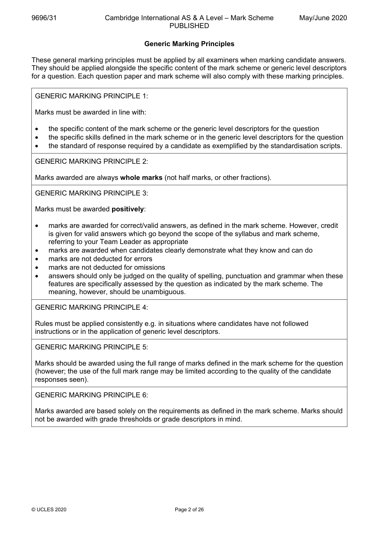
9696/31 Cambridge International AS & A Level – Mark Scheme PUBLISHED May/June 2020 © UCLES 2020 Page 2 of 26 Generic Marking Principles These general marking principles must be applied by all examiners when marking candidate answers. They should be applied alongside the specific content of the mark scheme or generic level descriptors for a question. Each question paper and mark scheme will also comply with these marking principles. GENERIC MARKING PRINCIPLE 1: Marks must be awarded in line with: • the specific content of the mark scheme or the generic level descriptors for the question • the specific skills defined in the mark scheme or in the generic level descriptors for the question • the standard of response required by a candidate as exemplified by the standardisation scripts. GENERIC MARKING PRINCIPLE 2: Marks awarded are always whole marks (not half marks, or other fractions). GENERIC MARKING PRINCIPLE 3: Marks must be awarded positively: • marks are awarded for correct/valid answers, as defined in the mark scheme. However, credit is given for valid answers which go beyond the scope of the syllabus and mark scheme, referring to your Team Leader as appropriate • marks are awarded when candidates clearly demonstrate what they know and can do • marks are not deducted for errors • marks are not deducted for omissions • answers should only be judged on the quality of spelling, punctuation and grammar when these features are specifically assessed by the question as indicated by the mark scheme. The meaning, however, should be unambiguous. GENERIC MARKING PRINCIPLE 4: Rules must be applied consistently e.g. in situations where candidates have not followed instructions or in the application of generic level descriptors. GENERIC MARKING PRINCIPLE 5: Marks should be awarded using the full range of marks defined in the mark scheme for the question (however; the use of the full mark range may be limited according to the quality of the candidate responses seen). GENERIC MARKING PRINCIPLE 6: Marks awarded are based solely on the requirements as defined in the mark scheme. Marks should not be awarded with grade thresholds or grade descriptors in mind.
Mark scheme, page 3
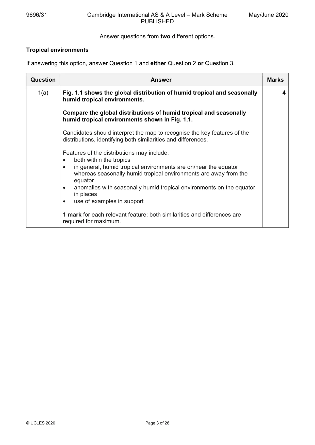
9696/31 Cambridge International AS & A Level – Mark Scheme PUBLISHED May/June 2020 © UCLES 2020 Page 3 of 26 Answer questions from two different options. Tropical environments If answering this option, answer Question 1 and either Question 2 or Question 3. Question Answer Marks 1(a) Fig. 1.1 shows the global distribution of humid tropical and seasonally humid tropical environments. Compare the global distributions of humid tropical and seasonally humid tropical environments shown in Fig. 1.1. Candidates should interpret the map to recognise the key features of the distributions, identifying both similarities and differences. Features of the distributions may include: • both within the tropics • in general, humid tropical environments are on/near the equator whereas seasonally humid tropical environments are away from the equator • anomalies with seasonally humid tropical environments on the equator in places • use of examples in support 1 mark for each relevant feature; both similarities and differences are required for maximum. 4
Mark scheme, page 4
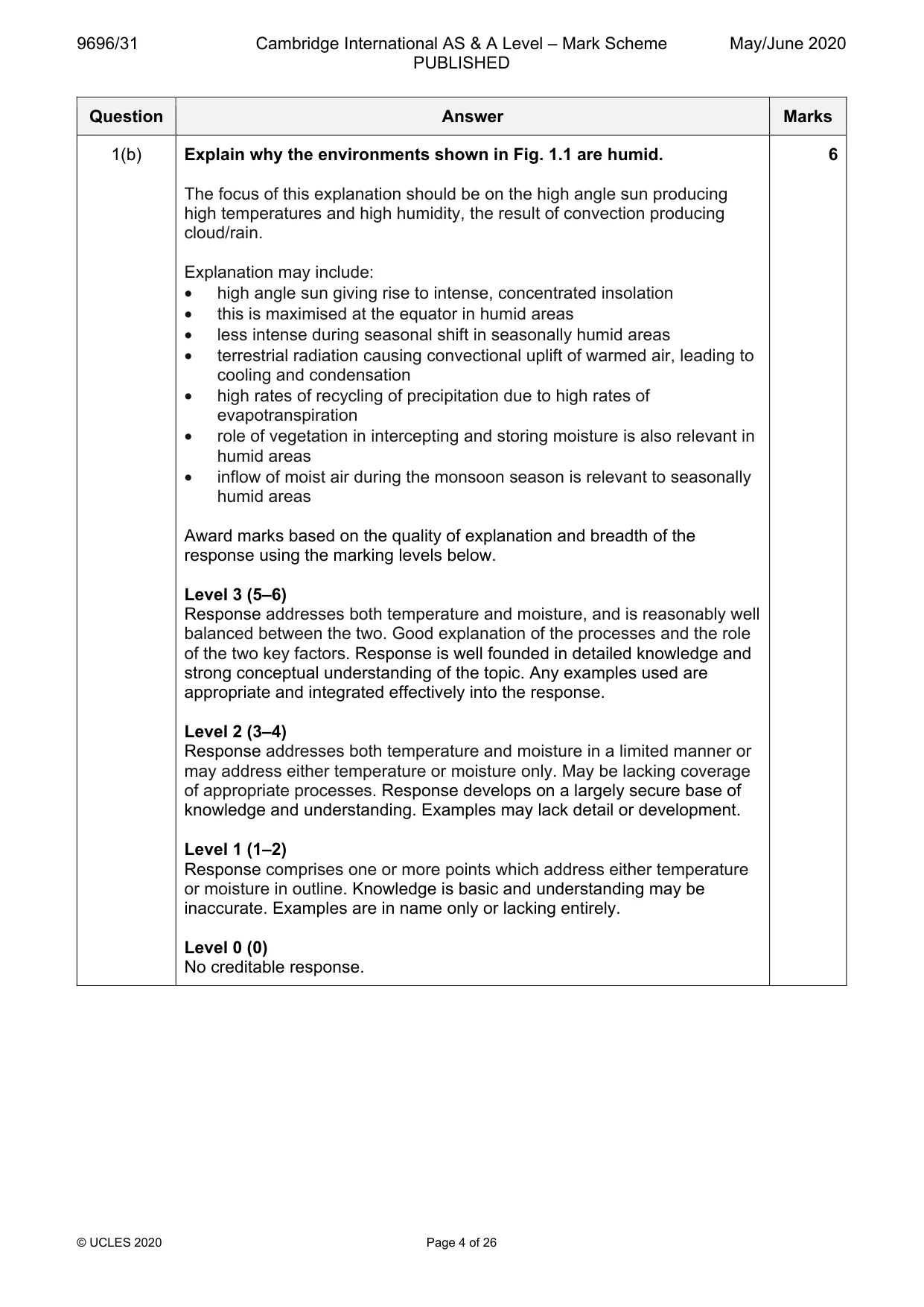
9696/31 Cambridge International AS & A Level – Mark Scheme PUBLISHED May/June 2020 © UCLES 2020 Page 4 of 26 Question Answer Marks 1(b) Explain why the environments shown in Fig. 1.1 are humid. The focus of this explanation should be on the high angle sun producing high temperatures and high humidity, the result of convection producing cloud/rain. Explanation may include: • high angle sun giving rise to intense, concentrated insolation • this is maximised at the equator in humid areas • less intense during seasonal shift in seasonally humid areas • terrestrial radiation causing convectional uplift of warmed air, leading to cooling and condensation • high rates of recycling of precipitation due to high rates of evapotranspiration • role of vegetation in intercepting and storing moisture is also relevant in humid areas • inflow of moist air during the monsoon season is relevant to seasonally humid areas Award marks based on the quality of explanation and breadth of the response using the marking levels below. Level 3 (5–6) Response addresses both temperature and moisture, and is reasonably well balanced between the two. Good explanation of the processes and the role of the two key factors. Response is well founded in detailed knowledge and strong conceptual understanding of the topic. Any examples used are appropriate and integrated effectively into the response. Level 2 (3–4) Response addresses both temperature and moisture in a limited manner or may address either temperature or moisture only. May be lacking coverage of appropriate processes. Response develops on a largely secure base of knowledge and understanding. Examples may lack detail or development. Level 1 (1–2) Response comprises one or more points which address either temperature or moisture in outline. Knowledge is basic and understanding may be inaccurate. Examples are in name only or lacking entirely. Level 0 (0) No creditable response. 6
Mark scheme, page 5
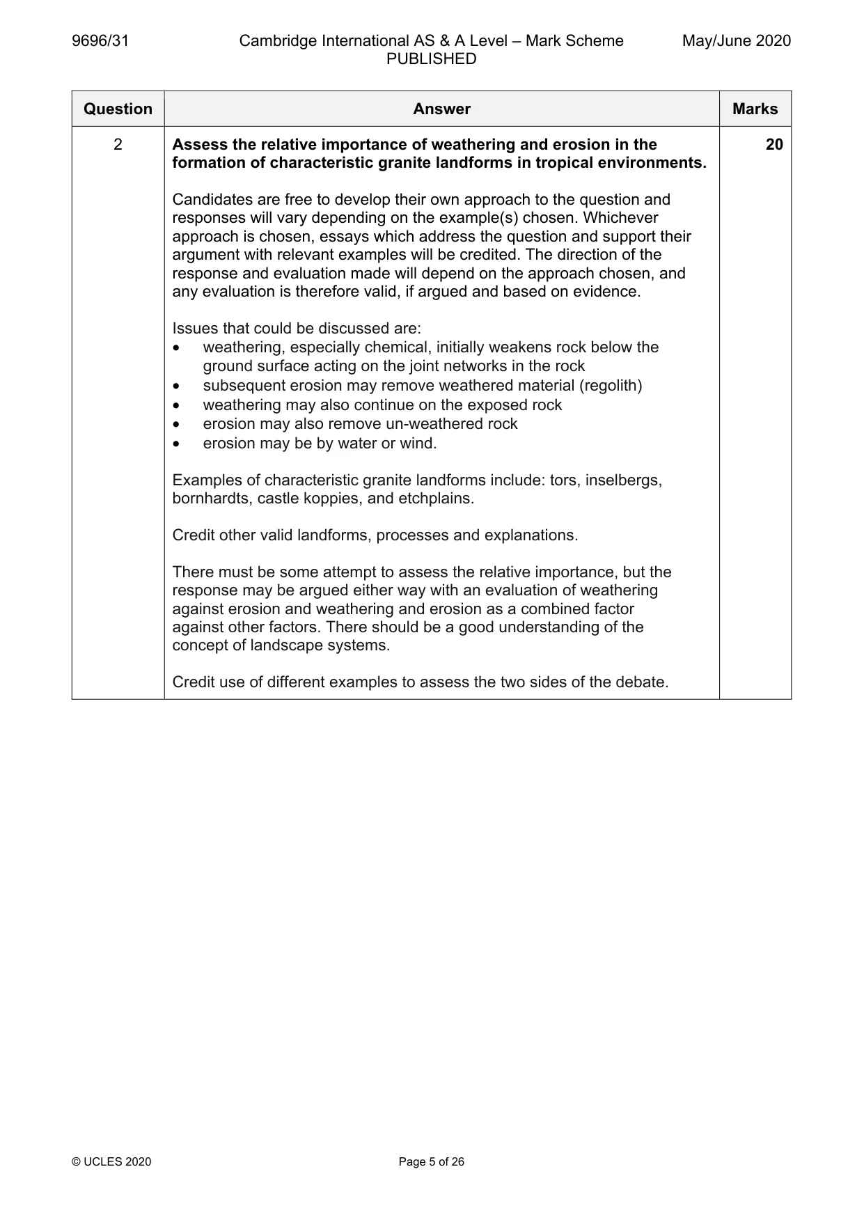
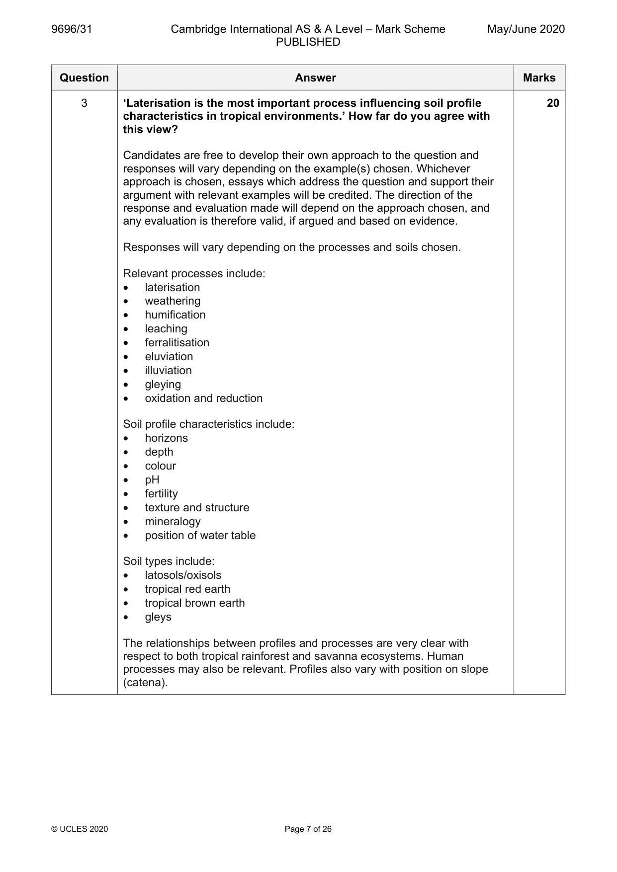
9696/31 Cambridge International AS & A Level – Mark Scheme PUBLISHED May/June 2020 © UCLES 2020 Page 5 of 26 Question Answer Marks 2 Assess the relative importance of weathering and erosion in the formation of characteristic granite landforms in tropical environments. Candidates are free to develop their own approach to the question and responses will vary depending on the example(s) chosen. Whichever approach is chosen, essays which address the question and support their argument with relevant examples will be credited. The direction of the response and evaluation made will depend on the approach chosen, and any evaluation is therefore valid, if argued and based on evidence. Issues that could be discussed are: • weathering, especially chemical, initially weakens rock below the ground surface acting on the joint networks in the rock • subsequent erosion may remove weathered material (regolith) • weathering may also continue on the exposed rock • erosion may also remove un-weathered rock • erosion may be by water or wind. Examples of characteristic granite landforms include: tors, inselbergs, bornhardts, castle koppies, and etchplains. Credit other valid landforms, processes and explanations. There must be some attempt to assess the relative importance, but the response may be argued either way with an evaluation of weathering against erosion and weathering and erosion as a combined factor against other factors. There should be a good understanding of the concept of landscape systems. Credit use of different examples to assess the two sides of the debate. 20
Mark scheme, page 6
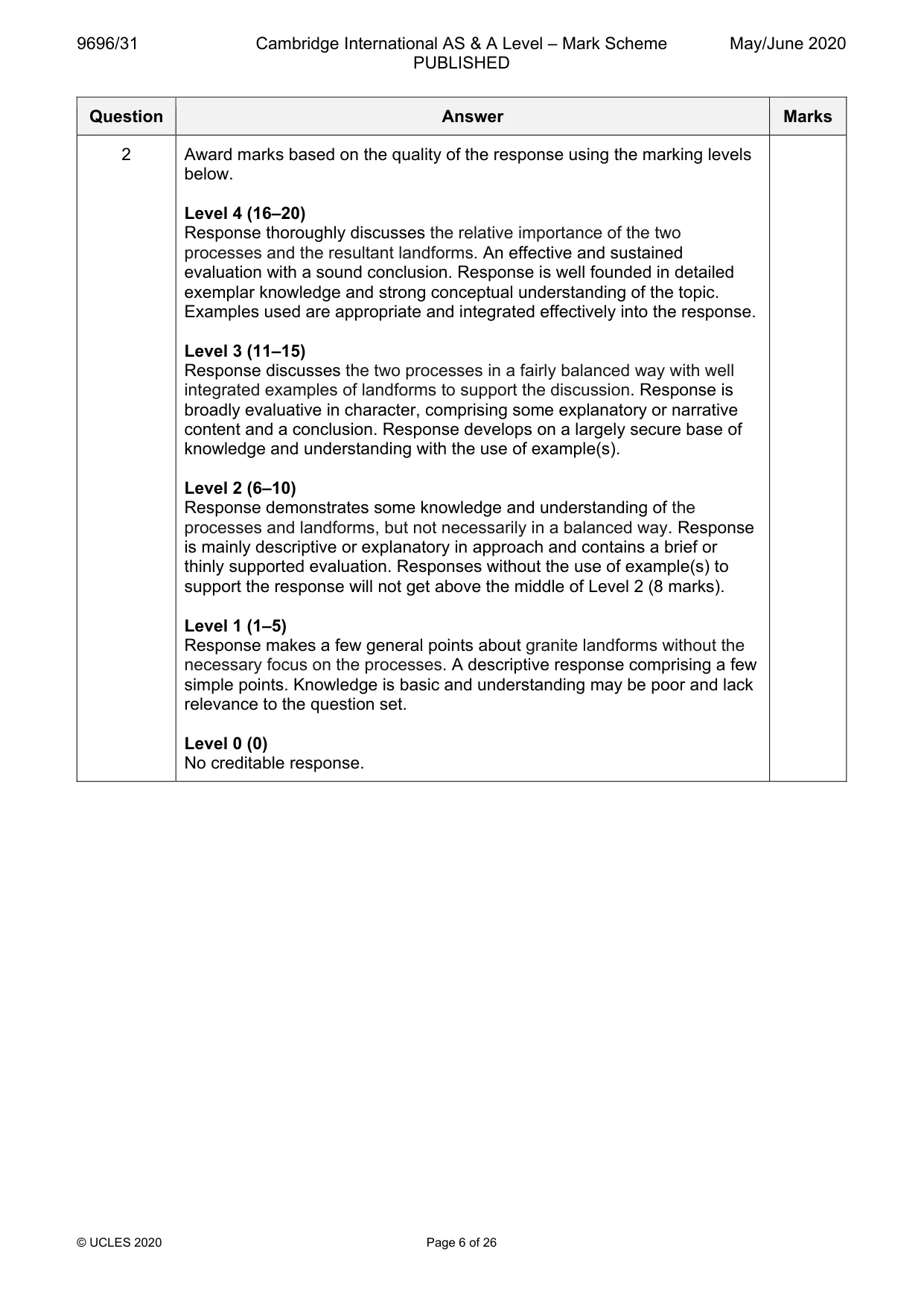
9696/31 Cambridge International AS & A Level – Mark Scheme PUBLISHED May/June 2020 © UCLES 2020 Page 6 of 26 Question Answer Marks 2 Award marks based on the quality of the response using the marking levels below. Level 4 (16–20) Response thoroughly discusses the relative importance of the two processes and the resultant landforms. An effective and sustained evaluation with a sound conclusion. Response is well founded in detailed exemplar knowledge and strong conceptual understanding of the topic. Examples used are appropriate and integrated effectively into the response. Level 3 (11–15) Response discusses the two processes in a fairly balanced way with well integrated examples of landforms to support the discussion. Response is broadly evaluative in character, comprising some explanatory or narrative content and a conclusion. Response develops on a largely secure base of knowledge and understanding with the use of example(s). Level 2 (6–10) Response demonstrates some knowledge and understanding of the processes and landforms, but not necessarily in a balanced way. Response is mainly descriptive or explanatory in approach and contains a brief or thinly supported evaluation. Responses without the use of example(s) to support the response will not get above the middle of Level 2 (8 marks). Level 1 (1–5) Response makes a few general points about granite landforms without the necessary focus on the processes. A descriptive response comprising a few simple points. Knowledge is basic and understanding may be poor and lack relevance to the question set. Level 0 (0) No creditable response.
Mark scheme, page 7
9696/31 Cambridge International AS & A Level – Mark Scheme PUBLISHED May/June 2020 © UCLES 2020 Page 7 of 26 Question Answer Marks 3 ‘Laterisation is the most important process influencing soil profile characteristics in tropical environments.’ How far do you agree with this view? Candidates are free to develop their own approach to the question and responses will vary depending on the example(s) chosen. Whichever approach is chosen, essays which address the question and support their argument with relevant examples will be credited. The direction of the response and evaluation made will depend on the approach chosen, and any evaluation is therefore valid, if argued and based on evidence. Responses will vary depending on the processes and soils chosen. Relevant processes include: • laterisation • weathering • humification • leaching • ferralitisation • eluviation • illuviation • gleying • oxidation and reduction Soil profile characteristics include: • horizons • depth • colour • pH • fertility • texture and structure • mineralogy • position of water table Soil types include: • latosols/oxisols • tropical red earth • tropical brown earth • gleys The relationships between profiles and processes are very clear with respect to both tropical rainforest and savanna ecosystems. Human processes may also be relevant. Profiles also vary with position on slope (catena). 20
Mark scheme, page 8
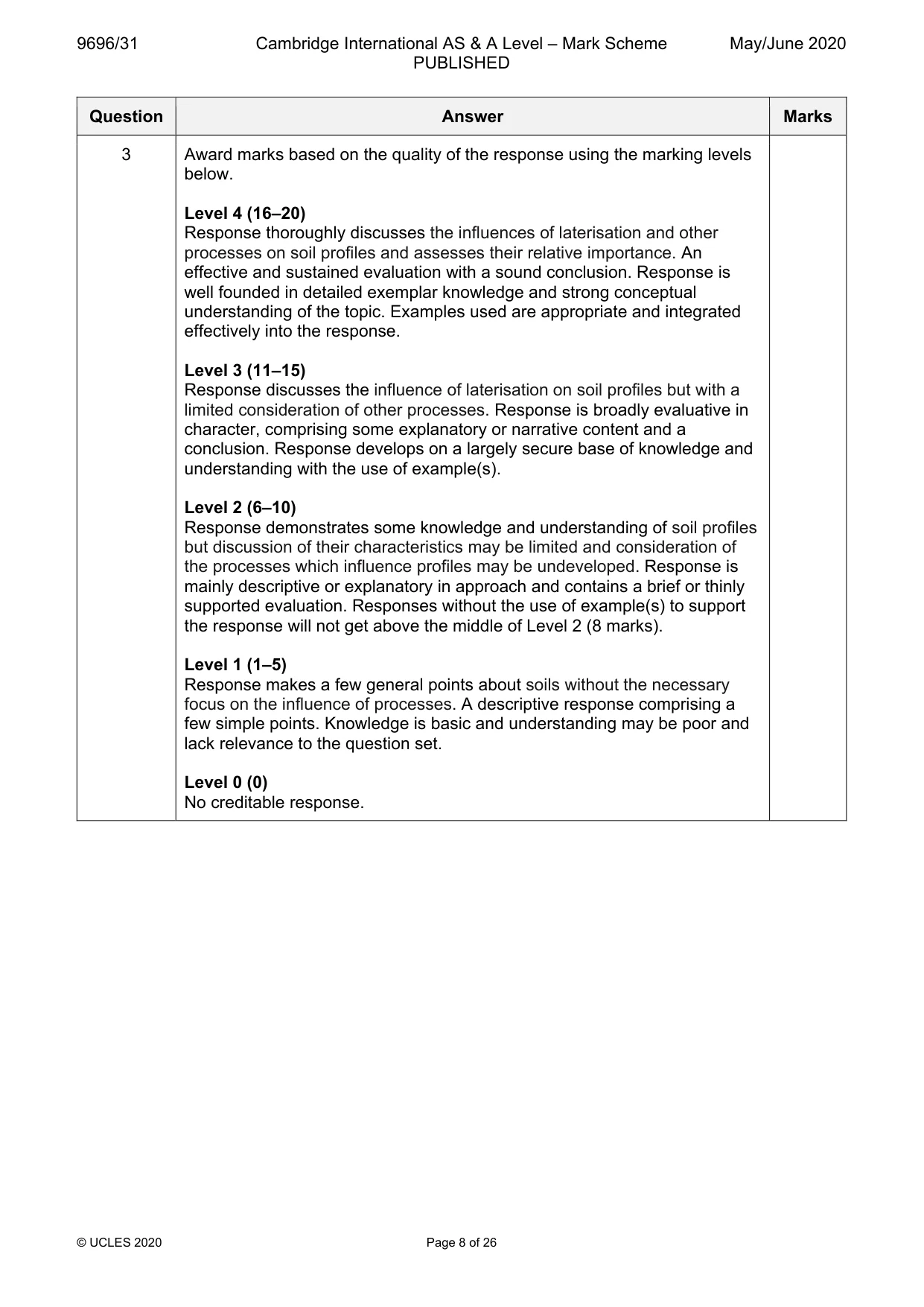
9696/31 Cambridge International AS & A Level – Mark Scheme PUBLISHED May/June 2020 © UCLES 2020 Page 8 of 26 Question Answer Marks 3 Award marks based on the quality of the response using the marking levels below. Level 4 (16–20) Response thoroughly discusses the influences of laterisation and other processes on soil profiles and assesses their relative importance. An effective and sustained evaluation with a sound conclusion. Response is well founded in detailed exemplar knowledge and strong conceptual understanding of the topic. Examples used are appropriate and integrated effectively into the response. Level 3 (11–15) Response discusses the influence of laterisation on soil profiles but with a limited consideration of other processes. Response is broadly evaluative in character, comprising some explanatory or narrative content and a conclusion. Response develops on a largely secure base of knowledge and understanding with the use of example(s). Level 2 (6–10) Response demonstrates some knowledge and understanding of soil profiles but discussion of their characteristics may be limited and consideration of the processes which influence profiles may be undeveloped. Response is mainly descriptive or explanatory in approach and contains a brief or thinly supported evaluation. Responses without the use of example(s) to support the response will not get above the middle of Level 2 (8 marks). Level 1 (1–5) Response makes a few general points about soils without the necessary focus on the influence of processes. A descriptive response comprising a few simple points. Knowledge is basic and understanding may be poor and lack relevance to the question set. Level 0 (0) No creditable response.
Mark scheme, page 9
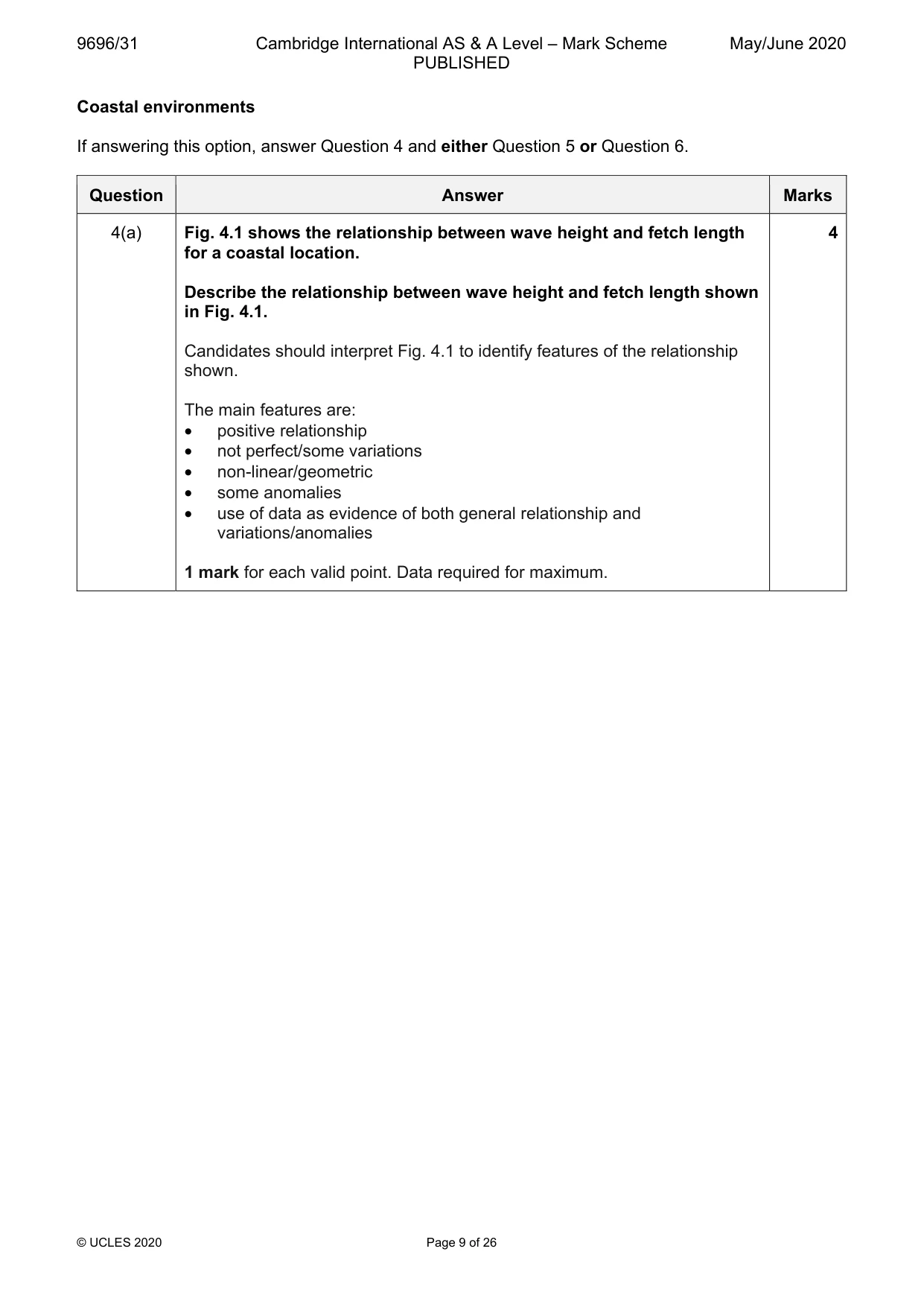
9696/31 Cambridge International AS & A Level – Mark Scheme PUBLISHED May/June 2020 © UCLES 2020 Page 9 of 26 Coastal environments If answering this option, answer Question 4 and either Question 5 or Question 6. Question Answer Marks 4(a) Fig. 4.1 shows the relationship between wave height and fetch length for a coastal location. Describe the relationship between wave height and fetch length shown in Fig. 4.1. Candidates should interpret Fig. 4.1 to identify features of the relationship shown. The main features are: • positive relationship • not perfect/some variations • non-linear/geometric • some anomalies • use of data as evidence of both general relationship and variations/anomalies 1 mark for each valid point. Data required for maximum. 4
Mark scheme, page 10
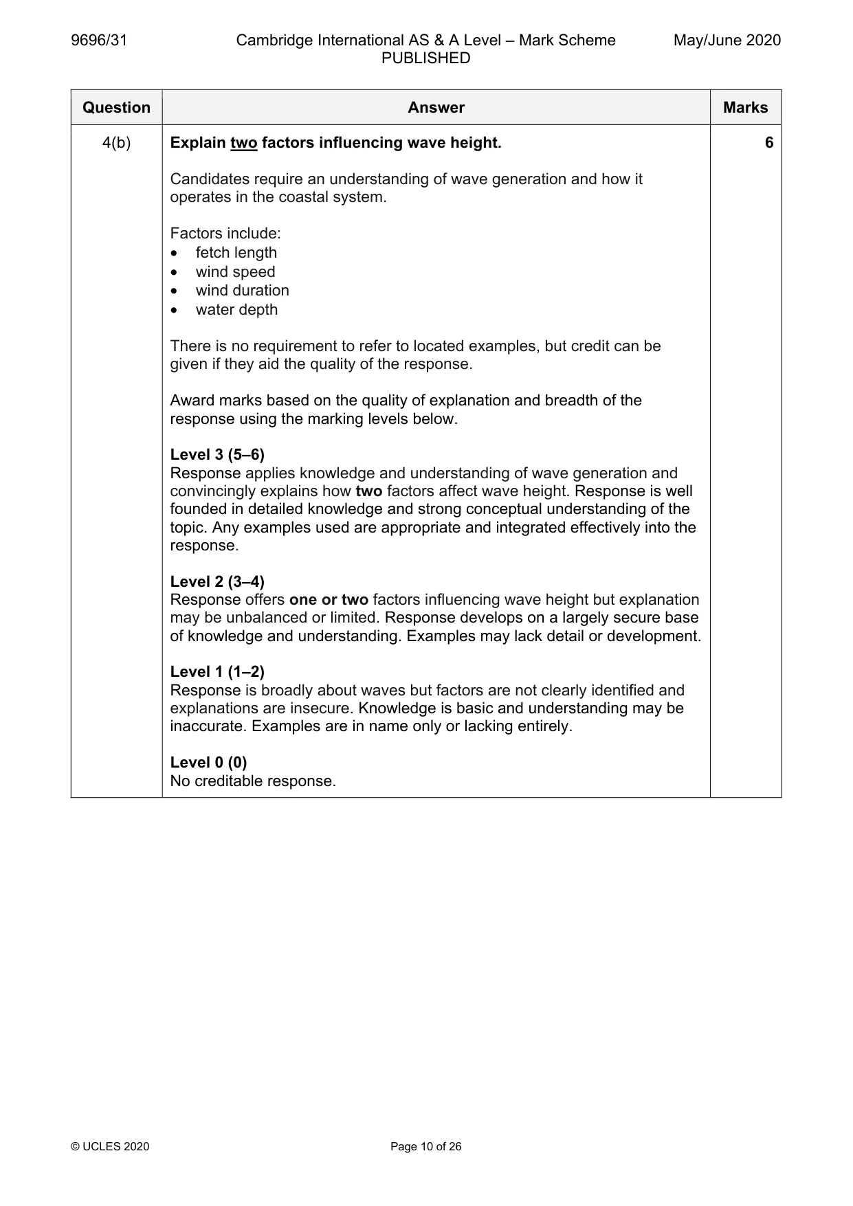
9696/31 Cambridge International AS & A Level – Mark Scheme PUBLISHED May/June 2020 © UCLES 2020 Page 10 of 26 Question Answer Marks 4(b) Explain two factors influencing wave height. Candidates require an understanding of wave generation and how it operates in the coastal system. Factors include: • fetch length • wind speed • wind duration • water depth There is no requirement to refer to located examples, but credit can be given if they aid the quality of the response. Award marks based on the quality of explanation and breadth of the response using the marking levels below. Level 3 (5–6) Response applies knowledge and understanding of wave generation and convincingly explains how two factors affect wave height. Response is well founded in detailed knowledge and strong conceptual understanding of the topic. Any examples used are appropriate and integrated effectively into the response. Level 2 (3–4) Response offers one or two factors influencing wave height but explanation may be unbalanced or limited. Response develops on a largely secure base of knowledge and understanding. Examples may lack detail or development. Level 1 (1–2) Response is broadly about waves but factors are not clearly identified and explanations are insecure. Knowledge is basic and understanding may be inaccurate. Examples are in name only or lacking entirely. Level 0 (0) No creditable response. 6
Mark scheme, page 11
9696/31 Cambridge International AS & A Level – Mark Scheme PUBLISHED May/June 2020 © UCLES 2020 Page 11 of 26 Question Answer Marks 5 Using a case study of a stretch or stretches of coastline, assess the extent to which the problems of sustainably managing coasts are the result of physical factors. Candidates are free to develop their own approach to the question and responses will vary depending on the example(s) chosen. Whichever approach is chosen, essays which address the question and support their argument with relevant examples will be credited. The direction of the response and evaluation made will depend on the approach chosen, and any evaluation is therefore valid, if argued and based on evidence. There may be detailed consideration of one short stretch of coastline or a more broadly conceived response covering a longer stretch in less detail. There must be some attempt at evaluating the relative contribution of physical and other factors, usually human. Physical factors include: • rising sea level • increased erosion rates • flooding • changes to sediment supply • coastal rock type • wave energy and direction Human factors include: • tourism pressures • land use changes • offshore activity • implications of management strategies used Candidates should attempt to make linkages between the factors and the problems. Credit other valid factors and explanations. 20
Mark scheme, page 12
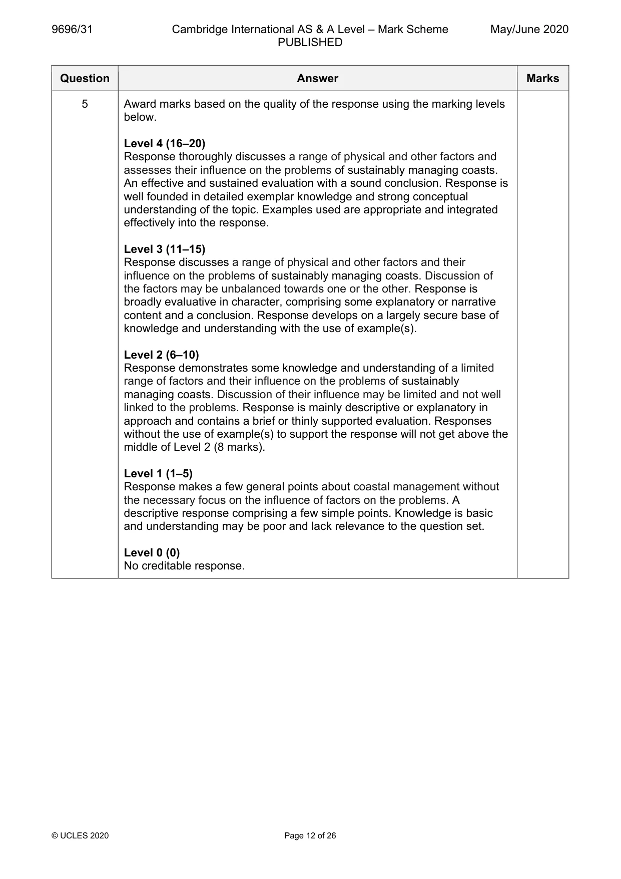
9696/31 Cambridge International AS & A Level – Mark Scheme PUBLISHED May/June 2020 © UCLES 2020 Page 12 of 26 Question Answer Marks 5 Award marks based on the quality of the response using the marking levels below. Level 4 (16–20) Response thoroughly discusses a range of physical and other factors and assesses their influence on the problems of sustainably managing coasts. An effective and sustained evaluation with a sound conclusion. Response is well founded in detailed exemplar knowledge and strong conceptual understanding of the topic. Examples used are appropriate and integrated effectively into the response. Level 3 (11–15) Response discusses a range of physical and other factors and their influence on the problems of sustainably managing coasts. Discussion of the factors may be unbalanced towards one or the other. Response is broadly evaluative in character, comprising some explanatory or narrative content and a conclusion. Response develops on a largely secure base of knowledge and understanding with the use of example(s). Level 2 (6–10) Response demonstrates some knowledge and understanding of a limited range of factors and their influence on the problems of sustainably managing coasts. Discussion of their influence may be limited and not well linked to the problems. Response is mainly descriptive or explanatory in approach and contains a brief or thinly supported evaluation. Responses without the use of example(s) to support the response will not get above the middle of Level 2 (8 marks). Level 1 (1–5) Response makes a few general points about coastal management without the necessary focus on the influence of factors on the problems. A descriptive response comprising a few simple points. Knowledge is basic and understanding may be poor and lack relevance to the question set. Level 0 (0) No creditable response.
Mark scheme, page 13
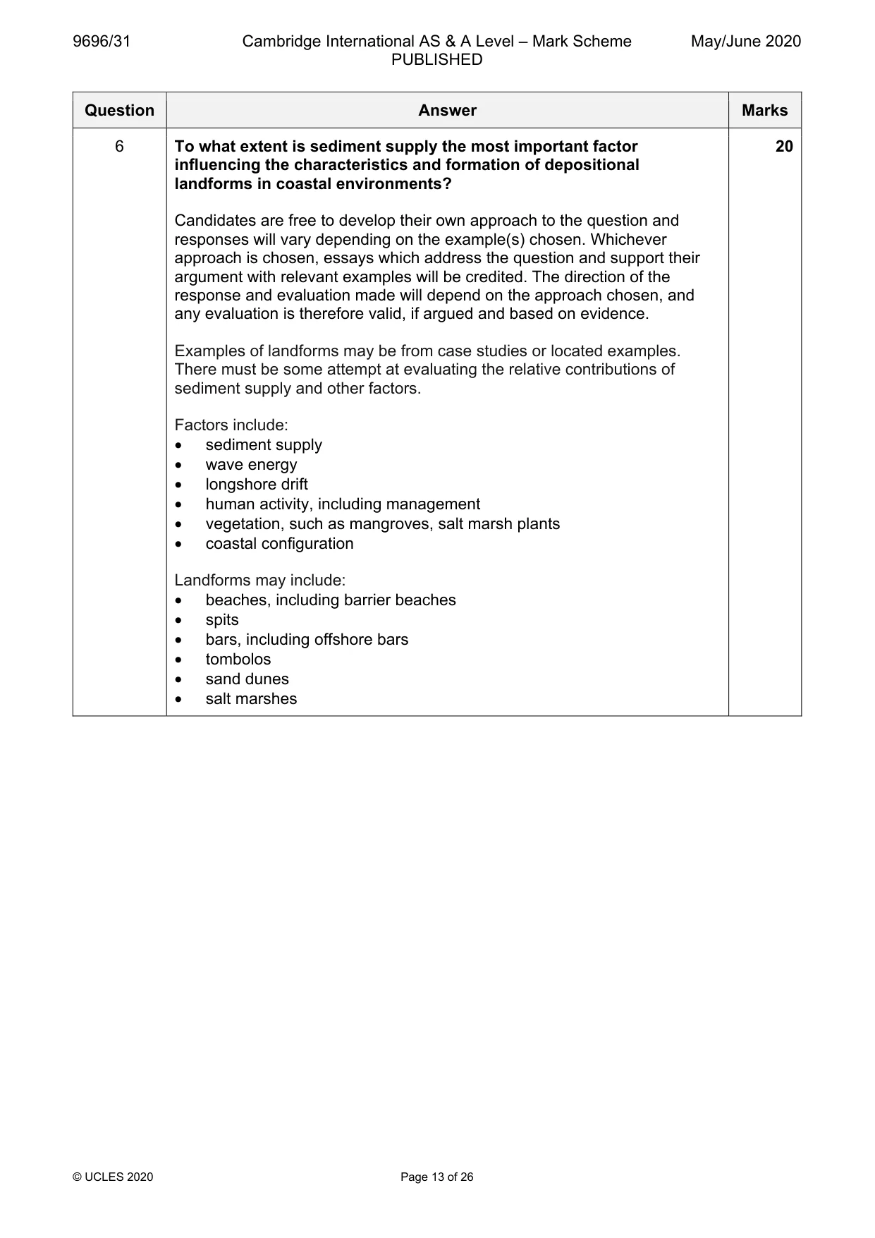
9696/31 Cambridge International AS & A Level – Mark Scheme PUBLISHED May/June 2020 © UCLES 2020 Page 13 of 26 Question Answer Marks 6 To what extent is sediment supply the most important factor influencing the characteristics and formation of depositional landforms in coastal environments? Candidates are free to develop their own approach to the question and responses will vary depending on the example(s) chosen. Whichever approach is chosen, essays which address the question and support their argument with relevant examples will be credited. The direction of the response and evaluation made will depend on the approach chosen, and any evaluation is therefore valid, if argued and based on evidence. Examples of landforms may be from case studies or located examples. There must be some attempt at evaluating the relative contributions of sediment supply and other factors. Factors include: • sediment supply • wave energy • longshore drift • human activity, including management • vegetation, such as mangroves, salt marsh plants • coastal configuration Landforms may include: • beaches, including barrier beaches • spits • bars, including offshore bars • tombolos • sand dunes • salt marshes 20
Mark scheme, page 14
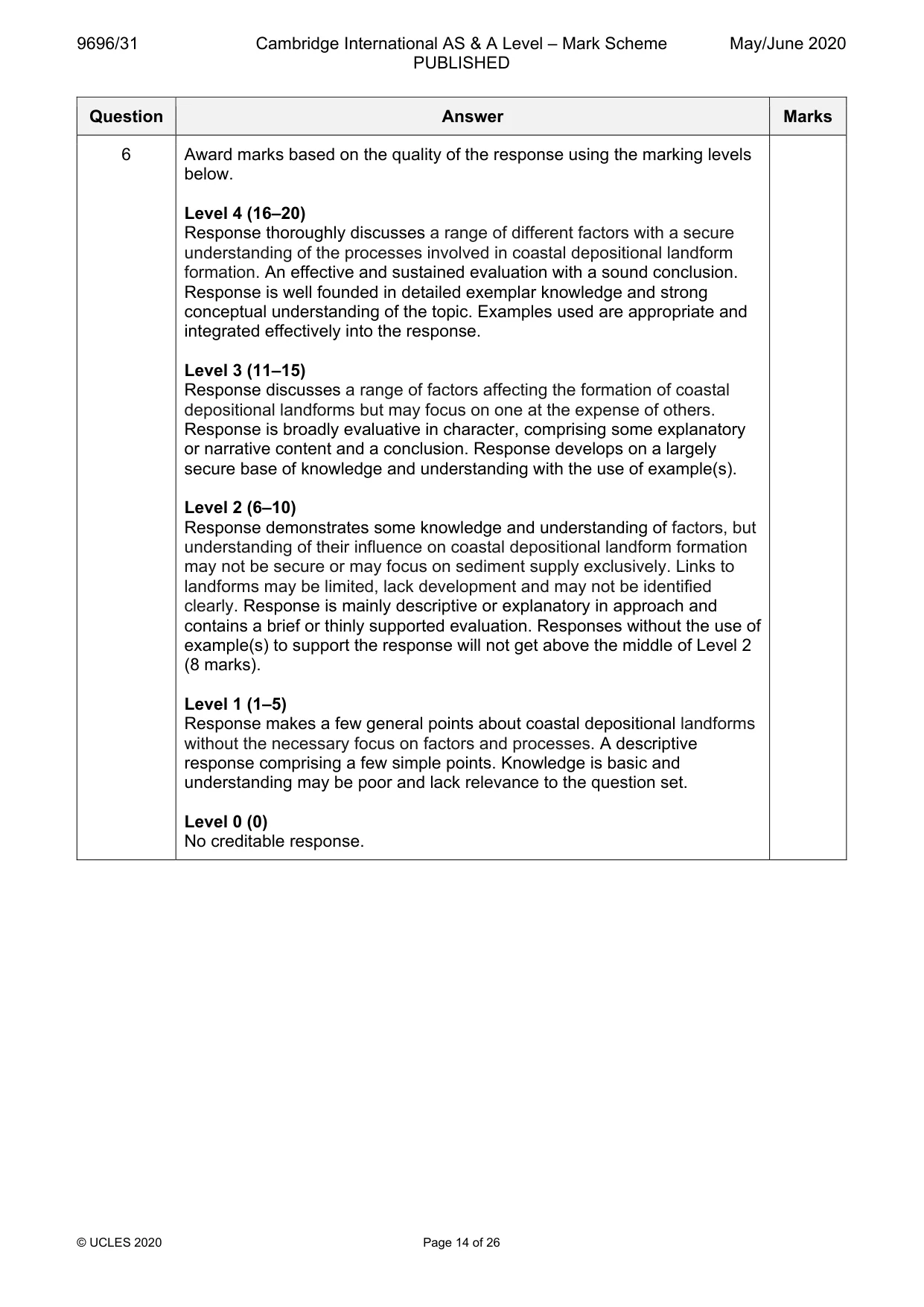
9696/31 Cambridge International AS & A Level – Mark Scheme PUBLISHED May/June 2020 © UCLES 2020 Page 14 of 26 Question Answer Marks 6 Award marks based on the quality of the response using the marking levels below. Level 4 (16–20) Response thoroughly discusses a range of different factors with a secure understanding of the processes involved in coastal depositional landform formation. An effective and sustained evaluation with a sound conclusion. Response is well founded in detailed exemplar knowledge and strong conceptual understanding of the topic. Examples used are appropriate and integrated effectively into the response. Level 3 (11–15) Response discusses a range of factors affecting the formation of coastal depositional landforms but may focus on one at the expense of others. Response is broadly evaluative in character, comprising some explanatory or narrative content and a conclusion. Response develops on a largely secure base of knowledge and understanding with the use of example(s). Level 2 (6–10) Response demonstrates some knowledge and understanding of factors, but understanding of their influence on coastal depositional landform formation may not be secure or may focus on sediment supply exclusively. Links to landforms may be limited, lack development and may not be identified clearly. Response is mainly descriptive or explanatory in approach and contains a brief or thinly supported evaluation. Responses without the use of example(s) to support the response will not get above the middle of Level 2 (8 marks). Level 1 (1–5) Response makes a few general points about coastal depositional landforms without the necessary focus on factors and processes. A descriptive response comprising a few simple points. Knowledge is basic and understanding may be poor and lack relevance to the question set. Level 0 (0) No creditable response.
Mark scheme, page 15
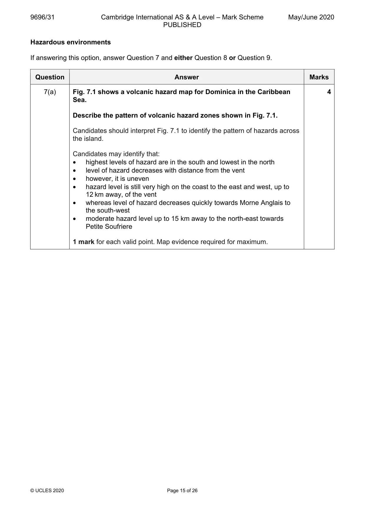
9696/31 Cambridge International AS & A Level – Mark Scheme PUBLISHED May/June 2020 © UCLES 2020 Page 15 of 26 Hazardous environments If answering this option, answer Question 7 and either Question 8 or Question 9. Question Answer Marks 7(a) Fig. 7.1 shows a volcanic hazard map for Dominica in the Caribbean Sea. Describe the pattern of volcanic hazard zones shown in Fig. 7.1. Candidates should interpret Fig. 7.1 to identify the pattern of hazards across the island. Candidates may identify that: • highest levels of hazard are in the south and lowest in the north • level of hazard decreases with distance from the vent • however, it is uneven • hazard level is still very high on the coast to the east and west, up to 12 km away, of the vent • whereas level of hazard decreases quickly towards Morne Anglais to the south-west • moderate hazard level up to 15 km away to the north-east towards Petite Soufriere 1 mark for each valid point. Map evidence required for maximum. 4
Mark scheme, page 16
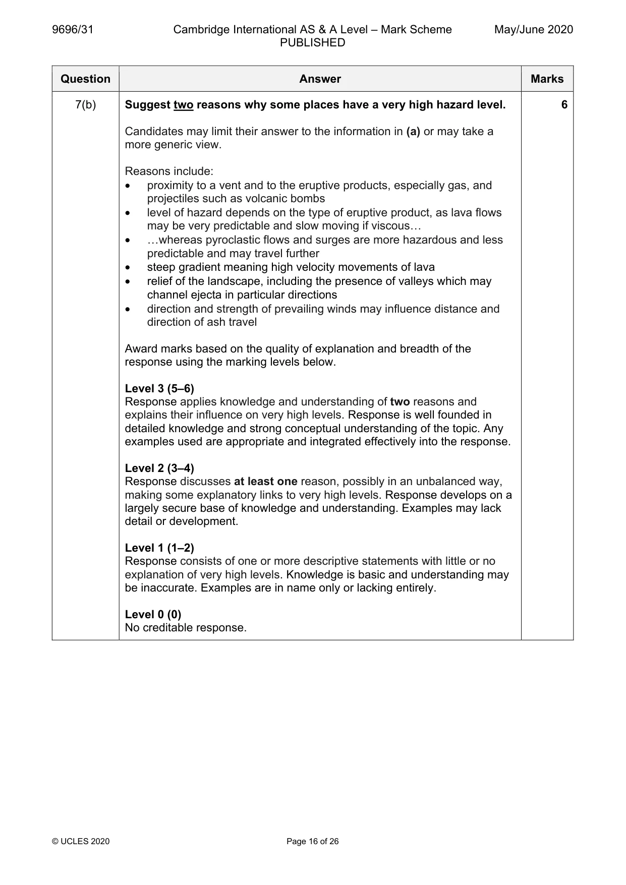
9696/31 Cambridge International AS & A Level – Mark Scheme PUBLISHED May/June 2020 © UCLES 2020 Page 16 of 26 Question Answer Marks 7(b) Suggest two reasons why some places have a very high hazard level. Candidates may limit their answer to the information in (a) or may take a more generic view. Reasons include: • proximity to a vent and to the eruptive products, especially gas, and projectiles such as volcanic bombs • level of hazard depends on the type of eruptive product, as lava flows may be very predictable and slow moving if viscous… • …whereas pyroclastic flows and surges are more hazardous and less predictable and may travel further • steep gradient meaning high velocity movements of lava • relief of the landscape, including the presence of valleys which may channel ejecta in particular directions • direction and strength of prevailing winds may influence distance and direction of ash travel Award marks based on the quality of explanation and breadth of the response using the marking levels below. Level 3 (5–6) Response applies knowledge and understanding of two reasons and explains their influence on very high levels. Response is well founded in detailed knowledge and strong conceptual understanding of the topic. Any examples used are appropriate and integrated effectively into the response. Level 2 (3–4) Response discusses at least one reason, possibly in an unbalanced way, making some explanatory links to very high levels. Response develops on a largely secure base of knowledge and understanding. Examples may lack detail or development. Level 1 (1–2) Response consists of one or more descriptive statements with little or no explanation of very high levels. Knowledge is basic and understanding may be inaccurate. Examples are in name only or lacking entirely. Level 0 (0) No creditable response. 6
Mark scheme, page 17
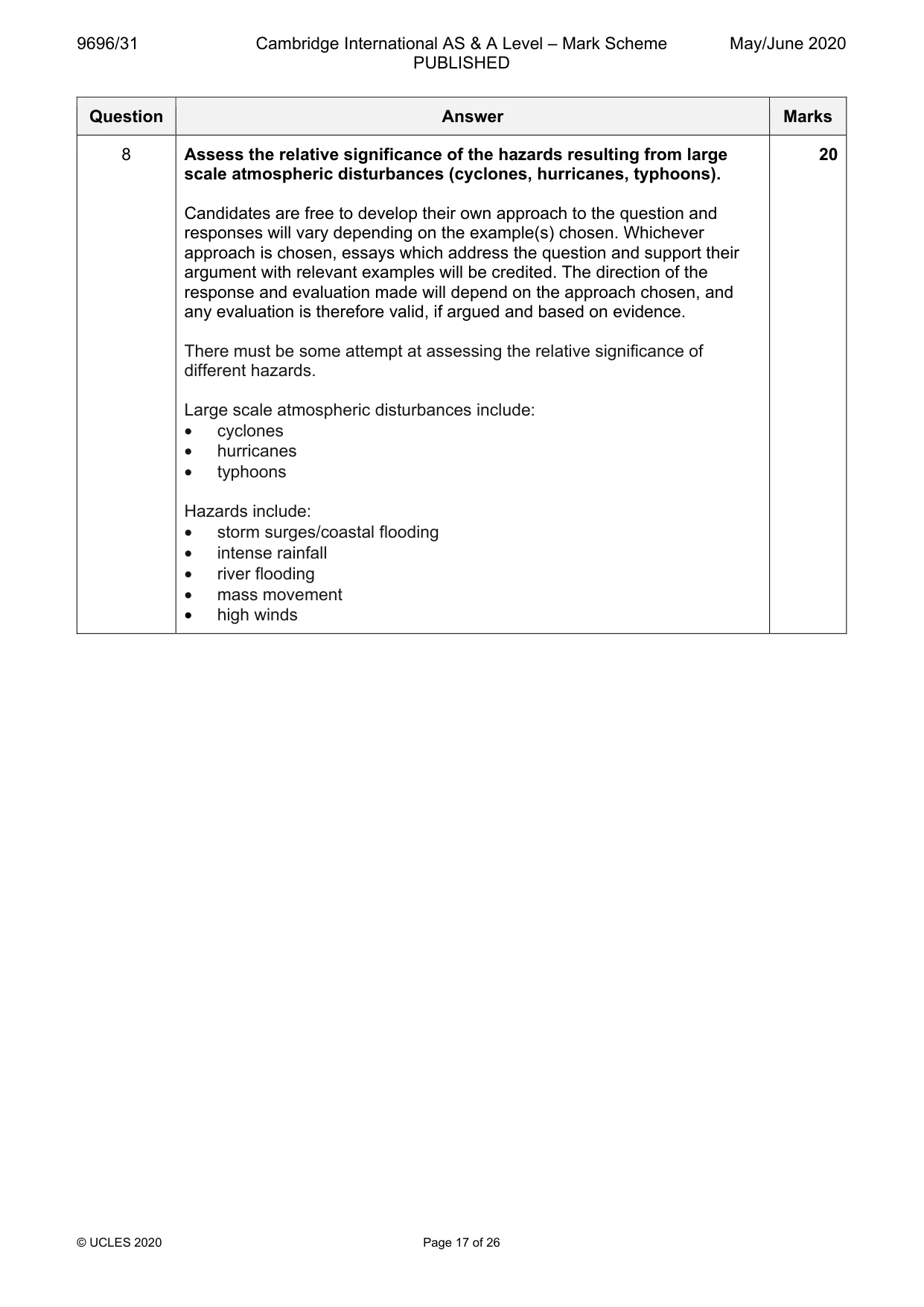
9696/31 Cambridge International AS & A Level – Mark Scheme PUBLISHED May/June 2020 © UCLES 2020 Page 17 of 26 Question Answer Marks 8 Assess the relative significance of the hazards resulting from large scale atmospheric disturbances (cyclones, hurricanes, typhoons). Candidates are free to develop their own approach to the question and responses will vary depending on the example(s) chosen. Whichever approach is chosen, essays which address the question and support their argument with relevant examples will be credited. The direction of the response and evaluation made will depend on the approach chosen, and any evaluation is therefore valid, if argued and based on evidence. There must be some attempt at assessing the relative significance of different hazards. Large scale atmospheric disturbances include: • cyclones • hurricanes • typhoons Hazards include: • storm surges/coastal flooding • intense rainfall • river flooding • mass movement • high winds 20
Mark scheme, page 18
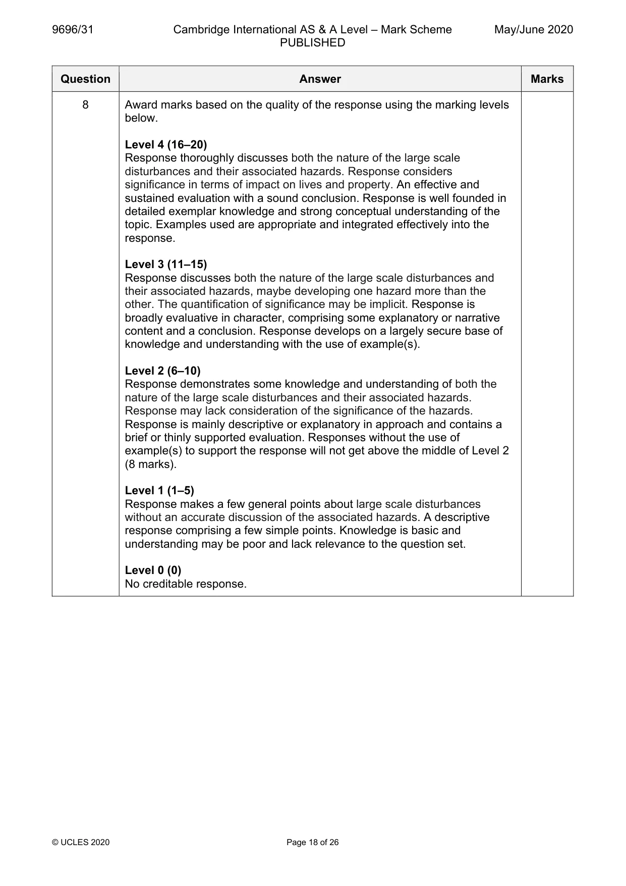
9696/31 Cambridge International AS & A Level – Mark Scheme PUBLISHED May/June 2020 © UCLES 2020 Page 18 of 26 Question Answer Marks 8 Award marks based on the quality of the response using the marking levels below. Level 4 (16–20) Response thoroughly discusses both the nature of the large scale disturbances and their associated hazards. Response considers significance in terms of impact on lives and property. An effective and sustained evaluation with a sound conclusion. Response is well founded in detailed exemplar knowledge and strong conceptual understanding of the topic. Examples used are appropriate and integrated effectively into the response. Level 3 (11–15) Response discusses both the nature of the large scale disturbances and their associated hazards, maybe developing one hazard more than the other. The quantification of significance may be implicit. Response is broadly evaluative in character, comprising some explanatory or narrative content and a conclusion. Response develops on a largely secure base of knowledge and understanding with the use of example(s). Level 2 (6–10) Response demonstrates some knowledge and understanding of both the nature of the large scale disturbances and their associated hazards. Response may lack consideration of the significance of the hazards. Response is mainly descriptive or explanatory in approach and contains a brief or thinly supported evaluation. Responses without the use of example(s) to support the response will not get above the middle of Level 2 (8 marks). Level 1 (1–5) Response makes a few general points about large scale disturbances without an accurate discussion of the associated hazards. A descriptive response comprising a few simple points. Knowledge is basic and understanding may be poor and lack relevance to the question set. Level 0 (0) No creditable response.
Mark scheme, page 19
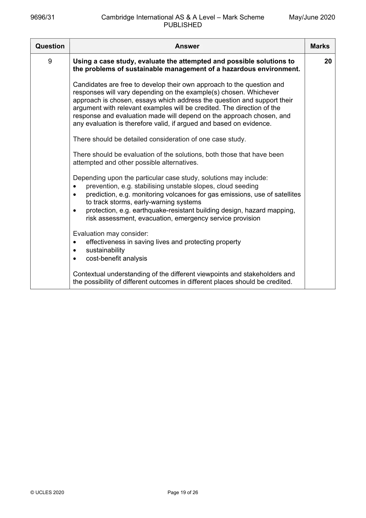
9696/31 Cambridge International AS & A Level – Mark Scheme PUBLISHED May/June 2020 © UCLES 2020 Page 19 of 26 Question Answer Marks 9 Using a case study, evaluate the attempted and possible solutions to the problems of sustainable management of a hazardous environment. Candidates are free to develop their own approach to the question and responses will vary depending on the example(s) chosen. Whichever approach is chosen, essays which address the question and support their argument with relevant examples will be credited. The direction of the response and evaluation made will depend on the approach chosen, and any evaluation is therefore valid, if argued and based on evidence. There should be detailed consideration of one case study. There should be evaluation of the solutions, both those that have been attempted and other possible alternatives. Depending upon the particular case study, solutions may include: • prevention, e.g. stabilising unstable slopes, cloud seeding • prediction, e.g. monitoring volcanoes for gas emissions, use of satellites to track storms, early-warning systems • protection, e.g. earthquake-resistant building design, hazard mapping, risk assessment, evacuation, emergency service provision Evaluation may consider: • effectiveness in saving lives and protecting property • sustainability • cost-benefit analysis Contextual understanding of the different viewpoints and stakeholders and the possibility of different outcomes in different places should be credited. 20
Mark scheme, page 20
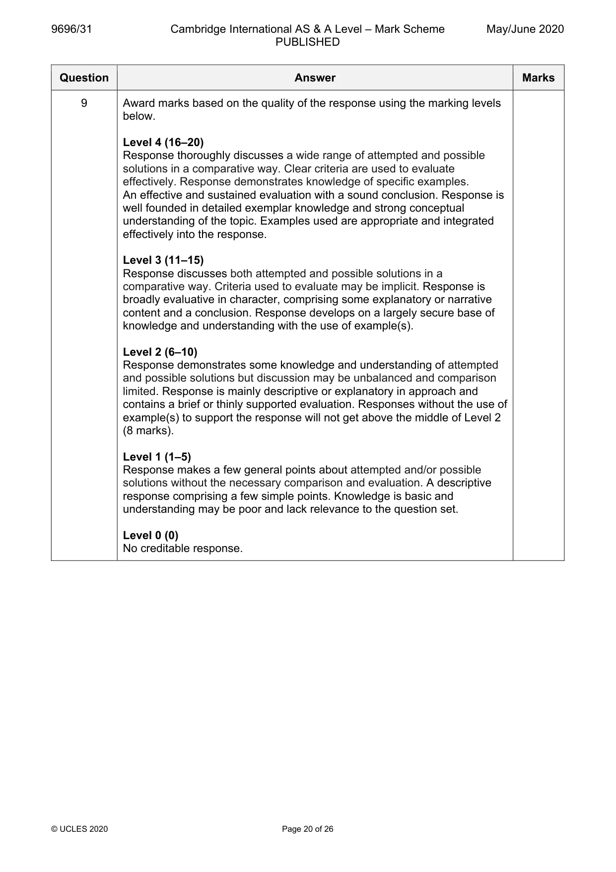
9696/31 Cambridge International AS & A Level – Mark Scheme PUBLISHED May/June 2020 © UCLES 2020 Page 20 of 26 Question Answer Marks 9 Award marks based on the quality of the response using the marking levels below. Level 4 (16–20) Response thoroughly discusses a wide range of attempted and possible solutions in a comparative way. Clear criteria are used to evaluate effectively. Response demonstrates knowledge of specific examples. An effective and sustained evaluation with a sound conclusion. Response is well founded in detailed exemplar knowledge and strong conceptual understanding of the topic. Examples used are appropriate and integrated effectively into the response. Level 3 (11–15) Response discusses both attempted and possible solutions in a comparative way. Criteria used to evaluate may be implicit. Response is broadly evaluative in character, comprising some explanatory or narrative content and a conclusion. Response develops on a largely secure base of knowledge and understanding with the use of example(s). Level 2 (6–10) Response demonstrates some knowledge and understanding of attempted and possible solutions but discussion may be unbalanced and comparison limited. Response is mainly descriptive or explanatory in approach and contains a brief or thinly supported evaluation. Responses without the use of example(s) to support the response will not get above the middle of Level 2 (8 marks). Level 1 (1–5) Response makes a few general points about attempted and/or possible solutions without the necessary comparison and evaluation. A descriptive response comprising a few simple points. Knowledge is basic and understanding may be poor and lack relevance to the question set. Level 0 (0) No creditable response.
Mark scheme, page 21
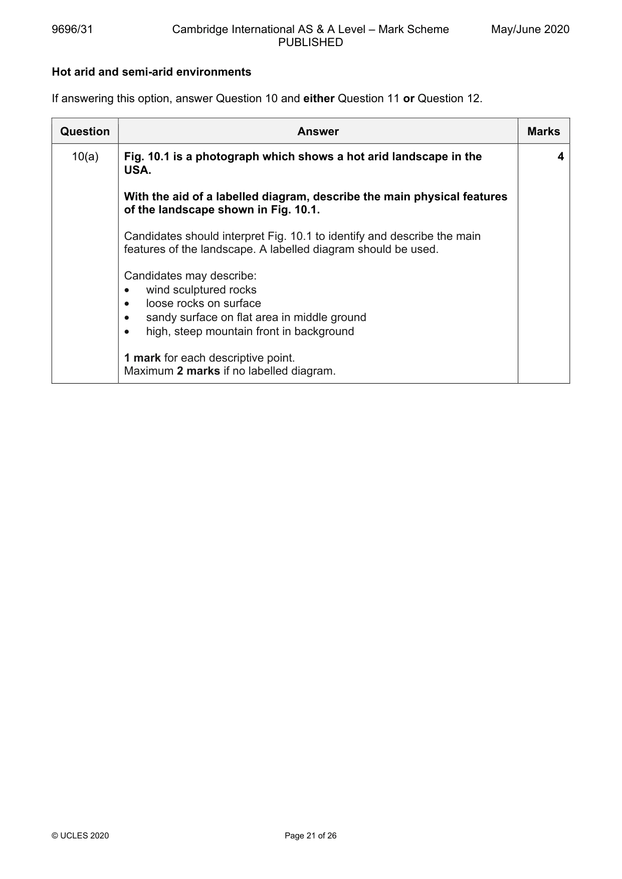
9696/31 Cambridge International AS & A Level – Mark Scheme PUBLISHED May/June 2020 © UCLES 2020 Page 21 of 26 Hot arid and semi-arid environments If answering this option, answer Question 10 and either Question 11 or Question 12. Question Answer Marks 10(a) Fig. 10.1 is a photograph which shows a hot arid landscape in the USA. With the aid of a labelled diagram, describe the main physical features of the landscape shown in Fig. 10.1. Candidates should interpret Fig. 10.1 to identify and describe the main features of the landscape. A labelled diagram should be used. Candidates may describe: • wind sculptured rocks • loose rocks on surface • sandy surface on flat area in middle ground • high, steep mountain front in background 1 mark for each descriptive point. Maximum 2 marks if no labelled diagram. 4
Mark scheme, page 22
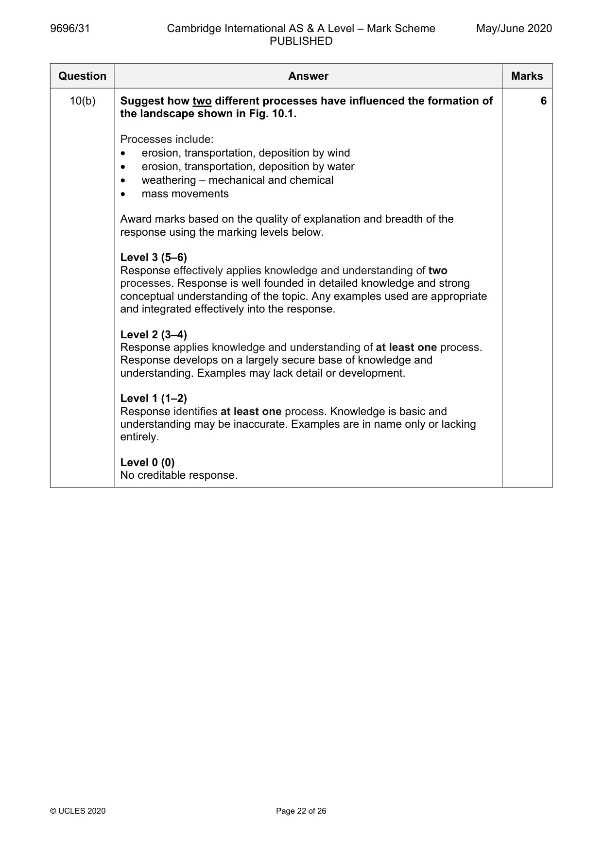
9696/31 Cambridge International AS & A Level – Mark Scheme PUBLISHED May/June 2020 © UCLES 2020 Page 22 of 26 Question Answer Marks 10(b) Suggest how two different processes have influenced the formation of the landscape shown in Fig. 10.1. Processes include: • erosion, transportation, deposition by wind • erosion, transportation, deposition by water • weathering – mechanical and chemical • mass movements Award marks based on the quality of explanation and breadth of the response using the marking levels below. Level 3 (5–6) Response effectively applies knowledge and understanding of two processes. Response is well founded in detailed knowledge and strong conceptual understanding of the topic. Any examples used are appropriate and integrated effectively into the response. Level 2 (3–4) Response applies knowledge and understanding of at least one process. Response develops on a largely secure base of knowledge and understanding. Examples may lack detail or development. Level 1 (1–2) Response identifies at least one process. Knowledge is basic and understanding may be inaccurate. Examples are in name only or lacking entirely. Level 0 (0) No creditable response. 6
Mark scheme, page 23
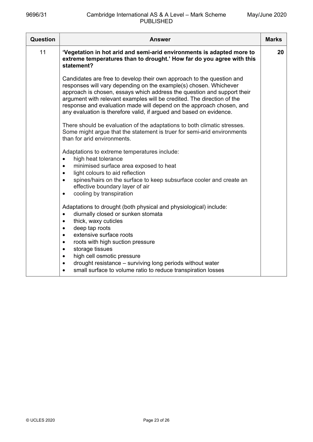
9696/31 Cambridge International AS & A Level – Mark Scheme PUBLISHED May/June 2020 © UCLES 2020 Page 23 of 26 Question Answer Marks 11 ‘Vegetation in hot arid and semi-arid environments is adapted more to extreme temperatures than to drought.’ How far do you agree with this statement? Candidates are free to develop their own approach to the question and responses will vary depending on the example(s) chosen. Whichever approach is chosen, essays which address the question and support their argument with relevant examples will be credited. The direction of the response and evaluation made will depend on the approach chosen, and any evaluation is therefore valid, if argued and based on evidence. There should be evaluation of the adaptations to both climatic stresses. Some might argue that the statement is truer for semi-arid environments than for arid environments. Adaptations to extreme temperatures include: • high heat tolerance • minimised surface area exposed to heat • light colours to aid reflection • spines/hairs on the surface to keep subsurface cooler and create an effective boundary layer of air • cooling by transpiration Adaptations to drought (both physical and physiological) include: • diurnally closed or sunken stomata • thick, waxy cuticles • deep tap roots • extensive surface roots • roots with high suction pressure • storage tissues • high cell osmotic pressure • drought resistance – surviving long periods without water • small surface to volume ratio to reduce transpiration losses 20
Mark scheme, page 24
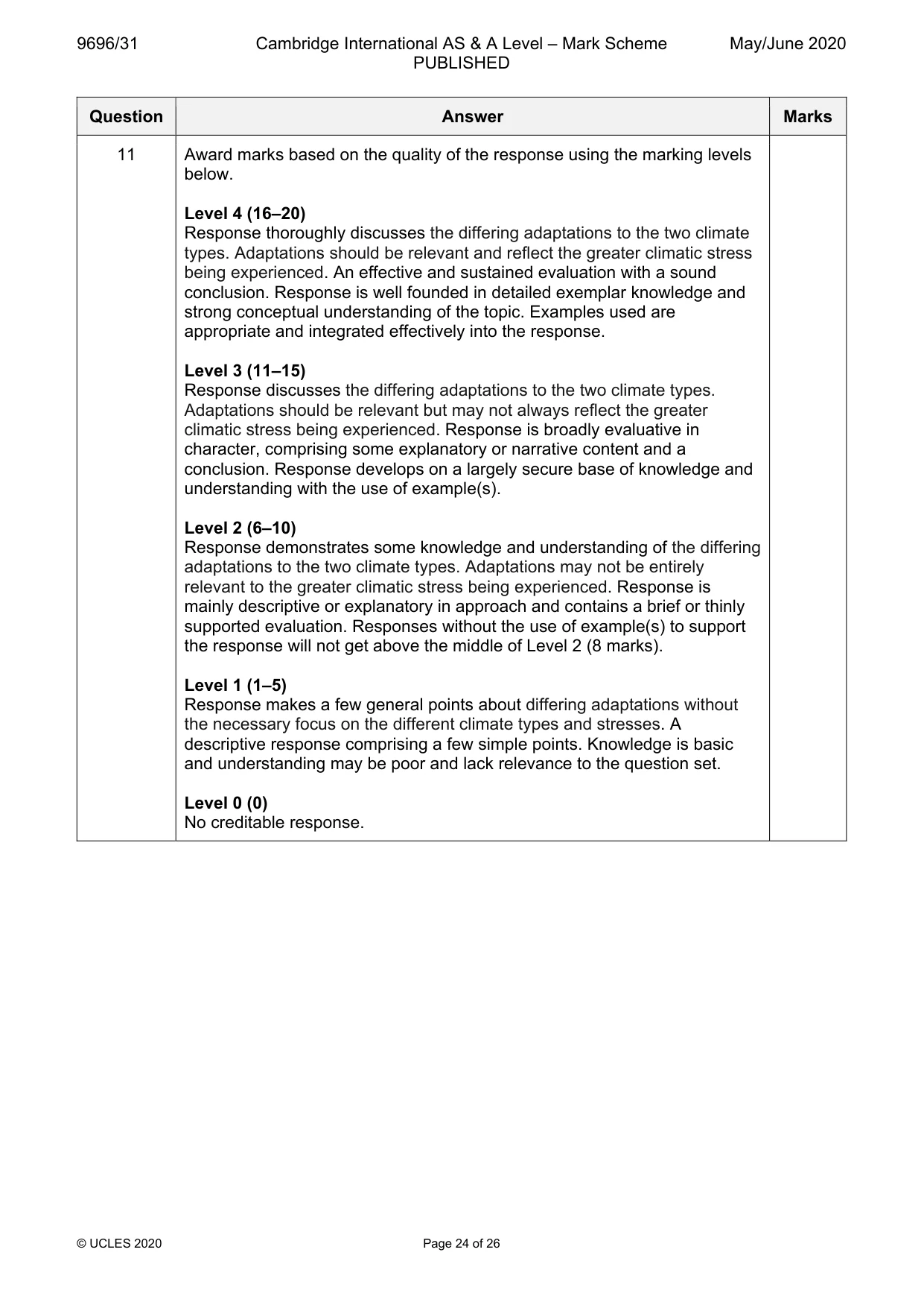
9696/31 Cambridge International AS & A Level – Mark Scheme PUBLISHED May/June 2020 © UCLES 2020 Page 24 of 26 Question Answer Marks 11 Award marks based on the quality of the response using the marking levels below. Level 4 (16–20) Response thoroughly discusses the differing adaptations to the two climate types. Adaptations should be relevant and reflect the greater climatic stress being experienced. An effective and sustained evaluation with a sound conclusion. Response is well founded in detailed exemplar knowledge and strong conceptual understanding of the topic. Examples used are appropriate and integrated effectively into the response. Level 3 (11–15) Response discusses the differing adaptations to the two climate types. Adaptations should be relevant but may not always reflect the greater climatic stress being experienced. Response is broadly evaluative in character, comprising some explanatory or narrative content and a conclusion. Response develops on a largely secure base of knowledge and understanding with the use of example(s). Level 2 (6–10) Response demonstrates some knowledge and understanding of the differing adaptations to the two climate types. Adaptations may not be entirely relevant to the greater climatic stress being experienced. Response is mainly descriptive or explanatory in approach and contains a brief or thinly supported evaluation. Responses without the use of example(s) to support the response will not get above the middle of Level 2 (8 marks). Level 1 (1–5) Response makes a few general points about differing adaptations without the necessary focus on the different climate types and stresses. A descriptive response comprising a few simple points. Knowledge is basic and understanding may be poor and lack relevance to the question set. Level 0 (0) No creditable response.
Mark scheme, page 25
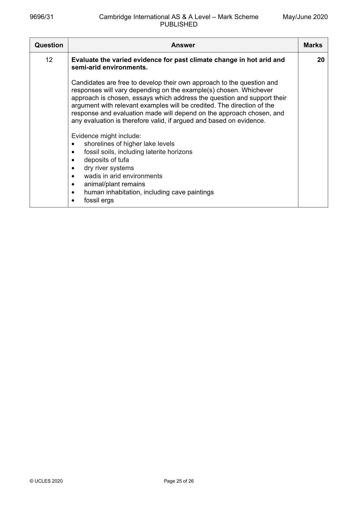
9696/31 Cambridge International AS & A Level – Mark Scheme PUBLISHED May/June 2020 © UCLES 2020 Page 25 of 26 Question Answer Marks 12 Evaluate the varied evidence for past climate change in hot arid and semi-arid environments. Candidates are free to develop their own approach to the question and responses will vary depending on the example(s) chosen. Whichever approach is chosen, essays which address the question and support their argument with relevant examples will be credited. The direction of the response and evaluation made will depend on the approach chosen, and any evaluation is therefore valid, if argued and based on evidence. Evidence might include: • shorelines of higher lake levels • fossil soils, including laterite horizons • deposits of tufa • dry river systems • wadis in arid environments • animal/plant remains • human inhabitation, including cave paintings • fossil ergs 20
Mark scheme, page 26
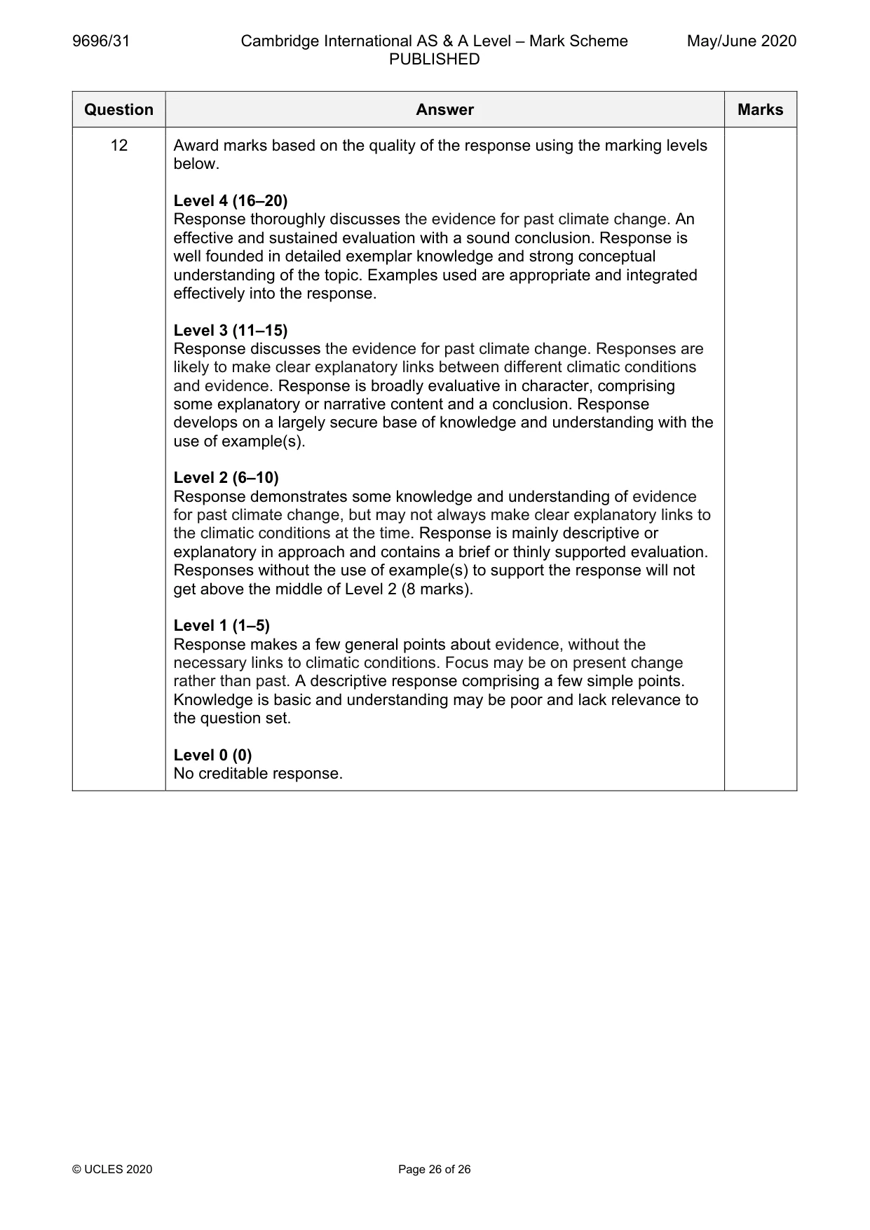
9696/31 Cambridge International AS & A Level – Mark Scheme PUBLISHED May/June 2020 © UCLES 2020 Page 26 of 26 Question Answer Marks 12 Award marks based on the quality of the response using the marking levels below. Level 4 (16–20) Response thoroughly discusses the evidence for past climate change. An effective and sustained evaluation with a sound conclusion. Response is well founded in detailed exemplar knowledge and strong conceptual understanding of the topic. Examples used are appropriate and integrated effectively into the response. Level 3 (11–15) Response discusses the evidence for past climate change. Responses are likely to make clear explanatory links between different climatic conditions and evidence. Response is broadly evaluative in character, comprising some explanatory or narrative content and a conclusion. Response develops on a largely secure base of knowledge and understanding with the use of example(s). Level 2 (6–10) Response demonstrates some knowledge and understanding of evidence for past climate change, but may not always make clear explanatory links to the climatic conditions at the time. Response is mainly descriptive or explanatory in approach and contains a brief or thinly supported evaluation. Responses without the use of example(s) to support the response will not get above the middle of Level 2 (8 marks). Level 1 (1–5) Response makes a few general points about evidence, without the necessary links to climatic conditions. Focus may be on present change rather than past. A descriptive response comprising a few simple points. Knowledge is basic and understanding may be poor and lack relevance to the question set. Level 0 (0) No creditable response.