Cambridge A Level Geography 9696 — 2020 May/June Paper 3 · Variant 2
9696/32/M/J/20 · 12 questions · 200 marks · ≈225 min
The question paper and its mark scheme, free to read here and free to download. This is Cambridge’s own paper, exactly as it was sat.
Question paper4 pages

Mark scheme26 pages
Answers below. Sit the paper first if you are practising.












Questions as text
Q1 · A photograph which shows seasonally humid tropical (savanna) vegetation in Africa
1 Fig. 1.1 is a photograph which shows seasonally humid tropical (savanna) vegetation in Africa. (a) Using evidence from Fig. 1.1, describe the main features of the savanna vegetation shown. [4] (b) Suggest reasons for two of the features you described in (a). [6]
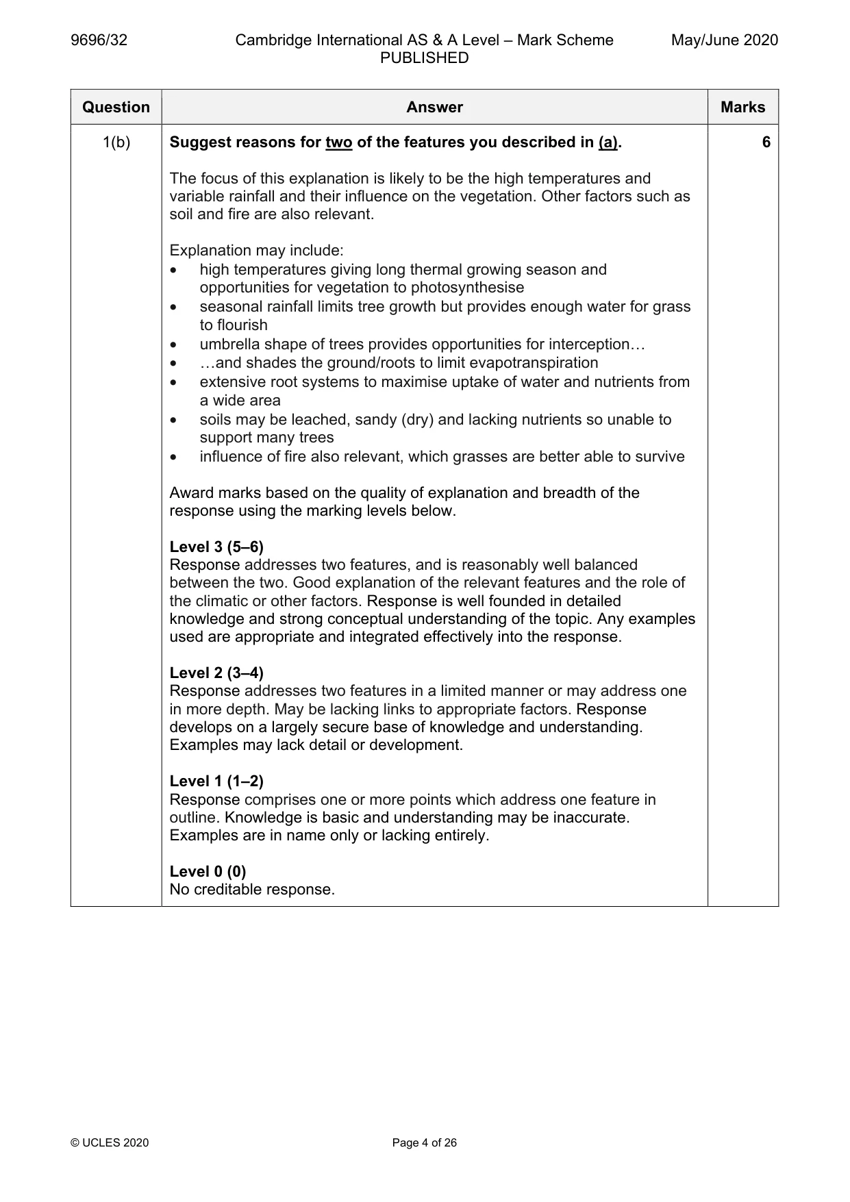
Mark scheme: Question Answer Marks 1(a) Fig. 1.1 is a photograph which shows seasonally humid tropical 4 (savanna) vegetation in Africa. Using evidence from Fig. 1.1, describe the main features of the savanna vegetation shown. Candidates should interpret the photograph to recognise and describe the main features of the vegetation. Features of the vegetation may include: • limited density of trees (acacia) • trees have umbrella shape • branchless trunks • extensive grass cover • some small bushes/shrubs Note: No credit for reference to features not visible, such as extensive root systems. 1 mark for each relevant feature with a further mark available for development up to the maximum. 1(b) Suggest reasons for two of the features you described in (a). 6 The focus of this explanation is likely to be the high temperatures and variable rainfall and their influence on the vegetation. Other factors such as soil and fire are also relevant. Explanation may include: • high temperatures giving long thermal growing season and opportunities for vegetation to photosynthesise • seasonal rainfall limits tree growth but provides enough water for grass to flourish • umbrella shape of trees provides opportunities for interception… • …and shades the ground/roots to limit evapotranspiration • extensive root systems to maximise uptake of water and nutrients from a wide area • soils may be leached, sandy (dry) and lacking nutrients so unable to support many trees • influence of fire also relevant, which grasses are better able to survive Award marks based on the quality of explanation and breadth of the response using the marking levels below. Level 3 (5–6) Response addresses two features, and is reasonably well balanced between the two. Good explanation of the relevant features and the role of the climatic or other factors. Response is well founded in detailed knowledge and strong conceptual understanding of the topic. Any examples used are appropriate and integrated effectively into the response. Level 2 (3–4) Response addresses two features in a limited manner or may address one in more depth. May be lacking links to appropriate factors. Response develops on a largely secure base of knowledge and understanding. Examples may lack detail or development. Level 1 (1–2) Response comprises one or more points which address one feature in outline. Knowledge is basic and understanding may be inaccurate. Examples are in name only or lacking entirely. Level 0 (0) No creditable response.
Q2 · Assess the extent to which humid tropical climates and seasonally humid tropical climates…
2 Assess the extent to which humid tropical climates and seasonally humid tropical climates are influenced by the position of the intertropical convergence zone (ITCZ). [20]
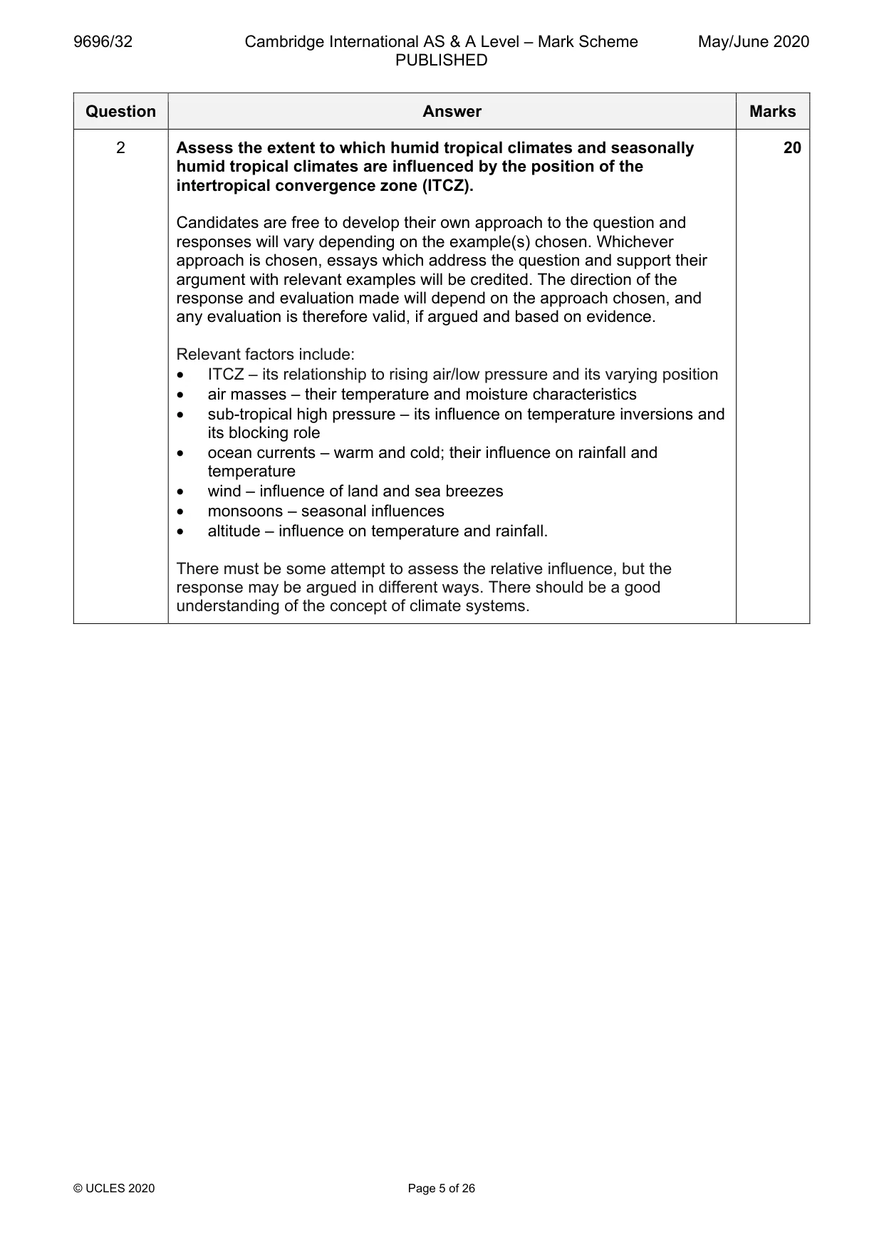
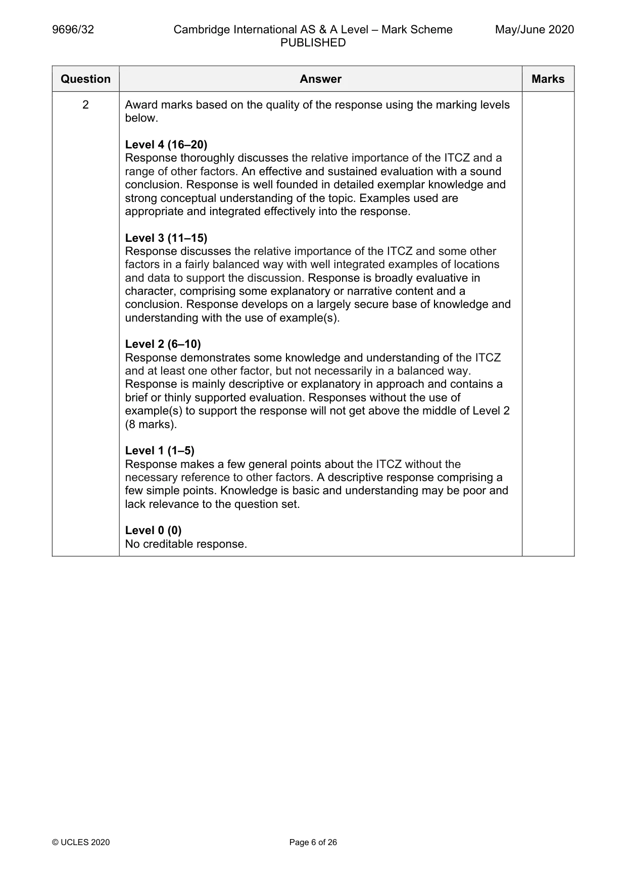
Mark scheme: 2 Assess the extent to which humid tropical climates and seasonally 20 humid tropical climates are influenced by the position of the intertropical convergence zone (ITCZ). Candidates are free to develop their own approach to the question and responses will vary depending on the example(s) chosen. Whichever approach is chosen, essays which address the question and support their argument with relevant examples will be credited. The direction of the response and evaluation made will depend on the approach chosen, and any evaluation is therefore valid, if argued and based on evidence. Relevant factors include: • ITCZ – its relationship to rising air/low pressure and its varying position • air masses – their temperature and moisture characteristics • sub-tropical high pressure – its influence on temperature inversions and its blocking role • ocean currents – warm and cold; their influence on rainfall and temperature • wind – influence of land and sea breezes • monsoons – seasonal influences • altitude – influence on temperature and rainfall. There must be some attempt to assess the relative influence, but the response may be argued in different ways. There should be a good understanding of the concept of climate systems. 2 Award marks based on the quality of the response using the marking levels below. Level 4 (16–20) Response thoroughly discusses the relative importance of the ITCZ and a range of other factors. An effective and sustained evaluation with a sound conclusion. Response is well founded in detailed exemplar knowledge and strong conceptual understanding of the topic. Examples used are appropriate and integrated effectively into the response. Level 3 (11–15) Response discusses the relative importance of the ITCZ and some other factors in a fairly balanced way with well integrated examples of locations and data to support the discussion. Response is broadly evaluative in character, comprising some explanatory or narrative content and a conclusion. Response develops on a largely secure base of knowledge and understanding with the use of example(s). Level 2 (6–10) Response demonstrates some knowledge and understanding of the ITCZ and at least one other factor, but not necessarily in a balanced way. Response is mainly descriptive or explanatory in approach and contains a brief or thinly supported evaluation. Responses without the use of example(s) to support the response will not get above the middle of Level 2 (8 marks). Level 1 (1–5) Response makes a few general points about the ITCZ without the necessary reference to other factors. A descriptive response comprising a few simple points. Knowledge is basic and understanding may be poor and lack relevance to the question set. Level 0 (0) No creditable response.
Q3 · ‘Cockpit karst and tower karst are formed in different conditions.’ With the aid of…
3 ‘Cockpit karst and tower karst are formed in different conditions.’ With the aid of examples, how far do you agree? [20] Coastal environments If answering this option, answer Question 4 and either Question 5 or Question 6.
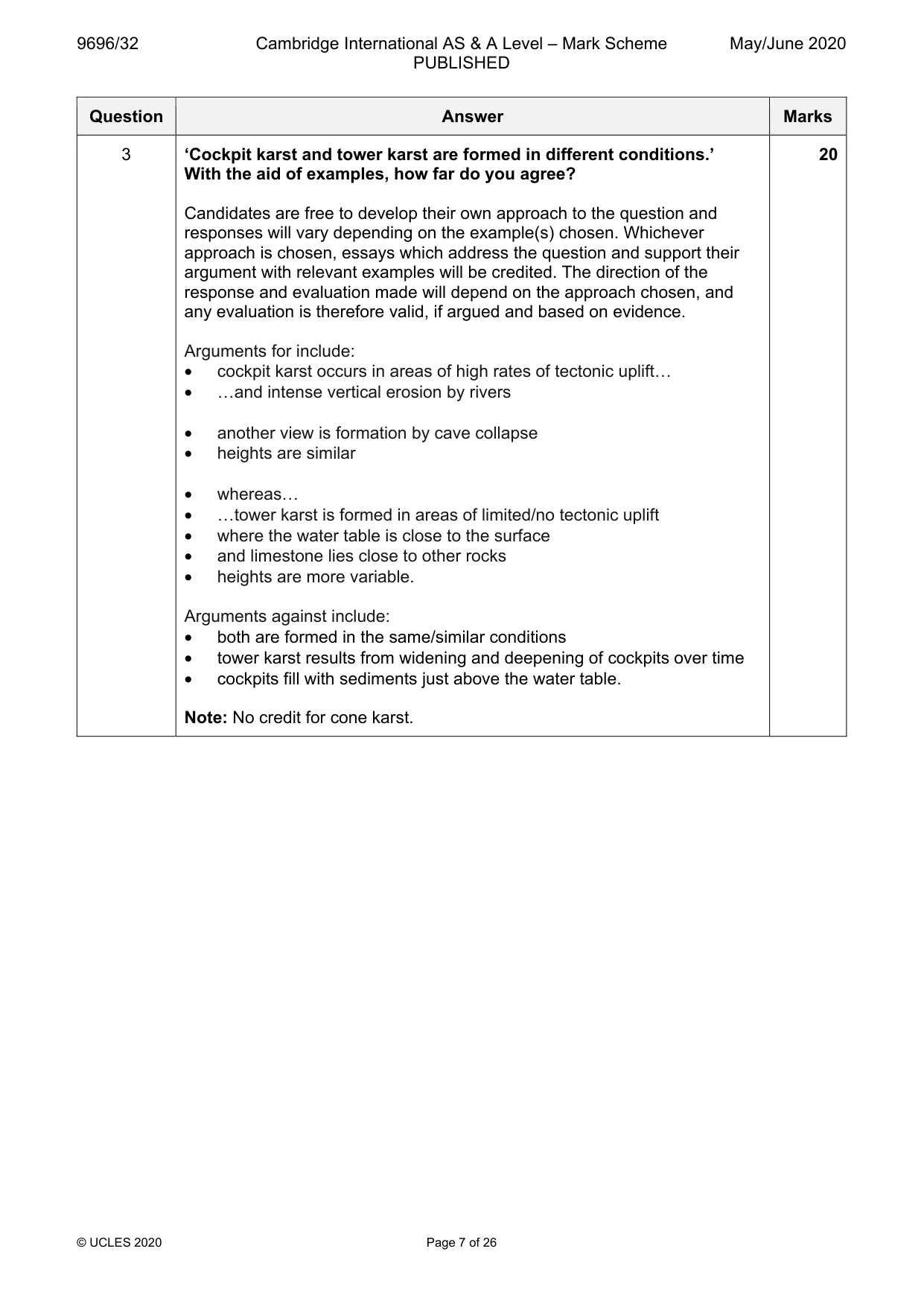
Mark scheme: 3 ‘Cockpit karst and tower karst are formed in different conditions.’ 20 With the aid of examples, how far do you agree? Candidates are free to develop their own approach to the question and responses will vary depending on the example(s) chosen. Whichever approach is chosen, essays which address the question and support their argument with relevant examples will be credited. The direction of the response and evaluation made will depend on the approach chosen, and any evaluation is therefore valid, if argued and based on evidence. Arguments for include: • cockpit karst occurs in areas of high rates of tectonic uplift… • …and intense vertical erosion by rivers • another view is formation by cave collapse • heights are similar • whereas… • …tower karst is formed in areas of limited/no tectonic uplift • where the water table is close to the surface • and limestone lies close to other rocks • heights are more variable. Arguments against include: • both are formed in the same/similar conditions • tower karst results from widening and deepening of cockpits over time • cockpits fill with sediments just above the water table. Note: No credit for cone karst. 3 Award marks based on the quality of the response using the marking levels below. Level 4 (16–20) Response thoroughly discusses the contrasting landforms and evaluates their relative formation. An effective and sustained evaluation with a sound conclusion. Response is well founded in detailed exemplar knowledge and strong conceptual understanding of the topic. Examples used are appropriate and integrated effectively into the response. Level 3 (11–15) Response discusses the contrasting landforms and evaluates their relative formation. Response is broadly evaluative in character, comprising some explanatory or narrative content and a conclusion. Response develops on a largely secure base of knowledge and understanding with the use of example(s). Level 2 (6–10) Response demonstrates some knowledge and understanding of the contrasting landforms. Evaluation of their relative formation may be undeveloped or lacking. Response is mainly descriptive or explanatory in approach and contains a brief or thinly supported evaluation. Responses without the use of example(s) to support the response will not get above the middle of Level 2 (8 marks). Level 1 (1–5) Response makes a few general points about karst without the necessary focus on the contrasting views. A descriptive response comprising a few simple points. Knowledge is basic and understanding may be poor and lack relevance to the question set. Level 0 (0) No creditable response. Coastal environments If answering this option, answer Question 4 and either Question 5 or Question 6.
Q4 · Summer and winter beach profiles at a location in the USA
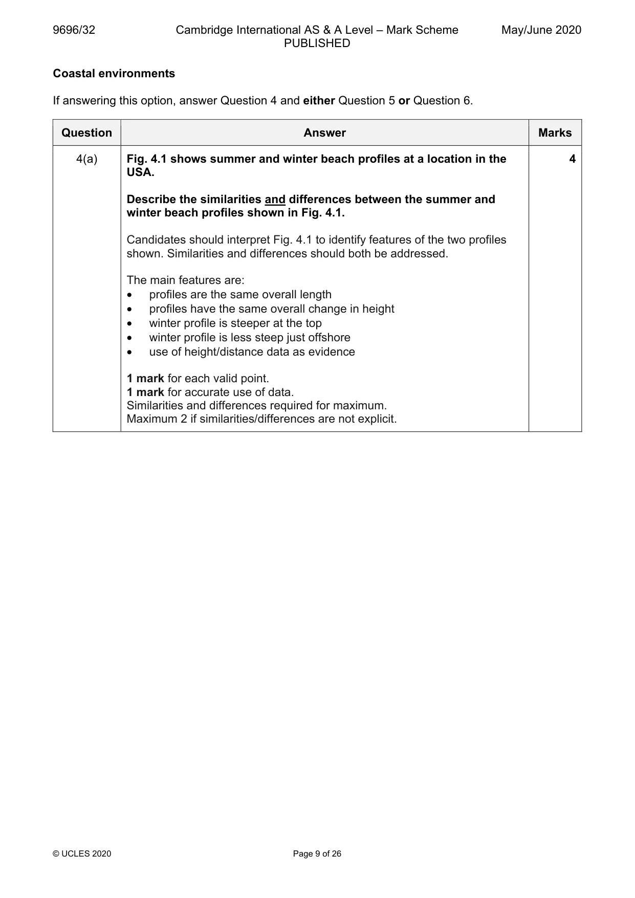
4 Fig. 4.1 shows summer and winter beach profiles at a location in the USA. (a) Describe the similarities and differences between the summer and winter beach profiles shown in Fig. 4.1. [4] (b) Suggest reasons for the differences you described in (a). [6]
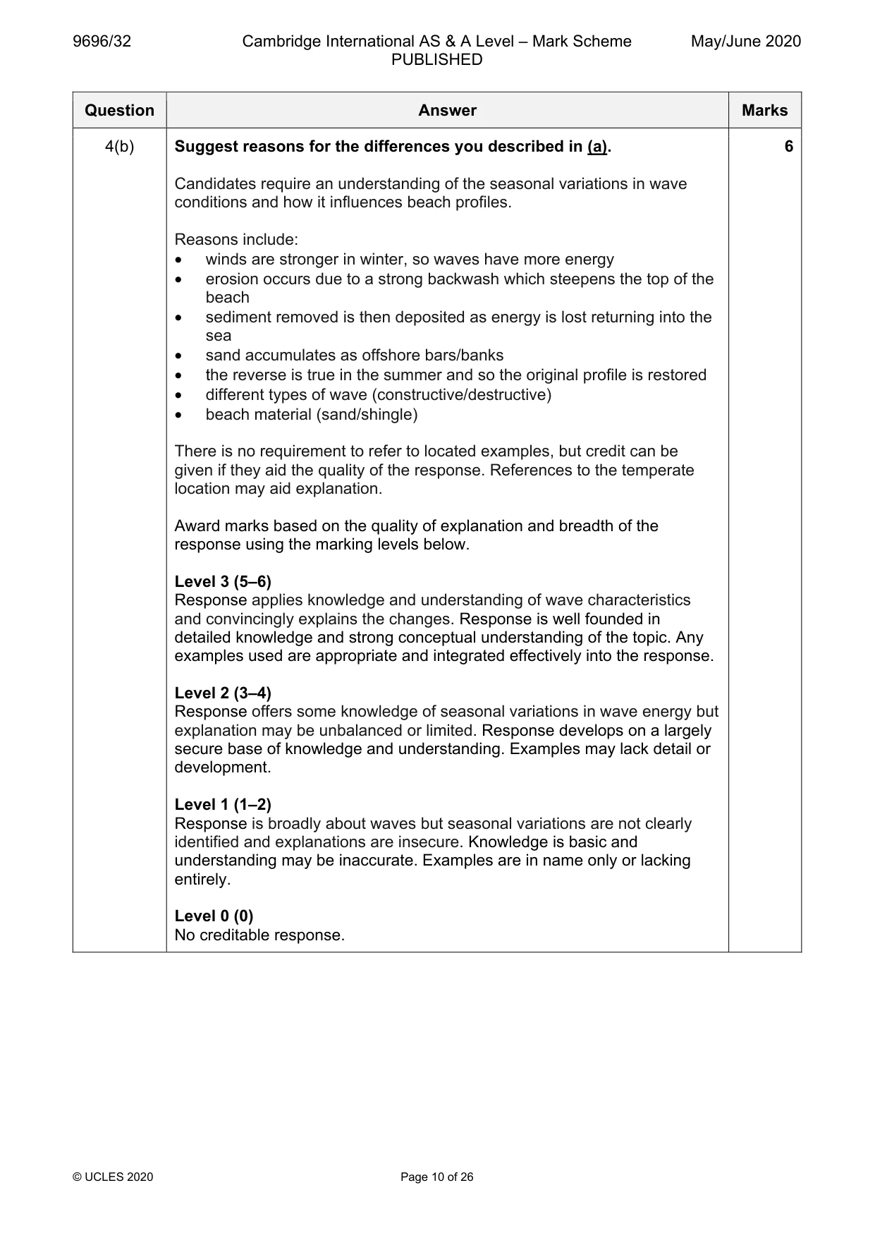
Mark scheme: 4(a) Fig. 4.1 shows summer and winter beach profiles at a location in the 4 USA. Describe the similarities and differences between the summer and winter beach profiles shown in Fig. 4.1. Candidates should interpret Fig. 4.1 to identify features of the two profiles shown. Similarities and differences should both be addressed. The main features are: • profiles are the same overall length • profiles have the same overall change in height • winter profile is steeper at the top • winter profile is less steep just offshore • use of height/distance data as evidence 1 mark for each valid point. 1 mark for accurate use of data. Similarities and differences required for maximum. Maximum 2 if similarities/differences are not explicit. 4(b) Suggest reasons for the differences you described in (a). 6 Candidates require an understanding of the seasonal variations in wave conditions and how it influences beach profiles. Reasons include: • winds are stronger in winter, so waves have more energy • erosion occurs due to a strong backwash which steepens the top of the beach • sediment removed is then deposited as energy is lost returning into the sea • sand accumulates as offshore bars/banks • the reverse is true in the summer and so the original profile is restored • different types of wave (constructive/destructive) • beach material (sand/shingle) There is no requirement to refer to located examples, but credit can be given if they aid the quality of the response. References to the temperate location may aid explanation. Award marks based on the quality of explanation and breadth of the response using the marking levels below. Level 3 (5–6) Response applies knowledge and understanding of wave characteristics and convincingly explains the changes. Response is well founded in detailed knowledge and strong conceptual understanding of the topic. Any examples used are appropriate and integrated effectively into the response. Level 2 (3–4) Response offers some knowledge of seasonal variations in wave energy but explanation may be unbalanced or limited. Response develops on a largely secure base of knowledge and understanding. Examples may lack detail or development. Level 1 (1–2) Response is broadly about waves but seasonal variations are not clearly identified and explanations are insecure. Knowledge is basic and understanding may be inaccurate. Examples are in name only or lacking entirely. Level 0 (0) No creditable response.
Q5 · Assess the significance of different threats to coral reefs
5 Assess the significance of different threats to coral reefs. [20]
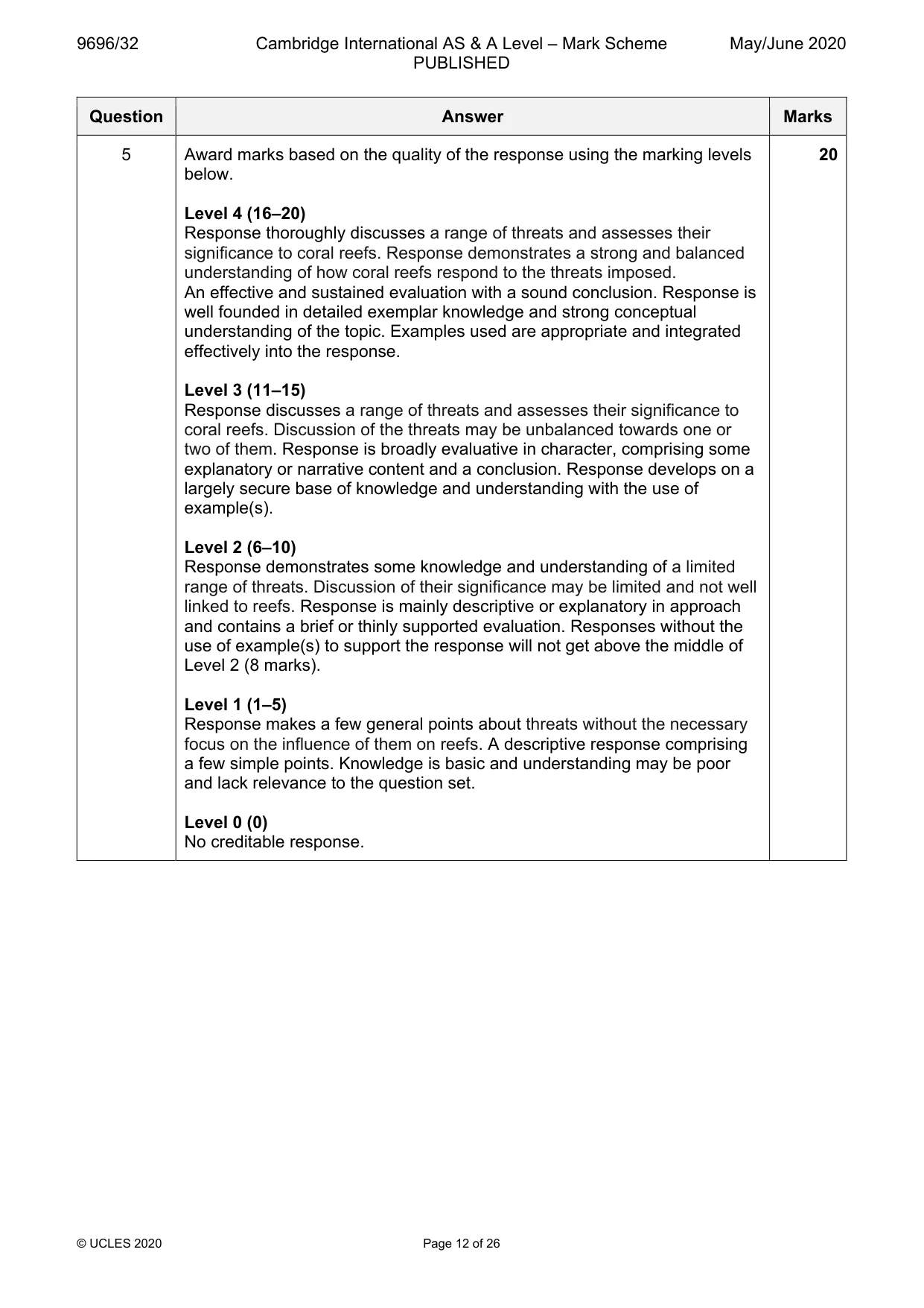
Mark scheme: 5 Assess the significance of different threats to coral reefs. 20 Candidates are free to develop their own approach to the question and responses will vary depending on the example(s) chosen. Whichever approach is chosen, essays which address the question and support their argument with relevant examples will be credited. The direction of the response and evaluation made will depend on the approach chosen, and any evaluation is therefore valid, if argued and based on evidence. There must be some attempt at assessing the threats. Threats include: • global warming – higher sea temperatures, increased storminess, acidification • sea level rise • pollution – discharge of effluent/sediments/chemicals/sewage • physical damage – fishing methods/tourism Candidates should attempt to make linkages between the threats and the potential impacts. Credit other valid threats. 5 Award marks based on the quality of the response using the marking levels 20 below. Level 4 (16–20) Response thoroughly discusses a range of threats and assesses their significance to coral reefs. Response demonstrates a strong and balanced understanding of how coral reefs respond to the threats imposed. An effective and sustained evaluation with a sound conclusion. Response is well founded in detailed exemplar knowledge and strong conceptual understanding of the topic. Examples used are appropriate and integrated effectively into the response. Level 3 (11–15) Response discusses a range of threats and assesses their significance to coral reefs. Discussion of the threats may be unbalanced towards one or two of them. Response is broadly evaluative in character, comprising some explanatory or narrative content and a conclusion. Response develops on a largely secure base of knowledge and understanding with the use of example(s). Level 2 (6–10) Response demonstrates some knowledge and understanding of a limited range of threats. Discussion of their significance may be limited and not well linked to reefs. Response is mainly descriptive or explanatory in approach and contains a brief or thinly supported evaluation. Responses without the use of example(s) to support the response will not get above the middle of Level 2 (8 marks). Level 1 (1–5) Response makes a few general points about threats without the necessary focus on the influence of them on reefs. A descriptive response comprising a few simple points. Knowledge is basic and understanding may be poor and lack relevance to the question set. Level 0 (0) No creditable response.
Q6 · Using a case study, evaluate the attempted solutions to the problems of sustainably…
6 Using a case study, evaluate the attempted solutions to the problems of sustainably managing a stretch, or stretches, of coastline. [20] Hazardous environments If answering this option, answer Question 7 and either Question 8 or Question 9.
Mark scheme: 6 Using a case study, evaluate the attempted solutions to the problems 20 of sustainably managing a stretch, or stretches, of coastline. Candidates are free to develop their own approach to the question and responses will vary depending on the example(s) chosen. Whichever approach is chosen, essays which address the question and support their argument with relevant examples will be credited. The direction of the response and evaluation made will depend on the approach chosen, and any evaluation is therefore valid, if argued and based on evidence. There may be detailed consideration of a single stretch of coastline or a more broadly conceived response relating to stretches of coastline. There must be some attempt at evaluating the solutions. Solutions may include: • hard engineering, e.g. groynes, revetments, riprap • soft engineering, e.g. beach nourishment, vegetation planting, regrading • managed retreat, e.g. red-lining • shoreline management planning 6 Award marks based on the quality of the response using the marking levels below. Level 4 (16–20) Response thoroughly discusses a range of different solutions with a secure understanding of the strategies involved. An effective and sustained evaluation with a sound conclusion. Response is well founded in detailed exemplar knowledge and strong conceptual understanding of the topic. Examples used are appropriate and integrated effectively into the response. Level 3 (11–15) Response discusses a range of solutions but may focus on one at the expense of others. The understanding of the concept of sustainability may be limited and less secure. Response is broadly evaluative in character, comprising some explanatory or narrative content and a conclusion. Response develops on a largely secure base of knowledge and understanding with the use of example(s). Level 2 (6–10) Response demonstrates some knowledge and understanding of some attempted solutions but understanding of their sustainability may not be secure. Links to problems may be limited, lack development and may not be identified clearly. Response is mainly descriptive or explanatory in approach and contains a brief or thinly supported evaluation. Responses without the use of example(s) to support the response will not get above the middle of Level 2 (8 marks). Level 1 (1–5) Response makes a few general points about coastal management without the necessary focus on solutions to problems of sustainability. A descriptive response comprising a few simple points. Knowledge is basic and understanding may be poor and lack relevance to the question set. Level 0 (0) No creditable response. Hazardous environments If answering this option, answer Question 7 and either Question 8 or Question 9.
Q7 · Ash fallout from Mount Ruapehu, a volcano in New Zealand, 1995–6
7 Fig. 7.1 shows ash fallout from Mount Ruapehu, a volcano in New Zealand, 1995–6. (a) Describe the pattern of ash fallout shown in Fig. 7.1. [4] (b) Suggest two reasons for the pattern you described in (a). [6]
Mark scheme: 7(a) Fig. 7.1 shows ash fallout from Mount Ruapehu, a volcano in New 4 Zealand, 1995–6. Describe the pattern of ash fallout shown in Fig. 7.1. Candidates should interpret Fig. 7.1 to identify the pattern of ash fallout across the area. Candidates may identify that: • ash fallout is broadly westerly • specific direction varies on different dates • distance travelled also varies • thickness of fallout decreases with distance 1 mark for each valid point. Allow one mark maximum for accurate use of data. 7(b) Suggest two reasons for the pattern you described in (a). 6 Candidates should focus on the pattern described. Reasons include: • direction of winds may influence direction of ash travel • strength of wind influences distance of travel • amount of ash ejected influences thickness of deposits • proximity to the vent influences thickness of fallout • relief of the landscape, including the presence of valleys which may channel ash in clouds in particular directions Award marks based on the quality of explanation and breadth of the response using the marking levels below. Level 3 (5–6) Response applies knowledge and understanding of two reasons and explains their influence on the pattern. Response is well founded in detailed knowledge and strong conceptual understanding of the topic. Any examples used are appropriate and integrated effectively into the response. Level 2 (3–4) Response discusses at least one reason, possibly in an unbalanced way, making some explanatory links to at least one element of the pattern. Response develops on a largely secure base of knowledge and understanding. Examples may lack detail or development. Level 1 (1–2) Response consists of one or more descriptive statements with little or no explanation of the pattern. Knowledge is basic and understanding may be inaccurate. Examples are in name only or lacking entirely. Level 0 (0) No creditable response.
Q8 · Assess the relative importance of prediction in reducing the impacts of large scale…
8 Assess the relative importance of prediction in reducing the impacts of large scale atmospheric disturbances. [20]
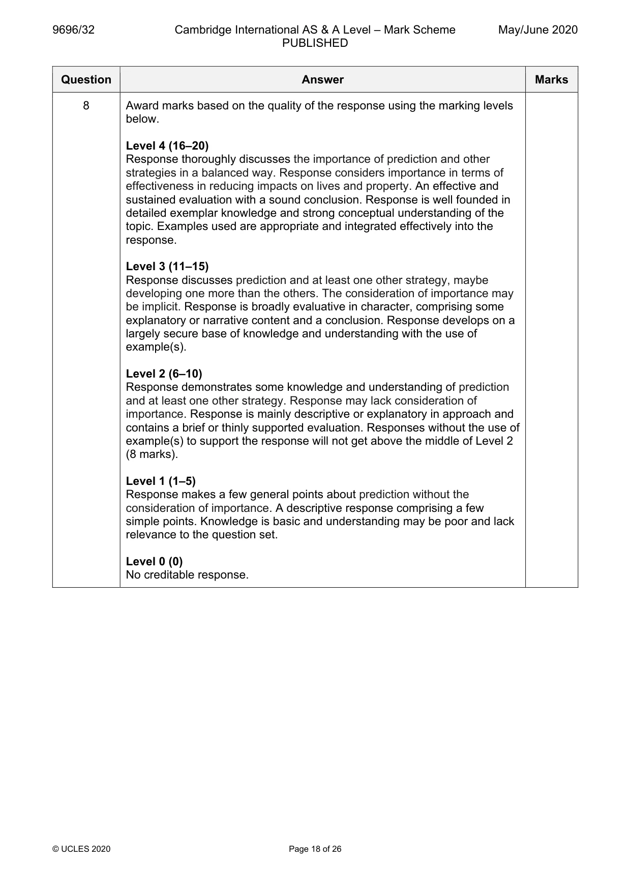
Mark scheme: 8 Assess the relative importance of prediction in reducing the impacts of 20 large scale atmospheric disturbances. Candidates are free to develop their own approach to the question and responses will vary depending on the example(s) chosen. Whichever approach is chosen, essays which address the question and support their argument with relevant examples will be credited. The direction of the response and evaluation made will depend on the approach chosen, and any evaluation is therefore valid, if argued and based on evidence. There must be some attempt at assessing the relative importance of different strategies. Large scale atmospheric disturbances include: • cyclones • hurricanes • typhoons Management strategies include: • prediction – using computer modelling • preparedness – including land use zoning, evacuation and early warning systems • monitoring – including satellite images, radar, GIS 8 Award marks based on the quality of the response using the marking levels below. Level 4 (16–20) Response thoroughly discusses the importance of prediction and other strategies in a balanced way. Response considers importance in terms of effectiveness in reducing impacts on lives and property. An effective and sustained evaluation with a sound conclusion. Response is well founded in detailed exemplar knowledge and strong conceptual understanding of the topic. Examples used are appropriate and integrated effectively into the response. Level 3 (11–15) Response discusses prediction and at least one other strategy, maybe developing one more than the others. The consideration of importance may be implicit. Response is broadly evaluative in character, comprising some explanatory or narrative content and a conclusion. Response develops on a largely secure base of knowledge and understanding with the use of example(s). Level 2 (6–10) Response demonstrates some knowledge and understanding of prediction and at least one other strategy. Response may lack consideration of importance. Response is mainly descriptive or explanatory in approach and contains a brief or thinly supported evaluation. Responses without the use of example(s) to support the response will not get above the middle of Level 2 (8 marks). Level 1 (1–5) Response makes a few general points about prediction without the consideration of importance. A descriptive response comprising a few simple points. Knowledge is basic and understanding may be poor and lack relevance to the question set. Level 0 (0) No creditable response.
Q9 · Assess the extent to which physical factors, rather than human factors, cause mass…
9 Assess the extent to which physical factors, rather than human factors, cause mass movements. [20] Hot arid and semi-arid environments If answering this option, answer Question 10 and either Question 11 or Question 12.
Mark scheme: 9 Assess the extent to which physical factors, rather than human 20 factors, cause mass movements. Candidates are free to develop their own approach to the question and responses will vary depending on the example(s) chosen. Whichever approach is chosen, essays which address the question and support their argument with relevant examples will be credited. The direction of the response and evaluation made will depend on the approach chosen, and any evaluation is therefore valid, if argued and based on evidence. There should be evaluation of the relative roles of the two groups of factors. Physical factors may include: • relief • climate • geology • soil • tectonic activity • undercutting of slopes (river, marine, glacial) Human factors may include: • building on slopes • construction of road/rail cuttings • deforestation • agriculture Contextual understanding of the relationship between shear stress and strength should be credited. 9 Award marks based on the quality of the response using the marking levels below. Level 4 (16–20) Response thoroughly discusses the importance of physical and human factors in a balanced way. Response considers causal links between factors and mass movements. An effective and sustained evaluation with a sound conclusion. Response is well founded in detailed exemplar knowledge and strong conceptual understanding of the topic. Examples used are appropriate and integrated effectively into the response. Level 3 (11–15) Response discusses the importance of physical and human factors in a reasonably balanced way. Response is broadly evaluative in character, comprising some explanatory or narrative content and a conclusion. Response develops on a largely secure base of knowledge and understanding with the use of example(s). Level 2 (6–10) Response demonstrates some knowledge and understanding of both physical and human factors but discussion may be unbalanced. Response is mainly descriptive or explanatory in approach and contains a brief or thinly supported evaluation. Responses without the use of example(s) to support the response will not get above the middle of Level 2 (8 marks). Level 1 (1–5) Response makes a few general points about a limited number of factors without the necessary evaluation. A descriptive response comprising a few simple points. Knowledge is basic and understanding may be poor and lack relevance to the question set. Level 0 (0) No creditable response. Hot arid and semi-arid environments If answering this option, answer Question 10 and either Question 11 or Question 12.
Q10 · A climate graph for Naghbi, Saudi Arabia
10 Fig. 10.1 is a climate graph for Naghbi, Saudi Arabia. (a) Describe the climate of Naghbi, Saudi Arabia, shown in Fig. 10.1. [4] (b) Explain the high diurnal temperature range of hot arid environments. [6]
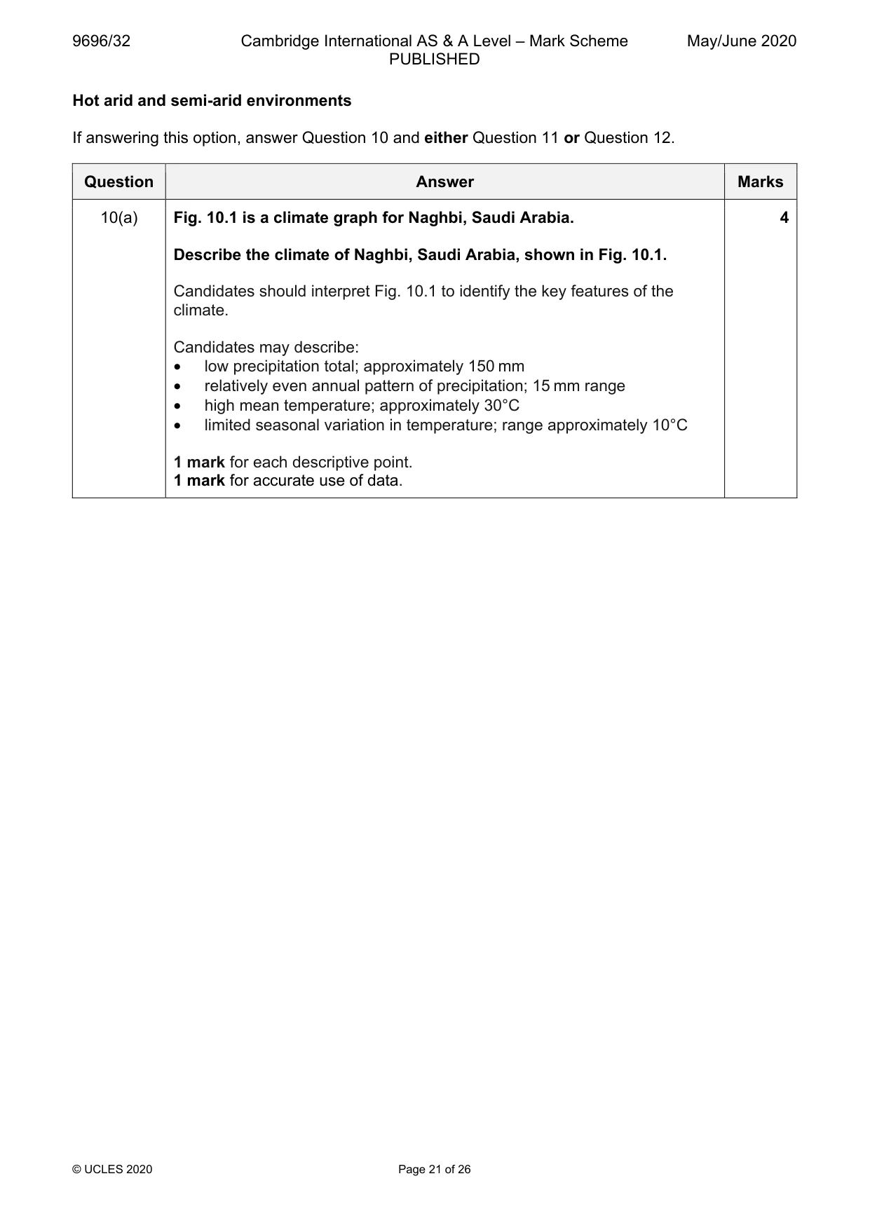
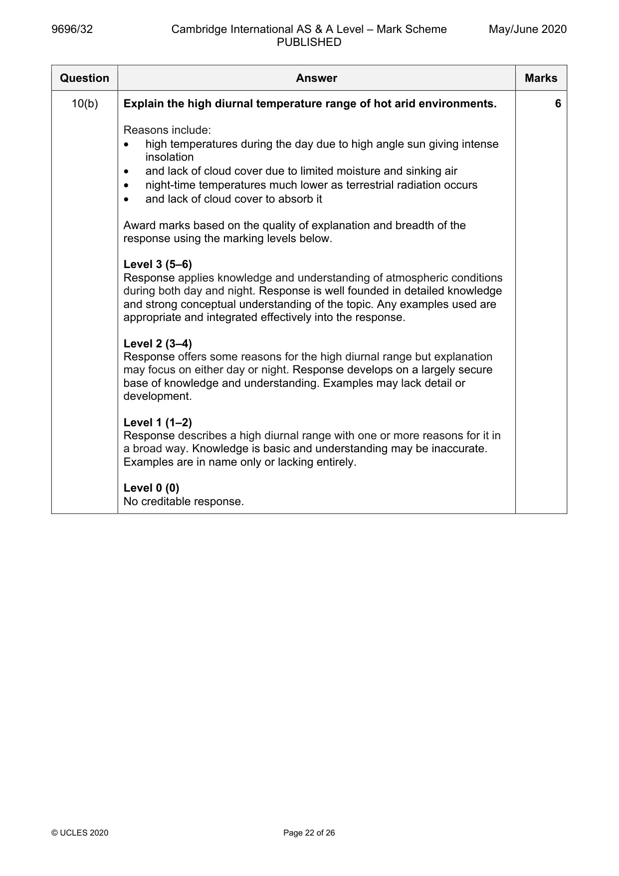
Mark scheme: 10(a) Fig. 10.1 is a climate graph for Naghbi, Saudi Arabia. 4 Describe the climate of Naghbi, Saudi Arabia, shown in Fig. 10.1. Candidates should interpret Fig. 10.1 to identify the key features of the climate. Candidates may describe: • low precipitation total; approximately 150 mm • relatively even annual pattern of precipitation; 15 mm range • high mean temperature; approximately 30°C • limited seasonal variation in temperature; range approximately 10°C 1 mark for each descriptive point. 1 mark for accurate use of data. 10(b) Explain the high diurnal temperature range of hot arid environments. 6 Reasons include: • high temperatures during the day due to high angle sun giving intense insolation • and lack of cloud cover due to limited moisture and sinking air • night-time temperatures much lower as terrestrial radiation occurs • and lack of cloud cover to absorb it Award marks based on the quality of explanation and breadth of the response using the marking levels below. Level 3 (5–6) Response applies knowledge and understanding of atmospheric conditions during both day and night. Response is well founded in detailed knowledge and strong conceptual understanding of the topic. Any examples used are appropriate and integrated effectively into the response. Level 2 (3–4) Response offers some reasons for the high diurnal range but explanation may focus on either day or night. Response develops on a largely secure base of knowledge and understanding. Examples may lack detail or development. Level 1 (1–2) Response describes a high diurnal range with one or more reasons for it in a broad way. Knowledge is basic and understanding may be inaccurate. Examples are in name only or lacking entirely. Level 0 (0) No creditable response.
Q11 · ‘Physiological drought has a more significant impact than physical drought on the…
11 ‘Physiological drought has a more significant impact than physical drought on the vegetation of hot arid and semi-arid environments.’ How far do you agree? [20]
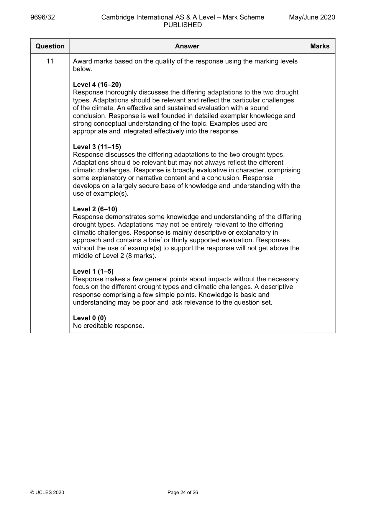
Mark scheme: 11 ‘Physiological drought has a more significant impact than physical 20 drought on the vegetation of hot arid and semi-arid environments.’ How far do you agree? Candidates are free to develop their own approach to the question and responses will vary depending on the example(s) chosen. Whichever approach is chosen, essays which address the question and support their argument with relevant examples will be credited. The direction of the response and evaluation made will depend on the approach chosen, and any evaluation is therefore valid, if argued and based on evidence. There should be evaluation of the impact of both types of drought. Some might argue that the impacts of both are similar. Physical drought impacts include: • dehydration, wilting and death due to lack of rainfall • vegetation may adapt in various ways to obtain as much water as possible, including… • …deep tap roots • extensive surface roots • salt tolerance • dormancy Physiological drought impacts include: • dehydration, wilting and death due to lack of available moisture • vegetation may adapt in various ways to reduce water losses to evapotranspiration, including… • …diurnally closed or sunken stomata • thick, waxy cuticles • storage tissues • drought resistance – surviving long periods without water • small surface to volume ratio to reduce transpiration losses 11 Award marks based on the quality of the response using the marking levels below. Level 4 (16–20) Response thoroughly discusses the differing adaptations to the two drought types. Adaptations should be relevant and reflect the particular challenges of the climate. An effective and sustained evaluation with a sound conclusion. Response is well founded in detailed exemplar knowledge and strong conceptual understanding of the topic. Examples used are appropriate and integrated effectively into the response. Level 3 (11–15) Response discusses the differing adaptations to the two drought types. Adaptations should be relevant but may not always reflect the different climatic challenges. Response is broadly evaluative in character, comprising some explanatory or narrative content and a conclusion. Response develops on a largely secure base of knowledge and understanding with the use of example(s). Level 2 (6–10) Response demonstrates some knowledge and understanding of the differing drought types. Adaptations may not be entirely relevant to the differing climatic challenges. Response is mainly descriptive or explanatory in approach and contains a brief or thinly supported evaluation. Responses without the use of example(s) to support the response will not get above the middle of Level 2 (8 marks). Level 1 (1–5) Response makes a few general points about impacts without the necessary focus on the different drought types and climatic challenges. A descriptive response comprising a few simple points. Knowledge is basic and understanding may be poor and lack relevance to the question set. Level 0 (0) No creditable response.
Q12 · Assess the view that water action has the most important role in the formation of…
12 Assess the view that water action has the most important role in the formation of landforms of hot arid and semi-arid environments. [20]
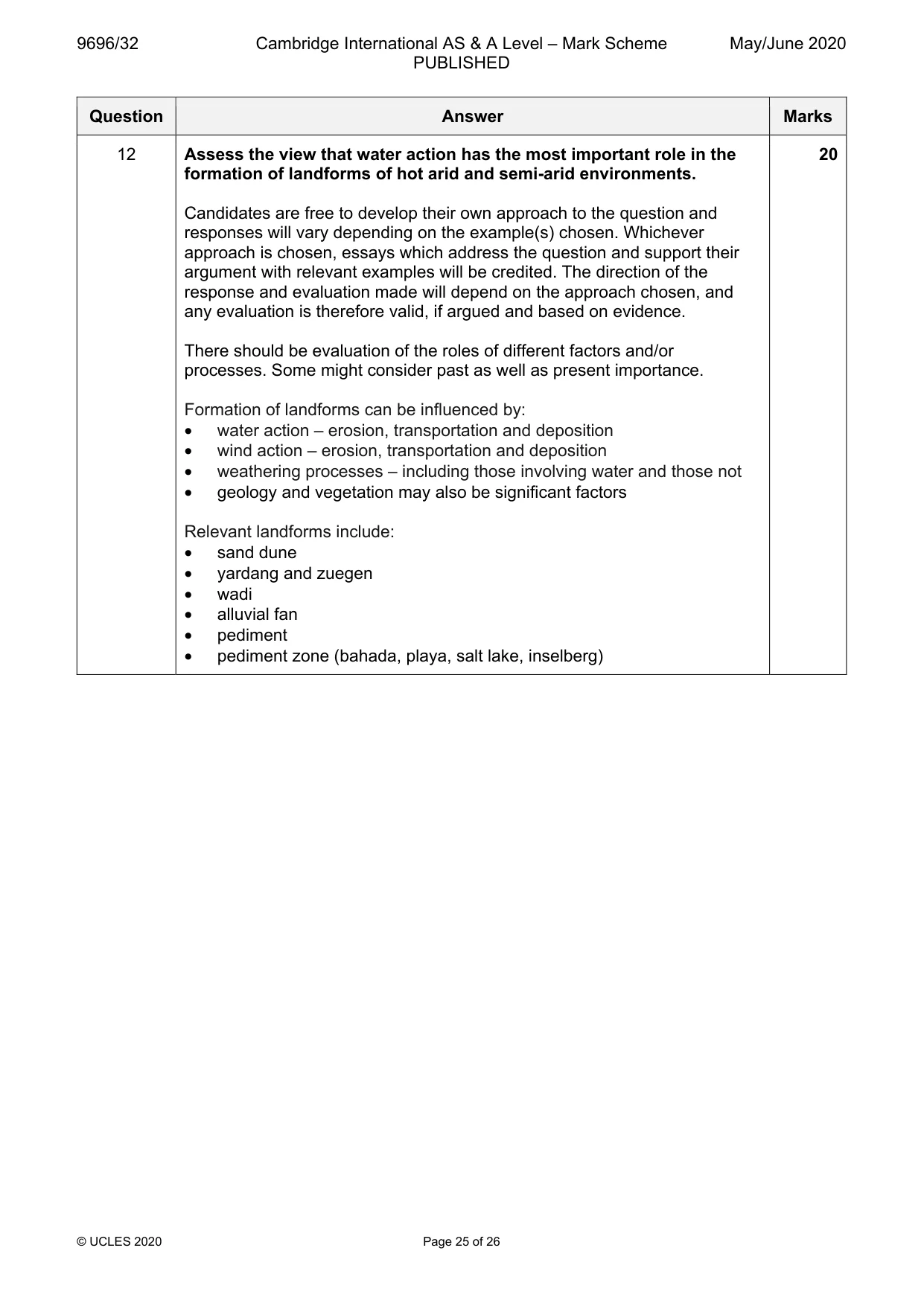
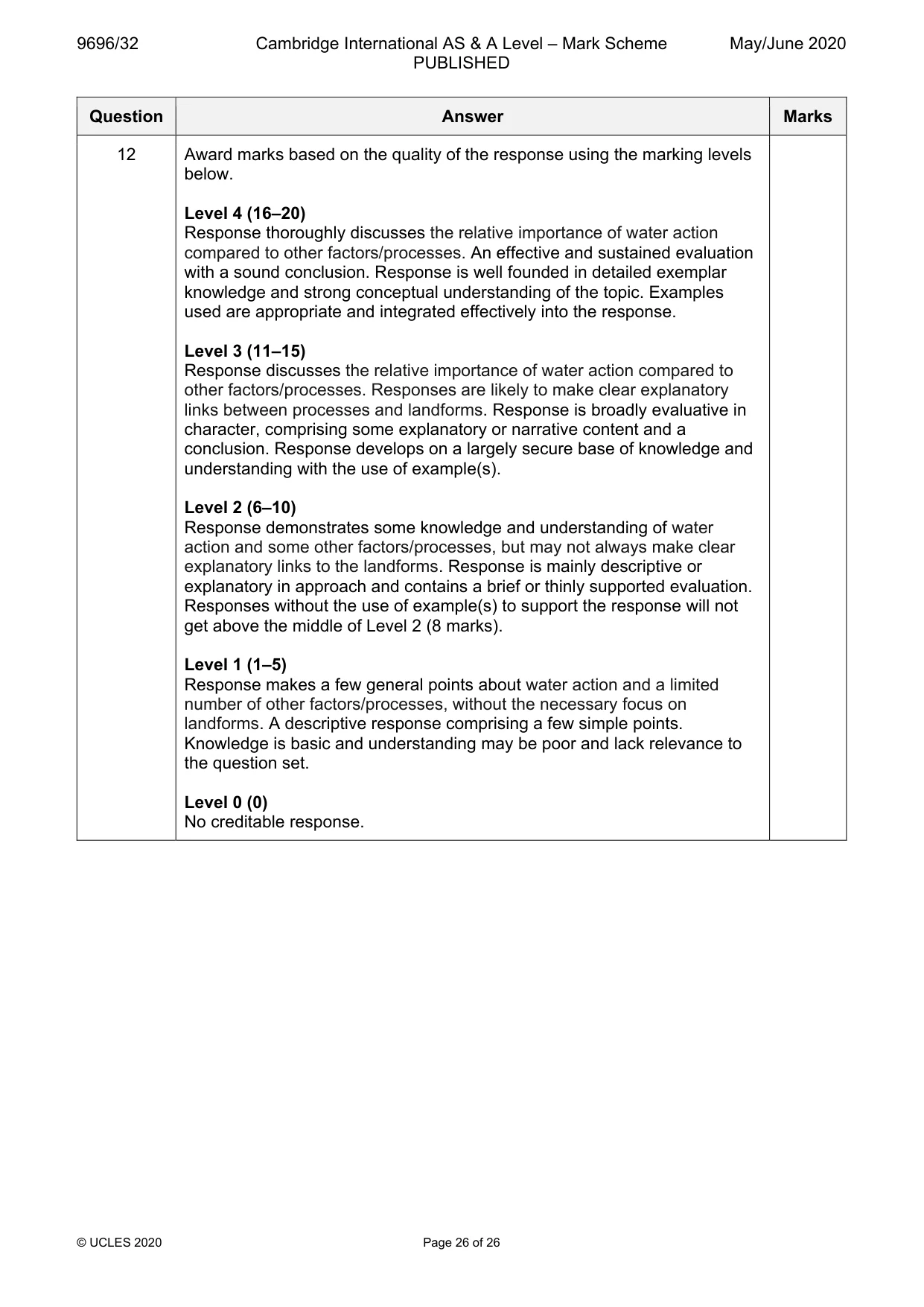
Mark scheme: 12 Assess the view that water action has the most important role in the 20 formation of landforms of hot arid and semi-arid environments. Candidates are free to develop their own approach to the question and responses will vary depending on the example(s) chosen. Whichever approach is chosen, essays which address the question and support their argument with relevant examples will be credited. The direction of the response and evaluation made will depend on the approach chosen, and any evaluation is therefore valid, if argued and based on evidence. There should be evaluation of the roles of different factors and/or processes. Some might consider past as well as present importance. Formation of landforms can be influenced by: • water action – erosion, transportation and deposition • wind action – erosion, transportation and deposition • weathering processes – including those involving water and those not • geology and vegetation may also be significant factors Relevant landforms include: • sand dune • yardang and zuegen • wadi • alluvial fan • pediment • pediment zone (bahada, playa, salt lake, inselberg) 12 Award marks based on the quality of the response using the marking levels below. Level 4 (16–20) Response thoroughly discusses the relative importance of water action compared to other factors/processes. An effective and sustained evaluation with a sound conclusion. Response is well founded in detailed exemplar knowledge and strong conceptual understanding of the topic. Examples used are appropriate and integrated effectively into the response. Level 3 (11–15) Response discusses the relative importance of water action compared to other factors/processes. Responses are likely to make clear explanatory links between processes and landforms. Response is broadly evaluative in character, comprising some explanatory or narrative content and a conclusion. Response develops on a largely secure base of knowledge and understanding with the use of example(s). Level 2 (6–10) Response demonstrates some knowledge and understanding of water action and some other factors/processes, but may not always make clear explanatory links to the landforms. Response is mainly descriptive or explanatory in approach and contains a brief or thinly supported evaluation. Responses without the use of example(s) to support the response will not get above the middle of Level 2 (8 marks). Level 1 (1–5) Response makes a few general points about water action and a limited number of other factors/processes, without the necessary focus on landforms. A descriptive response comprising a few simple points. Knowledge is basic and understanding may be poor and lack relevance to the question set. Level 0 (0) No creditable response.
What was in this paper
The subtopics covered by these 12 questions, and how many questions each got. Open one in a new tab to see every Cambridge question on it.
1Coral reefs1Hazards resulting from atmospheric disturbances1Hazards resulting from mass movements1Hazards resulting from tectonic processes1Hot arid and semi-arid climates1Humid tropical (rainforest) ecosystems and seasonally humid tropical (savanna) ecosystems1Landforms of hot arid and semi-arid environments1Landforms of tropical environments1Soils and vegetation1Sustainable management of coasts1Tropical climates1