Cambridge A Level Geography 9696 — 2018 Oct/Nov Paper 3 · Variant 1
9696/31/O/N/18 · 60 marks · ≈68 min
The question paper and its mark scheme, free to read here and free to download. This is Cambridge’s own paper, exactly as it was sat.
Question paper4 pages

Mark scheme18 pages
Answers below. Sit the paper first if you are practising.

Paper as text
Question paper, page 1
This document consists of 3 printed pages, 1 blank page and 2 Inserts. DC (LK) 172117 © UCLES 2018 [Turn over * 2 8 5 5 3 7 5 3 4 2 * GEOGRAPHY 9696/31 Paper 3 Advanced Physical Geography Options October/November 2018 1 hour 30 minutes No Additional Materials are required. READ THESE INSTRUCTIONS FIRST An answer booklet is provided inside this question paper. You should follow the instructions on the front cover of the answer booklet. If you need additional answer paper ask the invigilator for a continuation booklet. In this paper there are four Physical Geography options. Tropical environments Coastal environments Hazardous environments Hot arid and semi-arid environments Answer questions from two different options. Sketch maps and diagrams should be drawn whenever they serve to illustrate an answer. You should make reference to appropriate examples studied in the field or the classroom, even where such examples are not specifically requested by the question. All the resources referred to in the questions are contained in the Insert. The number of marks is given in brackets [ ] at the end of each question or part question. The total number of marks for this paper is 60. Cambridge International Examinations Cambridge International Advanced Subsidiary and Advanced Level
Question paper, page 2
2 9696/31/O/N/18 © UCLES 2018 Answer questions from two different options. Tropical environments If answering this option, answer Question 1 and either Question 2 or Question 3. 1 Fig. 1.1 shows granite landforms in a tropical environment. (a) Describe the landforms shown in Fig. 1.1. [4] (b) Briefly explain how the landforms described in (a) might have developed. [6] 2 For one tropical ecosystem, assess the role of physical factors in limiting the development of climax vegetation. [20] 3 Evaluate problems of sustainable management of areas within either the tropical rainforest ecosystem or the savanna ecosystem. [20] [Total: 30] Coastal environments If answering this option, answer Question 4 and either Question 5 or Question 6. 4 Fig. 4.1 shows coastline change in Long Bay, South Carolina, USA, 1996–2000. (a) Describe the rates of change shown in Fig. 4.1 from North Island to Waites Island. [4] (b) Suggest two reasons for the rates of coastline change described in (a). [6] 5 To what extent is the formation of cliff profiles the result of marine erosion? [20] 6 Describe the problems of sustainably managing a stretch or stretches of coastline and evaluate the attempted solutions. [20] [Total: 30]
Question paper, page 3
3 9696/31/O/N/18 © UCLES 2018 Hazardous environments If answering this option, answer Question 7 and either Question 8 or Question 9. 7 Fig. 7.1 shows the tracks of selected hurricanes in the Atlantic Ocean in 2014. (a) Describe the tracks of the hurricanes shown in Fig. 7.1. [4] (b) Outline possible reasons for the source and direction of movement of the hurricanes shown in Fig. 7.1. [6] 8 ‘Prediction is the most effective way of reducing the impacts of volcanic eruptions on lives and property.’ How far do you agree with this view? [20] 9 For the hazardous environment you have studied, assess the view that sustainable management is impossible. [20] [Total: 30] Hot arid and semi-arid environments If answering this option, answer Question 10 and either Question 11 or Question 12. 10 Fig. 10.1 is a photograph which shows sand dunes in a hot arid environment. (a) With the aid of a labelled diagram, describe the sand dunes shown in Fig. 10.1. [4] (b) Suggest how the sand dunes described in (a) have developed. [6] 11 With the aid of examples, assess the extent to which ocean currents are the cause of aridity. [20] 12 ‘Desertification is caused by human factors.’ How far do you agree with this view? [20] [Total: 30]
Question paper, page 4
4 9696/31/O/N/18 © UCLES 2018 BLANK PAGE Permission to reproduce items where third-party owned material protected by copyright is included has been sought and cleared where possible. Every reasonable effort has been made by the publisher (UCLES) to trace copyright holders, but if any items requiring clearance have unwittingly been included, the publisher will be pleased to make amends at the earliest possible opportunity. To avoid the issue of disclosure of answer-related information to candidates, all copyright acknowledgements are reproduced online in the Cambridge International Examinations Copyright Acknowledgements Booklet. This is produced for each series of examinations and is freely available to download at www.cie.org.uk after the live examination series. Cambridge International Examinations is part of the Cambridge Assessment Group. Cambridge Assessment is the brand name of University of Cambridge Local Examinations Syndicate (UCLES), which is itself a department of the University of Cambridge.
Mark scheme, page 1
This document consists of 18 printed pages. © UCLES 2018 [Turn over Cambridge Assessment International Education Cambridge International Advanced Subsidiary and Advanced Level GEOGRAPHY 9696/31 Paper 3 Advanced Physical Geography Options October/November 2018 MARK SCHEME Maximum Mark: 60 Published This mark scheme is published as an aid to teachers and candidates, to indicate the requirements of the examination. It shows the basis on which Examiners were instructed to award marks. It does not indicate the details of the discussions that took place at an Examiners’ meeting before marking began, which would have considered the acceptability of alternative answers. Mark schemes should be read in conjunction with the question paper and the Principal Examiner Report for Teachers. Cambridge International will not enter into discussions about these mark schemes. Cambridge International is publishing the mark schemes for the October/November 2018 series for most Cambridge IGCSE™, Cambridge International A and AS Level components and some Cambridge O Level components.
Mark scheme, page 2
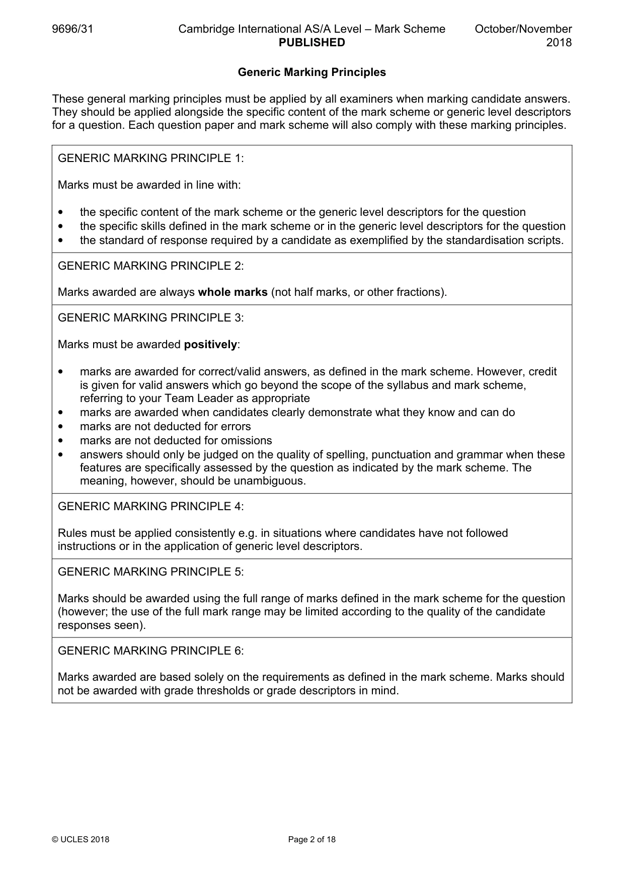
9696/31 Cambridge International AS/A Level – Mark Scheme PUBLISHED October/November 2018 © UCLES 2018 Page 2 of 18 Generic Marking Principles These general marking principles must be applied by all examiners when marking candidate answers. They should be applied alongside the specific content of the mark scheme or generic level descriptors for a question. Each question paper and mark scheme will also comply with these marking principles. GENERIC MARKING PRINCIPLE 1: Marks must be awarded in line with: • the specific content of the mark scheme or the generic level descriptors for the question • the specific skills defined in the mark scheme or in the generic level descriptors for the question • the standard of response required by a candidate as exemplified by the standardisation scripts. GENERIC MARKING PRINCIPLE 2: Marks awarded are always whole marks (not half marks, or other fractions). GENERIC MARKING PRINCIPLE 3: Marks must be awarded positively: • marks are awarded for correct/valid answers, as defined in the mark scheme. However, credit is given for valid answers which go beyond the scope of the syllabus and mark scheme, referring to your Team Leader as appropriate • marks are awarded when candidates clearly demonstrate what they know and can do • marks are not deducted for errors • marks are not deducted for omissions • answers should only be judged on the quality of spelling, punctuation and grammar when these features are specifically assessed by the question as indicated by the mark scheme. The meaning, however, should be unambiguous. GENERIC MARKING PRINCIPLE 4: Rules must be applied consistently e.g. in situations where candidates have not followed instructions or in the application of generic level descriptors. GENERIC MARKING PRINCIPLE 5: Marks should be awarded using the full range of marks defined in the mark scheme for the question (however; the use of the full mark range may be limited according to the quality of the candidate responses seen). GENERIC MARKING PRINCIPLE 6: Marks awarded are based solely on the requirements as defined in the mark scheme. Marks should not be awarded with grade thresholds or grade descriptors in mind.
Mark scheme, page 3
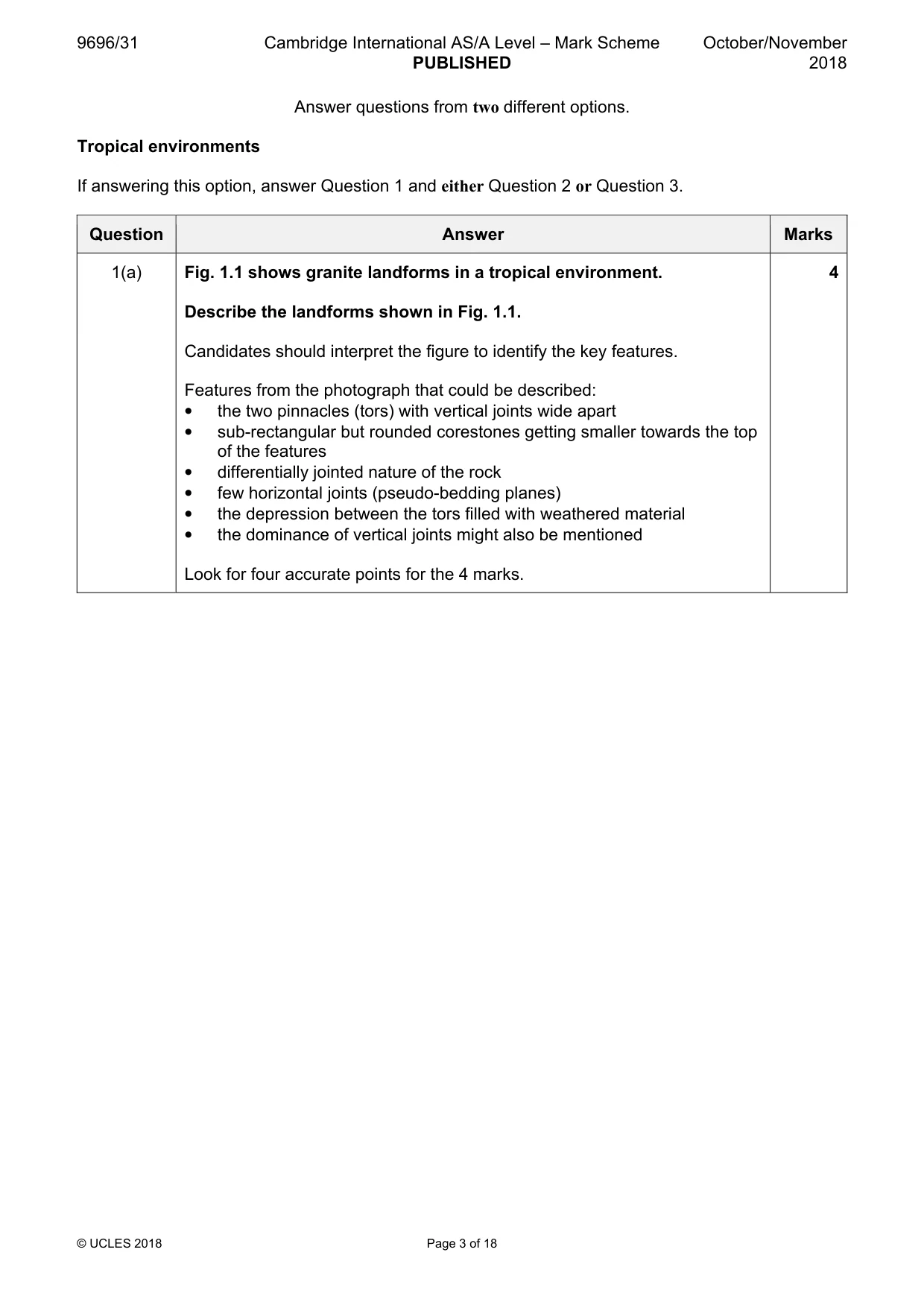
9696/31 Cambridge International AS/A Level – Mark Scheme PUBLISHED October/November 2018 © UCLES 2018 Page 3 of 18 Answer questions from two different options. Tropical environments If answering this option, answer Question 1 and either Question 2 or Question 3. Question Answer Marks 1(a) Fig. 1.1 shows granite landforms in a tropical environment. Describe the landforms shown in Fig. 1.1. Candidates should interpret the figure to identify the key features. Features from the photograph that could be described: • the two pinnacles (tors) with vertical joints wide apart • sub-rectangular but rounded corestones getting smaller towards the top of the features • differentially jointed nature of the rock • few horizontal joints (pseudo-bedding planes) • the depression between the tors filled with weathered material • the dominance of vertical joints might also be mentioned Look for four accurate points for the 4 marks. 4
Mark scheme, page 4
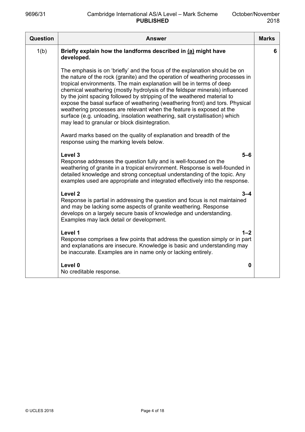
9696/31 Cambridge International AS/A Level – Mark Scheme PUBLISHED October/November 2018 © UCLES 2018 Page 4 of 18 Question Answer Marks 1(b) Briefly explain how the landforms described in (a) might have developed. The emphasis is on ‘briefly’ and the focus of the explanation should be on the nature of the rock (granite) and the operation of weathering processes in tropical environments. The main explanation will be in terms of deep chemical weathering (mostly hydrolysis of the feldspar minerals) influenced by the joint spacing followed by stripping of the weathered material to expose the basal surface of weathering (weathering front) and tors. Physical weathering processes are relevant when the feature is exposed at the surface (e.g. unloading, insolation weathering, salt crystallisation) which may lead to granular or block disintegration. Award marks based on the quality of explanation and breadth of the response using the marking levels below. Level 3 5–6 Response addresses the question fully and is well-focused on the weathering of granite in a tropical environment. Response is well-founded in detailed knowledge and strong conceptual understanding of the topic. Any examples used are appropriate and integrated effectively into the response. Level 2 3–4 Response is partial in addressing the question and focus is not maintained and may be lacking some aspects of granite weathering. Response develops on a largely secure basis of knowledge and understanding. Examples may lack detail or development. Level 1 1–2 Response comprises a few points that address the question simply or in part and explanations are insecure. Knowledge is basic and understanding may be inaccurate. Examples are in name only or lacking entirely. Level 0 0 No creditable response. 6
Mark scheme, page 5
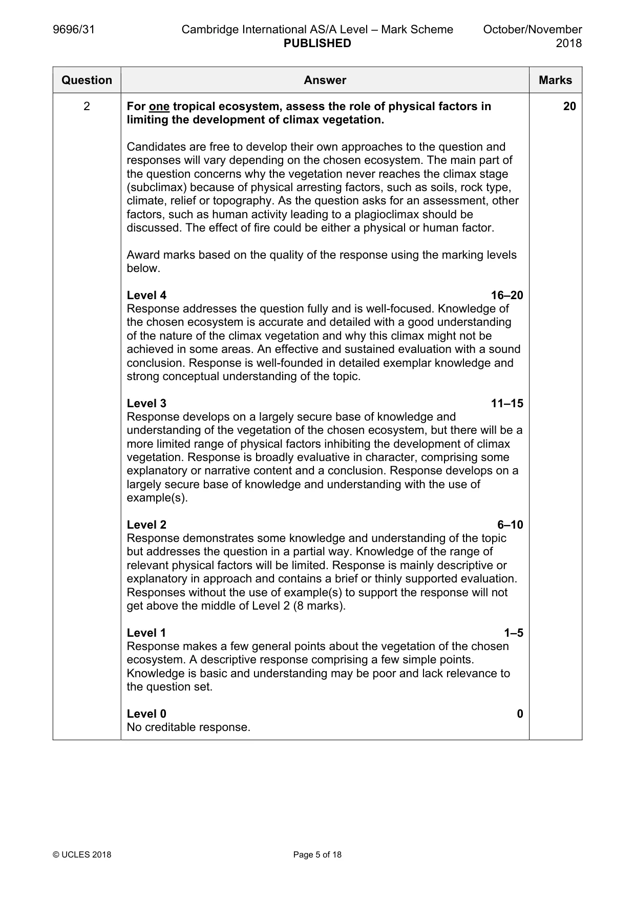
9696/31 Cambridge International AS/A Level – Mark Scheme PUBLISHED October/November 2018 © UCLES 2018 Page 5 of 18 Question Answer Marks 2 For one tropical ecosystem, assess the role of physical factors in limiting the development of climax vegetation. Candidates are free to develop their own approaches to the question and responses will vary depending on the chosen ecosystem. The main part of the question concerns why the vegetation never reaches the climax stage (subclimax) because of physical arresting factors, such as soils, rock type, climate, relief or topography. As the question asks for an assessment, other factors, such as human activity leading to a plagioclimax should be discussed. The effect of fire could be either a physical or human factor. Award marks based on the quality of the response using the marking levels below. Level 4 16–20 Response addresses the question fully and is well-focused. Knowledge of the chosen ecosystem is accurate and detailed with a good understanding of the nature of the climax vegetation and why this climax might not be achieved in some areas. An effective and sustained evaluation with a sound conclusion. Response is well-founded in detailed exemplar knowledge and strong conceptual understanding of the topic. Level 3 11–15 Response develops on a largely secure base of knowledge and understanding of the vegetation of the chosen ecosystem, but there will be a more limited range of physical factors inhibiting the development of climax vegetation. Response is broadly evaluative in character, comprising some explanatory or narrative content and a conclusion. Response develops on a largely secure base of knowledge and understanding with the use of example(s). Level 2 6–10 Response demonstrates some knowledge and understanding of the topic but addresses the question in a partial way. Knowledge of the range of relevant physical factors will be limited. Response is mainly descriptive or explanatory in approach and contains a brief or thinly supported evaluation. Responses without the use of example(s) to support the response will not get above the middle of Level 2 (8 marks). Level 1 1–5 Response makes a few general points about the vegetation of the chosen ecosystem. A descriptive response comprising a few simple points. Knowledge is basic and understanding may be poor and lack relevance to the question set. Level 0 0 No creditable response. 20
Mark scheme, page 6
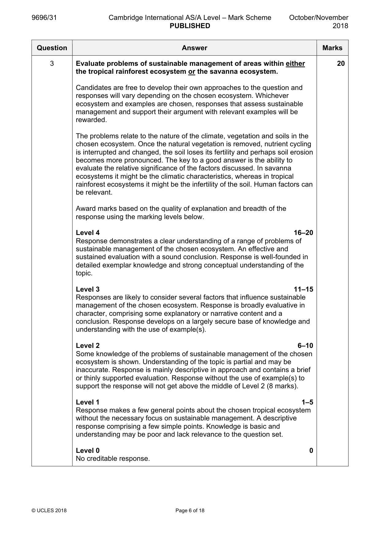
9696/31 Cambridge International AS/A Level – Mark Scheme PUBLISHED October/November 2018 © UCLES 2018 Page 6 of 18 Question Answer Marks 3 Evaluate problems of sustainable management of areas within either the tropical rainforest ecosystem or the savanna ecosystem. Candidates are free to develop their own approaches to the question and responses will vary depending on the chosen ecosystem. Whichever ecosystem and examples are chosen, responses that assess sustainable management and support their argument with relevant examples will be rewarded. The problems relate to the nature of the climate, vegetation and soils in the chosen ecosystem. Once the natural vegetation is removed, nutrient cycling is interrupted and changed, the soil loses its fertility and perhaps soil erosion becomes more pronounced. The key to a good answer is the ability to evaluate the relative significance of the factors discussed. In savanna ecosystems it might be the climatic characteristics, whereas in tropical rainforest ecosystems it might be the infertility of the soil. Human factors can be relevant. Award marks based on the quality of explanation and breadth of the response using the marking levels below. Level 4 16–20 Response demonstrates a clear understanding of a range of problems of sustainable management of the chosen ecosystem. An effective and sustained evaluation with a sound conclusion. Response is well-founded in detailed exemplar knowledge and strong conceptual understanding of the topic. Level 3 11–15 Responses are likely to consider several factors that influence sustainable management of the chosen ecosystem. Response is broadly evaluative in character, comprising some explanatory or narrative content and a conclusion. Response develops on a largely secure base of knowledge and understanding with the use of example(s). Level 2 6–10 Some knowledge of the problems of sustainable management of the chosen ecosystem is shown. Understanding of the topic is partial and may be inaccurate. Response is mainly descriptive in approach and contains a brief or thinly supported evaluation. Response without the use of example(s) to support the response will not get above the middle of Level 2 (8 marks). Level 1 1–5 Response makes a few general points about the chosen tropical ecosystem without the necessary focus on sustainable management. A descriptive response comprising a few simple points. Knowledge is basic and understanding may be poor and lack relevance to the question set. Level 0 0 No creditable response. 20
Mark scheme, page 7
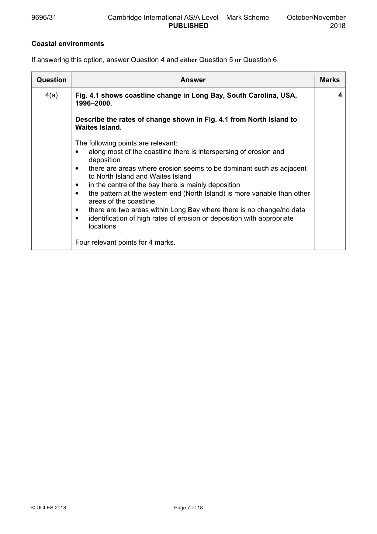
9696/31 Cambridge International AS/A Level – Mark Scheme PUBLISHED October/November 2018 © UCLES 2018 Page 7 of 18 Coastal environments If answering this option, answer Question 4 and either Question 5 or Question 6. Question Answer Marks 4(a) Fig. 4.1 shows coastline change in Long Bay, South Carolina, USA, 1996–2000. Describe the rates of change shown in Fig. 4.1 from North Island to Waites Island. The following points are relevant: • along most of the coastline there is interspersing of erosion and deposition • there are areas where erosion seems to be dominant such as adjacent to North Island and Waites Island • in the centre of the bay there is mainly deposition • the pattern at the western end (North Island) is more variable than other areas of the coastline • there are two areas within Long Bay where there is no change/no data • identification of high rates of erosion or deposition with appropriate locations Four relevant points for 4 marks. 4
Mark scheme, page 8
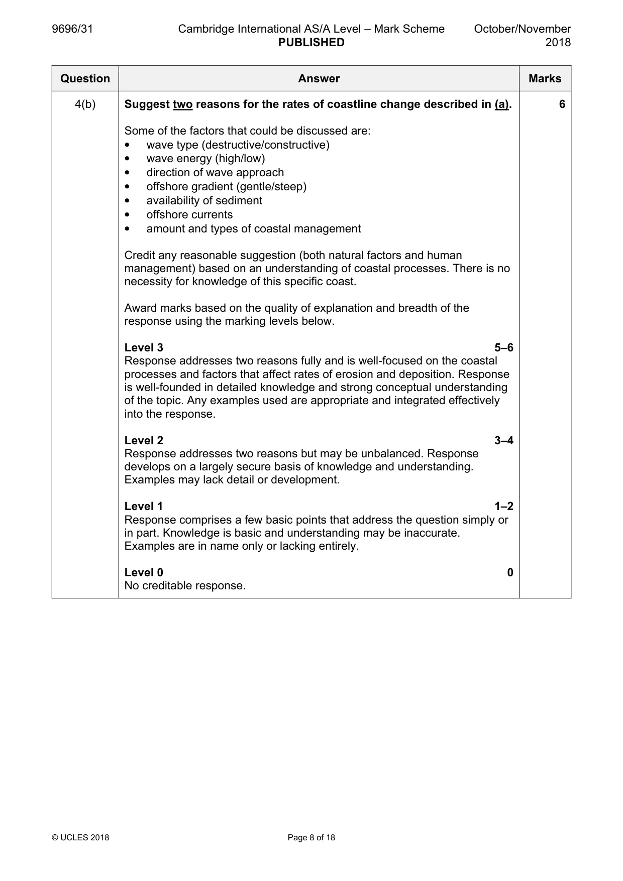
9696/31 Cambridge International AS/A Level – Mark Scheme PUBLISHED October/November 2018 © UCLES 2018 Page 8 of 18 Question Answer Marks 4(b) Suggest two reasons for the rates of coastline change described in (a). Some of the factors that could be discussed are: • wave type (destructive/constructive) • wave energy (high/low) • direction of wave approach • offshore gradient (gentle/steep) • availability of sediment • offshore currents • amount and types of coastal management Credit any reasonable suggestion (both natural factors and human management) based on an understanding of coastal processes. There is no necessity for knowledge of this specific coast. Award marks based on the quality of explanation and breadth of the response using the marking levels below. Level 3 5–6 Response addresses two reasons fully and is well-focused on the coastal processes and factors that affect rates of erosion and deposition. Response is well-founded in detailed knowledge and strong conceptual understanding of the topic. Any examples used are appropriate and integrated effectively into the response. Level 2 3–4 Response addresses two reasons but may be unbalanced. Response develops on a largely secure basis of knowledge and understanding. Examples may lack detail or development. Level 1 1–2 Response comprises a few basic points that address the question simply or in part. Knowledge is basic and understanding may be inaccurate. Examples are in name only or lacking entirely. Level 0 0 No creditable response. 6
Mark scheme, page 9
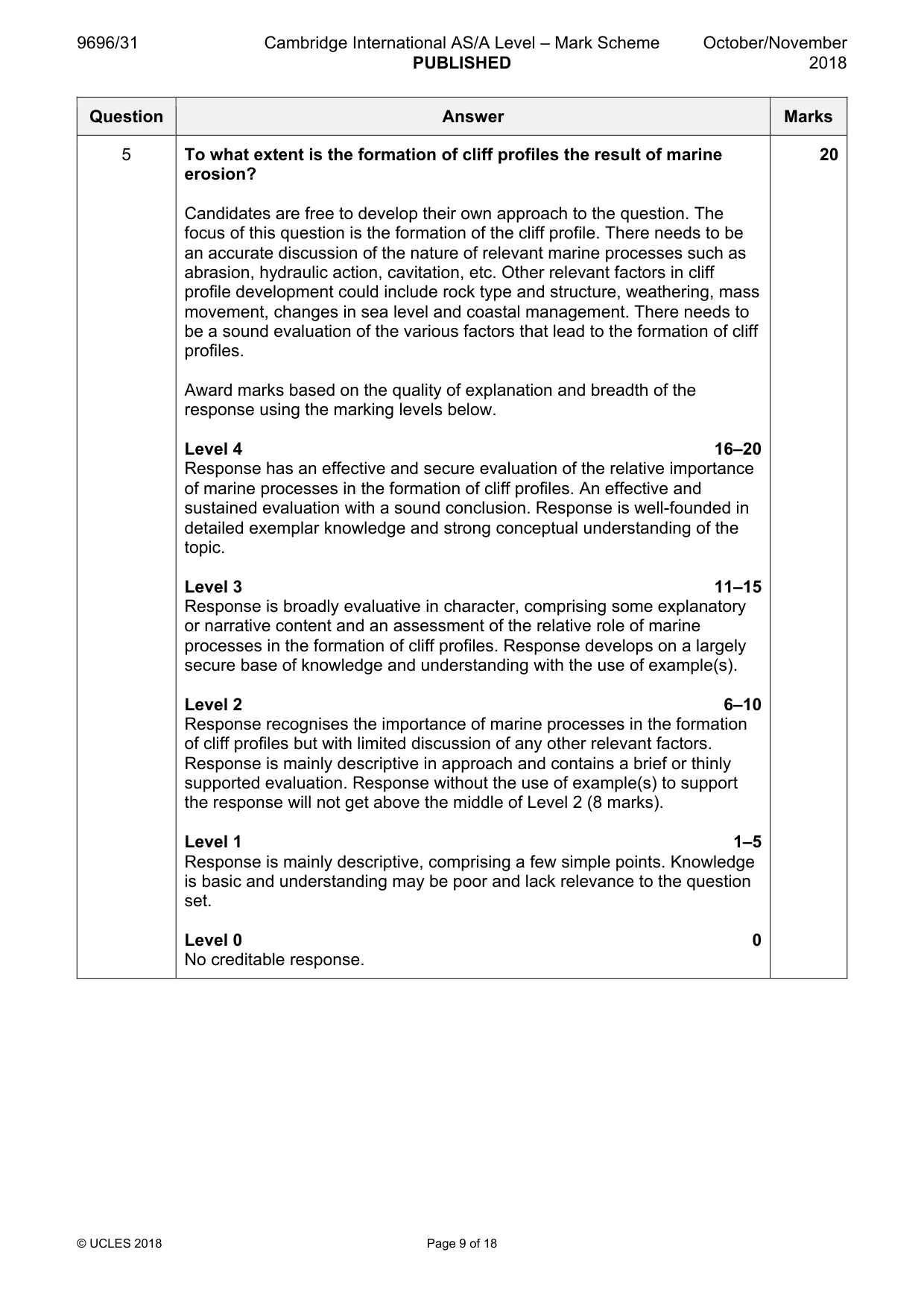
9696/31 Cambridge International AS/A Level – Mark Scheme PUBLISHED October/November 2018 © UCLES 2018 Page 9 of 18 Question Answer Marks 5 To what extent is the formation of cliff profiles the result of marine erosion? Candidates are free to develop their own approach to the question. The focus of this question is the formation of the cliff profile. There needs to be an accurate discussion of the nature of relevant marine processes such as abrasion, hydraulic action, cavitation, etc. Other relevant factors in cliff profile development could include rock type and structure, weathering, mass movement, changes in sea level and coastal management. There needs to be a sound evaluation of the various factors that lead to the formation of cliff profiles. Award marks based on the quality of explanation and breadth of the response using the marking levels below. Level 4 16–20 Response has an effective and secure evaluation of the relative importance of marine processes in the formation of cliff profiles. An effective and sustained evaluation with a sound conclusion. Response is well-founded in detailed exemplar knowledge and strong conceptual understanding of the topic. Level 3 11–15 Response is broadly evaluative in character, comprising some explanatory or narrative content and an assessment of the relative role of marine processes in the formation of cliff profiles. Response develops on a largely secure base of knowledge and understanding with the use of example(s). Level 2 6–10 Response recognises the importance of marine processes in the formation of cliff profiles but with limited discussion of any other relevant factors. Response is mainly descriptive in approach and contains a brief or thinly supported evaluation. Response without the use of example(s) to support the response will not get above the middle of Level 2 (8 marks). Level 1 1–5 Response is mainly descriptive, comprising a few simple points. Knowledge is basic and understanding may be poor and lack relevance to the question set. Level 0 0 No creditable response. 20
Mark scheme, page 10
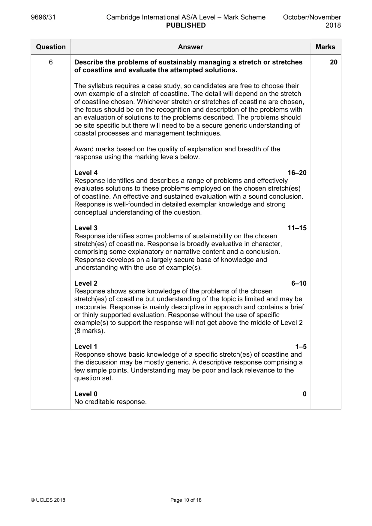
9696/31 Cambridge International AS/A Level – Mark Scheme PUBLISHED October/November 2018 © UCLES 2018 Page 10 of 18 Question Answer Marks 6 Describe the problems of sustainably managing a stretch or stretches of coastline and evaluate the attempted solutions. The syllabus requires a case study, so candidates are free to choose their own example of a stretch of coastline. The detail will depend on the stretch of coastline chosen. Whichever stretch or stretches of coastline are chosen, the focus should be on the recognition and description of the problems with an evaluation of solutions to the problems described. The problems should be site specific but there will need to be a secure generic understanding of coastal processes and management techniques. Award marks based on the quality of explanation and breadth of the response using the marking levels below. Level 4 16–20 Response identifies and describes a range of problems and effectively evaluates solutions to these problems employed on the chosen stretch(es) of coastline. An effective and sustained evaluation with a sound conclusion. Response is well-founded in detailed exemplar knowledge and strong conceptual understanding of the question. Level 3 11–15 Response identifies some problems of sustainability on the chosen stretch(es) of coastline. Response is broadly evaluative in character, comprising some explanatory or narrative content and a conclusion. Response develops on a largely secure base of knowledge and understanding with the use of example(s). Level 2 6–10 Response shows some knowledge of the problems of the chosen stretch(es) of coastline but understanding of the topic is limited and may be inaccurate. Response is mainly descriptive in approach and contains a brief or thinly supported evaluation. Response without the use of specific example(s) to support the response will not get above the middle of Level 2 (8 marks). Level 1 1–5 Response shows basic knowledge of a specific stretch(es) of coastline and the discussion may be mostly generic. A descriptive response comprising a few simple points. Understanding may be poor and lack relevance to the question set. Level 0 0 No creditable response. 20
Mark scheme, page 11
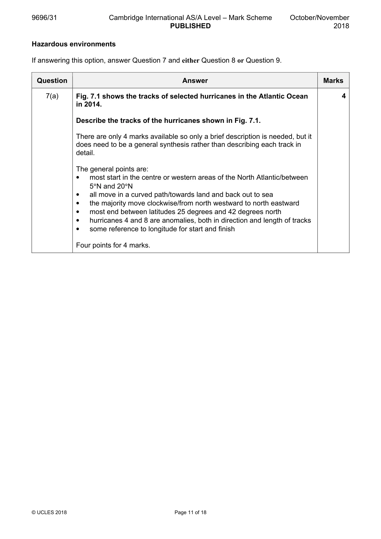
9696/31 Cambridge International AS/A Level – Mark Scheme PUBLISHED October/November 2018 © UCLES 2018 Page 11 of 18 Hazardous environments If answering this option, answer Question 7 and either Question 8 or Question 9. Question Answer Marks 7(a) Fig. 7.1 shows the tracks of selected hurricanes in the Atlantic Ocean in 2014. Describe the tracks of the hurricanes shown in Fig. 7.1. There are only 4 marks available so only a brief description is needed, but it does need to be a general synthesis rather than describing each track in detail. The general points are: • most start in the centre or western areas of the North Atlantic/between 5°N and 20°N • all move in a curved path/towards land and back out to sea • the majority move clockwise/from north westward to north eastward • most end between latitudes 25 degrees and 42 degrees north • hurricanes 4 and 8 are anomalies, both in direction and length of tracks • some reference to longitude for start and finish Four points for 4 marks. 4
Mark scheme, page 12
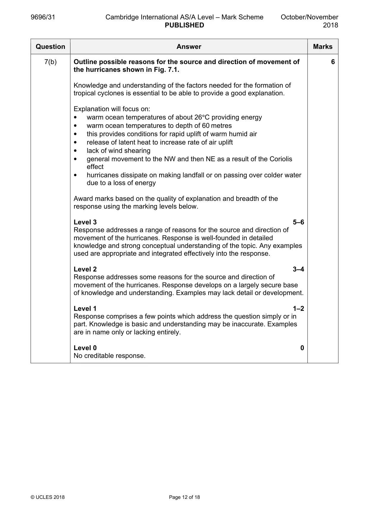
9696/31 Cambridge International AS/A Level – Mark Scheme PUBLISHED October/November 2018 © UCLES 2018 Page 12 of 18 Question Answer Marks 7(b) Outline possible reasons for the source and direction of movement of the hurricanes shown in Fig. 7.1. Knowledge and understanding of the factors needed for the formation of tropical cyclones is essential to be able to provide a good explanation. Explanation will focus on: • warm ocean temperatures of about 26°C providing energy • warm ocean temperatures to depth of 60 metres • this provides conditions for rapid uplift of warm humid air • release of latent heat to increase rate of air uplift • lack of wind shearing • general movement to the NW and then NE as a result of the Coriolis effect • hurricanes dissipate on making landfall or on passing over colder water due to a loss of energy Award marks based on the quality of explanation and breadth of the response using the marking levels below. Level 3 5–6 Response addresses a range of reasons for the source and direction of movement of the hurricanes. Response is well-founded in detailed knowledge and strong conceptual understanding of the topic. Any examples used are appropriate and integrated effectively into the response. Level 2 3–4 Response addresses some reasons for the source and direction of movement of the hurricanes. Response develops on a largely secure base of knowledge and understanding. Examples may lack detail or development. Level 1 1–2 Response comprises a few points which address the question simply or in part. Knowledge is basic and understanding may be inaccurate. Examples are in name only or lacking entirely. Level 0 0 No creditable response. 6
Mark scheme, page 13
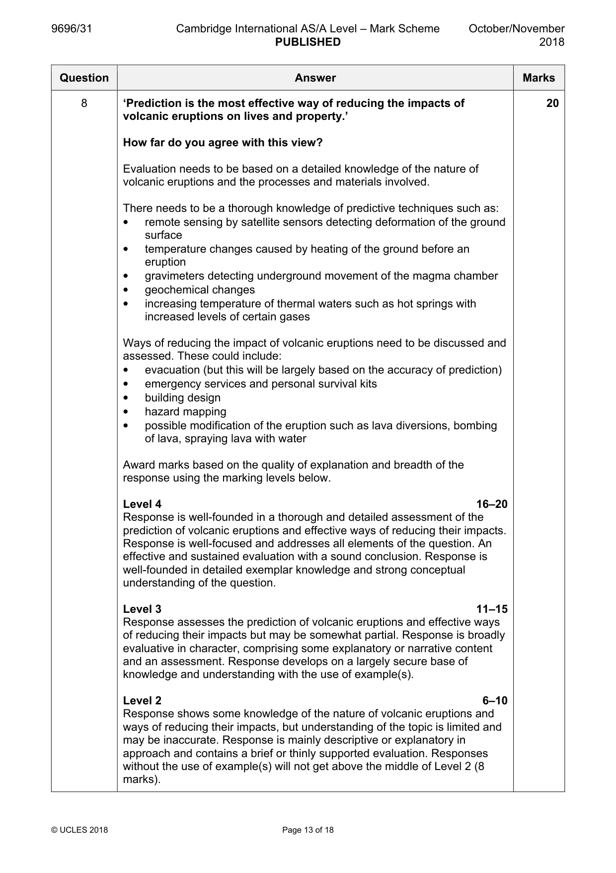
9696/31 Cambridge International AS/A Level – Mark Scheme PUBLISHED October/November 2018 © UCLES 2018 Page 13 of 18 Question Answer Marks 8 ‘Prediction is the most effective way of reducing the impacts of volcanic eruptions on lives and property.’ How far do you agree with this view? Evaluation needs to be based on a detailed knowledge of the nature of volcanic eruptions and the processes and materials involved. There needs to be a thorough knowledge of predictive techniques such as: • remote sensing by satellite sensors detecting deformation of the ground surface • temperature changes caused by heating of the ground before an eruption • gravimeters detecting underground movement of the magma chamber • geochemical changes • increasing temperature of thermal waters such as hot springs with increased levels of certain gases Ways of reducing the impact of volcanic eruptions need to be discussed and assessed. These could include: • evacuation (but this will be largely based on the accuracy of prediction) • emergency services and personal survival kits • building design • hazard mapping • possible modification of the eruption such as lava diversions, bombing of lava, spraying lava with water Award marks based on the quality of explanation and breadth of the response using the marking levels below. Level 4 16–20 Response is well-founded in a thorough and detailed assessment of the prediction of volcanic eruptions and effective ways of reducing their impacts. Response is well-focused and addresses all elements of the question. An effective and sustained evaluation with a sound conclusion. Response is well-founded in detailed exemplar knowledge and strong conceptual understanding of the question. Level 3 11–15 Response assesses the prediction of volcanic eruptions and effective ways of reducing their impacts but may be somewhat partial. Response is broadly evaluative in character, comprising some explanatory or narrative content and an assessment. Response develops on a largely secure base of knowledge and understanding with the use of example(s). Level 2 6–10 Response shows some knowledge of the nature of volcanic eruptions and ways of reducing their impacts, but understanding of the topic is limited and may be inaccurate. Response is mainly descriptive or explanatory in approach and contains a brief or thinly supported evaluation. Responses without the use of example(s) will not get above the middle of Level 2 (8 marks). 20
Mark scheme, page 14
9696/31 Cambridge International AS/A Level – Mark Scheme PUBLISHED October/November 2018 © UCLES 2018 Page 14 of 18 Question Answer Marks 8 Level 1 1–5 Response is mainly descriptive, comprising a few simple points. Knowledge is basic and understanding may be poor and lack relevance to the question set. Level 0 0 No creditable response.
Mark scheme, page 15
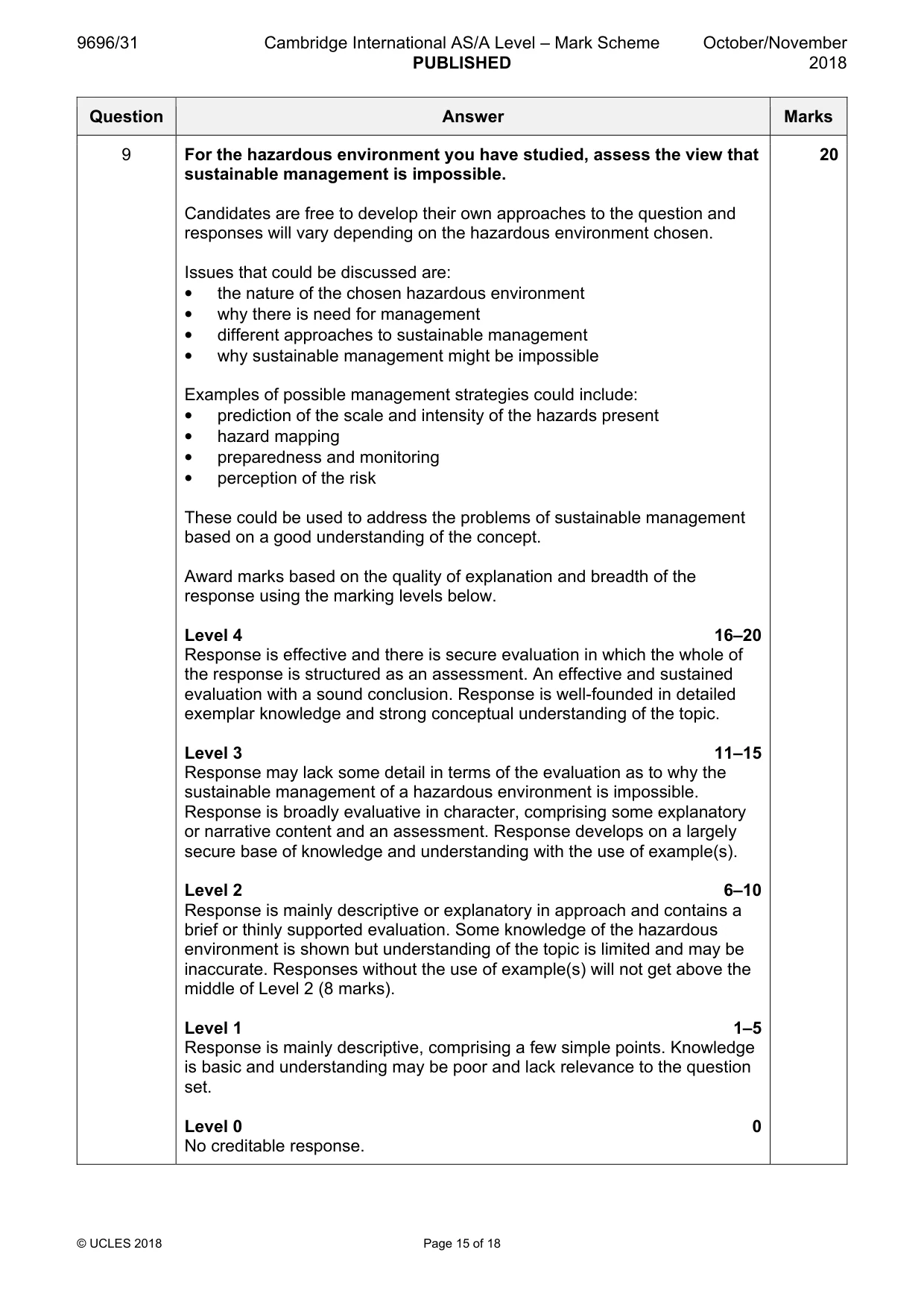
9696/31 Cambridge International AS/A Level – Mark Scheme PUBLISHED October/November 2018 © UCLES 2018 Page 15 of 18 Question Answer Marks 9 For the hazardous environment you have studied, assess the view that sustainable management is impossible. Candidates are free to develop their own approaches to the question and responses will vary depending on the hazardous environment chosen. Issues that could be discussed are: • the nature of the chosen hazardous environment • why there is need for management • different approaches to sustainable management • why sustainable management might be impossible Examples of possible management strategies could include: • prediction of the scale and intensity of the hazards present • hazard mapping • preparedness and monitoring • perception of the risk These could be used to address the problems of sustainable management based on a good understanding of the concept. Award marks based on the quality of explanation and breadth of the response using the marking levels below. Level 4 16–20 Response is effective and there is secure evaluation in which the whole of the response is structured as an assessment. An effective and sustained evaluation with a sound conclusion. Response is well-founded in detailed exemplar knowledge and strong conceptual understanding of the topic. Level 3 11–15 Response may lack some detail in terms of the evaluation as to why the sustainable management of a hazardous environment is impossible. Response is broadly evaluative in character, comprising some explanatory or narrative content and an assessment. Response develops on a largely secure base of knowledge and understanding with the use of example(s). Level 2 6–10 Response is mainly descriptive or explanatory in approach and contains a brief or thinly supported evaluation. Some knowledge of the hazardous environment is shown but understanding of the topic is limited and may be inaccurate. Responses without the use of example(s) will not get above the middle of Level 2 (8 marks). Level 1 1–5 Response is mainly descriptive, comprising a few simple points. Knowledge is basic and understanding may be poor and lack relevance to the question set. Level 0 0 No creditable response. 20
Mark scheme, page 16
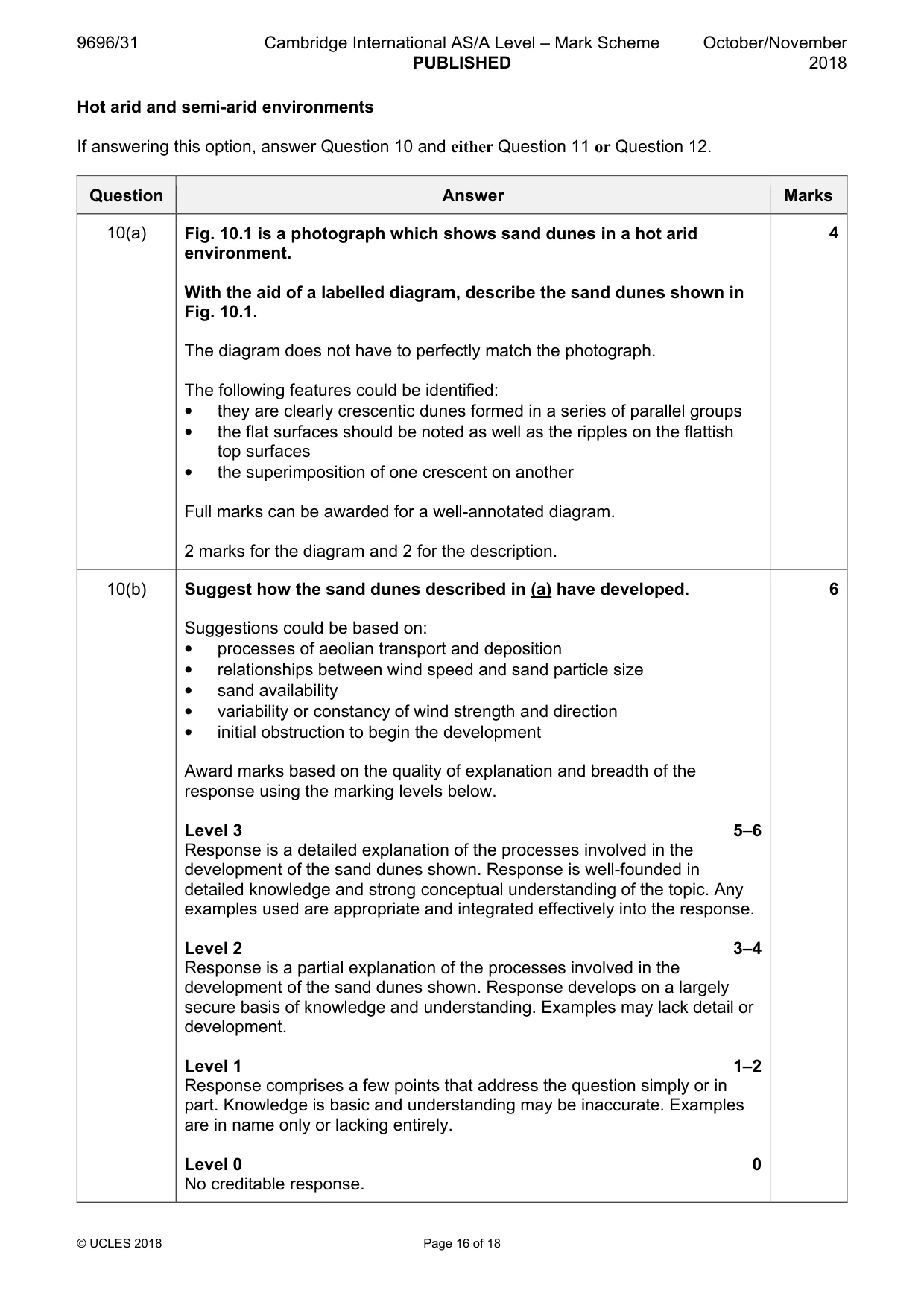
9696/31 Cambridge International AS/A Level – Mark Scheme PUBLISHED October/November 2018 © UCLES 2018 Page 16 of 18 Hot arid and semi-arid environments If answering this option, answer Question 10 and either Question 11 or Question 12. Question Answer Marks 10(a) Fig. 10.1 is a photograph which shows sand dunes in a hot arid environment. With the aid of a labelled diagram, describe the sand dunes shown in Fig. 10.1. The diagram does not have to perfectly match the photograph. The following features could be identified: • they are clearly crescentic dunes formed in a series of parallel groups • the flat surfaces should be noted as well as the ripples on the flattish top surfaces • the superimposition of one crescent on another Full marks can be awarded for a well-annotated diagram. 2 marks for the diagram and 2 for the description. 4 10(b) Suggest how the sand dunes described in (a) have developed. Suggestions could be based on: • processes of aeolian transport and deposition • relationships between wind speed and sand particle size • sand availability • variability or constancy of wind strength and direction • initial obstruction to begin the development Award marks based on the quality of explanation and breadth of the response using the marking levels below. Level 3 5–6 Response is a detailed explanation of the processes involved in the development of the sand dunes shown. Response is well-founded in detailed knowledge and strong conceptual understanding of the topic. Any examples used are appropriate and integrated effectively into the response. Level 2 3–4 Response is a partial explanation of the processes involved in the development of the sand dunes shown. Response develops on a largely secure basis of knowledge and understanding. Examples may lack detail or development. Level 1 1–2 Response comprises a few points that address the question simply or in part. Knowledge is basic and understanding may be inaccurate. Examples are in name only or lacking entirely. Level 0 0 No creditable response. 6
Mark scheme, page 17
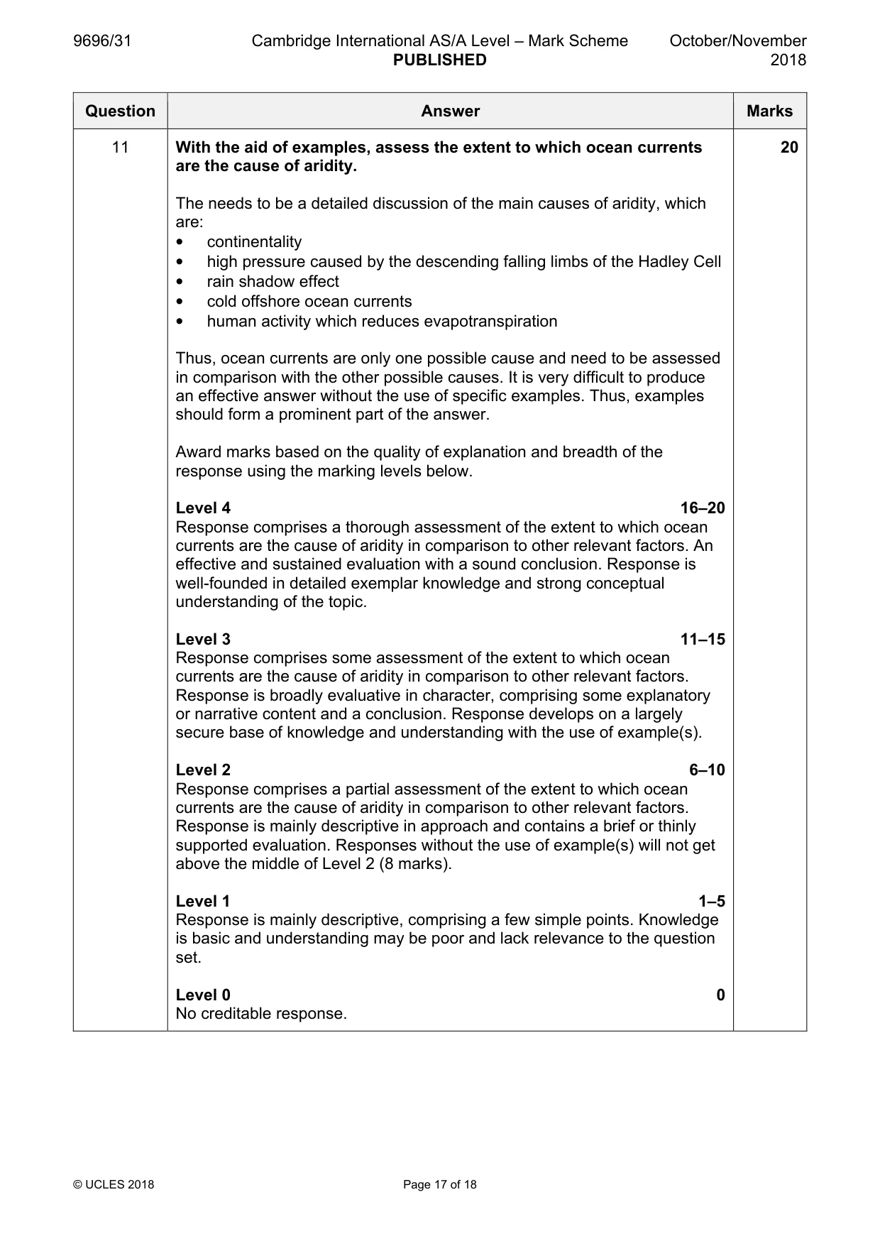
9696/31 Cambridge International AS/A Level – Mark Scheme PUBLISHED October/November 2018 © UCLES 2018 Page 17 of 18 Question Answer Marks 11 With the aid of examples, assess the extent to which ocean currents are the cause of aridity. The needs to be a detailed discussion of the main causes of aridity, which are: • continentality • high pressure caused by the descending falling limbs of the Hadley Cell • rain shadow effect • cold offshore ocean currents • human activity which reduces evapotranspiration Thus, ocean currents are only one possible cause and need to be assessed in comparison with the other possible causes. It is very difficult to produce an effective answer without the use of specific examples. Thus, examples should form a prominent part of the answer. Award marks based on the quality of explanation and breadth of the response using the marking levels below. Level 4 16–20 Response comprises a thorough assessment of the extent to which ocean currents are the cause of aridity in comparison to other relevant factors. An effective and sustained evaluation with a sound conclusion. Response is well-founded in detailed exemplar knowledge and strong conceptual understanding of the topic. Level 3 11–15 Response comprises some assessment of the extent to which ocean currents are the cause of aridity in comparison to other relevant factors. Response is broadly evaluative in character, comprising some explanatory or narrative content and a conclusion. Response develops on a largely secure base of knowledge and understanding with the use of example(s). Level 2 6–10 Response comprises a partial assessment of the extent to which ocean currents are the cause of aridity in comparison to other relevant factors. Response is mainly descriptive in approach and contains a brief or thinly supported evaluation. Responses without the use of example(s) will not get above the middle of Level 2 (8 marks). Level 1 1–5 Response is mainly descriptive, comprising a few simple points. Knowledge is basic and understanding may be poor and lack relevance to the question set. Level 0 0 No creditable response. 20
Mark scheme, page 18
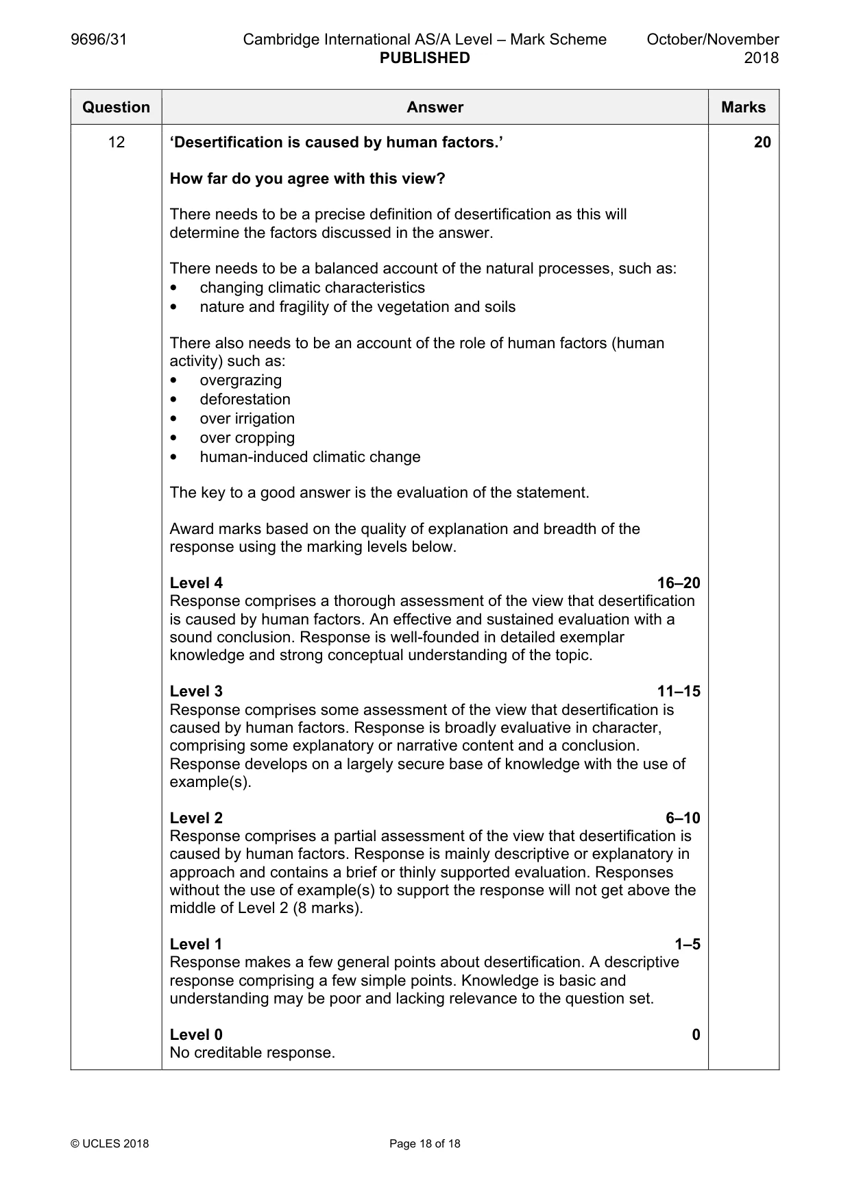
9696/31 Cambridge International AS/A Level – Mark Scheme PUBLISHED October/November 2018 © UCLES 2018 Page 18 of 18 Question Answer Marks 12 ‘Desertification is caused by human factors.’ How far do you agree with this view? There needs to be a precise definition of desertification as this will determine the factors discussed in the answer. There needs to be a balanced account of the natural processes, such as: • changing climatic characteristics • nature and fragility of the vegetation and soils There also needs to be an account of the role of human factors (human activity) such as: • overgrazing • deforestation • over irrigation • over cropping • human-induced climatic change The key to a good answer is the evaluation of the statement. Award marks based on the quality of explanation and breadth of the response using the marking levels below. Level 4 16–20 Response comprises a thorough assessment of the view that desertification is caused by human factors. An effective and sustained evaluation with a sound conclusion. Response is well-founded in detailed exemplar knowledge and strong conceptual understanding of the topic. Level 3 11–15 Response comprises some assessment of the view that desertification is caused by human factors. Response is broadly evaluative in character, comprising some explanatory or narrative content and a conclusion. Response develops on a largely secure base of knowledge with the use of example(s). Level 2 6–10 Response comprises a partial assessment of the view that desertification is caused by human factors. Response is mainly descriptive or explanatory in approach and contains a brief or thinly supported evaluation. Responses without the use of example(s) to support the response will not get above the middle of Level 2 (8 marks). Level 1 1–5 Response makes a few general points about desertification. A descriptive response comprising a few simple points. Knowledge is basic and understanding may be poor and lacking relevance to the question set. Level 0 0 No creditable response. 20
What you needed in this session
Cambridge’s own grade thresholds for 2018 Oct/Nov, Paper 3 · Variant 1. A higher threshold means an easier paper — the bar moves with how the cohort did.