Cambridge A Level Geography 9696 — 2018 Oct/Nov Paper 3 · Variant 2
9696/32/O/N/18 · 12 questions · 60 marks · ≈68 min
The question paper and its mark scheme, free to read here and free to download. This is Cambridge’s own paper, exactly as it was sat.
Question paper4 pages
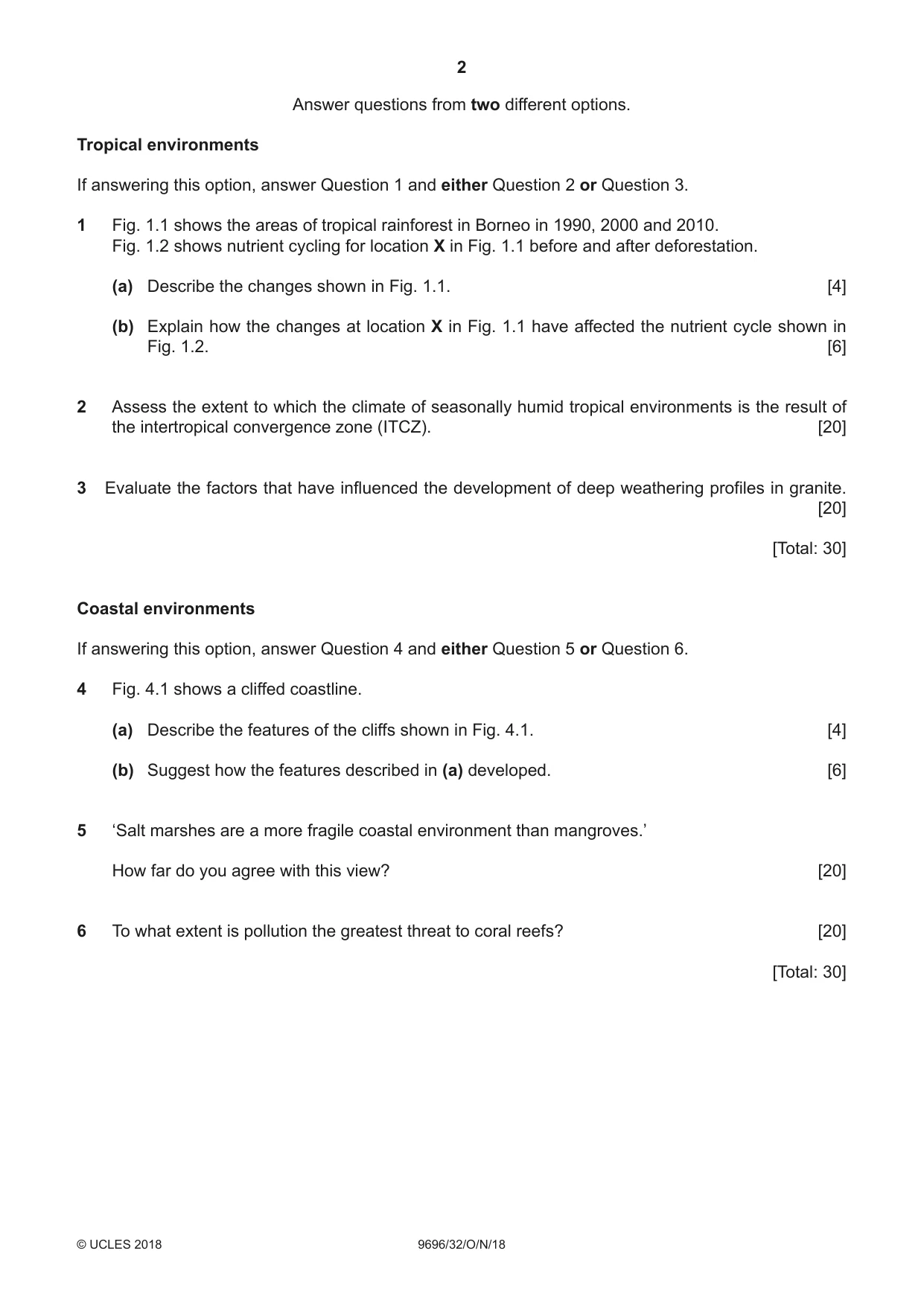

Mark scheme18 pages
Answers below. Sit the paper first if you are practising.


Questions as text
Q1 · The areas of tropical rainforest in Borneo in 1990, 2000 and 2010
1 Fig. 1.1 shows the areas of tropical rainforest in Borneo in 1990, 2000 and 2010. Fig. 1.2 shows nutrient cycling for location X in Fig. 1.1 before and after deforestation. (a) Describe the changes shown in Fig. 1.1. [4] (b) Explain how the changes at location X in Fig. 1.1 have affected the nutrient cycle shown in Fig. 1.2. [6]
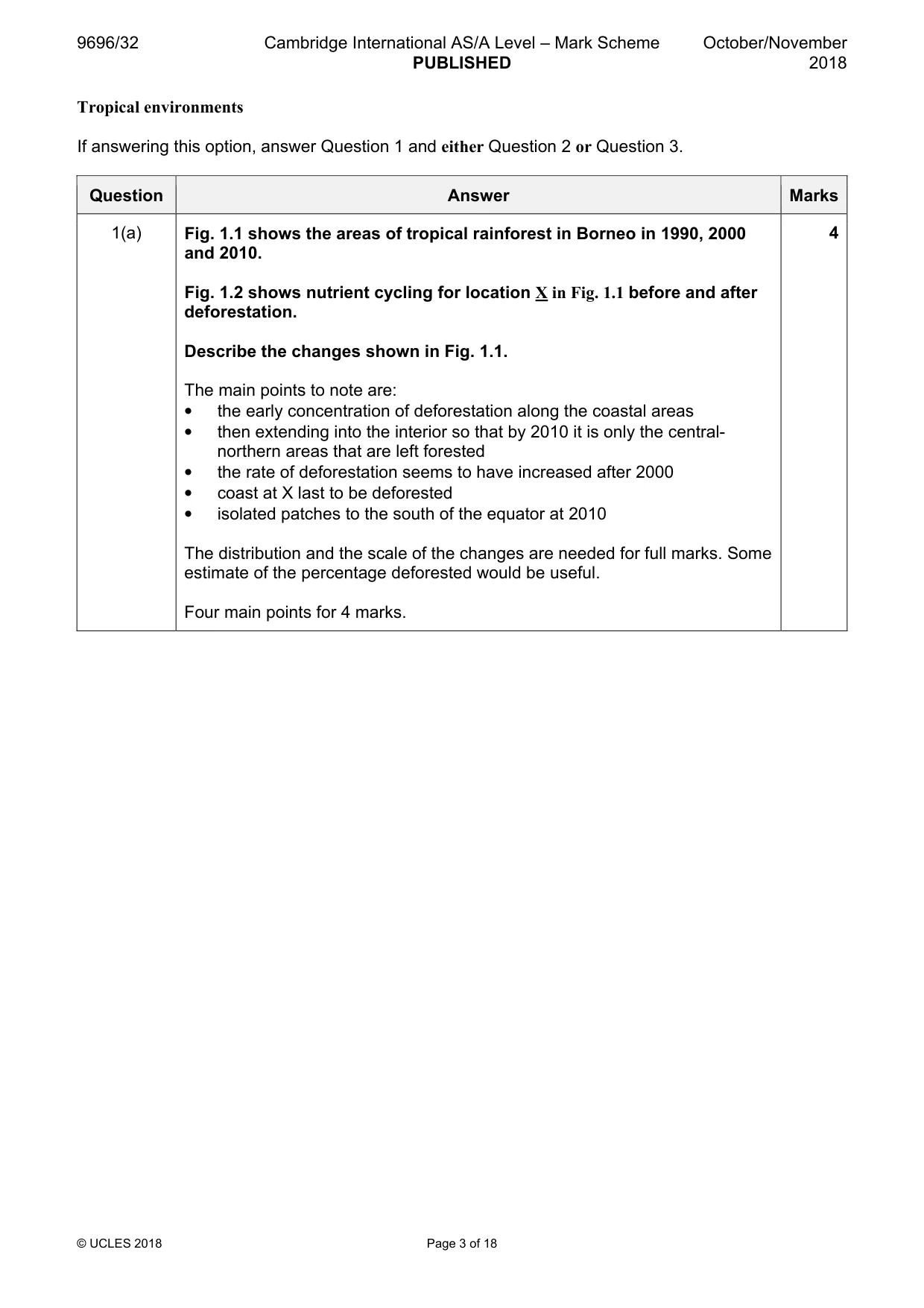
Mark scheme: Question Answer Marks 1(a) Fig. 1.1 shows the areas of tropical rainforest in Borneo in 1990, 2000 4 and 2010. Fig. 1.2 shows nutrient cycling for location X in Fig. 1.1 before and after deforestation. Describe the changes shown in Fig. 1.1. The main points to note are: • the early concentration of deforestation along the coastal areas • then extending into the interior so that by 2010 it is only the central- northern areas that are left forested • the rate of deforestation seems to have increased after 2000 • coast at X last to be deforested • isolated patches to the south of the equator at 2010 The distribution and the scale of the changes are needed for full marks. Some estimate of the percentage deforested would be useful. Four main points for 4 marks. 1(b) Explain how the changes at location X in Fig. 1.1 have affected the 6 nutrient cycle shown in Fig. 1.2. The major changes as shown in the Gershmel diagrams are: • a decrease in the size of the biomass • an increase in the loss by runoff • a decrease in the litter store • a slight decrease in the soil store • reduced flows in general between the main stores Explanation will be in terms of the reduced biomass as a result of deforestation which will have an influence on all the flows and stores. Runoff is increased because of a lack of cover and increased rainfall impact. Award marks based on the quality of explanation and breadth of response using the marking levels below. Level 3 5–6 Response addresses the question fully and is well-focused. There is good explanation of the changes shown in the diagram. Response is well-founded in detailed knowledge and strong conceptual understanding of the topic. Any examples used are appropriate and integrated effectively into the response. Level 2 3–4 Response is partial in addressing the question and focus is not maintained. Explanation is limited. Response develops on a largely secure basis of knowledge and understanding. Examples may lack detail or development. Level 1 1–2 Response comprises a few descriptive points with no explanation. Knowledge is basic and understanding may be inaccurate. Examples are in name only or lacking entirely. Level 0 0 No creditable response.
Q2 · Assess the extent to which the climate of seasonally humid tropical environments is the…
2 Assess the extent to which the climate of seasonally humid tropical environments is the result of the intertropical convergence zone (ITCZ). [20]
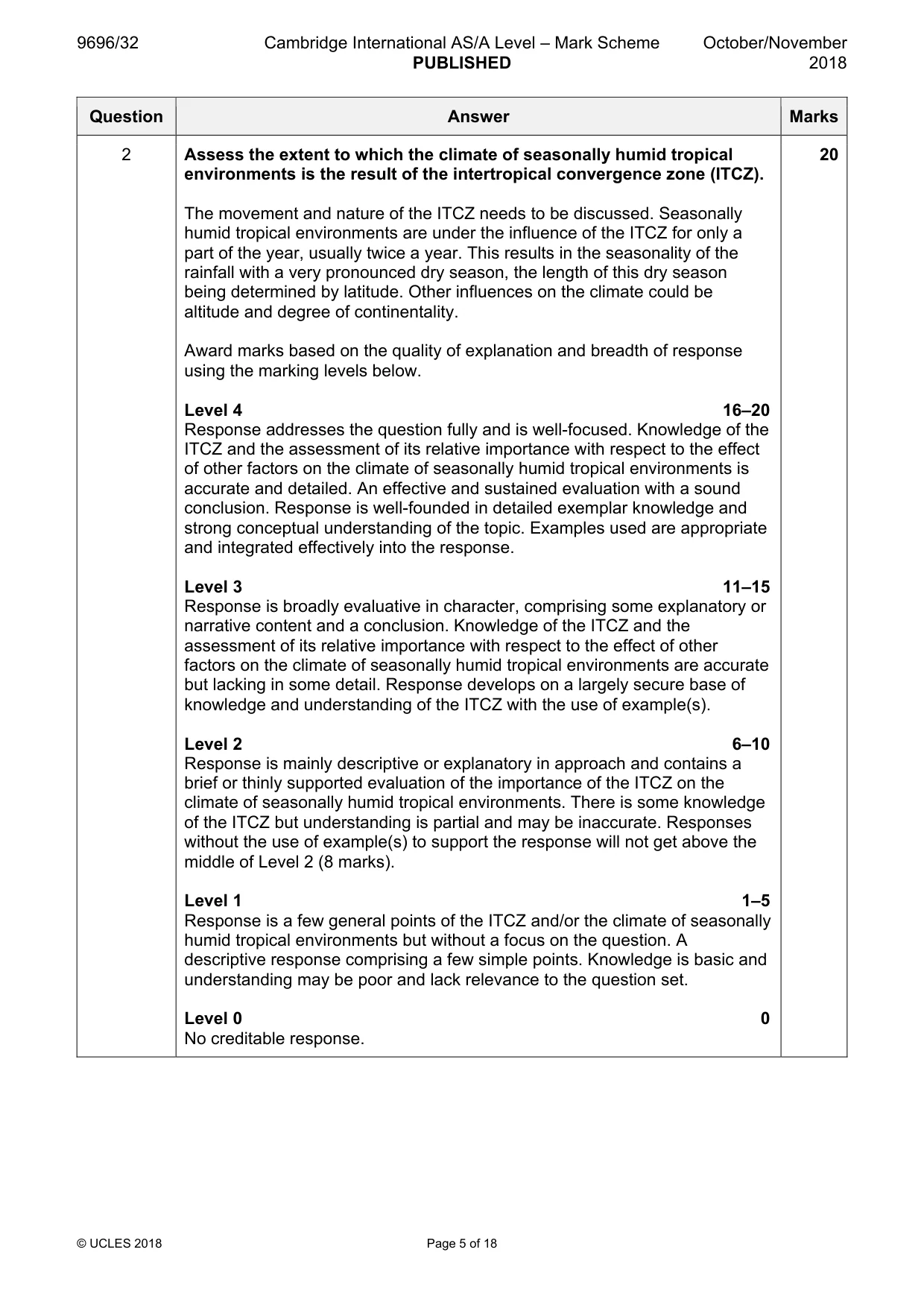
Mark scheme: 2 Assess the extent to which the climate of seasonally humid tropical 20 environments is the result of the intertropical convergence zone (ITCZ). The movement and nature of the ITCZ needs to be discussed. Seasonally humid tropical environments are under the influence of the ITCZ for only a part of the year, usually twice a year. This results in the seasonality of the rainfall with a very pronounced dry season, the length of this dry season being determined by latitude. Other influences on the climate could be altitude and degree of continentality. Award marks based on the quality of explanation and breadth of response using the marking levels below. Level 4 16–20 Response addresses the question fully and is well-focused. Knowledge of the ITCZ and the assessment of its relative importance with respect to the effect of other factors on the climate of seasonally humid tropical environments is accurate and detailed. An effective and sustained evaluation with a sound conclusion. Response is well-founded in detailed exemplar knowledge and strong conceptual understanding of the topic. Examples used are appropriate and integrated effectively into the response. Level 3 11–15 Response is broadly evaluative in character, comprising some explanatory or narrative content and a conclusion. Knowledge of the ITCZ and the assessment of its relative importance with respect to the effect of other factors on the climate of seasonally humid tropical environments are accurate but lacking in some detail. Response develops on a largely secure base of knowledge and understanding of the ITCZ with the use of example(s). Level 2 6–10 Response is mainly descriptive or explanatory in approach and contains a brief or thinly supported evaluation of the importance of the ITCZ on the climate of seasonally humid tropical environments. There is some knowledge of the ITCZ but understanding is partial and may be inaccurate. Responses without the use of example(s) to support the response will not get above the middle of Level 2 (8 marks). Level 1 1–5 Response is a few general points of the ITCZ and/or the climate of seasonally humid tropical environments but without a focus on the question. A descriptive response comprising a few simple points. Knowledge is basic and understanding may be poor and lack relevance to the question set. Level 0 0 No creditable response.
Q3 · Evaluate the factors that have influenced the development of deep weathering profiles in…
3 Evaluate the factors that have influenced the development of deep weathering profiles in granite. [20] [Total: 30] Coastal environments If answering this option, answer Question 4 and either Question 5 or Question 6.
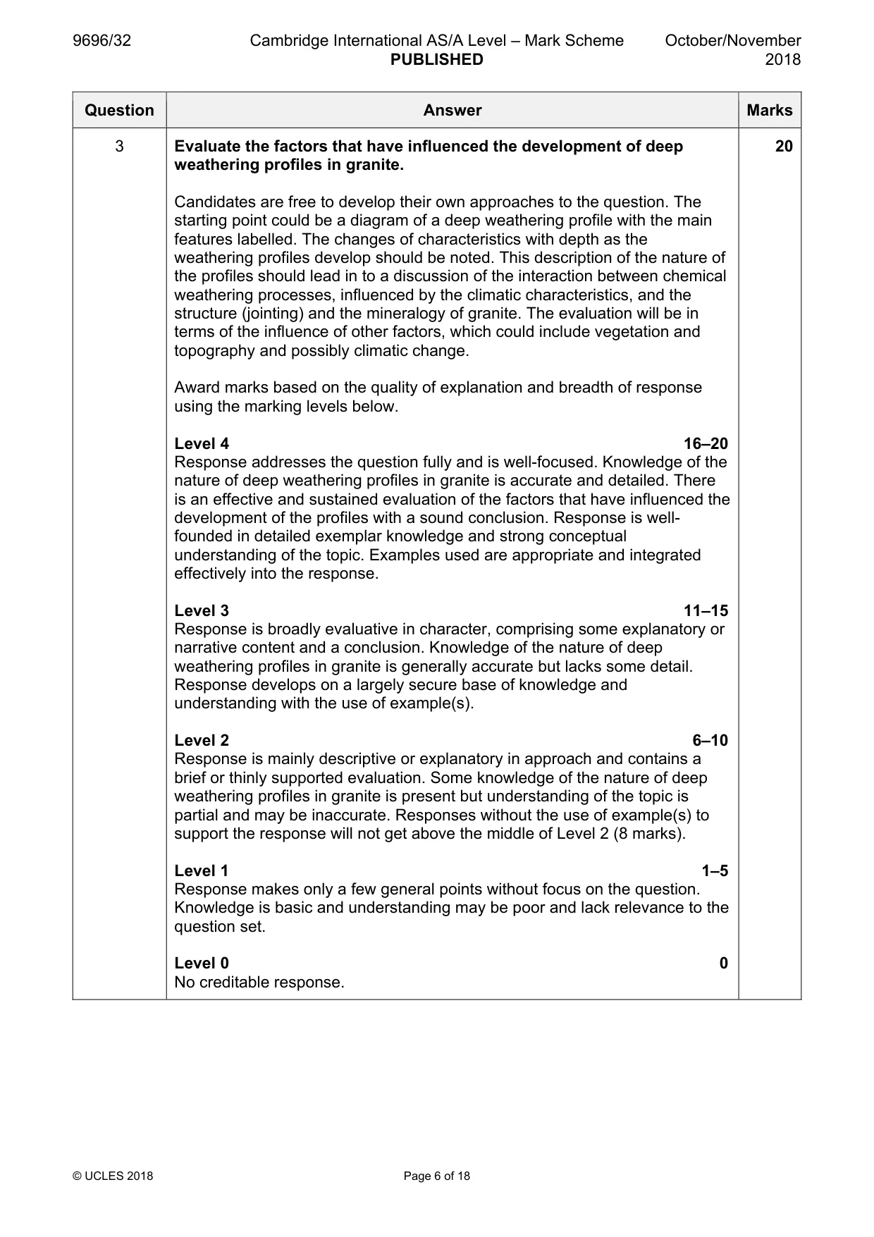
Mark scheme: 3 Evaluate the factors that have influenced the development of deep 20 weathering profiles in granite. Candidates are free to develop their own approaches to the question. The starting point could be a diagram of a deep weathering profile with the main features labelled. The changes of characteristics with depth as the weathering profiles develop should be noted. This description of the nature of the profiles should lead in to a discussion of the interaction between chemical weathering processes, influenced by the climatic characteristics, and the structure (jointing) and the mineralogy of granite. The evaluation will be in terms of the influence of other factors, which could include vegetation and topography and possibly climatic change. Award marks based on the quality of explanation and breadth of response using the marking levels below. Level 4 16–20 Response addresses the question fully and is well-focused. Knowledge of the nature of deep weathering profiles in granite is accurate and detailed. There is an effective and sustained evaluation of the factors that have influenced the development of the profiles with a sound conclusion. Response is well- founded in detailed exemplar knowledge and strong conceptual understanding of the topic. Examples used are appropriate and integrated effectively into the response. Level 3 11–15 Response is broadly evaluative in character, comprising some explanatory or narrative content and a conclusion. Knowledge of the nature of deep weathering profiles in granite is generally accurate but lacks some detail. Response develops on a largely secure base of knowledge and understanding with the use of example(s). Level 2 6–10 Response is mainly descriptive or explanatory in approach and contains a brief or thinly supported evaluation. Some knowledge of the nature of deep weathering profiles in granite is present but understanding of the topic is partial and may be inaccurate. Responses without the use of example(s) to support the response will not get above the middle of Level 2 (8 marks). Level 1 1–5 Response makes only a few general points without focus on the question. Knowledge is basic and understanding may be poor and lack relevance to the question set. Level 0 0 No creditable response. Coastal environments If answering this option, answer Question 4 and either Question 5 or Question 6.
Question 4
4 Fig. 4.1 shows a cliffed coastline. (a) Describe the features of the cliffs shown in Fig. 4.1. [4] (b) Suggest how the features described in (a) developed. [6]
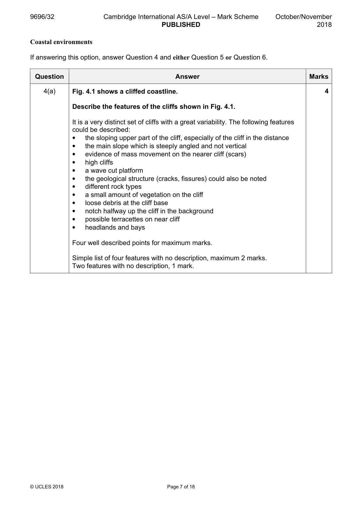
Mark scheme: 4(a) Fig. 4.1 shows a cliffed coastline. 4 Describe the features of the cliffs shown in Fig. 4.1. It is a very distinct set of cliffs with a great variability. The following features could be described: • the sloping upper part of the cliff, especially of the cliff in the distance • the main slope which is steeply angled and not vertical • evidence of mass movement on the nearer cliff (scars) • high cliffs • a wave cut platform • the geological structure (cracks, fissures) could also be noted • different rock types • a small amount of vegetation on the cliff • loose debris at the cliff base • notch halfway up the cliff in the background • possible terracettes on near cliff • headlands and bays Four well described points for maximum marks. Simple list of four features with no description, maximum 2 marks. Two features with no description, 1 mark. 4(b) Suggest how the features described in (a) developed. 6 The answer should focus on the nature and action of marine and sub-aerial processes on the features noted in (a) with the influence of the rock structure playing a prominent part. The emphasis will probably be on marine processes, but there is evidence of sub-aerial processes (mass movement) and these should be discussed. Award marks based on the quality of explanation and breadth of response using the marking levels below. Level 3 5–6 Response applies knowledge and understanding of the features described and convincingly explains their development. Response is well-founded in detailed knowledge and strong conceptual understanding of the processes involved in the development of the features. Any examples used are appropriate and integrated effectively into the response. Level 2 3–4 Response offers some explanation for the development of the features but may be unbalanced or limited. Response develops on a largely secure basis of knowledge and understanding. Examples may lack detail or development. Level 1 1–2 Response comprises a few points that address the question simply or in part. Knowledge is basic and understanding may be inaccurate. Examples are in name only or lacking entirely. Level 0 0 No creditable response.
Q5 · ‘Salt marshes are a more fragile coastal environment than mangroves.’ How far do you…
5 ‘Salt marshes are a more fragile coastal environment than mangroves.’ How far do you agree with this view? [20]
Mark scheme: 5 ‘Salt marshes are a more fragile coastal environment than mangroves.’ 20 How far do you agree with this view? Candidates are free to develop their own approach to the question. Both salt marshes and mangroves form best in sheltered areas, thus any change in the degree of shelter will not only hinder growth and development but could lead to severe erosion and the removal of the features entirely. Knowledge and understanding of the factors that influence the development of salt marshes and mangroves are needed to form the basis of a good answer. Award marks based on the quality of explanation and breadth of response using the marking levels below. Level 4 16–20 Response addresses the question fully and is well-focused. Knowledge of the nature of salt marshes and mangroves and the reasons for their fragility are accurate and detailed. There is an effective and sustained evaluation of their fragility based on accurate knowledge and strong understanding. Response is well-founded in detailed exemplar knowledge and strong conceptual understanding of the topic. Level 3 11–15 Response is broadly evaluative in character, comprising some explanatory account and an assessment. Knowledge of the nature of salt marshes and mangroves and the reasons for their fragility are generally accurate but limited in some respects. Response develops on a largely secure base of knowledge and understanding with the use of example(s). Level 2 6–10 Response is mainly descriptive or explanatory in approach and contains a brief or thinly supported evaluation. Some knowledge of salt marshes and mangroves is shown but understanding of the topic is partial and may be inaccurate. Responses without the use of example(s) to support the response will not get above the middle of Level 2 (8 marks). Level 1 1–5 Response is mainly descriptive, comprising a few simple points. Knowledge is basic and understanding may be poor and lack relevance to the question set. Level 0 0 No creditable response.
Q6 · To what extent is pollution the greatest threat to coral reefs?
6 To what extent is pollution the greatest threat to coral reefs? [20] [Total: 30] Hazardous environments If answering this option, answer Question 7 and either Question 8 or Question 9.
Mark scheme: 6 To what extent is pollution the greatest threat to coral reefs? 20 The response must be underpinned by a thorough understanding of the conditions necessary for coral growth and development. This will include depth of water, temperature, salinity, acidity of the water, oxygenated and clean water. Pollution (e.g. sewage, fertilisers, oil spills, plastics, sediment) will affect some of these conditions but there will be other influences of these conditions. There are two ways of answering this question depending on whether greenhouse gases are considered as pollution. The response thus needs to evaluate the effect of pollution as against other threats. Award marks based on the quality of explanation and breadth of response using the marking levels below. Level 4 16–20 Response addresses the question fully and is well-focused. Knowledge of the conditions for coral growth is accurate and detailed. An effective and sustained evaluation with a sound conclusion. Response is well-founded in detailed exemplar knowledge and strong conceptual understanding of the topic. Level 3 11–15 Response is broadly evaluative in character, comprising some explanatory or narrative content and a conclusion. Response develops on a largely secure base of knowledge and understanding with the use of example(s). Level 2 6–10 Response demonstrates some knowledge and understanding of the threats to corals but is mainly descriptive in approach and contains a brief or thinly supported evaluation. Some knowledge of the threats to corals is shown but understanding of the topic is partial and may be inaccurate. Responses without the use of example(s) to support the response will not get above the middle of Level 2 (8 marks). Level 1 1–5 Response is mainly descriptive, comprising a few simple points. Knowledge is basic and understanding of the threats to coral may be poor and lack relevance to the question set. Evaluation of the threats will be poor. Level 0 0 No creditable response. Hazardous environments If answering this option, answer Question 7 and either Question 8 or Question 9.
Q7 · A photograph which shows a mass movement
7 Fig. 7.1 is a photograph which shows a mass movement. (a) With the aid of a labelled diagram, describe the characteristics of the mass movement shown in Fig. 7.1. [4] (b) Suggest the impacts on lives and property of the mass movement shown in Fig. 7.1. [6]
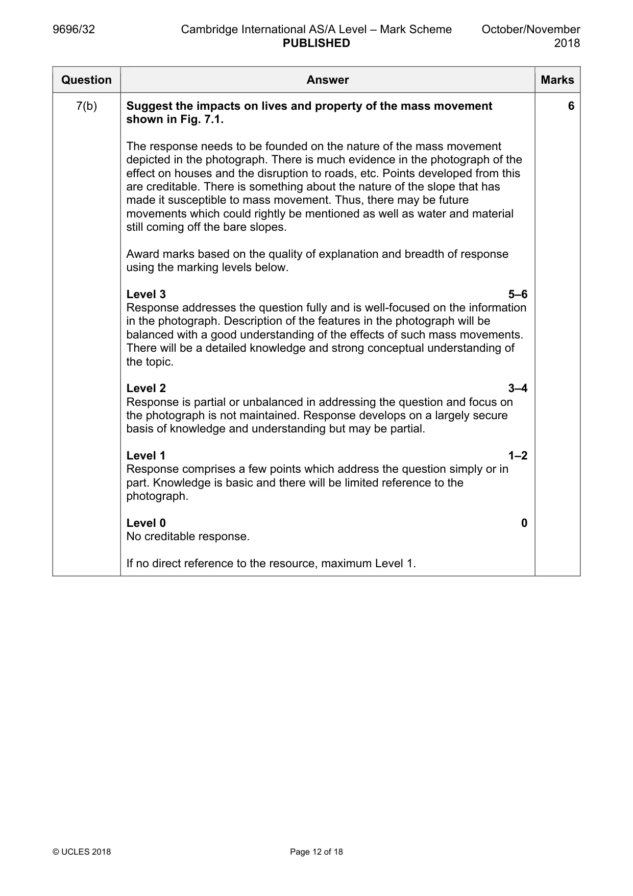
Mark scheme: 7(a) Fig. 7.1 is a photograph which shows a mass movement. 4 With the aid of a labelled diagram, describe the characteristics of the mass movement shown in Fig. 7.1. The diagram does not have to perfectly match the photograph but should not be a stylised, theoretical model. The following features could be expected: • long, narrow slide (debris slide/flow in weathered rock) • clear head scar • starts from a track • goes across roads and through houses • deforested slope but some sort of cultivation • debris on flow/slide track Features which may be labelled on the mass movement include: • the debris track • the head scar • steep slope 2 marks for diagram and accurate labels. 2 marks for the description. Full marks could be awarded for a well-annotated diagram. If no diagram, maximum 2 marks. 7(b) Suggest the impacts on lives and property of the mass movement 6 shown in Fig. 7.1. The response needs to be founded on the nature of the mass movement depicted in the photograph. There is much evidence in the photograph of the effect on houses and the disruption to roads, etc. Points developed from this are creditable. There is something about the nature of the slope that has made it susceptible to mass movement. Thus, there may be future movements which could rightly be mentioned as well as water and material still coming off the bare slopes. Award marks based on the quality of explanation and breadth of response using the marking levels below. Level 3 5–6 Response addresses the question fully and is well-focused on the information in the photograph. Description of the features in the photograph will be balanced with a good understanding of the effects of such mass movements. There will be a detailed knowledge and strong conceptual understanding of the topic. Level 2 3–4 Response is partial or unbalanced in addressing the question and focus on the photograph is not maintained. Response develops on a largely secure basis of knowledge and understanding but may be partial. Level 1 1–2 Response comprises a few points which address the question simply or in part. Knowledge is basic and there will be limited reference to the photograph. Level 0 0 No creditable response. If no direct reference to the resource, maximum Level 1.
Q8 · Assess the effectiveness of attempts to reduce the hazardous impacts of large scale…
8 Assess the effectiveness of attempts to reduce the hazardous impacts of large scale tropical disturbances (cyclones, hurricanes, typhoons). [20]
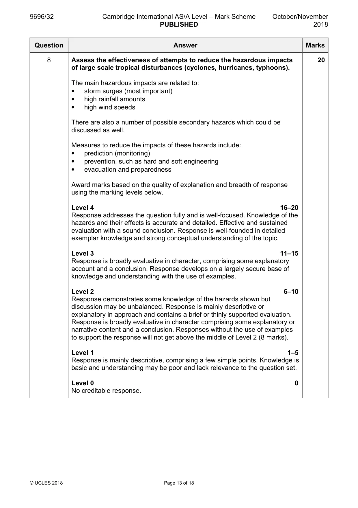
Mark scheme: 8 Assess the effectiveness of attempts to reduce the hazardous impacts 20 of large scale tropical disturbances (cyclones, hurricanes, typhoons). The main hazardous impacts are related to: • storm surges (most important) • high rainfall amounts • high wind speeds There are also a number of possible secondary hazards which could be discussed as well. Measures to reduce the impacts of these hazards include: • prediction (monitoring) • prevention, such as hard and soft engineering • evacuation and preparedness Award marks based on the quality of explanation and breadth of response using the marking levels below. Level 4 16–20 Response addresses the question fully and is well-focused. Knowledge of the hazards and their effects is accurate and detailed. Effective and sustained evaluation with a sound conclusion. Response is well-founded in detailed exemplar knowledge and strong conceptual understanding of the topic. Level 3 11–15 Response is broadly evaluative in character, comprising some explanatory account and a conclusion. Response develops on a largely secure base of knowledge and understanding with the use of examples. Level 2 6–10 Response demonstrates some knowledge of the hazards shown but discussion may be unbalanced. Response is mainly descriptive or explanatory in approach and contains a brief or thinly supported evaluation. Response is broadly evaluative in character comprising some explanatory or narrative content and a conclusion. Responses without the use of examples to support the response will not get above the middle of Level 2 (8 marks). Level 1 1–5 Response is mainly descriptive, comprising a few simple points. Knowledge is basic and understanding may be poor and lack relevance to the question set. Level 0 0 No creditable response.
Q9 · ‘Earthquakes are difficult to predict but their impacts can be reduced.’ How far do you…
9 ‘Earthquakes are difficult to predict but their impacts can be reduced.’ How far do you agree with this view? [20] [Total: 30] Hot arid and semi-arid environments If answering this option, answer Question 10 and either Question 11 or Question 12.
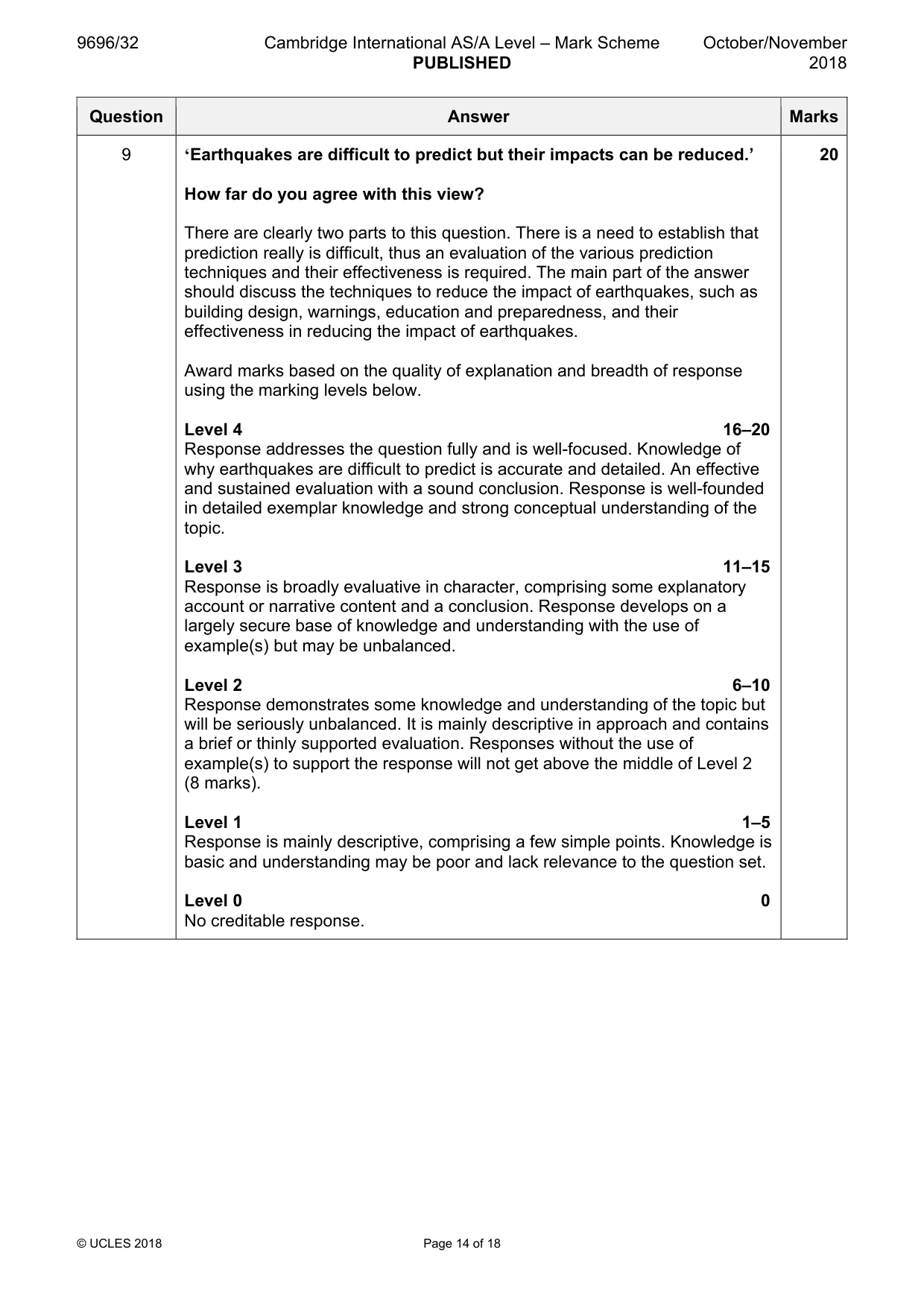
Mark scheme: 9 ‘Earthquakes are difficult to predict but their impacts can be reduced.’ 20 How far do you agree with this view? There are clearly two parts to this question. There is a need to establish that prediction really is difficult, thus an evaluation of the various prediction techniques and their effectiveness is required. The main part of the answer should discuss the techniques to reduce the impact of earthquakes, such as building design, warnings, education and preparedness, and their effectiveness in reducing the impact of earthquakes. Award marks based on the quality of explanation and breadth of response using the marking levels below. Level 4 16–20 Response addresses the question fully and is well-focused. Knowledge of why earthquakes are difficult to predict is accurate and detailed. An effective and sustained evaluation with a sound conclusion. Response is well-founded in detailed exemplar knowledge and strong conceptual understanding of the topic. Level 3 11–15 Response is broadly evaluative in character, comprising some explanatory account or narrative content and a conclusion. Response develops on a largely secure base of knowledge and understanding with the use of example(s) but may be unbalanced. Level 2 6–10 Response demonstrates some knowledge and understanding of the topic but will be seriously unbalanced. It is mainly descriptive in approach and contains a brief or thinly supported evaluation. Responses without the use of example(s) to support the response will not get above the middle of Level 2 (8 marks). Level 1 1–5 Response is mainly descriptive, comprising a few simple points. Knowledge is basic and understanding may be poor and lack relevance to the question set. Level 0 0 No creditable response. Hot arid and semi-arid environments If answering this option, answer Question 10 and either Question 11 or Question 12.
Q10 · The global distribution of hot arid areas
10 Fig. 10.1 shows the global distribution of hot arid areas. (a) Describe the distribution of hot arid areas shown in Fig. 10.1. [4] (b) Briefly explain the possible causes of aridity at location Y and location Z in Fig. 10.1. [6]
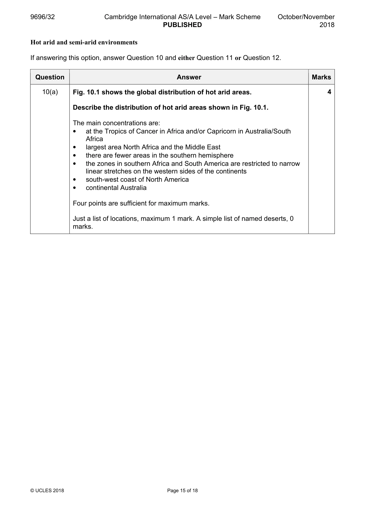
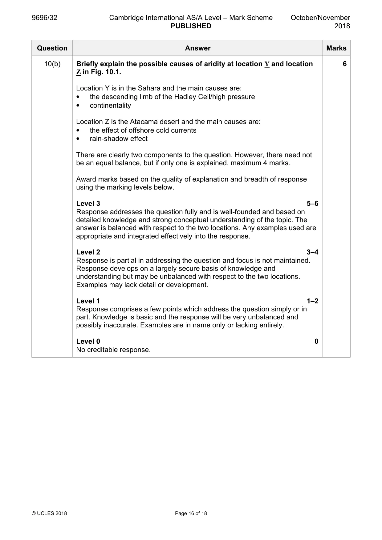
Mark scheme: 10(a) Fig. 10.1 shows the global distribution of hot arid areas. 4 Describe the distribution of hot arid areas shown in Fig. 10.1. The main concentrations are: • at the Tropics of Cancer in Africa and/or Capricorn in Australia/South Africa • largest area North Africa and the Middle East • there are fewer areas in the southern hemisphere • the zones in southern Africa and South America are restricted to narrow linear stretches on the western sides of the continents • south-west coast of North America • continental Australia Four points are sufficient for maximum marks. Just a list of locations, maximum 1 mark. A simple list of named deserts, 0 marks. 10(b) Briefly explain the possible causes of aridity at location Y and location 6 Z in Fig. 10.1. Location Y is in the Sahara and the main causes are: • the descending limb of the Hadley Cell/high pressure • continentality Location Z is the Atacama desert and the main causes are: • the effect of offshore cold currents • rain-shadow effect There are clearly two components to the question. However, there need not be an equal balance, but if only one is explained, maximum 4 marks. Award marks based on the quality of explanation and breadth of response using the marking levels below. Level 3 5–6 Response addresses the question fully and is well-founded and based on detailed knowledge and strong conceptual understanding of the topic. The answer is balanced with respect to the two locations. Any examples used are appropriate and integrated effectively into the response. Level 2 3–4 Response is partial in addressing the question and focus is not maintained. Response develops on a largely secure basis of knowledge and understanding but may be unbalanced with respect to the two locations. Examples may lack detail or development. Level 1 1–2 Response comprises a few points which address the question simply or in part. Knowledge is basic and the response will be very unbalanced and possibly inaccurate. Examples are in name only or lacking entirely. Level 0 0 No creditable response.
Q11 · Assess the extent to which the landforms of hot arid environments are features of past…
11 Assess the extent to which the landforms of hot arid environments are features of past climates. [20]
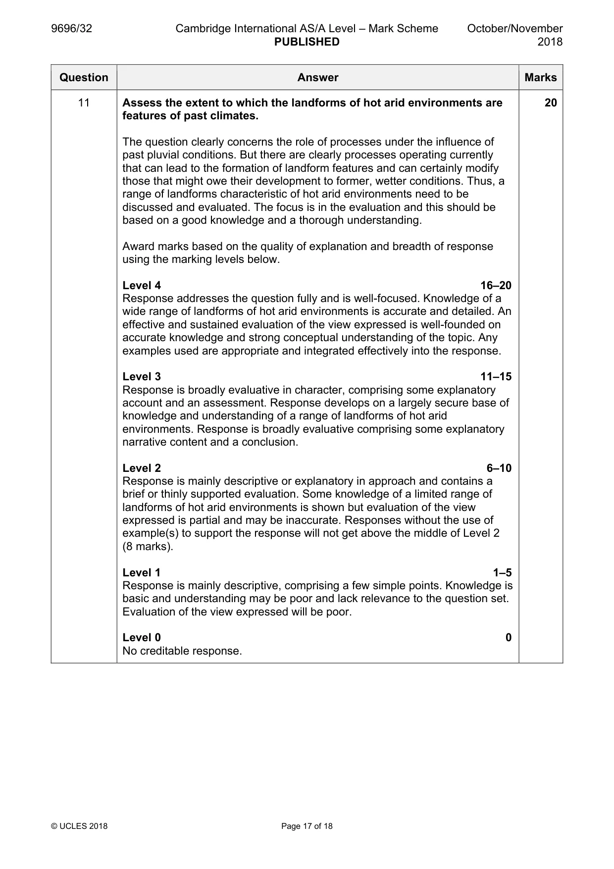
Mark scheme: 11 Assess the extent to which the landforms of hot arid environments are 20 features of past climates. The question clearly concerns the role of processes under the influence of past pluvial conditions. But there are clearly processes operating currently that can lead to the formation of landform features and can certainly modify those that might owe their development to former, wetter conditions. Thus, a range of landforms characteristic of hot arid environments need to be discussed and evaluated. The focus is in the evaluation and this should be based on a good knowledge and a thorough understanding. Award marks based on the quality of explanation and breadth of response using the marking levels below. Level 4 16–20 Response addresses the question fully and is well-focused. Knowledge of a wide range of landforms of hot arid environments is accurate and detailed. An effective and sustained evaluation of the view expressed is well-founded on accurate knowledge and strong conceptual understanding of the topic. Any examples used are appropriate and integrated effectively into the response. Level 3 11–15 Response is broadly evaluative in character, comprising some explanatory account and an assessment. Response develops on a largely secure base of knowledge and understanding of a range of landforms of hot arid environments. Response is broadly evaluative comprising some explanatory narrative content and a conclusion. Level 2 6–10 Response is mainly descriptive or explanatory in approach and contains a brief or thinly supported evaluation. Some knowledge of a limited range of landforms of hot arid environments is shown but evaluation of the view expressed is partial and may be inaccurate. Responses without the use of example(s) to support the response will not get above the middle of Level 2 (8 marks). Level 1 1–5 Response is mainly descriptive, comprising a few simple points. Knowledge is basic and understanding may be poor and lack relevance to the question set. Evaluation of the view expressed will be poor. Level 0 0 No creditable response.
Q12 · Describe the problems of sustainably managing either a hot arid or a semi-arid…
12 Describe the problems of sustainably managing either a hot arid or a semi-arid environment and evaluate solutions to these problems. [20] [Total: 30]
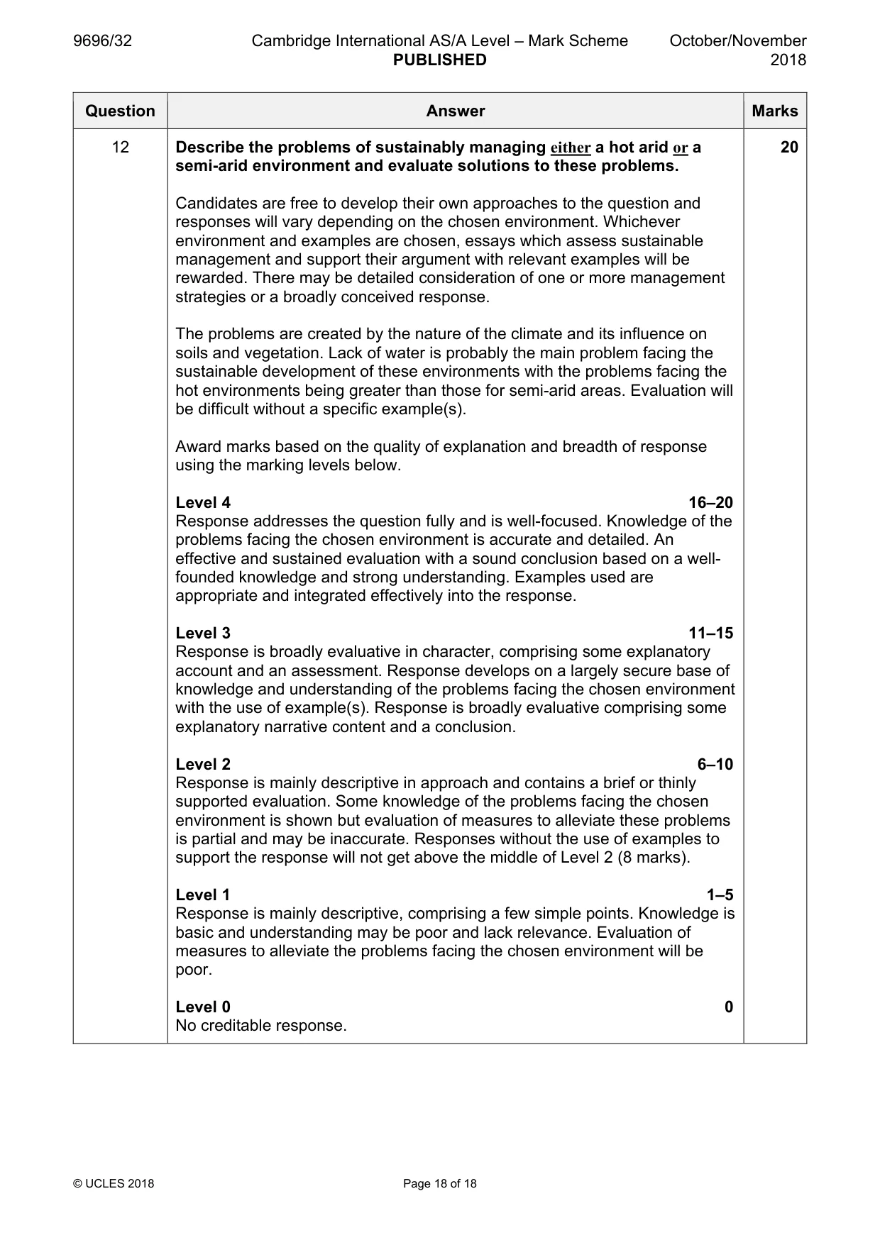
Mark scheme: 12 Describe the problems of sustainably managing either a hot arid or a 20 semi-arid environment and evaluate solutions to these problems. Candidates are free to develop their own approaches to the question and responses will vary depending on the chosen environment. Whichever environment and examples are chosen, essays which assess sustainable management and support their argument with relevant examples will be rewarded. There may be detailed consideration of one or more management strategies or a broadly conceived response. The problems are created by the nature of the climate and its influence on soils and vegetation. Lack of water is probably the main problem facing the sustainable development of these environments with the problems facing the hot environments being greater than those for semi-arid areas. Evaluation will be difficult without a specific example(s). Award marks based on the quality of explanation and breadth of response using the marking levels below. Level 4 16–20 Response addresses the question fully and is well-focused. Knowledge of the problems facing the chosen environment is accurate and detailed. An effective and sustained evaluation with a sound conclusion based on a well- founded knowledge and strong understanding. Examples used are appropriate and integrated effectively into the response. Level 3 11–15 Response is broadly evaluative in character, comprising some explanatory account and an assessment. Response develops on a largely secure base of knowledge and understanding of the problems facing the chosen environment with the use of example(s). Response is broadly evaluative comprising some explanatory narrative content and a conclusion. Level 2 6–10 Response is mainly descriptive in approach and contains a brief or thinly supported evaluation. Some knowledge of the problems facing the chosen environment is shown but evaluation of measures to alleviate these problems is partial and may be inaccurate. Responses without the use of examples to support the response will not get above the middle of Level 2 (8 marks). Level 1 1–5 Response is mainly descriptive, comprising a few simple points. Knowledge is basic and understanding may be poor and lack relevance. Evaluation of measures to alleviate the problems facing the chosen environment will be poor. Level 0 0 No creditable response.
What was in this paper
The subtopics covered by these 12 questions, and how many questions each got. Open one in a new tab to see every Cambridge question on it.
2Characteristics and formation of coastal landforms1Coral reefs1Hazards resulting from mass movements1Hot arid and semi-arid climates1Humid tropical (rainforest) ecosystems and seasonally humid tropical (savanna) ecosystems1Landforms of hot arid and semi-arid environments1Sustainable management of coasts1Sustainable management of hot arid and semi-arid environments1Tropical climates1Weathering1What you needed in this session
Cambridge’s own grade thresholds for 2018 Oct/Nov, Paper 3 · Variant 2. A higher threshold means an easier paper — the bar moves with how the cohort did.