Cambridge A Level Geography 9696 — 2017 May/June Paper 2 · Variant 1
9696/21/M/J/17 · 8 questions · 50 marks · ≈56 min
The question paper and its mark scheme, free to read here and free to download. This is Cambridge’s own paper, exactly as it was sat.
Question paper4 pages

Mark scheme17 pages
Answers below. Sit the paper first if you are practising.
Questions as text
Q1 · The process of plant succession
1 (a) Fig. 1 shows the process of plant succession. Using Fig. 1, describe the process of plant succession in either a tropical rainforest or a savanna ecosystem. [10] (b) Describe the characteristics of tropical air masses. To what extent do the characteristics of tropical air masses contribute to the development of tropical climates? [15]
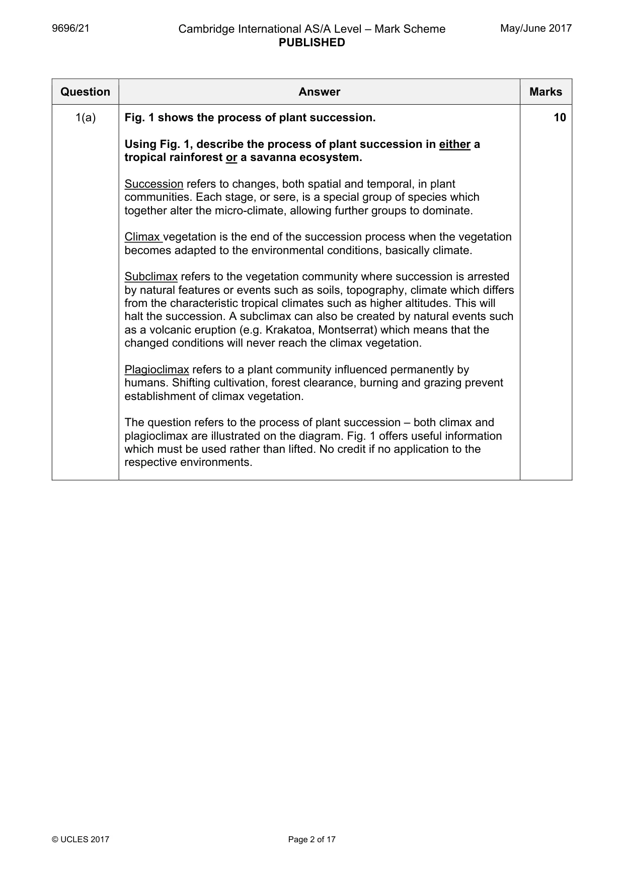
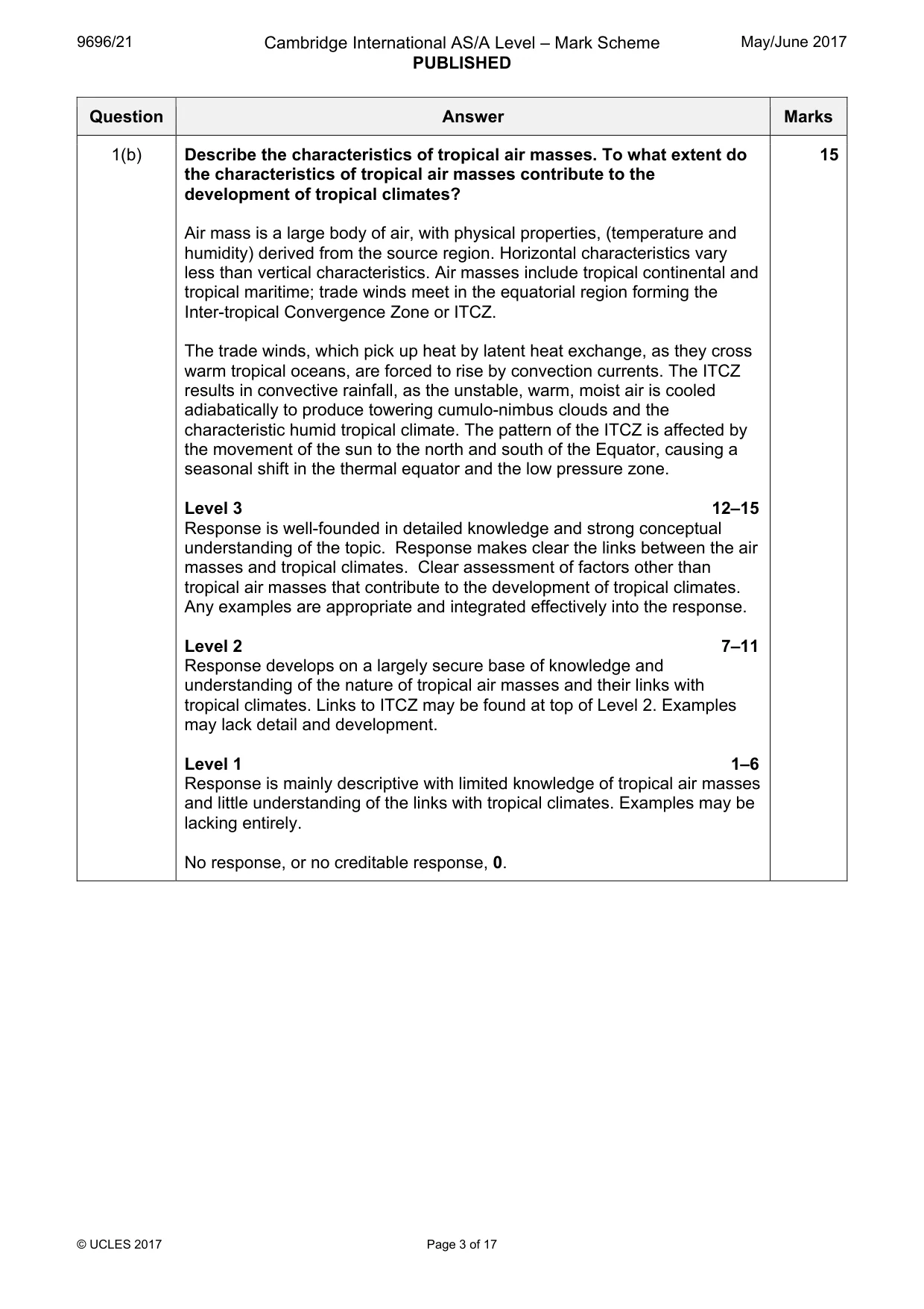
Mark scheme: Question Answer Marks 1(a) Fig. 1 shows the process of plant succession. 10 Using Fig. 1, describe the process of plant succession in either a tropical rainforest or a savanna ecosystem. Succession refers to changes, both spatial and temporal, in plant communities. Each stage, or sere, is a special group of species which together alter the micro-climate, allowing further groups to dominate. Climax vegetation is the end of the succession process when the vegetation becomes adapted to the environmental conditions, basically climate. Subclimax refers to the vegetation community where succession is arrested by natural features or events such as soils, topography, climate which differs from the characteristic tropical climates such as higher altitudes. This will halt the succession. A subclimax can also be created by natural events such as a volcanic eruption (e.g. Krakatoa, Montserrat) which means that the changed conditions will never reach the climax vegetation. Plagioclimax refers to a plant community influenced permanently by humans. Shifting cultivation, forest clearance, burning and grazing prevent establishment of climax vegetation. The question refers to the process of plant succession – both climax and plagioclimax are illustrated on the diagram. Fig. 1 offers useful information which must be used rather than lifted. No credit if no application to the respective environments. 1(b) Describe the characteristics of tropical air masses. To what extent do 15 the characteristics of tropical air masses contribute to the development of tropical climates? Air mass is a large body of air, with physical properties, (temperature and humidity) derived from the source region. Horizontal characteristics vary less than vertical characteristics. Air masses include tropical continental and tropical maritime; trade winds meet in the equatorial region forming the Inter-tropical Convergence Zone or ITCZ. The trade winds, which pick up heat by latent heat exchange, as they cross warm tropical oceans, are forced to rise by convection currents. The ITCZ results in convective rainfall, as the unstable, warm, moist air is cooled adiabatically to produce towering cumulo-nimbus clouds and the characteristic humid tropical climate. The pattern of the ITCZ is affected by the movement of the sun to the north and south of the Equator, causing a seasonal shift in the thermal equator and the low pressure zone. Level 3 12–15 Response is well-founded in detailed knowledge and strong conceptual understanding of the topic. Response makes clear the links between the air masses and tropical climates. Clear assessment of factors other than tropical air masses that contribute to the development of tropical climates. Any examples are appropriate and integrated effectively into the response. Level 2 7–11 Response develops on a largely secure base of knowledge and understanding of the nature of tropical air masses and their links with tropical climates. Links to ITCZ may be found at top of Level 2. Examples may lack detail and development. Level 1 1–6 Response is mainly descriptive with limited knowledge of tropical air masses and little understanding of the links with tropical climates. Examples may be lacking entirely. No response, or no creditable response, 0.
Q2 · With the aid of diagrams, explain how the processes of weathering and erosion lead to the…
2 (a) With the aid of diagrams, explain how the processes of weathering and erosion lead to the development of granite landforms in tropical environments. [10] (b) Assess the importance of ocean currents in explaining the climatic characteristics of tropical climates. [15] Coastal environments Only one question may be answered from this topic.
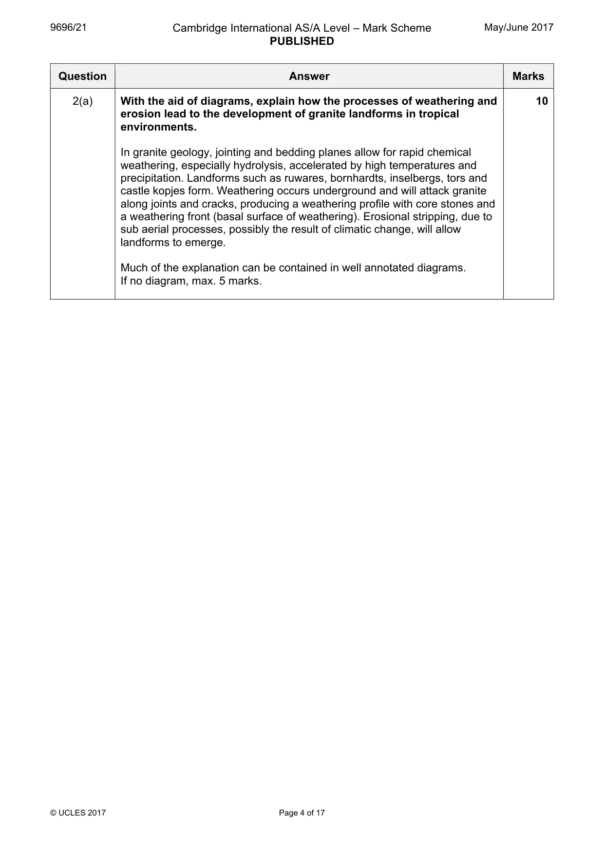
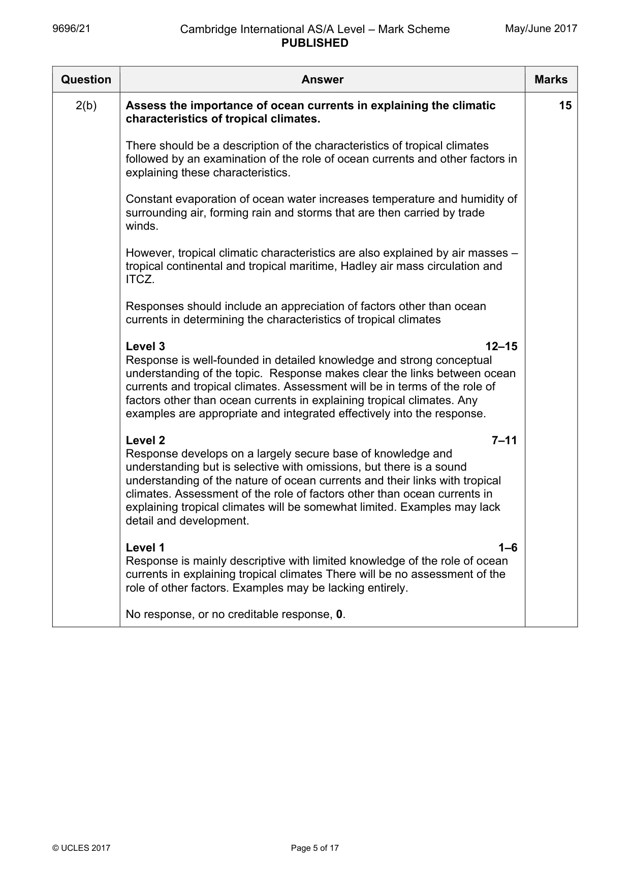
Mark scheme: 2(a) With the aid of diagrams, explain how the processes of weathering and 10 erosion lead to the development of granite landforms in tropical environments. In granite geology, jointing and bedding planes allow for rapid chemical weathering, especially hydrolysis, accelerated by high temperatures and precipitation. Landforms such as ruwares, bornhardts, inselbergs, tors and castle kopjes form. Weathering occurs underground and will attack granite along joints and cracks, producing a weathering profile with core stones and a weathering front (basal surface of weathering). Erosional stripping, due to sub aerial processes, possibly the result of climatic change, will allow landforms to emerge. Much of the explanation can be contained in well annotated diagrams. If no diagram, max. 5 marks. 2(b) Assess the importance of ocean currents in explaining the climatic 15 characteristics of tropical climates. There should be a description of the characteristics of tropical climates followed by an examination of the role of ocean currents and other factors in explaining these characteristics. Constant evaporation of ocean water increases temperature and humidity of surrounding air, forming rain and storms that are then carried by trade winds. However, tropical climatic characteristics are also explained by air masses – tropical continental and tropical maritime, Hadley air mass circulation and ITCZ. Responses should include an appreciation of factors other than ocean currents in determining the characteristics of tropical climates Level 3 12–15 Response is well-founded in detailed knowledge and strong conceptual understanding of the topic. Response makes clear the links between ocean currents and tropical climates. Assessment will be in terms of the role of factors other than ocean currents in explaining tropical climates. Any examples are appropriate and integrated effectively into the response. Level 2 7–11 Response develops on a largely secure base of knowledge and understanding but is selective with omissions, but there is a sound understanding of the nature of ocean currents and their links with tropical climates. Assessment of the role of factors other than ocean currents in explaining tropical climates will be somewhat limited. Examples may lack detail and development. Level 1 1–6 Response is mainly descriptive with limited knowledge of the role of ocean currents in explaining tropical climates There will be no assessment of the role of other factors. Examples may be lacking entirely. No response, or no creditable response, 0.
Q3 · Describe and explain the factors which contribute to the generation of different types of…
3 (a) Describe and explain the factors which contribute to the generation of different types of wave. [10] (b) Photograph A shows some effects of marine erosion on the Yorkshire coast, UK. Explain the processes of marine erosion and mass movement. Assess the effects these processes have upon cliff profiles, such as the one shown in Photograph A. [15]
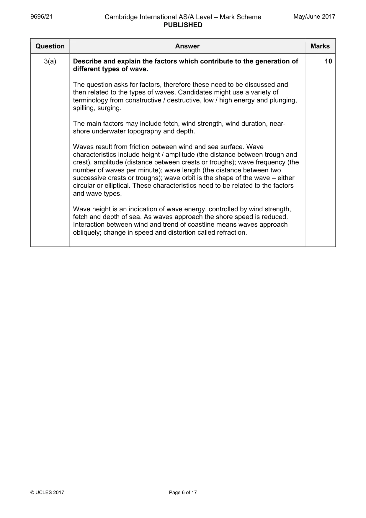
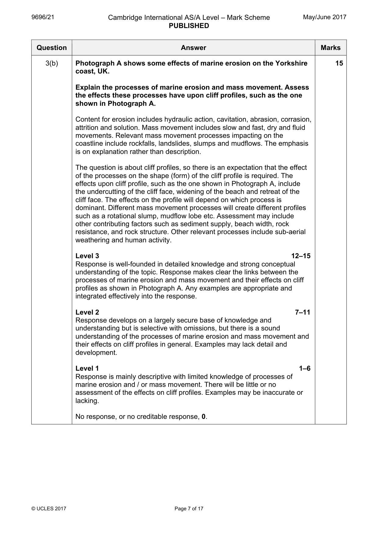
Mark scheme: 3(a) Describe and explain the factors which contribute to the generation of 10 different types of wave. The question asks for factors, therefore these need to be discussed and then related to the types of waves. Candidates might use a variety of terminology from constructive / destructive, low / high energy and plunging, spilling, surging. The main factors may include fetch, wind strength, wind duration, near- shore underwater topography and depth. Waves result from friction between wind and sea surface. Wave characteristics include height / amplitude (the distance between trough and crest), amplitude (distance between crests or troughs); wave frequency (the number of waves per minute); wave length (the distance between two successive crests or troughs); wave orbit is the shape of the wave – either circular or elliptical. These characteristics need to be related to the factors and wave types. Wave height is an indication of wave energy, controlled by wind strength, fetch and depth of sea. As waves approach the shore speed is reduced. Interaction between wind and trend of coastline means waves approach obliquely; change in speed and distortion called refraction. 3(b) Photograph A shows some effects of marine erosion on the Yorkshire 15 coast, UK. Explain the processes of marine erosion and mass movement. Assess the effects these processes have upon cliff profiles, such as the one shown in Photograph A. Content for erosion includes hydraulic action, cavitation, abrasion, corrasion, attrition and solution. Mass movement includes slow and fast, dry and fluid movements. Relevant mass movement processes impacting on the coastline include rockfalls, landslides, slumps and mudflows. The emphasis is on explanation rather than description. The question is about cliff profiles, so there is an expectation that the effect of the processes on the shape (form) of the cliff profile is required. The effects upon cliff profile, such as the one shown in Photograph A, include the undercutting of the cliff face, widening of the beach and retreat of the cliff face. The effects on the profile will depend on which process is dominant. Different mass movement processes will create different profiles such as a rotational slump, mudflow lobe etc. Assessment may include other contributing factors such as sediment supply, beach width, rock resistance, and rock structure. Other relevant processes include sub-aerial weathering and human activity. Level 3 12–15 Response is well-founded in detailed knowledge and strong conceptual understanding of the topic. Response makes clear the links between the processes of marine erosion and mass movement and their effects on cliff profiles as shown in Photograph A. Any examples are appropriate and integrated effectively into the response. Level 2 7–11 Response develops on a largely secure base of knowledge and understanding but is selective with omissions, but there is a sound understanding of the processes of marine erosion and mass movement and their effects on cliff profiles in general. Examples may lack detail and development. Level 1 1–6 Response is mainly descriptive with limited knowledge of processes of marine erosion and / or mass movement. There will be little or no assessment of the effects on cliff profiles. Examples may be inaccurate or lacking. No response, or no creditable response, 0.
Q4 · With the aid of diagrams, describe the characteristics and explain the formation of…
4 (a) With the aid of diagrams, describe the characteristics and explain the formation of offshore bars, barrier beaches and barrier islands. [10] (b) Describe some problems of sustainable management of a stretch or stretches of coastline and evaluate attempted solutions. [15] Hazardous environments Only one question may be answered from this topic.
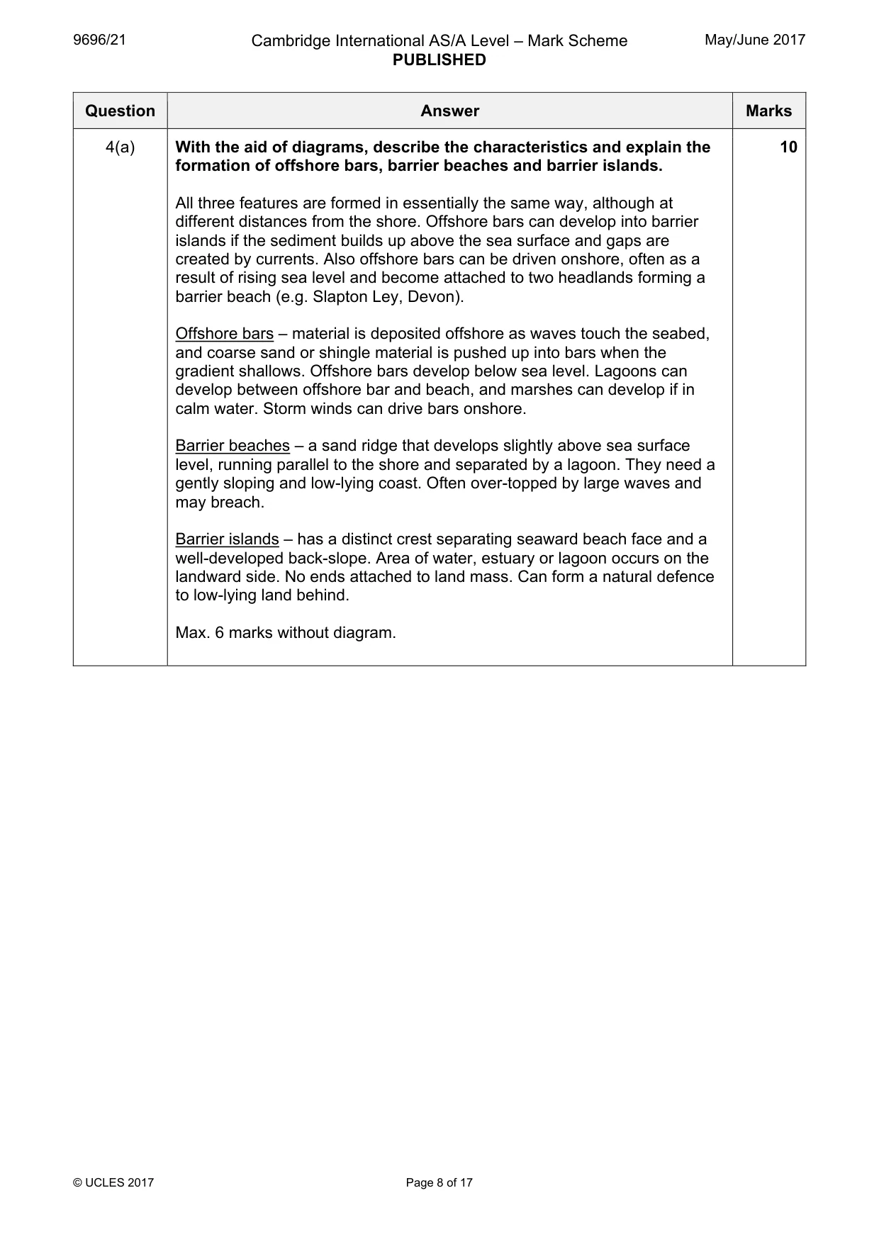
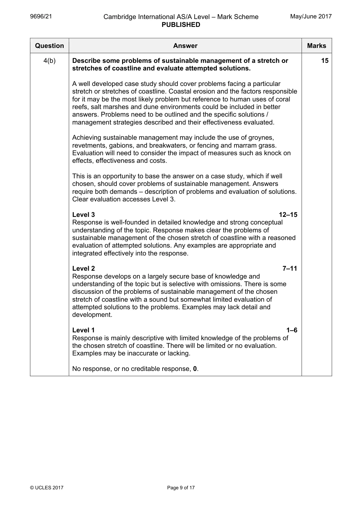
Mark scheme: 4(a) With the aid of diagrams, describe the characteristics and explain the 10 formation of offshore bars, barrier beaches and barrier islands. All three features are formed in essentially the same way, although at different distances from the shore. Offshore bars can develop into barrier islands if the sediment builds up above the sea surface and gaps are created by currents. Also offshore bars can be driven onshore, often as a result of rising sea level and become attached to two headlands forming a barrier beach (e.g. Slapton Ley, Devon). Offshore bars – material is deposited offshore as waves touch the seabed, and coarse sand or shingle material is pushed up into bars when the gradient shallows. Offshore bars develop below sea level. Lagoons can develop between offshore bar and beach, and marshes can develop if in calm water. Storm winds can drive bars onshore. Barrier beaches – a sand ridge that develops slightly above sea surface level, running parallel to the shore and separated by a lagoon. They need a gently sloping and low-lying coast. Often over-topped by large waves and may breach. Barrier islands – has a distinct crest separating seaward beach face and a well-developed back-slope. Area of water, estuary or lagoon occurs on the landward side. No ends attached to land mass. Can form a natural defence to low-lying land behind. Max. 6 marks without diagram. 4(b) Describe some problems of sustainable management of a stretch or 15 stretches of coastline and evaluate attempted solutions. A well developed case study should cover problems facing a particular stretch or stretches of coastline. Coastal erosion and the factors responsible for it may be the most likely problem but reference to human uses of coral reefs, salt marshes and dune environments could be included in better answers. Problems need to be outlined and the specific solutions / management strategies described and their effectiveness evaluated. Achieving sustainable management may include the use of groynes, revetments, gabions, and breakwaters, or fencing and marram grass. Evaluation will need to consider the impact of measures such as knock on effects, effectiveness and costs. This is an opportunity to base the answer on a case study, which if well chosen, should cover problems of sustainable management. Answers require both demands – description of problems and evaluation of solutions. Clear evaluation accesses Level 3. Level 3 12–15 Response is well-founded in detailed knowledge and strong conceptual understanding of the topic. Response makes clear the problems of sustainable management of the chosen stretch of coastline with a reasoned evaluation of attempted solutions. Any examples are appropriate and integrated effectively into the response. Level 2 7–11 Response develops on a largely secure base of knowledge and understanding of the topic but is selective with omissions. There is some discussion of the problems of sustainable management of the chosen stretch of coastline with a sound but somewhat limited evaluation of attempted solutions to the problems. Examples may lack detail and development. Level 1 1–6 Response is mainly descriptive with limited knowledge of the problems of the chosen stretch of coastline. There will be limited or no evaluation. Examples may be inaccurate or lacking. No response, or no creditable response, 0.
Q5 · Photograph B shows effects of the Mount Ontake volcanic eruption in Japan, September 2014
5 (a) Photograph B shows effects of the Mount Ontake volcanic eruption in Japan, September 2014. Describe the range of products associated with explosive volcanic eruptions. With reference to Photograph B, explain the effects of the eruption on the surrounding area. [10] (b) Describe and explain the range of hazards caused by earthquakes. Assess the extent to which these hazards can be predicted. [15]
Mark scheme: 5(a) Photograph B shows effects of the Mount Ontake volcanic eruption in 10 Japan, September 2014. Describe the range of products associated with explosive volcanic eruptions. With reference to Photograph B, explain the effects of the eruption on the surrounding area. A volcano is an extrusion of magma from a magma chamber through a rupture in the crust, allowing hot lava, volcanic ash and gases to escape from the chamber below. Volcanic eruptions occur at plate boundaries – both constructive and destructive and also at hot spots. The nature of the eruption will vary depending on the gas content, viscosity of lava and type of eruption. The question refers to an explosive type of eruption, with the expectation that there will be a brief statement of the nature of explosive eruptions as distinct from effusive. Therefore, if lava is mentioned there needs to be some indication that it is associated with an explosive eruption (rhyolitic, slow moving, high viscosity). A Hawaiian type of eruption is not explosive. The emphasis is on description so detailed explanation is not required of the range of products. The range of products that need describing are ash (tephra), lava bombs, pyroclastic flows, perhaps nuees ardentes and a variety of gases. Lahars as a secondary product are also acceptable. The effects can be considered more generally on an area surrounding an explosive volcano or they may be considered more specifically to the photograph. 5(b) Describe and explain the range of hazards caused by earthquakes. 15 Assess the extent to which these hazards can be predicted. Primary hazards may include ground shaking and subsidence, liquefaction and ground displacement. Secondary hazards may include flooding (tsunami) and fire, landslides, mudslides and avalanches. Buildings can be damaged and even sink into the ground as a result of liquefaction which is a risk in areas with unconsolidated material (alluvium, lake deposits) with high water tables. Buildings are damaged by strong waves (P and S) with vibrations in three dimensions. Landslides and avalanches also result from the shaking but only on slopes susceptible to mass movement where the material has already been weakened. Dams can be ruptured causing flooding, washing away buildings and drowning. Tsunami can hit shorelines and cause immense damage. Broken gas or power lines cause fire. Hazard prediction is probably the hardest for earthquakes as there are no warning signs like volcanoes. Although it is impossible to predict location, strength and time, seismologists have made advances in forecasting. The study of foreshocks, seismic history, seismic gap theory, animal behaviour, monitoring of plate boundaries, radon release and geological changes may be referred to. Level 3 12–15 Response is well-founded in detailed knowledge and strong conceptual understanding of the topic. Response makes clear the hazards relating to earthquakes. There is a thorough assessment of the extent to which these hazards can be predicted. Any examples are appropriate and integrated effectively into the response. Level 2 7–11 Response develops on a largely secure base of knowledge and understanding of the hazards relating to earthquakes but is selective with omissions. There is some assessment of the extent to which these hazards can be predicted but is limited in some respects. Examples may lack detail and development. Level 1 1–6 Response is mainly descriptive with limited knowledge of the hazards relating to earthquakes and with little or no assessment of the extent to which these hazards can be predicted. Examples may be inaccurate or lacking. No response, or no creditable response, 0.
Q6 · Describe the characteristics of tropical storms (cyclones)
6 (a) Describe the characteristics of tropical storms (cyclones). Explain how the development of tropical storms (cyclones) can be monitored. [10] (b) For any one hazardous environment, describe some of the problems of sustainable management and evaluate attempted or possible solutions. [15] Arid and semi-arid environments Only one question may be answered from this topic.
Mark scheme: 6(a) Describe the characteristics of tropical storms (cyclones). Explain how 10 the development of tropical storms (cyclones) can be monitored. The main characteristics may include size, rotation, wind speeds, area of formation, speed of movement / tracking, distribution, height and vertical development, rainfall amounts. Tropical storms (cyclones) start within 8° north and south of the Equator where sea surface temperatures reach 27°C. Areas most at risk are islands of the Caribbean, the SE coast of USA and low lying coasts of Bangladesh. The conditions required for their formation are used to help give warnings. NOAA Climate Prediction Center (Miami) monitors tropical cyclone development (hurricanes) in the Atlantic and Caribbean using satellites, doppler radar and reconnaissance aircraft. Observation by ships can also be useful. There are similar prediction centres in Southeast Asia and the Pacific. 6(b) For any one hazardous environment, describe some of the problems of 15 sustainable management and evaluate attempted or possible solutions. Hazardous environments may include hazards from tectonic movement, mass movements and atmospheric disturbances. A multiple hazard environment, such as the Philippines, Japan, Caribbean, is acceptable. The problems facing the environment need to be described before attempted solutions are discussed. The problems will relate to the specific hazards chosen. Prediction, planning, preparation and prevention will form the basis of answers. These should be specific to the choice of hazardous environment. There is scope to answer this on any of the hazardous environments and so the management techniques will vary dependent on the environment chosen. Level 3 12–15 Response is well-founded in detailed knowledge and strong conceptual understanding of the topic. Response makes clear the hazards relating to the chosen environment. There is a thorough evaluation of the extent to which these hazards can be managed. Any examples are appropriate and integrated effectively into the response. Level 2 7–11 Response develops on a largely secure base of knowledge and understanding of the hazards relating to the chosen environment but is selective with omissions. There is some evaluation of the extent to which these hazards can be managed but is limited in some respects. Examples may lack detail and development. Level 1 1–6 Response is mainly descriptive with limited knowledge of the hazards relating to the chosen environment and with little or no evaluation of the extent to which these hazards can be managed. Examples may be inaccurate or lacking. No response, or no creditable response, 0.
Q7 · Describe and explain how animals are adapted to extremes of temperature and drought in…
7 (a) Describe and explain how animals are adapted to extremes of temperature and drought in arid environments. [10] (b) Fig. 2 shows the nutrient cycle for an arid environment. Using Fig. 2, explain the main characteristics of the nutrient cycle. Discuss why arid environments have low biomass productivity. [15]
Mark scheme: 7(a) Describe and explain how animals are adapted to extremes of 10 temperature and drought in arid environments. Description requires reference to temperature and water regime in arid environments. Strategies involve maximising water uptake and minimising water loss and avoidance of, or adaption to, extreme heat. Majority of fauna are evaders who survive periods of stress in an inactive state, or by choosing cooler / moister locations (under shrubs or stones). Being inactive animals can control their temperature and water loss. Adaptations to temperature include changing body orientation, light colours, surface growth of spines or hairs, body size, evaporative cooling. Adaptations to water loss include ability to take water on board rapidly, and suppression of reproduction during periods of drought. 7(b) Fig. 2 shows the nutrient cycle for an arid environment. 15 Using Fig. 2, explain the main characteristics of the nutrient cycle. Discuss why arid environments have low biomass productivity. Nutrient cycle has low inputs due to low and irregular rainfall. Most nutrients are stored in the soil; limited stores in biomass and litter. Arid environments can be nutrient deficient due to rapid growth of annuals after a rainfall event which depletes the stores of nutrients. Extremes of heat and lack of moisture result in low rates of biomass productivity – on average 90 g/m2/yr due to limited amounts of organic matter. Arid environments have simple vegetation and energy flow is controlled by water which is irregular. Levels are awarded depending upon the ability to tackle both demands adequately. Level 3 12–15 Response is well-founded in detailed knowledge and strong conceptual understanding of the topic. Response makes clear the nature of the nutrient cycle. There is a thorough discussion as to why arid environments have low biomass productivity. Any examples are appropriate and integrated effectively into the response. Level 2 7–11 Response develops on a largely secure base of knowledge and understanding of the nature of the nutrient cycle but is selective. There is some discussion as to why arid environments have low biomass productivity. Examples may lack detail and development. Level 1 1–6 Response is mainly descriptive with limited knowledge of the nature of the nutrient cycle and little or no discussion as to why arid environments have low biomass productivity. Examples may be inaccurate or lacking. No response, or no creditable response, 0.
Q8 · With the aid of labelled diagrams, explain the development of alluvial fans and pediments…
8 (a) With the aid of labelled diagrams, explain the development of alluvial fans and pediments in arid environments. [10] (b) For arid and semi-arid environments, explain the processes of thermal fracture, exfoliation and chemical weathering. To what extent are these processes effective in the weathering of rocks in these environments? [15]
Mark scheme: 8(a) With the aid of labelled diagrams, explain the development of alluvial 10 fans and pediments in arid environments. Alluvial fans Fan-shaped depositional features (cone of sediment) formed where ephemeral rivers / streams emerge from a canyon cut into a desert upland onto a flat plain. Such streams are usually laden with the sediment and the drop in gradient and ability to expand laterally on exiting the upland leads to a loss of energy and deposition. The coarse material is deposited first with the fine sediments deposited at the distal end. They can be up to 20km wide and 300m at the apex of the cone. Pediments A pediment is a gently sloping (maximum 6 or 7 degrees) rock slope, either bare or with a thin covering of sediment which stretches away from the foot of a mountain range. There are two theories about their formation. First, during periods of episodic rainfall, lateral erosion by streams and sheetfloods produces the pediment. Another theory refers to the parallel retreat of the mountain front due to weathering and erosion. Weathered material is carried from the mountain front across the pediment to be deposited as a peripediment. If only one, max. 6 marks. Max. 6 marks without diagrams. 8(b) For arid and semi-arid environments, explain the processes of thermal 15 fracture, exfoliation and chemical weathering. To what extent are these processes effective in the weathering of rocks in these environments? Thermal fracture The break-up of rock as a result of repeated temperature changes, over a prolonged time period, leading to the expansion and contraction of rock. The stresses caused may lead to the cracking of rock resulting in either granular or block disintegration. The different thermal capacities of rock minerals can be significant factors. Exfoliation Rocks heat up in the day and cool down and contract at night. Rock is a poor conductor of heat, which means only surface rock layers are stressed. This results in the rock breaking down by the surface peeling in sheets. Chemical weathering This is limited by lack of water, but with occasional rainfall and dew can occur. Rainfall is also more frequent in semi-arid environments and this distinction can be made. Hydration might be considered where certain minerals absorb water, resulting in chemical changes and volume increases. Level 3 12–15 Response is well-founded in detailed knowledge and strong conceptual understanding of the topic. Response makes clear the nature of the weathering processes. There is a thorough assessment of the role of the processes in weathering rocks in arid and semi-arid environments. Any examples are appropriate and integrated effectively into the response. Level 2 7–11 Response develops on a largely secure base of knowledge and understanding of the nature of the weathering processes but is selective. There is some assessment the role of the processes in weathering rocks in arid and semi-arid environments but is limited in some respects. Examples may lack detail and development. Level 1 1–6 Response is mainly descriptive with limited knowledge of the nature of the weathering processes and little or no assessment of the role of the processes in weathering rocks in arid and semi-arid environments. Examples may be inaccurate or lacking. No response, or no creditable response, 0.
What was in this paper
The subtopics covered by these 8 questions, and how many questions each got. Open one in a new tab to see every Cambridge question on it.
What you needed in this session
Cambridge’s own grade thresholds for 2017 May/June, Paper 2 · Variant 1. A higher threshold means an easier paper — the bar moves with how the cohort did.