Cambridge A Level Geography 9696 — 2022 May/June Paper 3 · Variant 2
9696/32/M/J/22 · 60 marks · ≈68 min
The question paper and its mark scheme, free to read here and free to download. This is Cambridge’s own paper, exactly as it was sat.
Question paper4 pages

Mark scheme26 pages
Answers below. Sit the paper first if you are practising.







Paper as text
Question paper, page 1
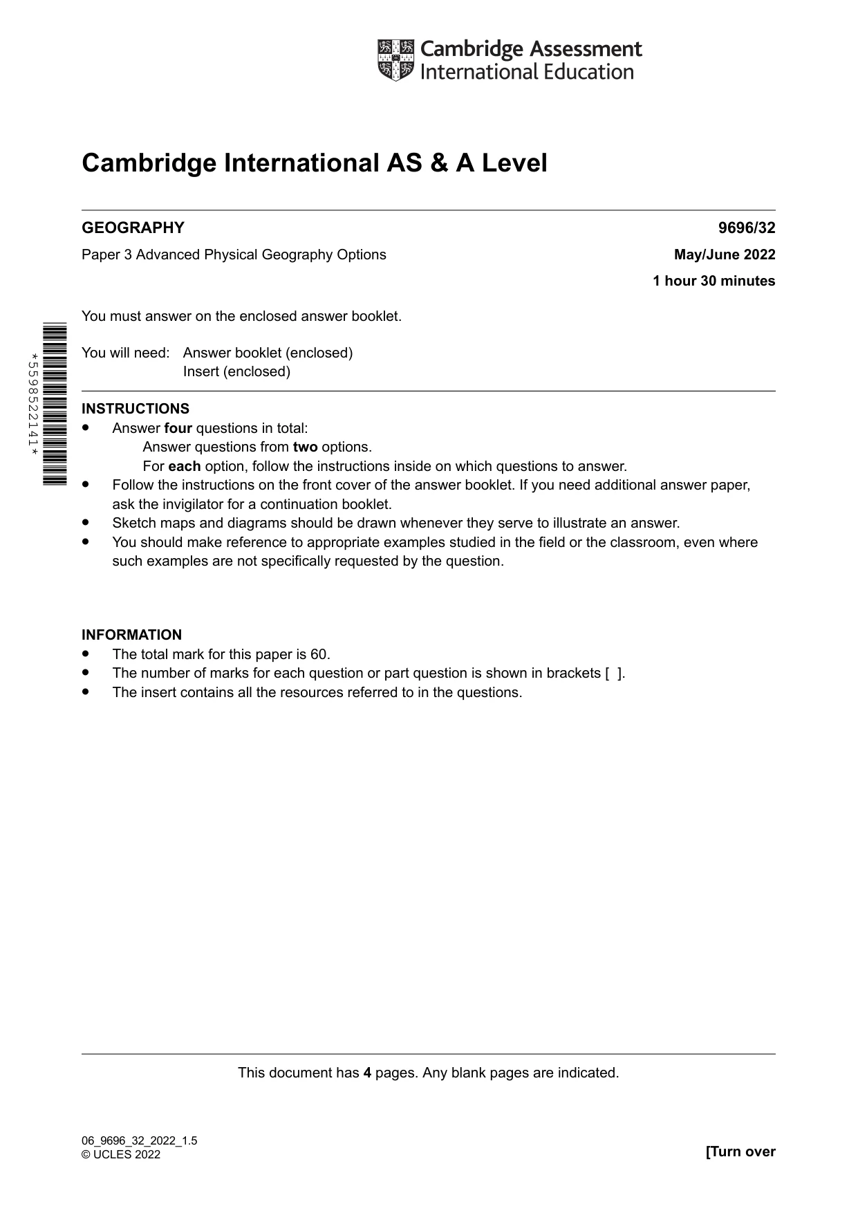
Cambridge International AS & A Level 9696/32 May/June 2022 1 hour 30 minutes GEOGRAPHY Paper 3 Advanced Physical Geography Options You must answer on the enclosed answer booklet. You will need: Answer booklet (enclosed) Insert (enclosed) INSTRUCTIONS • Answer four questions in total: Answer questions from two options. For each option, follow the instructions inside on which questions to answer. • Follow the instructions on the front cover of the answer booklet. If you need additional answer paper, ask the invigilator for a continuation booklet. • Sketch maps and diagrams should be drawn whenever they serve to illustrate an answer. • You should make reference to appropriate examples studied in the field or the classroom, even where such examples are not specifically requested by the question. INFORMATION • The total mark for this paper is 60. • The number of marks for each question or part question is shown in brackets [ ]. • The insert contains all the resources referred to in the questions. This document has 4 pages. Any blank pages are indicated. [Turn over 06_9696_32_2022_1.5 © UCLES 2022 *5598522141*
Question paper, page 2
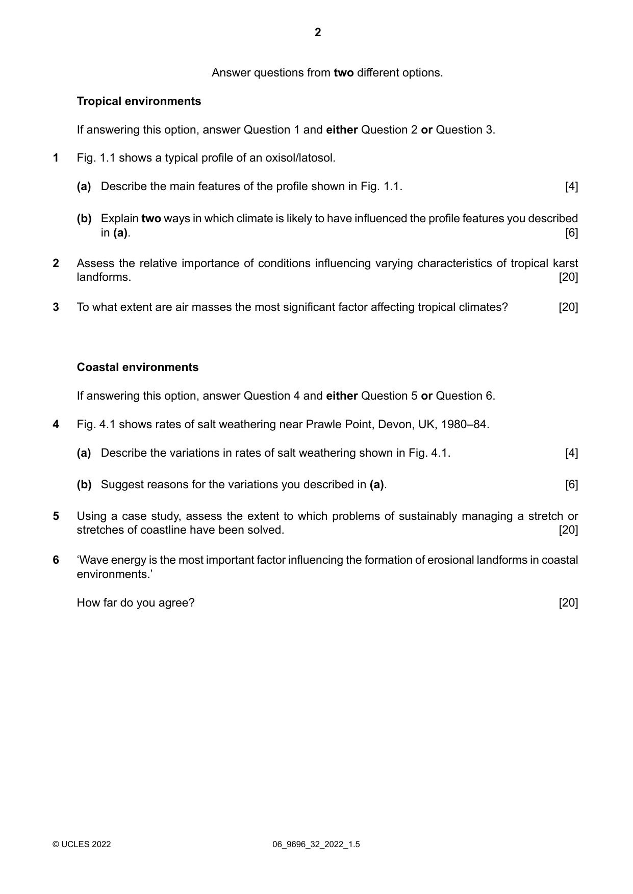
Answer questions from two different options. Tropical environments If answering this option, answer Question 1 and either Question 2 or Question 3. Fig. 1.1 shows a typical profile of an oxisol/latosol. 1 Describe the main features of the profile shown in Fig. 1.1. [4] (a) Explain two ways in which climate is likely to have influenced the profile features you described in (a). [6] (b) Assess the relative importance of conditions influencing varying characteristics of tropical karst landforms. [20] 2 To what extent are air masses the most significant factor affecting tropical climates? [20] 3 Coastal environments If answering this option, answer Question 4 and either Question 5 or Question 6. Fig. 4.1 shows rates of salt weathering near Prawle Point, Devon, UK, 1980–84. 4 Describe the variations in rates of salt weathering shown in Fig. 4.1. [4] (a) Suggest reasons for the variations you described in (a). [6] (b) Using a case study, assess the extent to which problems of sustainably managing a stretch or stretches of coastline have been solved. [20] 5 ‘Wave energy is the most important factor influencing the formation of erosional landforms in coastal environments.’ How far do you agree? [20] 6 06_9696_32_2022_1.5 © UCLES 2022 2
Question paper, page 3
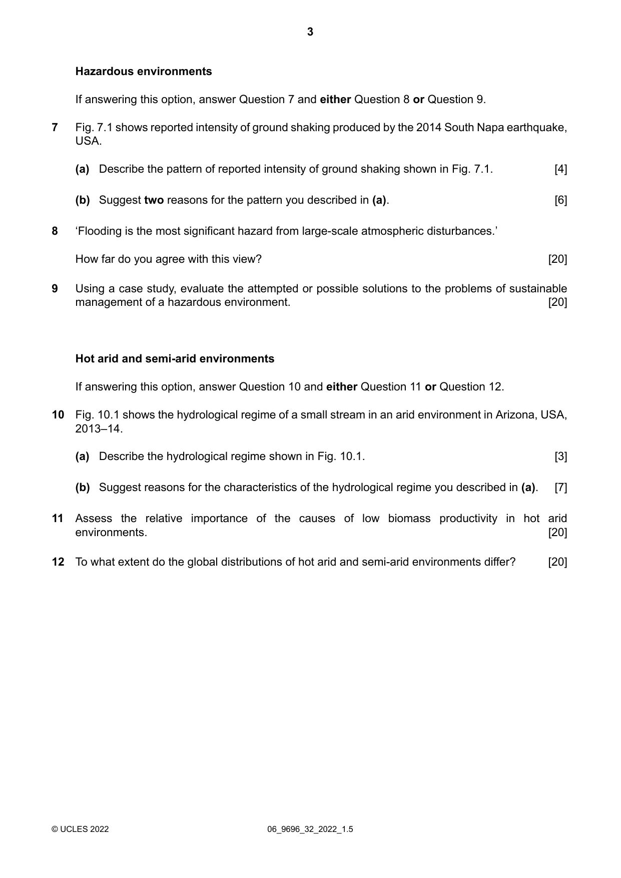
Hazardous environments If answering this option, answer Question 7 and either Question 8 or Question 9. Fig. 7.1 shows reported intensity of ground shaking produced by the 2014 South Napa earthquake, USA. 7 Describe the pattern of reported intensity of ground shaking shown in Fig. 7.1. [4] (a) Suggest two reasons for the pattern you described in (a). [6] (b) ‘Flooding is the most significant hazard from large-scale atmospheric disturbances.’ How far do you agree with this view? [20] 8 Using a case study, evaluate the attempted or possible solutions to the problems of sustainable management of a hazardous environment. [20] 9 Hot arid and semi-arid environments If answering this option, answer Question 10 and either Question 11 or Question 12. Fig. 10.1 shows the hydrological regime of a small stream in an arid environment in Arizona, USA, 2013–14. 10 Describe the hydrological regime shown in Fig. 10.1. [3] (a) Suggest reasons for the characteristics of the hydrological regime you described in (a). [7] (b) Assess the relative importance of the causes of low biomass productivity in hot arid environments. [20] 11 To what extent do the global distributions of hot arid and semi-arid environments differ? [20] 12 06_9696_32_2022_1.5 © UCLES 2022 3
Question paper, page 4
BLANK PAGE The boundaries and names shown, the designations used and the presentation of material on any maps contained in this question paper/insert do not imply official endorsement or acceptance by Cambridge Assessment International Education concerning the legal status of any country, territory, or area or any of its authorities, or of the delimitation of its frontiers or boundaries. Permission to reproduce items where third-party owned material protected by copyright is included has been sought and cleared where possible. Every reasonable effort has been made by the publisher (UCLES) to trace copyright holders, but if any items requiring clearance have unwittingly been included, the publisher will be pleased to make amends at the earliest possible opportunity. To avoid the issue of disclosure of answer-related information to candidates, all copyright acknowledgements are reproduced online in the Cambridge Assessment International Education Copyright Acknowledgements Booklet. This is produced for each series of examinations and is freely available to download at www.cambridgeinternational.org after the live examination series. Cambridge Assessment International Education is part of Cambridge Assessment. Cambridge Assessment is the brand name of the University of Cambridge Local Examinations Syndicate (UCLES), which is a department of the University of Cambridge. 06_9696_32_2022_1.5 © UCLES 2022 4
Mark scheme, page 1
This document consists of 26 printed pages. © UCLES 2022 [Turn over Cambridge International AS & A Level GEOGRAPHY 9696/32 Paper 3 Advanced Physical Geography Options May/June 2022 MARK SCHEME Maximum Mark: 60 Published This mark scheme is published as an aid to teachers and candidates, to indicate the requirements of the examination. It shows the basis on which Examiners were instructed to award marks. It does not indicate the details of the discussions that took place at an Examiners’ meeting before marking began, which would have considered the acceptability of alternative answers. Mark schemes should be read in conjunction with the question paper and the Principal Examiner Report for Teachers. Cambridge International will not enter into discussions about these mark schemes. Cambridge International is publishing the mark schemes for the May/June 2022 series for most Cambridge IGCSE, Cambridge International A and AS Level and Cambridge Pre-U components, and some Cambridge O Level components.
Mark scheme, page 2
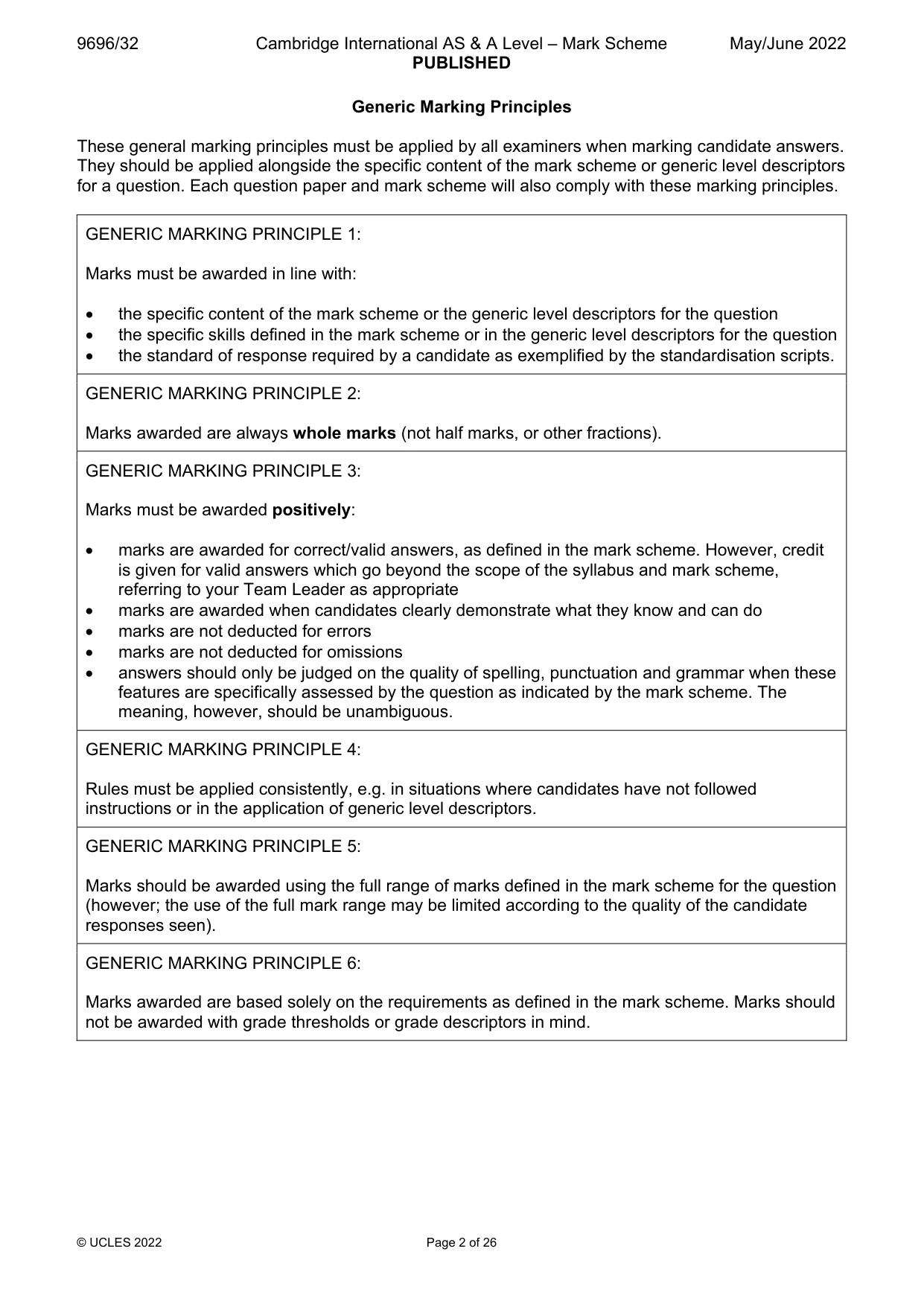
9696/32 Cambridge International AS & A Level – Mark Scheme PUBLISHED May/June 2022 © UCLES 2022 Page 2 of 26 Generic Marking Principles These general marking principles must be applied by all examiners when marking candidate answers. They should be applied alongside the specific content of the mark scheme or generic level descriptors for a question. Each question paper and mark scheme will also comply with these marking principles. GENERIC MARKING PRINCIPLE 1: Marks must be awarded in line with: the specific content of the mark scheme or the generic level descriptors for the question the specific skills defined in the mark scheme or in the generic level descriptors for the question the standard of response required by a candidate as exemplified by the standardisation scripts. GENERIC MARKING PRINCIPLE 2: Marks awarded are always whole marks (not half marks, or other fractions). GENERIC MARKING PRINCIPLE 3: Marks must be awarded positively: marks are awarded for correct/valid answers, as defined in the mark scheme. However, credit is given for valid answers which go beyond the scope of the syllabus and mark scheme, referring to your Team Leader as appropriate marks are awarded when candidates clearly demonstrate what they know and can do marks are not deducted for errors marks are not deducted for omissions answers should only be judged on the quality of spelling, punctuation and grammar when these features are specifically assessed by the question as indicated by the mark scheme. The meaning, however, should be unambiguous. GENERIC MARKING PRINCIPLE 4: Rules must be applied consistently, e.g. in situations where candidates have not followed instructions or in the application of generic level descriptors. GENERIC MARKING PRINCIPLE 5: Marks should be awarded using the full range of marks defined in the mark scheme for the question (however; the use of the full mark range may be limited according to the quality of the candidate responses seen). GENERIC MARKING PRINCIPLE 6: Marks awarded are based solely on the requirements as defined in the mark scheme. Marks should not be awarded with grade thresholds or grade descriptors in mind.
Mark scheme, page 3
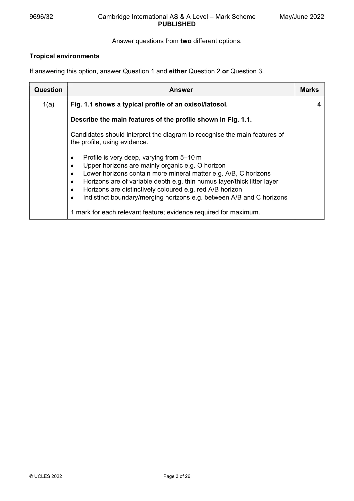
9696/32 Cambridge International AS & A Level – Mark Scheme PUBLISHED May/June 2022 © UCLES 2022 Page 3 of 26 Answer questions from two different options. Tropical environments If answering this option, answer Question 1 and either Question 2 or Question 3. Question Answer Marks 1(a) Fig. 1.1 shows a typical profile of an oxisol/latosol. Describe the main features of the profile shown in Fig. 1.1. Candidates should interpret the diagram to recognise the main features of the profile, using evidence. Profile is very deep, varying from 5–10 m Upper horizons are mainly organic e.g. O horizon Lower horizons contain more mineral matter e.g. A/B, C horizons Horizons are of variable depth e.g. thin humus layer/thick litter layer Horizons are distinctively coloured e.g. red A/B horizon Indistinct boundary/merging horizons e.g. between A/B and C horizons 1 mark for each relevant feature; evidence required for maximum. 4
Mark scheme, page 4
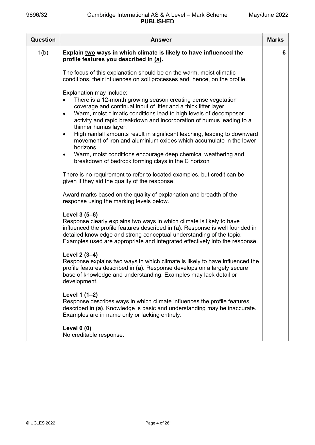
9696/32 Cambridge International AS & A Level – Mark Scheme PUBLISHED May/June 2022 © UCLES 2022 Page 4 of 26 Question Answer Marks 1(b) Explain two ways in which climate is likely to have influenced the profile features you described in (a). The focus of this explanation should be on the warm, moist climatic conditions, their influences on soil processes and, hence, on the profile. Explanation may include: There is a 12-month growing season creating dense vegetation coverage and continual input of litter and a thick litter layer Warm, moist climatic conditions lead to high levels of decomposer activity and rapid breakdown and incorporation of humus leading to a thinner humus layer. High rainfall amounts result in significant leaching, leading to downward movement of iron and aluminium oxides which accumulate in the lower horizons Warm, moist conditions encourage deep chemical weathering and breakdown of bedrock forming clays in the C horizon There is no requirement to refer to located examples, but credit can be given if they aid the quality of the response. Award marks based on the quality of explanation and breadth of the response using the marking levels below. Level 3 (5–6) Response clearly explains two ways in which climate is likely to have influenced the profile features described in (a). Response is well founded in detailed knowledge and strong conceptual understanding of the topic. Examples used are appropriate and integrated effectively into the response. Level 2 (3–4) Response explains two ways in which climate is likely to have influenced the profile features described in (a). Response develops on a largely secure base of knowledge and understanding. Examples may lack detail or development. Level 1 (1–2) Response describes ways in which climate influences the profile features described in (a). Knowledge is basic and understanding may be inaccurate. Examples are in name only or lacking entirely. Level 0 (0) No creditable response. 6
Mark scheme, page 5
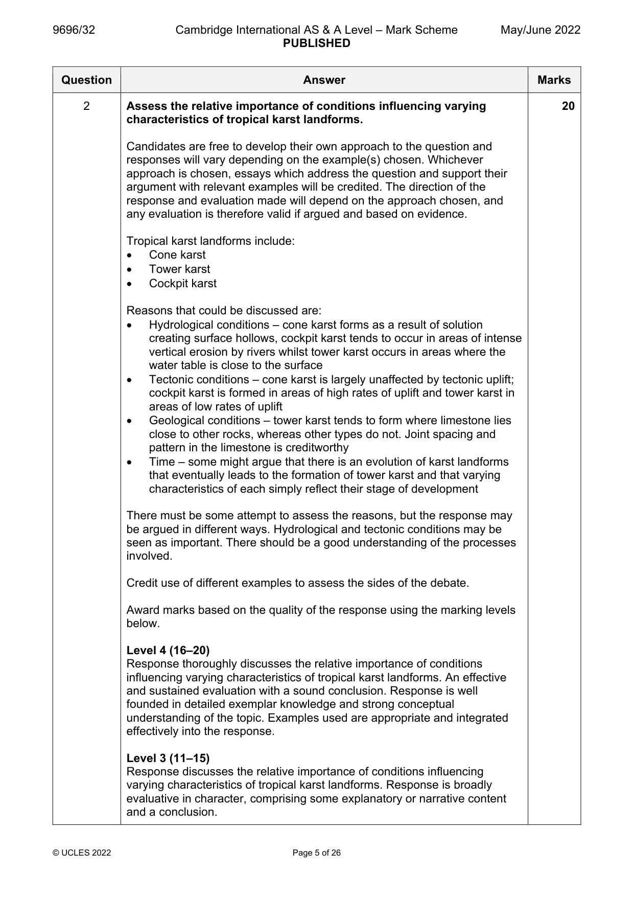
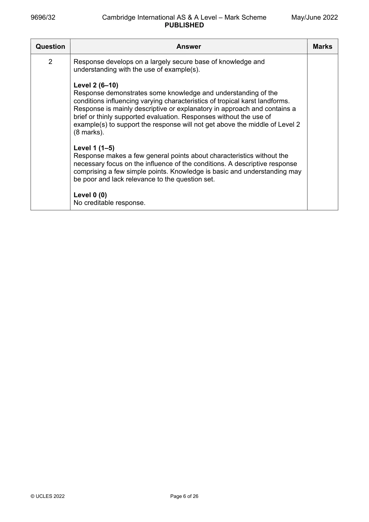
9696/32 Cambridge International AS & A Level – Mark Scheme PUBLISHED May/June 2022 © UCLES 2022 Page 5 of 26 Question Answer Marks 2 Assess the relative importance of conditions influencing varying characteristics of tropical karst landforms. Candidates are free to develop their own approach to the question and responses will vary depending on the example(s) chosen. Whichever approach is chosen, essays which address the question and support their argument with relevant examples will be credited. The direction of the response and evaluation made will depend on the approach chosen, and any evaluation is therefore valid if argued and based on evidence. Tropical karst landforms include: Cone karst Tower karst Cockpit karst Reasons that could be discussed are: Hydrological conditions – cone karst forms as a result of solution creating surface hollows, cockpit karst tends to occur in areas of intense vertical erosion by rivers whilst tower karst occurs in areas where the water table is close to the surface Tectonic conditions – cone karst is largely unaffected by tectonic uplift; cockpit karst is formed in areas of high rates of uplift and tower karst in areas of low rates of uplift Geological conditions – tower karst tends to form where limestone lies close to other rocks, whereas other types do not. Joint spacing and pattern in the limestone is creditworthy Time – some might argue that there is an evolution of karst landforms that eventually leads to the formation of tower karst and that varying characteristics of each simply reflect their stage of development There must be some attempt to assess the reasons, but the response may be argued in different ways. Hydrological and tectonic conditions may be seen as important. There should be a good understanding of the processes involved. Credit use of different examples to assess the sides of the debate. Award marks based on the quality of the response using the marking levels below. Level 4 (16–20) Response thoroughly discusses the relative importance of conditions influencing varying characteristics of tropical karst landforms. An effective and sustained evaluation with a sound conclusion. Response is well founded in detailed exemplar knowledge and strong conceptual understanding of the topic. Examples used are appropriate and integrated effectively into the response. Level 3 (11–15) Response discusses the relative importance of conditions influencing varying characteristics of tropical karst landforms. Response is broadly evaluative in character, comprising some explanatory or narrative content and a conclusion. 20
Mark scheme, page 6
9696/32 Cambridge International AS & A Level – Mark Scheme PUBLISHED May/June 2022 © UCLES 2022 Page 6 of 26 Question Answer Marks 2 Response develops on a largely secure base of knowledge and understanding with the use of example(s). Level 2 (6–10) Response demonstrates some knowledge and understanding of the conditions influencing varying characteristics of tropical karst landforms. Response is mainly descriptive or explanatory in approach and contains a brief or thinly supported evaluation. Responses without the use of example(s) to support the response will not get above the middle of Level 2 (8 marks). Level 1 (1–5) Response makes a few general points about characteristics without the necessary focus on the influence of the conditions. A descriptive response comprising a few simple points. Knowledge is basic and understanding may be poor and lack relevance to the question set. Level 0 (0) No creditable response.
Mark scheme, page 7
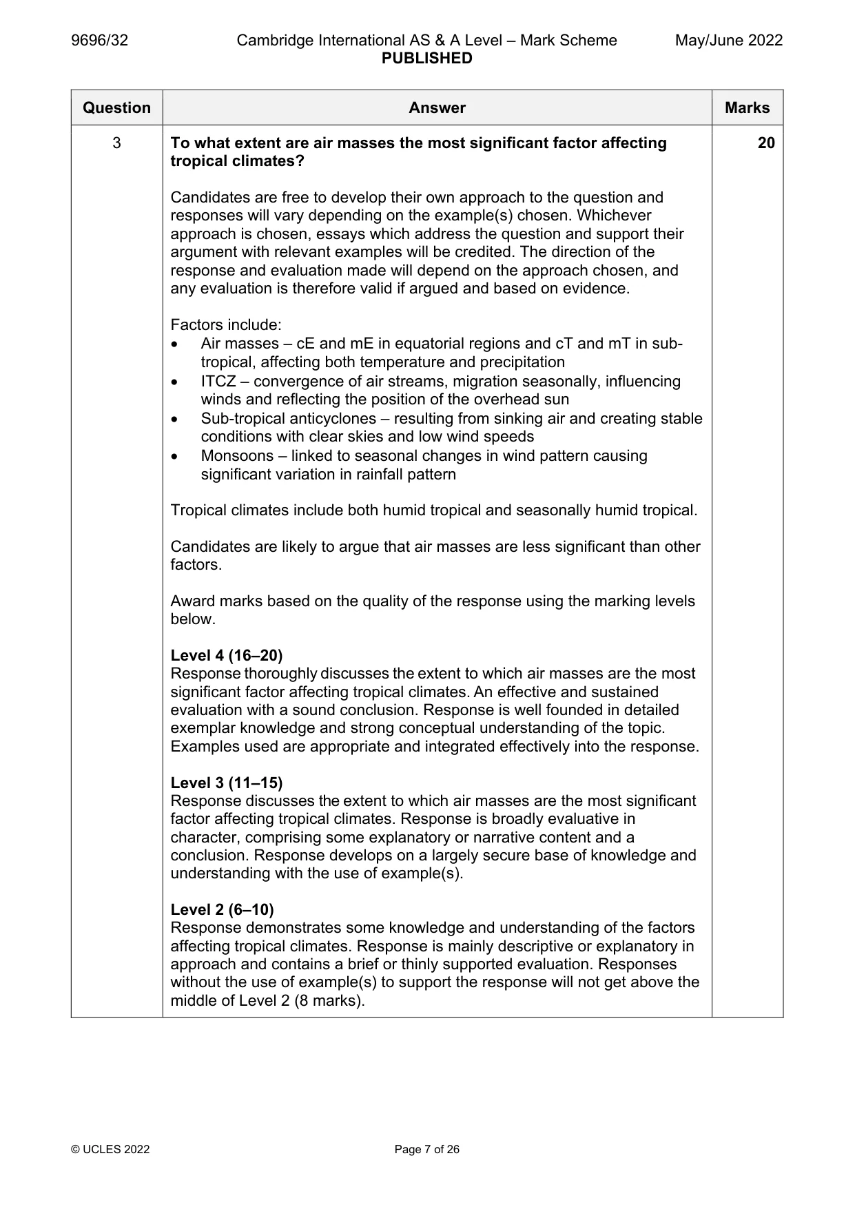
9696/32 Cambridge International AS & A Level – Mark Scheme PUBLISHED May/June 2022 © UCLES 2022 Page 7 of 26 Question Answer Marks 3 To what extent are air masses the most significant factor affecting tropical climates? Candidates are free to develop their own approach to the question and responses will vary depending on the example(s) chosen. Whichever approach is chosen, essays which address the question and support their argument with relevant examples will be credited. The direction of the response and evaluation made will depend on the approach chosen, and any evaluation is therefore valid if argued and based on evidence. Factors include: Air masses – cE and mE in equatorial regions and cT and mT in sub- tropical, affecting both temperature and precipitation ITCZ – convergence of air streams, migration seasonally, influencing winds and reflecting the position of the overhead sun Sub-tropical anticyclones – resulting from sinking air and creating stable conditions with clear skies and low wind speeds Monsoons – linked to seasonal changes in wind pattern causing significant variation in rainfall pattern Tropical climates include both humid tropical and seasonally humid tropical. Candidates are likely to argue that air masses are less significant than other factors. Award marks based on the quality of the response using the marking levels below. Level 4 (16–20) Response thoroughly discusses the extent to which air masses are the most significant factor affecting tropical climates. An effective and sustained evaluation with a sound conclusion. Response is well founded in detailed exemplar knowledge and strong conceptual understanding of the topic. Examples used are appropriate and integrated effectively into the response. Level 3 (11–15) Response discusses the extent to which air masses are the most significant factor affecting tropical climates. Response is broadly evaluative in character, comprising some explanatory or narrative content and a conclusion. Response develops on a largely secure base of knowledge and understanding with the use of example(s). Level 2 (6–10) Response demonstrates some knowledge and understanding of the factors affecting tropical climates. Response is mainly descriptive or explanatory in approach and contains a brief or thinly supported evaluation. Responses without the use of example(s) to support the response will not get above the middle of Level 2 (8 marks). 20
Mark scheme, page 8
9696/32 Cambridge International AS & A Level – Mark Scheme PUBLISHED May/June 2022 © UCLES 2022 Page 8 of 26 Question Answer Marks 3 Level 1 (1–5) Response makes a few general points about tropical climates without the necessary focus on the influence of factors. A descriptive response comprising a few simple points. Knowledge is basic and understanding may be poor and lack relevance to the question set. Level 0 (0) No creditable response.
Mark scheme, page 9
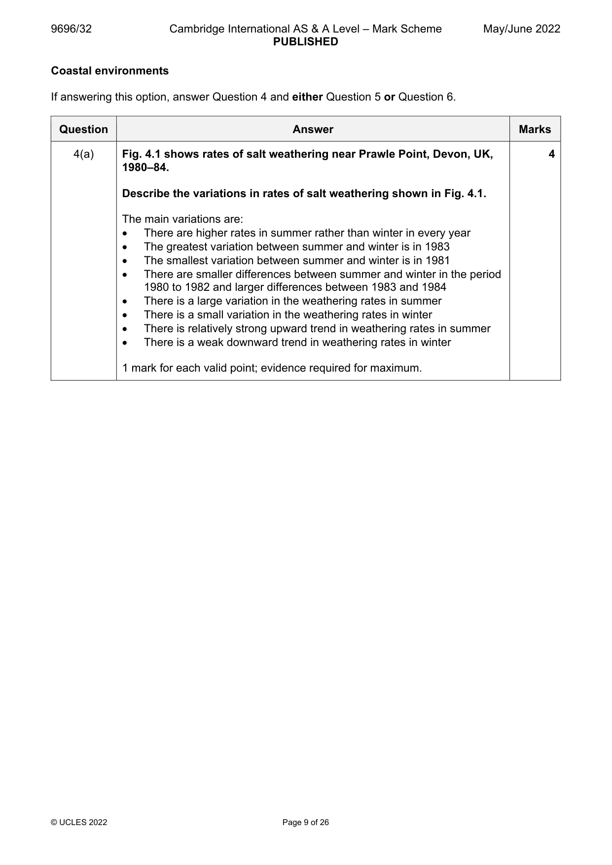
9696/32 Cambridge International AS & A Level – Mark Scheme PUBLISHED May/June 2022 © UCLES 2022 Page 9 of 26 Coastal environments If answering this option, answer Question 4 and either Question 5 or Question 6. Question Answer Marks 4(a) Fig. 4.1 shows rates of salt weathering near Prawle Point, Devon, UK, 1980–84. Describe the variations in rates of salt weathering shown in Fig. 4.1. The main variations are: There are higher rates in summer rather than winter in every year The greatest variation between summer and winter is in 1983 The smallest variation between summer and winter is in 1981 There are smaller differences between summer and winter in the period 1980 to 1982 and larger differences between 1983 and 1984 There is a large variation in the weathering rates in summer There is a small variation in the weathering rates in winter There is relatively strong upward trend in weathering rates in summer There is a weak downward trend in weathering rates in winter 1 mark for each valid point; evidence required for maximum. 4
Mark scheme, page 10
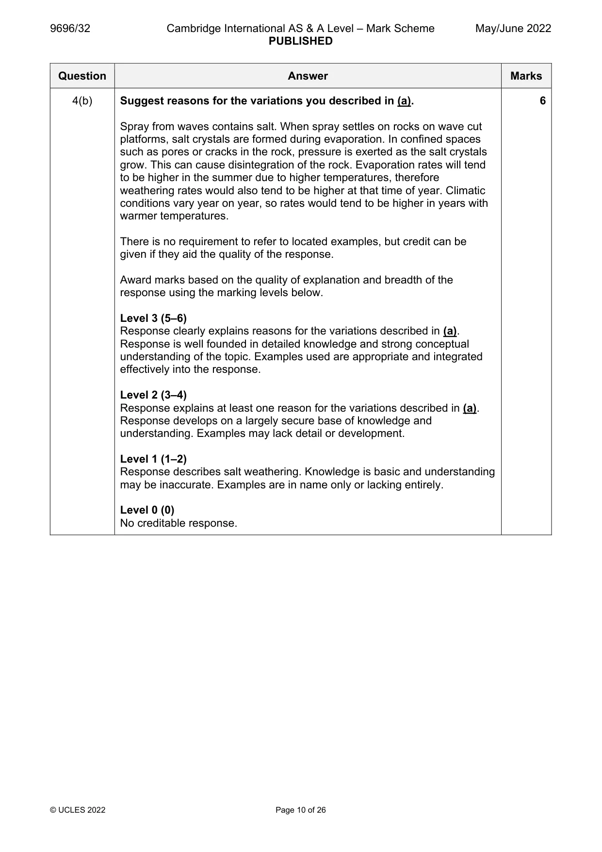
9696/32 Cambridge International AS & A Level – Mark Scheme PUBLISHED May/June 2022 © UCLES 2022 Page 10 of 26 Question Answer Marks 4(b) Suggest reasons for the variations you described in (a). Spray from waves contains salt. When spray settles on rocks on wave cut platforms, salt crystals are formed during evaporation. In confined spaces such as pores or cracks in the rock, pressure is exerted as the salt crystals grow. This can cause disintegration of the rock. Evaporation rates will tend to be higher in the summer due to higher temperatures, therefore weathering rates would also tend to be higher at that time of year. Climatic conditions vary year on year, so rates would tend to be higher in years with warmer temperatures. There is no requirement to refer to located examples, but credit can be given if they aid the quality of the response. Award marks based on the quality of explanation and breadth of the response using the marking levels below. Level 3 (5–6) Response clearly explains reasons for the variations described in (a). Response is well founded in detailed knowledge and strong conceptual understanding of the topic. Examples used are appropriate and integrated effectively into the response. Level 2 (3–4) Response explains at least one reason for the variations described in (a). Response develops on a largely secure base of knowledge and understanding. Examples may lack detail or development. Level 1 (1–2) Response describes salt weathering. Knowledge is basic and understanding may be inaccurate. Examples are in name only or lacking entirely. Level 0 (0) No creditable response. 6
Mark scheme, page 11
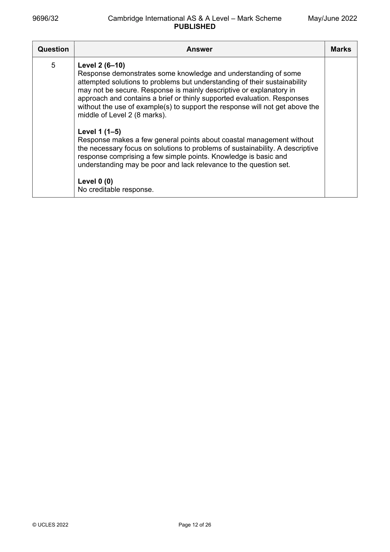
9696/32 Cambridge International AS & A Level – Mark Scheme PUBLISHED May/June 2022 © UCLES 2022 Page 11 of 26 Question Answer Marks 5 Using a case study, assess the extent to which problems of sustainably managing a stretch or stretches of coastline have been solved. Candidates are free to develop their own approach to the question and responses will vary depending on the example(s) chosen. Whichever approach is chosen, essays which address the question and support their argument with relevant examples will be credited. The direction of the response and evaluation made will depend on the approach chosen, and any evaluation is therefore valid if argued and based on evidence. Problems may include: Rising sea level Rates of erosion Rock type and structure Longshore drift Development of tourism/leisure/recreation Ports/shipping/fishing Pollution Increasing population/building Threats to ecosystems Conflicts between stakeholders Management costs Solutions may include: Hard engineering e.g. groynes, revetments, rip-rap Soft engineering e.g. beach nourishment, vegetation planting, re- grading Managed retreat e.g. red-lining Maybe related to shoreline management plan Award marks based on the quality of the response using the marking levels below. Level 4 (16–20) Response thoroughly discusses the extent to which problems of sustainably managing a stretch or stretches of coastline have been solved. An effective and sustained evaluation with a sound conclusion. Response is well founded in detailed exemplar knowledge and strong conceptual understanding of the topic. Examples used are appropriate and integrated effectively into the response. Level 3 (11–15) Response discusses the extent to which problems of sustainably managing a stretch or stretches of coastline have been solved. Response is broadly evaluative in character, comprising some explanatory or narrative content and a conclusion. Response develops on a largely secure base of knowledge and understanding with the use of example(s). 20
Mark scheme, page 12
9696/32 Cambridge International AS & A Level – Mark Scheme PUBLISHED May/June 2022 © UCLES 2022 Page 12 of 26 Question Answer Marks 5 Level 2 (6–10) Response demonstrates some knowledge and understanding of some attempted solutions to problems but understanding of their sustainability may not be secure. Response is mainly descriptive or explanatory in approach and contains a brief or thinly supported evaluation. Responses without the use of example(s) to support the response will not get above the middle of Level 2 (8 marks). Level 1 (1–5) Response makes a few general points about coastal management without the necessary focus on solutions to problems of sustainability. A descriptive response comprising a few simple points. Knowledge is basic and understanding may be poor and lack relevance to the question set. Level 0 (0) No creditable response.
Mark scheme, page 13
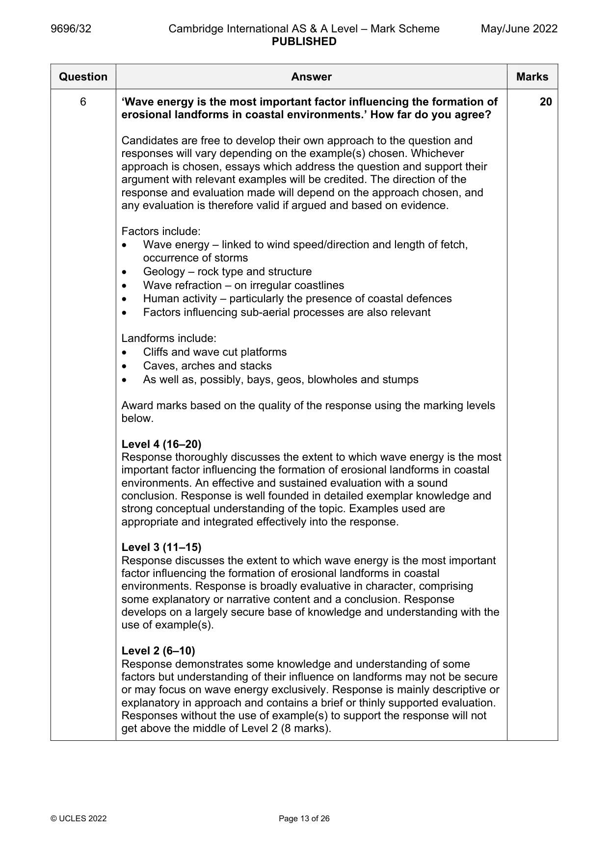
9696/32 Cambridge International AS & A Level – Mark Scheme PUBLISHED May/June 2022 © UCLES 2022 Page 13 of 26 Question Answer Marks 6 ‘Wave energy is the most important factor influencing the formation of erosional landforms in coastal environments.’ How far do you agree? Candidates are free to develop their own approach to the question and responses will vary depending on the example(s) chosen. Whichever approach is chosen, essays which address the question and support their argument with relevant examples will be credited. The direction of the response and evaluation made will depend on the approach chosen, and any evaluation is therefore valid if argued and based on evidence. Factors include: Wave energy – linked to wind speed/direction and length of fetch, occurrence of storms Geology – rock type and structure Wave refraction – on irregular coastlines Human activity – particularly the presence of coastal defences Factors influencing sub-aerial processes are also relevant Landforms include: Cliffs and wave cut platforms Caves, arches and stacks As well as, possibly, bays, geos, blowholes and stumps Award marks based on the quality of the response using the marking levels below. Level 4 (16–20) Response thoroughly discusses the extent to which wave energy is the most important factor influencing the formation of erosional landforms in coastal environments. An effective and sustained evaluation with a sound conclusion. Response is well founded in detailed exemplar knowledge and strong conceptual understanding of the topic. Examples used are appropriate and integrated effectively into the response. Level 3 (11–15) Response discusses the extent to which wave energy is the most important factor influencing the formation of erosional landforms in coastal environments. Response is broadly evaluative in character, comprising some explanatory or narrative content and a conclusion. Response develops on a largely secure base of knowledge and understanding with the use of example(s). Level 2 (6–10) Response demonstrates some knowledge and understanding of some factors but understanding of their influence on landforms may not be secure or may focus on wave energy exclusively. Response is mainly descriptive or explanatory in approach and contains a brief or thinly supported evaluation. Responses without the use of example(s) to support the response will not get above the middle of Level 2 (8 marks). 20
Mark scheme, page 14
9696/32 Cambridge International AS & A Level – Mark Scheme PUBLISHED May/June 2022 © UCLES 2022 Page 14 of 26 Question Answer Marks 6 Level 1 (1–5) Response makes a few general points about landforms without the necessary focus on factors. A descriptive response comprising a few simple points. Knowledge is basic and understanding may be poor and lack relevance to the question set. Level 0 (0) No creditable response.
Mark scheme, page 15
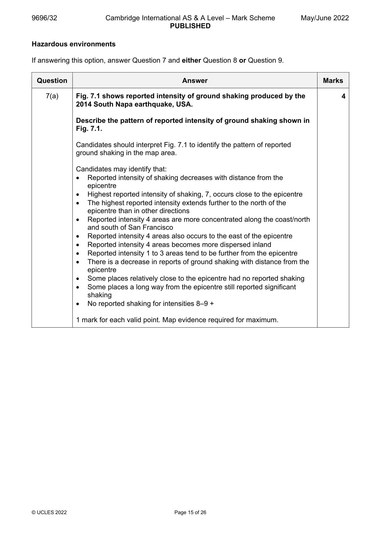
9696/32 Cambridge International AS & A Level – Mark Scheme PUBLISHED May/June 2022 © UCLES 2022 Page 15 of 26 Hazardous environments If answering this option, answer Question 7 and either Question 8 or Question 9. Question Answer Marks 7(a) Fig. 7.1 shows reported intensity of ground shaking produced by the 2014 South Napa earthquake, USA. Describe the pattern of reported intensity of ground shaking shown in Fig. 7.1. Candidates should interpret Fig. 7.1 to identify the pattern of reported ground shaking in the map area. Candidates may identify that: Reported intensity of shaking decreases with distance from the epicentre Highest reported intensity of shaking, 7, occurs close to the epicentre The highest reported intensity extends further to the north of the epicentre than in other directions Reported intensity 4 areas are more concentrated along the coast/north and south of San Francisco Reported intensity 4 areas also occurs to the east of the epicentre Reported intensity 4 areas becomes more dispersed inland Reported intensity 1 to 3 areas tend to be further from the epicentre There is a decrease in reports of ground shaking with distance from the epicentre Some places relatively close to the epicentre had no reported shaking Some places a long way from the epicentre still reported significant shaking No reported shaking for intensities 8–9 + 1 mark for each valid point. Map evidence required for maximum. 4
Mark scheme, page 16
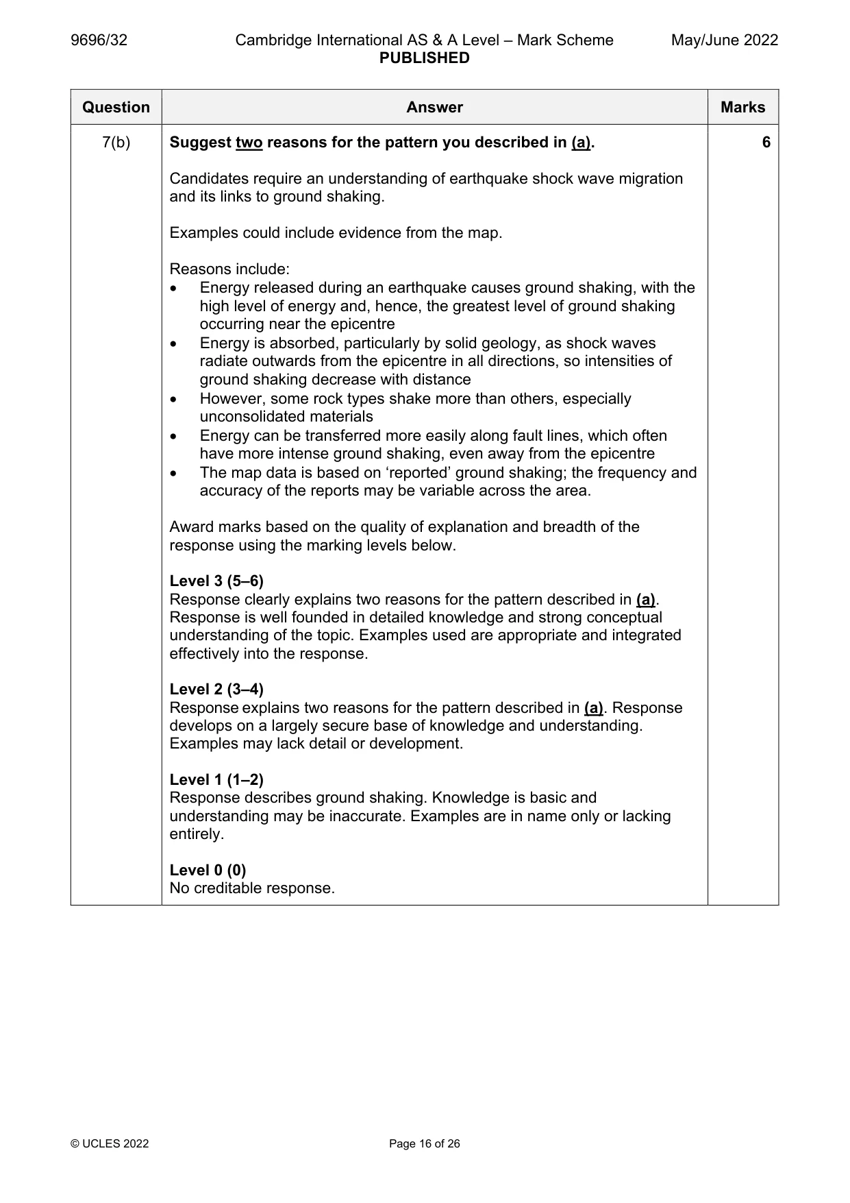
9696/32 Cambridge International AS & A Level – Mark Scheme PUBLISHED May/June 2022 © UCLES 2022 Page 16 of 26 Question Answer Marks 7(b) Suggest two reasons for the pattern you described in (a). Candidates require an understanding of earthquake shock wave migration and its links to ground shaking. Examples could include evidence from the map. Reasons include: Energy released during an earthquake causes ground shaking, with the high level of energy and, hence, the greatest level of ground shaking occurring near the epicentre Energy is absorbed, particularly by solid geology, as shock waves radiate outwards from the epicentre in all directions, so intensities of ground shaking decrease with distance However, some rock types shake more than others, especially unconsolidated materials Energy can be transferred more easily along fault lines, which often have more intense ground shaking, even away from the epicentre The map data is based on ‘reported’ ground shaking; the frequency and accuracy of the reports may be variable across the area. Award marks based on the quality of explanation and breadth of the response using the marking levels below. Level 3 (5–6) Response clearly explains two reasons for the pattern described in (a). Response is well founded in detailed knowledge and strong conceptual understanding of the topic. Examples used are appropriate and integrated effectively into the response. Level 2 (3–4) Response explains two reasons for the pattern described in (a). Response develops on a largely secure base of knowledge and understanding. Examples may lack detail or development. Level 1 (1–2) Response describes ground shaking. Knowledge is basic and understanding may be inaccurate. Examples are in name only or lacking entirely. Level 0 (0) No creditable response. 6
Mark scheme, page 17
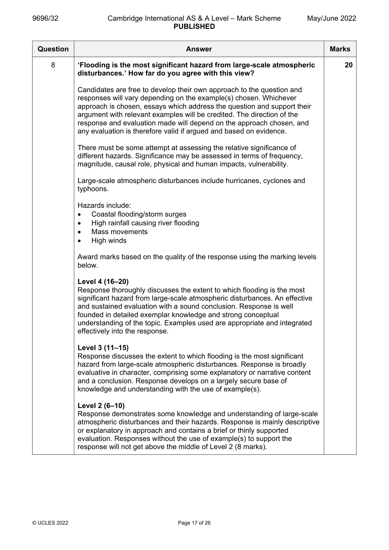
9696/32 Cambridge International AS & A Level – Mark Scheme PUBLISHED May/June 2022 © UCLES 2022 Page 17 of 26 Question Answer Marks 8 ‘Flooding is the most significant hazard from large-scale atmospheric disturbances.’ How far do you agree with this view? Candidates are free to develop their own approach to the question and responses will vary depending on the example(s) chosen. Whichever approach is chosen, essays which address the question and support their argument with relevant examples will be credited. The direction of the response and evaluation made will depend on the approach chosen, and any evaluation is therefore valid if argued and based on evidence. There must be some attempt at assessing the relative significance of different hazards. Significance may be assessed in terms of frequency, magnitude, causal role, physical and human impacts, vulnerability. Large-scale atmospheric disturbances include hurricanes, cyclones and typhoons. Hazards include: Coastal flooding/storm surges High rainfall causing river flooding Mass movements High winds Award marks based on the quality of the response using the marking levels below. Level 4 (16–20) Response thoroughly discusses the extent to which flooding is the most significant hazard from large-scale atmospheric disturbances. An effective and sustained evaluation with a sound conclusion. Response is well founded in detailed exemplar knowledge and strong conceptual understanding of the topic. Examples used are appropriate and integrated effectively into the response. Level 3 (11–15) Response discusses the extent to which flooding is the most significant hazard from large-scale atmospheric disturbances. Response is broadly evaluative in character, comprising some explanatory or narrative content and a conclusion. Response develops on a largely secure base of knowledge and understanding with the use of example(s). Level 2 (6–10) Response demonstrates some knowledge and understanding of large-scale atmospheric disturbances and their hazards. Response is mainly descriptive or explanatory in approach and contains a brief or thinly supported evaluation. Responses without the use of example(s) to support the response will not get above the middle of Level 2 (8 marks). 20
Mark scheme, page 18
9696/32 Cambridge International AS & A Level – Mark Scheme PUBLISHED May/June 2022 © UCLES 2022 Page 18 of 26 Question Answer Marks 8 Level 1 (1–5) Response makes a few general points about large-scale atmospheric disturbances without the associated hazards. A descriptive response comprising a few simple points. Knowledge is basic and understanding may be poor and lack relevance to the question set. Level 0 (0) No creditable response.
Mark scheme, page 19
9696/32 Cambridge International AS & A Level – Mark Scheme PUBLISHED May/June 2022 © UCLES 2022 Page 19 of 26 Question Answer Marks 9 Using a case study, evaluate the attempted or possible solutions to the problems of sustainable management of a hazardous environment. Candidates are free to develop their own approach to the question and responses will vary depending on the example(s) chosen. Whichever approach is chosen, essays which address the question and support their argument with relevant examples will be credited. The direction of the response and evaluation made will depend on the approach chosen, and any evaluation is therefore valid if argued and based on evidence. There should be evaluation of the various solutions, which might include both those that have been attempted and other possible alternatives. Problems might include: Frequency, intensity and type(s) of hazards Difficulties of monitoring and prediction High levels of technology and costs required The strength of governance in the location The fragility of the environment Solutions might include: Use of satellite/computer technology Early warning systems Building design Provision of emergency services Education/drills Evaluation may consider: Effectiveness in saving lives and protecting property Sustainability Cost-benefit analysis Award marks based on the quality of the response using the marking levels below. Level 4 (16–20) Response thoroughly discusses the attempted or possible solutions to the problems of sustainable management of a hazardous environment. An effective and sustained evaluation with a sound conclusion. Response is well founded in detailed exemplar knowledge and strong conceptual understanding of the topic. Examples used are appropriate and integrated effectively into the response. Level 3 (11–15) Response discusses the attempted or possible solutions to the problems of sustainable management of a hazardous environment. Response is broadly evaluative in character, comprising some explanatory or narrative content and a conclusion. Response develops on a largely secure base of knowledge and understanding with the use of example(s). 20
Mark scheme, page 20
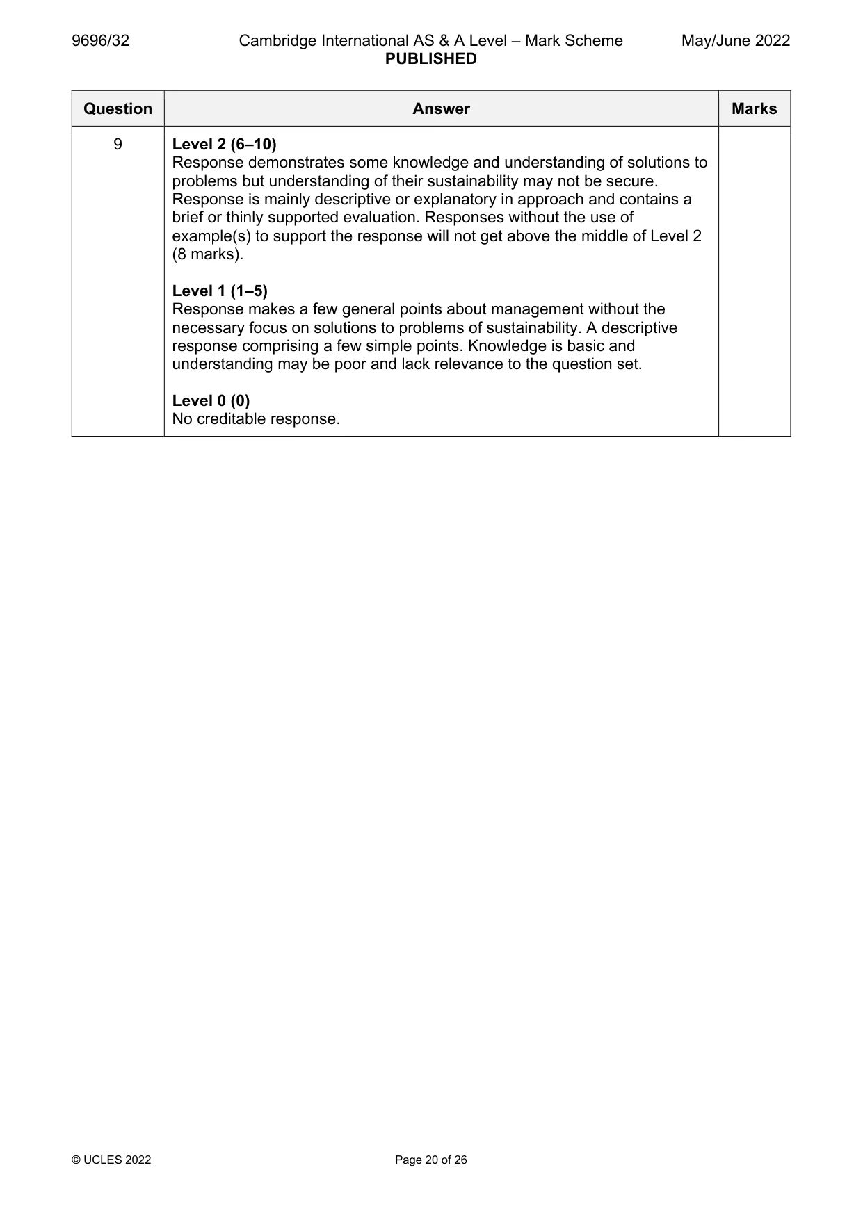
9696/32 Cambridge International AS & A Level – Mark Scheme PUBLISHED May/June 2022 © UCLES 2022 Page 20 of 26 Question Answer Marks 9 Level 2 (6–10) Response demonstrates some knowledge and understanding of solutions to problems but understanding of their sustainability may not be secure. Response is mainly descriptive or explanatory in approach and contains a brief or thinly supported evaluation. Responses without the use of example(s) to support the response will not get above the middle of Level 2 (8 marks). Level 1 (1–5) Response makes a few general points about management without the necessary focus on solutions to problems of sustainability. A descriptive response comprising a few simple points. Knowledge is basic and understanding may be poor and lack relevance to the question set. Level 0 (0) No creditable response.
Mark scheme, page 21
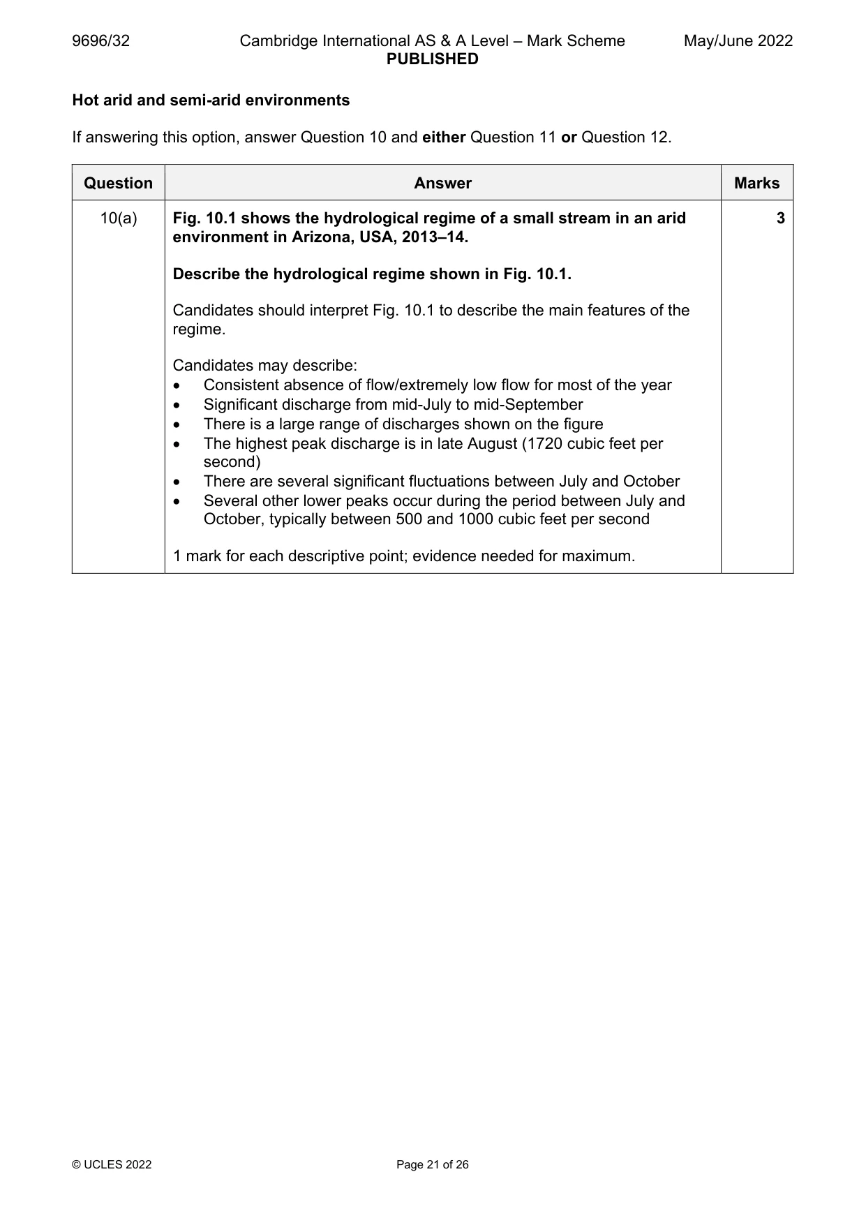
9696/32 Cambridge International AS & A Level – Mark Scheme PUBLISHED May/June 2022 © UCLES 2022 Page 21 of 26 Hot arid and semi-arid environments If answering this option, answer Question 10 and either Question 11 or Question 12. Question Answer Marks 10(a) Fig. 10.1 shows the hydrological regime of a small stream in an arid environment in Arizona, USA, 2013–14. Describe the hydrological regime shown in Fig. 10.1. Candidates should interpret Fig. 10.1 to describe the main features of the regime. Candidates may describe: Consistent absence of flow/extremely low flow for most of the year Significant discharge from mid-July to mid-September There is a large range of discharges shown on the figure The highest peak discharge is in late August (1720 cubic feet per second) There are several significant fluctuations between July and October Several other lower peaks occur during the period between July and October, typically between 500 and 1000 cubic feet per second 1 mark for each descriptive point; evidence needed for maximum. 3
Mark scheme, page 22
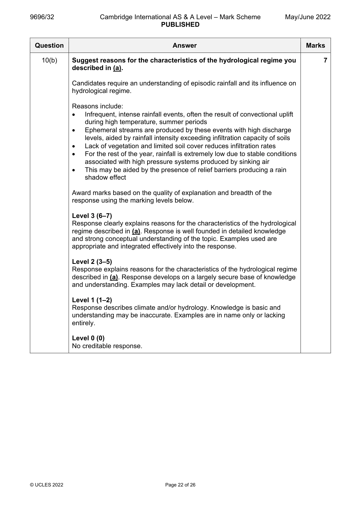
9696/32 Cambridge International AS & A Level – Mark Scheme PUBLISHED May/June 2022 © UCLES 2022 Page 22 of 26 Question Answer Marks 10(b) Suggest reasons for the characteristics of the hydrological regime you described in (a). Candidates require an understanding of episodic rainfall and its influence on hydrological regime. Reasons include: Infrequent, intense rainfall events, often the result of convectional uplift during high temperature, summer periods Ephemeral streams are produced by these events with high discharge levels, aided by rainfall intensity exceeding infiltration capacity of soils Lack of vegetation and limited soil cover reduces infiltration rates For the rest of the year, rainfall is extremely low due to stable conditions associated with high pressure systems produced by sinking air This may be aided by the presence of relief barriers producing a rain shadow effect Award marks based on the quality of explanation and breadth of the response using the marking levels below. Level 3 (6–7) Response clearly explains reasons for the characteristics of the hydrological regime described in (a). Response is well founded in detailed knowledge and strong conceptual understanding of the topic. Examples used are appropriate and integrated effectively into the response. Level 2 (3–5) Response explains reasons for the characteristics of the hydrological regime described in (a). Response develops on a largely secure base of knowledge and understanding. Examples may lack detail or development. Level 1 (1–2) Response describes climate and/or hydrology. Knowledge is basic and understanding may be inaccurate. Examples are in name only or lacking entirely. Level 0 (0) No creditable response. 7
Mark scheme, page 23
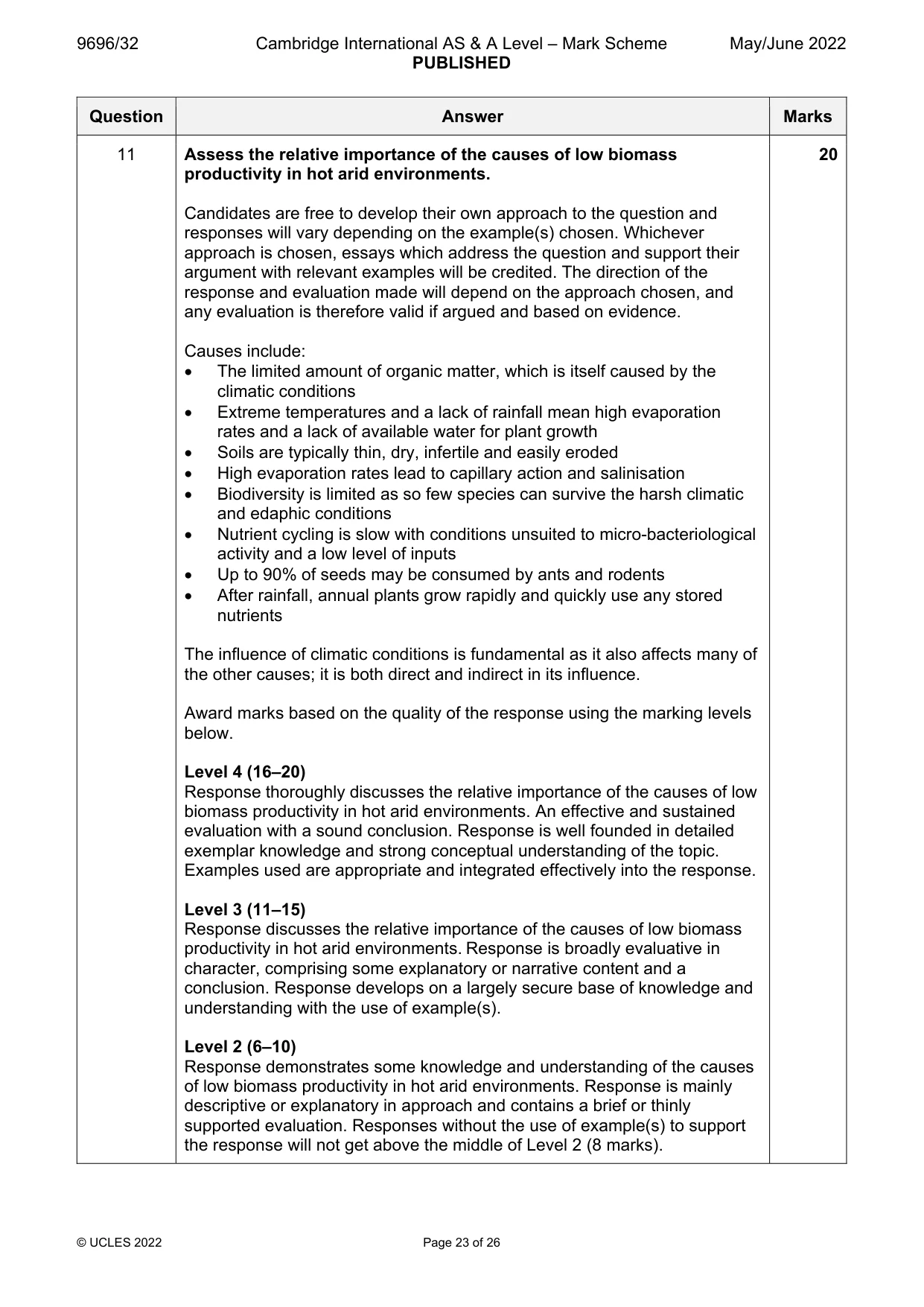
9696/32 Cambridge International AS & A Level – Mark Scheme PUBLISHED May/June 2022 © UCLES 2022 Page 23 of 26 Question Answer Marks 11 Assess the relative importance of the causes of low biomass productivity in hot arid environments. Candidates are free to develop their own approach to the question and responses will vary depending on the example(s) chosen. Whichever approach is chosen, essays which address the question and support their argument with relevant examples will be credited. The direction of the response and evaluation made will depend on the approach chosen, and any evaluation is therefore valid if argued and based on evidence. Causes include: The limited amount of organic matter, which is itself caused by the climatic conditions Extreme temperatures and a lack of rainfall mean high evaporation rates and a lack of available water for plant growth Soils are typically thin, dry, infertile and easily eroded High evaporation rates lead to capillary action and salinisation Biodiversity is limited as so few species can survive the harsh climatic and edaphic conditions Nutrient cycling is slow with conditions unsuited to micro-bacteriological activity and a low level of inputs Up to 90% of seeds may be consumed by ants and rodents After rainfall, annual plants grow rapidly and quickly use any stored nutrients The influence of climatic conditions is fundamental as it also affects many of the other causes; it is both direct and indirect in its influence. Award marks based on the quality of the response using the marking levels below. Level 4 (16–20) Response thoroughly discusses the relative importance of the causes of low biomass productivity in hot arid environments. An effective and sustained evaluation with a sound conclusion. Response is well founded in detailed exemplar knowledge and strong conceptual understanding of the topic. Examples used are appropriate and integrated effectively into the response. Level 3 (11–15) Response discusses the relative importance of the causes of low biomass productivity in hot arid environments. Response is broadly evaluative in character, comprising some explanatory or narrative content and a conclusion. Response develops on a largely secure base of knowledge and understanding with the use of example(s). Level 2 (6–10) Response demonstrates some knowledge and understanding of the causes of low biomass productivity in hot arid environments. Response is mainly descriptive or explanatory in approach and contains a brief or thinly supported evaluation. Responses without the use of example(s) to support the response will not get above the middle of Level 2 (8 marks). 20
Mark scheme, page 24
9696/32 Cambridge International AS & A Level – Mark Scheme PUBLISHED May/June 2022 © UCLES 2022 Page 24 of 26 Question Answer Marks 11 Level 1 (1–5) Response makes a few general points about causes without the necessary focus on their importance. A descriptive response comprising a few simple points. Knowledge is basic and understanding may be poor and lack relevance to the question set. Level 0 (0) No creditable response.
Mark scheme, page 25
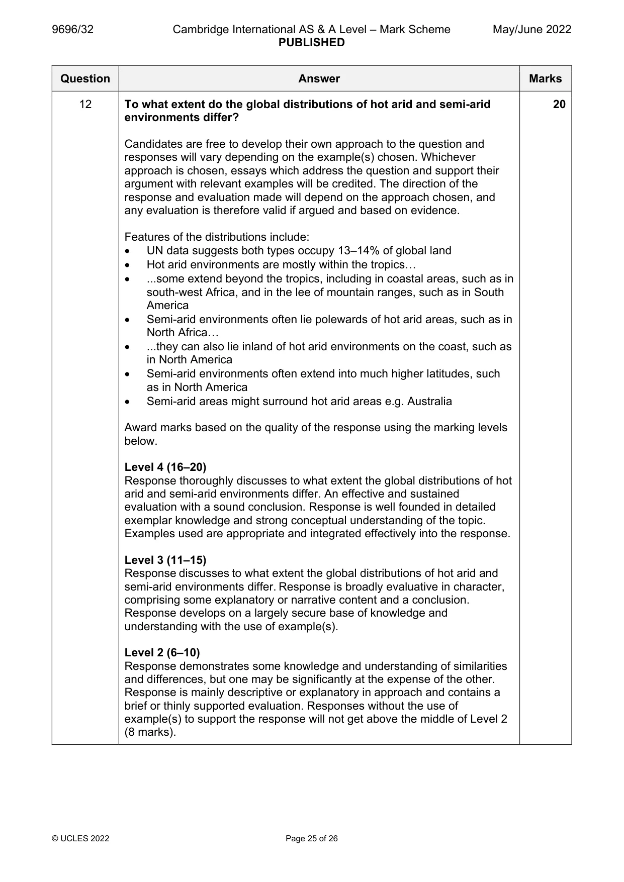
9696/32 Cambridge International AS & A Level – Mark Scheme PUBLISHED May/June 2022 © UCLES 2022 Page 25 of 26 Question Answer Marks 12 To what extent do the global distributions of hot arid and semi-arid environments differ? Candidates are free to develop their own approach to the question and responses will vary depending on the example(s) chosen. Whichever approach is chosen, essays which address the question and support their argument with relevant examples will be credited. The direction of the response and evaluation made will depend on the approach chosen, and any evaluation is therefore valid if argued and based on evidence. Features of the distributions include: UN data suggests both types occupy 13–14% of global land Hot arid environments are mostly within the tropics… ...some extend beyond the tropics, including in coastal areas, such as in south-west Africa, and in the lee of mountain ranges, such as in South America Semi-arid environments often lie polewards of hot arid areas, such as in North Africa… ...they can also lie inland of hot arid environments on the coast, such as in North America Semi-arid environments often extend into much higher latitudes, such as in North America Semi-arid areas might surround hot arid areas e.g. Australia Award marks based on the quality of the response using the marking levels below. Level 4 (16–20) Response thoroughly discusses to what extent the global distributions of hot arid and semi-arid environments differ. An effective and sustained evaluation with a sound conclusion. Response is well founded in detailed exemplar knowledge and strong conceptual understanding of the topic. Examples used are appropriate and integrated effectively into the response. Level 3 (11–15) Response discusses to what extent the global distributions of hot arid and semi-arid environments differ. Response is broadly evaluative in character, comprising some explanatory or narrative content and a conclusion. Response develops on a largely secure base of knowledge and understanding with the use of example(s). Level 2 (6–10) Response demonstrates some knowledge and understanding of similarities and differences, but one may be significantly at the expense of the other. Response is mainly descriptive or explanatory in approach and contains a brief or thinly supported evaluation. Responses without the use of example(s) to support the response will not get above the middle of Level 2 (8 marks). 20
Mark scheme, page 26
9696/32 Cambridge International AS & A Level – Mark Scheme PUBLISHED May/June 2022 © UCLES 2022 Page 26 of 26 Question Answer Marks 12 Level 1 (1–5) Response makes a few general points about distributions without the necessary focus on similarities and differences. A descriptive response comprising a few simple points. Knowledge is basic and understanding may be poor and lack relevance to the question set. Level 0 (0) No creditable response.
What you needed in this session
Cambridge’s own grade thresholds for 2022 May/June, Paper 3 · Variant 2. A higher threshold means an easier paper — the bar moves with how the cohort did.