Cambridge A Level Geography 9696 — 2018 May/June Paper 3 · Variant 2
9696/32/M/J/18 · 12 questions · 60 marks · ≈68 min
The question paper and its mark scheme, free to read here and free to download. This is Cambridge’s own paper, exactly as it was sat.
Question paper4 pages

Mark scheme24 pages
Answers below. Sit the paper first if you are practising.










Questions as text
Q1 · A model of total annual precipitation and annual mean temperature for ecosystems
1 Fig. 1.1 shows a model of total annual precipitation and annual mean temperature for ecosystems. (a) Using Fig. 1.1, contrast the precipitation and temperatures of tropical rainforest and savanna ecosystems. [4] (b) Outline reasons for the variations in precipitation and temperature for the savanna ecosystem shown in Fig. 1.1. [6]
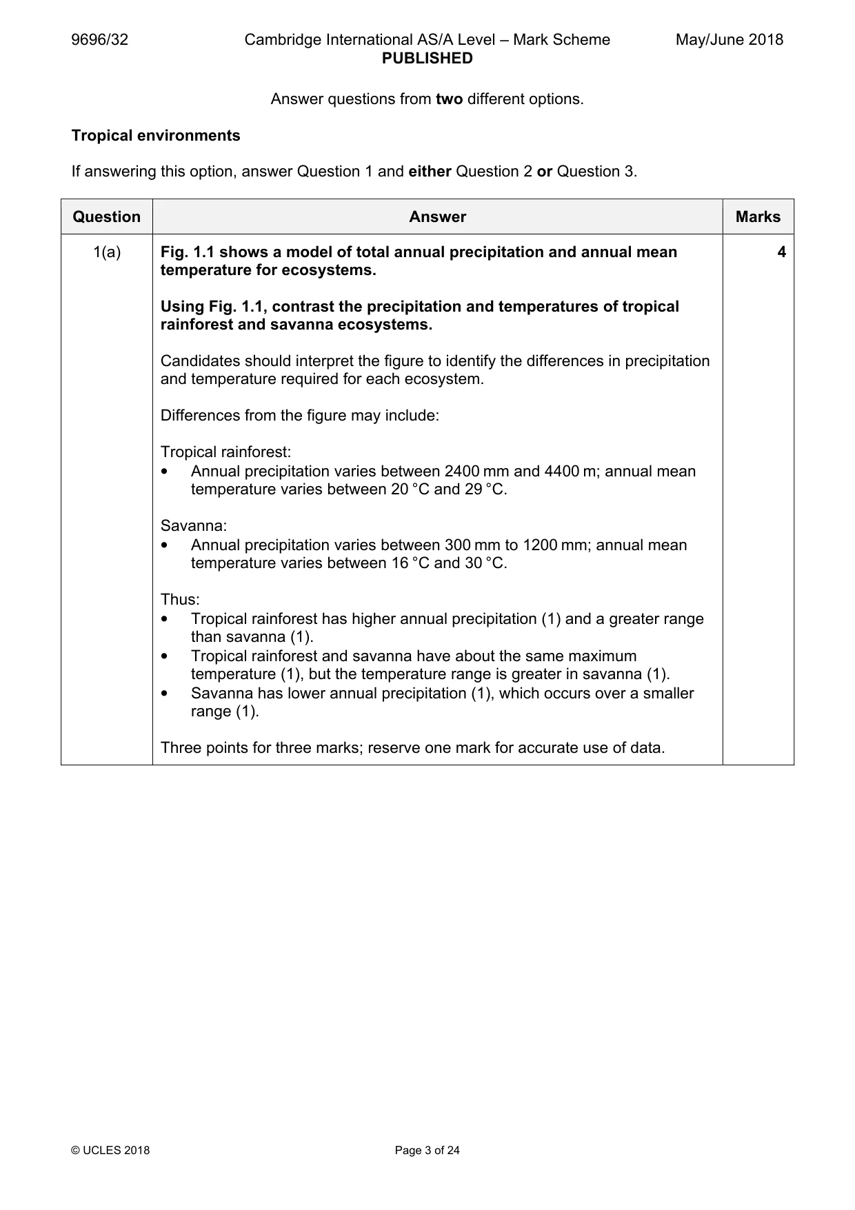
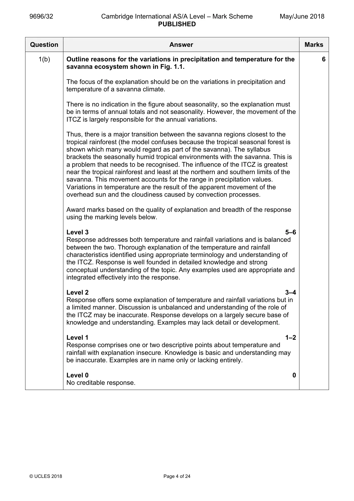
Mark scheme: Question Answer Marks 1(a) Fig. 1.1 shows a model of total annual precipitation and annual mean 4 temperature for ecosystems. Using Fig. 1.1, contrast the precipitation and temperatures of tropical rainforest and savanna ecosystems. Candidates should interpret the figure to identify the differences in precipitation and temperature required for each ecosystem. Differences from the figure may include: Tropical rainforest: • Annual precipitation varies between 2400 mm and 4400 m; annual mean temperature varies between 20 °C and 29 °C. Savanna: • Annual precipitation varies between 300 mm to 1200 mm; annual mean temperature varies between 16 °C and 30 °C. Thus: • Tropical rainforest has higher annual precipitation (1) and a greater range than savanna (1). • Tropical rainforest and savanna have about the same maximum temperature (1), but the temperature range is greater in savanna (1). • Savanna has lower annual precipitation (1), which occurs over a smaller range (1). Three points for three marks; reserve one mark for accurate use of data. 1(b) Outline reasons for the variations in precipitation and temperature for the 6 savanna ecosystem shown in Fig. 1.1. The focus of the explanation should be on the variations in precipitation and temperature of a savanna climate. There is no indication in the figure about seasonality, so the explanation must be in terms of annual totals and not seasonality. However, the movement of the ITCZ is largely responsible for the annual variations. Thus, there is a major transition between the savanna regions closest to the tropical rainforest (the model confuses because the tropical seasonal forest is shown which many would regard as part of the savanna). The syllabus brackets the seasonally humid tropical environments with the savanna. This is a problem that needs to be recognised. The influence of the ITCZ is greatest near the tropical rainforest and least at the northern and southern limits of the savanna. This movement accounts for the range in precipitation values. Variations in temperature are the result of the apparent movement of the overhead sun and the cloudiness caused by convection processes. Award marks based on the quality of explanation and breadth of the response using the marking levels below. Level 3 5–6 Response addresses both temperature and rainfall variations and is balanced between the two. Thorough explanation of the temperature and rainfall characteristics identified using appropriate terminology and understanding of the ITCZ. Response is well founded in detailed knowledge and strong conceptual understanding of the topic. Any examples used are appropriate and integrated effectively into the response. Level 2 3–4 Response offers some explanation of temperature and rainfall variations but in a limited manner. Discussion is unbalanced and understanding of the role of the ITCZ may be inaccurate. Response develops on a largely secure base of knowledge and understanding. Examples may lack detail or development. Level 1 1–2 Response comprises one or two descriptive points about temperature and rainfall with explanation insecure. Knowledge is basic and understanding may be inaccurate. Examples are in name only or lacking entirely. Level 0 0 No creditable response.
Q2 · For one tropical ecosystem, assess the extent to which soil fertility is a result of…
2 For one tropical ecosystem, assess the extent to which soil fertility is a result of vegetation characteristics. [20]
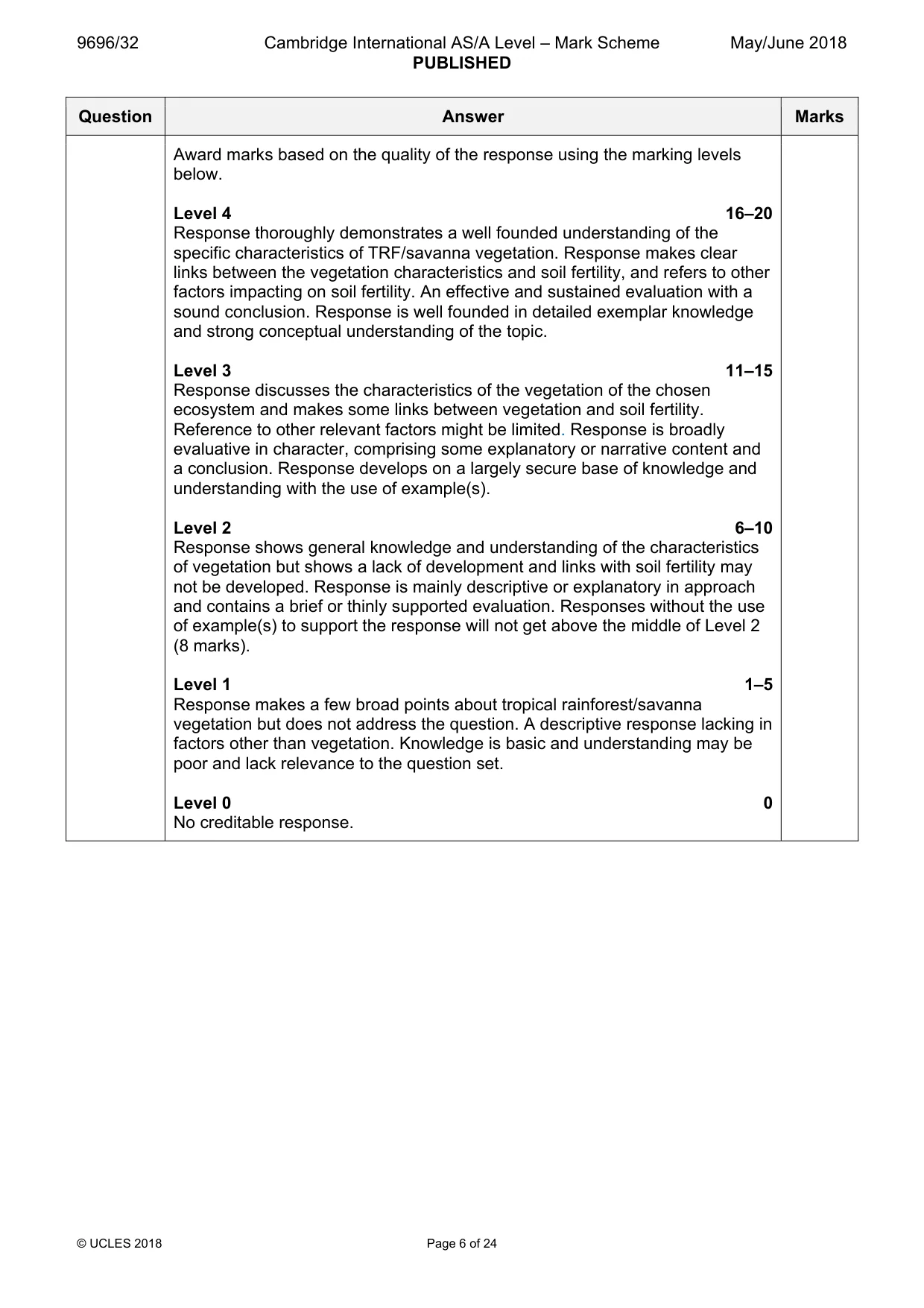
Mark scheme: 2 For one tropical ecosystem, assess the extent to which soil fertility is a 20 result of vegetation characteristics. Candidates are free to develop their own approach to the question and responses will vary depending on the ecosystem chosen. Whichever approach is chosen, essays should discuss vegetation and soil fertility and support their argument with relevant examples. There may be detailed consideration of one or more examples or a broadly conceived response, drawing on several examples to show the factors involved. The question is evaluative, thus factors affecting soil fertility other than vegetation need to be considered. For TRF, vegetation characteristics are: • dense vegetation with emergents, canopy and shrub layers • trees are evergreen deciduous, buttress roots, drip tips and epiphytes, limited ground flora • biomass store is large, with rapid flows due to climatic characteristics Soil fertility is related to nutrients and nutrient cycling: • high temperatures and rainfall cause deep weathering and intense leaching of nutrients and minerals down through soil • soil stores are low because of nutrient losses from leaching • parent material influences mineral composition of soil; granite, which is a frequent rock type, produces soils which are generally poor in nutrients, thus the majority of the nutrients come from the vegetation • warm, wet conditions allow plants and microbes to thrive and cause rapid breakdown of organic material, thus litter stores are small • litter store is also limited by biomass uptake Candidates need to discuss other factors, such as the effect of human activities. Thus: • human impact by clearing vegetation, removal of shrubs and burning is an important aspect of soil fertility • after harvesting crops, soil fertility declines as land is exposed to leaching and nutrients are exhausted • soil erosion also leads to a loss of nutrients For savanna vegetation, characteristics are: • open forest to open parkland, tall grasses and shrubs • tall, open canopies of drought-resistant, fire-resistant trees Soil fertility is affected by: • the seasonality of the climate with a contrast between downwards leaching in the wet season and upward movement of minerals in the dry season • fire, animal grazing and human activities The relationship between vegetation and soil is clear, but other factors such as rainfall, temperature, and human activity are also relevant. There will be limited cycling of nutrients and there will be the contrast between downward leaching in the wet season and upward capillary action in the dry season with perhaps laterite concretions which will affect soil fertility. Soil fertility will also be affected by fire, grazing and removal of vegetation. Award marks based on the quality of the response using the marking levels below. Level 4 16–20 Response thoroughly demonstrates a well founded understanding of the specific characteristics of TRF/savanna vegetation. Response makes clear links between the vegetation characteristics and soil fertility, and refers to other factors impacting on soil fertility. An effective and sustained evaluation with a sound conclusion. Response is well founded in detailed exemplar knowledge and strong conceptual understanding of the topic. Level 3 11–15 Response discusses the characteristics of the vegetation of the chosen ecosystem and makes some links between vegetation and soil fertility. Reference to other relevant factors might be limited. Response is broadly evaluative in character, comprising some explanatory or narrative content and a conclusion. Response develops on a largely secure base of knowledge and understanding with the use of example(s). Level 2 6–10 Response shows general knowledge and understanding of the characteristics of vegetation but shows a lack of development and links with soil fertility may not be developed. Response is mainly descriptive or explanatory in approach and contains a brief or thinly supported evaluation. Responses without the use of example(s) to support the response will not get above the middle of Level 2 (8 marks). Level 1 1–5 Response makes a few broad points about tropical rainforest/savanna vegetation but does not address the question. A descriptive response lacking in factors other than vegetation. Knowledge is basic and understanding may be poor and lack relevance to the question set. Level 0 0 No creditable response.
Q3 · Describe some of the threats (exploitation) and assess the problems of sustainable…
3 Describe some of the threats (exploitation) and assess the problems of sustainable management of either the tropical rainforest ecosystem or the savanna ecosystem you have studied. [20] [Total: 30] Coastal environments If answering this option, answer Question 4 and either Question 5 or Question 6.
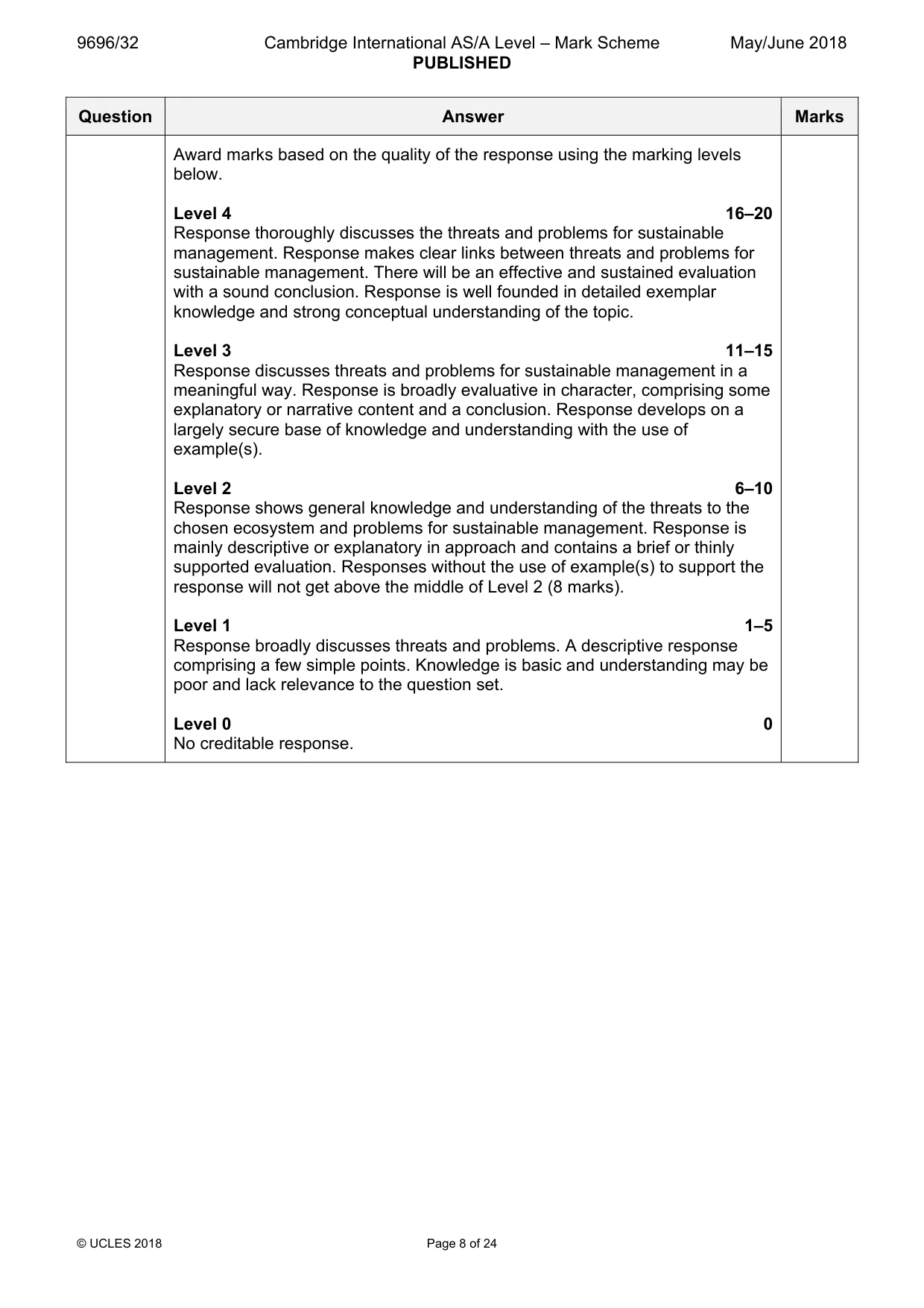
Mark scheme: 3 Describe some of the threats (exploitation) and assess the problems of 20 sustainable management of either the tropical rainforest ecosystem or the savanna ecosystem you have studied. Candidates are free to develop their own approach to the question and responses will vary depending on the ecosystem chosen. Whichever approach is chosen, essays which discuss threats and support their argument with relevant examples will be credited. There may be detailed consideration of a case study or a broadly conceived response, drawing on several examples to show the factors involved. In the case of the TRF, the main issues are: • Traditional slash and burn activities where vegetation is cut down to allow farming activities. Clearing involving removal of shrubs and small trees, and burning is important for producing ash, the source of fertility. Crops are harvested and after a number of years, soil fertility declines as land is exposed to leaching and nutrients are exhausted. • Lumber and agriculture industries have a very adverse effect due to soil fertility being only good enough to grow crops for a few years after it has been cleared. Farmers clear more and more forest each year to satisfy the needs of consumers. • In mining, large areas of forest are cleared and roads are built to access the mines. Chemicals may leach and flow into river courses. The problems are related to these threats. This greatly affects the diversity of the ecosystem. TRF contains 50% of the world’s biodiversity and the massive deforestation results in an estimated 2% loss annually. Also, approximately 137 species are lost very day. In the savanna, the main issues are: • deforestation, grazing and the growth of agriculture, with increased use of fertilisers • irrigation leading to loss of nutrients and perhaps salinization in the dry season • monoculture severely depletes soil nutrients leading to degradation • overgrazing causes the removal of vegetation at water holes, while prevention of fires causes bush encroachment Award marks based on the quality of the response using the marking levels below. Level 4 16–20 Response thoroughly discusses the threats and problems for sustainable management. Response makes clear links between threats and problems for sustainable management. There will be an effective and sustained evaluation with a sound conclusion. Response is well founded in detailed exemplar knowledge and strong conceptual understanding of the topic. Level 3 11–15 Response discusses threats and problems for sustainable management in a meaningful way. Response is broadly evaluative in character, comprising some explanatory or narrative content and a conclusion. Response develops on a largely secure base of knowledge and understanding with the use of example(s). Level 2 6–10 Response shows general knowledge and understanding of the threats to the chosen ecosystem and problems for sustainable management. Response is mainly descriptive or explanatory in approach and contains a brief or thinly supported evaluation. Responses without the use of example(s) to support the response will not get above the middle of Level 2 (8 marks). Level 1 1–5 Response broadly discusses threats and problems. A descriptive response comprising a few simple points. Knowledge is basic and understanding may be poor and lack relevance to the question set. Level 0 0 No creditable response. Coastal environments If answering this option, answer Question 4 and either Question 5 or Question 6.
Question 4
4 Fig. 4.1 shows a coastal environment. (a) With the aid of a labelled diagram, describe the characteristics of one coastal depositional landform shown in Fig. 4.1. [3] (b) Explain the roles of marine transportation and deposition in the formation of one coastal depositional landform shown in Fig. 4.1. [7]
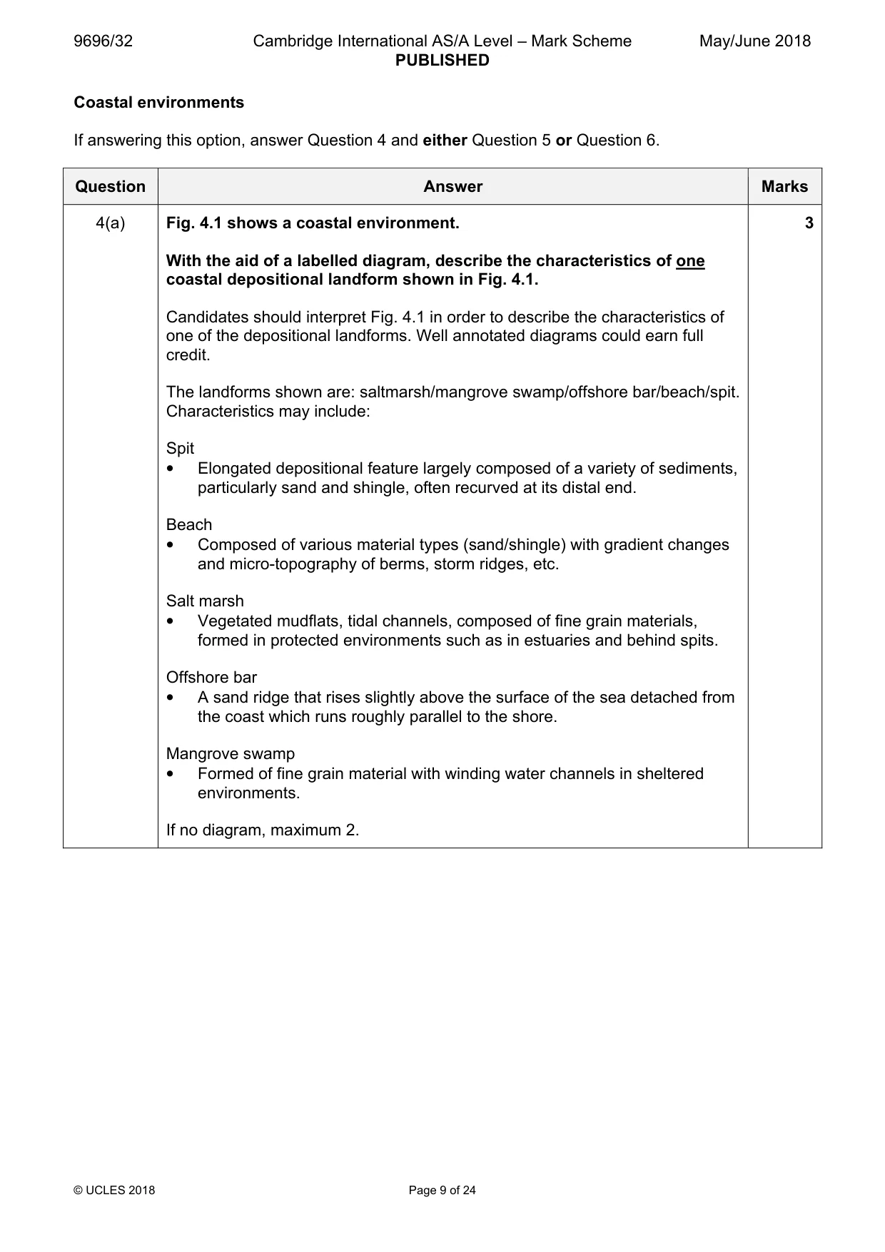
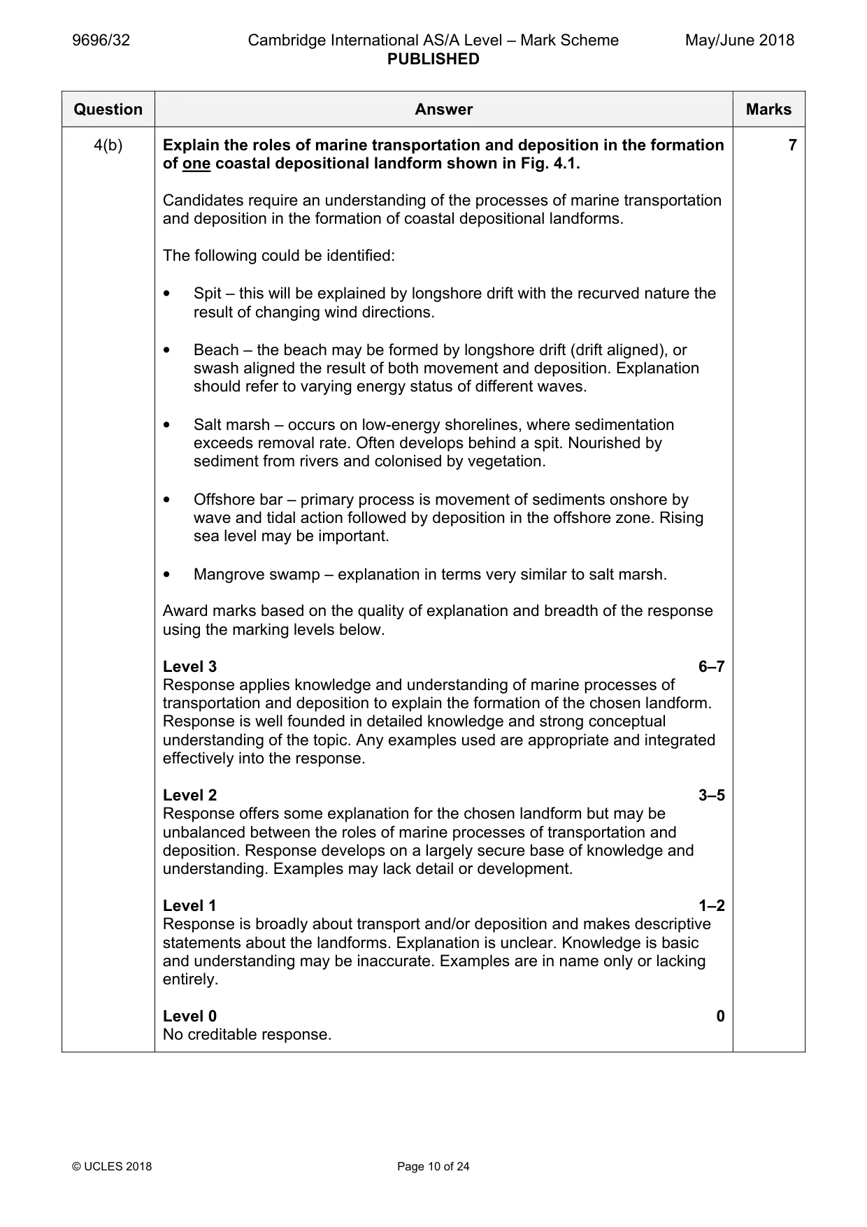
Mark scheme: 4(a) Fig. 4.1 shows a coastal environment. 3 With the aid of a labelled diagram, describe the characteristics of one coastal depositional landform shown in Fig. 4.1. Candidates should interpret Fig. 4.1 in order to describe the characteristics of one of the depositional landforms. Well annotated diagrams could earn full credit. The landforms shown are: saltmarsh/mangrove swamp/offshore bar/beach/spit. Characteristics may include: Spit • Elongated depositional feature largely composed of a variety of sediments, particularly sand and shingle, often recurved at its distal end. Beach • Composed of various material types (sand/shingle) with gradient changes and micro-topography of berms, storm ridges, etc. Salt marsh • Vegetated mudflats, tidal channels, composed of fine grain materials, formed in protected environments such as in estuaries and behind spits. Offshore bar • A sand ridge that rises slightly above the surface of the sea detached from the coast which runs roughly parallel to the shore. Mangrove swamp • Formed of fine grain material with winding water channels in sheltered environments. If no diagram, maximum 2. 4(b) Explain the roles of marine transportation and deposition in the formation 7 of one coastal depositional landform shown in Fig. 4.1. Candidates require an understanding of the processes of marine transportation and deposition in the formation of coastal depositional landforms. The following could be identified: • Spit – this will be explained by longshore drift with the recurved nature the result of changing wind directions. • Beach – the beach may be formed by longshore drift (drift aligned), or swash aligned the result of both movement and deposition. Explanation should refer to varying energy status of different waves. • Salt marsh – occurs on low-energy shorelines, where sedimentation exceeds removal rate. Often develops behind a spit. Nourished by sediment from rivers and colonised by vegetation. • Offshore bar – primary process is movement of sediments onshore by wave and tidal action followed by deposition in the offshore zone. Rising sea level may be important. • Mangrove swamp – explanation in terms very similar to salt marsh. Award marks based on the quality of explanation and breadth of the response using the marking levels below. Level 3 6–7 Response applies knowledge and understanding of marine processes of transportation and deposition to explain the formation of the chosen landform. Response is well founded in detailed knowledge and strong conceptual understanding of the topic. Any examples used are appropriate and integrated effectively into the response. Level 2 3–5 Response offers some explanation for the chosen landform but may be unbalanced between the roles of marine processes of transportation and deposition. Response develops on a largely secure base of knowledge and understanding. Examples may lack detail or development. Level 1 1–2 Response is broadly about transport and/or deposition and makes descriptive statements about the landforms. Explanation is unclear. Knowledge is basic and understanding may be inaccurate. Examples are in name only or lacking entirely. Level 0 0 No creditable response.
Q5 · With the aid of examples, evaluate the role of sea level change in the formation of…
5 With the aid of examples, evaluate the role of sea level change in the formation of coastal landforms. [20]
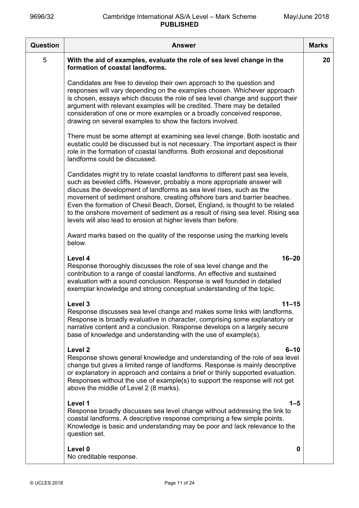
Mark scheme: 5 With the aid of examples, evaluate the role of sea level change in the 20 formation of coastal landforms. Candidates are free to develop their own approach to the question and responses will vary depending on the examples chosen. Whichever approach is chosen, essays which discuss the role of sea level change and support their argument with relevant examples will be credited. There may be detailed consideration of one or more examples or a broadly conceived response, drawing on several examples to show the factors involved. There must be some attempt at examining sea level change. Both isostatic and eustatic could be discussed but is not necessary. The important aspect is their role in the formation of coastal landforms. Both erosional and depositional landforms could be discussed. Candidates might try to relate coastal landforms to different past sea levels, such as beveled cliffs. However, probably a more appropriate answer will discuss the development of landforms as sea level rises, such as the movement of sediment onshore, creating offshore bars and barrier beaches. Even the formation of Chesil Beach, Dorset, England, is thought to be related to the onshore movement of sediment as a result of rising sea level. Rising sea levels will also lead to erosion at higher levels than before. Award marks based on the quality of the response using the marking levels below. Level 4 16–20 Response thoroughly discusses the role of sea level change and the contribution to a range of coastal landforms. An effective and sustained evaluation with a sound conclusion. Response is well founded in detailed exemplar knowledge and strong conceptual understanding of the topic. Level 3 11–15 Response discusses sea level change and makes some links with landforms. Response is broadly evaluative in character, comprising some explanatory or narrative content and a conclusion. Response develops on a largely secure base of knowledge and understanding with the use of example(s). Level 2 6–10 Response shows general knowledge and understanding of the role of sea level change but gives a limited range of landforms. Response is mainly descriptive or explanatory in approach and contains a brief or thinly supported evaluation. Responses without the use of example(s) to support the response will not get above the middle of Level 2 (8 marks). Level 1 1–5 Response broadly discusses sea level change without addressing the link to coastal landforms. A descriptive response comprising a few simple points. Knowledge is basic and understanding may be poor and lack relevance to the question set. Level 0 0 No creditable response.
Q6 · ‘Hard engineering techniques are high technology, high cost, unsustainable solutions in…
6 ‘Hard engineering techniques are high technology, high cost, unsustainable solutions in coastal environments.’ How far do you agree with this view? [20] [Total: 30] Hazardous environments If answering this option, answer Question 7 and either Question 8 or Question 9.
Mark scheme: 6 ‘Hard engineering techniques are high technology, high cost, 20 unsustainable solutions in coastal environments.’ How far do you agree with this view? Candidates are free to develop their own approach to the question and responses will vary depending on the examples chosen. Whichever approach is chosen, essays which discuss hard engineering techniques and support their argument with relevant examples will be credited. An assessment of their sustainability is expected. There may be detailed consideration of a case study or a broadly conceived response, drawing on several examples to show the factors involved. A range of hard engineering approaches could include: groynes, sea walls, revetments, rock armour, gabions. Award marks based on the quality of the response using the marking levels below. Level 4 16–20 Response thoroughly discusses a range of hard engineering techniques, with respect to their levels of technology and cost, and has a strong assessment of the extent to which they work with nature and their sustainability. Response makes clear links between hard engineering, technology, cost and the level of sustainability. An effective and sustained evaluation with a sound conclusion. Response is well founded in detailed exemplar knowledge and strong conceptual understanding of the topic. Level 3 11–15 Response discusses the different techniques of hard engineering and makes some links with the question of nature and sustainability. Response is broadly evaluative in character, comprising some explanatory or narrative content and a conclusion. Response develops on a largely secure base of knowledge and understanding with the use of example(s). Level 2 6–10 Response shows general knowledge and understanding of a limited range of hard engineering techniques. Response is mainly descriptive in approach and contains a brief or thinly supported evaluation. Responses without the use of example(s) to support the response will not get above the middle of Level 2 (8 marks). Level 1 1–5 Response broadly discusses hard engineering techniques but does not address the question or come to a convincing conclusion. A descriptive response comprising a few simple points. Knowledge is basic and understanding may be poor and lack relevance to the question set. Level 0 0 No creditable response. Hazardous environments If answering this option, answer Question 7 and either Question 8 or Question 9.
Q7 · The global distribution of tropical storms (cyclones, hurricanes and typhoons)
7 Fig. 7.1 shows the global distribution of tropical storms (cyclones, hurricanes and typhoons). (a) Using Fig. 7.1, describe the global distribution of tropical storms (cyclones, hurricanes and typhoons). [4] (b) Outline reasons for the global distribution of tropical storms described in (a). [6]
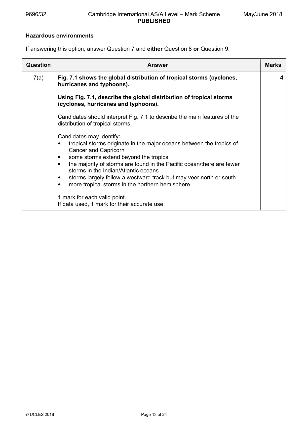
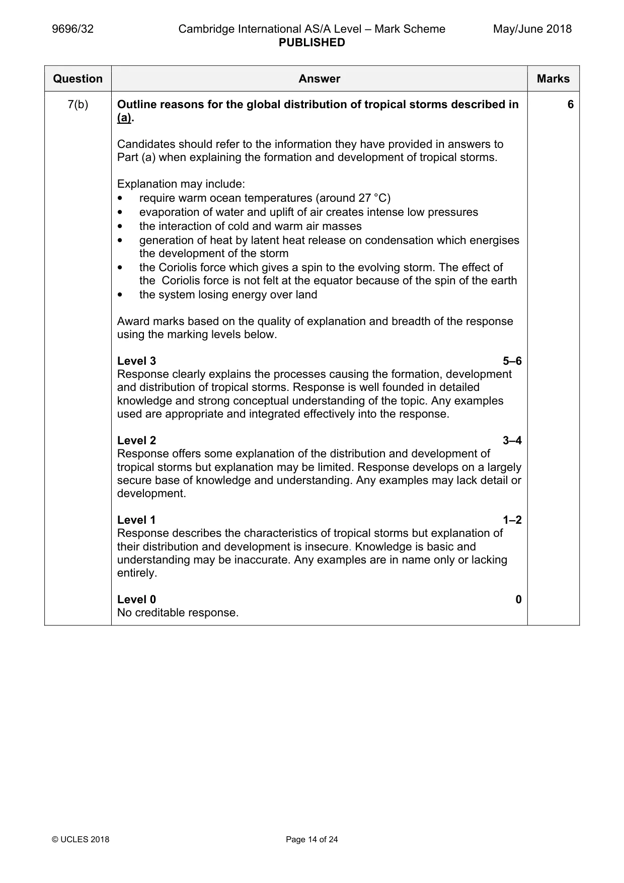
Mark scheme: 7(a) Fig. 7.1 shows the global distribution of tropical storms (cyclones, 4 hurricanes and typhoons). Using Fig. 7.1, describe the global distribution of tropical storms (cyclones, hurricanes and typhoons). Candidates should interpret Fig. 7.1 to describe the main features of the distribution of tropical storms. Candidates may identify: • tropical storms originate in the major oceans between the tropics of Cancer and Capricorn • some storms extend beyond the tropics • the majority of storms are found in the Pacific ocean/there are fewer storms in the Indian/Atlantic oceans • storms largely follow a westward track but may veer north or south • more tropical storms in the northern hemisphere 1 mark for each valid point. If data used, 1 mark for their accurate use. 7(b) Outline reasons for the global distribution of tropical storms described in 6 (a). Candidates should refer to the information they have provided in answers to Part (a) when explaining the formation and development of tropical storms. Explanation may include: • require warm ocean temperatures (around 27 °C) • evaporation of water and uplift of air creates intense low pressures • the interaction of cold and warm air masses • generation of heat by latent heat release on condensation which energises the development of the storm • the Coriolis force which gives a spin to the evolving storm. The effect of the Coriolis force is not felt at the equator because of the spin of the earth • the system losing energy over land Award marks based on the quality of explanation and breadth of the response using the marking levels below. Level 3 5–6 Response clearly explains the processes causing the formation, development and distribution of tropical storms. Response is well founded in detailed knowledge and strong conceptual understanding of the topic. Any examples used are appropriate and integrated effectively into the response. Level 2 3–4 Response offers some explanation of the distribution and development of tropical storms but explanation may be limited. Response develops on a largely secure base of knowledge and understanding. Any examples may lack detail or development. Level 1 1–2 Response describes the characteristics of tropical storms but explanation of their distribution and development is insecure. Knowledge is basic and understanding may be inaccurate. Any examples are in name only or lacking entirely. Level 0 0 No creditable response.
Q8 · ‘The impacts on lives and property from volcanoes are greater than those from…
8 ‘The impacts on lives and property from volcanoes are greater than those from earthquakes.’ How far do you agree with this view? [20]
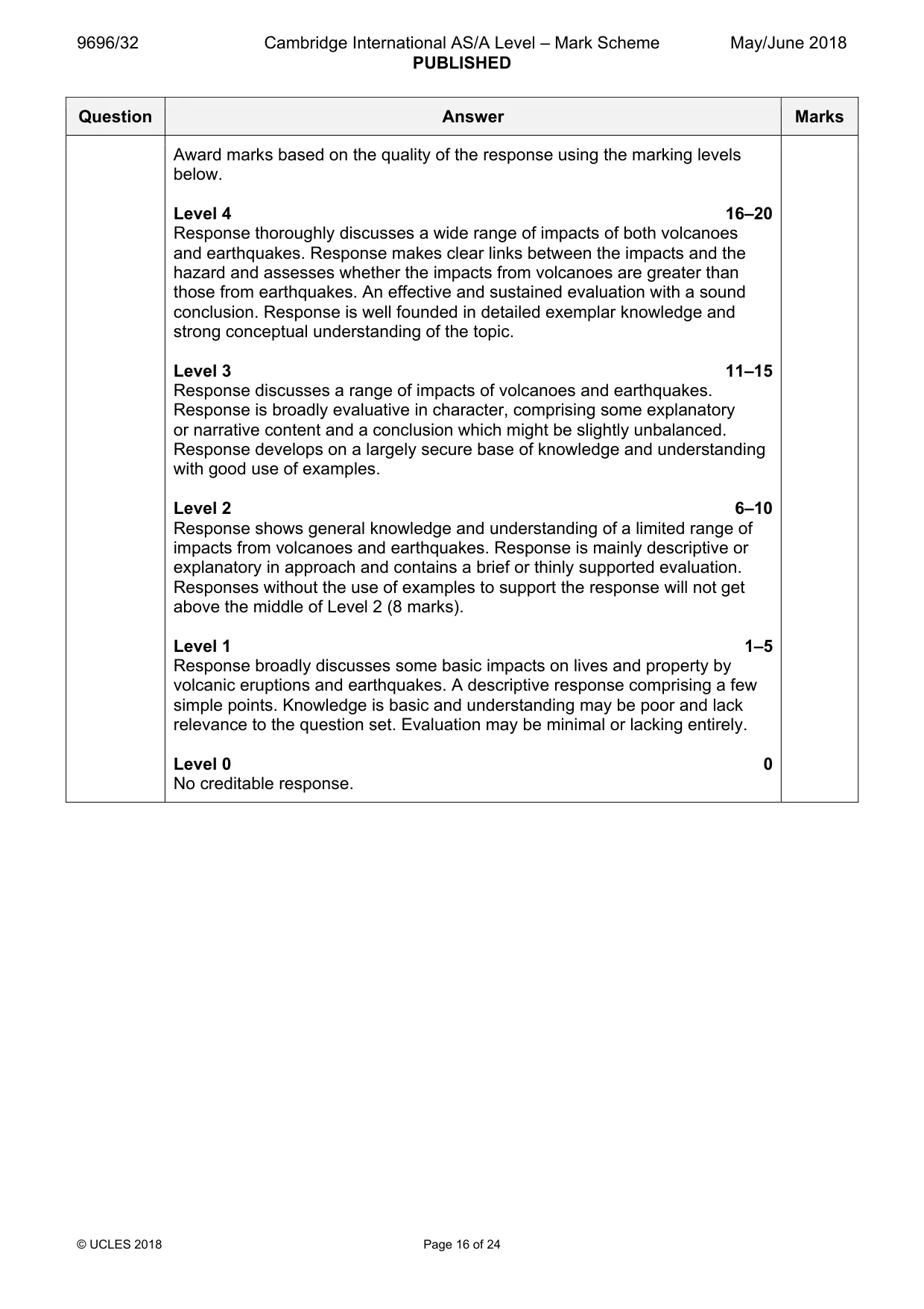
Mark scheme: 8 ‘The impacts on lives and property from volcanoes are greater than those 20 from earthquakes.’ How far do you agree with this view? Candidates are free to develop their own approach to the question and responses will vary depending on the examples chosen. Whichever approach is chosen, essays which discuss the impacts of volcanoes and earthquakes, and support their answer with relevant examples, will be credited. There may be detailed consideration of a case study or a broadly conceived response, drawing on several examples to show the factors involved. Impacts which may be discussed include: Volcanoes – eruptions can have a devastating effect on people and the environment. Impacts are generally negative and will depend on the type of volcanic activity, thus the impacts from pyroclastic flows are different than the impacts from ash falls or lava flows. However, there may be some positive impacts such as volcanic ash creating fertile soils for productive agriculture and the benefits of tourism for the local economy. Earthquakes – primary effects are immediate damage such as collapsing buildings, roads and bridges, which may kill many people. Secondary effects are the aftereffects of earthquakes, such as fires, tsunami, landslides, soil liquefaction and disease. All these are negative impacts. Award marks based on the quality of the response using the marking levels below. Level 4 16–20 Response thoroughly discusses a wide range of impacts of both volcanoes and earthquakes. Response makes clear links between the impacts and the hazard and assesses whether the impacts from volcanoes are greater than those from earthquakes. An effective and sustained evaluation with a sound conclusion. Response is well founded in detailed exemplar knowledge and strong conceptual understanding of the topic. Level 3 11–15 Response discusses a range of impacts of volcanoes and earthquakes. Response is broadly evaluative in character, comprising some explanatory or narrative content and a conclusion which might be slightly unbalanced. Response develops on a largely secure base of knowledge and understanding with good use of examples. Level 2 6–10 Response shows general knowledge and understanding of a limited range of impacts from volcanoes and earthquakes. Response is mainly descriptive or explanatory in approach and contains a brief or thinly supported evaluation. Responses without the use of examples to support the response will not get above the middle of Level 2 (8 marks). Level 1 1–5 Response broadly discusses some basic impacts on lives and property by volcanic eruptions and earthquakes. A descriptive response comprising a few simple points. Knowledge is basic and understanding may be poor and lack relevance to the question set. Evaluation may be minimal or lacking entirely. Level 0 0 No creditable response.
Q9 · With the aid of examples, assess how prediction, preparedness and monitoring of tornadoes…
9 With the aid of examples, assess how prediction, preparedness and monitoring of tornadoes can reduce the impacts on lives and property. [20] [Total: 30] Hot arid and semi-arid environments If answering this option, answer Question 10 and either Question 11 or Question 12.
Mark scheme: 9 With the aid of examples, assess how prediction, preparedness and 20 monitoring of tornadoes can reduce the impacts on lives and property. Candidates are free to develop their own approach to the question and responses will vary depending on the examples chosen. Whichever approach is chosen, essays which discuss how prediction, preparedness and monitoring can reduce impacts and support their argument with relevant examples will be credited. There may be detailed consideration of one or more examples or a case study, or a broadly conceived response, drawing on several examples to show the factors involved. Some methods of prediction, preparedness and monitoring may include: • several methods used by NOAA and USGS to measure areas at risk of tornadoes • tornado warnings issued by local National Weather Service forecast office when one is sighted by weather radar • meteorologists produce computer programs called numerical weather prediction models to determine if conditions are right for tornadoes • improvements recently in use of Doppler radar can differentiate between types of precipitation and amount Effectiveness of techniques should focus on reduction of impacts on lives and property and may include: • warnings given up to an hour in advance would make a huge difference to impact • people in the warning area should shelter immediately, current lead time 14–18 minutes Impacts include – strong winds, damaging hail storms, intense rainfall leading to flooding and pressure differences affecting buildings. Impacts on lives and property include – residential, commercial, public buildings, and infrastructure such as transportation, water, energy, and communication systems which may be damaged or destroyed. Award marks based on the quality of the response using the marking levels below. Level 4 16–20 Response thoroughly assesses how prediction, preparedness and monitoring of tornadoes can reduce impacts on lives and property. Response makes clear links between preparedness and level of impact. An effective and sustained evaluation with a sound conclusion. Response is well founded in detailed exemplar knowledge and strong conceptual understanding of the topic. Level 3 11–15 Response assesses various aspects of prediction, preparedness and monitoring techniques which can reduce impacts on lives and property. Response is broadly evaluative in character, comprising some explanatory or narrative content and a reasoned conclusion. Response develops on a largely secure base of knowledge and understanding with the use of example(s). Level 2 6–10 Response assesses some aspects of prediction, preparedness and monitoring techniques which can reduce impacts on lives and property. Response is mainly descriptive or partially explanatory in approach and contains a brief or thinly supported evaluation. Responses without the use of relevant example(s) to support the response will not get above the middle of Level 2 (8 marks). Level 1 1–5 Response offers a partial or lack of assessment of impact reduction. It may not contain a convincing conclusion. A descriptive response comprising a few simple points. Knowledge is basic and understanding may be poor with a lack of relevance to the question set. Level 0 0 No creditable response. Hot arid and semi-arid environments If answering this option, answer Question 10 and either Question 11 or Question 12.
Q10 · A photograph which shows an arid environment
10 Fig. 10.1 is a photograph which shows an arid environment. (a) With the aid of a labelled diagram, describe one erosional landform shown in Fig. 10.1. [4] (b) Explain the development of the landform described in (a). [6]
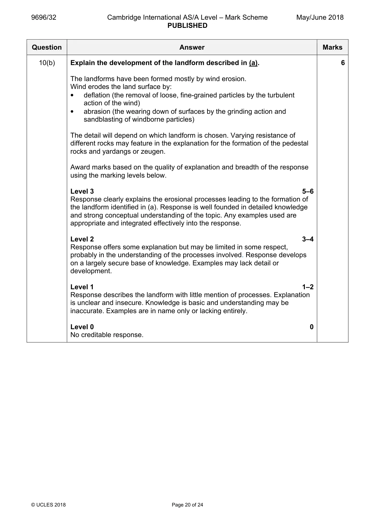
Mark scheme: 10(a) Fig. 10.1 is a photograph which shows an arid environment. 4 With the aid of a labelled diagram, describe one erosional landform shown in Fig. 10.1. Candidates should interpret the photograph to identify the key features and use these observations to produce a realistic diagram. Features from the photograph may include: • pitted/polished/spherical rocks • moderately tall, isolated rock outcrops • mushroom shaped pillars of rock • yardang (crest of rock, keel shaped) with alternating ridges and furrows, extensively grooved Maximum 3 if no diagram. 10(b) Explain the development of the landform described in (a). 6 The landforms have been formed mostly by wind erosion. Wind erodes the land surface by: • deflation (the removal of loose, fine-grained particles by the turbulent action of the wind) • abrasion (the wearing down of surfaces by the grinding action and sandblasting of windborne particles) The detail will depend on which landform is chosen. Varying resistance of different rocks may feature in the explanation for the formation of the pedestal rocks and yardangs or zeugen. Award marks based on the quality of explanation and breadth of the response using the marking levels below. Level 3 5–6 Response clearly explains the erosional processes leading to the formation of the landform identified in (a). Response is well founded in detailed knowledge and strong conceptual understanding of the topic. Any examples used are appropriate and integrated effectively into the response. Level 2 3–4 Response offers some explanation but may be limited in some respect, probably in the understanding of the processes involved. Response develops on a largely secure base of knowledge. Examples may lack detail or development. Level 1 1–2 Response describes the landform with little mention of processes. Explanation is unclear and insecure. Knowledge is basic and understanding may be inaccurate. Examples are in name only or lacking entirely. Level 0 0 No creditable response.
Q11 · Assess the extent to which the degradation of soils and vegetation in semi-arid…
11 Assess the extent to which the degradation of soils and vegetation in semi-arid environments is caused by human factors. [20]
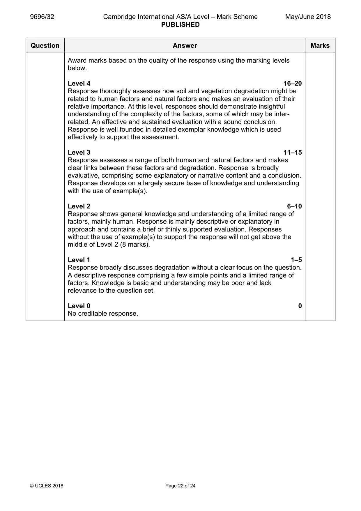
Mark scheme: 11 Assess the extent to which the degradation of soils and vegetation in 20 semi-arid environments is caused by human factors. Candidates are free to develop their own approach to the question and responses will vary depending on the examples chosen. Whichever approach is chosen, essays which discuss a range of causes, both human and physical, and support their argument with relevant examples will be credited. There may be detailed consideration of examples and case studies, or a broadly conceived generic response, drawing on several examples to show the factors involved. There needs to be a discussion of the nature of degradation of both soils and vegetation. Discussions might vary depending on the examples chosen. The following human factors may be assessed: • growth of population, farming and other activities can lead to soil erosion and degradation • irrigation causing salinization Relevant natural factors may include: • lack of rainfall due to sub-tropical high pressure, descending limb of Hadley cell, continentality, cold ocean currents, rain shadow • changes in climate • biophysical systems, reduction of vegetation and development of fragile soils The focus of the assessment should be on the extent to which human factors vs natural factors are responsible for the degradation of soils and vegetation in semi-arid environments. Award marks based on the quality of the response using the marking levels below. Level 4 16–20 Response thoroughly assesses how soil and vegetation degradation might be related to human factors and natural factors and makes an evaluation of their relative importance. At this level, responses should demonstrate insightful understanding of the complexity of the factors, some of which may be inter- related. An effective and sustained evaluation with a sound conclusion. Response is well founded in detailed exemplar knowledge which is used effectively to support the assessment. Level 3 11–15 Response assesses a range of both human and natural factors and makes clear links between these factors and degradation. Response is broadly evaluative, comprising some explanatory or narrative content and a conclusion. Response develops on a largely secure base of knowledge and understanding with the use of example(s). Level 2 6–10 Response shows general knowledge and understanding of a limited range of factors, mainly human. Response is mainly descriptive or explanatory in approach and contains a brief or thinly supported evaluation. Responses without the use of example(s) to support the response will not get above the middle of Level 2 (8 marks). Level 1 1–5 Response broadly discusses degradation without a clear focus on the question. A descriptive response comprising a few simple points and a limited range of factors. Knowledge is basic and understanding may be poor and lack relevance to the question set. Level 0 0 No creditable response.
Q12 · Evaluate the relative importance of physical weathering processes and chemical weathering…
12 Evaluate the relative importance of physical weathering processes and chemical weathering processes in the formation of landforms in hot arid and semi-arid environments. [20] [Total: 30]
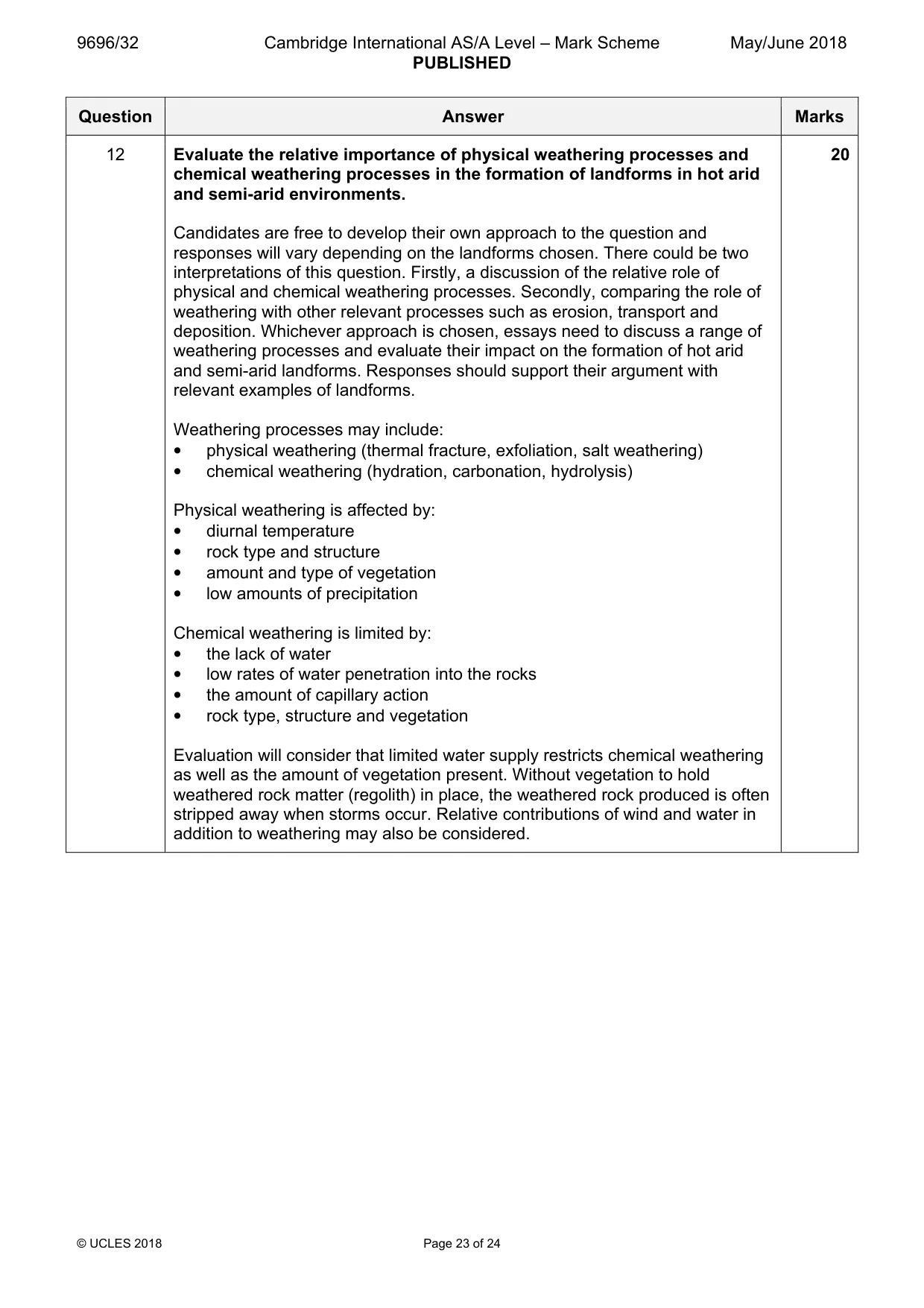
Mark scheme: 12 Evaluate the relative importance of physical weathering processes and 20 chemical weathering processes in the formation of landforms in hot arid and semi-arid environments. Candidates are free to develop their own approach to the question and responses will vary depending on the landforms chosen. There could be two interpretations of this question. Firstly, a discussion of the relative role of physical and chemical weathering processes. Secondly, comparing the role of weathering with other relevant processes such as erosion, transport and deposition. Whichever approach is chosen, essays need to discuss a range of weathering processes and evaluate their impact on the formation of hot arid and semi-arid landforms. Responses should support their argument with relevant examples of landforms. Weathering processes may include: • physical weathering (thermal fracture, exfoliation, salt weathering) • chemical weathering (hydration, carbonation, hydrolysis) Physical weathering is affected by: • diurnal temperature • rock type and structure • amount and type of vegetation • low amounts of precipitation Chemical weathering is limited by: • the lack of water • low rates of water penetration into the rocks • the amount of capillary action • rock type, structure and vegetation Evaluation will consider that limited water supply restricts chemical weathering as well as the amount of vegetation present. Without vegetation to hold weathered rock matter (regolith) in place, the weathered rock produced is often stripped away when storms occur. Relative contributions of wind and water in addition to weathering may also be considered. Award marks based on the quality of the response using the marking levels below. Level 4 16–20 Response thoroughly discusses physical and chemical weathering processes and a range of relevant landforms. Evaluation of the role of weathering alongside other processes of erosion, transport and deposition should be considered. Response makes clear links between the role of the weathering processes and the formation of the landforms. An effective and sustained evaluation with a sound conclusion. Response is well founded in detailed exemplar knowledge and strong conceptual understanding of the topic. Level 3 11–15 Response discusses a range of weathering processes along with their associated landforms. Response is broadly evaluative in character, comprising some explanatory or narrative content and a conclusion. Response develops on a largely secure base of knowledge and understanding with the use of relevant examples. Level 2 6–10 Response shows general knowledge and understanding of weathering processes and a limited range of landforms. Response is mainly descriptive or explanatory in approach and contains a brief or thinly supported evaluation. Responses without the use of example(s) will not get above the middle of Level 2 (8 marks). Level 1 1–5 Response may only discuss either physical weathering processes or chemical weathering processes with a limited connection to the landforms. A descriptive response comprising a few basic points. Knowledge and understanding may be insecure and lack relevance to the question set. Level 0 0 No creditable response.
What was in this paper
The subtopics covered by these 12 questions, and how many questions each got. Open one in a new tab to see every Cambridge question on it.
2Hazards resulting from atmospheric disturbances2Humid tropical (rainforest) ecosystems and seasonally humid tropical (savanna) ecosystems2Landforms of hot arid and semi-arid environments2Hazards resulting from tectonic processes1Sustainable management of coasts1Sustainable management of hot arid and semi-arid environments1Sustainable management of tropical environments1What you needed in this session
Cambridge’s own grade thresholds for 2018 May/June, Paper 3 · Variant 2. A higher threshold means an easier paper — the bar moves with how the cohort did.