Cambridge A Level Geography 9696 — 2015 Oct/Nov Paper 2 · Variant 2
9696/22/O/N/15 · 50 marks · ≈56 min
The question paper and its mark scheme, free to read here and free to download. This is Cambridge’s own paper, exactly as it was sat.
Question paper4 pages

Mark scheme14 pages
Answers below. Sit the paper first if you are practising.

Paper as text
Question paper, page 1
This document consists of 3 printed pages, 1 blank page and 2 Inserts. DC (SLM) 114707 © UCLES 2015 [Turn over Cambridge International Examinations Cambridge International Advanced Subsidiary and Advanced Level * 0 6 4 3 9 3 2 1 9 5 * GEOGRAPHY 9696/22 Paper 2 Advanced Physical Options October/November 2015 1 hour 30 minutes No Additional Materials are required. READ THESE INSTRUCTIONS FIRST An answer booklet is provided inside this question paper. You should follow the instructions on the front cover of the answer booklet. If you need additional answer paper ask the invigilator for a continuation booklet. Answer two questions only. Each question answered must be from a different topic. Sketch maps and diagrams should be drawn whenever they serve to illustrate an answer. You should make reference to appropriate examples studied in the field or the classroom, even where such examples are not specifically requested by the question. All the Figures and the Photographs referred to in the questions are contained in the Insert. The number of marks is given in brackets [ ] at the end of each question or part question.
Question paper, page 2
2 9696/22/O/N/15 © UCLES 2015 Tropical environments Only one question may be answered from this topic. 1 (a) Describe and explain the characteristics of the climate of an area affected by tropical monsoons. [10] (b) Explain the vegetation structure of either a tropical rainforest or a savanna ecosystem. Evaluate the success of a scheme, or schemes, of sustainable management in one of the ecosystems. [15] 2 (a) Explain the factors and processes that influence the fertility of soils in both tropical rainforest and savanna ecosystems. [10] (b) Fig. 1 shows a tropical landform in an area of granite. Explain and evaluate the range of factors and processes that could lead to the development of such a landform in a humid tropical climate. [15] Coastal environments Only one question may be answered from this topic. 3 (a) Explain the factors that determine the effectiveness of marine erosion processes. [10] (b) For a stretch, or stretches, of coastline, explain how marine erosion processes have caused problems for human settlements and activities. Evaluate the success of schemes to solve these problems. [15] 4 (a) Fig. 2 shows three landforms, A, B and C, developed by wave action and coastal deposition processes. For each type of landform, A, B and C shown in Fig. 2, explain the processes that led to its development. For one of the landforms, suggest how its continued existence could be threatened by human and physical factors. [10] (b) Explain the causes of sea level changes and their effect on coral reefs. To what extent are the conditions necessary for coral growth under threat? [15]
Question paper, page 3
3 9696/22/O/N/15 © UCLES 2015 Hazardous environments Only one question may be answered from this topic. 5 (a) Photograph A shows an approaching tornado and Photograph B the hazardous impact of a tornado. Describe how tornadoes develop and explain the causes of their hazardous effects. [10] (b) For three products of volcanic eruptions, describe their nature and their hazardous impact. To what extent can measures be taken to reduce the hazardous impact of volcanic eruptions? [15] 6 (a) Describe the nature and explain the causes of different types of avalanche. [10] (b) Explain the physical hazards that might be generated by major earthquakes. To what extent can the impact of such hazards be managed? [15] Arid and semi-arid environments Only one question may be answered from this topic. 7 (a) Describe the climatic characteristics of hot semi-arid areas and explain the distribution of hot semi-arid areas in one continent. [10] (b) Explain the problems of sustainable management in either a hot arid or semi-arid environment. Evaluate attempted solutions to these problems. [15] 8 (a) Describe the characteristics of soils and explain the biodiversity of hot arid environments. [10] (b) Photograph C shows landforms in a hot arid environment. Explain the processes of weathering and erosion that have operated to develop hot desert landforms such as those shown in Photograph C. To what extent may past climatic change have played a part in the development of hot desert landforms? [15]
Question paper, page 4
4 9696/22/O/N/15 © UCLES 2015 BLANK PAGE Permission to reproduce items where third-party owned material protected by copyright is included has been sought and cleared where possible. Every reasonable effort has been made by the publisher (UCLES) to trace copyright holders, but if any items requiring clearance have unwittingly been included, the publisher will be pleased to make amends at the earliest possible opportunity. To avoid the issue of disclosure of answer-related information to candidates, all copyright acknowledgements are reproduced online in the Cambridge International Examinations Copyright Acknowledgements Booklet. This is produced for each series of examinations and is freely available to download at www.cie.org.uk after the live examination series. Cambridge International Examinations is part of the Cambridge Assessment Group. Cambridge Assessment is the brand name of University of Cambridge Local Examinations Syndicate (UCLES), which is itself a department of the University of Cambridge.
Mark scheme, page 1
® IGCSE is the registered trademark of Cambridge International Examinations. CAMBRIDGE INTERNATIONAL EXAMINATIONS Cambridge International Advanced Subsidiary and Advanced Level MARK SCHEME for the October/November 2015 series 9696 GEOGRAPHY 9696/22 Paper 2 (Advanced Physical Options), maximum raw mark 50 This mark scheme is published as an aid to teachers and candidates, to indicate the requirements of the examination. It shows the basis on which Examiners were instructed to award marks. It does not indicate the details of the discussions that took place at an Examiners’ meeting before marking began, which would have considered the acceptability of alternative answers. Mark schemes should be read in conjunction with the question paper and the Principal Examiner Report for Teachers. Cambridge will not enter into discussions about these mark schemes. Cambridge is publishing the mark schemes for the October/November 2015 series for most Cambridge IGCSE®, Cambridge International A and AS Level components and some Cambridge O Level components.
Mark scheme, page 2
Page 2 Mark Scheme Syllabus Paper Cambridge International AS/A Level – October/November 2015 9696 22 © Cambridge International Examinations 2015 Tropical environments 1 (a) Describe and explain the characteristics of the climate of an area affected by tropical monsoons. [10] A sensible approach would be to answer in respect of a specific area, most likely the Indian sub-continent, but there may be choices from Africa, Australia, etc. Equatorial monsoon is equally acceptable as well as answers that are non-area specific. Description should identify the seasonal character with accurate data. Explanation should highlight the reasons for the development of areas of High and Low pressures, major wind movements, orographic effect in some areas and/or convectional uplift. The best answers may show understanding of the jet stream influence. Give due credit to well annotated and relevant diagrams.
Mark scheme, page 3
Page 3 Mark Scheme Syllabus Paper Cambridge International AS/A Level – October/November 2015 9696 22 © Cambridge International Examinations 2015 (b) Explain the vegetation structure of either a tropical rainforest or a savanna ecosystem. Evaluate the success of a scheme, or schemes, of sustainable management in one of the ecosystems. [15] Explanation is needed but description will figure in this. For TRF we will get, and can accept, both structure (emergents, canopy and shrub layers) as well as nature (evergreen deciduous trees, buttress roots, drip tips, epiphytes). Explanation is mainly the combination of all year round high temperatures and rainfall, massive biomass with rapid nutrient cycling. Savanna may prove more difficult as there may be debate regarding its nature, i.e. some form of seasonal forest or open woodland with acacia, baobab or eucalyptus. There is also the problem of it being less well defined as it changes from the TRF borders to the semi- arid/desert margins, i.e. parkland to scrub. Accept some combination of deciduous trees and grasses as the dominant vegetation. Explanation should be in terms of seasonality and how trees, shrubs and grasses adapt to seasonal drought. For the sustainable management of an area within one of the ecosystems, this should have been well covered. There is a wide range of possibilities but good answers will show appreciation of attempts at sustainability as well as evaluation. Nominally a 7/8 split with a maximum of 10 marks for either demand. Level 3 Response addresses the question fully and is well focused. This material is integrated effectively into a response developed on a secure basis of detailed knowledge of vegetation and conceptual understanding to provide an accurate explanation in terms of processes for the chosen ecosystem. Schemes of sustainable management will be realistic, contain accurate detail and valid evaluation. [12–15] Level 2 Response is partial in addressing the question and focus is not maintained. Some relevant knowledge is shown. Understanding of the topic is partial and may be inaccurate but showing appropriate levels of knowledge at the higher end but with limitations of detail. Less well balanced coverage at the lower end. Has an appropriate example of sustainable management but lacking some accurate detail and/or evaluation. Expression may be unclear in places. [7–11] Level 1 Response comprises a few points which address the question simply or in part. Knowledge of appropriate vegetation is basic and understanding may be inaccurate with minimal understanding of factors and processes to explain it. Inappropriate or weakly presented examples of sustainable management with little or no evaluation. Expression is unclear. [1–6] For no response, or no creditable response, 0.
Mark scheme, page 4
Page 4 Mark Scheme Syllabus Paper Cambridge International AS/A Level – October/November 2015 9696 22 © Cambridge International Examinations 2015 2 (a) Explain the factors and processes that influence the fertility of soils in both tropical rainforest and savanna ecosystems. [10] Climate is the fundamental factor which determines the vegetation and then the whole process of nutrient cycling operates together with soil water movements, leaching out of important bases or calcification with upward movement. Apart from the basic knowledge of TRF soils being of low fertility, some may recognise that there can be more fertile azonal soils, alluvial ones and soils related to location along a soil catena. In savanna areas, tropical brown earths may be more fertile with the upward movement of calcium but cemented layers may inhibit plant growth as may a high pH in some areas. Relevant to include properties helpful to cultivation.
Mark scheme, page 5
Page 5 Mark Scheme Syllabus Paper Cambridge International AS/A Level – October/November 2015 9696 22 © Cambridge International Examinations 2015 (b) Fig. 1 shows a tropical landform in an area of granite. Explain and evaluate the range of factors and processes that could lead to the development of such a landform in a humid tropical climate. [15] The surface shows signs of curvilinear jointing (dilatation) as well as a depression between the two rounded masses. Their shape is determined by massive sheet jointing of the rock brought about by the release of the pressure of the overlying burden. The depression was developed where there was closer joint spacing. The influence of the basal surface of weathering (BSW) is evident in the morphology of the outcrop. The photograph should be a prompt for the explanation demanded. Episodes of deep chemical weathering (hydrolysis) have alternated with periods of stripping, giving rise to etchplanation. Accurate detail should be advanced to explain the nature and effectiveness of the weathering of granite such as climate and vegetation combined with the nature of granite (composition and structure). Diagrams could help clarify stages from a deep weathered profile showing a thick regolith and BSW to the final emergence/exposure of the landforms such as shown. Some may advance a case for pediplanation as rivers cut into the surrounding landscape. In either case, there is a requirement for climate change. Level 3 Response addresses the question fully and is well focused. Interpretation of the resource is accurate and detailed. This material is integrated effectively into a response developed on a secure basis of detailed knowledge and conceptual understanding of the development of the relevant type of landform(s), probably illustrated by well annotated and apposite diagrams. Accurate and detailed knowledge of both factors and processes with some evaluation of their role. [12–15] Level 2 Response is partial in addressing the question and focus is not maintained. Some relevant knowledge is shown. Reference is made to the resource, but its interpretation is limited and may be inaccurate. Some relevant knowledge is shown. Understanding of the topic is partial and may be inaccurate but shows appropriate levels of knowledge at the higher end but with limitations of detail. Covers factors and processes but with less depth of knowledge in one or the other. Understanding of stages in the development of the landform(s) but some lack of accuracy or detail at the lower end of the level and no attempt at evaluation. Expression may be unclear in places. [7–11] Level 1 Response comprises a few points which address the question simply or in part. Little or no reference is made to the resource which may be misinterpreted. Some limited knowledge of the landform(s) but lack of understanding of how processes operate within the factors of climate and rock type. No depth of knowledge of chemical weathering or the role of joint pattern and lithology. Expression is unclear. [1–6] For no response, or no creditable response, 0.
Mark scheme, page 6
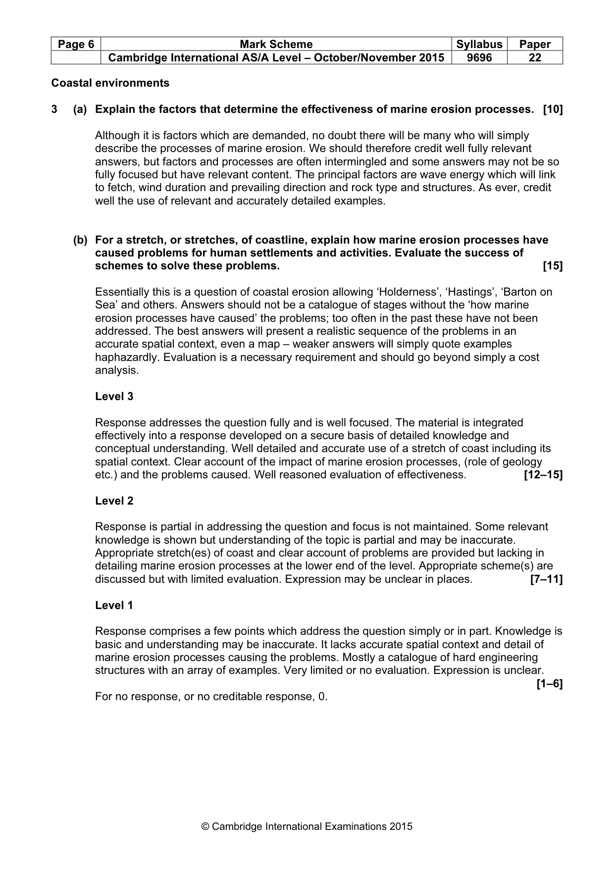
Page 6 Mark Scheme Syllabus Paper Cambridge International AS/A Level – October/November 2015 9696 22 © Cambridge International Examinations 2015 Coastal environments 3 (a) Explain the factors that determine the effectiveness of marine erosion processes. [10] Although it is factors which are demanded, no doubt there will be many who will simply describe the processes of marine erosion. We should therefore credit well fully relevant answers, but factors and processes are often intermingled and some answers may not be so fully focused but have relevant content. The principal factors are wave energy which will link to fetch, wind duration and prevailing direction and rock type and structures. As ever, credit well the use of relevant and accurately detailed examples. (b) For a stretch, or stretches, of coastline, explain how marine erosion processes have caused problems for human settlements and activities. Evaluate the success of schemes to solve these problems. [15] Essentially this is a question of coastal erosion allowing ‘Holderness’, ‘Hastings’, ‘Barton on Sea’ and others. Answers should not be a catalogue of stages without the ‘how marine erosion processes have caused’ the problems; too often in the past these have not been addressed. The best answers will present a realistic sequence of the problems in an accurate spatial context, even a map – weaker answers will simply quote examples haphazardly. Evaluation is a necessary requirement and should go beyond simply a cost analysis. Level 3 Response addresses the question fully and is well focused. The material is integrated effectively into a response developed on a secure basis of detailed knowledge and conceptual understanding. Well detailed and accurate use of a stretch of coast including its spatial context. Clear account of the impact of marine erosion processes, (role of geology etc.) and the problems caused. Well reasoned evaluation of effectiveness. [12–15] Level 2 Response is partial in addressing the question and focus is not maintained. Some relevant knowledge is shown but understanding of the topic is partial and may be inaccurate. Appropriate stretch(es) of coast and clear account of problems are provided but lacking in detailing marine erosion processes at the lower end of the level. Appropriate scheme(s) are discussed but with limited evaluation. Expression may be unclear in places. [7–11] Level 1 Response comprises a few points which address the question simply or in part. Knowledge is basic and understanding may be inaccurate. It lacks accurate spatial context and detail of marine erosion processes causing the problems. Mostly a catalogue of hard engineering structures with an array of examples. Very limited or no evaluation. Expression is unclear. [1–6] For no response, or no creditable response, 0.
Mark scheme, page 7
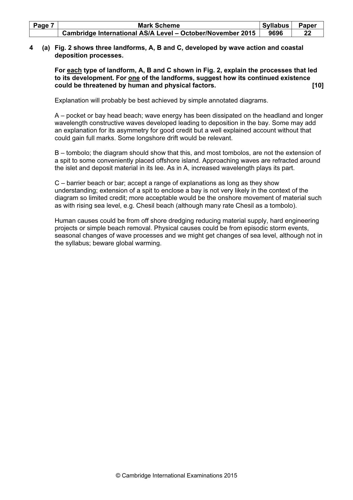
Page 7 Mark Scheme Syllabus Paper Cambridge International AS/A Level – October/November 2015 9696 22 © Cambridge International Examinations 2015 4 (a) Fig. 2 shows three landforms, A, B and C, developed by wave action and coastal deposition processes. For each type of landform, A, B and C shown in Fig. 2, explain the processes that led to its development. For one of the landforms, suggest how its continued existence could be threatened by human and physical factors. [10] Explanation will probably be best achieved by simple annotated diagrams. A – pocket or bay head beach; wave energy has been dissipated on the headland and longer wavelength constructive waves developed leading to deposition in the bay. Some may add an explanation for its asymmetry for good credit but a well explained account without that could gain full marks. Some longshore drift would be relevant. B – tombolo; the diagram should show that this, and most tombolos, are not the extension of a spit to some conveniently placed offshore island. Approaching waves are refracted around the islet and deposit material in its lee. As in A, increased wavelength plays its part. C – barrier beach or bar; accept a range of explanations as long as they show understanding; extension of a spit to enclose a bay is not very likely in the context of the diagram so limited credit; more acceptable would be the onshore movement of material such as with rising sea level, e.g. Chesil beach (although many rate Chesil as a tombolo). Human causes could be from off shore dredging reducing material supply, hard engineering projects or simple beach removal. Physical causes could be from episodic storm events, seasonal changes of wave processes and we might get changes of sea level, although not in the syllabus; beware global warming.
Mark scheme, page 8
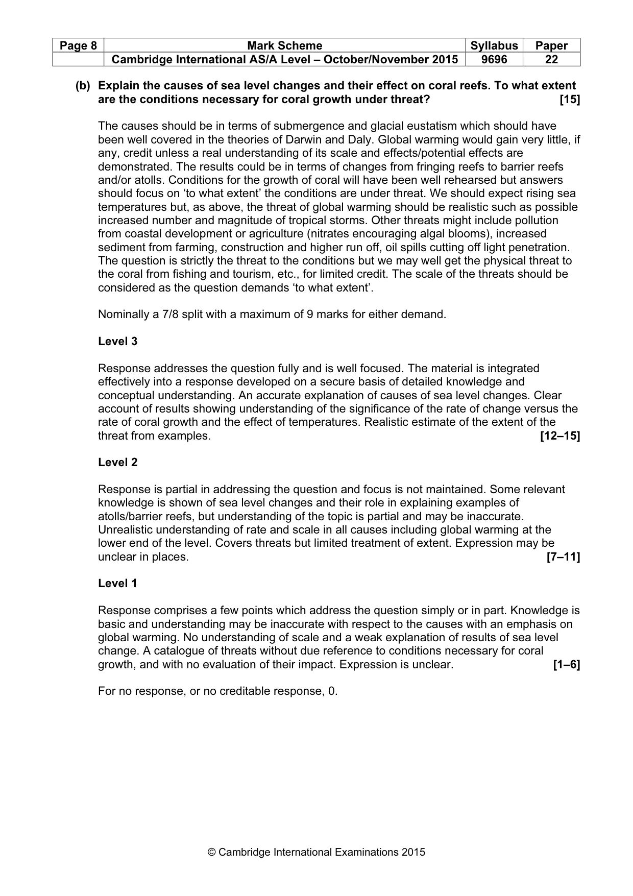
Page 8 Mark Scheme Syllabus Paper Cambridge International AS/A Level – October/November 2015 9696 22 © Cambridge International Examinations 2015 (b) Explain the causes of sea level changes and their effect on coral reefs. To what extent are the conditions necessary for coral growth under threat? [15] The causes should be in terms of submergence and glacial eustatism which should have been well covered in the theories of Darwin and Daly. Global warming would gain very little, if any, credit unless a real understanding of its scale and effects/potential effects are demonstrated. The results could be in terms of changes from fringing reefs to barrier reefs and/or atolls. Conditions for the growth of coral will have been well rehearsed but answers should focus on ‘to what extent’ the conditions are under threat. We should expect rising sea temperatures but, as above, the threat of global warming should be realistic such as possible increased number and magnitude of tropical storms. Other threats might include pollution from coastal development or agriculture (nitrates encouraging algal blooms), increased sediment from farming, construction and higher run off, oil spills cutting off light penetration. The question is strictly the threat to the conditions but we may well get the physical threat to the coral from fishing and tourism, etc., for limited credit. The scale of the threats should be considered as the question demands ‘to what extent’. Nominally a 7/8 split with a maximum of 9 marks for either demand. Level 3 Response addresses the question fully and is well focused. The material is integrated effectively into a response developed on a secure basis of detailed knowledge and conceptual understanding. An accurate explanation of causes of sea level changes. Clear account of results showing understanding of the significance of the rate of change versus the rate of coral growth and the effect of temperatures. Realistic estimate of the extent of the threat from examples. [12–15] Level 2 Response is partial in addressing the question and focus is not maintained. Some relevant knowledge is shown of sea level changes and their role in explaining examples of atolls/barrier reefs, but understanding of the topic is partial and may be inaccurate. Unrealistic understanding of rate and scale in all causes including global warming at the lower end of the level. Covers threats but limited treatment of extent. Expression may be unclear in places. [7–11] Level 1 Response comprises a few points which address the question simply or in part. Knowledge is basic and understanding may be inaccurate with respect to the causes with an emphasis on global warming. No understanding of scale and a weak explanation of results of sea level change. A catalogue of threats without due reference to conditions necessary for coral growth, and with no evaluation of their impact. Expression is unclear. [1–6] For no response, or no creditable response, 0.
Mark scheme, page 9
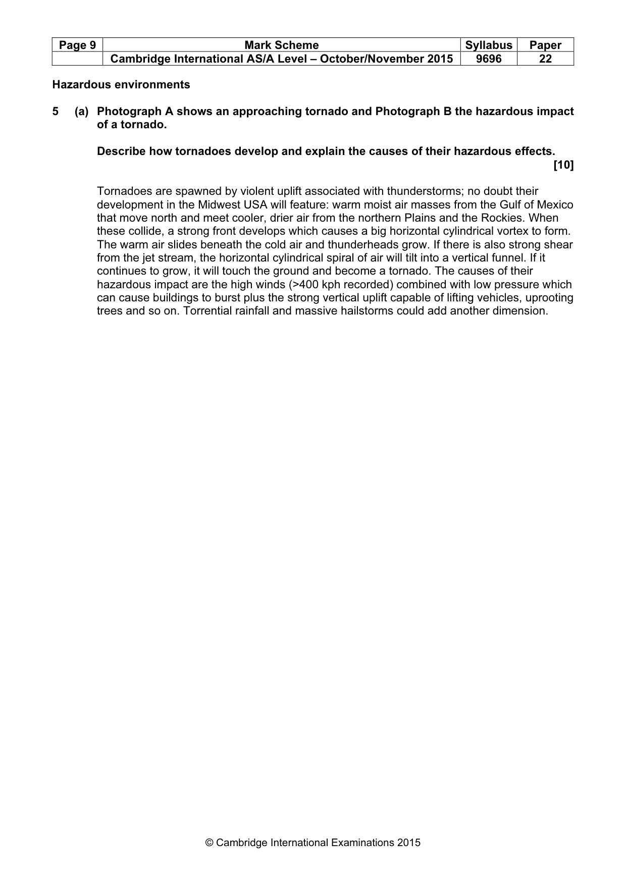
Page 9 Mark Scheme Syllabus Paper Cambridge International AS/A Level – October/November 2015 9696 22 © Cambridge International Examinations 2015 Hazardous environments 5 (a) Photograph A shows an approaching tornado and Photograph B the hazardous impact of a tornado. Describe how tornadoes develop and explain the causes of their hazardous effects. [10] Tornadoes are spawned by violent uplift associated with thunderstorms; no doubt their development in the Midwest USA will feature: warm moist air masses from the Gulf of Mexico that move north and meet cooler, drier air from the northern Plains and the Rockies. When these collide, a strong front develops which causes a big horizontal cylindrical vortex to form. The warm air slides beneath the cold air and thunderheads grow. If there is also strong shear from the jet stream, the horizontal cylindrical spiral of air will tilt into a vertical funnel. If it continues to grow, it will touch the ground and become a tornado. The causes of their hazardous impact are the high winds (>400 kph recorded) combined with low pressure which can cause buildings to burst plus the strong vertical uplift capable of lifting vehicles, uprooting trees and so on. Torrential rainfall and massive hailstorms could add another dimension.
Mark scheme, page 10
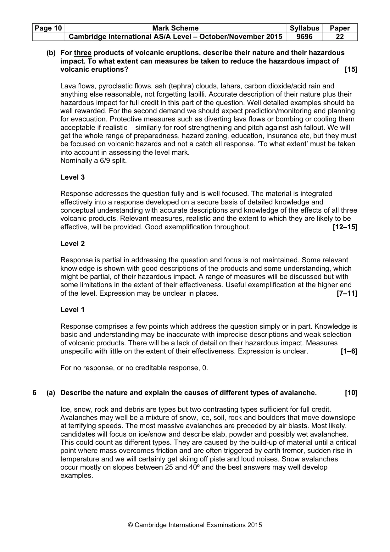
Page 10 Mark Scheme Syllabus Paper Cambridge International AS/A Level – October/November 2015 9696 22 © Cambridge International Examinations 2015 (b) For three products of volcanic eruptions, describe their nature and their hazardous impact. To what extent can measures be taken to reduce the hazardous impact of volcanic eruptions? [15] Lava flows, pyroclastic flows, ash (tephra) clouds, lahars, carbon dioxide/acid rain and anything else reasonable, not forgetting lapilli. Accurate description of their nature plus their hazardous impact for full credit in this part of the question. Well detailed examples should be well rewarded. For the second demand we should expect prediction/monitoring and planning for evacuation. Protective measures such as diverting lava flows or bombing or cooling them acceptable if realistic – similarly for roof strengthening and pitch against ash fallout. We will get the whole range of preparedness, hazard zoning, education, insurance etc, but they must be focused on volcanic hazards and not a catch all response. ‘To what extent’ must be taken into account in assessing the level mark. Nominally a 6/9 split. Level 3 Response addresses the question fully and is well focused. The material is integrated effectively into a response developed on a secure basis of detailed knowledge and conceptual understanding with accurate descriptions and knowledge of the effects of all three volcanic products. Relevant measures, realistic and the extent to which they are likely to be effective, will be provided. Good exemplification throughout. [12–15] Level 2 Response is partial in addressing the question and focus is not maintained. Some relevant knowledge is shown with good descriptions of the products and some understanding, which might be partial, of their hazardous impact. A range of measures will be discussed but with some limitations in the extent of their effectiveness. Useful exemplification at the higher end of the level. Expression may be unclear in places. [7–11] Level 1 Response comprises a few points which address the question simply or in part. Knowledge is basic and understanding may be inaccurate with imprecise descriptions and weak selection of volcanic products. There will be a lack of detail on their hazardous impact. Measures unspecific with little on the extent of their effectiveness. Expression is unclear. [1–6] For no response, or no creditable response, 0. 6 (a) Describe the nature and explain the causes of different types of avalanche. [10] Ice, snow, rock and debris are types but two contrasting types sufficient for full credit. Avalanches may well be a mixture of snow, ice, soil, rock and boulders that move downslope at terrifying speeds. The most massive avalanches are preceded by air blasts. Most likely, candidates will focus on ice/snow and describe slab, powder and possibly wet avalanches. This could count as different types. They are caused by the build-up of material until a critical point where mass overcomes friction and are often triggered by earth tremor, sudden rise in temperature and we will certainly get skiing off piste and loud noises. Snow avalanches occur mostly on slopes between 25 and 40º and the best answers may well develop examples.
Mark scheme, page 11
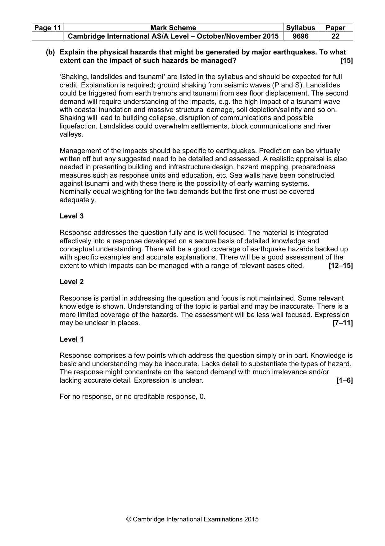
Page 11 Mark Scheme Syllabus Paper Cambridge International AS/A Level – October/November 2015 9696 22 © Cambridge International Examinations 2015 (b) Explain the physical hazards that might be generated by major earthquakes. To what extent can the impact of such hazards be managed? [15] ‘Shaking, landslides and tsunami’ are listed in the syllabus and should be expected for full credit. Explanation is required; ground shaking from seismic waves (P and S). Landslides could be triggered from earth tremors and tsunami from sea floor displacement. The second demand will require understanding of the impacts, e.g. the high impact of a tsunami wave with coastal inundation and massive structural damage, soil depletion/salinity and so on. Shaking will lead to building collapse, disruption of communications and possible liquefaction. Landslides could overwhelm settlements, block communications and river valleys. Management of the impacts should be specific to earthquakes. Prediction can be virtually written off but any suggested need to be detailed and assessed. A realistic appraisal is also needed in presenting building and infrastructure design, hazard mapping, preparedness measures such as response units and education, etc. Sea walls have been constructed against tsunami and with these there is the possibility of early warning systems. Nominally equal weighting for the two demands but the first one must be covered adequately. Level 3 Response addresses the question fully and is well focused. The material is integrated effectively into a response developed on a secure basis of detailed knowledge and conceptual understanding. There will be a good coverage of earthquake hazards backed up with specific examples and accurate explanations. There will be a good assessment of the extent to which impacts can be managed with a range of relevant cases cited. [12–15] Level 2 Response is partial in addressing the question and focus is not maintained. Some relevant knowledge is shown. Understanding of the topic is partial and may be inaccurate. There is a more limited coverage of the hazards. The assessment will be less well focused. Expression may be unclear in places. [7–11] Level 1 Response comprises a few points which address the question simply or in part. Knowledge is basic and understanding may be inaccurate. Lacks detail to substantiate the types of hazard. The response might concentrate on the second demand with much irrelevance and/or lacking accurate detail. Expression is unclear. [1–6] For no response, or no creditable response, 0.
Mark scheme, page 12
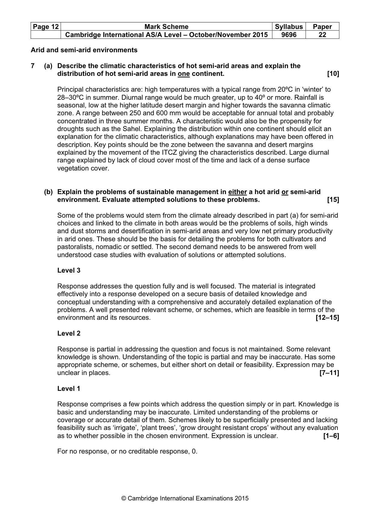
Page 12 Mark Scheme Syllabus Paper Cambridge International AS/A Level – October/November 2015 9696 22 © Cambridge International Examinations 2015 Arid and semi-arid environments 7 (a) Describe the climatic characteristics of hot semi-arid areas and explain the distribution of hot semi-arid areas in one continent. [10] Principal characteristics are: high temperatures with a typical range from 20ºC in ‘winter’ to 28–30ºC in summer. Diurnal range would be much greater, up to 40º or more. Rainfall is seasonal, low at the higher latitude desert margin and higher towards the savanna climatic zone. A range between 250 and 600 mm would be acceptable for annual total and probably concentrated in three summer months. A characteristic would also be the propensity for droughts such as the Sahel. Explaining the distribution within one continent should elicit an explanation for the climatic characteristics, although explanations may have been offered in description. Key points should be the zone between the savanna and desert margins explained by the movement of the ITCZ giving the characteristics described. Large diurnal range explained by lack of cloud cover most of the time and lack of a dense surface vegetation cover. (b) Explain the problems of sustainable management in either a hot arid or semi-arid environment. Evaluate attempted solutions to these problems. [15] Some of the problems would stem from the climate already described in part (a) for semi-arid choices and linked to the climate in both areas would be the problems of soils, high winds and dust storms and desertification in semi-arid areas and very low net primary productivity in arid ones. These should be the basis for detailing the problems for both cultivators and pastoralists, nomadic or settled. The second demand needs to be answered from well understood case studies with evaluation of solutions or attempted solutions. Level 3 Response addresses the question fully and is well focused. The material is integrated effectively into a response developed on a secure basis of detailed knowledge and conceptual understanding with a comprehensive and accurately detailed explanation of the problems. A well presented relevant scheme, or schemes, which are feasible in terms of the environment and its resources. [12–15] Level 2 Response is partial in addressing the question and focus is not maintained. Some relevant knowledge is shown. Understanding of the topic is partial and may be inaccurate. Has some appropriate scheme, or schemes, but either short on detail or feasibility. Expression may be unclear in places. [7–11] Level 1 Response comprises a few points which address the question simply or in part. Knowledge is basic and understanding may be inaccurate. Limited understanding of the problems or coverage or accurate detail of them. Schemes likely to be superficially presented and lacking feasibility such as ‘irrigate’, ‘plant trees’, ‘grow drought resistant crops’ without any evaluation as to whether possible in the chosen environment. Expression is unclear. [1–6] For no response, or no creditable response, 0.
Mark scheme, page 13
Page 13 Mark Scheme Syllabus Paper Cambridge International AS/A Level – October/November 2015 9696 22 © Cambridge International Examinations 2015 8 (a) Describe the characteristics of soils and explain the biodiversity of hot arid environments. [10] Something much more beyond that ‘soils are sandy’. Aridisols (solonchaks) do not develop true profiles. They tend to lack structure, are loose and friable, have low humus/organic content with the main movement being upward capillarity through the soil which can lead to the accumulation of salts and salt encrusted surfaces. They are light grey in colour with an accumulation of calcium. The term ‘biodiversity’ is covered in the syllabus. In practice, full credit can be given for plants and animals and the point could be made that despite the nature of soils and implied climate, there is a vast abundance of living organisms. At the lower end will be cactus and camels, but we should expect understanding of how both plants and animals and possibly insects have adapted to the environment.
Mark scheme, page 14
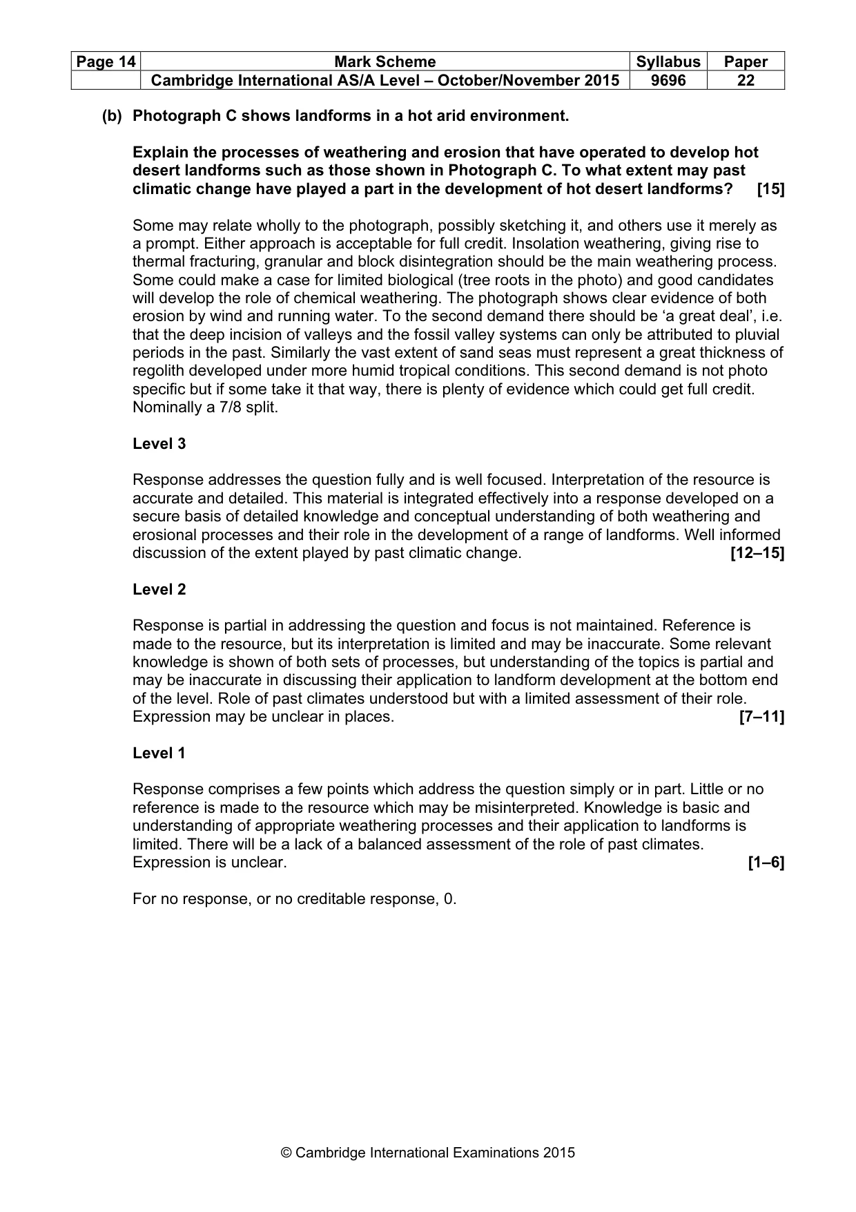
Page 14 Mark Scheme Syllabus Paper Cambridge International AS/A Level – October/November 2015 9696 22 © Cambridge International Examinations 2015 (b) Photograph C shows landforms in a hot arid environment. Explain the processes of weathering and erosion that have operated to develop hot desert landforms such as those shown in Photograph C. To what extent may past climatic change have played a part in the development of hot desert landforms? [15] Some may relate wholly to the photograph, possibly sketching it, and others use it merely as a prompt. Either approach is acceptable for full credit. Insolation weathering, giving rise to thermal fracturing, granular and block disintegration should be the main weathering process. Some could make a case for limited biological (tree roots in the photo) and good candidates will develop the role of chemical weathering. The photograph shows clear evidence of both erosion by wind and running water. To the second demand there should be ‘a great deal’, i.e. that the deep incision of valleys and the fossil valley systems can only be attributed to pluvial periods in the past. Similarly the vast extent of sand seas must represent a great thickness of regolith developed under more humid tropical conditions. This second demand is not photo specific but if some take it that way, there is plenty of evidence which could get full credit. Nominally a 7/8 split. Level 3 Response addresses the question fully and is well focused. Interpretation of the resource is accurate and detailed. This material is integrated effectively into a response developed on a secure basis of detailed knowledge and conceptual understanding of both weathering and erosional processes and their role in the development of a range of landforms. Well informed discussion of the extent played by past climatic change. [12–15] Level 2 Response is partial in addressing the question and focus is not maintained. Reference is made to the resource, but its interpretation is limited and may be inaccurate. Some relevant knowledge is shown of both sets of processes, but understanding of the topics is partial and may be inaccurate in discussing their application to landform development at the bottom end of the level. Role of past climates understood but with a limited assessment of their role. Expression may be unclear in places. [7–11] Level 1 Response comprises a few points which address the question simply or in part. Little or no reference is made to the resource which may be misinterpreted. Knowledge is basic and understanding of appropriate weathering processes and their application to landforms is limited. There will be a lack of a balanced assessment of the role of past climates. Expression is unclear. [1–6] For no response, or no creditable response, 0.
What you needed in this session
Cambridge’s own grade thresholds for 2015 Oct/Nov, Paper 2 · Variant 2. A higher threshold means an easier paper — the bar moves with how the cohort did.