Cambridge A Level Geography 9696 — 2016 Oct/Nov Paper 2 · Variant 3
9696/23/O/N/16 · 50 marks · ≈56 min
The question paper and its mark scheme, free to read here and free to download. This is Cambridge’s own paper, exactly as it was sat.
Question paper4 pages
Mark scheme
No mark scheme is in the library for this paper.
Paper as text
Question paper, page 1
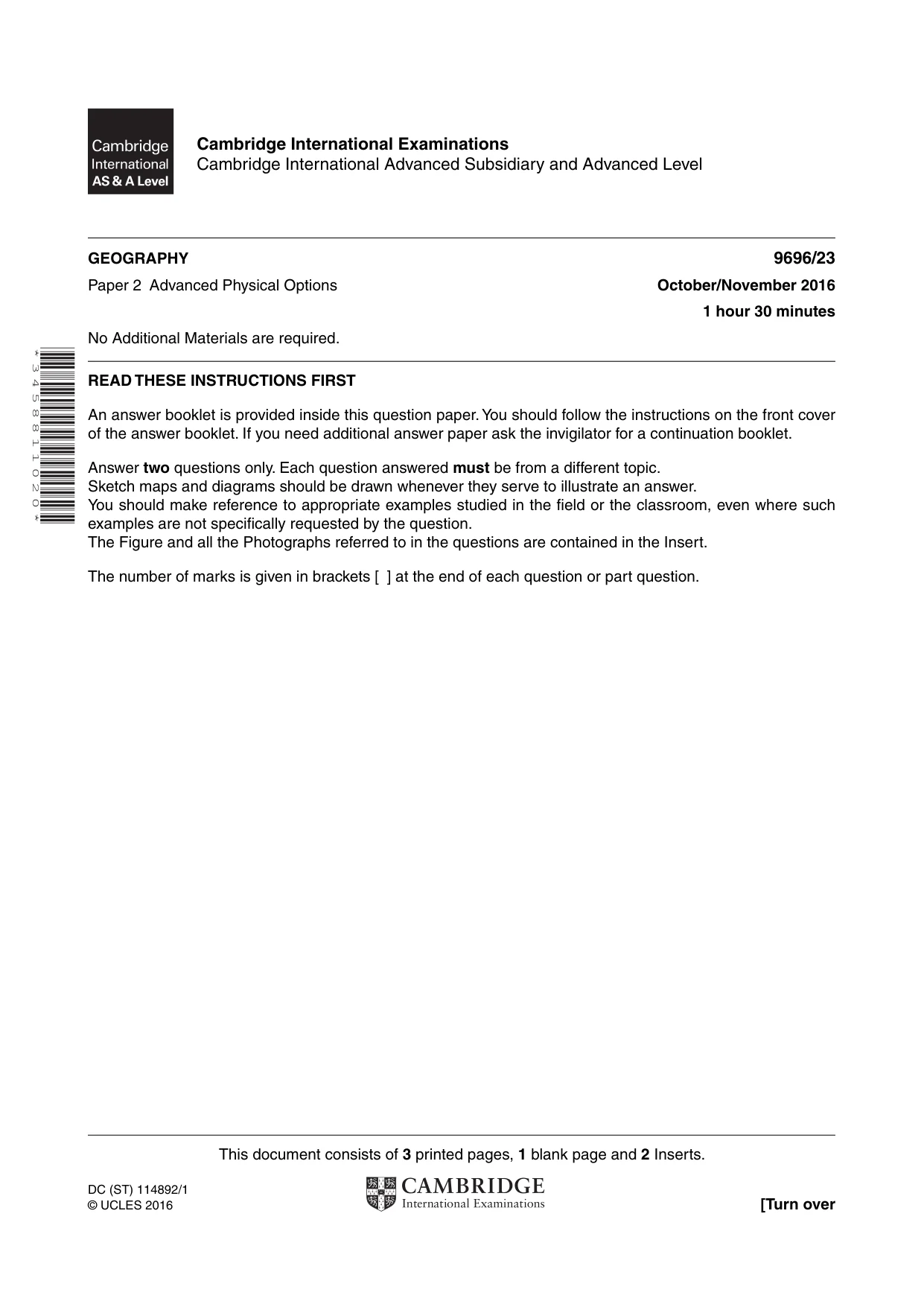
This document consists of 3 printed pages, 1 blank page and 2 Inserts. DC (ST) 114892/1 © UCLES 2016 [Turn over Cambridge International Examinations Cambridge International Advanced Subsidiary and Advanced Level * 3 4 5 8 8 1 1 0 2 0 * GEOGRAPHY 9696/23 Paper 2 Advanced Physical Options October/November 2016 1 hour 30 minutes No Additional Materials are required. READ THESE INSTRUCTIONS FIRST An answer booklet is provided inside this question paper. You should follow the instructions on the front cover of the answer booklet. If you need additional answer paper ask the invigilator for a continuation booklet. Answer two questions only. Each question answered must be from a different topic. Sketch maps and diagrams should be drawn whenever they serve to illustrate an answer. You should make reference to appropriate examples studied in the field or the classroom, even where such examples are not specifically requested by the question. The Figure and all the Photographs referred to in the questions are contained in the Insert. The number of marks is given in brackets [ ] at the end of each question or part question.
Question paper, page 2
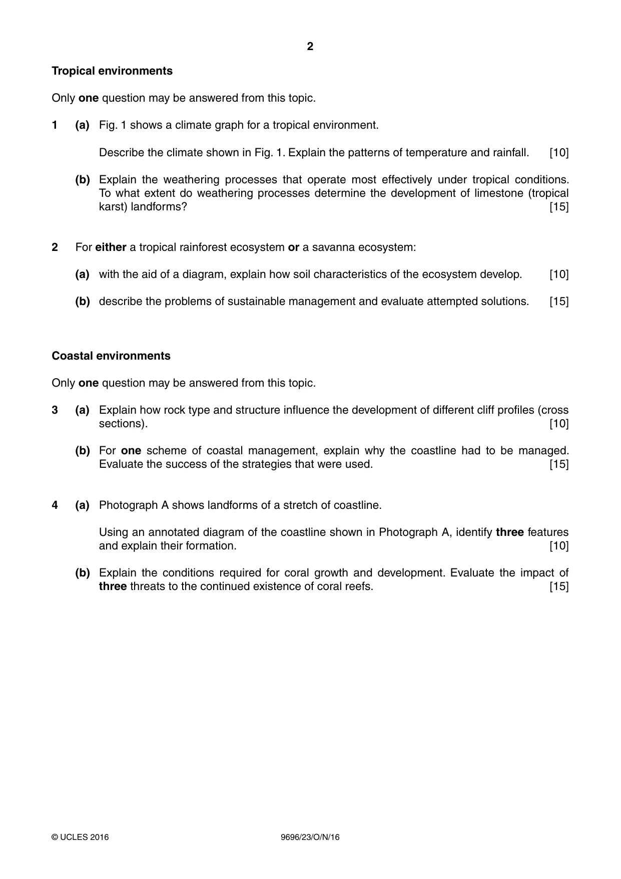
2 9696/23/O/N/16 © UCLES 2016 Tropical environments Only one question may be answered from this topic. 1 (a) Fig. 1 shows a climate graph for a tropical environment. Describe the climate shown in Fig. 1. Explain the patterns of temperature and rainfall. [10] (b) Explain the weathering processes that operate most effectively under tropical conditions. To what extent do weathering processes determine the development of limestone (tropical karst) landforms? [15] 2 For either a tropical rainforest ecosystem or a savanna ecosystem: (a) with the aid of a diagram, explain how soil characteristics of the ecosystem develop. [10] (b) describe the problems of sustainable management and evaluate attempted solutions. [15] Coastal environments Only one question may be answered from this topic. 3 (a) Explain how rock type and structure influence the development of different cliff profiles (cross sections). [10] (b) For one scheme of coastal management, explain why the coastline had to be managed. Evaluate the success of the strategies that were used. [15] 4 (a) Photograph A shows landforms of a stretch of coastline. Using an annotated diagram of the coastline shown in Photograph A, identify three features and explain their formation. [10] (b) Explain the conditions required for coral growth and development. Evaluate the impact of three threats to the continued existence of coral reefs. [15]
Question paper, page 3
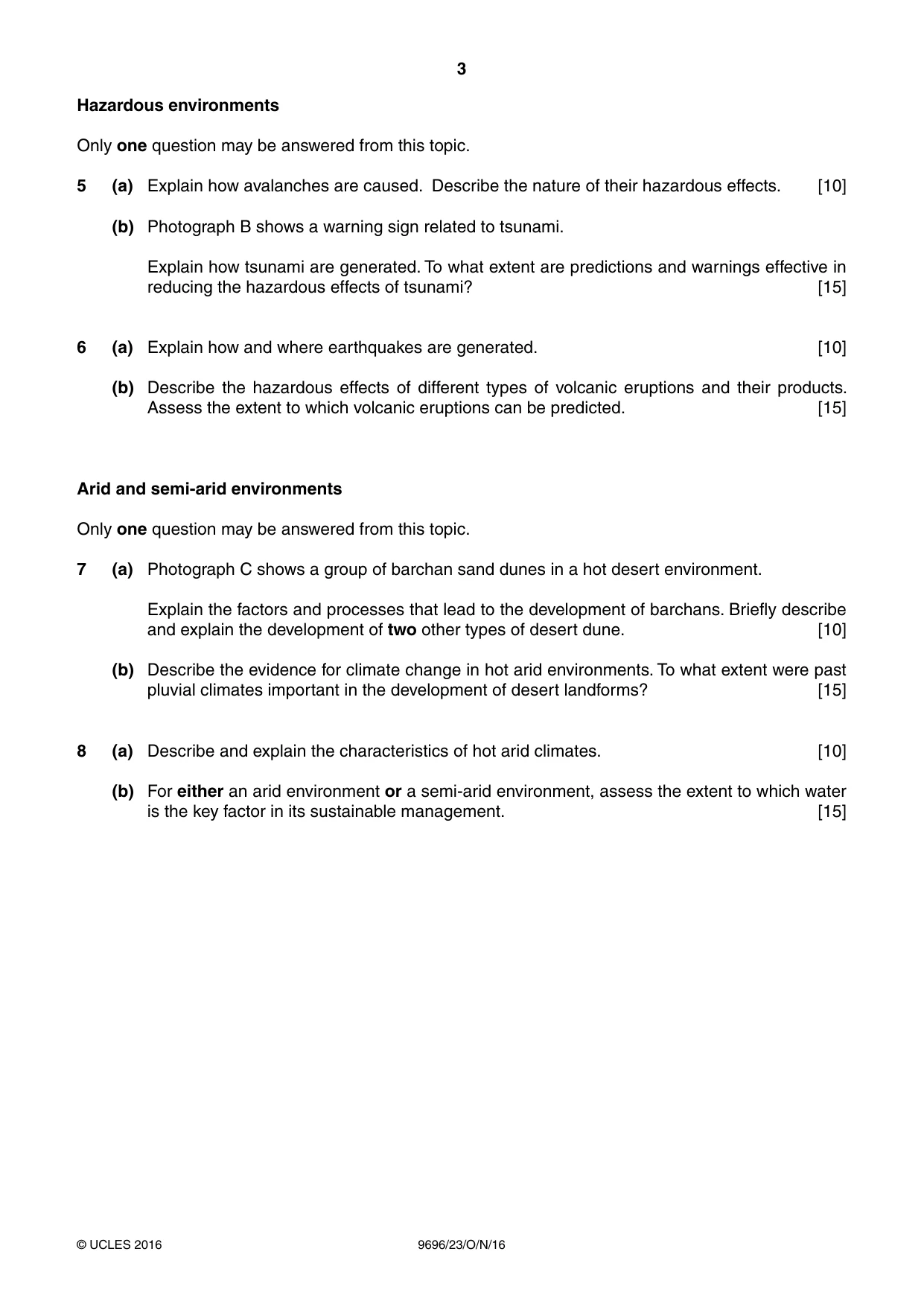
3 9696/23/O/N/16 © UCLES 2016 Hazardous environments Only one question may be answered from this topic. 5 (a) Explain how avalanches are caused. Describe the nature of their hazardous effects. [10] (b) Photograph B shows a warning sign related to tsunami. Explain how tsunami are generated. To what extent are predictions and warnings effective in reducing the hazardous effects of tsunami? [15] 6 (a) Explain how and where earthquakes are generated. [10] (b) Describe the hazardous effects of different types of volcanic eruptions and their products. Assess the extent to which volcanic eruptions can be predicted. [15] Arid and semi-arid environments Only one question may be answered from this topic. 7 (a) Photograph C shows a group of barchan sand dunes in a hot desert environment. Explain the factors and processes that lead to the development of barchans. Briefly describe and explain the development of two other types of desert dune. [10] (b) Describe the evidence for climate change in hot arid environments. To what extent were past pluvial climates important in the development of desert landforms? [15] 8 (a) Describe and explain the characteristics of hot arid climates. [10] (b) For either an arid environment or a semi-arid environment, assess the extent to which water is the key factor in its sustainable management. [15]
Question paper, page 4
4 9696/23/O/N/16 © UCLES 2016 BLANK PAGE Permission to reproduce items where third-party owned material protected by copyright is included has been sought and cleared where possible. Every reasonable effort has been made by the publisher (UCLES) to trace copyright holders, but if any items requiring clearance have unwittingly been included, the publisher will be pleased to make amends at the earliest possible opportunity. To avoid the issue of disclosure of answer-related information to candidates, all copyright acknowledgements are reproduced online in the Cambridge International Examinations Copyright Acknowledgements Booklet. This is produced for each series of examinations and is freely available to download at www.cie.org.uk after the live examination series. Cambridge International Examinations is part of the Cambridge Assessment Group. Cambridge Assessment is the brand name of University of Cambridge Local Examinations Syndicate (UCLES), which is itself a department of the University of Cambridge.
What you needed in this session
Cambridge’s own grade thresholds for 2016 Oct/Nov, Paper 2 · Variant 3. A higher threshold means an easier paper — the bar moves with how the cohort did.