Cambridge A Level Geography 9696 — 2016 May/June Paper 2 · Variant 3
9696/23/M/J/16 · 50 marks · ≈56 min
The question paper and its mark scheme, free to read here and free to download. This is Cambridge’s own paper, exactly as it was sat.
Question paper4 pages

Mark scheme13 pages
Answers below. Sit the paper first if you are practising.
Paper as text
Question paper, page 1
This document consists of 3 printed pages, 1 blank page and 2 Inserts. DC (ST) 116642/1 © UCLES 2016 [Turn over Cambridge International Examinations Cambridge International Advanced Subsidiary and Advanced Level * 7 6 2 8 2 2 2 3 4 9 * GEOGRAPHY 9696/23 Paper 2 Advanced Physical Options May/June 2016 1 hour 30 minutes No Additional Materials are required. READ THESE INSTRUCTIONS FIRST An answer booklet is provided inside this question paper. You should follow the instructions on the front cover of the answer booklet. If you need additional answer paper ask the invigilator for a continuation booklet. Answer two questions only. Each question answered must be from a different topic. Sketch maps and diagrams should be drawn whenever they serve to illustrate an answer. You should make reference to appropriate examples studied in the field or the classroom, even where such examples are not specifically requested by the question. All the Figures and the Photograph referred to in the questions are contained in the Insert. The number of marks is given in brackets [ ] at the end of each question or part question.
Question paper, page 2
2 9696/23/M/J/16 © UCLES 2016 Tropical environments Only one question may be answered from this topic. 1 (a) Describe the structure of vegetation within a tropical rainforest ecosystem and explain how nutrients are cycled. [10] (b) Assess the importance of rock type in explaining the development of landforms in humid and sub-humid tropical conditions. [15] 2 (a) Fig. 1 shows a soil profile of a latosol. Describe the main characteristics of the soil profile in Fig. 1. Suggest reasons for the characteristics identified. [10] (b) For either a tropical rainforest ecosystem or savanna ecosystem, describe the threats that result from human activity. Evaluate strategies to manage this ecosystem sustainably. [15] Coastal environments Only one question may be answered from this topic. 3 (a) Describe the characteristics of breaking waves and explain the processes by which waves transport sediment on beaches. [10] (b) Fig. 2 shows a theory of atoll formation. Using Fig. 2 explain how atolls form. Assess the results of sea level rise on coral reefs. [15] 4 (a) Describe the nature of coastal sediment cells. How do processes of sediment movement contribute to the formation of coastal landforms? [10] (b) Evaluate the contribution of factors and processes to the development of landforms on cliffed coastlines. [15]
Question paper, page 3
3 9696/23/M/J/16 © UCLES 2016 Hazardous environments Only one question may be answered from this topic. 5 (a) Photograph A shows a snow avalanche. Describe the nature of snow avalanches, such as the one shown in Photograph A, and explain the hazards produced. [10] (b) Explain which areas are most at risk from the hazardous effects of tropical storms (cyclones). To what extent can their hazardous impact be reduced? [15] 6 (a) With the aid of diagrams, describe the nature and causes of mass movements. [10] (b) Explain the characteristics of tsunami. To what extent can the occurrence and hazardous impact of tsunami be predicted? [15] Arid and semi-arid environments Only one question may be answered from this topic. 7 (a) Fig. 3 shows diurnal temperatures for winter and summer, for Al Ahsa Oasis, Saudi Arabia. Describe and explain the pattern of diurnal temperatures shown in Fig. 3. [10] (b) Describe the nature and causes of aridity. To what extent do hot arid environments contain evidence of cooler and wetter climates in the past? [15] 8 (a) Describe and explain the development of sand dunes in hot arid environments. [10] (b) For either a hot arid or semi-arid environment, describe the nature of soils and evaluate the importance of soils in a scheme of sustainable management. [15]
Question paper, page 4
4 9696/23/M/J/16 © UCLES 2016 BLANK PAGE Permission to reproduce items where third-party owned material protected by copyright is included has been sought and cleared where possible. Every reasonable effort has been made by the publisher (UCLES) to trace copyright holders, but if any items requiring clearance have unwittingly been included, the publisher will be pleased to make amends at the earliest possible opportunity. To avoid the issue of disclosure of answer-related information to candidates, all copyright acknowledgements are reproduced online in the Cambridge International Examinations Copyright Acknowledgements Booklet. This is produced for each series of examinations and is freely available to download at www.cie.org.uk after the live examination series. Cambridge International Examinations is part of the Cambridge Assessment Group. Cambridge Assessment is the brand name of University of Cambridge Local Examinations Syndicate (UCLES), which is itself a department of the University of Cambridge.
Mark scheme, page 1
® IGCSE is the registered trademark of Cambridge International Examinations. This document consists of 13 printed pages. © UCLES 2016 [Turn over Cambridge International Examinations Cambridge International Advanced Subsidiary and Advanced Level GEOGRAPHY 9696/23 Paper 2 Advanced Physical Options May/June 2016 MARK SCHEME Maximum Mark: 50 Published This mark scheme is published as an aid to teachers and candidates, to indicate the requirements of the examination. It shows the basis on which Examiners were instructed to award marks. It does not indicate the details of the discussions that took place at an Examiners’ meeting before marking began, which would have considered the acceptability of alternative answers. Mark schemes should be read in conjunction with the question paper and the Principal Examiner Report for Teachers. Cambridge will not enter into discussions about these mark schemes. Cambridge is publishing the mark schemes for the May/June 2016 series for most Cambridge IGCSE®, Cambridge International A and AS Level components and some Cambridge O Level components.
Mark scheme, page 2
Page 2 Mark Scheme Syllabus Paper Cambridge International AS/A Level – May/June 2016 9696 23 © Cambridge International Examinations 2016 Tropical environments Only one question may be answered from this topic. 1 (a) Describe the structure of vegetation within a tropical rainforest ecosystem and explain how nutrients are cycled. [10] For a TRF the structure includes the existence of emergent, canopy and shrub layers. Trees are evergreen deciduous, with buttress roots, drip tips and epiphytes. Expect some estimation of heights of vegetation and scale of diversity. A Gersmehl diagram could be very useful here, but an explanation of nutrient cycling in terms of flows and stores of energy is required. Biomass is a large store with inputs from the soil and climatic sources. Flows are rapid due to the climate resulting in smaller stores of litter and soil. Soil has losses from leaching and litter is limited by the rapid decomposition and uptake by biomass. (b) Assess the importance of rock type in explaining the development of landforms in humid and sub-humid tropical conditions. [15] The question requires reference to landforms in the tropics and so both limestone (karst) and granite can be included. In limestone areas, the sedimentary nature of the rock aids the ingress of water, and along with the humic acid from vegetation, results in weathering by carbonation. The existence of jointed and bedded limestone encourages the weathering processes. The relative importance allows the candidate to refer to other factors such as vegetation, climate and weathering in the development of karst landforms. There should be some account of the usual karst landforms (sink holes and caves) and also cockpits and dolines. In granite geology, the importance of jointing and bedding planes allows for rapid chemical weathering, accelerated by high temperatures and precipitation. Landforms such as ruware, inselbergs and tors form. Weathering will attack the granite along joints and cracks, core stones and detached blocks result and uplift and erosional stripping allow the emergence of landforms as they are exposed to sub-aerial processes. Level 3 Good knowledge of the role of rock type in the formation of tropical landforms, in both limestone (karst) and granite geology. Also an appreciation of the relative importance of climate, weathering and vegetation. Some assessment made. [12–15] Level 2 A more general account of limestone (karst) and granite landforms, less well balanced. Emphasis will be on either limestone or granite, and an assessment of the role of rock type will be lacking. [7–11] Level 1 Limited knowledge of factors, little beyond caves and stalactites. A simplistic account of tropical landforms with little knowledge of the importance of rock type. [1–6] For no response, or no creditable response, 0.
Mark scheme, page 3
Page 3 Mark Scheme Syllabus Paper Cambridge International AS/A Level – May/June 2016 9696 23 © Cambridge International Examinations 2016 2 (a) Fig. 1 shows a soil profile of a latosol. Describe the main characteristics of the soil profile in Fig.1. Suggest reasons for the characteristics identified. [10] The diagram is a soil profile showing horizons. The main characteristics show the organic material, top soil with humus, subsoil and weathered parent material. A fuller answer will go on to say that high temperatures and rainfall cause deep chemical weathering and intense leaching of minerals down through the soil; better answers will be specific about the amount and all-year nature of rainfall, the typical 25–30 °C temperature and the high levels (>88%) of humidity. Parent materials will influence the mineral composition of the soil; volcanic and metamorphic rocks break down quickly and leave iron- and quartz-rich textures. The warm wet conditions allow plants and microbes to thrive and cause rapid breakdown of organic material and humification. In these conditions, nutrients are cycled rapidly and so the organic-rich soil horizon is usually very thin in a tropical soil profile. In areas of high relief, soils are usually thinner than the deep weathering profiles typical of gentle or moderate slopes. Soils in tropical rainforests are close to the equator and have been less affected by glacial and pluvial cycles than higher latitudes. As a result, these soils have formed over very long periods of time.
Mark scheme, page 4
Page 4 Mark Scheme Syllabus Paper Cambridge International AS/A Level – May/June 2016 9696 23 © Cambridge International Examinations 2016 (b) For either a tropical rainforest ecosystem or savanna ecosystem, describe the threats that result from human activity. Evaluate strategies to manage this ecosystem sustainably. [15] In the case of the TRF; threats in TRF will likely include traditional slash and burn where vegetation is cut down to allow farming activities. Clearing involves the removal of shrubs and small trees, and burning is important to produce ash, the source of fertility. Crops are harvested and after a number of years, soil fertility declines as the land is exposed to leaching and nutrients are exhausted. Coarse grasses and vegetation begin to return and the growth of secondary forest. Lumber and agriculture industries have a very adverse effect on tropical rainforests due to the fact that the soil fertility is only good enough to grow crops for a few years after it has been cleared. This leads to farmers clearing more and more forest each year to satisfy the needs of consumers. In mining, large areas of forest are cleared and roads are built to access the mines. This greatly affects the diversity of the ecosystem. TRF harbour 50% of the world’s biodiversity and the massive deforestation results in an estimate 2% loss annually. Also, approximately 137 species are lost every day, including both plants and animals. The sustainable management of the ecosystem may include reference to the harvesting of renewable and sustainable resources in the TRF. Using the natural nuts, seeds and edible plants in the forest, in fact would yield more than the cattle or lumber operations, which involves replacing the rainforest vegetation. In the savanna, threats will likely include the growth of agriculture, increased use of fertilisers and irrigation. Monoculture severely depletes soil nutrients leading to degradation. Overgrazing causes the removal of vegetation at water holes, while prevention of fires causes bush encroachment. Sustainable management will include controlled burning and the use of crop rotations and managed grazing. Level 3 Will show good knowledge of threats and their impact on the chosen ecosystem. The focus will be on the impact on the ecosystem as a whole. Any scheme of sustainable management will be accurate and relevant and contain good detail. [12-15] Level 2 Less balanced between the two demands, with more on the general impacts on the TRF, rather than on the ecosystem. Sustainable management is likely to be lacking in detail, although an appropriate example is given. [7–11] Level 1 Limited knowledge of threats beyond the minimal understanding of slash and burn in TRF or clearing of savanna for agriculture. Little or no reference to sustainable management. [1–6] For no response, or no creditable response, 0.
Mark scheme, page 5
Page 5 Mark Scheme Syllabus Paper Cambridge International AS/A Level – May/June 2016 9696 23 © Cambridge International Examinations 2016 Coastal environments Only one question may be answered from this topic. 3 (a) Describe the characteristics of breaking waves and explain the processes by which waves transport sediment on beaches. [10] The characteristics of constructive and destructive waves should be straightforward; constructive waves have lower height, longer wavelength and break so that the stronger swash builds up beaches with a steep profile. Destructive waves with a strong backwash, result in the combing of material down the beach and the deposition offshore. The second demand requires an understanding of the processes by which wave energy transports sediment. The primary agent in coastal sediment transport is wave activity. Constructive waves are considered as the low energy waves, pushing sediment up the beach. Destructive waves having higher energy, comb sediment down the beach. The process involves the transfer of energy from open oceans to the coastline. This is not just up and down the beach by the constructive and destructive waves, but also by longshore drift transporting the sediment along beaches. Solution, suspension, traction and saltation contribute to the movement of sediment by LSD.
Mark scheme, page 6
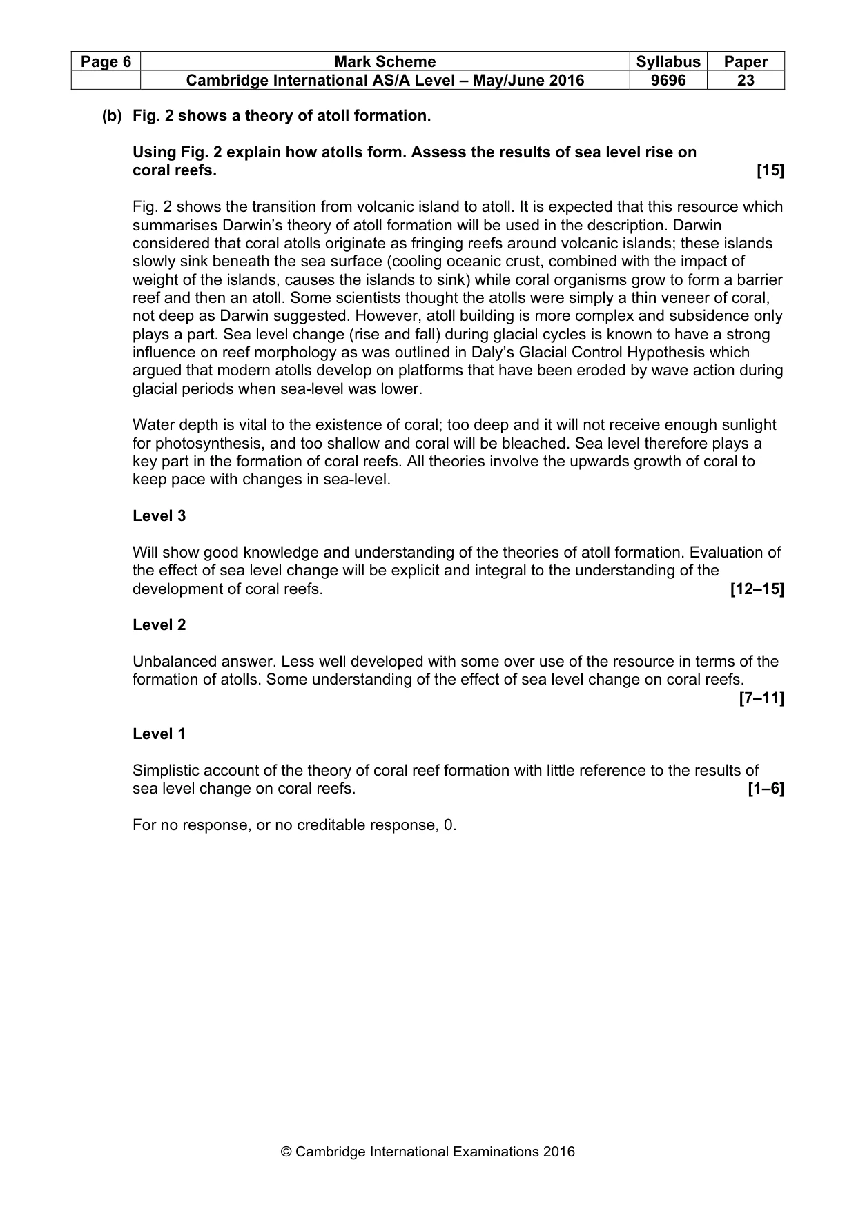
Page 6 Mark Scheme Syllabus Paper Cambridge International AS/A Level – May/June 2016 9696 23 © Cambridge International Examinations 2016 (b) Fig. 2 shows a theory of atoll formation. Using Fig. 2 explain how atolls form. Assess the results of sea level rise on coral reefs. [15] Fig. 2 shows the transition from volcanic island to atoll. It is expected that this resource which summarises Darwin’s theory of atoll formation will be used in the description. Darwin considered that coral atolls originate as fringing reefs around volcanic islands; these islands slowly sink beneath the sea surface (cooling oceanic crust, combined with the impact of weight of the islands, causes the islands to sink) while coral organisms grow to form a barrier reef and then an atoll. Some scientists thought the atolls were simply a thin veneer of coral, not deep as Darwin suggested. However, atoll building is more complex and subsidence only plays a part. Sea level change (rise and fall) during glacial cycles is known to have a strong influence on reef morphology as was outlined in Daly’s Glacial Control Hypothesis which argued that modern atolls develop on platforms that have been eroded by wave action during glacial periods when sea-level was lower. Water depth is vital to the existence of coral; too deep and it will not receive enough sunlight for photosynthesis, and too shallow and coral will be bleached. Sea level therefore plays a key part in the formation of coral reefs. All theories involve the upwards growth of coral to keep pace with changes in sea-level. Level 3 Will show good knowledge and understanding of the theories of atoll formation. Evaluation of the effect of sea level change will be explicit and integral to the understanding of the development of coral reefs. [12–15] Level 2 Unbalanced answer. Less well developed with some over use of the resource in terms of the formation of atolls. Some understanding of the effect of sea level change on coral reefs. [7–11] Level 1 Simplistic account of the theory of coral reef formation with little reference to the results of sea level change on coral reefs. [1–6] For no response, or no creditable response, 0.
Mark scheme, page 7
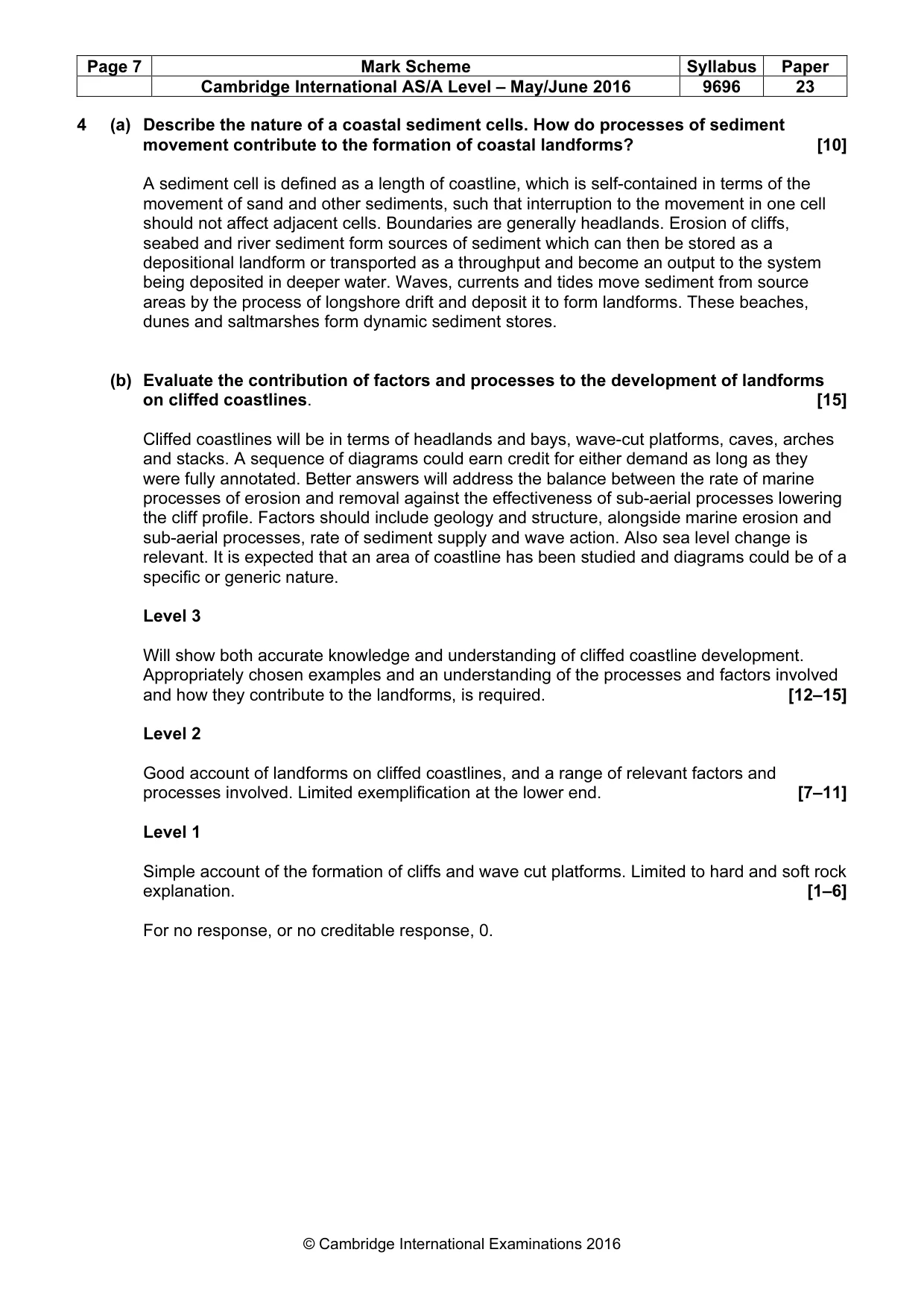
Page 7 Mark Scheme Syllabus Paper Cambridge International AS/A Level – May/June 2016 9696 23 © Cambridge International Examinations 2016 4 (a) Describe the nature of a coastal sediment cells. How do processes of sediment movement contribute to the formation of coastal landforms? [10] A sediment cell is defined as a length of coastline, which is self-contained in terms of the movement of sand and other sediments, such that interruption to the movement in one cell should not affect adjacent cells. Boundaries are generally headlands. Erosion of cliffs, seabed and river sediment form sources of sediment which can then be stored as a depositional landform or transported as a throughput and become an output to the system being deposited in deeper water. Waves, currents and tides move sediment from source areas by the process of longshore drift and deposit it to form landforms. These beaches, dunes and saltmarshes form dynamic sediment stores. (b) Evaluate the contribution of factors and processes to the development of landforms on cliffed coastlines. [15] Cliffed coastlines will be in terms of headlands and bays, wave-cut platforms, caves, arches and stacks. A sequence of diagrams could earn credit for either demand as long as they were fully annotated. Better answers will address the balance between the rate of marine processes of erosion and removal against the effectiveness of sub-aerial processes lowering the cliff profile. Factors should include geology and structure, alongside marine erosion and sub-aerial processes, rate of sediment supply and wave action. Also sea level change is relevant. It is expected that an area of coastline has been studied and diagrams could be of a specific or generic nature. Level 3 Will show both accurate knowledge and understanding of cliffed coastline development. Appropriately chosen examples and an understanding of the processes and factors involved and how they contribute to the landforms, is required. [12–15] Level 2 Good account of landforms on cliffed coastlines, and a range of relevant factors and processes involved. Limited exemplification at the lower end. [7–11] Level 1 Simple account of the formation of cliffs and wave cut platforms. Limited to hard and soft rock explanation. [1–6] For no response, or no creditable response, 0.
Mark scheme, page 8
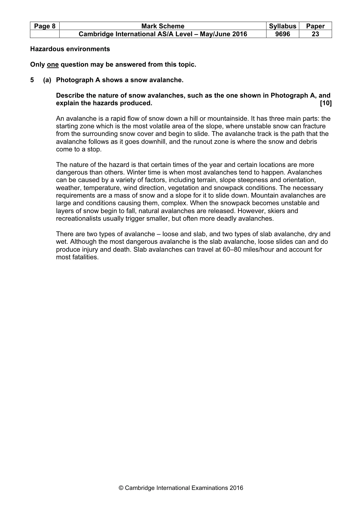
Page 8 Mark Scheme Syllabus Paper Cambridge International AS/A Level – May/June 2016 9696 23 © Cambridge International Examinations 2016 Hazardous environments Only one question may be answered from this topic. 5 (a) Photograph A shows a snow avalanche. Describe the nature of snow avalanches, such as the one shown in Photograph A, and explain the hazards produced. [10] An avalanche is a rapid flow of snow down a hill or mountainside. It has three main parts: the starting zone which is the most volatile area of the slope, where unstable snow can fracture from the surrounding snow cover and begin to slide. The avalanche track is the path that the avalanche follows as it goes downhill, and the runout zone is where the snow and debris come to a stop. The nature of the hazard is that certain times of the year and certain locations are more dangerous than others. Winter time is when most avalanches tend to happen. Avalanches can be caused by a variety of factors, including terrain, slope steepness and orientation, weather, temperature, wind direction, vegetation and snowpack conditions. The necessary requirements are a mass of snow and a slope for it to slide down. Mountain avalanches are large and conditions causing them, complex. When the snowpack becomes unstable and layers of snow begin to fall, natural avalanches are released. However, skiers and recreationalists usually trigger smaller, but often more deadly avalanches. There are two types of avalanche – loose and slab, and two types of slab avalanche, dry and wet. Although the most dangerous avalanche is the slab avalanche, loose slides can and do produce injury and death. Slab avalanches can travel at 60–80 miles/hour and account for most fatalities.
Mark scheme, page 9
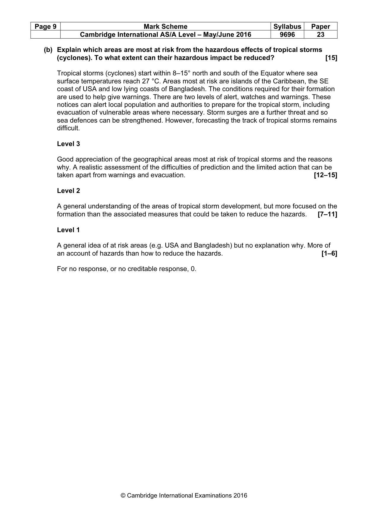
Page 9 Mark Scheme Syllabus Paper Cambridge International AS/A Level – May/June 2016 9696 23 © Cambridge International Examinations 2016 (b) Explain which areas are most at risk from the hazardous effects of tropical storms (cyclones). To what extent can their hazardous impact be reduced? [15] Tropical storms (cyclones) start within 8–15° north and south of the Equator where sea surface temperatures reach 27 °C. Areas most at risk are islands of the Caribbean, the SE coast of USA and low lying coasts of Bangladesh. The conditions required for their formation are used to help give warnings. There are two levels of alert, watches and warnings. These notices can alert local population and authorities to prepare for the tropical storm, including evacuation of vulnerable areas where necessary. Storm surges are a further threat and so sea defences can be strengthened. However, forecasting the track of tropical storms remains difficult. Level 3 Good appreciation of the geographical areas most at risk of tropical storms and the reasons why. A realistic assessment of the difficulties of prediction and the limited action that can be taken apart from warnings and evacuation. [12–15] Level 2 A general understanding of the areas of tropical storm development, but more focused on the formation than the associated measures that could be taken to reduce the hazards. [7–11] Level 1 A general idea of at risk areas (e.g. USA and Bangladesh) but no explanation why. More of an account of hazards than how to reduce the hazards. [1–6] For no response, or no creditable response, 0.
Mark scheme, page 10
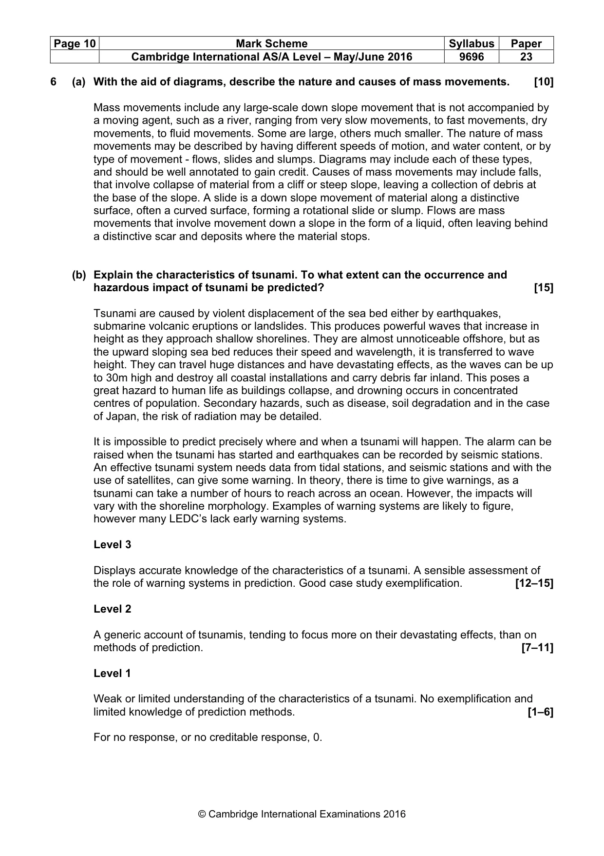
Page 10 Mark Scheme Syllabus Paper Cambridge International AS/A Level – May/June 2016 9696 23 © Cambridge International Examinations 2016 6 (a) With the aid of diagrams, describe the nature and causes of mass movements. [10] Mass movements include any large-scale down slope movement that is not accompanied by a moving agent, such as a river, ranging from very slow movements, to fast movements, dry movements, to fluid movements. Some are large, others much smaller. The nature of mass movements may be described by having different speeds of motion, and water content, or by type of movement - flows, slides and slumps. Diagrams may include each of these types, and should be well annotated to gain credit. Causes of mass movements may include falls, that involve collapse of material from a cliff or steep slope, leaving a collection of debris at the base of the slope. A slide is a down slope movement of material along a distinctive surface, often a curved surface, forming a rotational slide or slump. Flows are mass movements that involve movement down a slope in the form of a liquid, often leaving behind a distinctive scar and deposits where the material stops. (b) Explain the characteristics of tsunami. To what extent can the occurrence and hazardous impact of tsunami be predicted? [15] Tsunami are caused by violent displacement of the sea bed either by earthquakes, submarine volcanic eruptions or landslides. This produces powerful waves that increase in height as they approach shallow shorelines. They are almost unnoticeable offshore, but as the upward sloping sea bed reduces their speed and wavelength, it is transferred to wave height. They can travel huge distances and have devastating effects, as the waves can be up to 30m high and destroy all coastal installations and carry debris far inland. This poses a great hazard to human life as buildings collapse, and drowning occurs in concentrated centres of population. Secondary hazards, such as disease, soil degradation and in the case of Japan, the risk of radiation may be detailed. It is impossible to predict precisely where and when a tsunami will happen. The alarm can be raised when the tsunami has started and earthquakes can be recorded by seismic stations. An effective tsunami system needs data from tidal stations, and seismic stations and with the use of satellites, can give some warning. In theory, there is time to give warnings, as a tsunami can take a number of hours to reach across an ocean. However, the impacts will vary with the shoreline morphology. Examples of warning systems are likely to figure, however many LEDC’s lack early warning systems. Level 3 Displays accurate knowledge of the characteristics of a tsunami. A sensible assessment of the role of warning systems in prediction. Good case study exemplification. [12–15] Level 2 A generic account of tsunamis, tending to focus more on their devastating effects, than on methods of prediction. [7–11] Level 1 Weak or limited understanding of the characteristics of a tsunami. No exemplification and limited knowledge of prediction methods. [1–6] For no response, or no creditable response, 0.
Mark scheme, page 11
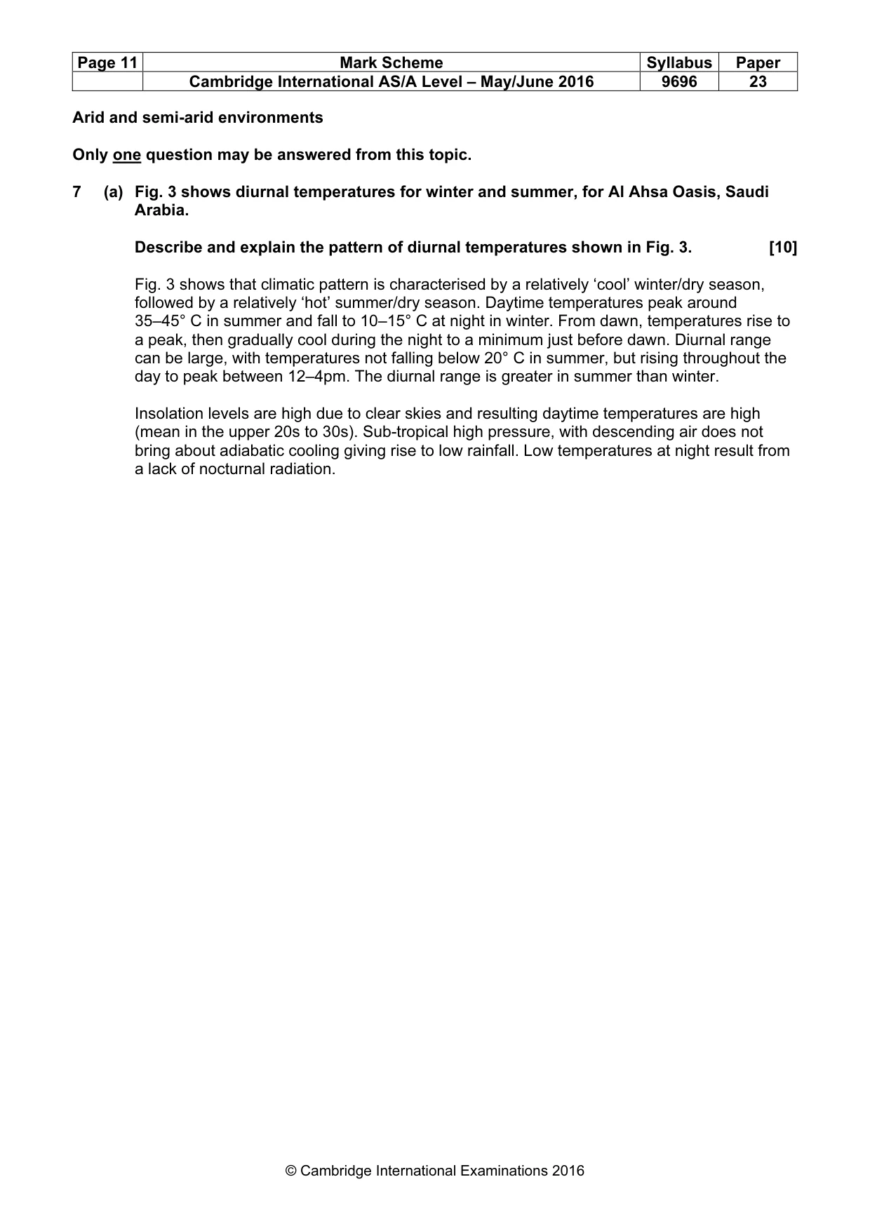
Page 11 Mark Scheme Syllabus Paper Cambridge International AS/A Level – May/June 2016 9696 23 © Cambridge International Examinations 2016 Arid and semi-arid environments Only one question may be answered from this topic. 7 (a) Fig. 3 shows diurnal temperatures for winter and summer, for Al Ahsa Oasis, Saudi Arabia. Describe and explain the pattern of diurnal temperatures shown in Fig. 3. [10] Fig. 3 shows that climatic pattern is characterised by a relatively ‘cool’ winter/dry season, followed by a relatively ‘hot’ summer/dry season. Daytime temperatures peak around 35–45° C in summer and fall to 10–15° C at night in winter. From dawn, temperatures rise to a peak, then gradually cool during the night to a minimum just before dawn. Diurnal range can be large, with temperatures not falling below 20° C in summer, but rising throughout the day to peak between 12–4pm. The diurnal range is greater in summer than winter. Insolation levels are high due to clear skies and resulting daytime temperatures are high (mean in the upper 20s to 30s). Sub-tropical high pressure, with descending air does not bring about adiabatic cooling giving rise to low rainfall. Low temperatures at night result from a lack of nocturnal radiation.
Mark scheme, page 12
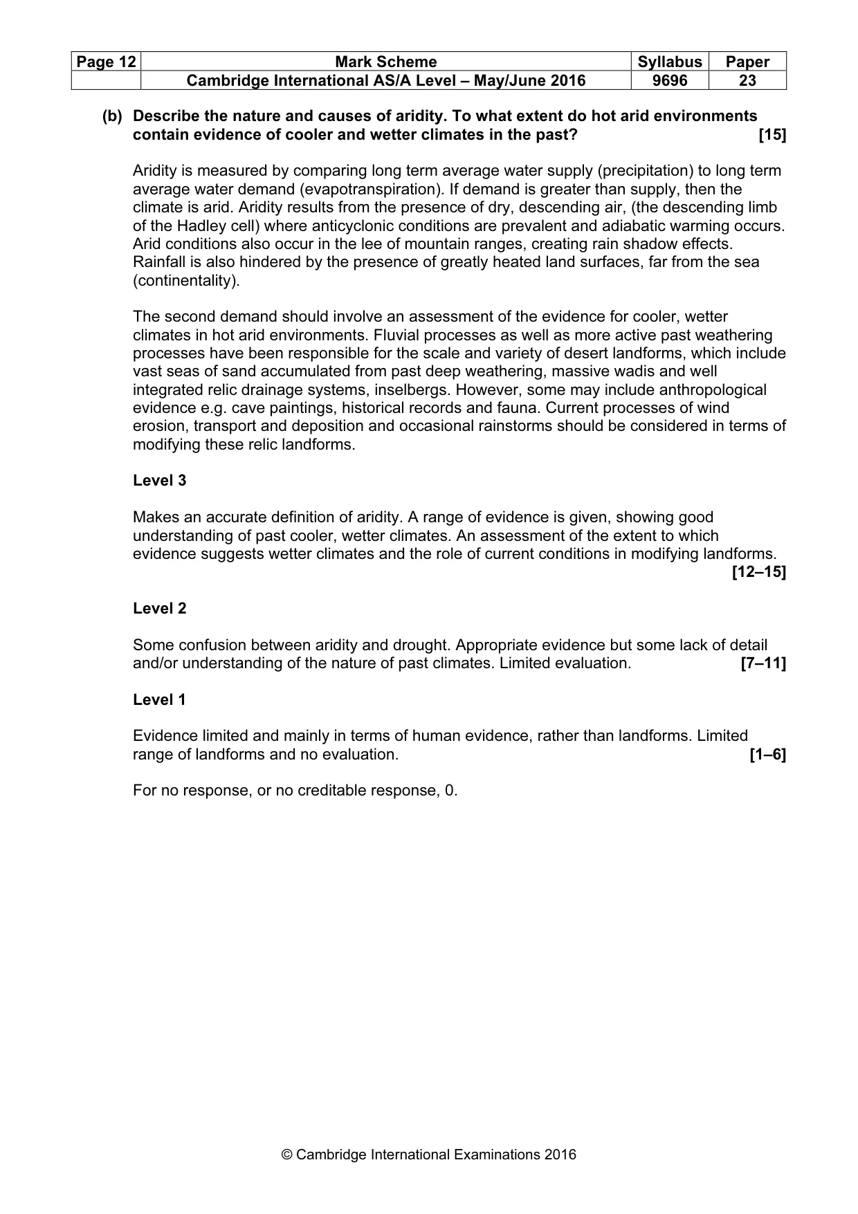
Page 12 Mark Scheme Syllabus Paper Cambridge International AS/A Level – May/June 2016 9696 23 © Cambridge International Examinations 2016 (b) Describe the nature and causes of aridity. To what extent do hot arid environments contain evidence of cooler and wetter climates in the past? [15] Aridity is measured by comparing long term average water supply (precipitation) to long term average water demand (evapotranspiration). If demand is greater than supply, then the climate is arid. Aridity results from the presence of dry, descending air, (the descending limb of the Hadley cell) where anticyclonic conditions are prevalent and adiabatic warming occurs. Arid conditions also occur in the lee of mountain ranges, creating rain shadow effects. Rainfall is also hindered by the presence of greatly heated land surfaces, far from the sea (continentality). The second demand should involve an assessment of the evidence for cooler, wetter climates in hot arid environments. Fluvial processes as well as more active past weathering processes have been responsible for the scale and variety of desert landforms, which include vast seas of sand accumulated from past deep weathering, massive wadis and well integrated relic drainage systems, inselbergs. However, some may include anthropological evidence e.g. cave paintings, historical records and fauna. Current processes of wind erosion, transport and deposition and occasional rainstorms should be considered in terms of modifying these relic landforms. Level 3 Makes an accurate definition of aridity. A range of evidence is given, showing good understanding of past cooler, wetter climates. An assessment of the extent to which evidence suggests wetter climates and the role of current conditions in modifying landforms. [12–15] Level 2 Some confusion between aridity and drought. Appropriate evidence but some lack of detail and/or understanding of the nature of past climates. Limited evaluation. [7–11] Level 1 Evidence limited and mainly in terms of human evidence, rather than landforms. Limited range of landforms and no evaluation. [1–6] For no response, or no creditable response, 0.
Mark scheme, page 13
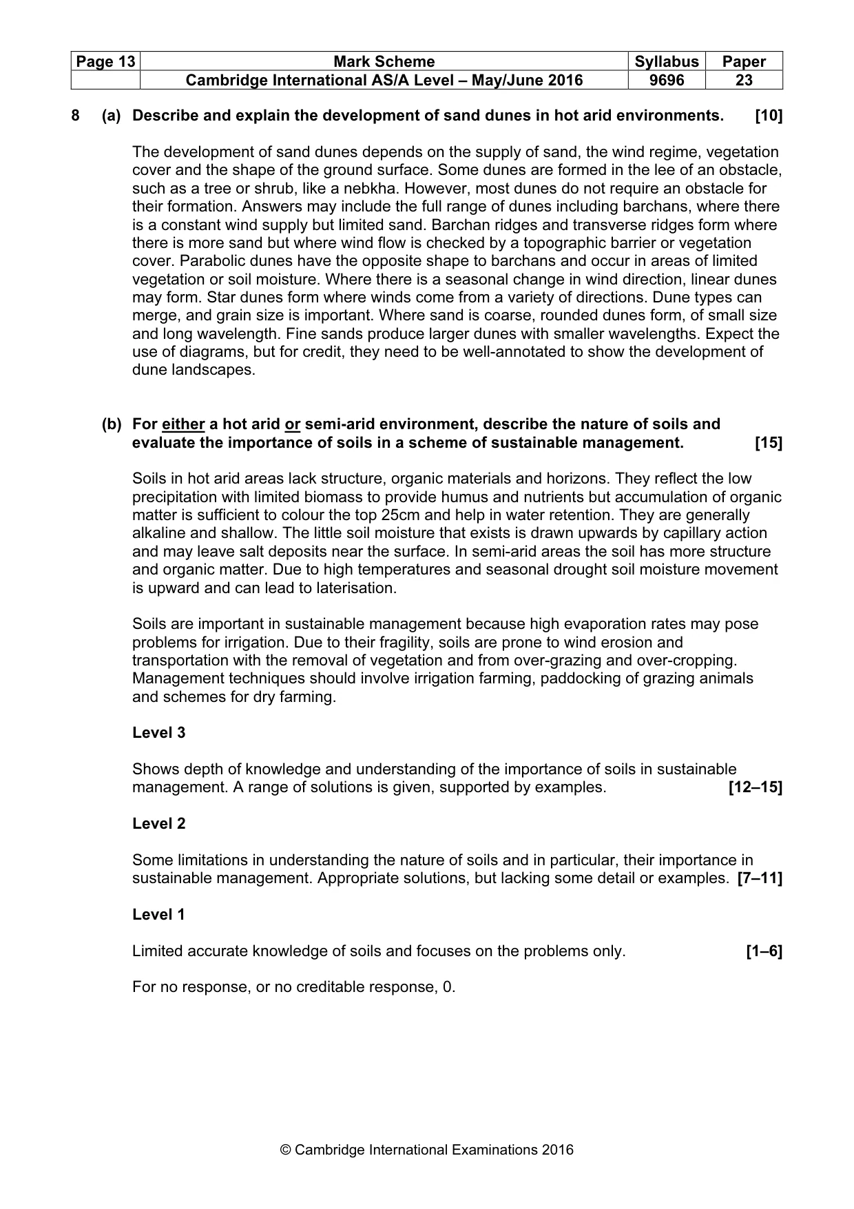
Page 13 Mark Scheme Syllabus Paper Cambridge International AS/A Level – May/June 2016 9696 23 © Cambridge International Examinations 2016 8 (a) Describe and explain the development of sand dunes in hot arid environments. [10] The development of sand dunes depends on the supply of sand, the wind regime, vegetation cover and the shape of the ground surface. Some dunes are formed in the lee of an obstacle, such as a tree or shrub, like a nebkha. However, most dunes do not require an obstacle for their formation. Answers may include the full range of dunes including barchans, where there is a constant wind supply but limited sand. Barchan ridges and transverse ridges form where there is more sand but where wind flow is checked by a topographic barrier or vegetation cover. Parabolic dunes have the opposite shape to barchans and occur in areas of limited vegetation or soil moisture. Where there is a seasonal change in wind direction, linear dunes may form. Star dunes form where winds come from a variety of directions. Dune types can merge, and grain size is important. Where sand is coarse, rounded dunes form, of small size and long wavelength. Fine sands produce larger dunes with smaller wavelengths. Expect the use of diagrams, but for credit, they need to be well-annotated to show the development of dune landscapes. (b) For either a hot arid or semi-arid environment, describe the nature of soils and evaluate the importance of soils in a scheme of sustainable management. [15] Soils in hot arid areas lack structure, organic materials and horizons. They reflect the low precipitation with limited biomass to provide humus and nutrients but accumulation of organic matter is sufficient to colour the top 25cm and help in water retention. They are generally alkaline and shallow. The little soil moisture that exists is drawn upwards by capillary action and may leave salt deposits near the surface. In semi-arid areas the soil has more structure and organic matter. Due to high temperatures and seasonal drought soil moisture movement is upward and can lead to laterisation. Soils are important in sustainable management because high evaporation rates may pose problems for irrigation. Due to their fragility, soils are prone to wind erosion and transportation with the removal of vegetation and from over-grazing and over-cropping. Management techniques should involve irrigation farming, paddocking of grazing animals and schemes for dry farming. Level 3 Shows depth of knowledge and understanding of the importance of soils in sustainable management. A range of solutions is given, supported by examples. [12–15] Level 2 Some limitations in understanding the nature of soils and in particular, their importance in sustainable management. Appropriate solutions, but lacking some detail or examples. [7–11] Level 1 Limited accurate knowledge of soils and focuses on the problems only. [1–6] For no response, or no creditable response, 0.
What you needed in this session
Cambridge’s own grade thresholds for 2016 May/June, Paper 2 · Variant 3. A higher threshold means an easier paper — the bar moves with how the cohort did.