Cambridge A Level Geography 9696 — 2010 Oct/Nov Paper 2 · Variant 3
9696/23/O/N/10 · 50 marks · ≈56 min
The question paper and its mark scheme, free to read here and free to download. This is Cambridge’s own paper, exactly as it was sat.
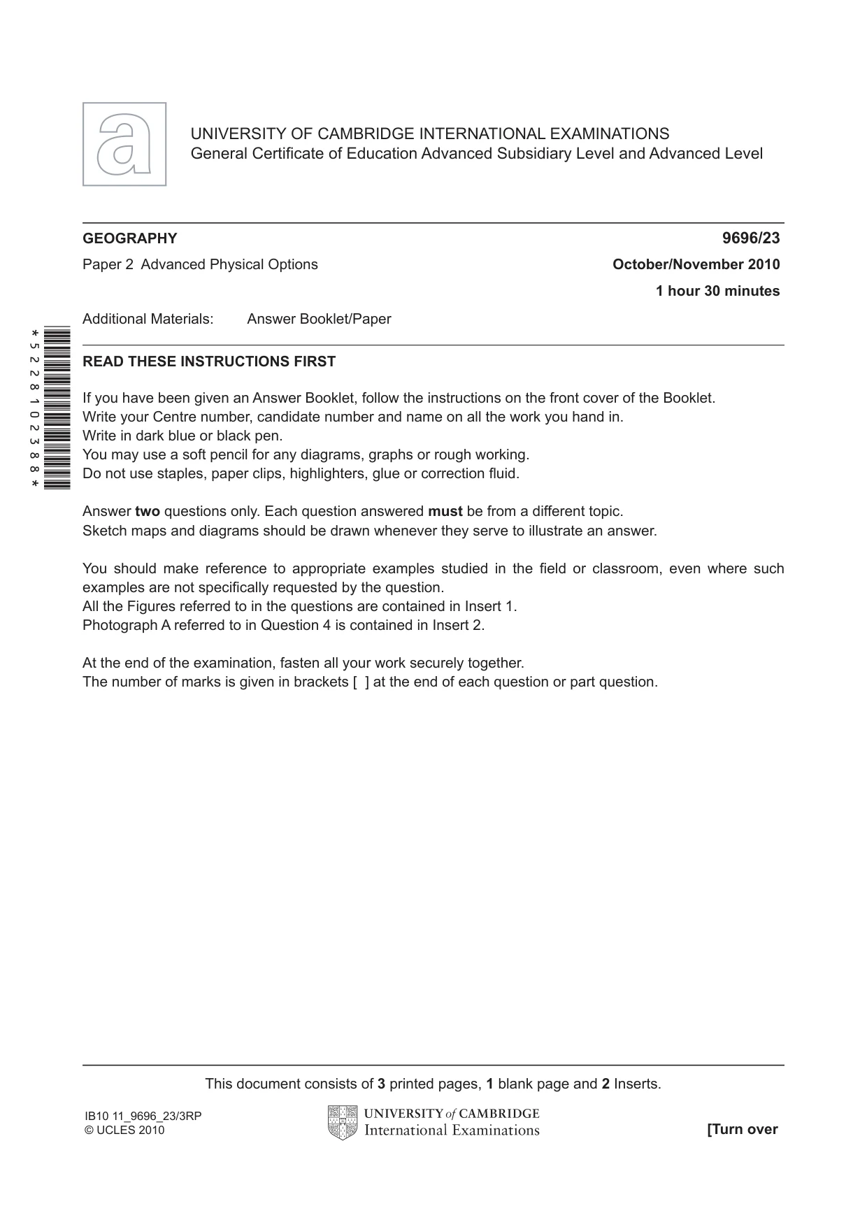
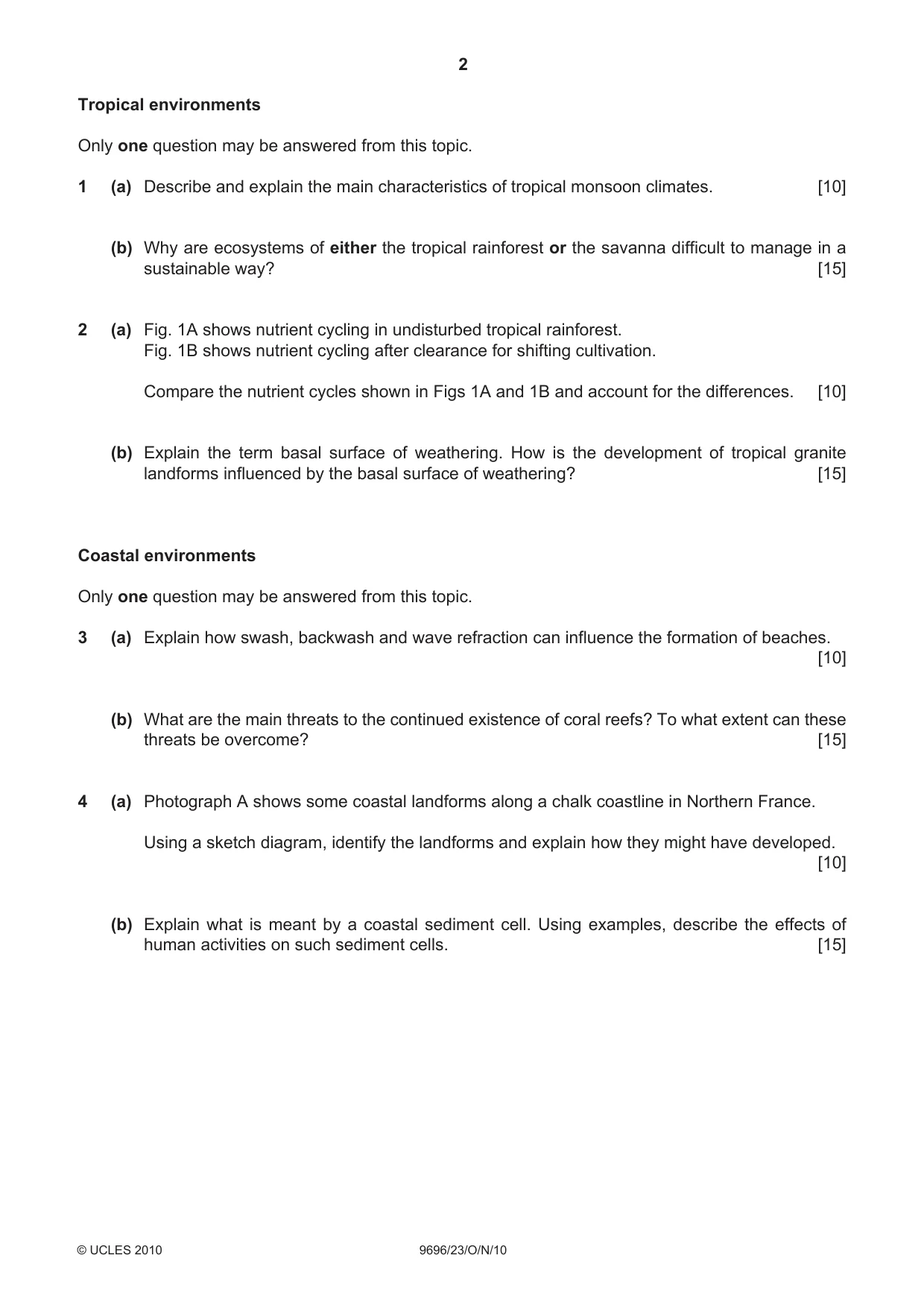
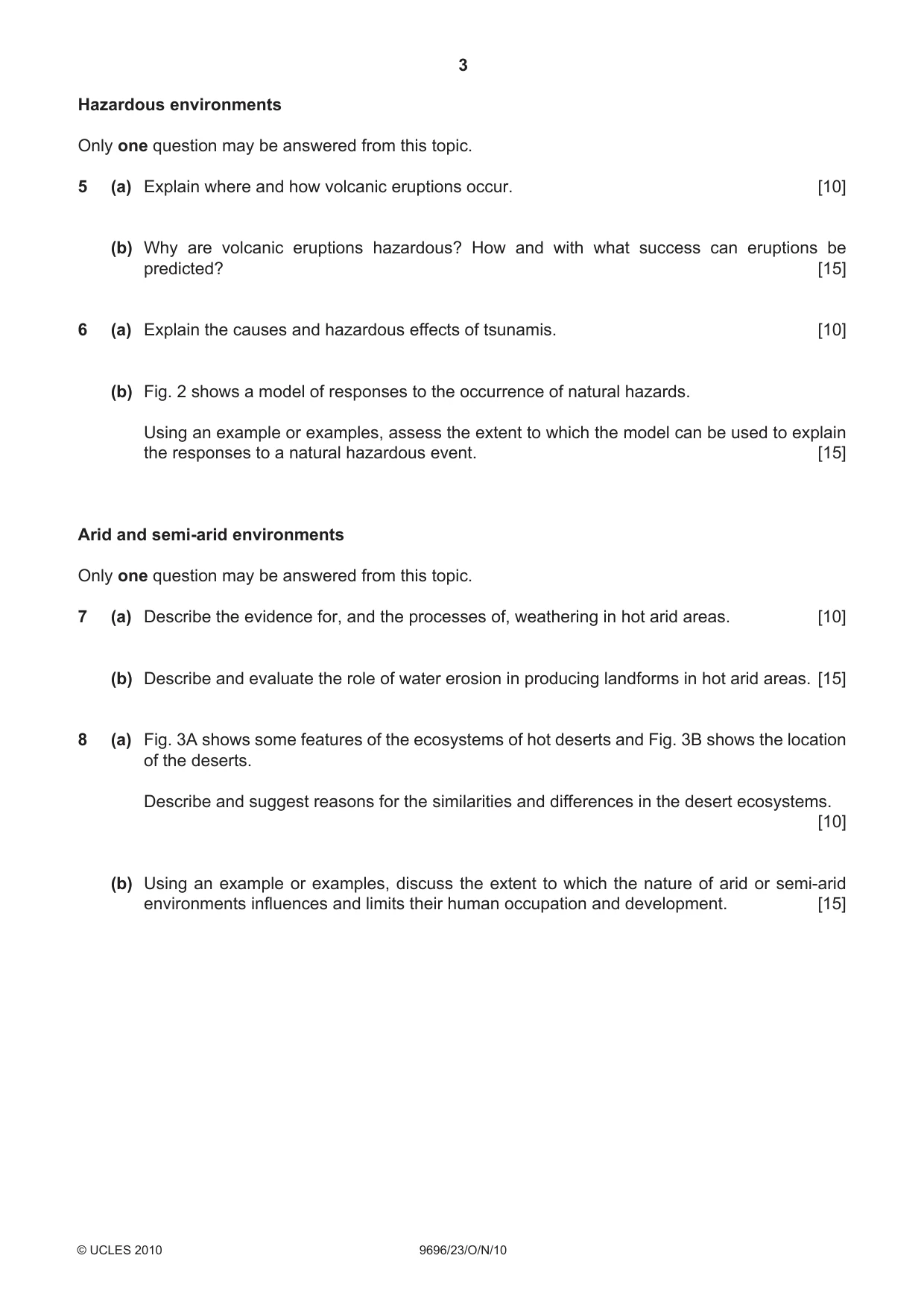
Question paper4 pages

Mark scheme9 pages
Answers below. Sit the paper first if you are practising.
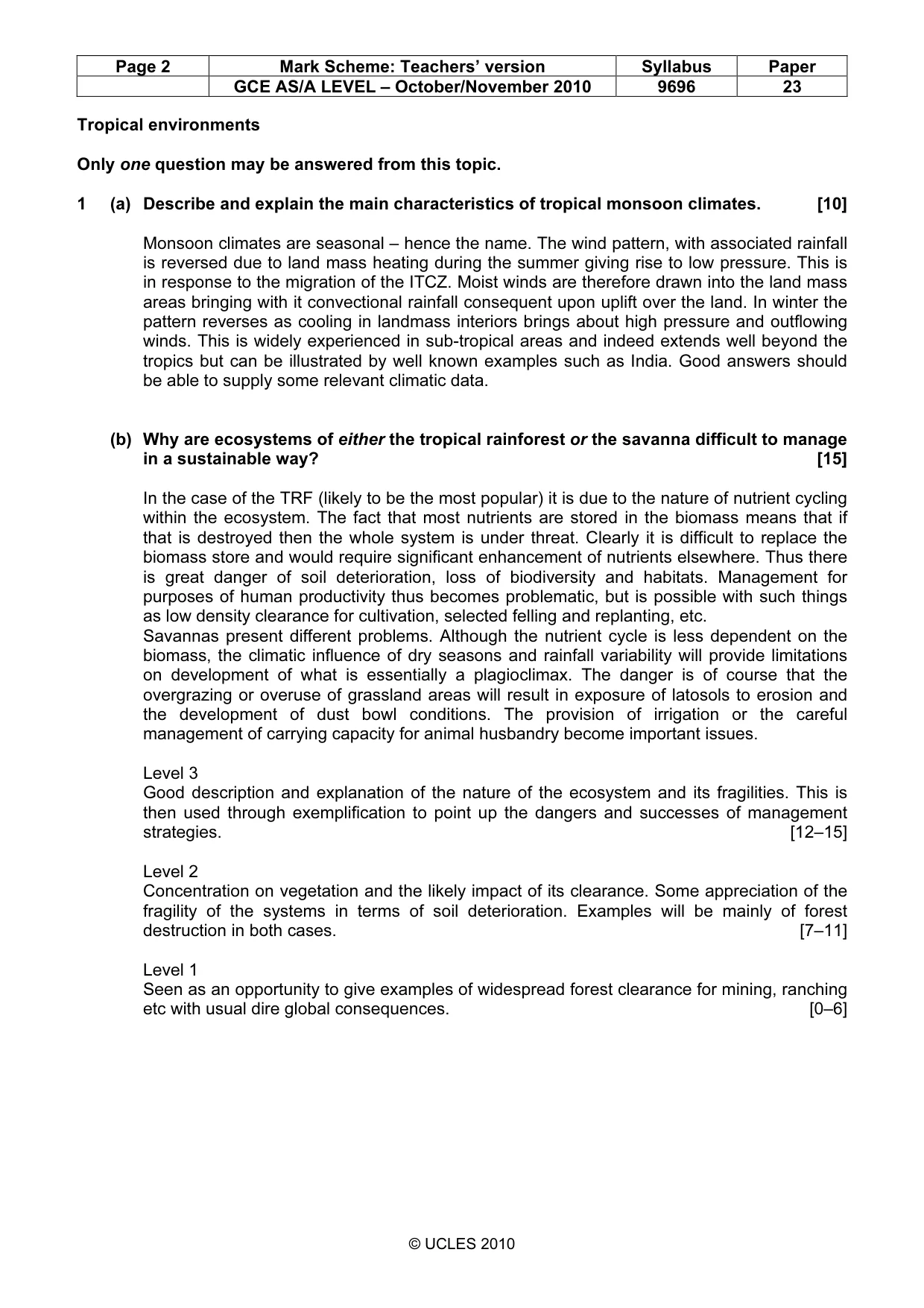
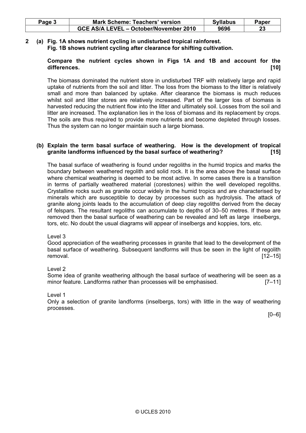
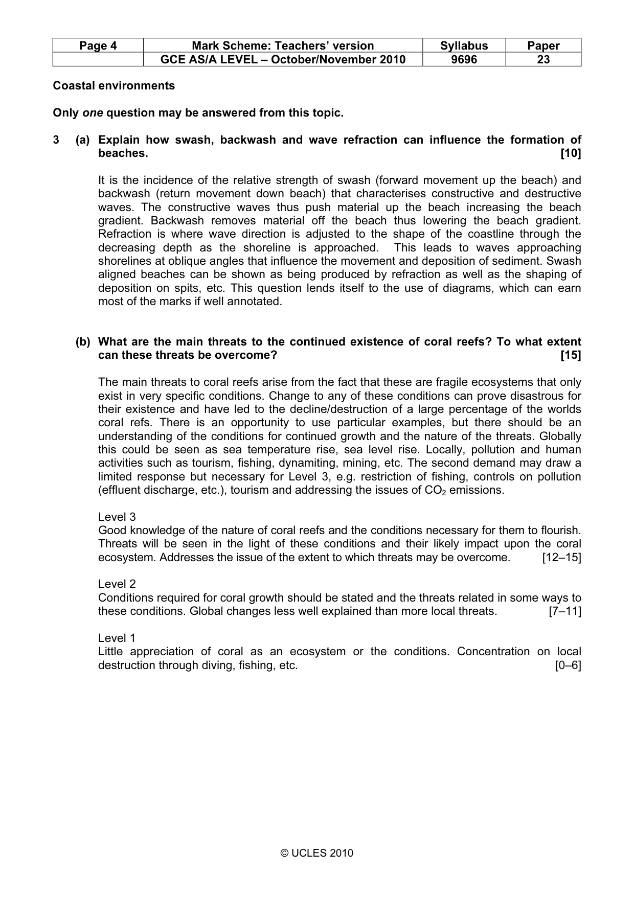
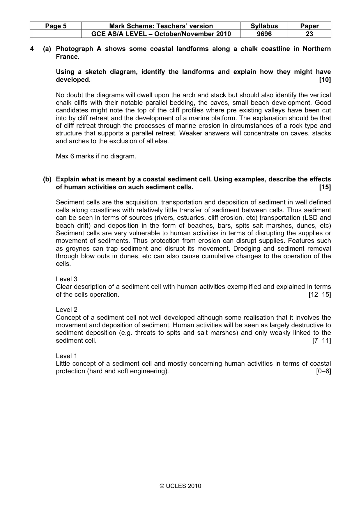
Paper as text
Question paper, page 1
READ THESE INSTRUCTIONS FIRST If you have been given an Answer Booklet, follow the instructions on the front cover of the Booklet. Write your Centre number, candidate number and name on all the work you hand in. Write in dark blue or black pen. You may use a soft pencil for any diagrams, graphs or rough working. Do not use staples, paper clips, highlighters, glue or correction fl uid. Answer two questions only. Each question answered must be from a different topic. Sketch maps and diagrams should be drawn whenever they serve to illustrate an answer. You should make reference to appropriate examples studied in the fi eld or classroom, even where such examples are not specifi cally requested by the question. All the Figures referred to in the questions are contained in Insert 1. Photograph A referred to in Question 4 is contained in Insert 2. At the end of the examination, fasten all your work securely together. The number of marks is given in brackets [ ] at the end of each question or part question. GEOGRAPHY 9696/23 Paper 2 Advanced Physical Options October/November 2010 1 hour 30 minutes Additional Materials: Answer Booklet/Paper UNIVERSITY OF CAMBRIDGE INTERNATIONAL EXAMINATIONS General Certifi cate of Education Advanced Subsidiary Level and Advanced Level This document consists of 3 printed pages, 1 blank page and 2 Inserts. [Turn over IB10 11_9696_23/3RP © UCLES 2010 *5228102388*
Question paper, page 2
2 9696/23/O/N/10 © UCLES 2010 Tropical environments Only one question may be answered from this topic. 1 (a) Describe and explain the main characteristics of tropical monsoon climates. [10] (b) Why are ecosystems of either the tropical rainforest or the savanna difficult to manage in a sustainable way? [15] 2 (a) Fig. 1A shows nutrient cycling in undisturbed tropical rainforest. Fig. 1B shows nutrient cycling after clearance for shifting cultivation. Compare the nutrient cycles shown in Figs 1A and 1B and account for the differences. [10] (b) Explain the term basal surface of weathering. How is the development of tropical granite landforms influenced by the basal surface of weathering? [15] Coastal environments Only one question may be answered from this topic. 3 (a) Explain how swash, backwash and wave refraction can influence the formation of beaches. [10] (b) What are the main threats to the continued existence of coral reefs? To what extent can these threats be overcome? [15] 4 (a) Photograph A shows some coastal landforms along a chalk coastline in Northern France. Using a sketch diagram, identify the landforms and explain how they might have developed. [10] (b) Explain what is meant by a coastal sediment cell. Using examples, describe the effects of human activities on such sediment cells. [15]
Question paper, page 3
3 9696/23/O/N/10 © UCLES 2010 [Turn over Hazardous environments Only one question may be answered from this topic. 5 (a) Explain where and how volcanic eruptions occur. [10] (b) Why are volcanic eruptions hazardous? How and with what success can eruptions be predicted? [15] 6 (a) Explain the causes and hazardous effects of tsunamis. [10] (b) Fig. 2 shows a model of responses to the occurrence of natural hazards. Using an example or examples, assess the extent to which the model can be used to explain the responses to a natural hazardous event. [15] Arid and semi-arid environments Only one question may be answered from this topic. 7 (a) Describe the evidence for, and the processes of, weathering in hot arid areas. [10] (b) Describe and evaluate the role of water erosion in producing landforms in hot arid areas. [15] 8 (a) Fig. 3A shows some features of the ecosystems of hot deserts and Fig. 3B shows the location of the deserts. Describe and suggest reasons for the similarities and differences in the desert ecosystems. [10] (b) Using an example or examples, discuss the extent to which the nature of arid or semi-arid environments influences and limits their human occupation and development. [15]
Question paper, page 4
4 Copyright Acknowledgements: Question 4 Photograph A © www.photo_paysage.com/displayimage.php?album=52&pus=80 Question 6 Fig. 2 © Geo Factsheets No.194; Curriculum Press. Permission to reproduce items where third-party owned material protected by copyright is included has been sought and cleared where possible. Every reasonable effort has been made by the publisher (UCLES) to trace copyright holders, but if any items requiring clearance have unwittingly been included, the publisher will be pleased to make amends at the earliest possible opportunity. University of Cambridge International Examinations is part of the Cambridge Assessment Group. Cambridge Assessment is the brand name of University of Cambridge Local Examinations Syndicate (UCLES), which is itself a department of the University of Cambridge. 9696/23/O/N/10 © UCLES 2010 BLANK PAGE
Mark scheme, page 1
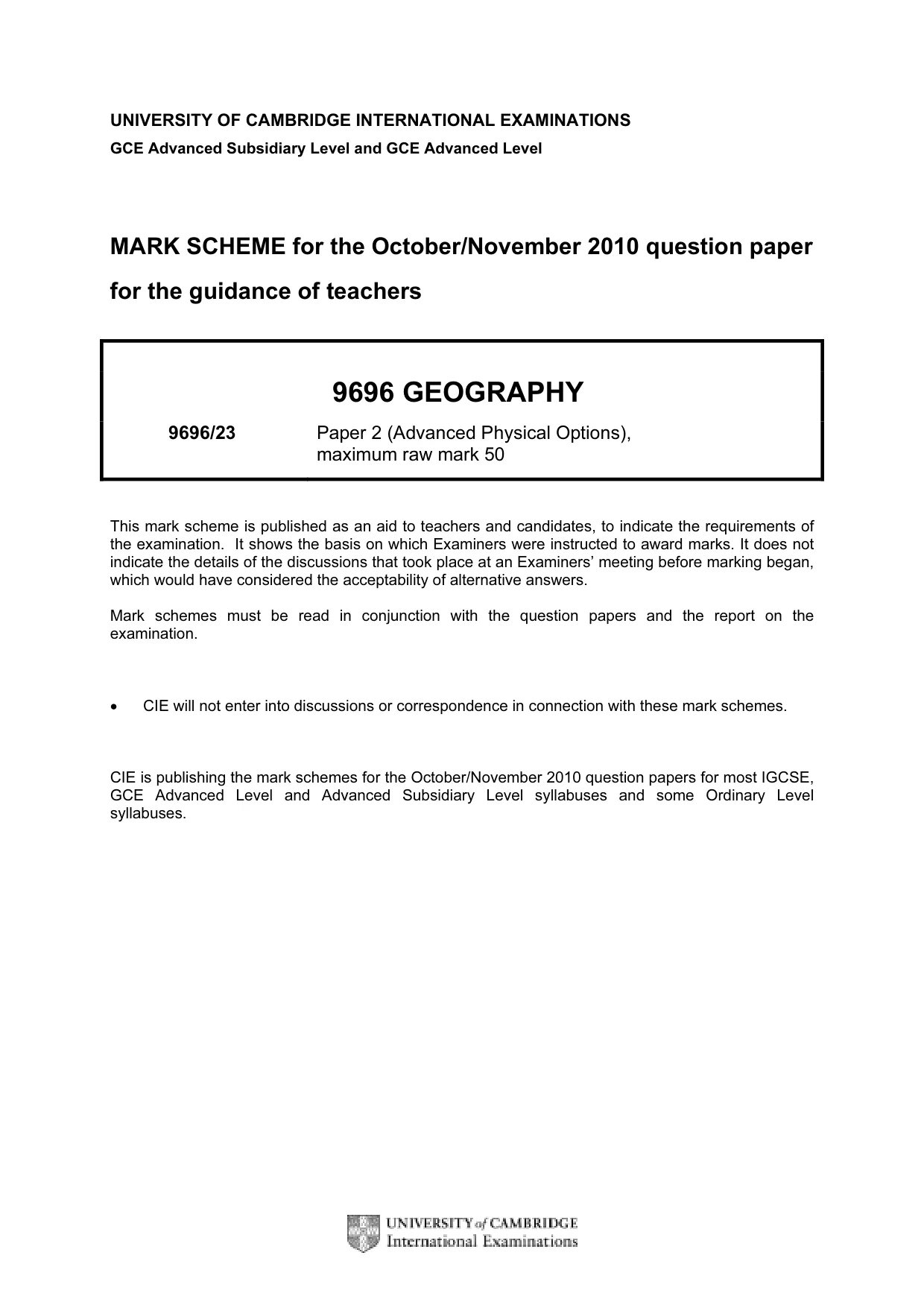
UNIVERSITY OF CAMBRIDGE INTERNATIONAL EXAMINATIONS GCE Advanced Subsidiary Level and GCE Advanced Level MARK SCHEME for the October/November 2010 question paper for the guidance of teachers 9696 GEOGRAPHY 9696/23 Paper 2 (Advanced Physical Options), maximum raw mark 50 This mark scheme is published as an aid to teachers and candidates, to indicate the requirements of the examination. It shows the basis on which Examiners were instructed to award marks. It does not indicate the details of the discussions that took place at an Examiners’ meeting before marking began, which would have considered the acceptability of alternative answers. Mark schemes must be read in conjunction with the question papers and the report on the examination. • CIE will not enter into discussions or correspondence in connection with these mark schemes. CIE is publishing the mark schemes for the October/November 2010 question papers for most IGCSE, GCE Advanced Level and Advanced Subsidiary Level syllabuses and some Ordinary Level syllabuses.
Mark scheme, page 2
Page 2 Mark Scheme: Teachers’ version Syllabus Paper GCE AS/A LEVEL – October/November 2010 9696 23 © UCLES 2010 Tropical environments Only one question may be answered from this topic. 1 (a) Describe and explain the main characteristics of tropical monsoon climates. [10] Monsoon climates are seasonal – hence the name. The wind pattern, with associated rainfall is reversed due to land mass heating during the summer giving rise to low pressure. This is in response to the migration of the ITCZ. Moist winds are therefore drawn into the land mass areas bringing with it convectional rainfall consequent upon uplift over the land. In winter the pattern reverses as cooling in landmass interiors brings about high pressure and outflowing winds. This is widely experienced in sub-tropical areas and indeed extends well beyond the tropics but can be illustrated by well known examples such as India. Good answers should be able to supply some relevant climatic data. (b) Why are ecosystems of either the tropical rainforest or the savanna difficult to manage in a sustainable way? [15] In the case of the TRF (likely to be the most popular) it is due to the nature of nutrient cycling within the ecosystem. The fact that most nutrients are stored in the biomass means that if that is destroyed then the whole system is under threat. Clearly it is difficult to replace the biomass store and would require significant enhancement of nutrients elsewhere. Thus there is great danger of soil deterioration, loss of biodiversity and habitats. Management for purposes of human productivity thus becomes problematic, but is possible with such things as low density clearance for cultivation, selected felling and replanting, etc. Savannas present different problems. Although the nutrient cycle is less dependent on the biomass, the climatic influence of dry seasons and rainfall variability will provide limitations on development of what is essentially a plagioclimax. The danger is of course that the overgrazing or overuse of grassland areas will result in exposure of latosols to erosion and the development of dust bowl conditions. The provision of irrigation or the careful management of carrying capacity for animal husbandry become important issues. Level 3 Good description and explanation of the nature of the ecosystem and its fragilities. This is then used through exemplification to point up the dangers and successes of management strategies. [12–15] Level 2 Concentration on vegetation and the likely impact of its clearance. Some appreciation of the fragility of the systems in terms of soil deterioration. Examples will be mainly of forest destruction in both cases. [7–11] Level 1 Seen as an opportunity to give examples of widespread forest clearance for mining, ranching etc with usual dire global consequences. [0–6]
Mark scheme, page 3
Page 3 Mark Scheme: Teachers’ version Syllabus Paper GCE AS/A LEVEL – October/November 2010 9696 23 © UCLES 2010 2 (a) Fig. 1A shows nutrient cycling in undisturbed tropical rainforest. Fig. 1B shows nutrient cycling after clearance for shifting cultivation. Compare the nutrient cycles shown in Figs 1A and 1B and account for the differences. [10] The biomass dominated the nutrient store in undisturbed TRF with relatively large and rapid uptake of nutrients from the soil and litter. The loss from the biomass to the litter is relatively small and more than balanced by uptake. After clearance the biomass is much reduces whilst soil and litter stores are relatively increased. Part of the larger loss of biomass is harvested reducing the nutrient flow into the litter and ultimately soil. Losses from the soil and litter are increased. The explanation lies in the loss of biomass and its replacement by crops. The soils are thus required to provide more nutrients and become depleted through losses. Thus the system can no longer maintain such a large biomass. (b) Explain the term basal surface of weathering. How is the development of tropical granite landforms influenced by the basal surface of weathering? [15] The basal surface of weathering is found under regoliths in the humid tropics and marks the boundary between weathered regolith and solid rock. It is the area above the basal surface where chemical weathering is deemed to be most active. In some cases there is a transition in terms of partially weathered material (corestones) within the well developed regoliths. Crystalline rocks such as granite occur widely in the humid tropics and are characterised by minerals which are susceptible to decay by processes such as hydrolysis. The attack of granite along joints leads to the accumulation of deep clay regoliths derived from the decay of felspars. The resultant regoliths can accumulate to depths of 30–50 metres. If these are removed then the basal surface of weathering can be revealed and left as large inselbergs, tors, etc. No doubt the usual diagrams will appear of inselbergs and koppies, tors, etc. Level 3 Good appreciation of the weathering processes in granite that lead to the development of the basal surface of weathering. Subsequent landforms will thus be seen in the light of regolith removal. [12–15] Level 2 Some idea of granite weathering although the basal surface of weathering will be seen as a minor feature. Landforms rather than processes will be emphasised. [7–11] Level 1 Only a selection of granite landforms (inselbergs, tors) with little in the way of weathering processes. [0–6]
Mark scheme, page 4
Page 4 Mark Scheme: Teachers’ version Syllabus Paper GCE AS/A LEVEL – October/November 2010 9696 23 © UCLES 2010 Coastal environments Only one question may be answered from this topic. 3 (a) Explain how swash, backwash and wave refraction can influence the formation of beaches. [10] It is the incidence of the relative strength of swash (forward movement up the beach) and backwash (return movement down beach) that characterises constructive and destructive waves. The constructive waves thus push material up the beach increasing the beach gradient. Backwash removes material off the beach thus lowering the beach gradient. Refraction is where wave direction is adjusted to the shape of the coastline through the decreasing depth as the shoreline is approached. This leads to waves approaching shorelines at oblique angles that influence the movement and deposition of sediment. Swash aligned beaches can be shown as being produced by refraction as well as the shaping of deposition on spits, etc. This question lends itself to the use of diagrams, which can earn most of the marks if well annotated. (b) What are the main threats to the continued existence of coral reefs? To what extent can these threats be overcome? [15] The main threats to coral reefs arise from the fact that these are fragile ecosystems that only exist in very specific conditions. Change to any of these conditions can prove disastrous for their existence and have led to the decline/destruction of a large percentage of the worlds coral refs. There is an opportunity to use particular examples, but there should be an understanding of the conditions for continued growth and the nature of the threats. Globally this could be seen as sea temperature rise, sea level rise. Locally, pollution and human activities such as tourism, fishing, dynamiting, mining, etc. The second demand may draw a limited response but necessary for Level 3, e.g. restriction of fishing, controls on pollution (effluent discharge, etc.), tourism and addressing the issues of CO2 emissions. Level 3 Good knowledge of the nature of coral reefs and the conditions necessary for them to flourish. Threats will be seen in the light of these conditions and their likely impact upon the coral ecosystem. Addresses the issue of the extent to which threats may be overcome. [12–15] Level 2 Conditions required for coral growth should be stated and the threats related in some ways to these conditions. Global changes less well explained than more local threats. [7–11] Level 1 Little appreciation of coral as an ecosystem or the conditions. Concentration on local destruction through diving, fishing, etc. [0–6]
Mark scheme, page 5
Page 5 Mark Scheme: Teachers’ version Syllabus Paper GCE AS/A LEVEL – October/November 2010 9696 23 © UCLES 2010 4 (a) Photograph A shows some coastal landforms along a chalk coastline in Northern France. Using a sketch diagram, identify the landforms and explain how they might have developed. [10] No doubt the diagrams will dwell upon the arch and stack but should also identify the vertical chalk cliffs with their notable parallel bedding, the caves, small beach development. Good candidates might note the top of the cliff profiles where pre existing valleys have been cut into by cliff retreat and the development of a marine platform. The explanation should be that of cliff retreat through the processes of marine erosion in circumstances of a rock type and structure that supports a parallel retreat. Weaker answers will concentrate on caves, stacks and arches to the exclusion of all else. Max 6 marks if no diagram. (b) Explain what is meant by a coastal sediment cell. Using examples, describe the effects of human activities on such sediment cells. [15] Sediment cells are the acquisition, transportation and deposition of sediment in well defined cells along coastlines with relatively little transfer of sediment between cells. Thus sediment can be seen in terms of sources (rivers, estuaries, cliff erosion, etc) transportation (LSD and beach drift) and deposition in the form of beaches, bars, spits salt marshes, dunes, etc) Sediment cells are very vulnerable to human activities in terms of disrupting the supplies or movement of sediments. Thus protection from erosion can disrupt supplies. Features such as groynes can trap sediment and disrupt its movement. Dredging and sediment removal through blow outs in dunes, etc can also cause cumulative changes to the operation of the cells. Level 3 Clear description of a sediment cell with human activities exemplified and explained in terms of the cells operation. [12–15] Level 2 Concept of a sediment cell not well developed although some realisation that it involves the movement and deposition of sediment. Human activities will be seen as largely destructive to sediment deposition (e.g. threats to spits and salt marshes) and only weakly linked to the sediment cell. [7–11] Level 1 Little concept of a sediment cell and mostly concerning human activities in terms of coastal protection (hard and soft engineering). [0–6]
Mark scheme, page 6
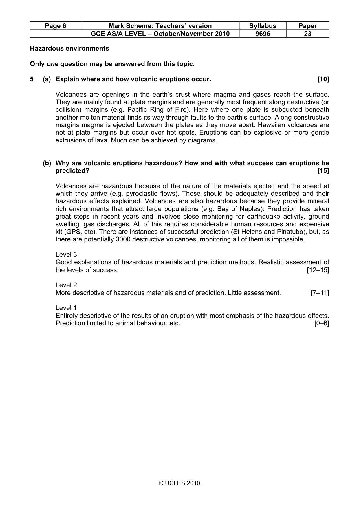
Page 6 Mark Scheme: Teachers’ version Syllabus Paper GCE AS/A LEVEL – October/November 2010 9696 23 © UCLES 2010 Hazardous environments Only one question may be answered from this topic. 5 (a) Explain where and how volcanic eruptions occur. [10] Volcanoes are openings in the earth’s crust where magma and gases reach the surface. They are mainly found at plate margins and are generally most frequent along destructive (or collision) margins (e.g. Pacific Ring of Fire). Here where one plate is subducted beneath another molten material finds its way through faults to the earth’s surface. Along constructive margins magma is ejected between the plates as they move apart. Hawaiian volcanoes are not at plate margins but occur over hot spots. Eruptions can be explosive or more gentle extrusions of lava. Much can be achieved by diagrams. (b) Why are volcanic eruptions hazardous? How and with what success can eruptions be predicted? [15] Volcanoes are hazardous because of the nature of the materials ejected and the speed at which they arrive (e.g. pyroclastic flows). These should be adequately described and their hazardous effects explained. Volcanoes are also hazardous because they provide mineral rich environments that attract large populations (e.g. Bay of Naples). Prediction has taken great steps in recent years and involves close monitoring for earthquake activity, ground swelling, gas discharges. All of this requires considerable human resources and expensive kit (GPS, etc). There are instances of successful prediction (St Helens and Pinatubo), but, as there are potentially 3000 destructive volcanoes, monitoring all of them is impossible. Level 3 Good explanations of hazardous materials and prediction methods. Realistic assessment of the levels of success. [12–15] Level 2 More descriptive of hazardous materials and of prediction. Little assessment. [7–11] Level 1 Entirely descriptive of the results of an eruption with most emphasis of the hazardous effects. Prediction limited to animal behaviour, etc. [0–6]
Mark scheme, page 7
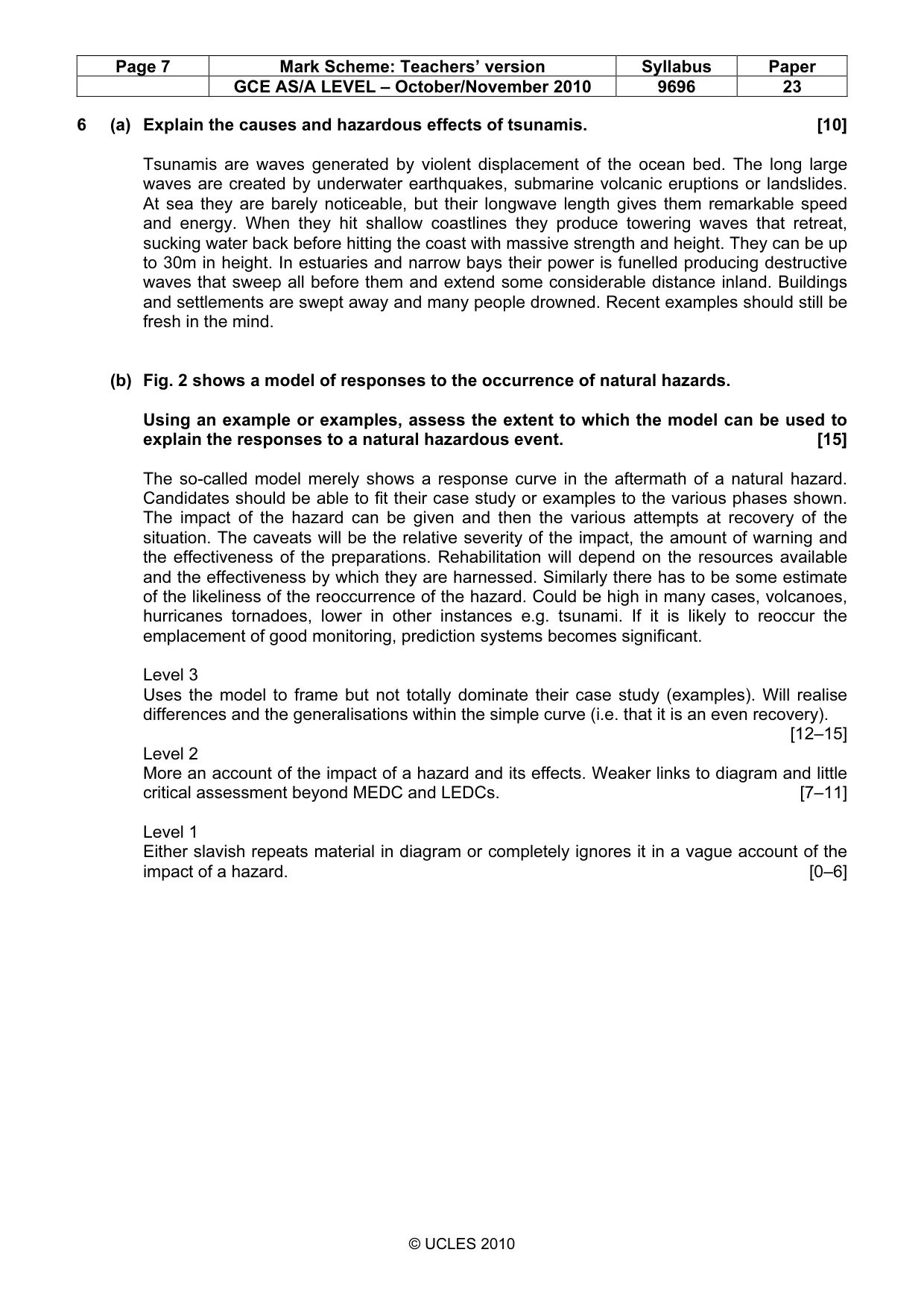
Page 7 Mark Scheme: Teachers’ version Syllabus Paper GCE AS/A LEVEL – October/November 2010 9696 23 © UCLES 2010 6 (a) Explain the causes and hazardous effects of tsunamis. [10] Tsunamis are waves generated by violent displacement of the ocean bed. The long large waves are created by underwater earthquakes, submarine volcanic eruptions or landslides. At sea they are barely noticeable, but their longwave length gives them remarkable speed and energy. When they hit shallow coastlines they produce towering waves that retreat, sucking water back before hitting the coast with massive strength and height. They can be up to 30m in height. In estuaries and narrow bays their power is funelled producing destructive waves that sweep all before them and extend some considerable distance inland. Buildings and settlements are swept away and many people drowned. Recent examples should still be fresh in the mind. (b) Fig. 2 shows a model of responses to the occurrence of natural hazards. Using an example or examples, assess the extent to which the model can be used to explain the responses to a natural hazardous event. [15] The so-called model merely shows a response curve in the aftermath of a natural hazard. Candidates should be able to fit their case study or examples to the various phases shown. The impact of the hazard can be given and then the various attempts at recovery of the situation. The caveats will be the relative severity of the impact, the amount of warning and the effectiveness of the preparations. Rehabilitation will depend on the resources available and the effectiveness by which they are harnessed. Similarly there has to be some estimate of the likeliness of the reoccurrence of the hazard. Could be high in many cases, volcanoes, hurricanes tornadoes, lower in other instances e.g. tsunami. If it is likely to reoccur the emplacement of good monitoring, prediction systems becomes significant. Level 3 Uses the model to frame but not totally dominate their case study (examples). Will realise differences and the generalisations within the simple curve (i.e. that it is an even recovery). [12–15] Level 2 More an account of the impact of a hazard and its effects. Weaker links to diagram and little critical assessment beyond MEDC and LEDCs. [7–11] Level 1 Either slavish repeats material in diagram or completely ignores it in a vague account of the impact of a hazard. [0–6]
Mark scheme, page 8
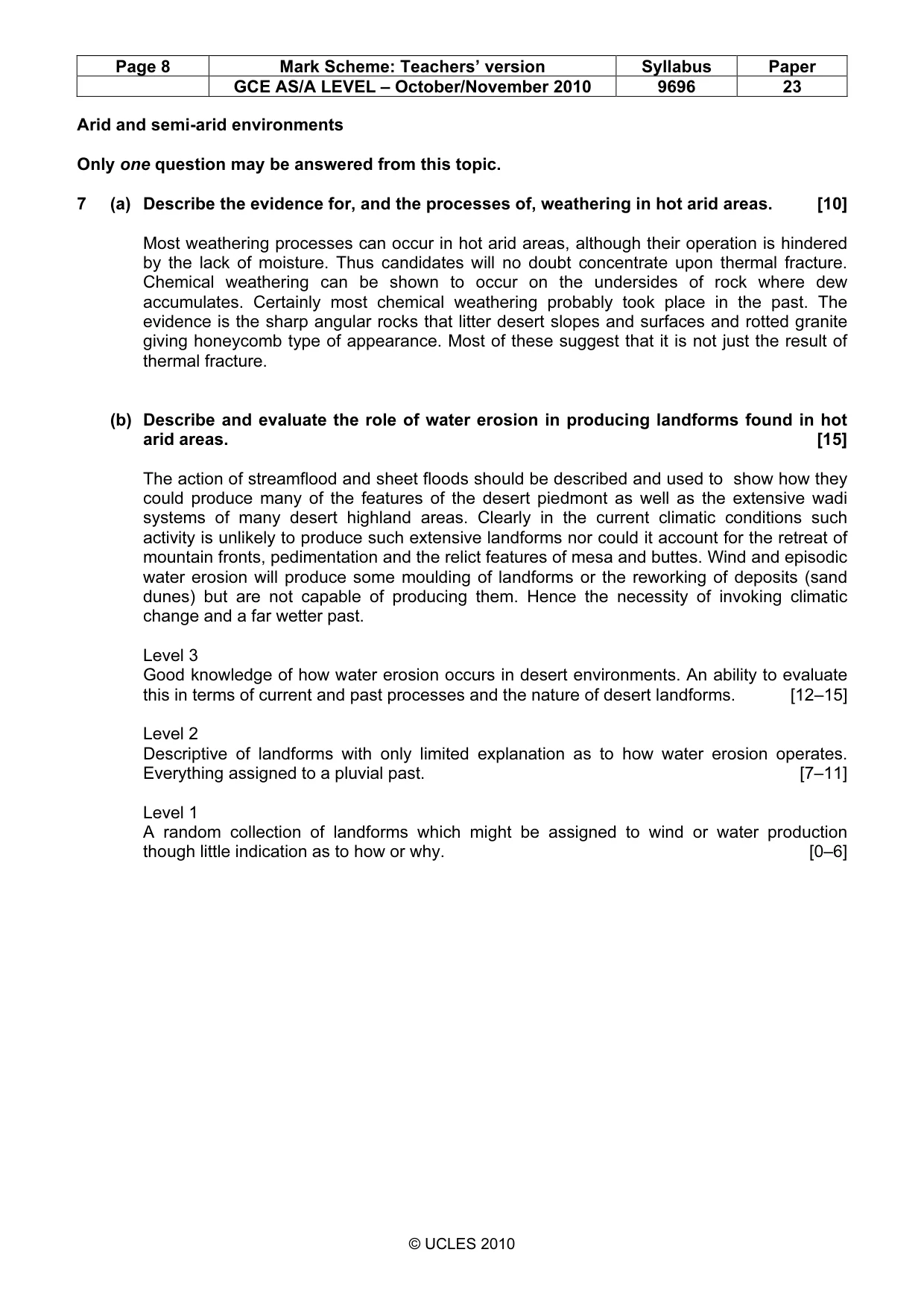
Page 8 Mark Scheme: Teachers’ version Syllabus Paper GCE AS/A LEVEL – October/November 2010 9696 23 © UCLES 2010 Arid and semi-arid environments Only one question may be answered from this topic. 7 (a) Describe the evidence for, and the processes of, weathering in hot arid areas. [10] Most weathering processes can occur in hot arid areas, although their operation is hindered by the lack of moisture. Thus candidates will no doubt concentrate upon thermal fracture. Chemical weathering can be shown to occur on the undersides of rock where dew accumulates. Certainly most chemical weathering probably took place in the past. The evidence is the sharp angular rocks that litter desert slopes and surfaces and rotted granite giving honeycomb type of appearance. Most of these suggest that it is not just the result of thermal fracture. (b) Describe and evaluate the role of water erosion in producing landforms found in hot arid areas. [15] The action of streamflood and sheet floods should be described and used to show how they could produce many of the features of the desert piedmont as well as the extensive wadi systems of many desert highland areas. Clearly in the current climatic conditions such activity is unlikely to produce such extensive landforms nor could it account for the retreat of mountain fronts, pedimentation and the relict features of mesa and buttes. Wind and episodic water erosion will produce some moulding of landforms or the reworking of deposits (sand dunes) but are not capable of producing them. Hence the necessity of invoking climatic change and a far wetter past. Level 3 Good knowledge of how water erosion occurs in desert environments. An ability to evaluate this in terms of current and past processes and the nature of desert landforms. [12–15] Level 2 Descriptive of landforms with only limited explanation as to how water erosion operates. Everything assigned to a pluvial past. [7–11] Level 1 A random collection of landforms which might be assigned to wind or water production though little indication as to how or why. [0–6]
Mark scheme, page 9
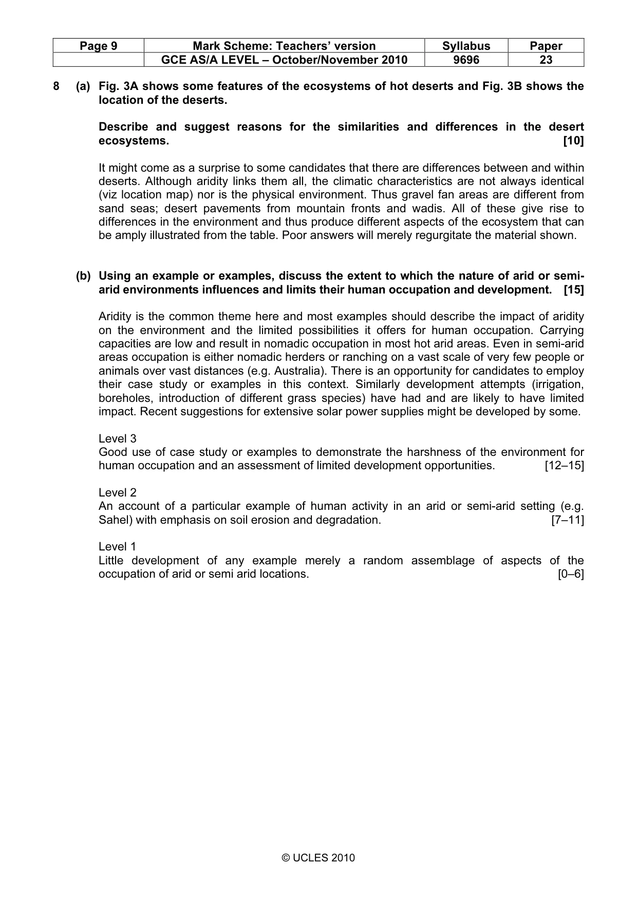
Page 9 Mark Scheme: Teachers’ version Syllabus Paper GCE AS/A LEVEL – October/November 2010 9696 23 © UCLES 2010 8 (a) Fig. 3A shows some features of the ecosystems of hot deserts and Fig. 3B shows the location of the deserts. Describe and suggest reasons for the similarities and differences in the desert ecosystems. [10] It might come as a surprise to some candidates that there are differences between and within deserts. Although aridity links them all, the climatic characteristics are not always identical (viz location map) nor is the physical environment. Thus gravel fan areas are different from sand seas; desert pavements from mountain fronts and wadis. All of these give rise to differences in the environment and thus produce different aspects of the ecosystem that can be amply illustrated from the table. Poor answers will merely regurgitate the material shown. (b) Using an example or examples, discuss the extent to which the nature of arid or semi- arid environments influences and limits their human occupation and development. [15] Aridity is the common theme here and most examples should describe the impact of aridity on the environment and the limited possibilities it offers for human occupation. Carrying capacities are low and result in nomadic occupation in most hot arid areas. Even in semi-arid areas occupation is either nomadic herders or ranching on a vast scale of very few people or animals over vast distances (e.g. Australia). There is an opportunity for candidates to employ their case study or examples in this context. Similarly development attempts (irrigation, boreholes, introduction of different grass species) have had and are likely to have limited impact. Recent suggestions for extensive solar power supplies might be developed by some. Level 3 Good use of case study or examples to demonstrate the harshness of the environment for human occupation and an assessment of limited development opportunities. [12–15] Level 2 An account of a particular example of human activity in an arid or semi-arid setting (e.g. Sahel) with emphasis on soil erosion and degradation. [7–11] Level 1 Little development of any example merely a random assemblage of aspects of the occupation of arid or semi arid locations. [0–6]
What you needed in this session
Cambridge’s own grade thresholds for 2010 Oct/Nov, Paper 2 · Variant 3. A higher threshold means an easier paper — the bar moves with how the cohort did.