Cambridge A Level Geography 9696 — 2025 May/June Paper 1 · Variant 3
9696/13/M/J/25 · 60 marks · ≈68 min
The question paper and its mark scheme, free to read here and free to download. This is Cambridge’s own paper, exactly as it was sat.
Question paper4 pages

Mark scheme17 pages
Answers below. Sit the paper first if you are practising.

Paper as text
Question paper, page 1
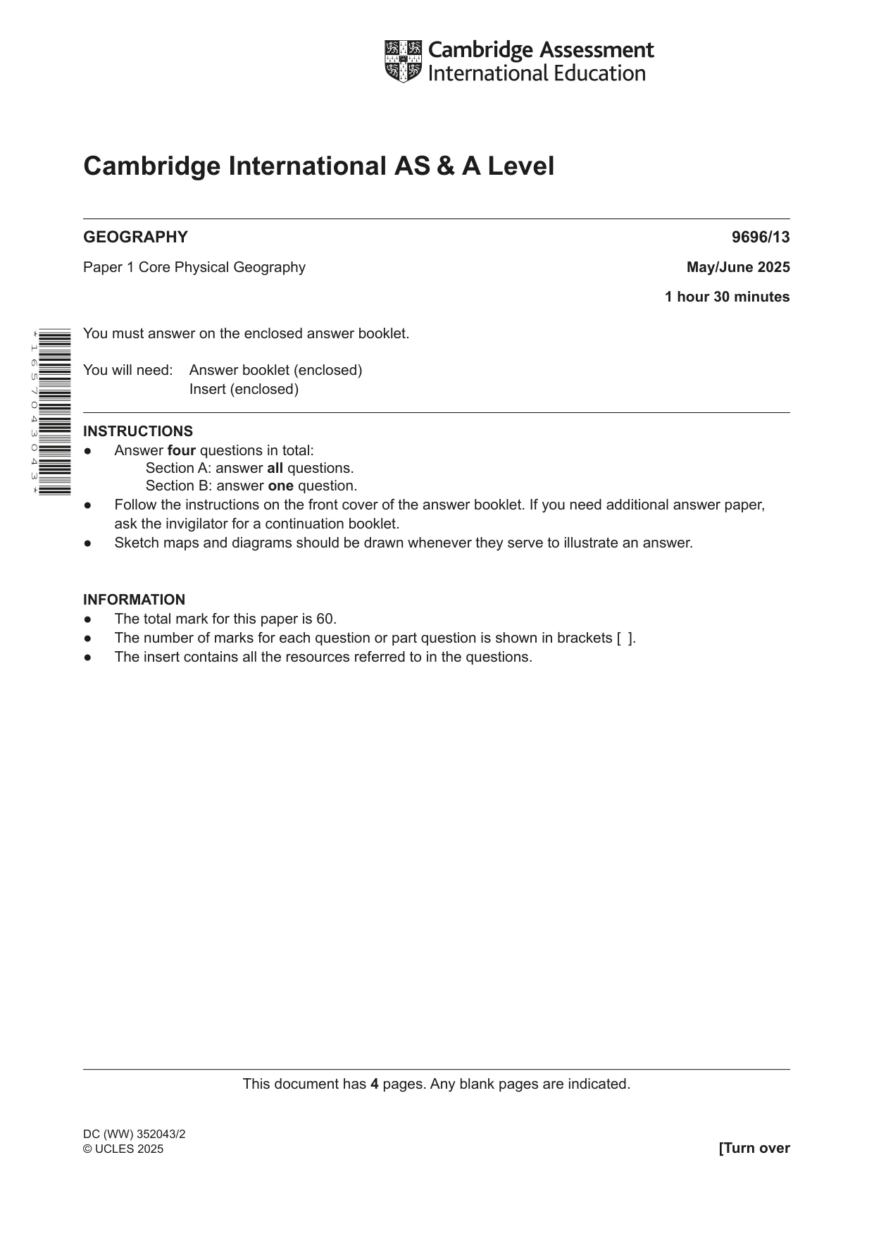
This document has 4 pages. Any blank pages are indicated. [Turn over Cambridge International AS & A Level DC (WW) 352043/2 © UCLES 2025 * 1 6 5 7 0 4 3 0 4 3 * GEOGRAPHY 9696/13 Paper 1 Core Physical Geography May/June 2025 1 hour 30 minutes You must answer on the enclosed answer booklet. You will need: Answer booklet (enclosed) Insert (enclosed) INSTRUCTIONS ● Answer four questions in total: Section A: answer all questions. Section B: answer one question. ● Follow the instructions on the front cover of the answer booklet. If you need additional answer paper, ask the invigilator for a continuation booklet. ● Sketch maps and diagrams should be drawn whenever they serve to illustrate an answer. INFORMATION ● The total mark for this paper is 60. ● The number of marks for each question or part question is shown in brackets [ ]. ● The insert contains all the resources referred to in the questions.
Question paper, page 2
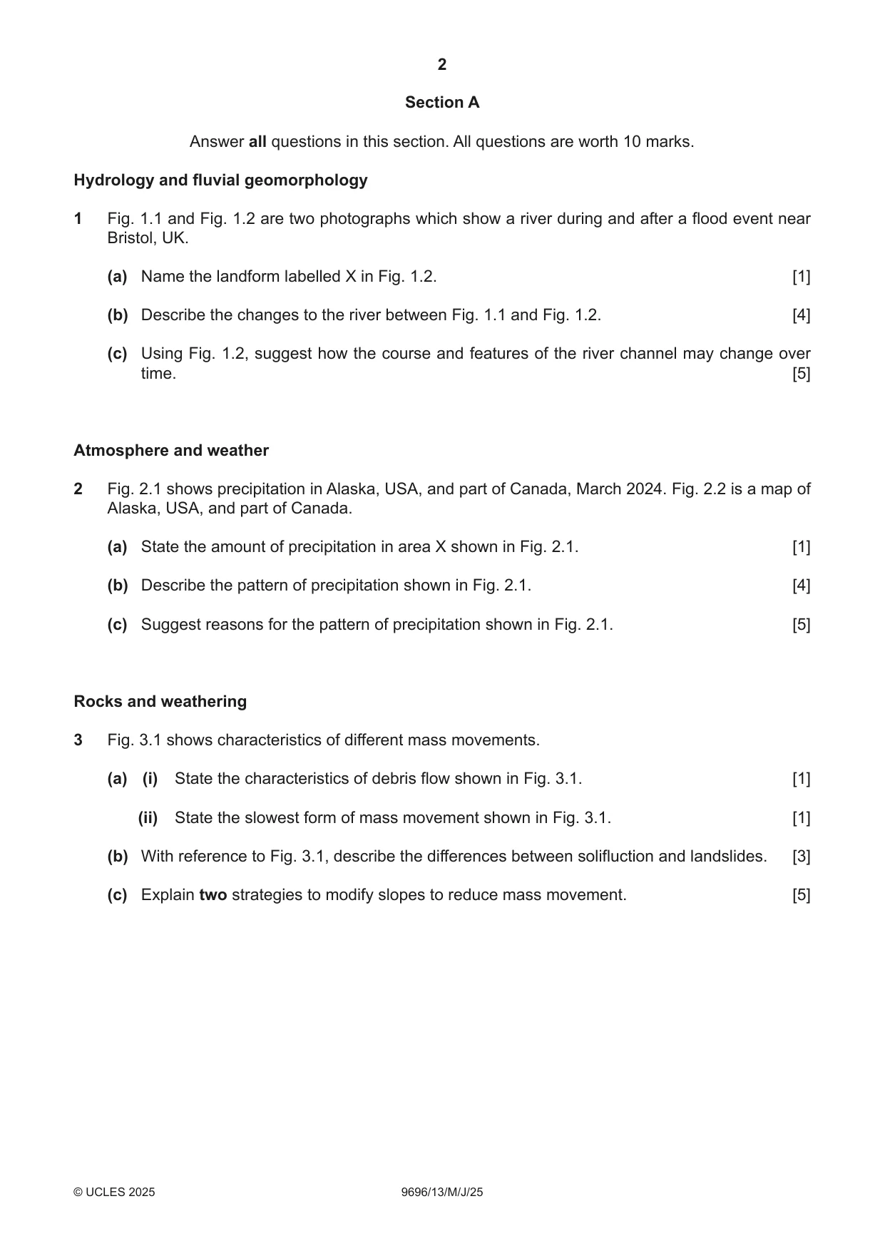
2 9696/13/M/J/25 © UCLES 2025 Section A Answer all questions in this section. All questions are worth 10 marks. Hydrology and fluvial geomorphology 1 Fig. 1.1 and Fig. 1.2 are two photographs which show a river during and after a flood event near Bristol, UK. (a) Name the landform labelled X in Fig. 1.2. [1] (b) Describe the changes to the river between Fig. 1.1 and Fig. 1.2. [4] (c) Using Fig. 1.2, suggest how the course and features of the river channel may change over time. [5] Atmosphere and weather 2 Fig. 2.1 shows precipitation in Alaska, USA, and part of Canada, March 2024. Fig. 2.2 is a map of Alaska, USA, and part of Canada. (a) State the amount of precipitation in area X shown in Fig. 2.1. [1] (b) Describe the pattern of precipitation shown in Fig. 2.1. [4] (c) Suggest reasons for the pattern of precipitation shown in Fig. 2.1. [5] Rocks and weathering 3 Fig. 3.1 shows characteristics of different mass movements. (a) (i) State the characteristics of debris flow shown in Fig. 3.1. [1] (ii) State the slowest form of mass movement shown in Fig. 3.1. [1] (b) With reference to Fig. 3.1, describe the differences between solifluction and landslides. [3] (c) Explain two strategies to modify slopes to reduce mass movement. [5]
Question paper, page 3
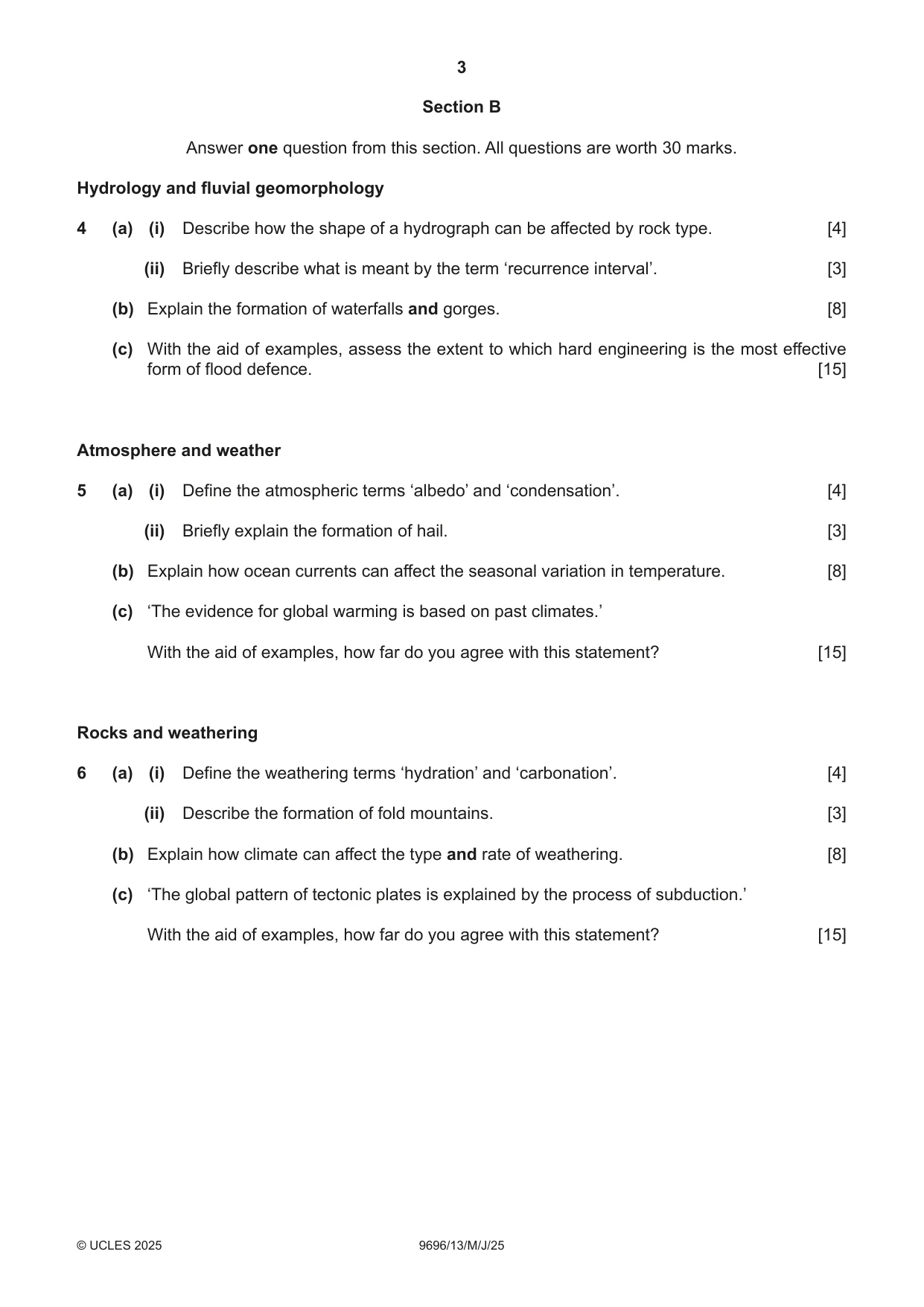
3 9696/13/M/J/25 © UCLES 2025 Section B Answer one question from this section. All questions are worth 30 marks. Hydrology and fluvial geomorphology 4 (a) (i) Describe how the shape of a hydrograph can be affected by rock type. [4] (ii) Briefly describe what is meant by the term ‘recurrence interval’. [3] (b) Explain the formation of waterfalls and gorges. [8] (c) With the aid of examples, assess the extent to which hard engineering is the most effective form of flood defence. [15] Atmosphere and weather 5 (a) (i) Define the atmospheric terms ‘albedo’ and ‘condensation’. [4] (ii) Briefly explain the formation of hail. [3] (b) Explain how ocean currents can affect the seasonal variation in temperature. [8] (c) ‘The evidence for global warming is based on past climates.’ With the aid of examples, how far do you agree with this statement? [15] Rocks and weathering 6 (a) (i) Define the weathering terms ‘hydration’ and ‘carbonation’. [4] (ii) Describe the formation of fold mountains. [3] (b) Explain how climate can affect the type and rate of weathering. [8] (c) ‘The global pattern of tectonic plates is explained by the process of subduction.’ With the aid of examples, how far do you agree with this statement? [15]
Question paper, page 4
4 9696/13/M/J/25 © UCLES 2025 The boundaries and names shown, the designations used and the presentation of material on any maps contained in this question paper/insert do not imply official endorsement or acceptance by Cambridge Assessment International Education concerning the legal status of any country, territory, or area or any of its authorities, or of the delimitation of its frontiers or boundaries. Permission to reproduce items where third-party owned material protected by copyright is included has been sought and cleared where possible. Every reasonable effort has been made by the publisher (UCLES) to trace copyright holders, but if any items requiring clearance have unwittingly been included, the publisher will be pleased to make amends at the earliest possible opportunity. To avoid the issue of disclosure of answer-related information to candidates, all copyright acknowledgements are reproduced online in the Cambridge Assessment International Education Copyright Acknowledgements Booklet. This is produced for each series of examinations and is freely available to download at www.cambridgeinternational.org after the live examination series. Cambridge Assessment International Education is part of Cambridge Assessment. Cambridge Assessment is the brand name of the University of Cambridge Local Examinations Syndicate (UCLES), which is a department of the University of Cambridge. BLANK PAGE
Mark scheme, page 1
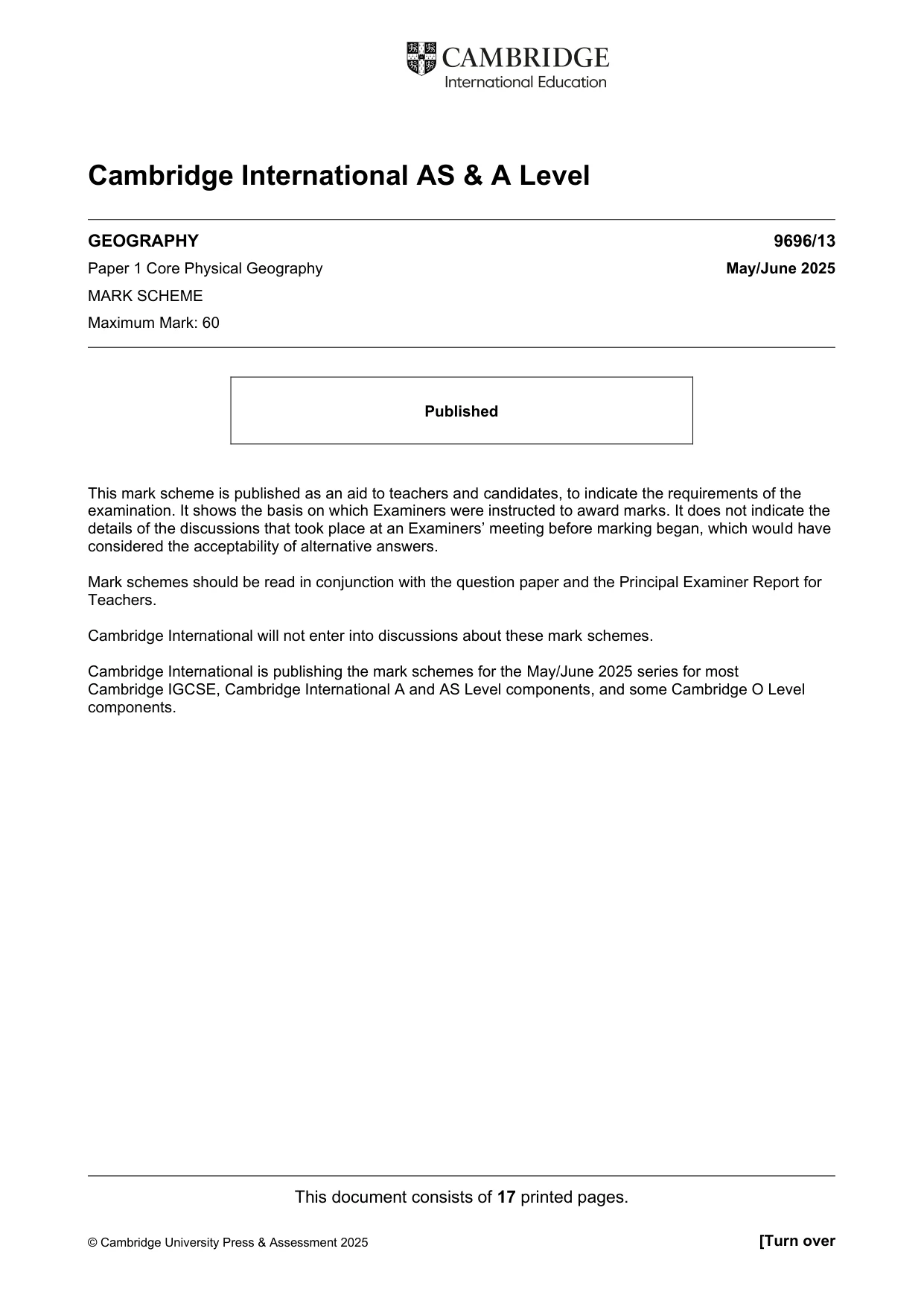
This document consists of 17 printed pages. © Cambridge University Press & Assessment 2025 [Turn over Cambridge International AS & A Level GEOGRAPHY 9696/13 Paper 1 Core Physical Geography May/June 2025 MARK SCHEME Maximum Mark: 60 Published This mark scheme is published as an aid to teachers and candidates, to indicate the requirements of the examination. It shows the basis on which Examiners were instructed to award marks. It does not indicate the details of the discussions that took place at an Examiners’ meeting before marking began, which would have considered the acceptability of alternative answers. Mark schemes should be read in conjunction with the question paper and the Principal Examiner Report for Teachers. Cambridge International will not enter into discussions about these mark schemes. Cambridge International is publishing the mark schemes for the May/June 2025 series for most Cambridge IGCSE, Cambridge International A and AS Level components, and some Cambridge O Level components.
Mark scheme, page 2
9696/13 Cambridge International AS & A Level – Mark Scheme PUBLISHED May/June 2025 © Cambridge University Press & Assessment 2025 Page 2 of 17 Generic Marking Principles These general marking principles must be applied by all examiners when marking candidate answers. They should be applied alongside the specific content of the mark scheme or generic level descriptions for a question. Each question paper and mark scheme will also comply with these marking principles. GENERIC MARKING PRINCIPLE 1: Marks must be awarded in line with: • the specific content of the mark scheme or the generic level descriptors for the question • the specific skills defined in the mark scheme or in the generic level descriptors for the question • the standard of response required by a candidate as exemplified by the standardisation scripts. GENERIC MARKING PRINCIPLE 2: Marks awarded are always whole marks (not half marks, or other fractions). GENERIC MARKING PRINCIPLE 3: Marks must be awarded positively: • marks are awarded for correct/valid answers, as defined in the mark scheme. However, credit is given for valid answers which go beyond the scope of the syllabus and mark scheme, referring to your Team Leader as appropriate • marks are awarded when candidates clearly demonstrate what they know and can do • marks are not deducted for errors • marks are not deducted for omissions • answers should only be judged on the quality of spelling, punctuation and grammar when these features are specifically assessed by the question as indicated by the mark scheme. The meaning, however, should be unambiguous. GENERIC MARKING PRINCIPLE 4: Rules must be applied consistently, e.g. in situations where candidates have not followed instructions or in the application of generic level descriptors. GENERIC MARKING PRINCIPLE 5: Marks should be awarded using the full range of marks defined in the mark scheme for the question (however; the use of the full mark range may be limited according to the quality of the candidate responses seen). GENERIC MARKING PRINCIPLE 6: Marks awarded are based solely on the requirements as defined in the mark scheme. Marks should not be awarded with grade thresholds or grade descriptors in mind.
Mark scheme, page 3
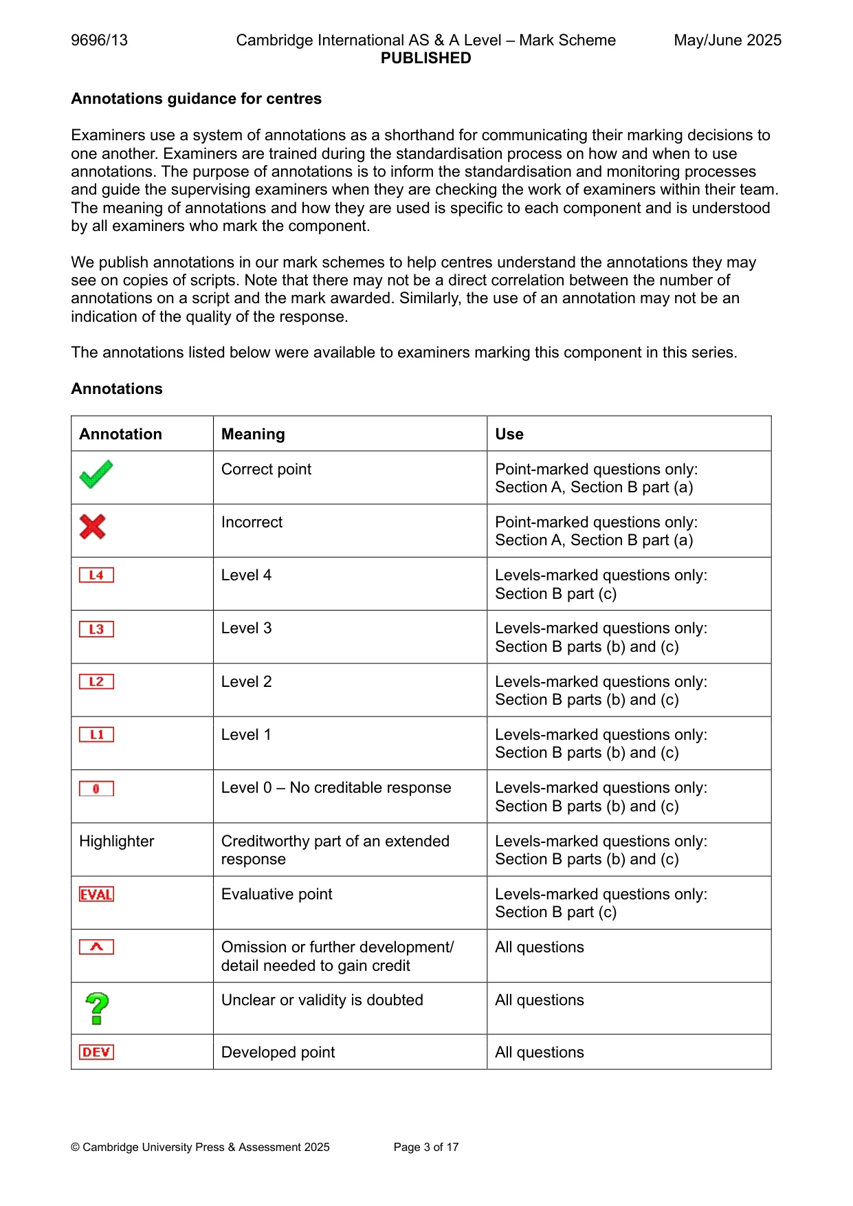
9696/13 Cambridge International AS & A Level – Mark Scheme PUBLISHED May/June 2025 © Cambridge University Press & Assessment 2025 Page 3 of 17 Annotations guidance for centres Examiners use a system of annotations as a shorthand for communicating their marking decisions to one another. Examiners are trained during the standardisation process on how and when to use annotations. The purpose of annotations is to inform the standardisation and monitoring processes and guide the supervising examiners when they are checking the work of examiners within their team. The meaning of annotations and how they are used is specific to each component and is understood by all examiners who mark the component. We publish annotations in our mark schemes to help centres understand the annotations they may see on copies of scripts. Note that there may not be a direct correlation between the number of annotations on a script and the mark awarded. Similarly, the use of an annotation may not be an indication of the quality of the response. The annotations listed below were available to examiners marking this component in this series. Annotations Annotation Meaning Use Correct point Point-marked questions only: Section A, Section B part (a) Incorrect Point-marked questions only: Section A, Section B part (a) Level 4 Levels-marked questions only: Section B part (c) Level 3 Levels-marked questions only: Section B parts (b) and (c) Level 2 Levels-marked questions only: Section B parts (b) and (c) Level 1 Levels-marked questions only: Section B parts (b) and (c) Level 0 – No creditable response Levels-marked questions only: Section B parts (b) and (c) Highlighter Creditworthy part of an extended response Levels-marked questions only: Section B parts (b) and (c) Evaluative point Levels-marked questions only: Section B part (c) Omission or further development/ detail needed to gain credit All questions Unclear or validity is doubted All questions Developed point All questions
Mark scheme, page 4
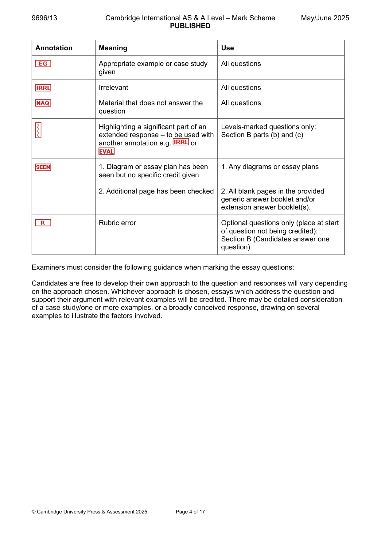
9696/13 Cambridge International AS & A Level – Mark Scheme PUBLISHED May/June 2025 © Cambridge University Press & Assessment 2025 Page 4 of 17 Annotation Meaning Use Appropriate example or case study given All questions Irrelevant All questions Material that does not answer the question All questions Highlighting a significant part of an extended response – to be used with another annotation e.g. or Levels-marked questions only: Section B parts (b) and (c) 1. Diagram or essay plan has been seen but no specific credit given 2. Additional page has been checked 1. Any diagrams or essay plans 2. All blank pages in the provided generic answer booklet and/or extension answer booklet(s). Rubric error Optional questions only (place at start of question not being credited): Section B (Candidates answer one question) Examiners must consider the following guidance when marking the essay questions: Candidates are free to develop their own approach to the question and responses will vary depending on the approach chosen. Whichever approach is chosen, essays which address the question and support their argument with relevant examples will be credited. There may be detailed consideration of a case study/one or more examples, or a broadly conceived response, drawing on several examples to illustrate the factors involved.
Mark scheme, page 5
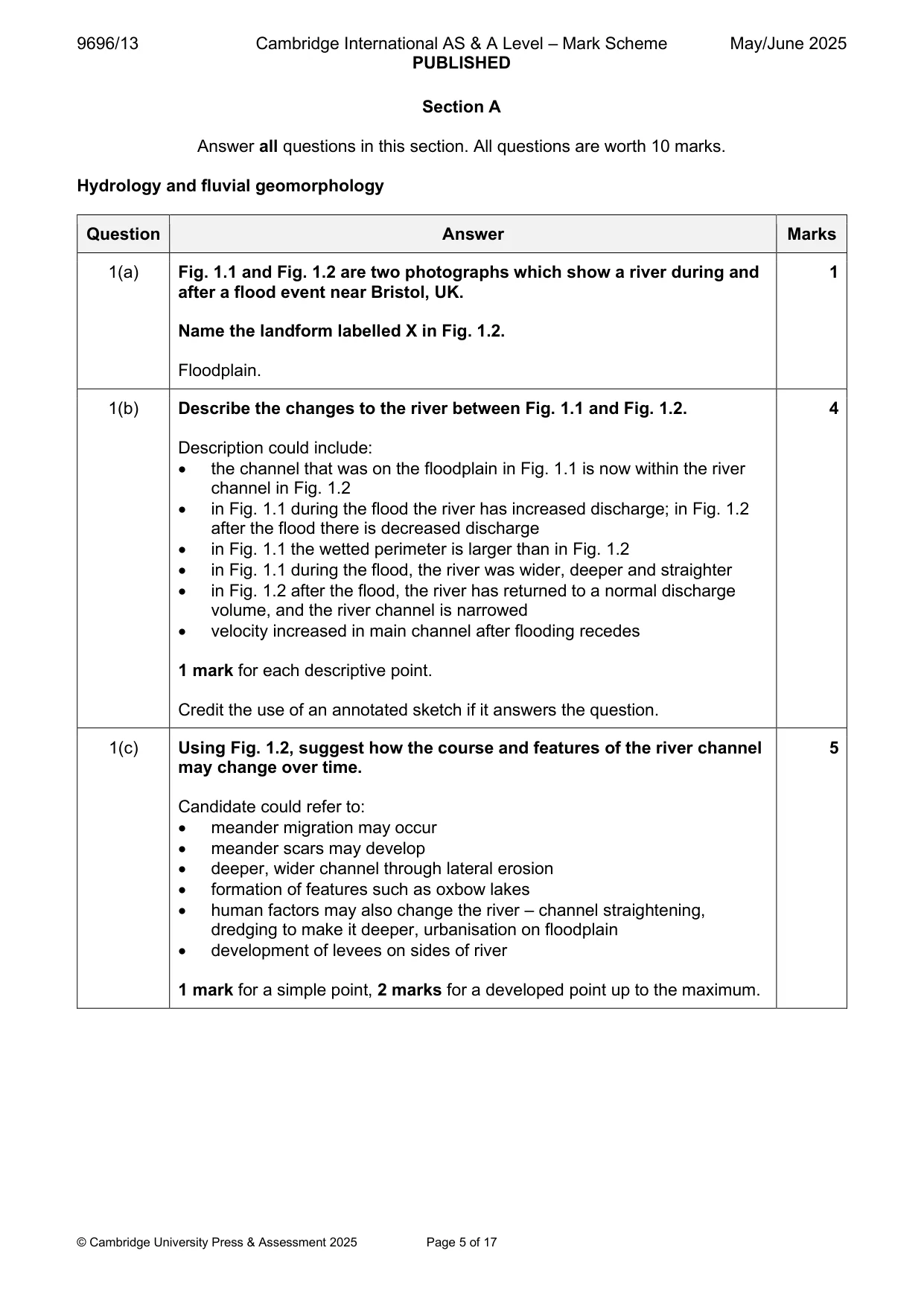
9696/13 Cambridge International AS & A Level – Mark Scheme PUBLISHED May/June 2025 © Cambridge University Press & Assessment 2025 Page 5 of 17 Section A Answer all questions in this section. All questions are worth 10 marks. Hydrology and fluvial geomorphology Question Answer Marks 1(a) Fig. 1.1 and Fig. 1.2 are two photographs which show a river during and after a flood event near Bristol, UK. Name the landform labelled X in Fig. 1.2. Floodplain. 1 1(b) Describe the changes to the river between Fig. 1.1 and Fig. 1.2. Description could include: • the channel that was on the floodplain in Fig. 1.1 is now within the river channel in Fig. 1.2 • in Fig. 1.1 during the flood the river has increased discharge; in Fig. 1.2 after the flood there is decreased discharge • in Fig. 1.1 the wetted perimeter is larger than in Fig. 1.2 • in Fig. 1.1 during the flood, the river was wider, deeper and straighter • in Fig. 1.2 after the flood, the river has returned to a normal discharge volume, and the river channel is narrowed • velocity increased in main channel after flooding recedes 1 mark for each descriptive point. Credit the use of an annotated sketch if it answers the question. 4 1(c) Using Fig. 1.2, suggest how the course and features of the river channel may change over time. Candidate could refer to: • meander migration may occur • meander scars may develop • deeper, wider channel through lateral erosion • formation of features such as oxbow lakes • human factors may also change the river – channel straightening, dredging to make it deeper, urbanisation on floodplain • development of levees on sides of river 1 mark for a simple point, 2 marks for a developed point up to the maximum. 5
Mark scheme, page 6
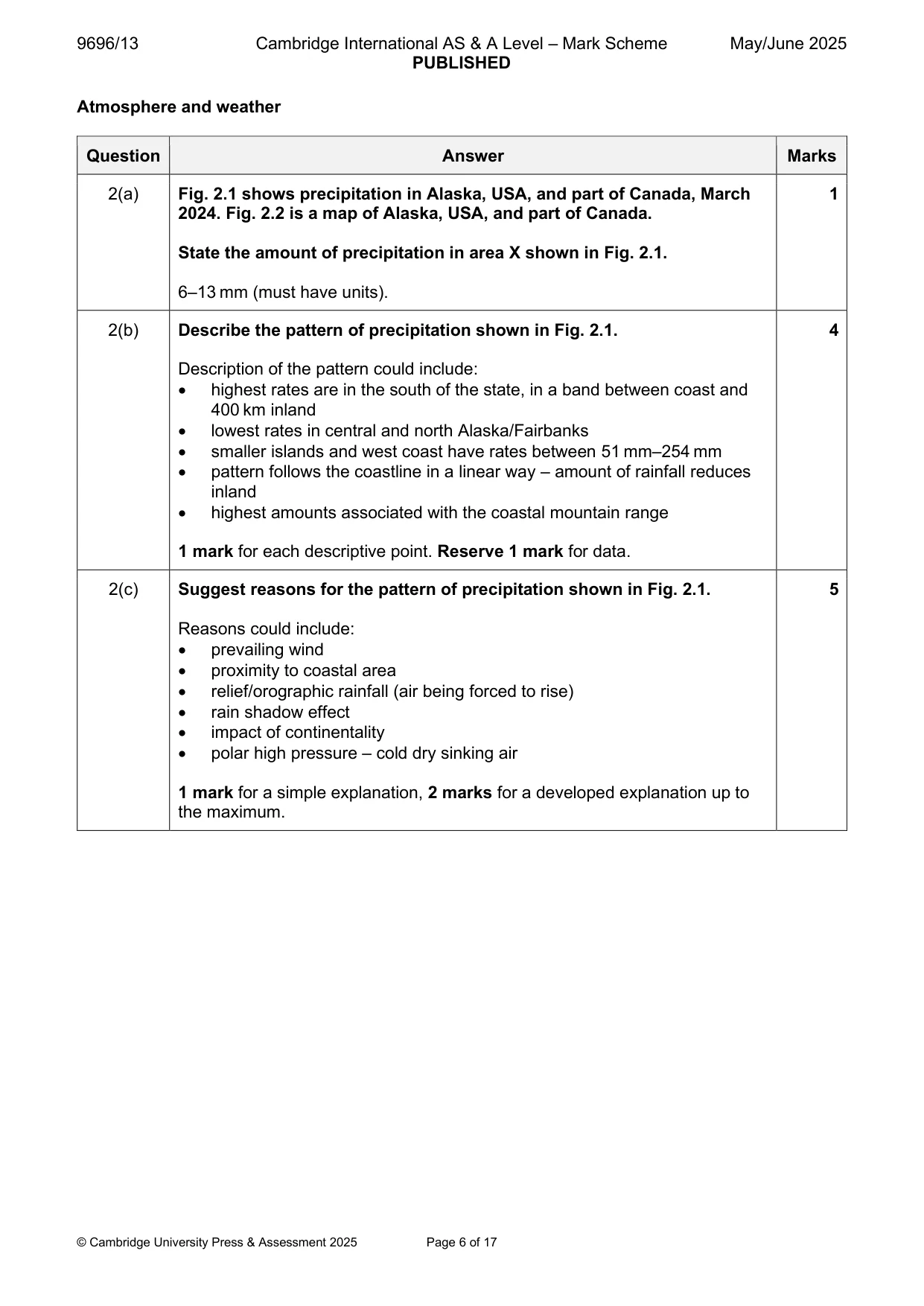
9696/13 Cambridge International AS & A Level – Mark Scheme PUBLISHED May/June 2025 © Cambridge University Press & Assessment 2025 Page 6 of 17 Atmosphere and weather Question Answer Marks 2(a) Fig. 2.1 shows precipitation in Alaska, USA, and part of Canada, March 2024. Fig. 2.2 is a map of Alaska, USA, and part of Canada. State the amount of precipitation in area X shown in Fig. 2.1. 6–13 mm (must have units). 1 2(b) Describe the pattern of precipitation shown in Fig. 2.1. Description of the pattern could include: • highest rates are in the south of the state, in a band between coast and 400 km inland • lowest rates in central and north Alaska/Fairbanks • smaller islands and west coast have rates between 51 mm–254 mm • pattern follows the coastline in a linear way – amount of rainfall reduces inland • highest amounts associated with the coastal mountain range 1 mark for each descriptive point. Reserve 1 mark for data. 4 2(c) Suggest reasons for the pattern of precipitation shown in Fig. 2.1. Reasons could include: • prevailing wind • proximity to coastal area • relief/orographic rainfall (air being forced to rise) • rain shadow effect • impact of continentality • polar high pressure – cold dry sinking air 1 mark for a simple explanation, 2 marks for a developed explanation up to the maximum. 5
Mark scheme, page 7
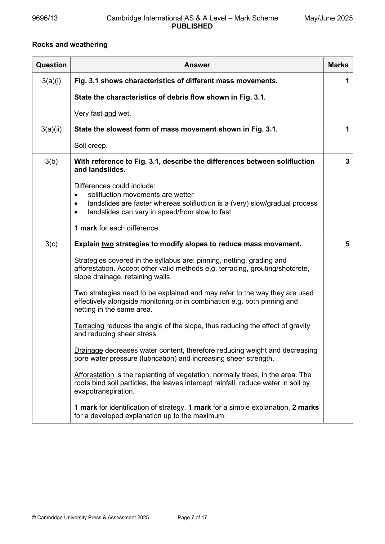
9696/13 Cambridge International AS & A Level – Mark Scheme PUBLISHED May/June 2025 © Cambridge University Press & Assessment 2025 Page 7 of 17 Rocks and weathering Question Answer Marks 3(a)(i) Fig. 3.1 shows characteristics of different mass movements. State the characteristics of debris flow shown in Fig. 3.1. Very fast and wet. 1 3(a)(ii) State the slowest form of mass movement shown in Fig. 3.1. Soil creep. 1 3(b) With reference to Fig. 3.1, describe the differences between solifluction and landslides. Differences could include: • solifluction movements are wetter • landslides are faster whereas solifluction is a (very) slow/gradual process • landslides can vary in speed/from slow to fast 1 mark for each difference. 3 3(c) Explain two strategies to modify slopes to reduce mass movement. Strategies covered in the syllabus are: pinning, netting, grading and afforestation. Accept other valid methods e.g. terracing, grouting/shotcrete, slope drainage, retaining walls. Two strategies need to be explained and may refer to the way they are used effectively alongside monitoring or in combination e.g. both pinning and netting in the same area. Terracing reduces the angle of the slope, thus reducing the effect of gravity and reducing shear stress. Drainage decreases water content, therefore reducing weight and decreasing pore water pressure (lubrication) and increasing sheer strength. Afforestation is the replanting of vegetation, normally trees, in the area. The roots bind soil particles, the leaves intercept rainfall, reduce water in soil by evapotranspiration. 1 mark for identification of strategy. 1 mark for a simple explanation, 2 marks for a developed explanation up to the maximum. 5
Mark scheme, page 8
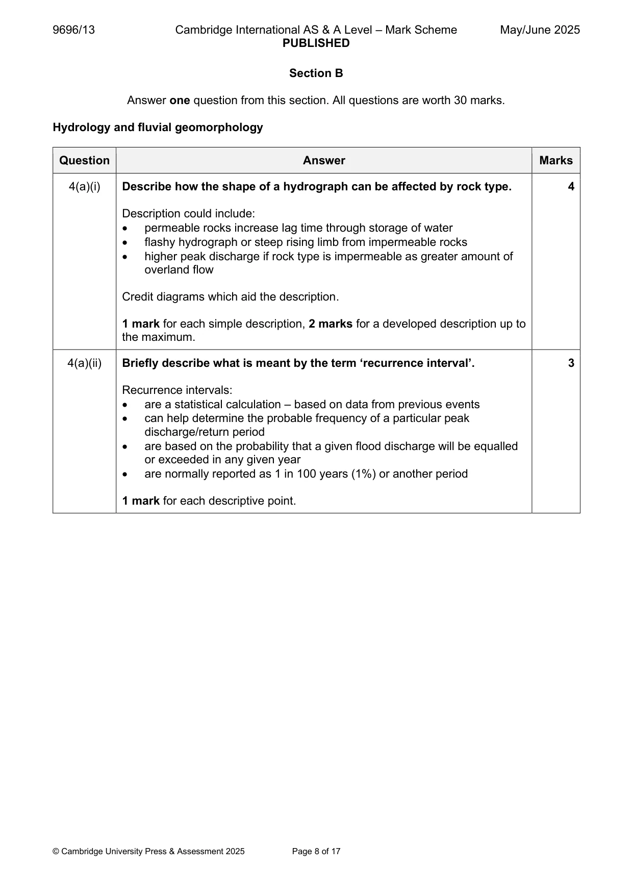
9696/13 Cambridge International AS & A Level – Mark Scheme PUBLISHED May/June 2025 © Cambridge University Press & Assessment 2025 Page 8 of 17 Section B Answer one question from this section. All questions are worth 30 marks. Hydrology and fluvial geomorphology Question Answer Marks 4(a)(i) Describe how the shape of a hydrograph can be affected by rock type. Description could include: • permeable rocks increase lag time through storage of water • flashy hydrograph or steep rising limb from impermeable rocks • higher peak discharge if rock type is impermeable as greater amount of overland flow Credit diagrams which aid the description. 1 mark for each simple description, 2 marks for a developed description up to the maximum. 4 4(a)(ii) Briefly describe what is meant by the term ‘recurrence interval’. Recurrence intervals: • are a statistical calculation – based on data from previous events • can help determine the probable frequency of a particular peak discharge/return period • are based on the probability that a given flood discharge will be equalled or exceeded in any given year • are normally reported as 1 in 100 years (1%) or another period 1 mark for each descriptive point. 3
Mark scheme, page 9
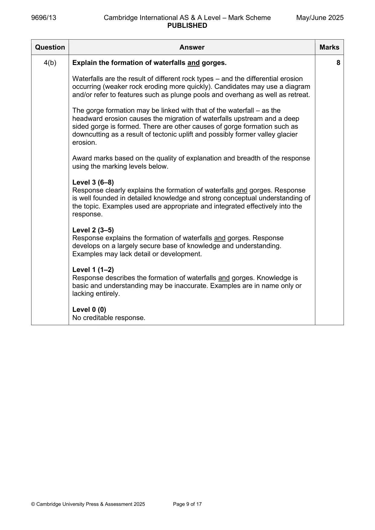
9696/13 Cambridge International AS & A Level – Mark Scheme PUBLISHED May/June 2025 © Cambridge University Press & Assessment 2025 Page 9 of 17 Question Answer Marks 4(b) Explain the formation of waterfalls and gorges. Waterfalls are the result of different rock types – and the differential erosion occurring (weaker rock eroding more quickly). Candidates may use a diagram and/or refer to features such as plunge pools and overhang as well as retreat. The gorge formation may be linked with that of the waterfall – as the headward erosion causes the migration of waterfalls upstream and a deep sided gorge is formed. There are other causes of gorge formation such as downcutting as a result of tectonic uplift and possibly former valley glacier erosion. Award marks based on the quality of explanation and breadth of the response using the marking levels below. Level 3 (6–8) Response clearly explains the formation of waterfalls and gorges. Response is well founded in detailed knowledge and strong conceptual understanding of the topic. Examples used are appropriate and integrated effectively into the response. Level 2 (3–5) Response explains the formation of waterfalls and gorges. Response develops on a largely secure base of knowledge and understanding. Examples may lack detail or development. Level 1 (1–2) Response describes the formation of waterfalls and gorges. Knowledge is basic and understanding may be inaccurate. Examples are in name only or lacking entirely. Level 0 (0) No creditable response. 8
Mark scheme, page 10
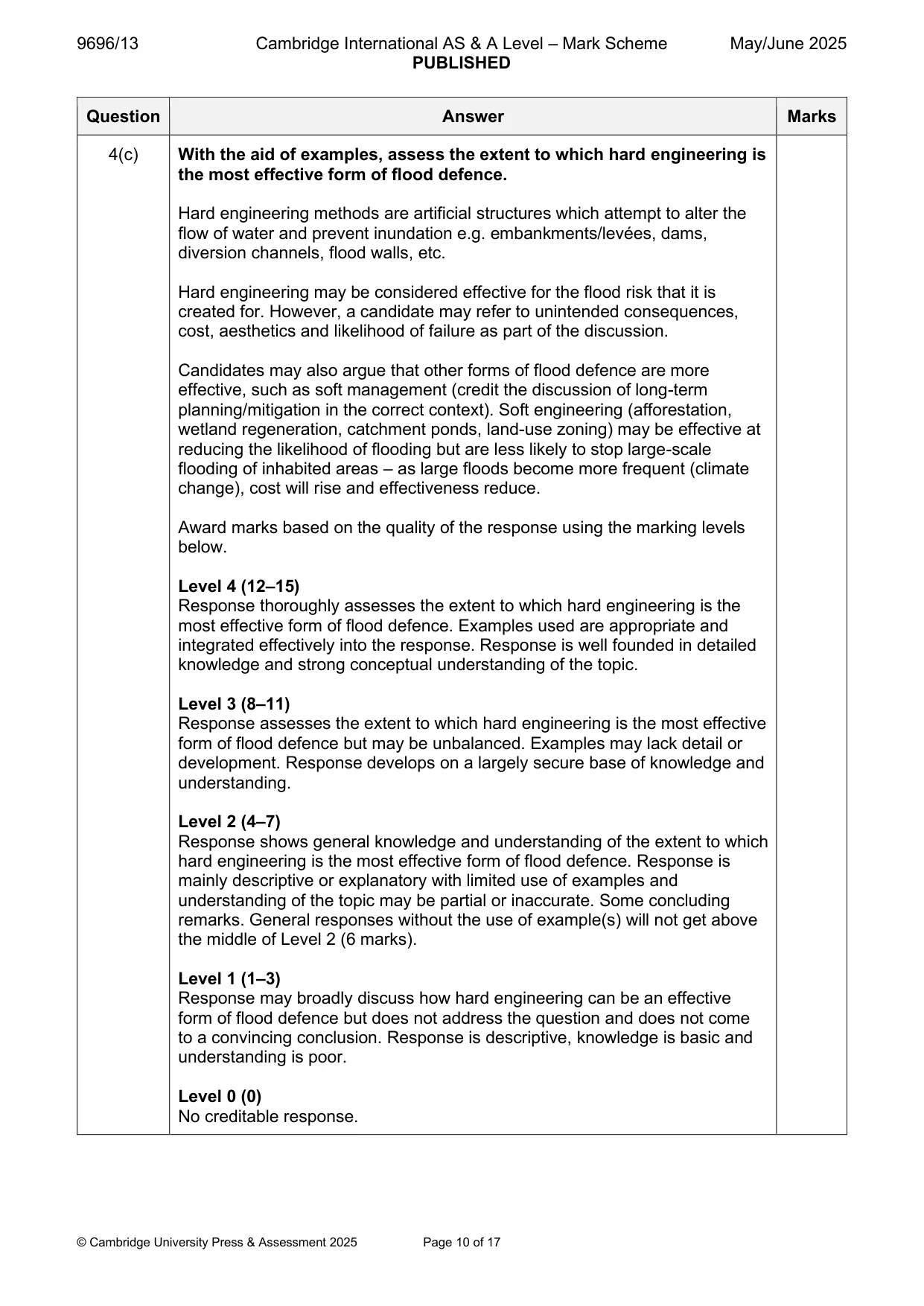
9696/13 Cambridge International AS & A Level – Mark Scheme PUBLISHED May/June 2025 © Cambridge University Press & Assessment 2025 Page 10 of 17 Question Answer Marks 4(c) With the aid of examples, assess the extent to which hard engineering is the most effective form of flood defence. Hard engineering methods are artificial structures which attempt to alter the flow of water and prevent inundation e.g. embankments/levées, dams, diversion channels, flood walls, etc. Hard engineering may be considered effective for the flood risk that it is created for. However, a candidate may refer to unintended consequences, cost, aesthetics and likelihood of failure as part of the discussion. Candidates may also argue that other forms of flood defence are more effective, such as soft management (credit the discussion of long-term planning/mitigation in the correct context). Soft engineering (afforestation, wetland regeneration, catchment ponds, land-use zoning) may be effective at reducing the likelihood of flooding but are less likely to stop large-scale flooding of inhabited areas – as large floods become more frequent (climate change), cost will rise and effectiveness reduce. Award marks based on the quality of the response using the marking levels below. Level 4 (12–15) Response thoroughly assesses the extent to which hard engineering is the most effective form of flood defence. Examples used are appropriate and integrated effectively into the response. Response is well founded in detailed knowledge and strong conceptual understanding of the topic. Level 3 (8–11) Response assesses the extent to which hard engineering is the most effective form of flood defence but may be unbalanced. Examples may lack detail or development. Response develops on a largely secure base of knowledge and understanding. Level 2 (4–7) Response shows general knowledge and understanding of the extent to which hard engineering is the most effective form of flood defence. Response is mainly descriptive or explanatory with limited use of examples and understanding of the topic may be partial or inaccurate. Some concluding remarks. General responses without the use of example(s) will not get above the middle of Level 2 (6 marks). Level 1 (1–3) Response may broadly discuss how hard engineering can be an effective form of flood defence but does not address the question and does not come to a convincing conclusion. Response is descriptive, knowledge is basic and understanding is poor. Level 0 (0) No creditable response.
Mark scheme, page 11
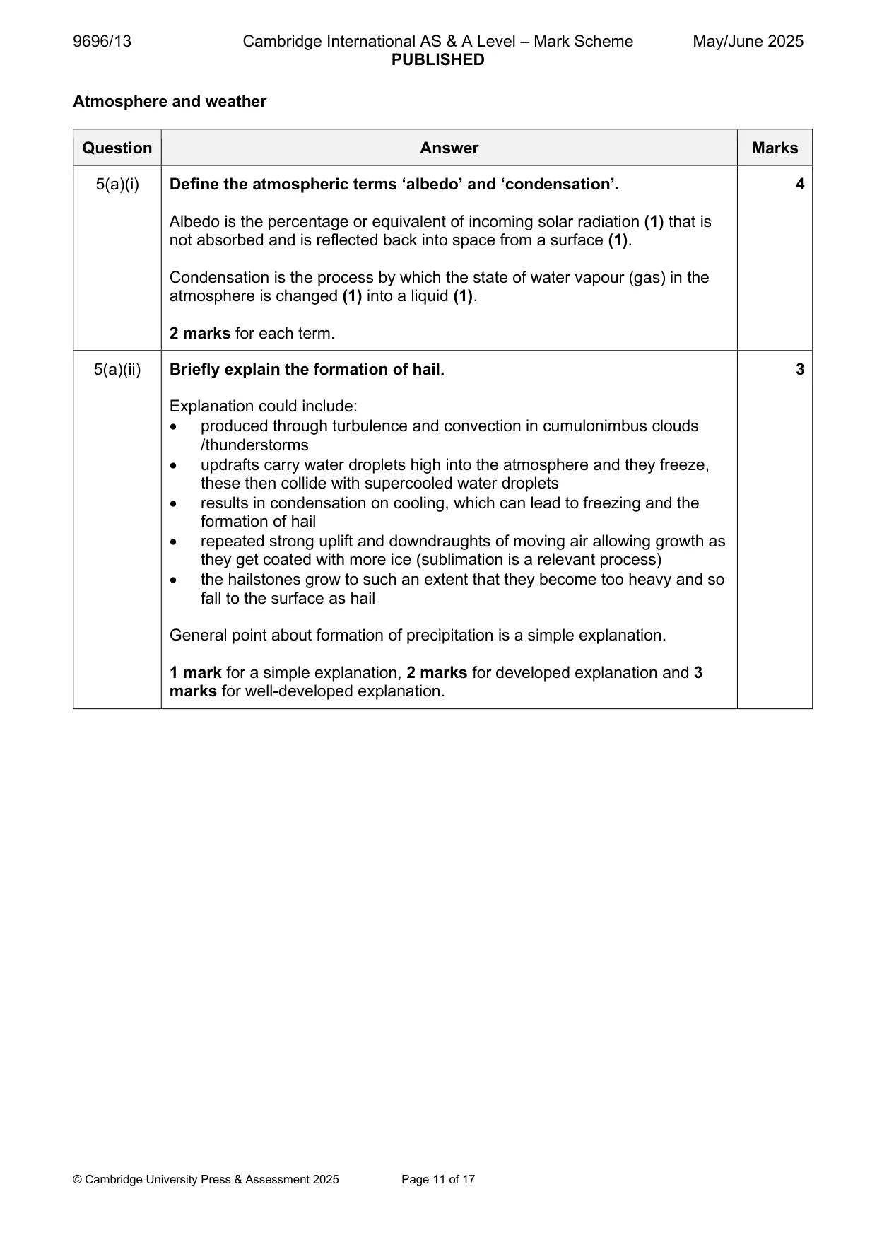
9696/13 Cambridge International AS & A Level – Mark Scheme PUBLISHED May/June 2025 © Cambridge University Press & Assessment 2025 Page 11 of 17 Atmosphere and weather Question Answer Marks 5(a)(i) Define the atmospheric terms ‘albedo’ and ‘condensation’. Albedo is the percentage or equivalent of incoming solar radiation (1) that is not absorbed and is reflected back into space from a surface (1). Condensation is the process by which the state of water vapour (gas) in the atmosphere is changed (1) into a liquid (1). 2 marks for each term. 4 5(a)(ii) Briefly explain the formation of hail. Explanation could include: • produced through turbulence and convection in cumulonimbus clouds /thunderstorms • updrafts carry water droplets high into the atmosphere and they freeze, these then collide with supercooled water droplets • results in condensation on cooling, which can lead to freezing and the formation of hail • repeated strong uplift and downdraughts of moving air allowing growth as they get coated with more ice (sublimation is a relevant process) • the hailstones grow to such an extent that they become too heavy and so fall to the surface as hail General point about formation of precipitation is a simple explanation. 1 mark for a simple explanation, 2 marks for developed explanation and 3 marks for well-developed explanation. 3
Mark scheme, page 12
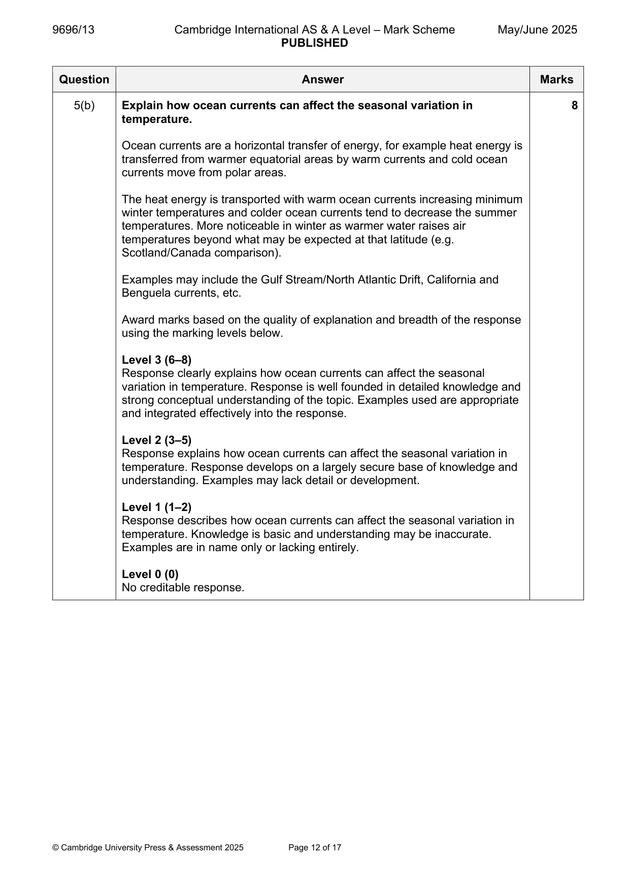
9696/13 Cambridge International AS & A Level – Mark Scheme PUBLISHED May/June 2025 © Cambridge University Press & Assessment 2025 Page 12 of 17 Question Answer Marks 5(b) Explain how ocean currents can affect the seasonal variation in temperature. Ocean currents are a horizontal transfer of energy, for example heat energy is transferred from warmer equatorial areas by warm currents and cold ocean currents move from polar areas. The heat energy is transported with warm ocean currents increasing minimum winter temperatures and colder ocean currents tend to decrease the summer temperatures. More noticeable in winter as warmer water raises air temperatures beyond what may be expected at that latitude (e.g. Scotland/Canada comparison). Examples may include the Gulf Stream/North Atlantic Drift, California and Benguela currents, etc. Award marks based on the quality of explanation and breadth of the response using the marking levels below. Level 3 (6–8) Response clearly explains how ocean currents can affect the seasonal variation in temperature. Response is well founded in detailed knowledge and strong conceptual understanding of the topic. Examples used are appropriate and integrated effectively into the response. Level 2 (3–5) Response explains how ocean currents can affect the seasonal variation in temperature. Response develops on a largely secure base of knowledge and understanding. Examples may lack detail or development. Level 1 (1–2) Response describes how ocean currents can affect the seasonal variation in temperature. Knowledge is basic and understanding may be inaccurate. Examples are in name only or lacking entirely. Level 0 (0) No creditable response. 8
Mark scheme, page 13
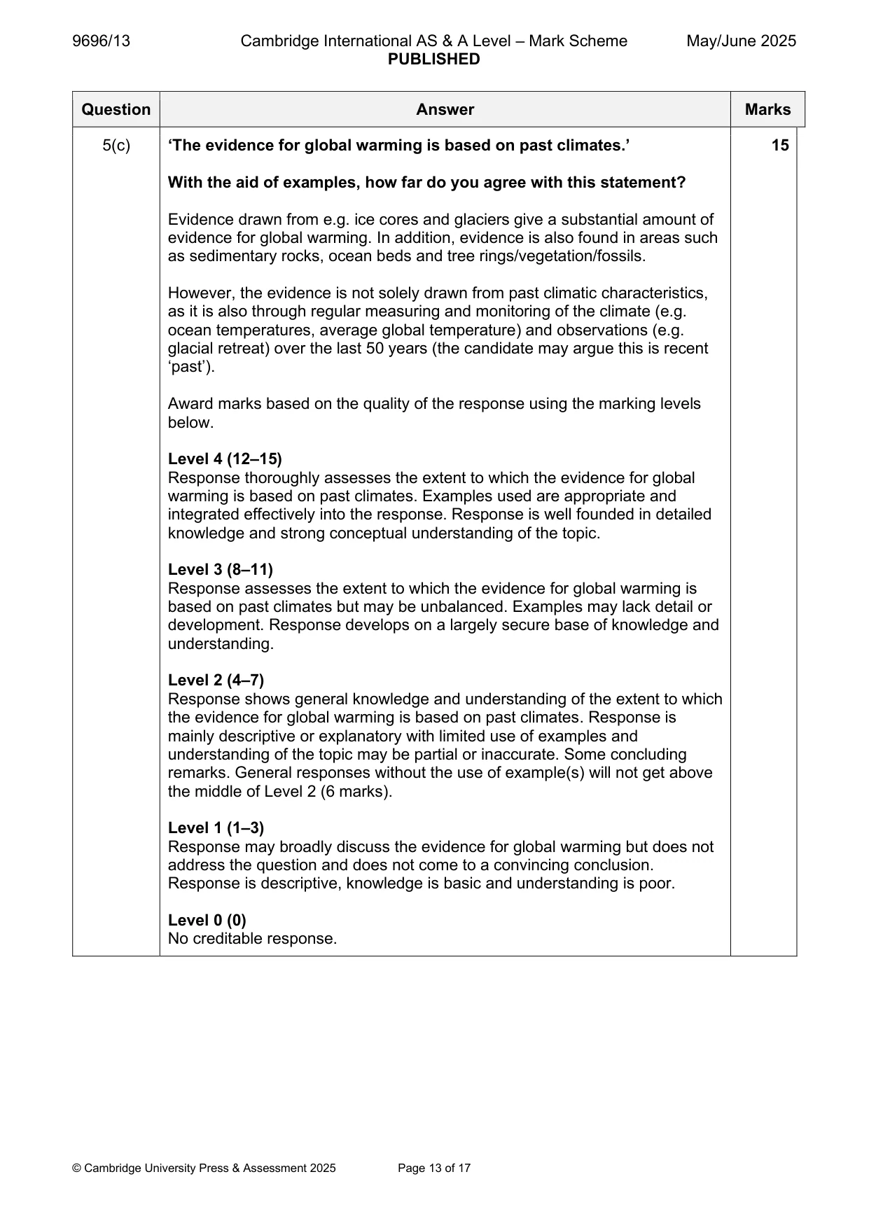
9696/13 Cambridge International AS & A Level – Mark Scheme PUBLISHED May/June 2025 © Cambridge University Press & Assessment 2025 Page 13 of 17 Question Answer Marks 5(c) ‘The evidence for global warming is based on past climates.’ With the aid of examples, how far do you agree with this statement? Evidence drawn from e.g. ice cores and glaciers give a substantial amount of evidence for global warming. In addition, evidence is also found in areas such as sedimentary rocks, ocean beds and tree rings/vegetation/fossils. However, the evidence is not solely drawn from past climatic characteristics, as it is also through regular measuring and monitoring of the climate (e.g. ocean temperatures, average global temperature) and observations (e.g. glacial retreat) over the last 50 years (the candidate may argue this is recent ‘past’). Award marks based on the quality of the response using the marking levels below. Level 4 (12–15) Response thoroughly assesses the extent to which the evidence for global warming is based on past climates. Examples used are appropriate and integrated effectively into the response. Response is well founded in detailed knowledge and strong conceptual understanding of the topic. Level 3 (8–11) Response assesses the extent to which the evidence for global warming is based on past climates but may be unbalanced. Examples may lack detail or development. Response develops on a largely secure base of knowledge and understanding. Level 2 (4–7) Response shows general knowledge and understanding of the extent to which the evidence for global warming is based on past climates. Response is mainly descriptive or explanatory with limited use of examples and understanding of the topic may be partial or inaccurate. Some concluding remarks. General responses without the use of example(s) will not get above the middle of Level 2 (6 marks). Level 1 (1–3) Response may broadly discuss the evidence for global warming but does not address the question and does not come to a convincing conclusion. Response is descriptive, knowledge is basic and understanding is poor. Level 0 (0) No creditable response. 15
Mark scheme, page 14
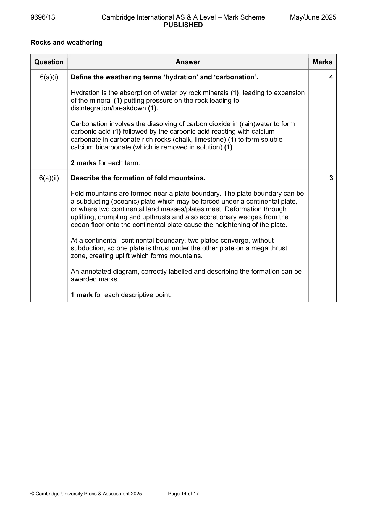
9696/13 Cambridge International AS & A Level – Mark Scheme PUBLISHED May/June 2025 © Cambridge University Press & Assessment 2025 Page 14 of 17 Rocks and weathering Question Answer Marks 6(a)(i) Define the weathering terms ‘hydration’ and ‘carbonation’. Hydration is the absorption of water by rock minerals (1), leading to expansion of the mineral (1) putting pressure on the rock leading to disintegration/breakdown (1). Carbonation involves the dissolving of carbon dioxide in (rain)water to form carbonic acid (1) followed by the carbonic acid reacting with calcium carbonate in carbonate rich rocks (chalk, limestone) (1) to form soluble calcium bicarbonate (which is removed in solution) (1). 2 marks for each term. 4 6(a)(ii) Describe the formation of fold mountains. Fold mountains are formed near a plate boundary. The plate boundary can be a subducting (oceanic) plate which may be forced under a continental plate, or where two continental land masses/plates meet. Deformation through uplifting, crumpling and upthrusts and also accretionary wedges from the ocean floor onto the continental plate cause the heightening of the plate. At a continental–continental boundary, two plates converge, without subduction, so one plate is thrust under the other plate on a mega thrust zone, creating uplift which forms mountains. An annotated diagram, correctly labelled and describing the formation can be awarded marks. 1 mark for each descriptive point. 3
Mark scheme, page 15
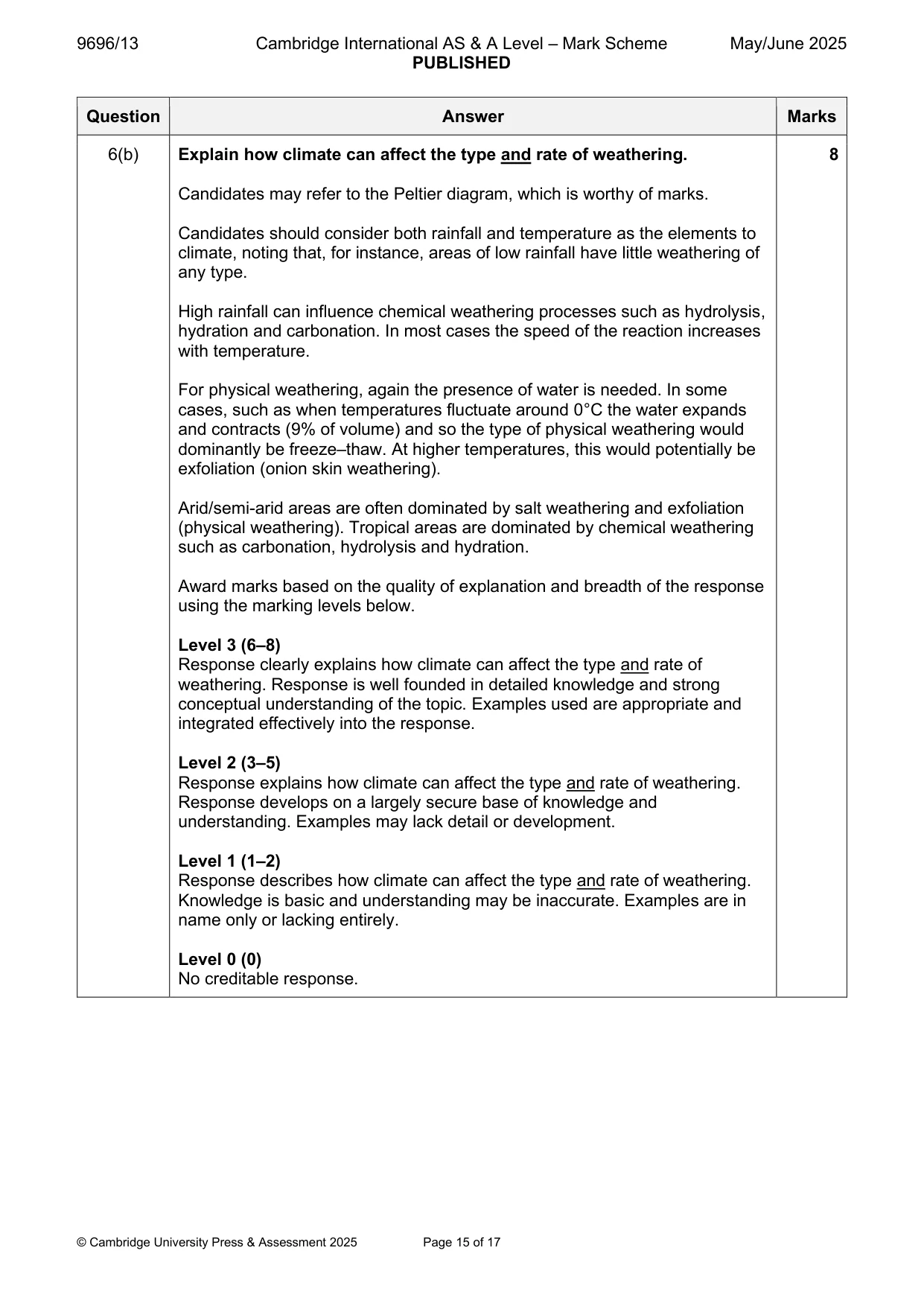
9696/13 Cambridge International AS & A Level – Mark Scheme PUBLISHED May/June 2025 © Cambridge University Press & Assessment 2025 Page 15 of 17 Question Answer Marks 6(b) Explain how climate can affect the type and rate of weathering. Candidates may refer to the Peltier diagram, which is worthy of marks. Candidates should consider both rainfall and temperature as the elements to climate, noting that, for instance, areas of low rainfall have little weathering of any type. High rainfall can influence chemical weathering processes such as hydrolysis, hydration and carbonation. In most cases the speed of the reaction increases with temperature. For physical weathering, again the presence of water is needed. In some cases, such as when temperatures fluctuate around 0°C the water expands and contracts (9% of volume) and so the type of physical weathering would dominantly be freeze–thaw. At higher temperatures, this would potentially be exfoliation (onion skin weathering). Arid/semi-arid areas are often dominated by salt weathering and exfoliation (physical weathering). Tropical areas are dominated by chemical weathering such as carbonation, hydrolysis and hydration. Award marks based on the quality of explanation and breadth of the response using the marking levels below. Level 3 (6–8) Response clearly explains how climate can affect the type and rate of weathering. Response is well founded in detailed knowledge and strong conceptual understanding of the topic. Examples used are appropriate and integrated effectively into the response. Level 2 (3–5) Response explains how climate can affect the type and rate of weathering. Response develops on a largely secure base of knowledge and understanding. Examples may lack detail or development. Level 1 (1–2) Response describes how climate can affect the type and rate of weathering. Knowledge is basic and understanding may be inaccurate. Examples are in name only or lacking entirely. Level 0 (0) No creditable response. 8
Mark scheme, page 16
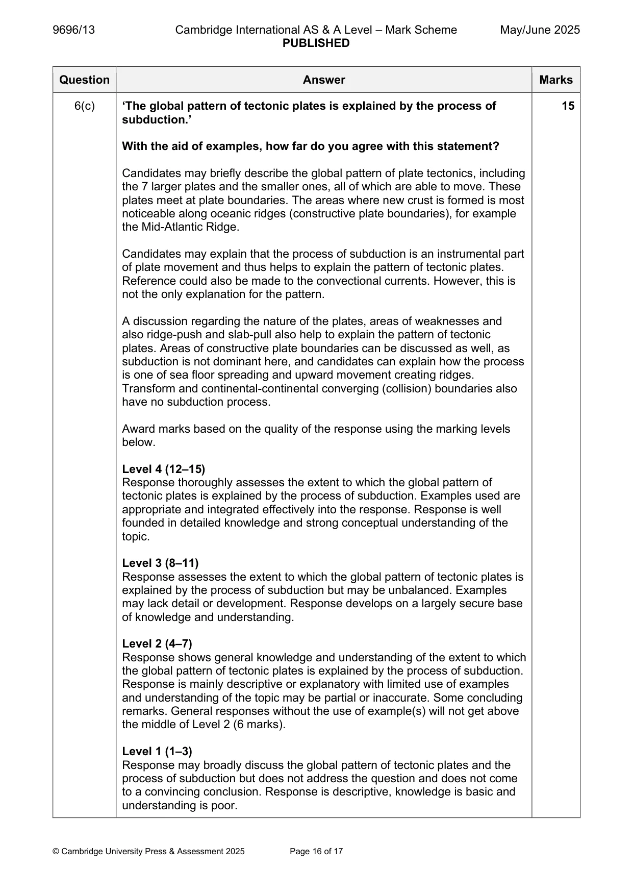
9696/13 Cambridge International AS & A Level – Mark Scheme PUBLISHED May/June 2025 © Cambridge University Press & Assessment 2025 Page 16 of 17 Question Answer Marks 6(c) ‘The global pattern of tectonic plates is explained by the process of subduction.’ With the aid of examples, how far do you agree with this statement? Candidates may briefly describe the global pattern of plate tectonics, including the 7 larger plates and the smaller ones, all of which are able to move. These plates meet at plate boundaries. The areas where new crust is formed is most noticeable along oceanic ridges (constructive plate boundaries), for example the Mid-Atlantic Ridge. Candidates may explain that the process of subduction is an instrumental part of plate movement and thus helps to explain the pattern of tectonic plates. Reference could also be made to the convectional currents. However, this is not the only explanation for the pattern. A discussion regarding the nature of the plates, areas of weaknesses and also ridge-push and slab-pull also help to explain the pattern of tectonic plates. Areas of constructive plate boundaries can be discussed as well, as subduction is not dominant here, and candidates can explain how the process is one of sea floor spreading and upward movement creating ridges. Transform and continental-continental converging (collision) boundaries also have no subduction process. Award marks based on the quality of the response using the marking levels below. Level 4 (12–15) Response thoroughly assesses the extent to which the global pattern of tectonic plates is explained by the process of subduction. Examples used are appropriate and integrated effectively into the response. Response is well founded in detailed knowledge and strong conceptual understanding of the topic. Level 3 (8–11) Response assesses the extent to which the global pattern of tectonic plates is explained by the process of subduction but may be unbalanced. Examples may lack detail or development. Response develops on a largely secure base of knowledge and understanding. Level 2 (4–7) Response shows general knowledge and understanding of the extent to which the global pattern of tectonic plates is explained by the process of subduction. Response is mainly descriptive or explanatory with limited use of examples and understanding of the topic may be partial or inaccurate. Some concluding remarks. General responses without the use of example(s) will not get above the middle of Level 2 (6 marks). Level 1 (1–3) Response may broadly discuss the global pattern of tectonic plates and the process of subduction but does not address the question and does not come to a convincing conclusion. Response is descriptive, knowledge is basic and understanding is poor. 15
Mark scheme, page 17
9696/13 Cambridge International AS & A Level – Mark Scheme PUBLISHED May/June 2025 © Cambridge University Press & Assessment 2025 Page 17 of 17 Question Answer Marks 6(c) Level 0 (0) No creditable response.
What you needed in this session
Cambridge’s own grade thresholds for 2025 May/June, Paper 1 · Variant 3. A higher threshold means an easier paper — the bar moves with how the cohort did.