Cambridge A Level Geography 9696 — 2019 Oct/Nov Paper 3 · Variant 3
9696/33/O/N/19 · 12 questions · 60 marks · ≈68 min
The question paper and its mark scheme, free to read here and free to download. This is Cambridge’s own paper, exactly as it was sat.
Question paper4 pages

Mark scheme22 pages
Answers below. Sit the paper first if you are practising.





Questions as text
Q1 · A photograph which shows a landform in a tropical environment
1 Fig. 1.1 is a photograph which shows a landform in a tropical environment. (a) With the aid of a labelled diagram, describe the landform shown in Fig. 1.1. [4] (b) Suggest how the landform shown in Fig. 1.1 was formed. [6]
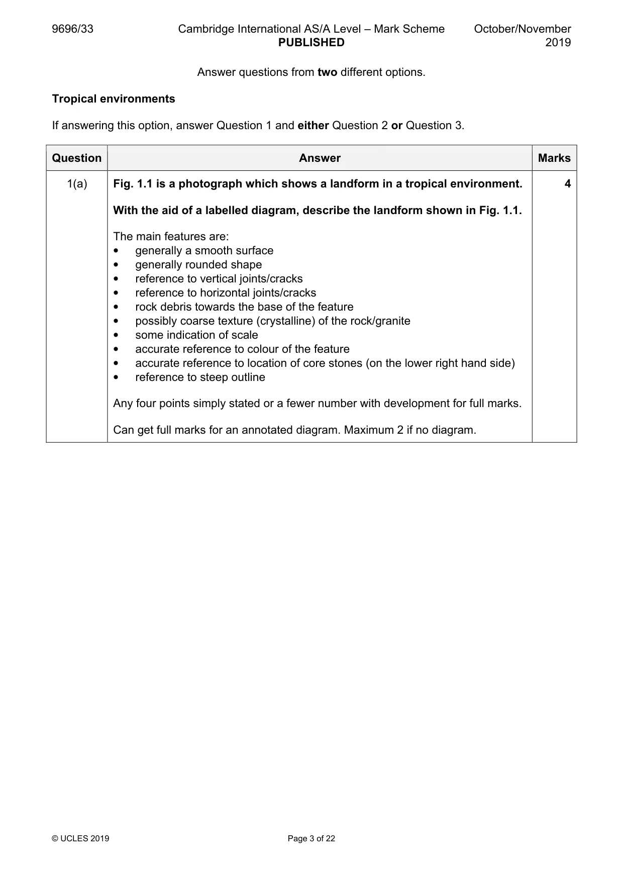
Mark scheme: Question Answer Marks 1(a) Fig. 1.1 is a photograph which shows a landform in a tropical environment. 4 With the aid of a labelled diagram, describe the landform shown in Fig. 1.1. The main features are: • generally a smooth surface • generally rounded shape • reference to vertical joints/cracks • reference to horizontal joints/cracks • rock debris towards the base of the feature • possibly coarse texture (crystalline) of the rock/granite • some indication of scale • accurate reference to colour of the feature • accurate reference to location of core stones (on the lower right hand side) • reference to steep outline Any four points simply stated or a fewer number with development for full marks. Can get full marks for an annotated diagram. Maximum 2 if no diagram. 1(b) Suggest how the landform shown in Fig. 1.1 was formed. 6 This is a ‘classic’ bornhardt and should be explained by deep weathering (etchplanation) of the rock (granite), mostly by hydrolysis, influenced by structure (joints) and mineralogy followed by stripping (exhumation) of the weathered material to produce the landform shown. A series of good diagrams could contain most of the important factors in formation. Discussion of exfoliation and dilatation is also relevant. Award marks based on the quality of explanation and breadth of the response using the marking levels below. Level 3 (5–6) Response addresses the main demand in the question. There is good explanation of the formation of the landform with detailed analysis of relevant processes and factors. Response is well founded in detailed knowledge and strong conceptual understanding of the topic. Any examples used are appropriate and integrated effectively into the response. Level 2 (3–4) Response addresses the question in a limited manner. There will be some omissions and inaccuracies in analysis of processes. Response may be lacking in detailed explanation of the landform. Response develops on a largely secure base of knowledge and understanding. Examples may lack detail or development. Level 1 (1–2) Response comprises one or more points which address the question in outline only. Knowledge is basic and understanding may be inaccurate. Examples are in name only or lacking entirely. Level 0 (0) No creditable response.
Q2 · Assess the extent to which energy flows and trophic levels differ between humid tropical…
2 Assess the extent to which energy flows and trophic levels differ between humid tropical (rainforest) ecosystems and seasonally humid tropical (savanna) ecosystems. [20]
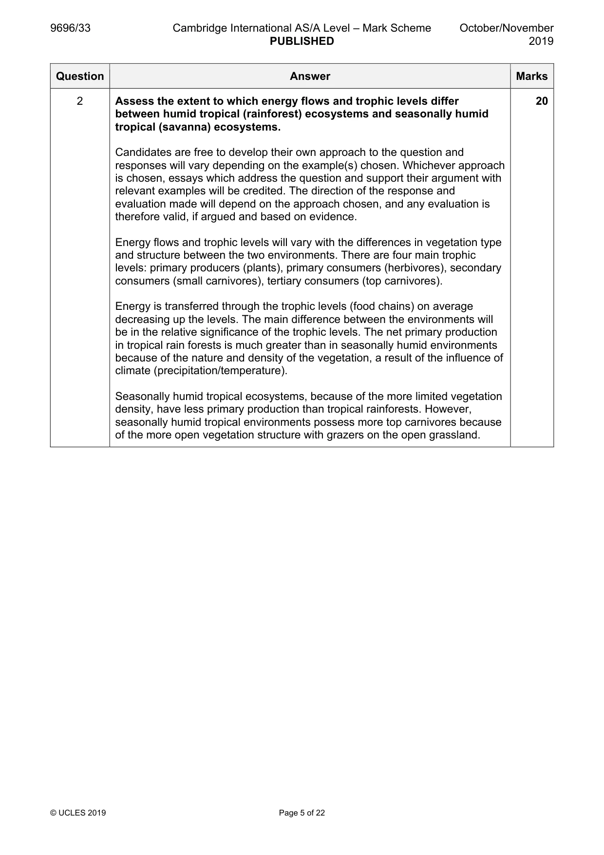
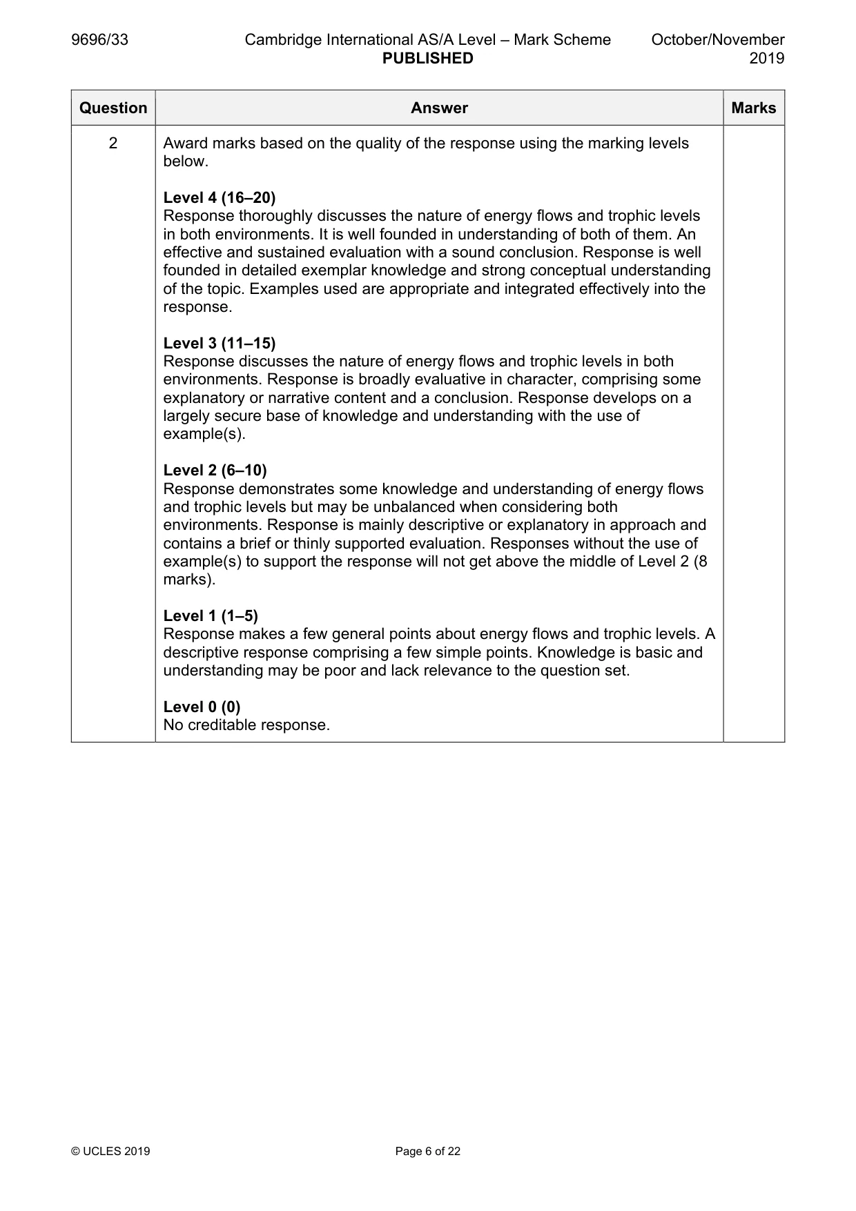
Mark scheme: 2 Assess the extent to which energy flows and trophic levels differ 20 between humid tropical (rainforest) ecosystems and seasonally humid tropical (savanna) ecosystems. Candidates are free to develop their own approach to the question and responses will vary depending on the example(s) chosen. Whichever approach is chosen, essays which address the question and support their argument with relevant examples will be credited. The direction of the response and evaluation made will depend on the approach chosen, and any evaluation is therefore valid, if argued and based on evidence. Energy flows and trophic levels will vary with the differences in vegetation type and structure between the two environments. There are four main trophic levels: primary producers (plants), primary consumers (herbivores), secondary consumers (small carnivores), tertiary consumers (top carnivores). Energy is transferred through the trophic levels (food chains) on average decreasing up the levels. The main difference between the environments will be in the relative significance of the trophic levels. The net primary production in tropical rain forests is much greater than in seasonally humid environments because of the nature and density of the vegetation, a result of the influence of climate (precipitation/temperature). Seasonally humid tropical ecosystems, because of the more limited vegetation density, have less primary production than tropical rainforests. However, seasonally humid tropical environments possess more top carnivores because of the more open vegetation structure with grazers on the open grassland. 2 Award marks based on the quality of the response using the marking levels below. Level 4 (16–20) Response thoroughly discusses the nature of energy flows and trophic levels in both environments. It is well founded in understanding of both of them. An effective and sustained evaluation with a sound conclusion. Response is well founded in detailed exemplar knowledge and strong conceptual understanding of the topic. Examples used are appropriate and integrated effectively into the response. Level 3 (11–15) Response discusses the nature of energy flows and trophic levels in both environments. Response is broadly evaluative in character, comprising some explanatory or narrative content and a conclusion. Response develops on a largely secure base of knowledge and understanding with the use of example(s). Level 2 (6–10) Response demonstrates some knowledge and understanding of energy flows and trophic levels but may be unbalanced when considering both environments. Response is mainly descriptive or explanatory in approach and contains a brief or thinly supported evaluation. Responses without the use of example(s) to support the response will not get above the middle of Level 2 (8 marks). Level 1 (1–5) Response makes a few general points about energy flows and trophic levels. A descriptive response comprising a few simple points. Knowledge is basic and understanding may be poor and lack relevance to the question set. Level 0 (0) No creditable response.
Q3 · Evaluate the influence of the intertropical convergence zone (ITCZ) on the global…
3 Evaluate the influence of the intertropical convergence zone (ITCZ) on the global distribution and characteristics of seasonally humid tropical climates. [20] Coastal environments If answering this option, answer Question 4 and either Question 5 or Question 6.
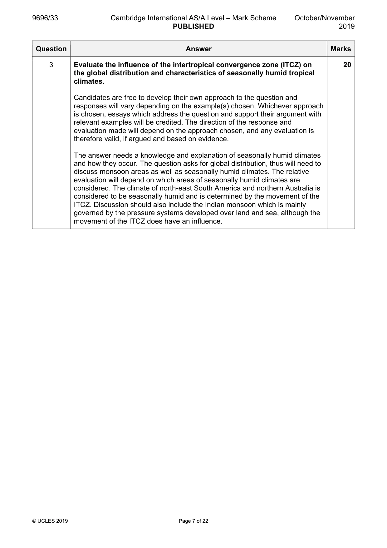
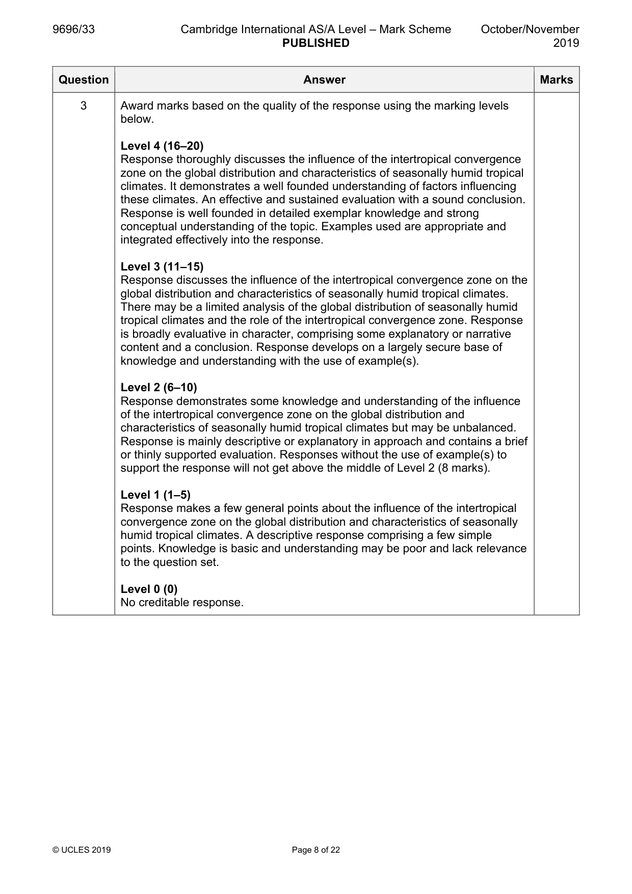
Mark scheme: 3 Evaluate the influence of the intertropical convergence zone (ITCZ) on 20 the global distribution and characteristics of seasonally humid tropical climates. Candidates are free to develop their own approach to the question and responses will vary depending on the example(s) chosen. Whichever approach is chosen, essays which address the question and support their argument with relevant examples will be credited. The direction of the response and evaluation made will depend on the approach chosen, and any evaluation is therefore valid, if argued and based on evidence. The answer needs a knowledge and explanation of seasonally humid climates and how they occur. The question asks for global distribution, thus will need to discuss monsoon areas as well as seasonally humid climates. The relative evaluation will depend on which areas of seasonally humid climates are considered. The climate of north-east South America and northern Australia is considered to be seasonally humid and is determined by the movement of the ITCZ. Discussion should also include the Indian monsoon which is mainly governed by the pressure systems developed over land and sea, although the movement of the ITCZ does have an influence. 3 Award marks based on the quality of the response using the marking levels below. Level 4 (16–20) Response thoroughly discusses the influence of the intertropical convergence zone on the global distribution and characteristics of seasonally humid tropical climates. It demonstrates a well founded understanding of factors influencing these climates. An effective and sustained evaluation with a sound conclusion. Response is well founded in detailed exemplar knowledge and strong conceptual understanding of the topic. Examples used are appropriate and integrated effectively into the response. Level 3 (11–15) Response discusses the influence of the intertropical convergence zone on the global distribution and characteristics of seasonally humid tropical climates. There may be a limited analysis of the global distribution of seasonally humid tropical climates and the role of the intertropical convergence zone. Response is broadly evaluative in character, comprising some explanatory or narrative content and a conclusion. Response develops on a largely secure base of knowledge and understanding with the use of example(s). Level 2 (6–10) Response demonstrates some knowledge and understanding of the influence of the intertropical convergence zone on the global distribution and characteristics of seasonally humid tropical climates but may be unbalanced. Response is mainly descriptive or explanatory in approach and contains a brief or thinly supported evaluation. Responses without the use of example(s) to support the response will not get above the middle of Level 2 (8 marks). Level 1 (1–5) Response makes a few general points about the influence of the intertropical convergence zone on the global distribution and characteristics of seasonally humid tropical climates. A descriptive response comprising a few simple points. Knowledge is basic and understanding may be poor and lack relevance to the question set. Level 0 (0) No creditable response. Coastal environments If answering this option, answer Question 4 and either Question 5 or Question 6.
Q4 · A model of a coastal dune system
4 Fig. 4.1 shows a model of a coastal dune system. (a) Describe the characteristics from A to B shown in Fig. 4.1. [4] (b) Explain how embryo dunes are formed and develop into fixed dunes. [6]
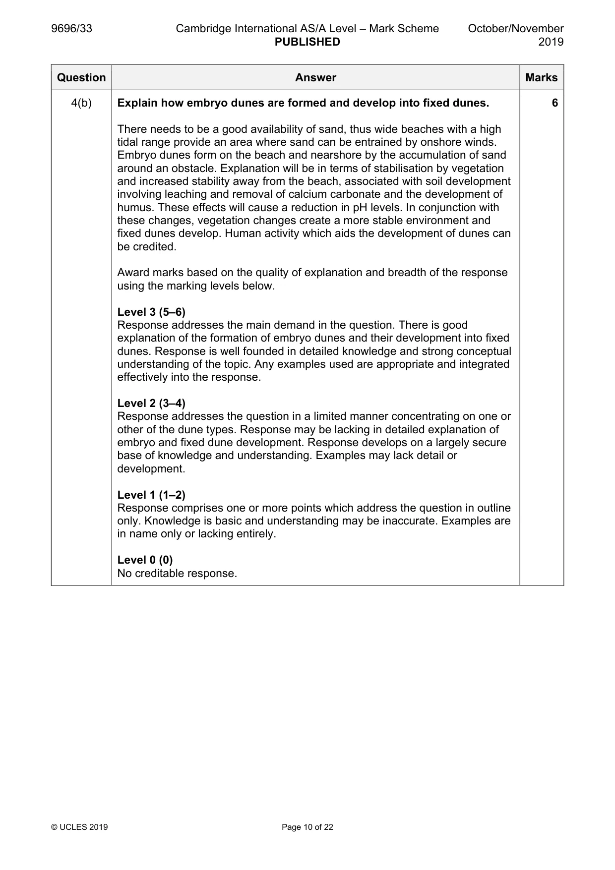
Mark scheme: 4(a) Fig. 4.1 shows a model of a coastal dune system. 4 Describe the characteristics from A to B shown in Fig. 4.1. The main characteristics are: • soil pH decreases from A to B • soil colour changes from yellow, through grey to brown • % organic content increases from A to B • % calcium carbonate decreases from A to B • increasing soil depth from A to B • accurate reference to vegetation change • accurate reference to topography in relation to the water table For four marks: • four accurate patterns • three accurate patterns plus data for one pattern • two accurate patterns plus data for two patterns 4(b) Explain how embryo dunes are formed and develop into fixed dunes. 6 There needs to be a good availability of sand, thus wide beaches with a high tidal range provide an area where sand can be entrained by onshore winds. Embryo dunes form on the beach and nearshore by the accumulation of sand around an obstacle. Explanation will be in terms of stabilisation by vegetation and increased stability away from the beach, associated with soil development involving leaching and removal of calcium carbonate and the development of humus. These effects will cause a reduction in pH levels. In conjunction with these changes, vegetation changes create a more stable environment and fixed dunes develop. Human activity which aids the development of dunes can be credited. Award marks based on the quality of explanation and breadth of the response using the marking levels below. Level 3 (5–6) Response addresses the main demand in the question. There is good explanation of the formation of embryo dunes and their development into fixed dunes. Response is well founded in detailed knowledge and strong conceptual understanding of the topic. Any examples used are appropriate and integrated effectively into the response. Level 2 (3–4) Response addresses the question in a limited manner concentrating on one or other of the dune types. Response may be lacking in detailed explanation of embryo and fixed dune development. Response develops on a largely secure base of knowledge and understanding. Examples may lack detail or development. Level 1 (1–2) Response comprises one or more points which address the question in outline only. Knowledge is basic and understanding may be inaccurate. Examples are in name only or lacking entirely. Level 0 (0) No creditable response.
Q5 · Evaluate the influence of rock type and rock structure on coastal erosion
5 Evaluate the influence of rock type and rock structure on coastal erosion. [20]
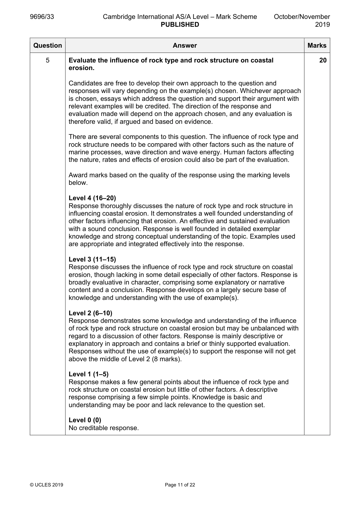
Mark scheme: 5 Evaluate the influence of rock type and rock structure on coastal 20 erosion. Candidates are free to develop their own approach to the question and responses will vary depending on the example(s) chosen. Whichever approach is chosen, essays which address the question and support their argument with relevant examples will be credited. The direction of the response and evaluation made will depend on the approach chosen, and any evaluation is therefore valid, if argued and based on evidence. There are several components to this question. The influence of rock type and rock structure needs to be compared with other factors such as the nature of marine processes, wave direction and wave energy. Human factors affecting the nature, rates and effects of erosion could also be part of the evaluation. Award marks based on the quality of the response using the marking levels below. Level 4 (16–20) Response thoroughly discusses the nature of rock type and rock structure in influencing coastal erosion. It demonstrates a well founded understanding of other factors influencing that erosion. An effective and sustained evaluation with a sound conclusion. Response is well founded in detailed exemplar knowledge and strong conceptual understanding of the topic. Examples used are appropriate and integrated effectively into the response. Level 3 (11–15) Response discusses the influence of rock type and rock structure on coastal erosion, though lacking in some detail especially of other factors. Response is broadly evaluative in character, comprising some explanatory or narrative content and a conclusion. Response develops on a largely secure base of knowledge and understanding with the use of example(s). Level 2 (6–10) Response demonstrates some knowledge and understanding of the influence of rock type and rock structure on coastal erosion but may be unbalanced with regard to a discussion of other factors. Response is mainly descriptive or explanatory in approach and contains a brief or thinly supported evaluation. Responses without the use of example(s) to support the response will not get above the middle of Level 2 (8 marks). Level 1 (1–5) Response makes a few general points about the influence of rock type and rock structure on coastal erosion but little of other factors. A descriptive response comprising a few simple points. Knowledge is basic and understanding may be poor and lack relevance to the question set. Level 0 (0) No creditable response.
Q6 · Hazardous environments If answering this option, answer Question 7 and either Question 8…
Hazardous environments If answering this option, answer Question 7 and either Question 8 or Question 9.
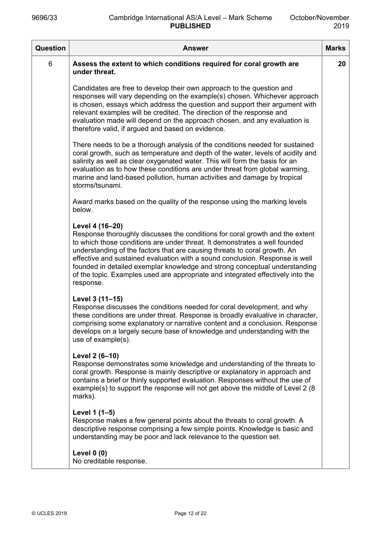
Mark scheme: 6 Assess the extent to which conditions required for coral growth are 20 under threat. Candidates are free to develop their own approach to the question and responses will vary depending on the example(s) chosen. Whichever approach is chosen, essays which address the question and support their argument with relevant examples will be credited. The direction of the response and evaluation made will depend on the approach chosen, and any evaluation is therefore valid, if argued and based on evidence. There needs to be a thorough analysis of the conditions needed for sustained coral growth, such as temperature and depth of the water, levels of acidity and salinity as well as clear oxygenated water. This will form the basis for an evaluation as to how these conditions are under threat from global warming, marine and land-based pollution, human activities and damage by tropical storms/tsunami. Award marks based on the quality of the response using the marking levels below. Level 4 (16–20) Response thoroughly discusses the conditions for coral growth and the extent to which those conditions are under threat. It demonstrates a well founded understanding of the factors that are causing threats to coral growth. An effective and sustained evaluation with a sound conclusion. Response is well founded in detailed exemplar knowledge and strong conceptual understanding of the topic. Examples used are appropriate and integrated effectively into the response. Level 3 (11–15) Response discusses the conditions needed for coral development, and why these conditions are under threat. Response is broadly evaluative in character, comprising some explanatory or narrative content and a conclusion. Response develops on a largely secure base of knowledge and understanding with the use of example(s). Level 2 (6–10) Response demonstrates some knowledge and understanding of the threats to coral growth. Response is mainly descriptive or explanatory in approach and contains a brief or thinly supported evaluation. Responses without the use of example(s) to support the response will not get above the middle of Level 2 (8 marks). Level 1 (1–5) Response makes a few general points about the threats to coral growth. A descriptive response comprising a few simple points. Knowledge is basic and understanding may be poor and lack relevance to the question set. Level 0 (0) No creditable response. Hazardous environments If answering this option, answer Question 7 and either Question 8 or Question 9.
Q7 · The distribution of tornadoes in the USA, by state, in 2016
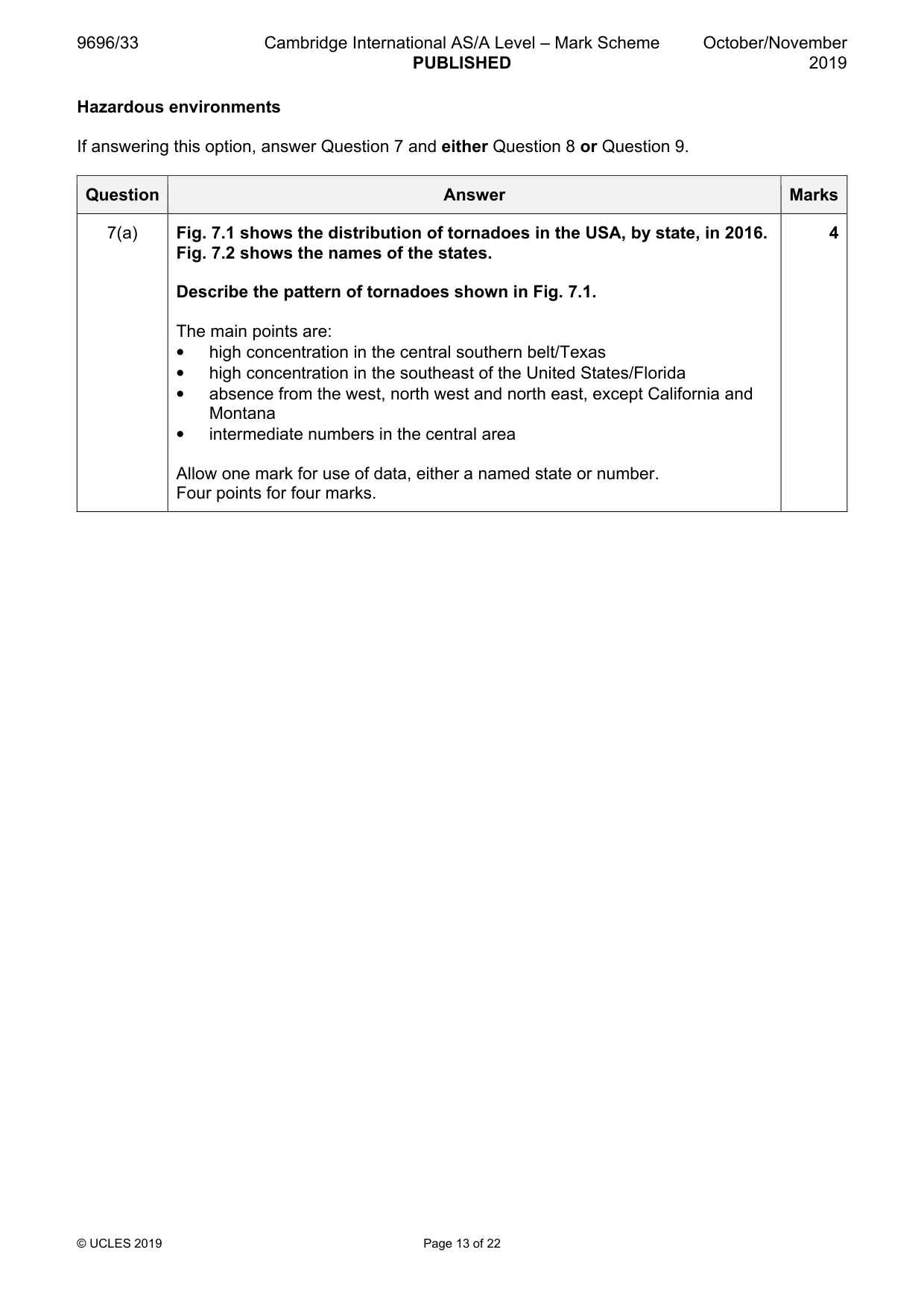
7 Fig. 7.1 shows the distribution of tornadoes in the USA, by state, in 2016. Fig. 7.2 shows the names of the states. (a) Describe the pattern of tornadoes shown in Fig. 7.1. [4] (b) Suggest reasons for the pattern of tornadoes described in (a). [6]
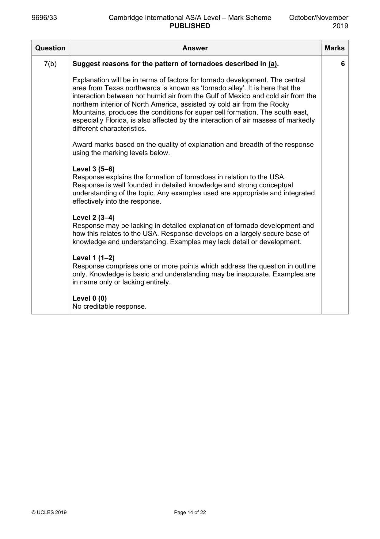
Mark scheme: 7(a) Fig. 7.1 shows the distribution of tornadoes in the USA, by state, in 2016. 4 Fig. 7.2 shows the names of the states. Describe the pattern of tornadoes shown in Fig. 7.1. The main points are: • high concentration in the central southern belt/Texas • high concentration in the southeast of the United States/Florida • absence from the west, north west and north east, except California and Montana • intermediate numbers in the central area Allow one mark for use of data, either a named state or number. Four points for four marks. 7(b) Suggest reasons for the pattern of tornadoes described in (a). 6 Explanation will be in terms of factors for tornado development. The central area from Texas northwards is known as ‘tornado alley’. It is here that the interaction between hot humid air from the Gulf of Mexico and cold air from the northern interior of North America, assisted by cold air from the Rocky Mountains, produces the conditions for super cell formation. The south east, especially Florida, is also affected by the interaction of air masses of markedly different characteristics. Award marks based on the quality of explanation and breadth of the response using the marking levels below. Level 3 (5–6) Response explains the formation of tornadoes in relation to the USA. Response is well founded in detailed knowledge and strong conceptual understanding of the topic. Any examples used are appropriate and integrated effectively into the response. Level 2 (3–4) Response may be lacking in detailed explanation of tornado development and how this relates to the USA. Response develops on a largely secure base of knowledge and understanding. Examples may lack detail or development. Level 1 (1–2) Response comprises one or more points which address the question in outline only. Knowledge is basic and understanding may be inaccurate. Examples are in name only or lacking entirely. Level 0 (0) No creditable response.
Q8 · ‘The hazardous impacts of mass movements depend on their nature and causes.’ With the aid…
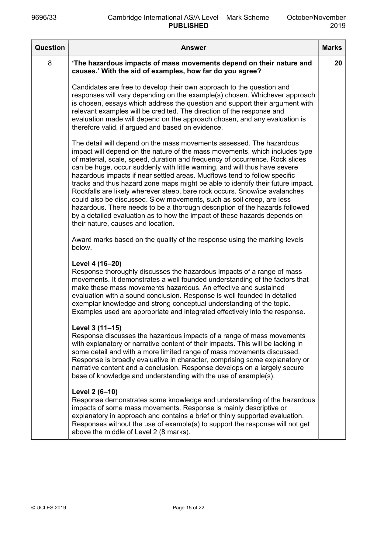
8 ‘The hazardous impacts of mass movements depend on their nature and causes.’ With the aid of examples, how far do you agree? [20]
Mark scheme: 8 ‘The hazardous impacts of mass movements depend on their nature and 20 causes.’ With the aid of examples, how far do you agree? Candidates are free to develop their own approach to the question and responses will vary depending on the example(s) chosen. Whichever approach is chosen, essays which address the question and support their argument with relevant examples will be credited. The direction of the response and evaluation made will depend on the approach chosen, and any evaluation is therefore valid, if argued and based on evidence. The detail will depend on the mass movements assessed. The hazardous impact will depend on the nature of the mass movements, which includes type of material, scale, speed, duration and frequency of occurrence. Rock slides can be huge, occur suddenly with little warning, and will thus have severe hazardous impacts if near settled areas. Mudflows tend to follow specific tracks and thus hazard zone maps might be able to identify their future impact. Rockfalls are likely wherever steep, bare rock occurs. Snow/ice avalanches could also be discussed. Slow movements, such as soil creep, are less hazardous. There needs to be a thorough description of the hazards followed by a detailed evaluation as to how the impact of these hazards depends on their nature, causes and location. Award marks based on the quality of the response using the marking levels below. Level 4 (16–20) Response thoroughly discusses the hazardous impacts of a range of mass movements. It demonstrates a well founded understanding of the factors that make these mass movements hazardous. An effective and sustained evaluation with a sound conclusion. Response is well founded in detailed exemplar knowledge and strong conceptual understanding of the topic. Examples used are appropriate and integrated effectively into the response. Level 3 (11–15) Response discusses the hazardous impacts of a range of mass movements with explanatory or narrative content of their impacts. This will be lacking in some detail and with a more limited range of mass movements discussed. Response is broadly evaluative in character, comprising some explanatory or narrative content and a conclusion. Response develops on a largely secure base of knowledge and understanding with the use of example(s). Level 2 (6–10) Response demonstrates some knowledge and understanding of the hazardous impacts of some mass movements. Response is mainly descriptive or explanatory in approach and contains a brief or thinly supported evaluation. Responses without the use of example(s) to support the response will not get above the middle of Level 2 (8 marks). 8 Level 1 (1–5) Response makes a few general points about the hazardous impacts of mass movements. A descriptive response comprising a few simple points. Knowledge is basic and understanding may be poor and lack relevance to the question set. Level 0 (0) No creditable response.
Q9 · Assess the extent to which the types of volcanic eruptions and their products determine…
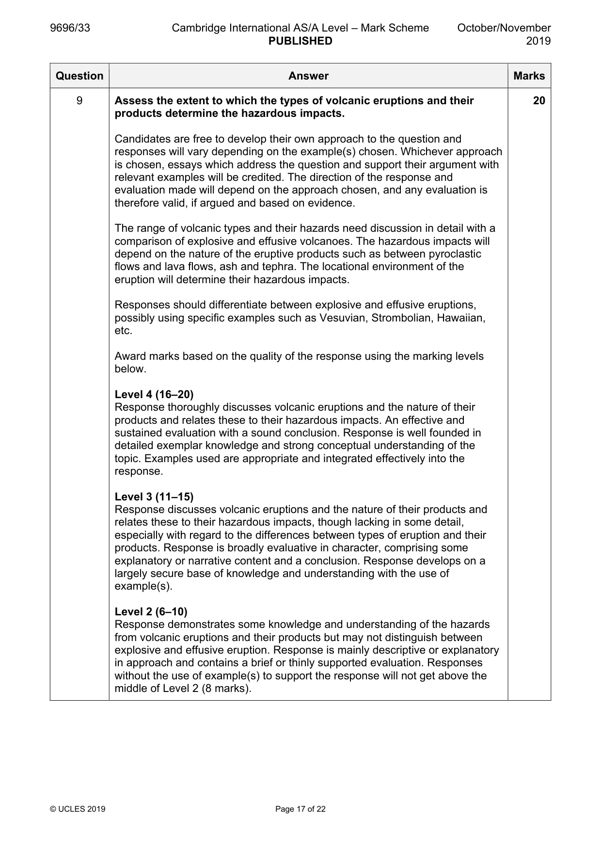
9 Assess the extent to which the types of volcanic eruptions and their products determine the hazardous impacts. [20] Hot arid and semi-arid environments If answering this option, answer Question 10 and either Question 11 or Question 12.
Mark scheme: 9 Assess the extent to which the types of volcanic eruptions and their 20 products determine the hazardous impacts. Candidates are free to develop their own approach to the question and responses will vary depending on the example(s) chosen. Whichever approach is chosen, essays which address the question and support their argument with relevant examples will be credited. The direction of the response and evaluation made will depend on the approach chosen, and any evaluation is therefore valid, if argued and based on evidence. The range of volcanic types and their hazards need discussion in detail with a comparison of explosive and effusive volcanoes. The hazardous impacts will depend on the nature of the eruptive products such as between pyroclastic flows and lava flows, ash and tephra. The locational environment of the eruption will determine their hazardous impacts. Responses should differentiate between explosive and effusive eruptions, possibly using specific examples such as Vesuvian, Strombolian, Hawaiian, etc. Award marks based on the quality of the response using the marking levels below. Level 4 (16–20) Response thoroughly discusses volcanic eruptions and the nature of their products and relates these to their hazardous impacts. An effective and sustained evaluation with a sound conclusion. Response is well founded in detailed exemplar knowledge and strong conceptual understanding of the topic. Examples used are appropriate and integrated effectively into the response. Level 3 (11–15) Response discusses volcanic eruptions and the nature of their products and relates these to their hazardous impacts, though lacking in some detail, especially with regard to the differences between types of eruption and their products. Response is broadly evaluative in character, comprising some explanatory or narrative content and a conclusion. Response develops on a largely secure base of knowledge and understanding with the use of example(s). Level 2 (6–10) Response demonstrates some knowledge and understanding of the hazards from volcanic eruptions and their products but may not distinguish between explosive and effusive eruption. Response is mainly descriptive or explanatory in approach and contains a brief or thinly supported evaluation. Responses without the use of example(s) to support the response will not get above the middle of Level 2 (8 marks). 9 Level 1 (1–5) Response makes a few general points about the hazardous effects of volcanic eruptions and their products. A descriptive response comprising a few simple points. Knowledge is basic and understanding may be poor and lack relevance to the question set. Level 0 (0) No creditable response. Hot arid and semi-arid environments If answering this option, answer Question 10 and either Question 11 or Question 12.
Q10 · Some landforms in a hot arid environment
10 Fig. 10.1 shows some landforms in a hot arid environment. (a) Describe the landforms shown in Fig. 10.1. [4] (b) Explain the development of the landforms shown in Fig. 10.1. [6]
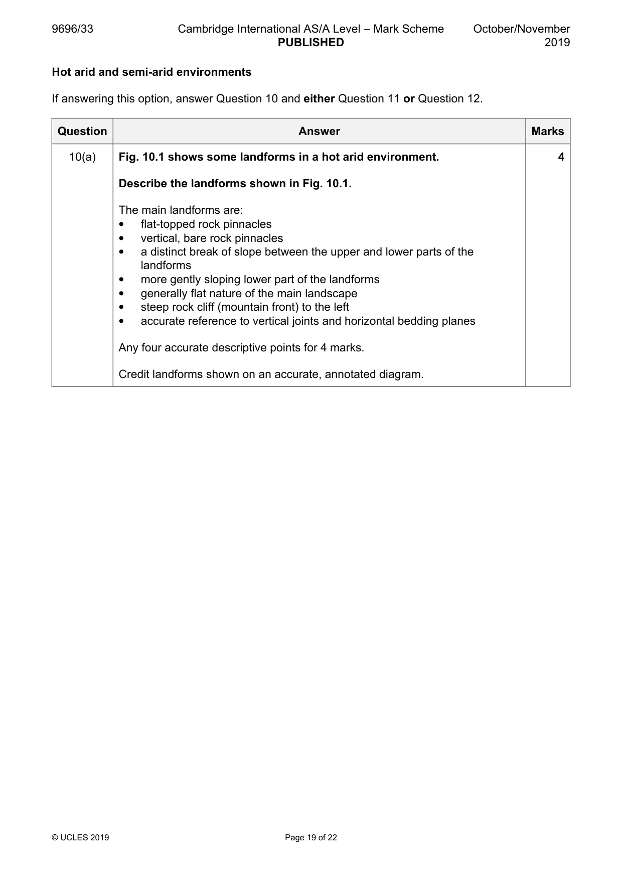
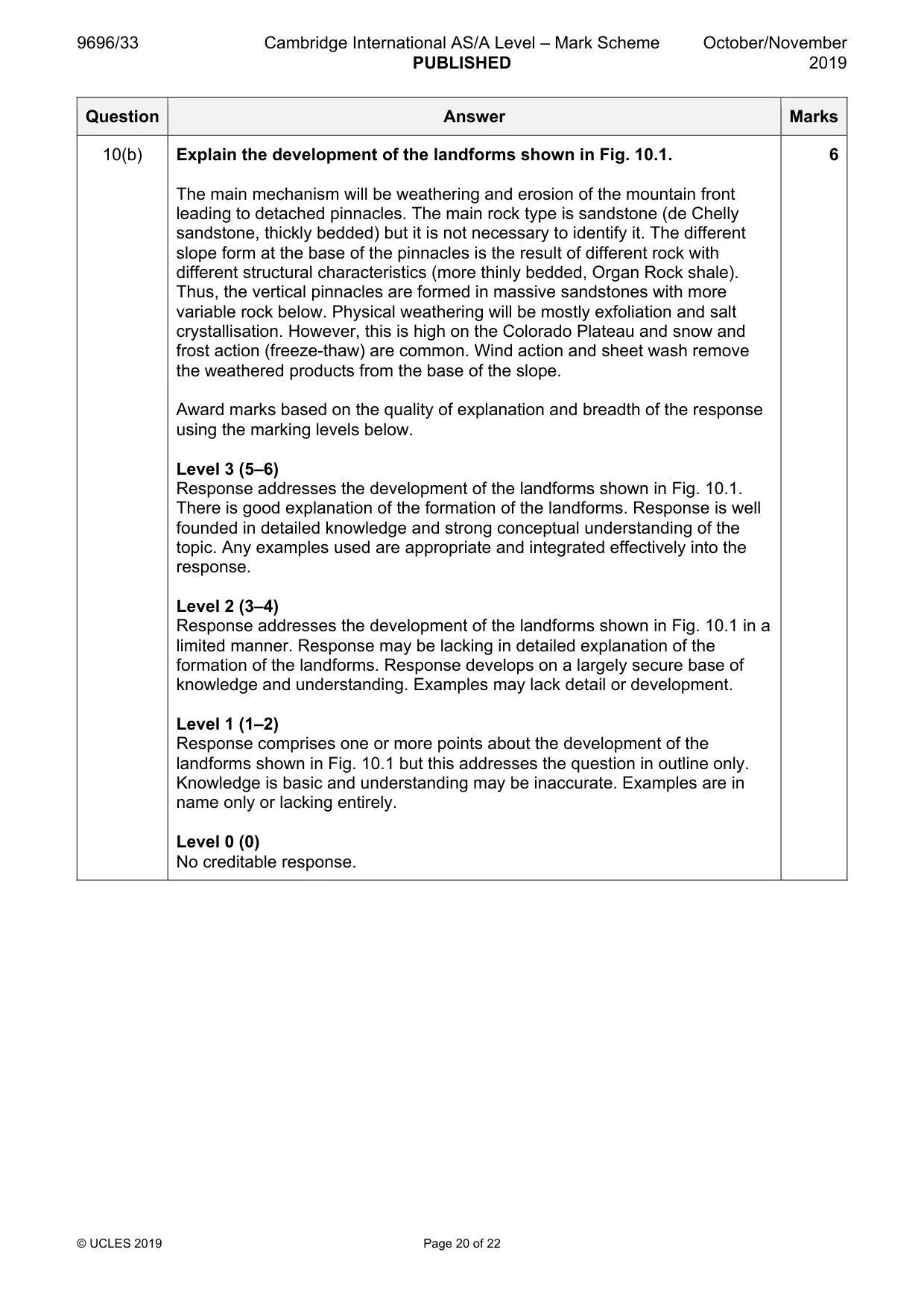
Mark scheme: 10(a) Fig. 10.1 shows some landforms in a hot arid environment. 4 Describe the landforms shown in Fig. 10.1. The main landforms are: • flat-topped rock pinnacles • vertical, bare rock pinnacles • a distinct break of slope between the upper and lower parts of the landforms • more gently sloping lower part of the landforms • generally flat nature of the main landscape • steep rock cliff (mountain front) to the left • accurate reference to vertical joints and horizontal bedding planes Any four accurate descriptive points for 4 marks. Credit landforms shown on an accurate, annotated diagram. 10(b) Explain the development of the landforms shown in Fig. 10.1. 6 The main mechanism will be weathering and erosion of the mountain front leading to detached pinnacles. The main rock type is sandstone (de Chelly sandstone, thickly bedded) but it is not necessary to identify it. The different slope form at the base of the pinnacles is the result of different rock with different structural characteristics (more thinly bedded, Organ Rock shale). Thus, the vertical pinnacles are formed in massive sandstones with more variable rock below. Physical weathering will be mostly exfoliation and salt crystallisation. However, this is high on the Colorado Plateau and snow and frost action (freeze-thaw) are common. Wind action and sheet wash remove the weathered products from the base of the slope. Award marks based on the quality of explanation and breadth of the response using the marking levels below. Level 3 (5–6) Response addresses the development of the landforms shown in Fig. 10.1. There is good explanation of the formation of the landforms. Response is well founded in detailed knowledge and strong conceptual understanding of the topic. Any examples used are appropriate and integrated effectively into the response. Level 2 (3–4) Response addresses the development of the landforms shown in Fig. 10.1 in a limited manner. Response may be lacking in detailed explanation of the formation of the landforms. Response develops on a largely secure base of knowledge and understanding. Examples may lack detail or development. Level 1 (1–2) Response comprises one or more points about the development of the landforms shown in Fig. 10.1 but this addresses the question in outline only. Knowledge is basic and understanding may be inaccurate. Examples are in name only or lacking entirely. Level 0 (0) No creditable response.
Q11 · Explain why the nature of climate and soils cause problems for the sustainable management…
11 Explain why the nature of climate and soils cause problems for the sustainable management of either hot arid or semi-arid environments. Using a case study, evaluate attempted solutions to these problems. [20]
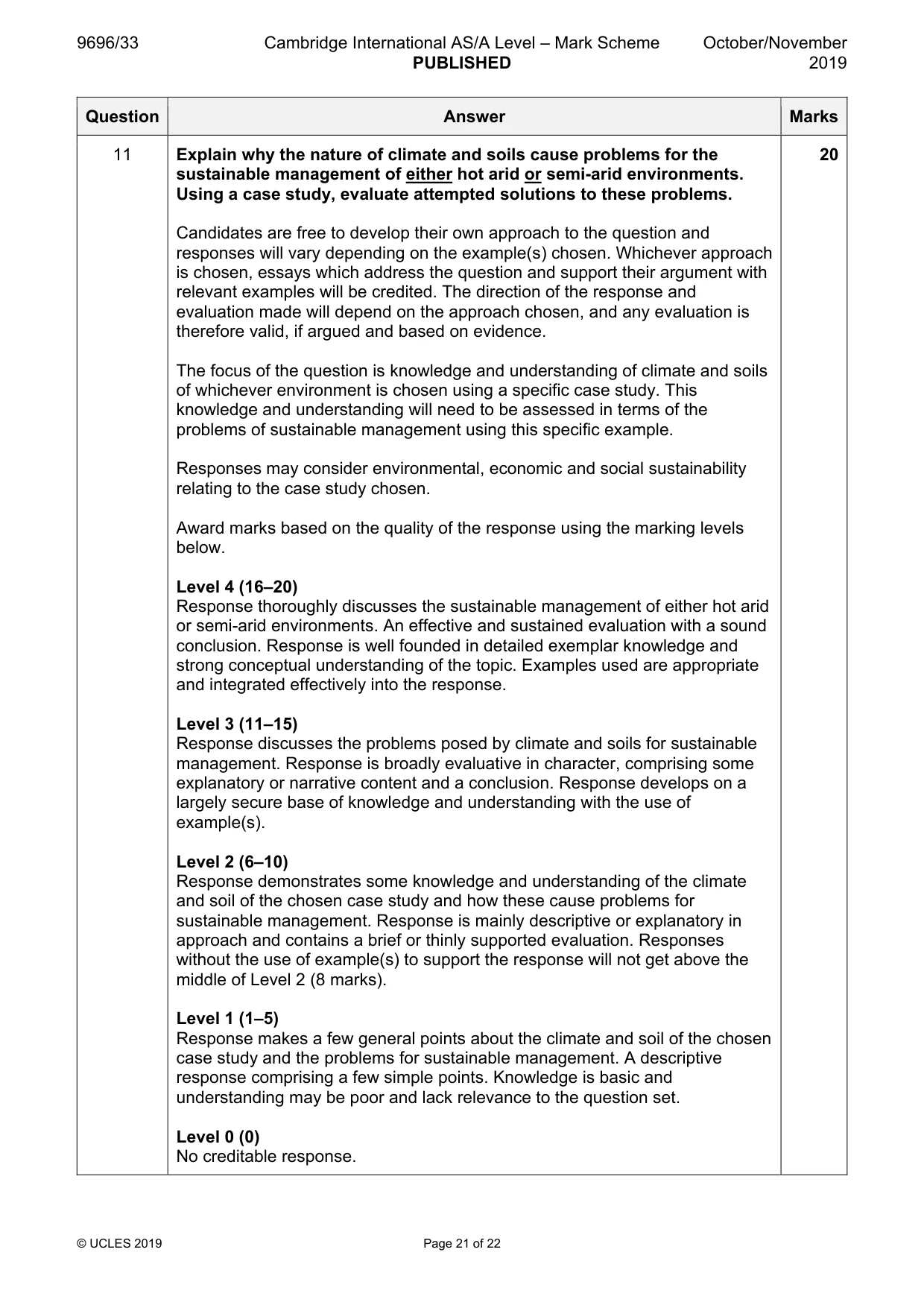
Mark scheme: 11 Explain why the nature of climate and soils cause problems for the 20 sustainable management of either hot arid or semi-arid environments. Using a case study, evaluate attempted solutions to these problems. Candidates are free to develop their own approach to the question and responses will vary depending on the example(s) chosen. Whichever approach is chosen, essays which address the question and support their argument with relevant examples will be credited. The direction of the response and evaluation made will depend on the approach chosen, and any evaluation is therefore valid, if argued and based on evidence. The focus of the question is knowledge and understanding of climate and soils of whichever environment is chosen using a specific case study. This knowledge and understanding will need to be assessed in terms of the problems of sustainable management using this specific example. Responses may consider environmental, economic and social sustainability relating to the case study chosen. Award marks based on the quality of the response using the marking levels below. Level 4 (16–20) Response thoroughly discusses the sustainable management of either hot arid or semi-arid environments. An effective and sustained evaluation with a sound conclusion. Response is well founded in detailed exemplar knowledge and strong conceptual understanding of the topic. Examples used are appropriate and integrated effectively into the response. Level 3 (11–15) Response discusses the problems posed by climate and soils for sustainable management. Response is broadly evaluative in character, comprising some explanatory or narrative content and a conclusion. Response develops on a largely secure base of knowledge and understanding with the use of example(s). Level 2 (6–10) Response demonstrates some knowledge and understanding of the climate and soil of the chosen case study and how these cause problems for sustainable management. Response is mainly descriptive or explanatory in approach and contains a brief or thinly supported evaluation. Responses without the use of example(s) to support the response will not get above the middle of Level 2 (8 marks). Level 1 (1–5) Response makes a few general points about the climate and soil of the chosen case study and the problems for sustainable management. A descriptive response comprising a few simple points. Knowledge is basic and understanding may be poor and lack relevance to the question set. Level 0 (0) No creditable response.
Q12 · With the aid of examples, assess the extent to which desertification is caused by natural…
12 With the aid of examples, assess the extent to which desertification is caused by natural factors. [20]
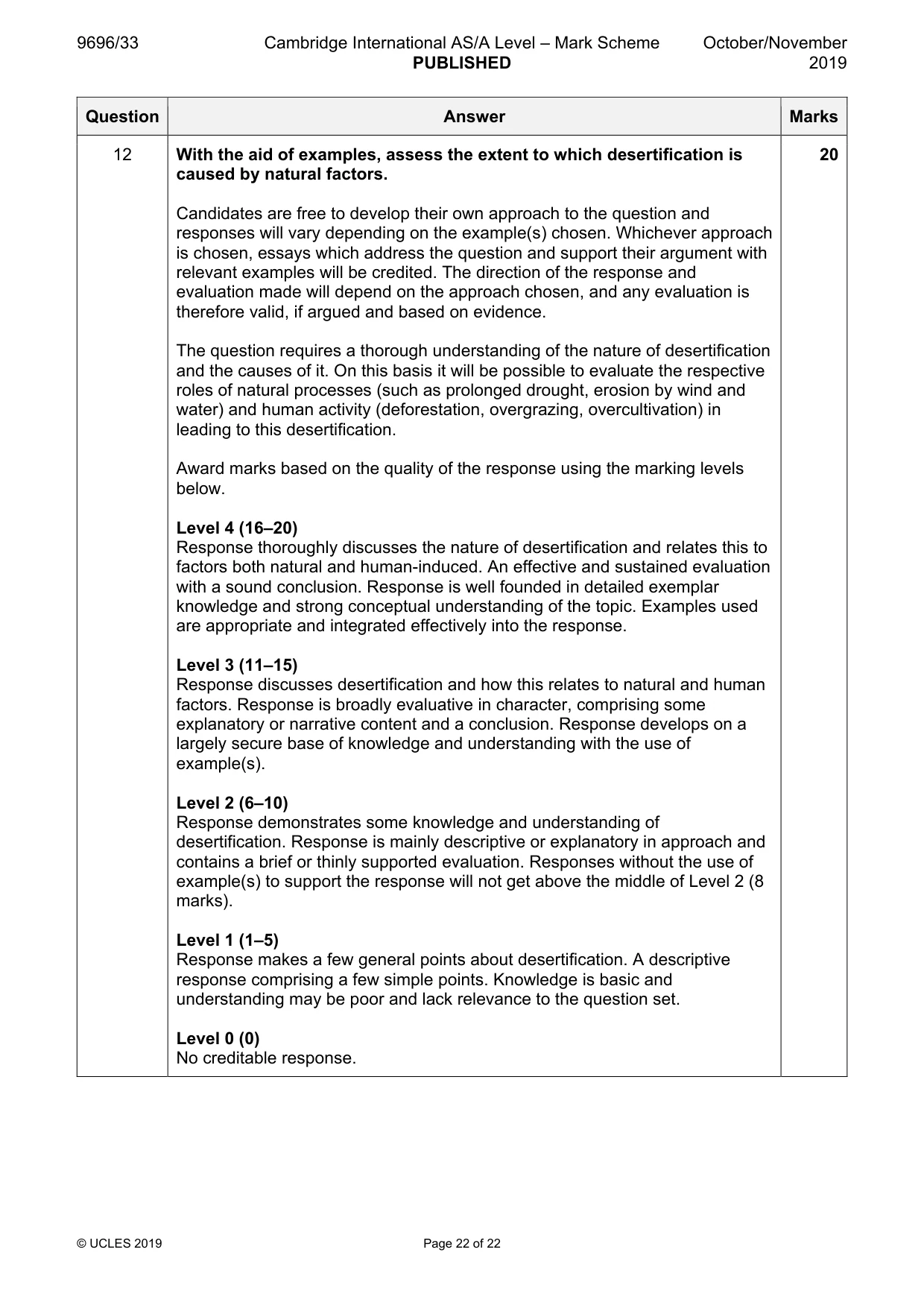
Mark scheme: 12 With the aid of examples, assess the extent to which desertification is 20 caused by natural factors. Candidates are free to develop their own approach to the question and responses will vary depending on the example(s) chosen. Whichever approach is chosen, essays which address the question and support their argument with relevant examples will be credited. The direction of the response and evaluation made will depend on the approach chosen, and any evaluation is therefore valid, if argued and based on evidence. The question requires a thorough understanding of the nature of desertification and the causes of it. On this basis it will be possible to evaluate the respective roles of natural processes (such as prolonged drought, erosion by wind and water) and human activity (deforestation, overgrazing, overcultivation) in leading to this desertification. Award marks based on the quality of the response using the marking levels below. Level 4 (16–20) Response thoroughly discusses the nature of desertification and relates this to factors both natural and human-induced. An effective and sustained evaluation with a sound conclusion. Response is well founded in detailed exemplar knowledge and strong conceptual understanding of the topic. Examples used are appropriate and integrated effectively into the response. Level 3 (11–15) Response discusses desertification and how this relates to natural and human factors. Response is broadly evaluative in character, comprising some explanatory or narrative content and a conclusion. Response develops on a largely secure base of knowledge and understanding with the use of example(s). Level 2 (6–10) Response demonstrates some knowledge and understanding of desertification. Response is mainly descriptive or explanatory in approach and contains a brief or thinly supported evaluation. Responses without the use of example(s) to support the response will not get above the middle of Level 2 (8 marks). Level 1 (1–5) Response makes a few general points about desertification. A descriptive response comprising a few simple points. Knowledge is basic and understanding may be poor and lack relevance to the question set. Level 0 (0) No creditable response.
What was in this paper
The subtopics covered by these 12 questions, and how many questions each got. Open one in a new tab to see every Cambridge question on it.
1Coastal processes1Environmental degradation1Hazards resulting from atmospheric disturbances1Hazards resulting from mass movements1Hazards resulting from tectonic processes1Humid tropical (rainforest) ecosystems and seasonally humid tropical (savanna) ecosystems1Landforms of hot arid and semi-arid environments1Landforms of tropical environments1Sustainable management in hazardous environments1Sustainable management of hot arid and semi-arid environments1Tropical climates1What you needed in this session
Cambridge’s own grade thresholds for 2019 Oct/Nov, Paper 3 · Variant 3. A higher threshold means an easier paper — the bar moves with how the cohort did.