Cambridge A Level Geography 9696 — 2019 Oct/Nov Paper 1 · Variant 1
9696/11/O/N/19 · 60 marks · ≈68 min
The question paper and its mark scheme, free to read here and free to download. This is Cambridge’s own paper, exactly as it was sat.
Question paper4 pages

Mark scheme14 pages
Answers below. Sit the paper first if you are practising.
Paper as text
Question paper, page 1
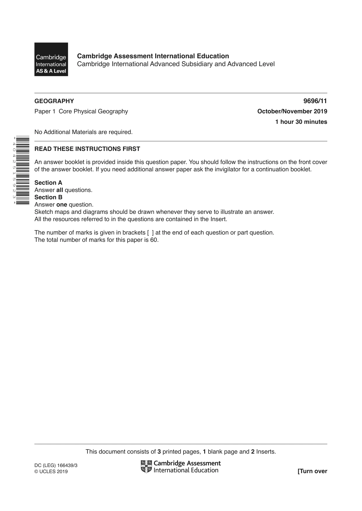
This document consists of 3 printed pages, 1 blank page and 2 Inserts. DC (LEG) 166439/3 © UCLES 2019 [Turn over Cambridge Assessment International Education Cambridge International Advanced Subsidiary and Advanced Level * 4 0 4 2 5 1 5 9 2 3 * GEOGRAPHY 9696/11 Paper 1 Core Physical Geography October/November 2019 1 hour 30 minutes No Additional Materials are required. READ THESE INSTRUCTIONS FIRST An answer booklet is provided inside this question paper. You should follow the instructions on the front cover of the answer booklet. If you need additional answer paper ask the invigilator for a continuation booklet. Section A Answer all questions. Section B Answer one question. Sketch maps and diagrams should be drawn whenever they serve to illustrate an answer. All the resources referred to in the questions are contained in the Insert. The number of marks is given in brackets [ ] at the end of each question or part question. The total number of marks for this paper is 60.
Question paper, page 2
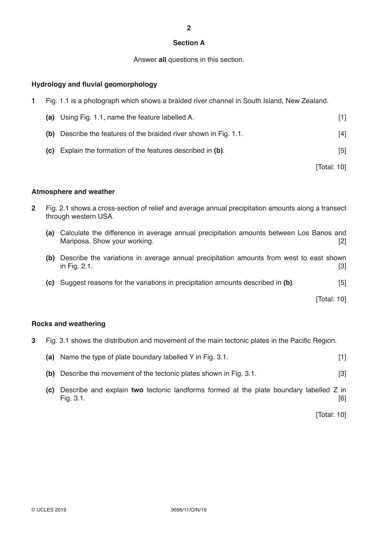
2 9696/11/O/N/19 © UCLES 2019 Section A Answer all questions in this section. Hydrology and fluvial geomorphology 1 Fig. 1.1 is a photograph which shows a braided river channel in South Island, New Zealand. (a) Using Fig. 1.1, name the feature labelled A. [1] (b) Describe the features of the braided river shown in Fig. 1.1. [4] (c) Explain the formation of the features described in (b). [5] [Total: 10] Atmosphere and weather 2 Fig. 2.1 shows a cross-section of relief and average annual precipitation amounts along a transect through western USA. (a) Calculate the difference in average annual precipitation amounts between Los Banos and Mariposa. Show your working. [2] (b) Describe the variations in average annual precipitation amounts from west to east shown in Fig. 2.1. [3] (c) Suggest reasons for the variations in precipitation amounts described in (b). [5] [Total: 10] Rocks and weathering 3 Fig. 3.1 shows the distribution and movement of the main tectonic plates in the Pacific Region. (a) Name the type of plate boundary labelled Y in Fig. 3.1. [1] (b) Describe the movement of the tectonic plates shown in Fig. 3.1. [3] (c) Describe and explain two tectonic landforms formed at the plate boundary labelled Z in Fig. 3.1. [6] [Total: 10]
Question paper, page 3
3 9696/11/O/N/19 © UCLES 2019 Section B Answer one question from this section. Hydrology and fluvial geomorphology 4 (a) (i) Define the terms throughflow and soil water. [4] (ii) Briefly explain how drainage density affects the shape of a storm hydrograph. [3] (b) Explain the effects of land use change on catchment flows and catchment stores. [8] (c) With the aid of examples, assess the extent to which river floods can be prevented. [15] [Total: 30] Atmosphere and weather 5 (a) (i) Briefly describe the differences between sensible heat transfer and latent heat transfer. [3] (ii) Describe the conditions that increase evaporation rates. [4] (b) Describe the distribution of global pressure belts and explain their seasonal variation. [8] (c) ‘Emissions from transport are the main cause of the enhanced greenhouse effect.’ With the aid of examples, how far do you agree? [15] [Total: 30] Rocks and weathering 6 (a) (i) Define the weathering terms hydration and freeze-thaw. [4] (ii) Briefly describe how heating and cooling can result in the weathering of rocks. [3] (b) Describe and explain the conditions that result in mass movements on slopes. [8] (c) ‘Rock type is the most important factor in determining the type and rate of weathering.’ With the aid of examples, how far do you agree? [15] [Total: 30]
Question paper, page 4
4 9696/11/O/N/19 © UCLES 2019 BLANK PAGE Permission to reproduce items where third-party owned material protected by copyright is included has been sought and cleared where possible. Every reasonable effort has been made by the publisher (UCLES) to trace copyright holders, but if any items requiring clearance have unwittingly been included, the publisher will be pleased to make amends at the earliest possible opportunity. To avoid the issue of disclosure of answer-related information to candidates, all copyright acknowledgements are reproduced online in the Cambridge Assessment International Education Copyright Acknowledgements Booklet. This is produced for each series of examinations and is freely available to download at www.cambridgeinternational.org after the live examination series. Cambridge Assessment International Education is part of the Cambridge Assessment Group. Cambridge Assessment is the brand name of the University of Cambridge Local Examinations Syndicate (UCLES), which itself is a department of the University of Cambridge.
Mark scheme, page 1
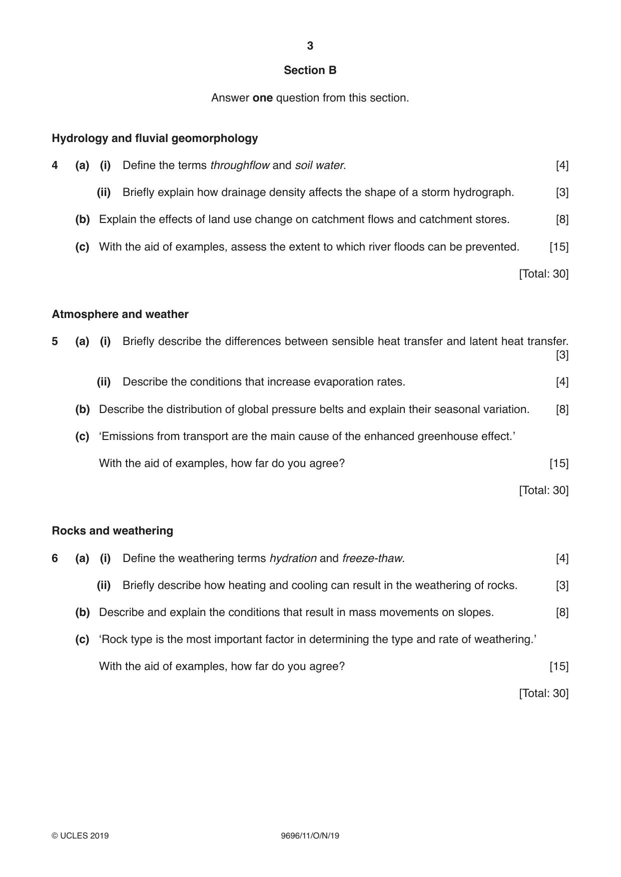
This document consists of 14 printed pages. © UCLES 2019 [Turn over Cambridge Assessment International Education Cambridge International Advanced Subsidiary and Advanced Level GEOGRAPHY 9696/11 Paper 1 Core Physical Geography October/November 2019 MARK SCHEME Maximum Mark: 60 Published This mark scheme is published as an aid to teachers and candidates, to indicate the requirements of the examination. It shows the basis on which Examiners were instructed to award marks. It does not indicate the details of the discussions that took place at an Examiners’ meeting before marking began, which would have considered the acceptability of alternative answers. Mark schemes should be read in conjunction with the question paper and the Principal Examiner Report for Teachers. Cambridge International will not enter into discussions about these mark schemes. Cambridge International is publishing the mark schemes for the October/November 2019 series for most Cambridge IGCSE™, Cambridge International A and AS Level components and some Cambridge O Level components.
Mark scheme, page 2
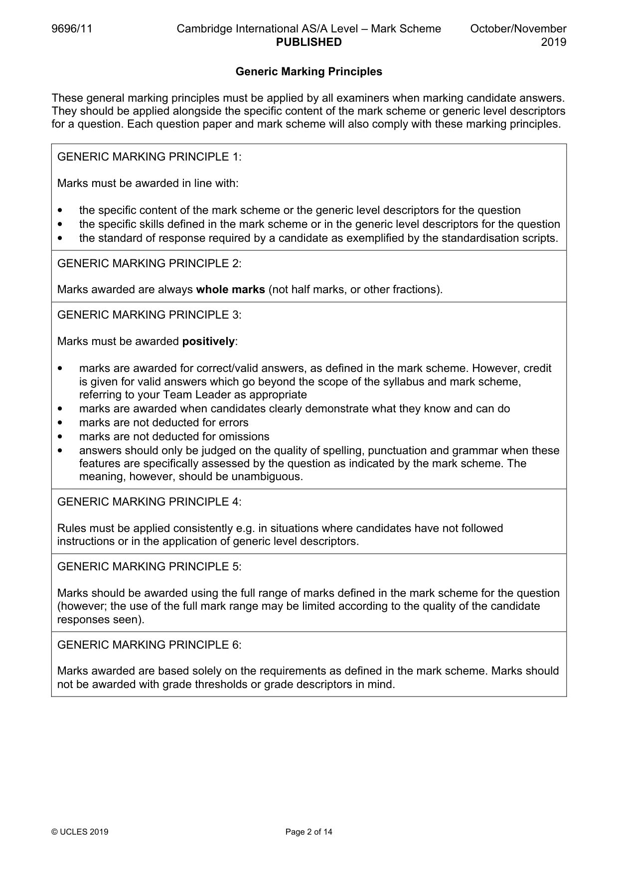
9696/11 Cambridge International AS/A Level – Mark Scheme PUBLISHED October/November 2019 © UCLES 2019 Page 2 of 14 Generic Marking Principles These general marking principles must be applied by all examiners when marking candidate answers. They should be applied alongside the specific content of the mark scheme or generic level descriptors for a question. Each question paper and mark scheme will also comply with these marking principles. GENERIC MARKING PRINCIPLE 1: Marks must be awarded in line with: • the specific content of the mark scheme or the generic level descriptors for the question • the specific skills defined in the mark scheme or in the generic level descriptors for the question • the standard of response required by a candidate as exemplified by the standardisation scripts. GENERIC MARKING PRINCIPLE 2: Marks awarded are always whole marks (not half marks, or other fractions). GENERIC MARKING PRINCIPLE 3: Marks must be awarded positively: • marks are awarded for correct/valid answers, as defined in the mark scheme. However, credit is given for valid answers which go beyond the scope of the syllabus and mark scheme, referring to your Team Leader as appropriate • marks are awarded when candidates clearly demonstrate what they know and can do • marks are not deducted for errors • marks are not deducted for omissions • answers should only be judged on the quality of spelling, punctuation and grammar when these features are specifically assessed by the question as indicated by the mark scheme. The meaning, however, should be unambiguous. GENERIC MARKING PRINCIPLE 4: Rules must be applied consistently e.g. in situations where candidates have not followed instructions or in the application of generic level descriptors. GENERIC MARKING PRINCIPLE 5: Marks should be awarded using the full range of marks defined in the mark scheme for the question (however; the use of the full mark range may be limited according to the quality of the candidate responses seen). GENERIC MARKING PRINCIPLE 6: Marks awarded are based solely on the requirements as defined in the mark scheme. Marks should not be awarded with grade thresholds or grade descriptors in mind.
Mark scheme, page 3
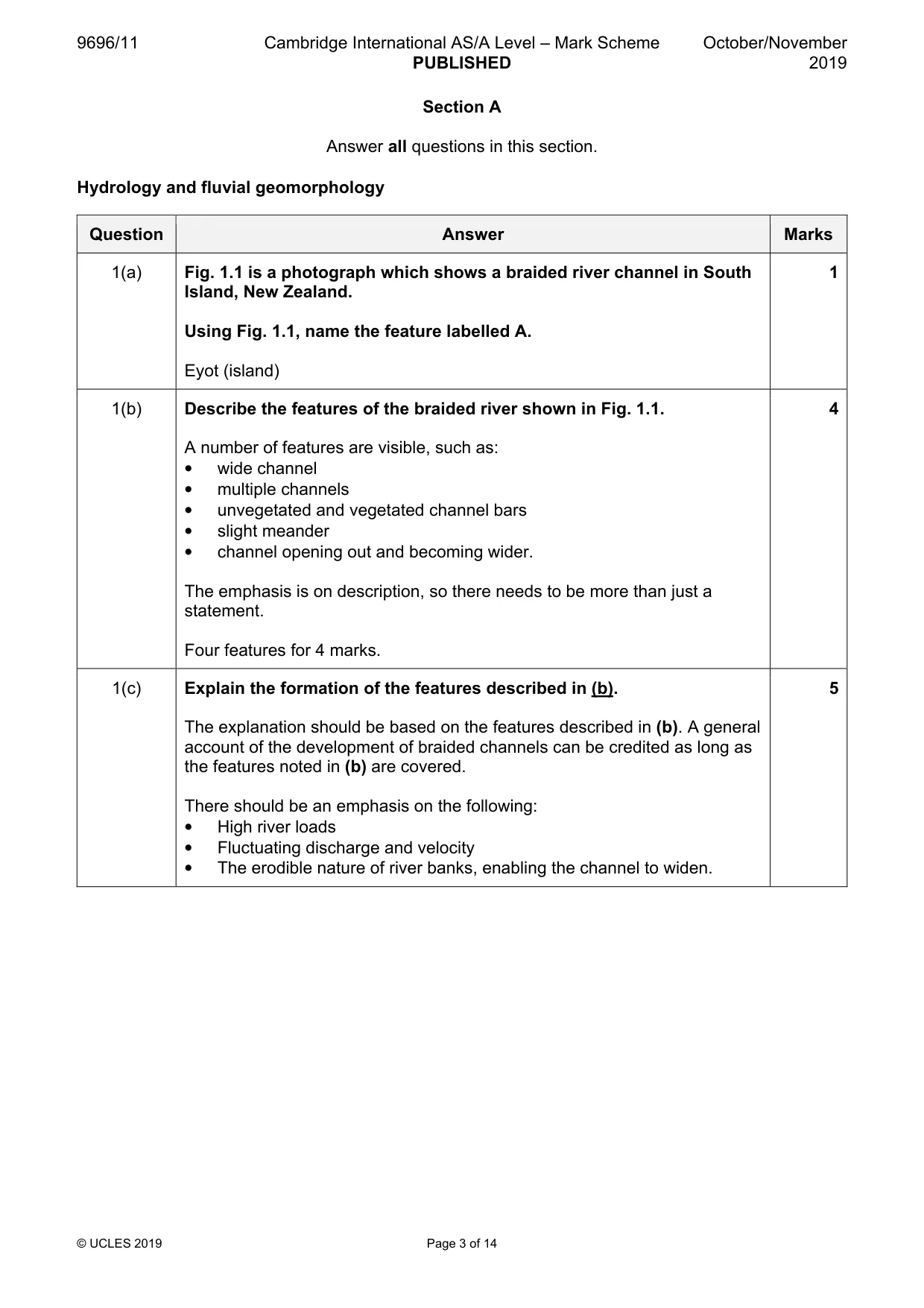
9696/11 Cambridge International AS/A Level – Mark Scheme PUBLISHED October/November 2019 © UCLES 2019 Page 3 of 14 Section A Answer all questions in this section. Hydrology and fluvial geomorphology Question Answer Marks 1(a) Fig. 1.1 is a photograph which shows a braided river channel in South Island, New Zealand. Using Fig. 1.1, name the feature labelled A. Eyot (island) 1 1(b) Describe the features of the braided river shown in Fig. 1.1. A number of features are visible, such as: • wide channel • multiple channels • unvegetated and vegetated channel bars • slight meander • channel opening out and becoming wider. The emphasis is on description, so there needs to be more than just a statement. Four features for 4 marks. 4 1(c) Explain the formation of the features described in (b). The explanation should be based on the features described in (b). A general account of the development of braided channels can be credited as long as the features noted in (b) are covered. There should be an emphasis on the following: • High river loads • Fluctuating discharge and velocity • The erodible nature of river banks, enabling the channel to widen. 5
Mark scheme, page 4
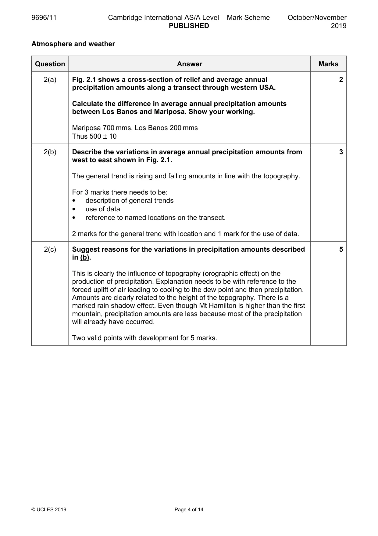
9696/11 Cambridge International AS/A Level – Mark Scheme PUBLISHED October/November 2019 © UCLES 2019 Page 4 of 14 Atmosphere and weather Question Answer Marks 2(a) Fig. 2.1 shows a cross-section of relief and average annual precipitation amounts along a transect through western USA. Calculate the difference in average annual precipitation amounts between Los Banos and Mariposa. Show your working. Mariposa 700 mms, Los Banos 200 mms Thus 500 ± 10 2 2(b) Describe the variations in average annual precipitation amounts from west to east shown in Fig. 2.1. The general trend is rising and falling amounts in line with the topography. For 3 marks there needs to be: • description of general trends • use of data • reference to named locations on the transect. 2 marks for the general trend with location and 1 mark for the use of data. 3 2(c) Suggest reasons for the variations in precipitation amounts described in (b). This is clearly the influence of topography (orographic effect) on the production of precipitation. Explanation needs to be with reference to the forced uplift of air leading to cooling to the dew point and then precipitation. Amounts are clearly related to the height of the topography. There is a marked rain shadow effect. Even though Mt Hamilton is higher than the first mountain, precipitation amounts are less because most of the precipitation will already have occurred. Two valid points with development for 5 marks. 5
Mark scheme, page 5
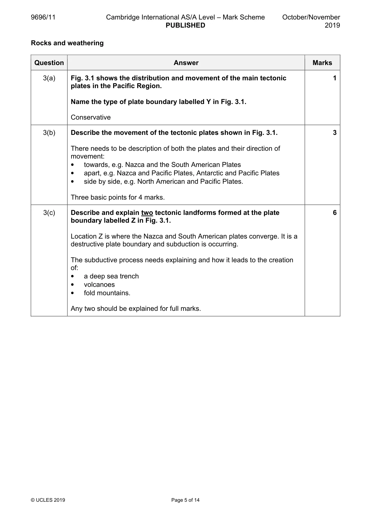
9696/11 Cambridge International AS/A Level – Mark Scheme PUBLISHED October/November 2019 © UCLES 2019 Page 5 of 14 Rocks and weathering Question Answer Marks 3(a) Fig. 3.1 shows the distribution and movement of the main tectonic plates in the Pacific Region. Name the type of plate boundary labelled Y in Fig. 3.1. Conservative 1 3(b) Describe the movement of the tectonic plates shown in Fig. 3.1. There needs to be description of both the plates and their direction of movement: • towards, e.g. Nazca and the South American Plates • apart, e.g. Nazca and Pacific Plates, Antarctic and Pacific Plates • side by side, e.g. North American and Pacific Plates. Three basic points for 4 marks. 3 3(c) Describe and explain two tectonic landforms formed at the plate boundary labelled Z in Fig. 3.1. Location Z is where the Nazca and South American plates converge. It is a destructive plate boundary and subduction is occurring. The subductive process needs explaining and how it leads to the creation of: • a deep sea trench • volcanoes • fold mountains. Any two should be explained for full marks. 6
Mark scheme, page 6
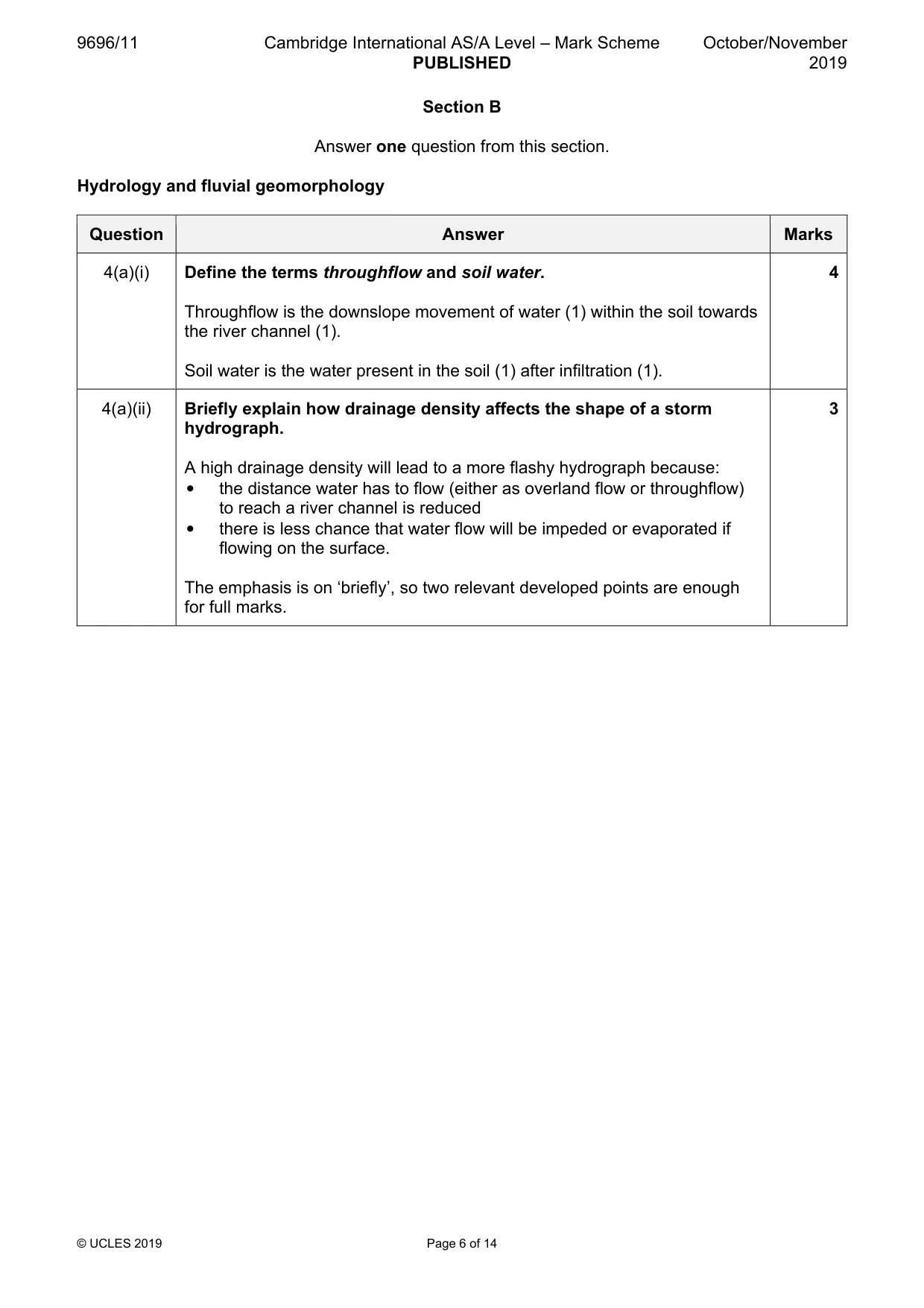
9696/11 Cambridge International AS/A Level – Mark Scheme PUBLISHED October/November 2019 © UCLES 2019 Page 6 of 14 Section B Answer one question from this section. Hydrology and fluvial geomorphology Question Answer Marks 4(a)(i) Define the terms throughflow and soil water. Throughflow is the downslope movement of water (1) within the soil towards the river channel (1). Soil water is the water present in the soil (1) after infiltration (1). 4 4(a)(ii) Briefly explain how drainage density affects the shape of a storm hydrograph. A high drainage density will lead to a more flashy hydrograph because: • the distance water has to flow (either as overland flow or throughflow) to reach a river channel is reduced • there is less chance that water flow will be impeded or evaporated if flowing on the surface. The emphasis is on ‘briefly’, so two relevant developed points are enough for full marks. 3
Mark scheme, page 7
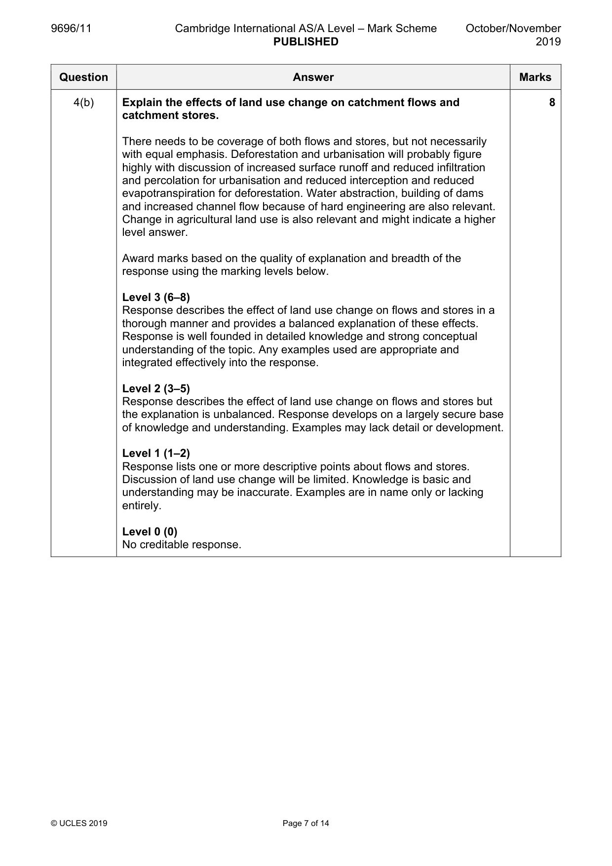
9696/11 Cambridge International AS/A Level – Mark Scheme PUBLISHED October/November 2019 © UCLES 2019 Page 7 of 14 Question Answer Marks 4(b) Explain the effects of land use change on catchment flows and catchment stores. There needs to be coverage of both flows and stores, but not necessarily with equal emphasis. Deforestation and urbanisation will probably figure highly with discussion of increased surface runoff and reduced infiltration and percolation for urbanisation and reduced interception and reduced evapotranspiration for deforestation. Water abstraction, building of dams and increased channel flow because of hard engineering are also relevant. Change in agricultural land use is also relevant and might indicate a higher level answer. Award marks based on the quality of explanation and breadth of the response using the marking levels below. Level 3 (6–8) Response describes the effect of land use change on flows and stores in a thorough manner and provides a balanced explanation of these effects. Response is well founded in detailed knowledge and strong conceptual understanding of the topic. Any examples used are appropriate and integrated effectively into the response. Level 2 (3–5) Response describes the effect of land use change on flows and stores but the explanation is unbalanced. Response develops on a largely secure base of knowledge and understanding. Examples may lack detail or development. Level 1 (1–2) Response lists one or more descriptive points about flows and stores. Discussion of land use change will be limited. Knowledge is basic and understanding may be inaccurate. Examples are in name only or lacking entirely. Level 0 (0) No creditable response. 8
Mark scheme, page 8
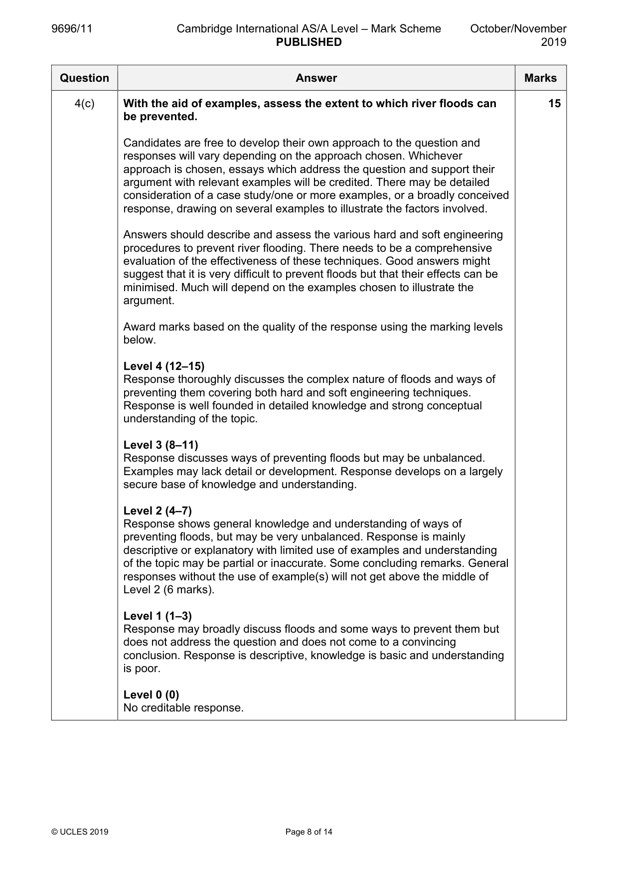
9696/11 Cambridge International AS/A Level – Mark Scheme PUBLISHED October/November 2019 © UCLES 2019 Page 8 of 14 Question Answer Marks 4(c) With the aid of examples, assess the extent to which river floods can be prevented. Candidates are free to develop their own approach to the question and responses will vary depending on the approach chosen. Whichever approach is chosen, essays which address the question and support their argument with relevant examples will be credited. There may be detailed consideration of a case study/one or more examples, or a broadly conceived response, drawing on several examples to illustrate the factors involved. Answers should describe and assess the various hard and soft engineering procedures to prevent river flooding. There needs to be a comprehensive evaluation of the effectiveness of these techniques. Good answers might suggest that it is very difficult to prevent floods but that their effects can be minimised. Much will depend on the examples chosen to illustrate the argument. Award marks based on the quality of the response using the marking levels below. Level 4 (12–15) Response thoroughly discusses the complex nature of floods and ways of preventing them covering both hard and soft engineering techniques. Response is well founded in detailed knowledge and strong conceptual understanding of the topic. Level 3 (8–11) Response discusses ways of preventing floods but may be unbalanced. Examples may lack detail or development. Response develops on a largely secure base of knowledge and understanding. Level 2 (4–7) Response shows general knowledge and understanding of ways of preventing floods, but may be very unbalanced. Response is mainly descriptive or explanatory with limited use of examples and understanding of the topic may be partial or inaccurate. Some concluding remarks. General responses without the use of example(s) will not get above the middle of Level 2 (6 marks). Level 1 (1–3) Response may broadly discuss floods and some ways to prevent them but does not address the question and does not come to a convincing conclusion. Response is descriptive, knowledge is basic and understanding is poor. Level 0 (0) No creditable response. 15
Mark scheme, page 9
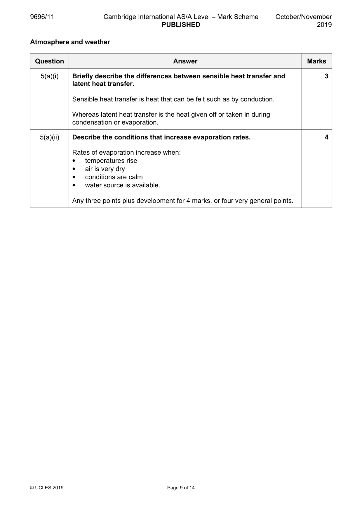
9696/11 Cambridge International AS/A Level – Mark Scheme PUBLISHED October/November 2019 © UCLES 2019 Page 9 of 14 Atmosphere and weather Question Answer Marks 5(a)(i) Briefly describe the differences between sensible heat transfer and latent heat transfer. Sensible heat transfer is heat that can be felt such as by conduction. Whereas latent heat transfer is the heat given off or taken in during condensation or evaporation. 3 5(a)(ii) Describe the conditions that increase evaporation rates. Rates of evaporation increase when: • temperatures rise • air is very dry • conditions are calm • water source is available. Any three points plus development for 4 marks, or four very general points. 4
Mark scheme, page 10
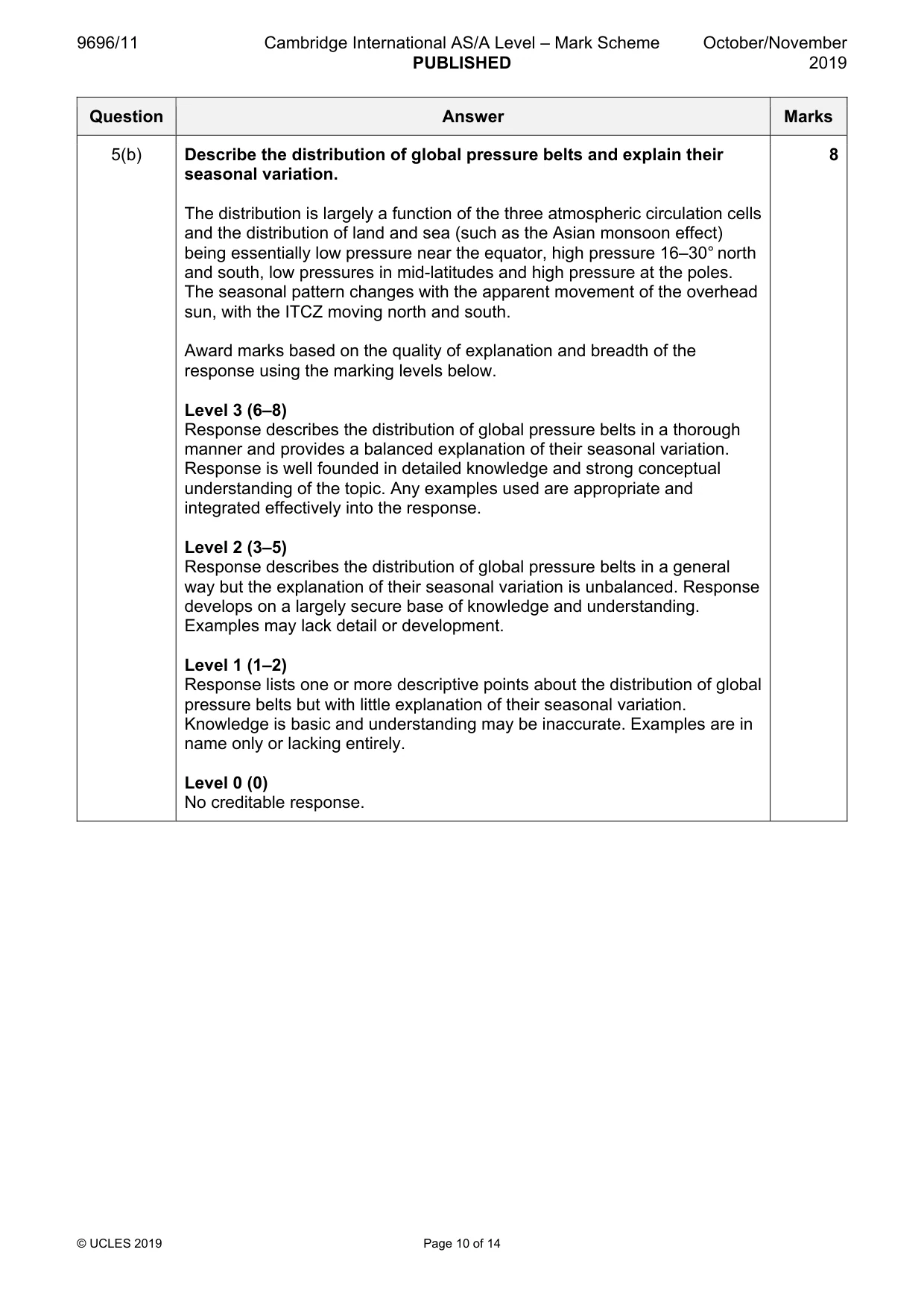
9696/11 Cambridge International AS/A Level – Mark Scheme PUBLISHED October/November 2019 © UCLES 2019 Page 10 of 14 Question Answer Marks 5(b) Describe the distribution of global pressure belts and explain their seasonal variation. The distribution is largely a function of the three atmospheric circulation cells and the distribution of land and sea (such as the Asian monsoon effect) being essentially low pressure near the equator, high pressure 16–30° north and south, low pressures in mid-latitudes and high pressure at the poles. The seasonal pattern changes with the apparent movement of the overhead sun, with the ITCZ moving north and south. Award marks based on the quality of explanation and breadth of the response using the marking levels below. Level 3 (6–8) Response describes the distribution of global pressure belts in a thorough manner and provides a balanced explanation of their seasonal variation. Response is well founded in detailed knowledge and strong conceptual understanding of the topic. Any examples used are appropriate and integrated effectively into the response. Level 2 (3–5) Response describes the distribution of global pressure belts in a general way but the explanation of their seasonal variation is unbalanced. Response develops on a largely secure base of knowledge and understanding. Examples may lack detail or development. Level 1 (1–2) Response lists one or more descriptive points about the distribution of global pressure belts but with little explanation of their seasonal variation. Knowledge is basic and understanding may be inaccurate. Examples are in name only or lacking entirely. Level 0 (0) No creditable response. 8
Mark scheme, page 11
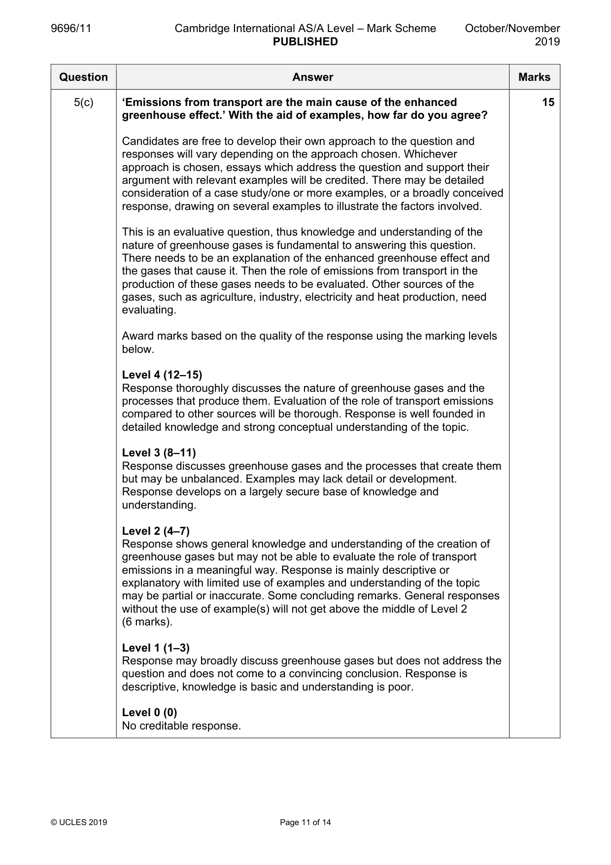
9696/11 Cambridge International AS/A Level – Mark Scheme PUBLISHED October/November 2019 © UCLES 2019 Page 11 of 14 Question Answer Marks 5(c) ‘Emissions from transport are the main cause of the enhanced greenhouse effect.’ With the aid of examples, how far do you agree? Candidates are free to develop their own approach to the question and responses will vary depending on the approach chosen. Whichever approach is chosen, essays which address the question and support their argument with relevant examples will be credited. There may be detailed consideration of a case study/one or more examples, or a broadly conceived response, drawing on several examples to illustrate the factors involved. This is an evaluative question, thus knowledge and understanding of the nature of greenhouse gases is fundamental to answering this question. There needs to be an explanation of the enhanced greenhouse effect and the gases that cause it. Then the role of emissions from transport in the production of these gases needs to be evaluated. Other sources of the gases, such as agriculture, industry, electricity and heat production, need evaluating. Award marks based on the quality of the response using the marking levels below. Level 4 (12–15) Response thoroughly discusses the nature of greenhouse gases and the processes that produce them. Evaluation of the role of transport emissions compared to other sources will be thorough. Response is well founded in detailed knowledge and strong conceptual understanding of the topic. Level 3 (8–11) Response discusses greenhouse gases and the processes that create them but may be unbalanced. Examples may lack detail or development. Response develops on a largely secure base of knowledge and understanding. Level 2 (4–7) Response shows general knowledge and understanding of the creation of greenhouse gases but may not be able to evaluate the role of transport emissions in a meaningful way. Response is mainly descriptive or explanatory with limited use of examples and understanding of the topic may be partial or inaccurate. Some concluding remarks. General responses without the use of example(s) will not get above the middle of Level 2 (6 marks). Level 1 (1–3) Response may broadly discuss greenhouse gases but does not address the question and does not come to a convincing conclusion. Response is descriptive, knowledge is basic and understanding is poor. Level 0 (0) No creditable response. 15
Mark scheme, page 12
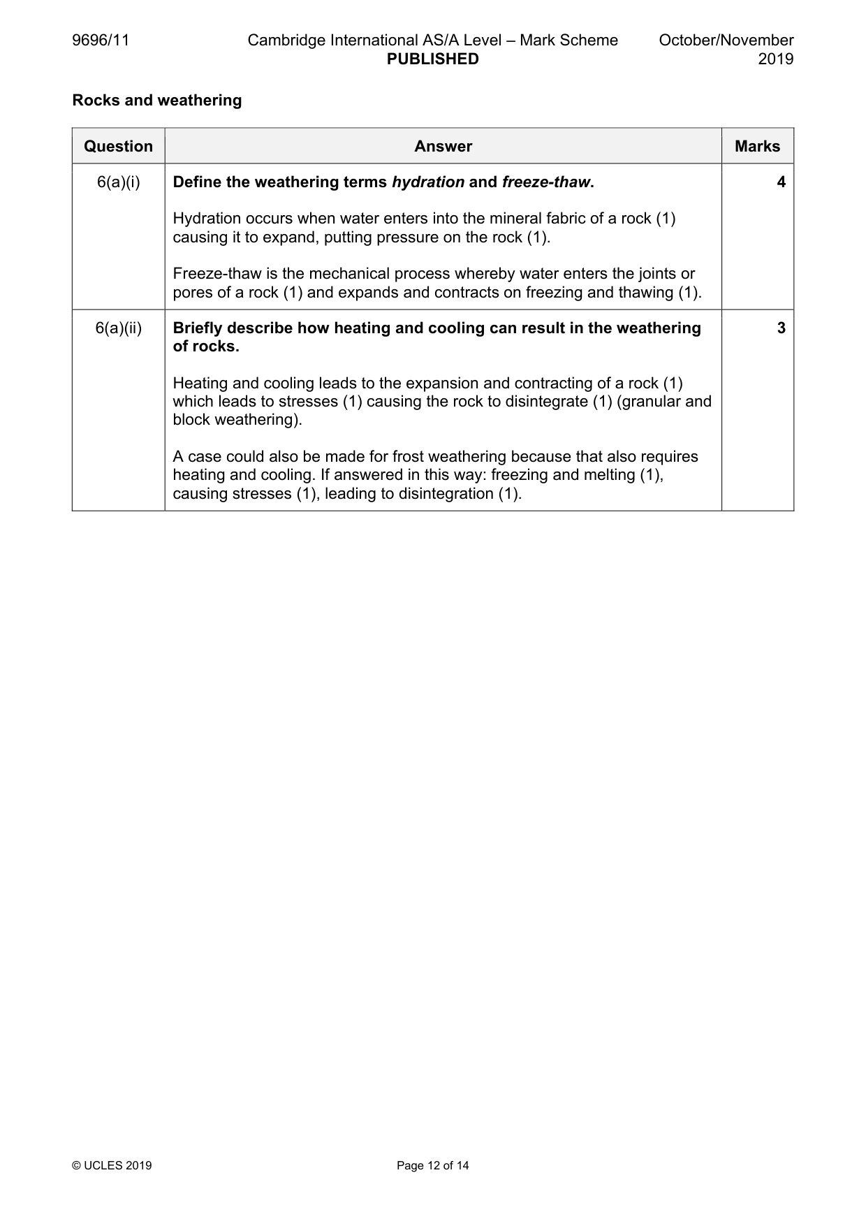
9696/11 Cambridge International AS/A Level – Mark Scheme PUBLISHED October/November 2019 © UCLES 2019 Page 12 of 14 Rocks and weathering Question Answer Marks 6(a)(i) Define the weathering terms hydration and freeze-thaw. Hydration occurs when water enters into the mineral fabric of a rock (1) causing it to expand, putting pressure on the rock (1). Freeze-thaw is the mechanical process whereby water enters the joints or pores of a rock (1) and expands and contracts on freezing and thawing (1). 4 6(a)(ii) Briefly describe how heating and cooling can result in the weathering of rocks. Heating and cooling leads to the expansion and contracting of a rock (1) which leads to stresses (1) causing the rock to disintegrate (1) (granular and block weathering). A case could also be made for frost weathering because that also requires heating and cooling. If answered in this way: freezing and melting (1), causing stresses (1), leading to disintegration (1). 3
Mark scheme, page 13
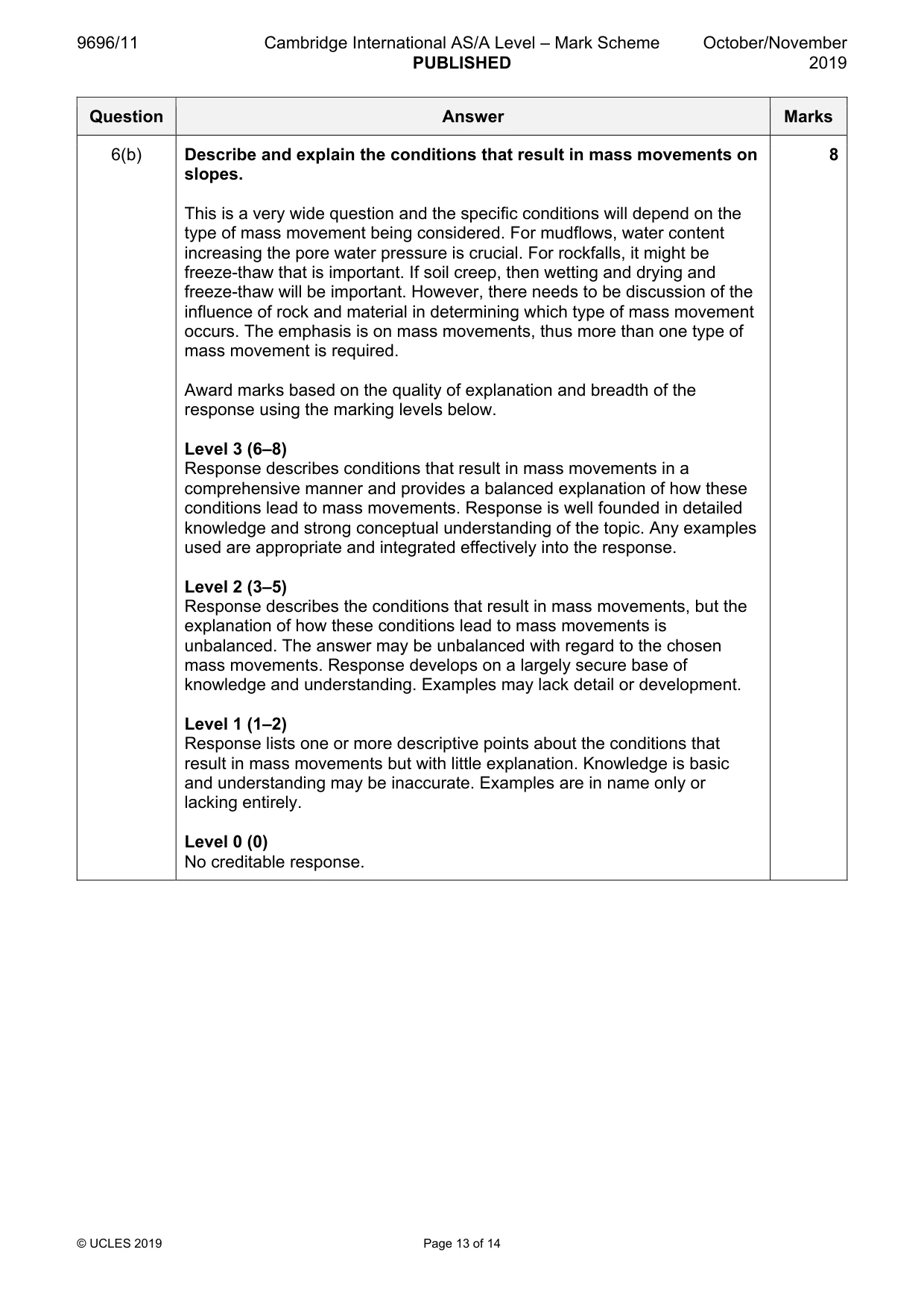
9696/11 Cambridge International AS/A Level – Mark Scheme PUBLISHED October/November 2019 © UCLES 2019 Page 13 of 14 Question Answer Marks 6(b) Describe and explain the conditions that result in mass movements on slopes. This is a very wide question and the specific conditions will depend on the type of mass movement being considered. For mudflows, water content increasing the pore water pressure is crucial. For rockfalls, it might be freeze-thaw that is important. If soil creep, then wetting and drying and freeze-thaw will be important. However, there needs to be discussion of the influence of rock and material in determining which type of mass movement occurs. The emphasis is on mass movements, thus more than one type of mass movement is required. Award marks based on the quality of explanation and breadth of the response using the marking levels below. Level 3 (6–8) Response describes conditions that result in mass movements in a comprehensive manner and provides a balanced explanation of how these conditions lead to mass movements. Response is well founded in detailed knowledge and strong conceptual understanding of the topic. Any examples used are appropriate and integrated effectively into the response. Level 2 (3–5) Response describes the conditions that result in mass movements, but the explanation of how these conditions lead to mass movements is unbalanced. The answer may be unbalanced with regard to the chosen mass movements. Response develops on a largely secure base of knowledge and understanding. Examples may lack detail or development. Level 1 (1–2) Response lists one or more descriptive points about the conditions that result in mass movements but with little explanation. Knowledge is basic and understanding may be inaccurate. Examples are in name only or lacking entirely. Level 0 (0) No creditable response. 8
Mark scheme, page 14
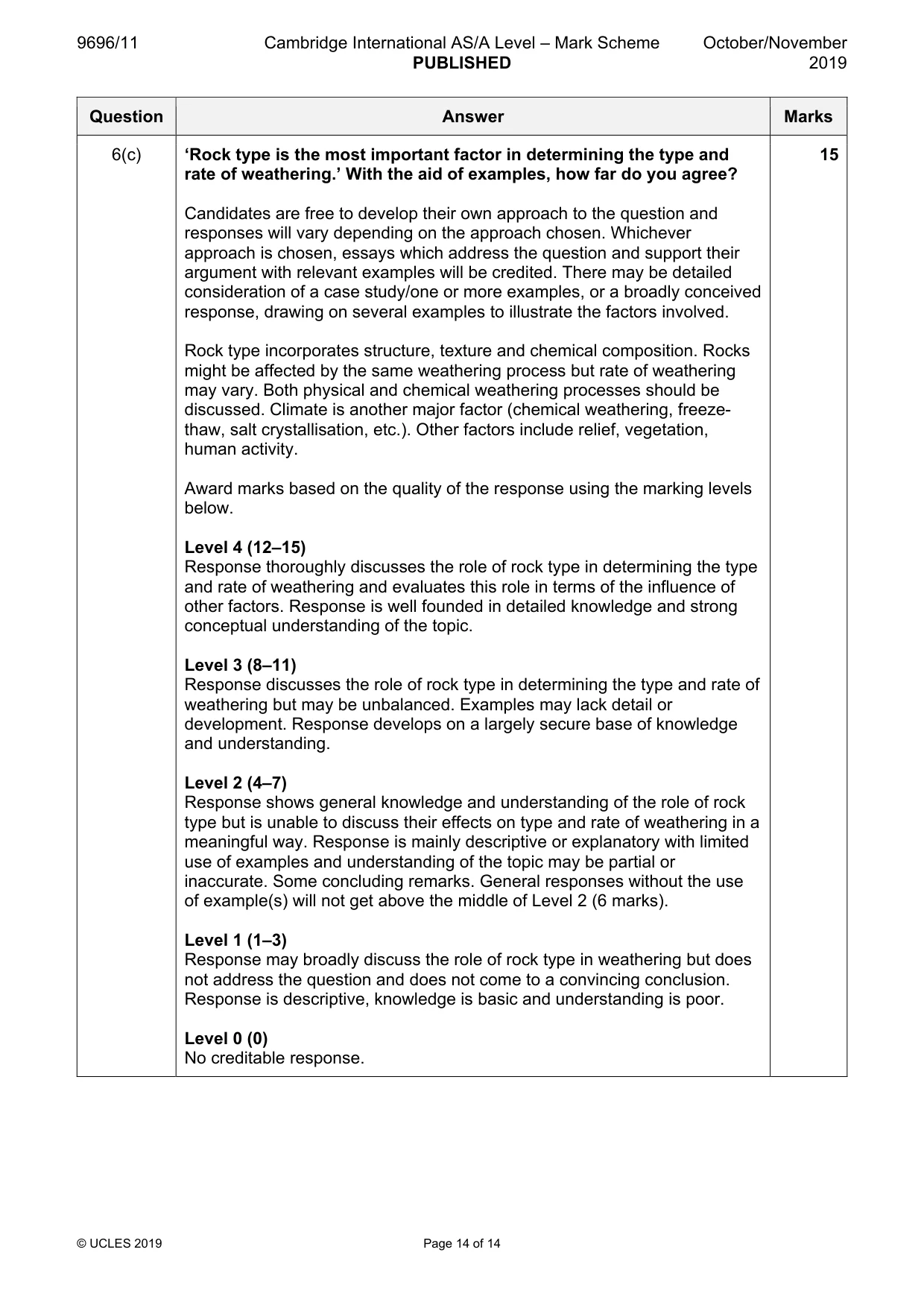
9696/11 Cambridge International AS/A Level – Mark Scheme PUBLISHED October/November 2019 © UCLES 2019 Page 14 of 14 Question Answer Marks 6(c) ‘Rock type is the most important factor in determining the type and rate of weathering.’ With the aid of examples, how far do you agree? Candidates are free to develop their own approach to the question and responses will vary depending on the approach chosen. Whichever approach is chosen, essays which address the question and support their argument with relevant examples will be credited. There may be detailed consideration of a case study/one or more examples, or a broadly conceived response, drawing on several examples to illustrate the factors involved. Rock type incorporates structure, texture and chemical composition. Rocks might be affected by the same weathering process but rate of weathering may vary. Both physical and chemical weathering processes should be discussed. Climate is another major factor (chemical weathering, freeze- thaw, salt crystallisation, etc.). Other factors include relief, vegetation, human activity. Award marks based on the quality of the response using the marking levels below. Level 4 (12–15) Response thoroughly discusses the role of rock type in determining the type and rate of weathering and evaluates this role in terms of the influence of other factors. Response is well founded in detailed knowledge and strong conceptual understanding of the topic. Level 3 (8–11) Response discusses the role of rock type in determining the type and rate of weathering but may be unbalanced. Examples may lack detail or development. Response develops on a largely secure base of knowledge and understanding. Level 2 (4–7) Response shows general knowledge and understanding of the role of rock type but is unable to discuss their effects on type and rate of weathering in a meaningful way. Response is mainly descriptive or explanatory with limited use of examples and understanding of the topic may be partial or inaccurate. Some concluding remarks. General responses without the use of example(s) will not get above the middle of Level 2 (6 marks). Level 1 (1–3) Response may broadly discuss the role of rock type in weathering but does not address the question and does not come to a convincing conclusion. Response is descriptive, knowledge is basic and understanding is poor. Level 0 (0) No creditable response. 15
What you needed in this session
Cambridge’s own grade thresholds for 2019 Oct/Nov, Paper 1 · Variant 1. A higher threshold means an easier paper — the bar moves with how the cohort did.