Cambridge A Level Geography 9696 — 2019 May/June Paper 1 · Variant 3
9696/13/M/J/19 · 60 marks · ≈68 min
The question paper and its mark scheme, free to read here and free to download. This is Cambridge’s own paper, exactly as it was sat.
Question paper4 pages

Mark scheme16 pages
Answers below. Sit the paper first if you are practising.





Paper as text
Question paper, page 1
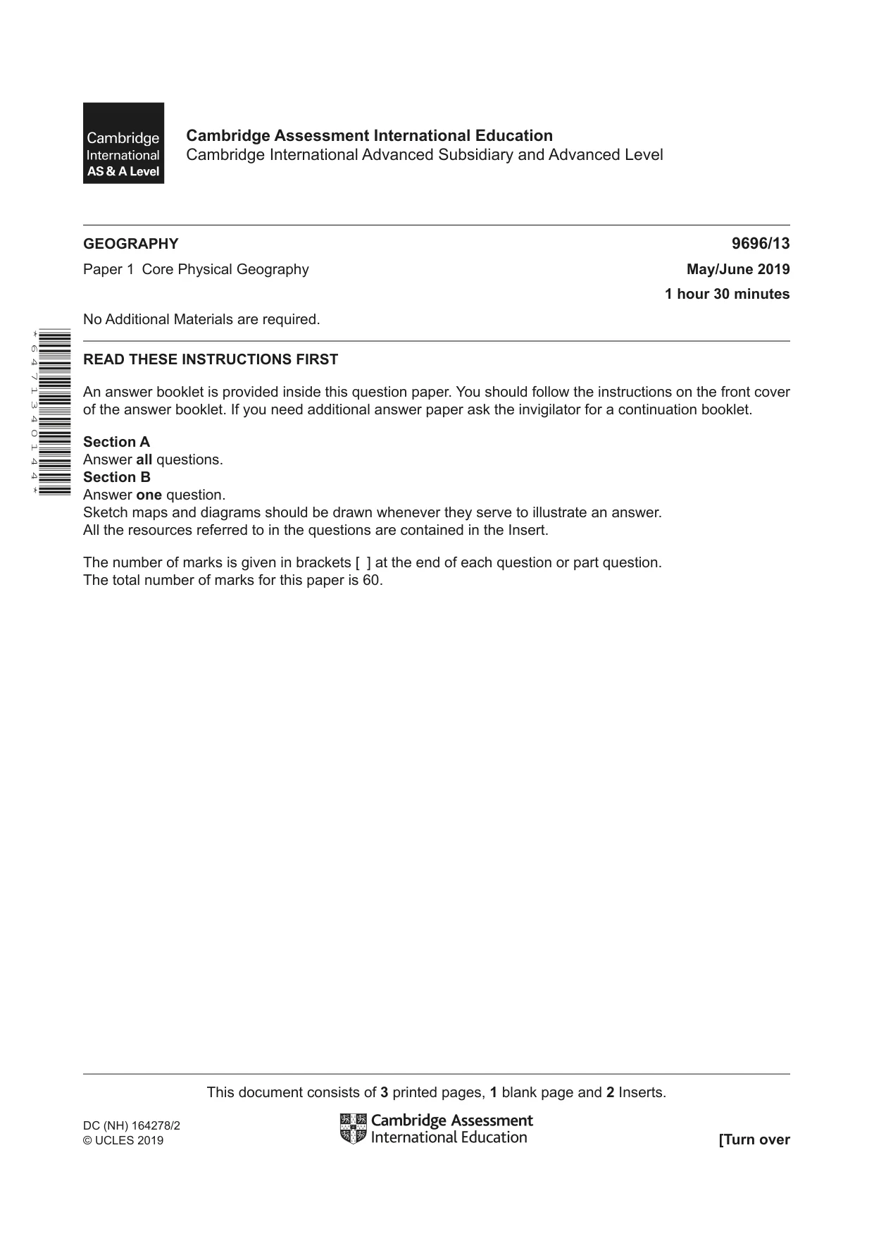
This document consists of 3 printed pages, 1 blank page and 2 Inserts. DC (NH) 164278/2 © UCLES 2019 [Turn over * 6 4 7 1 3 4 0 1 4 4 * GEOGRAPHY 9696/13 Paper 1 Core Physical Geography May/June 2019 1 hour 30 minutes No Additional Materials are required. READ THESE INSTRUCTIONS FIRST An answer booklet is provided inside this question paper. You should follow the instructions on the front cover of the answer booklet. If you need additional answer paper ask the invigilator for a continuation booklet. Section A Answer all questions. Section B Answer one question. Sketch maps and diagrams should be drawn whenever they serve to illustrate an answer. All the resources referred to in the questions are contained in the Insert. The number of marks is given in brackets [ ] at the end of each question or part question. The total number of marks for this paper is 60. Cambridge Assessment International Education Cambridge International Advanced Subsidiary and Advanced Level
Question paper, page 2
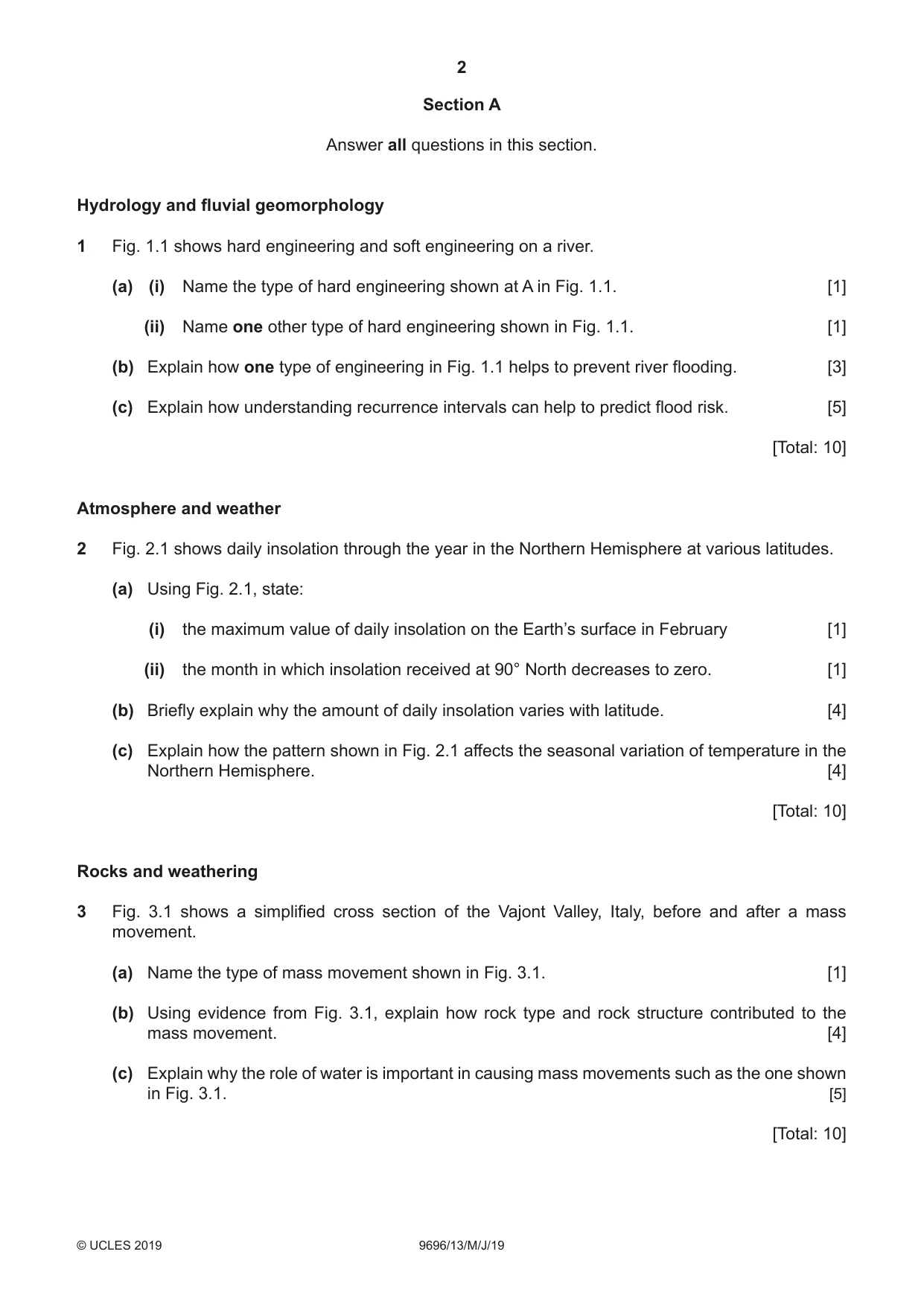
2 9696/13/M/J/19 © UCLES 2019 Section A Answer all questions in this section. Hydrology and fluvial geomorphology 1 Fig. 1.1 shows hard engineering and soft engineering on a river. (a) (i) Name the type of hard engineering shown at A in Fig. 1.1. [1] (ii) Name one other type of hard engineering shown in Fig. 1.1. [1] (b) Explain how one type of engineering in Fig. 1.1 helps to prevent river flooding. [3] (c) Explain how understanding recurrence intervals can help to predict flood risk. [5] [Total: 10] Atmosphere and weather 2 Fig. 2.1 shows daily insolation through the year in the Northern Hemisphere at various latitudes. (a) Using Fig. 2.1, state: (i) the maximum value of daily insolation on the Earth’s surface in February [1] (ii) the month in which insolation received at 90° North decreases to zero. [1] (b) Briefly explain why the amount of daily insolation varies with latitude. [4] (c) Explain how the pattern shown in Fig. 2.1 affects the seasonal variation of temperature in the Northern Hemisphere. [4] [Total: 10] Rocks and weathering 3 Fig. 3.1 shows a simplified cross section of the Vajont Valley, Italy, before and after a mass movement. (a) Name the type of mass movement shown in Fig. 3.1. [1] (b) Using evidence from Fig. 3.1, explain how rock type and rock structure contributed to the mass movement. [4] (c) Explain why the role of water is important in causing mass movements such as the one shown in Fig. 3.1. [5] [Total: 10]
Question paper, page 3
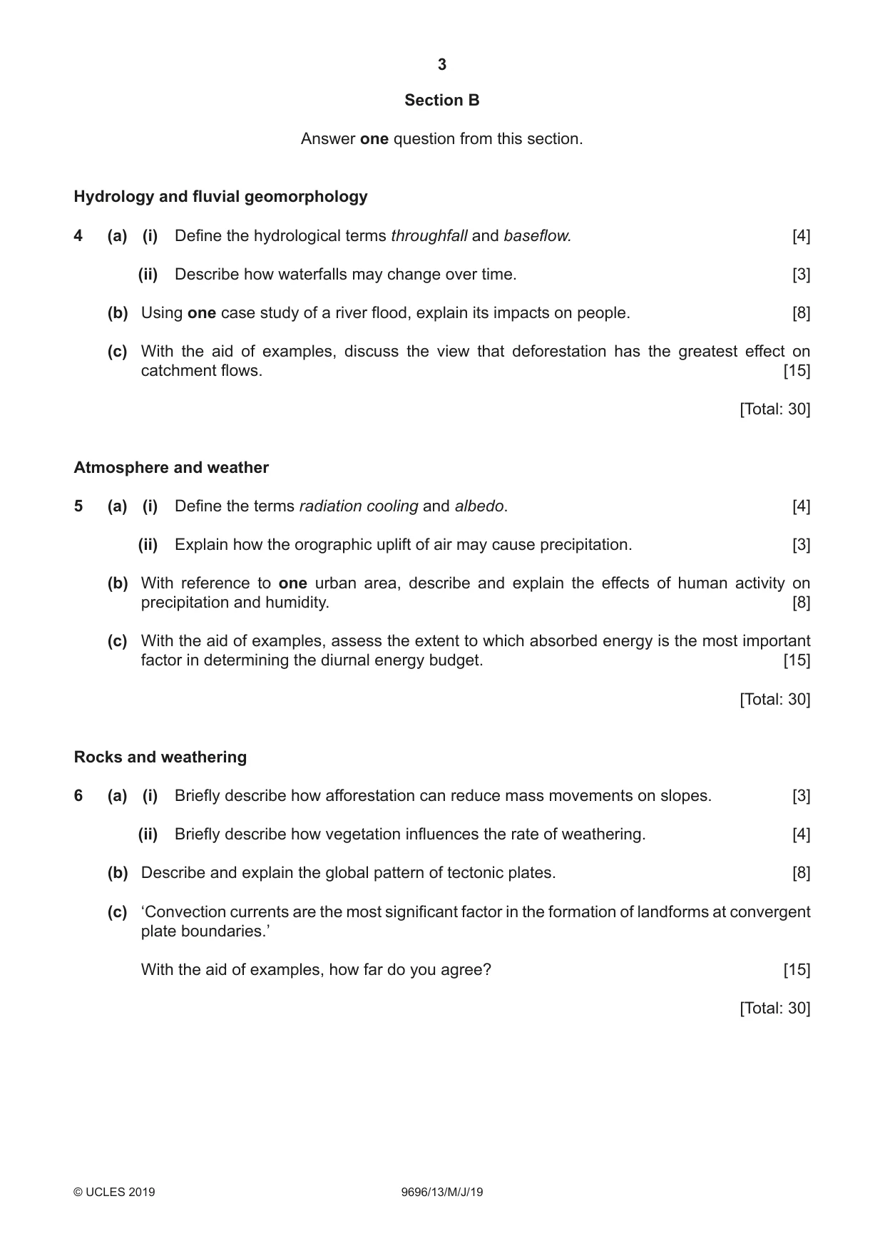
3 9696/13/M/J/19 © UCLES 2019 Section B Answer one question from this section. Hydrology and fluvial geomorphology 4 (a) (i) Define the hydrological terms throughfall and baseflow. [4] (ii) Describe how waterfalls may change over time. [3] (b) Using one case study of a river flood, explain its impacts on people. [8] (c) With the aid of examples, discuss the view that deforestation has the greatest effect on catchment flows. [15] [Total: 30] Atmosphere and weather 5 (a) (i) Define the terms radiation cooling and albedo. [4] (ii) Explain how the orographic uplift of air may cause precipitation. [3] (b) With reference to one urban area, describe and explain the effects of human activity on precipitation and humidity. [8] (c) With the aid of examples, assess the extent to which absorbed energy is the most important factor in determining the diurnal energy budget. [15] [Total: 30] Rocks and weathering 6 (a) (i) Briefly describe how afforestation can reduce mass movements on slopes. [3] (ii) Briefly describe how vegetation influences the rate of weathering. [4] (b) Describe and explain the global pattern of tectonic plates. [8] (c) ‘Convection currents are the most significant factor in the formation of landforms at convergent plate boundaries.’ With the aid of examples, how far do you agree? [15] [Total: 30]
Question paper, page 4
4 9696/13/M/J/19 © UCLES 2019 BLANK PAGE Permission to reproduce items where third-party owned material protected by copyright is included has been sought and cleared where possible. Every reasonable effort has been made by the publisher (UCLES) to trace copyright holders, but if any items requiring clearance have unwittingly been included, the publisher will be pleased to make amends at the earliest possible opportunity. To avoid the issue of disclosure of answer-related information to candidates, all copyright acknowledgements are reproduced online in the Cambridge Assessment International Education Copyright Acknowledgements Booklet. This is produced for each series of examinations and is freely available to download at www.cambridgeinternational.org after the live examination series. Cambridge Assessment International Education is part of the Cambridge Assessment Group. Cambridge Assessment is the brand name of the University of Cambridge Local Examinations Syndicate (UCLES), which itself is a department of the University of Cambridge.
Mark scheme, page 1
This document consists of 16 printed pages. © UCLES 2019 [Turn over Cambridge Assessment International Education Cambridge International Advanced Subsidiary and Advanced Level GEOGRAPHY 9696/13 Paper 1 Core Physical Geography May/June 2019 MARK SCHEME Maximum Mark: 60 Published This mark scheme is published as an aid to teachers and candidates, to indicate the requirements of the examination. It shows the basis on which Examiners were instructed to award marks. It does not indicate the details of the discussions that took place at an Examiners’ meeting before marking began, which would have considered the acceptability of alternative answers. Mark schemes should be read in conjunction with the question paper and the Principal Examiner Report for Teachers. Cambridge International will not enter into discussions about these mark schemes. Cambridge International is publishing the mark schemes for the May/June 2019 series for most Cambridge IGCSE™, Cambridge International A and AS Level and Cambridge Pre-U components, and some Cambridge O Level components.
Mark scheme, page 2
9696/13 Cambridge International AS/A Level – Mark Scheme PUBLISHED May/June 2019 © UCLES 2019 Page 2 of 16 Generic Marking Principles These general marking principles must be applied by all examiners when marking candidate answers. They should be applied alongside the specific content of the mark scheme or generic level descriptors for a question. Each question paper and mark scheme will also comply with these marking principles. GENERIC MARKING PRINCIPLE 1: Marks must be awarded in line with: • the specific content of the mark scheme or the generic level descriptors for the question • the specific skills defined in the mark scheme or in the generic level descriptors for the question • the standard of response required by a candidate as exemplified by the standardisation scripts. GENERIC MARKING PRINCIPLE 2: Marks awarded are always whole marks (not half marks, or other fractions). GENERIC MARKING PRINCIPLE 3: Marks must be awarded positively: • marks are awarded for correct/valid answers, as defined in the mark scheme. However, credit is given for valid answers which go beyond the scope of the syllabus and mark scheme, referring to your Team Leader as appropriate • marks are awarded when candidates clearly demonstrate what they know and can do • marks are not deducted for errors • marks are not deducted for omissions • answers should only be judged on the quality of spelling, punctuation and grammar when these features are specifically assessed by the question as indicated by the mark scheme. The meaning, however, should be unambiguous. GENERIC MARKING PRINCIPLE 4: Rules must be applied consistently e.g. in situations where candidates have not followed instructions or in the application of generic level descriptors. GENERIC MARKING PRINCIPLE 5: Marks should be awarded using the full range of marks defined in the mark scheme for the question (however; the use of the full mark range may be limited according to the quality of the candidate responses seen). GENERIC MARKING PRINCIPLE 6: Marks awarded are based solely on the requirements as defined in the mark scheme. Marks should not be awarded with grade thresholds or grade descriptors in mind.
Mark scheme, page 3
9696/13 Cambridge International AS/A Level – Mark Scheme PUBLISHED May/June 2019 © UCLES 2019 Page 3 of 16 Section A Answer all questions in this section. Hydrology and fluvial geomorphology Question Answer Marks 1(a)(i) Fig. 1.1 shows hard engineering and soft engineering on a river. Name the type of hard engineering shown at A in Fig. 1.1. Diversion spillway (accept diversion channel) 1 1(a)(ii) Name one other type of hard engineering shown in Fig. 1.1. Dams / channel straightening (channel realignment) / levees 1 1(b) Explain how one type of engineering in Fig. 1.1 helps to prevent river flooding. Comments can include: • knowledge of how the feature works, and the specific effects of that feature regarding flooding • specific comments about how it helps to prevent river flooding • channel straightening - increases the velocity to take flood water away. Increases gradient by reducing meandering. • channel diversion – reduces the volume of water by diverting, thus discharge is reduced in main channel • levees – increases the cross section so water is contained within the channel • dams – holds back the water so it can be released gradually • tree planting • land use zoning • riverbank conservation 1 mark for a simple explanation. 2 marks for each developed explanation. Maximum 2 marks for only one way explained. 3 1(c) Explain how understanding recurrence intervals can help to predict flood risk. Recurrence intervals are a statistical calculation (1) to help determine the probable frequency of a flood (1). This is normally reported as 1 in 100 years, or 1 in 50 years (1). A 1 in 100–year flood could have a 1% chance (probability) of happening in one year (1). Therefore a hydrologist can determine how likely or frequently a flood of a certain size could happen (1), and therefore the level of risk involved (1). Any five points for 5 marks. 5
Mark scheme, page 4
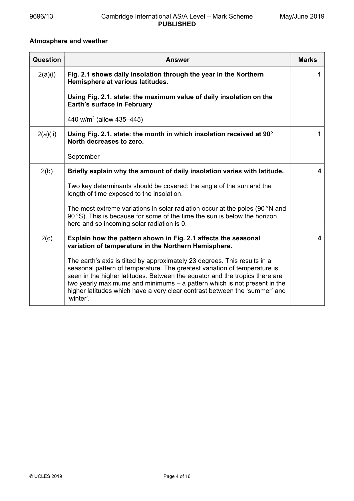
9696/13 Cambridge International AS/A Level – Mark Scheme PUBLISHED May/June 2019 © UCLES 2019 Page 4 of 16 Atmosphere and weather Question Answer Marks 2(a)(i) Fig. 2.1 shows daily insolation through the year in the Northern Hemisphere at various latitudes. Using Fig. 2.1, state: the maximum value of daily insolation on the Earth’s surface in February 440 w/m2 (allow 435–445) 1 2(a)(ii) Using Fig. 2.1, state: the month in which insolation received at 90° North decreases to zero. September 1 2(b) Briefly explain why the amount of daily insolation varies with latitude. Two key determinants should be covered: the angle of the sun and the length of time exposed to the insolation. The most extreme variations in solar radiation occur at the poles (90 °N and 90 °S). This is because for some of the time the sun is below the horizon here and so incoming solar radiation is 0. 4 2(c) Explain how the pattern shown in Fig. 2.1 affects the seasonal variation of temperature in the Northern Hemisphere. The earth’s axis is tilted by approximately 23 degrees. This results in a seasonal pattern of temperature. The greatest variation of temperature is seen in the higher latitudes. Between the equator and the tropics there are two yearly maximums and minimums – a pattern which is not present in the higher latitudes which have a very clear contrast between the ‘summer’ and ‘winter’. 4
Mark scheme, page 5
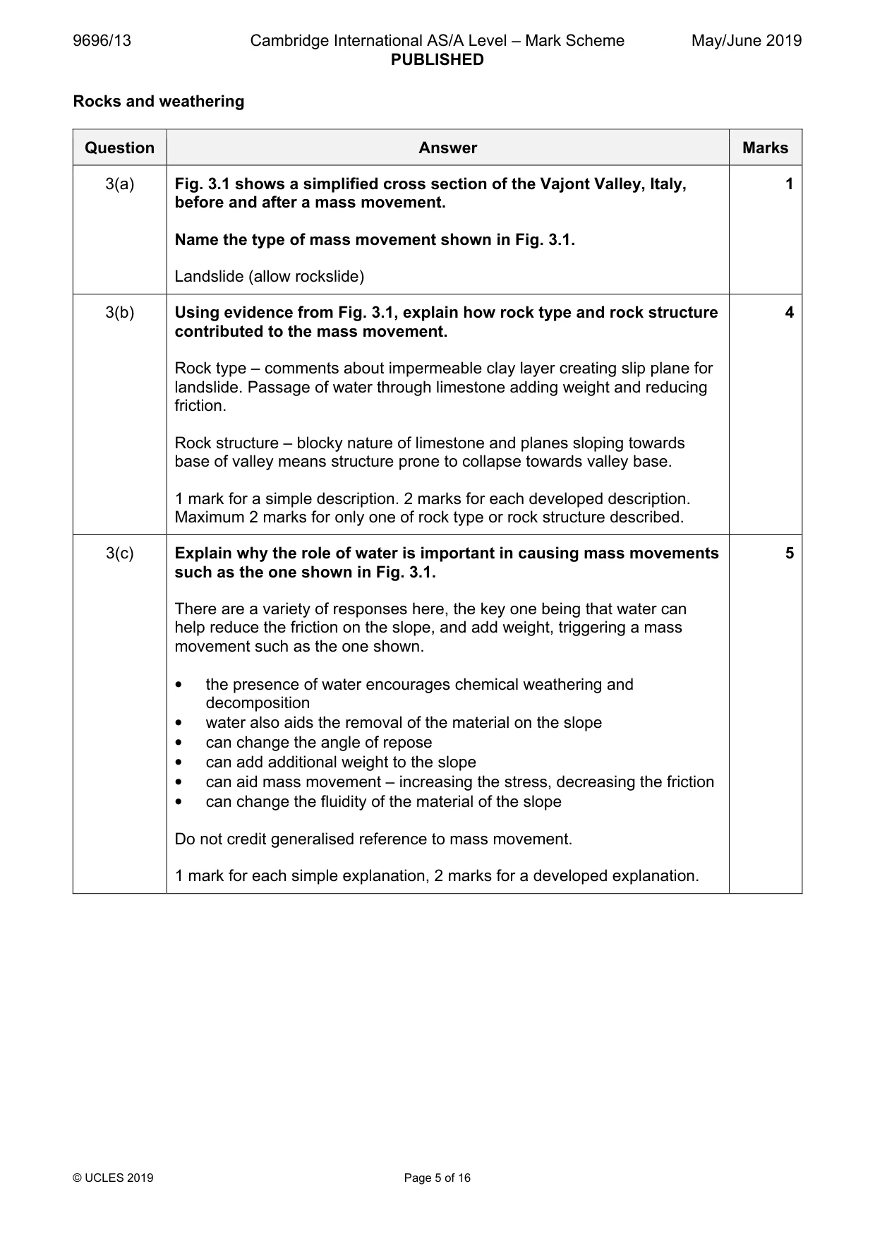
9696/13 Cambridge International AS/A Level – Mark Scheme PUBLISHED May/June 2019 © UCLES 2019 Page 5 of 16 Rocks and weathering Question Answer Marks 3(a) Fig. 3.1 shows a simplified cross section of the Vajont Valley, Italy, before and after a mass movement. Name the type of mass movement shown in Fig. 3.1. Landslide (allow rockslide) 1 3(b) Using evidence from Fig. 3.1, explain how rock type and rock structure contributed to the mass movement. Rock type – comments about impermeable clay layer creating slip plane for landslide. Passage of water through limestone adding weight and reducing friction. Rock structure – blocky nature of limestone and planes sloping towards base of valley means structure prone to collapse towards valley base. 1 mark for a simple description. 2 marks for each developed description. Maximum 2 marks for only one of rock type or rock structure described. 4 3(c) Explain why the role of water is important in causing mass movements such as the one shown in Fig. 3.1. There are a variety of responses here, the key one being that water can help reduce the friction on the slope, and add weight, triggering a mass movement such as the one shown. • the presence of water encourages chemical weathering and decomposition • water also aids the removal of the material on the slope • can change the angle of repose • can add additional weight to the slope • can aid mass movement – increasing the stress, decreasing the friction • can change the fluidity of the material of the slope Do not credit generalised reference to mass movement. 1 mark for each simple explanation, 2 marks for a developed explanation. 5
Mark scheme, page 6
9696/13 Cambridge International AS/A Level – Mark Scheme PUBLISHED May/June 2019 © UCLES 2019 Page 6 of 16 Section B Answer one question from this section. Hydrology and fluvial geomorphology Question Answer Marks 4(a)(i) Define the hydrological terms throughfall and baseflow. Where precipitation is not intercepted by the vegetation (1) and is able to fall directly onto the ground (1) OR wet leaves (1) shed excess water onto the ground (1) The groundwater flow that slowly enters the river (1) from deeper in the ground (1) which is not a result of the throughflow or surface runoff (1) 2 x 2 marks 4 4(a)(ii) Describe how waterfalls may change over time. Headward movement / retreat towards the sources as erosion takes place (1) The erosion at the base of the waterfall undercuts the steep back wall (1). As headward erosion more dominant than lateral erosion a gorge is often formed (1) Erosion in the plunge pool and more erosion as the water cascades over the cap rock continues the retreat (1) Any three points for 3 marks. 3
Mark scheme, page 7
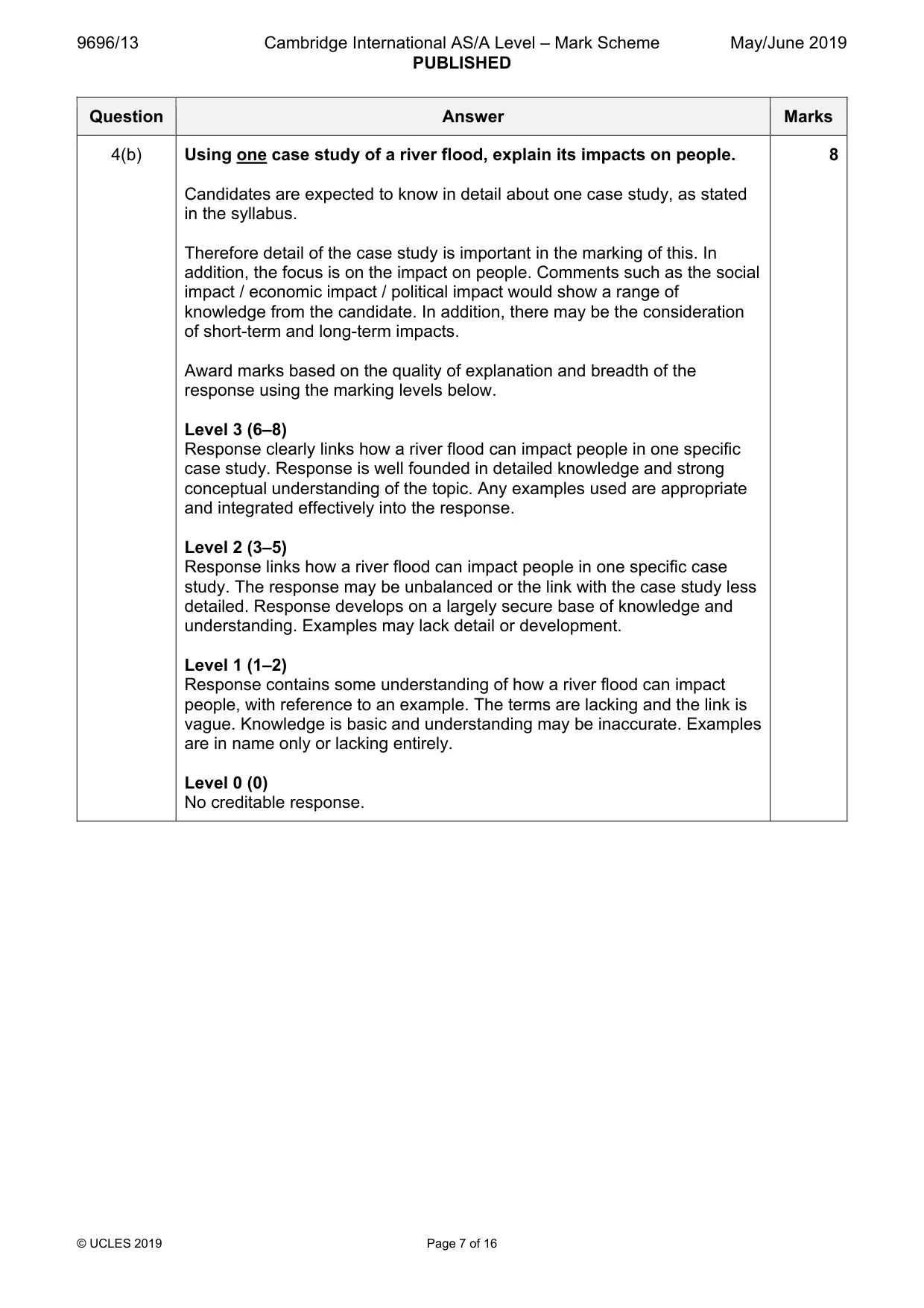
9696/13 Cambridge International AS/A Level – Mark Scheme PUBLISHED May/June 2019 © UCLES 2019 Page 7 of 16 Question Answer Marks 4(b) Using one case study of a river flood, explain its impacts on people. Candidates are expected to know in detail about one case study, as stated in the syllabus. Therefore detail of the case study is important in the marking of this. In addition, the focus is on the impact on people. Comments such as the social impact / economic impact / political impact would show a range of knowledge from the candidate. In addition, there may be the consideration of short-term and long-term impacts. Award marks based on the quality of explanation and breadth of the response using the marking levels below. Level 3 (6–8) Response clearly links how a river flood can impact people in one specific case study. Response is well founded in detailed knowledge and strong conceptual understanding of the topic. Any examples used are appropriate and integrated effectively into the response. Level 2 (3–5) Response links how a river flood can impact people in one specific case study. The response may be unbalanced or the link with the case study less detailed. Response develops on a largely secure base of knowledge and understanding. Examples may lack detail or development. Level 1 (1–2) Response contains some understanding of how a river flood can impact people, with reference to an example. The terms are lacking and the link is vague. Knowledge is basic and understanding may be inaccurate. Examples are in name only or lacking entirely. Level 0 (0) No creditable response. 8
Mark scheme, page 8
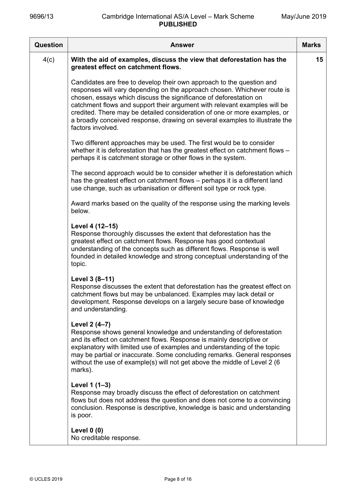
9696/13 Cambridge International AS/A Level – Mark Scheme PUBLISHED May/June 2019 © UCLES 2019 Page 8 of 16 Question Answer Marks 4(c) With the aid of examples, discuss the view that deforestation has the greatest effect on catchment flows. Candidates are free to develop their own approach to the question and responses will vary depending on the approach chosen. Whichever route is chosen, essays which discuss the significance of deforestation on catchment flows and support their argument with relevant examples will be credited. There may be detailed consideration of one or more examples, or a broadly conceived response, drawing on several examples to illustrate the factors involved. Two different approaches may be used. The first would be to consider whether it is deforestation that has the greatest effect on catchment flows – perhaps it is catchment storage or other flows in the system. The second approach would be to consider whether it is deforestation which has the greatest effect on catchment flows – perhaps it is a different land use change, such as urbanisation or different soil type or rock type. Award marks based on the quality of the response using the marking levels below. Level 4 (12–15) Response thoroughly discusses the extent that deforestation has the greatest effect on catchment flows. Response has good contextual understanding of the concepts such as different flows. Response is well founded in detailed knowledge and strong conceptual understanding of the topic. Level 3 (8–11) Response discusses the extent that deforestation has the greatest effect on catchment flows but may be unbalanced. Examples may lack detail or development. Response develops on a largely secure base of knowledge and understanding. Level 2 (4–7) Response shows general knowledge and understanding of deforestation and its effect on catchment flows. Response is mainly descriptive or explanatory with limited use of examples and understanding of the topic may be partial or inaccurate. Some concluding remarks. General responses without the use of example(s) will not get above the middle of Level 2 (6 marks). Level 1 (1–3) Response may broadly discuss the effect of deforestation on catchment flows but does not address the question and does not come to a convincing conclusion. Response is descriptive, knowledge is basic and understanding is poor. Level 0 (0) No creditable response. 15
Mark scheme, page 9
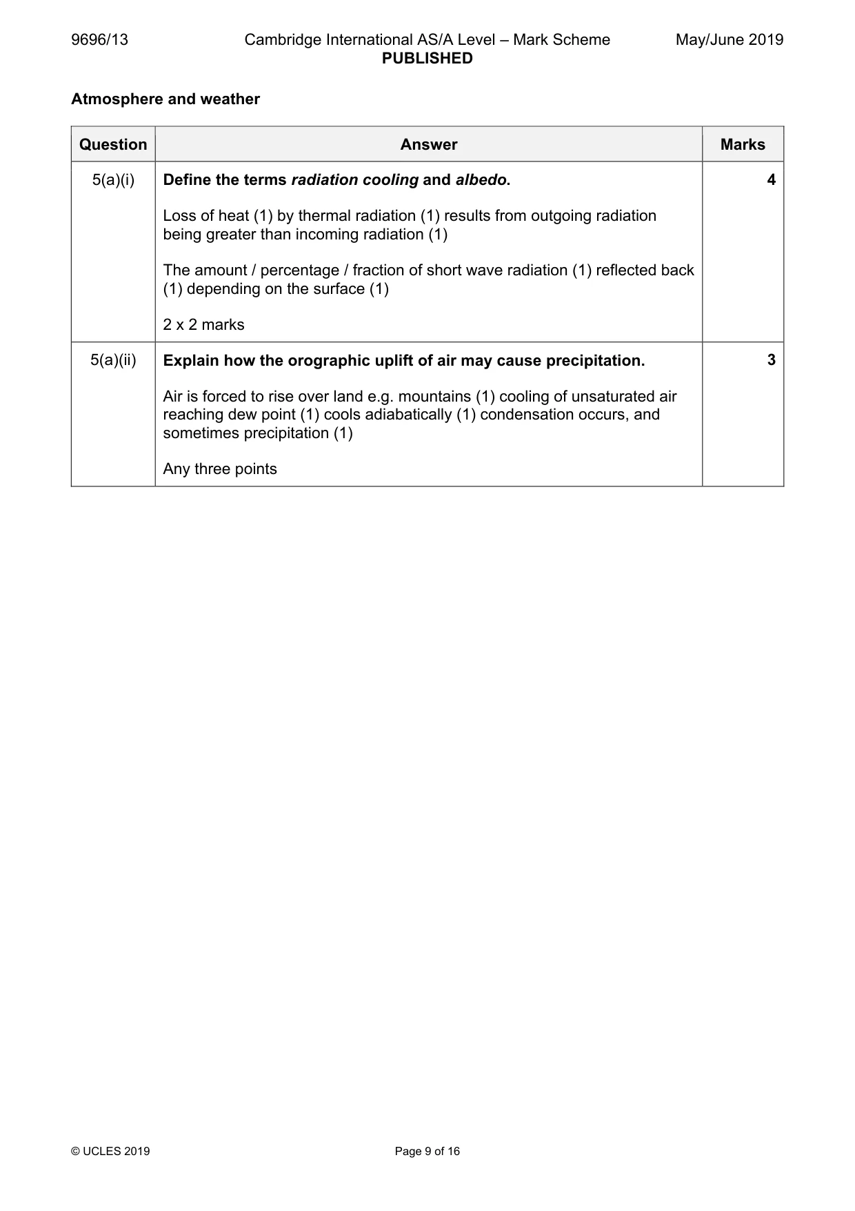
9696/13 Cambridge International AS/A Level – Mark Scheme PUBLISHED May/June 2019 © UCLES 2019 Page 9 of 16 Atmosphere and weather Question Answer Marks 5(a)(i) Define the terms radiation cooling and albedo. Loss of heat (1) by thermal radiation (1) results from outgoing radiation being greater than incoming radiation (1) The amount / percentage / fraction of short wave radiation (1) reflected back (1) depending on the surface (1) 2 x 2 marks 4 5(a)(ii) Explain how the orographic uplift of air may cause precipitation. Air is forced to rise over land e.g. mountains (1) cooling of unsaturated air reaching dew point (1) cools adiabatically (1) condensation occurs, and sometimes precipitation (1) Any three points 3
Mark scheme, page 10
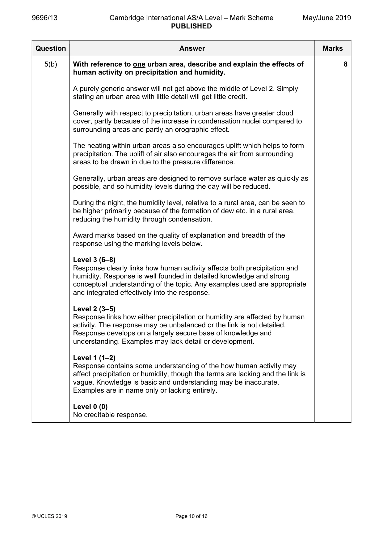
9696/13 Cambridge International AS/A Level – Mark Scheme PUBLISHED May/June 2019 © UCLES 2019 Page 10 of 16 Question Answer Marks 5(b) With reference to one urban area, describe and explain the effects of human activity on precipitation and humidity. A purely generic answer will not get above the middle of Level 2. Simply stating an urban area with little detail will get little credit. Generally with respect to precipitation, urban areas have greater cloud cover, partly because of the increase in condensation nuclei compared to surrounding areas and partly an orographic effect. The heating within urban areas also encourages uplift which helps to form precipitation. The uplift of air also encourages the air from surrounding areas to be drawn in due to the pressure difference. Generally, urban areas are designed to remove surface water as quickly as possible, and so humidity levels during the day will be reduced. During the night, the humidity level, relative to a rural area, can be seen to be higher primarily because of the formation of dew etc. in a rural area, reducing the humidity through condensation. Award marks based on the quality of explanation and breadth of the response using the marking levels below. Level 3 (6–8) Response clearly links how human activity affects both precipitation and humidity. Response is well founded in detailed knowledge and strong conceptual understanding of the topic. Any examples used are appropriate and integrated effectively into the response. Level 2 (3–5) Response links how either precipitation or humidity are affected by human activity. The response may be unbalanced or the link is not detailed. Response develops on a largely secure base of knowledge and understanding. Examples may lack detail or development. Level 1 (1–2) Response contains some understanding of the how human activity may affect precipitation or humidity, though the terms are lacking and the link is vague. Knowledge is basic and understanding may be inaccurate. Examples are in name only or lacking entirely. Level 0 (0) No creditable response. 8
Mark scheme, page 11
9696/13 Cambridge International AS/A Level – Mark Scheme PUBLISHED May/June 2019 © UCLES 2019 Page 11 of 16 Question Answer Marks 5(c) With the aid of examples, assess the extent to which absorbed energy is the most important factor in determining the diurnal energy budget. Candidates are free to develop their own approach to the question and responses will vary depending on the approach chosen. Whichever route is chosen, essays which discuss the extent to which absorbed energy is the most important factor and support their argument with relevant examples will be credited. There may be detailed consideration of one or more examples, or a broadly conceived response, drawing on several examples to illustrate the factors involved. The amount of energy which is absorbed is an important influence on the overall diurnal energy budget. Absorbed energy provides the energy for evaporation, convection and thermal radiation from the earth’s surface. Candidates may also make reference to absorbed energy in the atmosphere. Therefore, energy which is absorbed is a key component of the diurnal energy budget especially in the case of the energy being retained (thermal inertia) and also providing the warming effect on the surface. This clearly is an important factor when considering the overall temperature and diurnal energy budget. However, it is not just the absorption which has a significant influence on the diurnal energy budget. Candidates may cite the pollutants which urban areas have, which also helps to alter the diurnal energy budget. Or a variety of other factors in the diurnal energy budget – the question does not limit them to within urban areas. Diagrams of the energy budget can be credited where they help to illustrate their answer. Award marks based on the quality of the response using the marking levels below. Level 4 (12–15) Response thoroughly discusses the extent that absorption is the most important factor in determining the diurnal energy budget, with clear assessment of other factors. Response has good contextual understanding of the concepts and the energy budget. Candidates consider the significance of absorption in determining the diurnal energy budget, and are able to draw examples from different aspects of the Earth’s energy budget. Response is well founded in detailed knowledge and strong conceptual understanding of the topic. Level 3 (8–11) Response discusses the extent that absorption is the most important factor in determining the diurnal energy budget, with some assessment of other factors but may be unbalanced. Examples may lack detail or development. Response develops on a largely secure base of knowledge and understanding. 15
Mark scheme, page 12
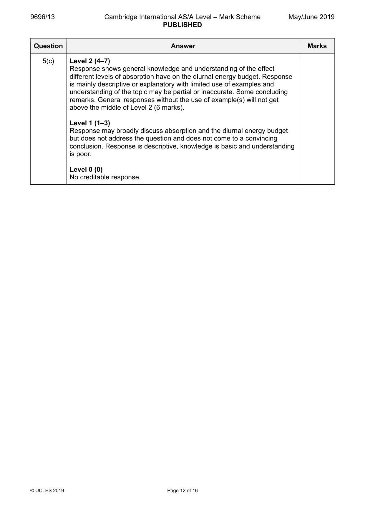
9696/13 Cambridge International AS/A Level – Mark Scheme PUBLISHED May/June 2019 © UCLES 2019 Page 12 of 16 Question Answer Marks 5(c) Level 2 (4–7) Response shows general knowledge and understanding of the effect different levels of absorption have on the diurnal energy budget. Response is mainly descriptive or explanatory with limited use of examples and understanding of the topic may be partial or inaccurate. Some concluding remarks. General responses without the use of example(s) will not get above the middle of Level 2 (6 marks). Level 1 (1–3) Response may broadly discuss absorption and the diurnal energy budget but does not address the question and does not come to a convincing conclusion. Response is descriptive, knowledge is basic and understanding is poor. Level 0 (0) No creditable response.
Mark scheme, page 13
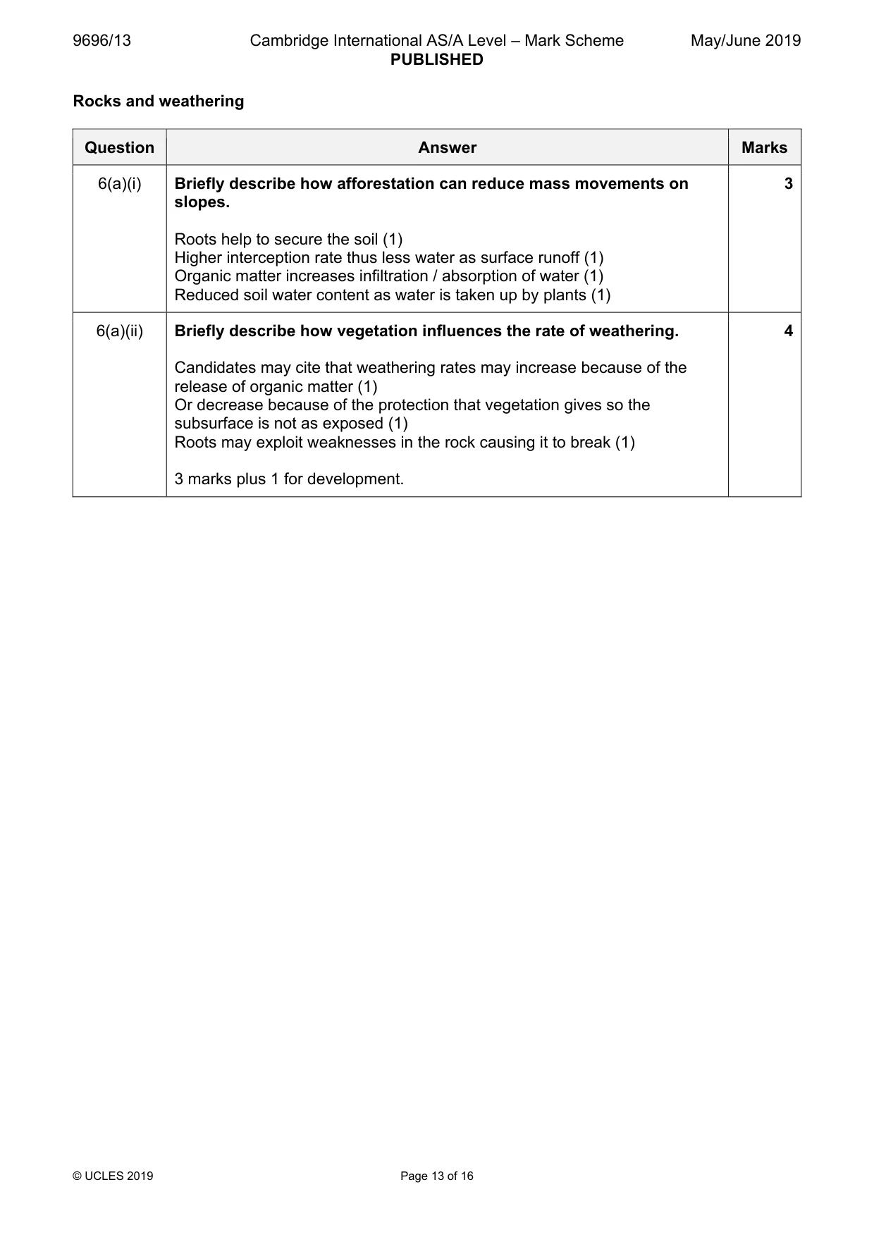
9696/13 Cambridge International AS/A Level – Mark Scheme PUBLISHED May/June 2019 © UCLES 2019 Page 13 of 16 Rocks and weathering Question Answer Marks 6(a)(i) Briefly describe how afforestation can reduce mass movements on slopes. Roots help to secure the soil (1) Higher interception rate thus less water as surface runoff (1) Organic matter increases infiltration / absorption of water (1) Reduced soil water content as water is taken up by plants (1) 3 6(a)(ii) Briefly describe how vegetation influences the rate of weathering. Candidates may cite that weathering rates may increase because of the release of organic matter (1) Or decrease because of the protection that vegetation gives so the subsurface is not as exposed (1) Roots may exploit weaknesses in the rock causing it to break (1) 3 marks plus 1 for development. 4
Mark scheme, page 14
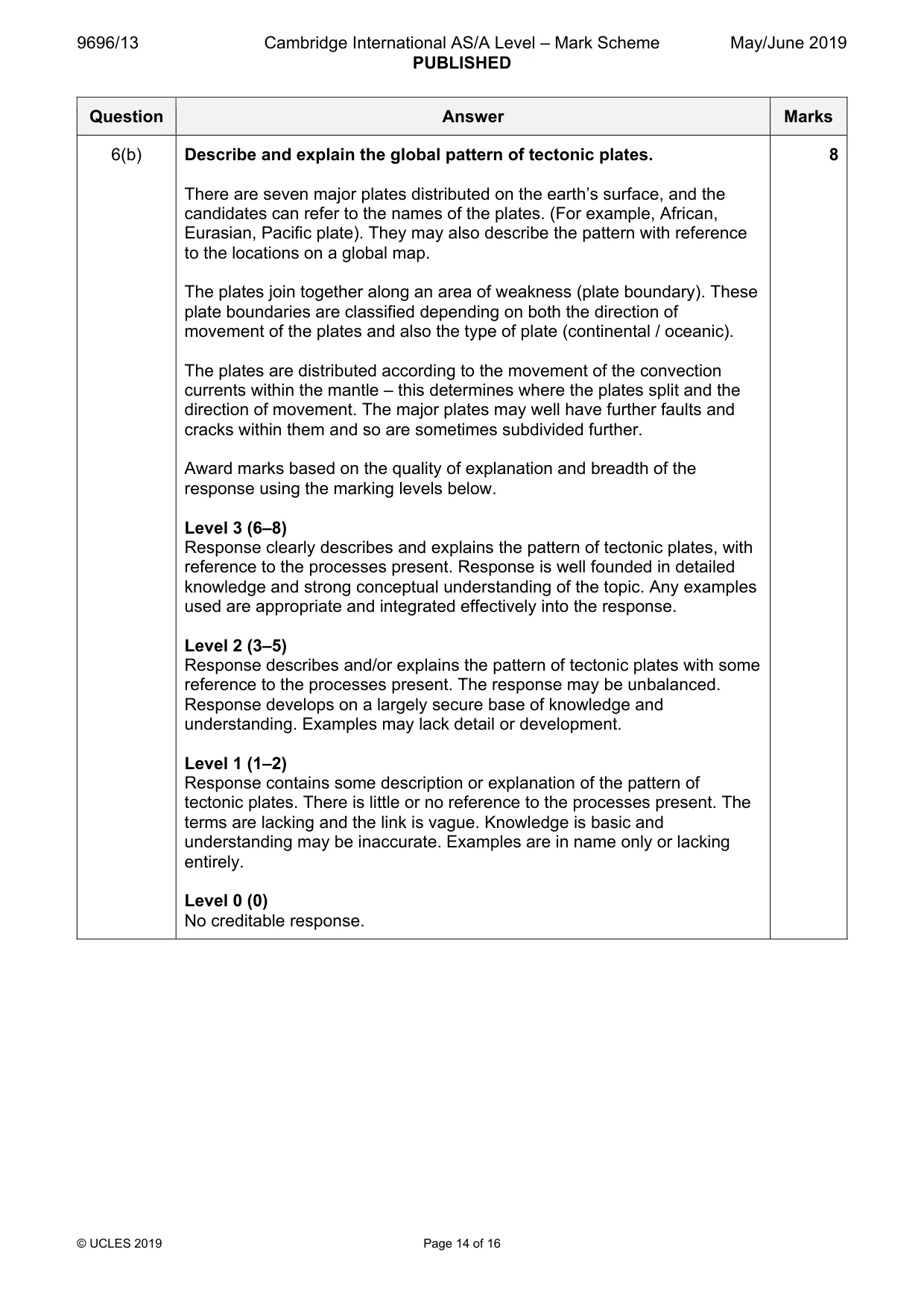
9696/13 Cambridge International AS/A Level – Mark Scheme PUBLISHED May/June 2019 © UCLES 2019 Page 14 of 16 Question Answer Marks 6(b) Describe and explain the global pattern of tectonic plates. There are seven major plates distributed on the earth’s surface, and the candidates can refer to the names of the plates. (For example, African, Eurasian, Pacific plate). They may also describe the pattern with reference to the locations on a global map. The plates join together along an area of weakness (plate boundary). These plate boundaries are classified depending on both the direction of movement of the plates and also the type of plate (continental / oceanic). The plates are distributed according to the movement of the convection currents within the mantle – this determines where the plates split and the direction of movement. The major plates may well have further faults and cracks within them and so are sometimes subdivided further. Award marks based on the quality of explanation and breadth of the response using the marking levels below. Level 3 (6–8) Response clearly describes and explains the pattern of tectonic plates, with reference to the processes present. Response is well founded in detailed knowledge and strong conceptual understanding of the topic. Any examples used are appropriate and integrated effectively into the response. Level 2 (3–5) Response describes and/or explains the pattern of tectonic plates with some reference to the processes present. The response may be unbalanced. Response develops on a largely secure base of knowledge and understanding. Examples may lack detail or development. Level 1 (1–2) Response contains some description or explanation of the pattern of tectonic plates. There is little or no reference to the processes present. The terms are lacking and the link is vague. Knowledge is basic and understanding may be inaccurate. Examples are in name only or lacking entirely. Level 0 (0) No creditable response. 8
Mark scheme, page 15
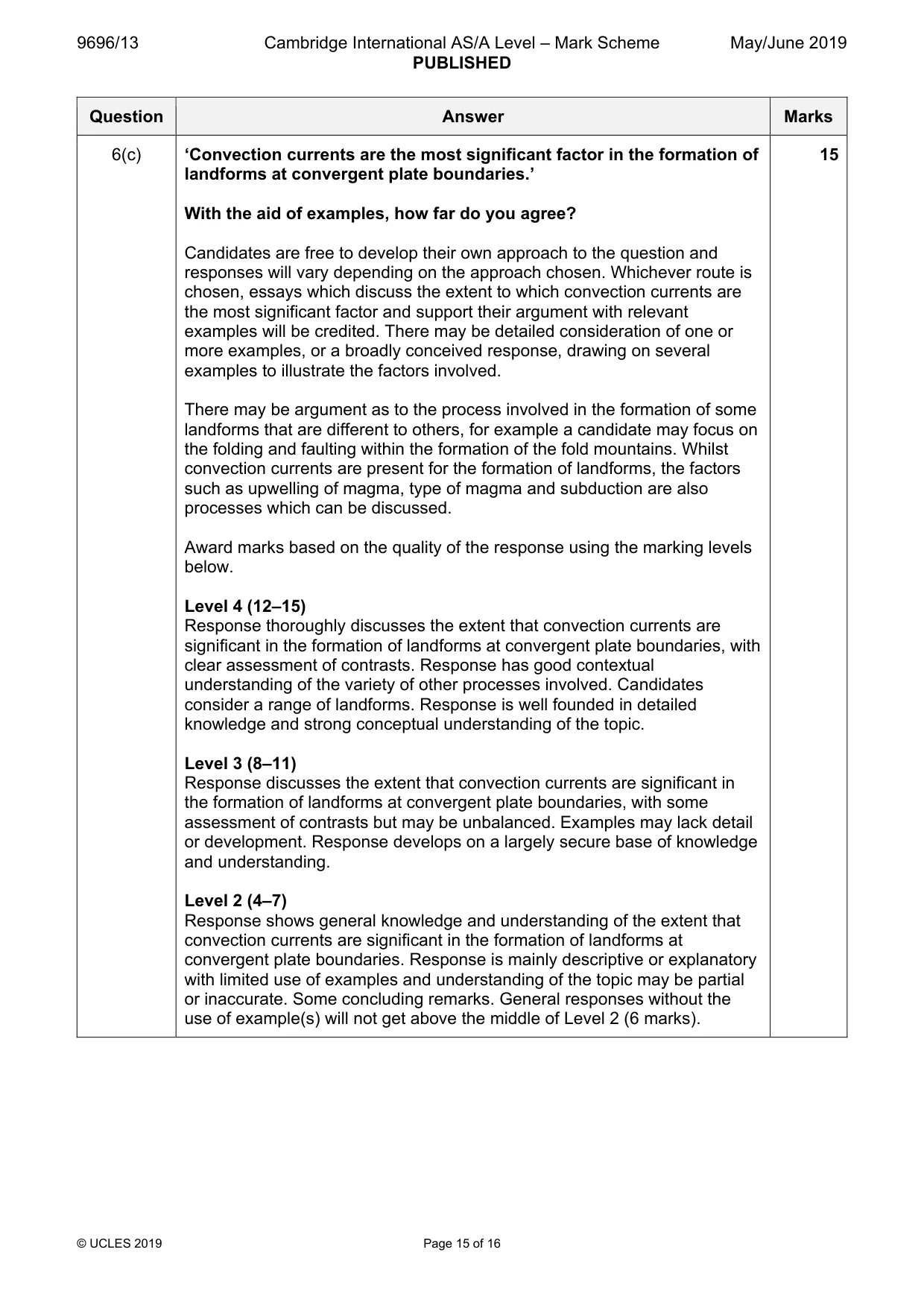
9696/13 Cambridge International AS/A Level – Mark Scheme PUBLISHED May/June 2019 © UCLES 2019 Page 15 of 16 Question Answer Marks 6(c) ‘Convection currents are the most significant factor in the formation of landforms at convergent plate boundaries.’ With the aid of examples, how far do you agree? Candidates are free to develop their own approach to the question and responses will vary depending on the approach chosen. Whichever route is chosen, essays which discuss the extent to which convection currents are the most significant factor and support their argument with relevant examples will be credited. There may be detailed consideration of one or more examples, or a broadly conceived response, drawing on several examples to illustrate the factors involved. There may be argument as to the process involved in the formation of some landforms that are different to others, for example a candidate may focus on the folding and faulting within the formation of the fold mountains. Whilst convection currents are present for the formation of landforms, the factors such as upwelling of magma, type of magma and subduction are also processes which can be discussed. Award marks based on the quality of the response using the marking levels below. Level 4 (12–15) Response thoroughly discusses the extent that convection currents are significant in the formation of landforms at convergent plate boundaries, with clear assessment of contrasts. Response has good contextual understanding of the variety of other processes involved. Candidates consider a range of landforms. Response is well founded in detailed knowledge and strong conceptual understanding of the topic. Level 3 (8–11) Response discusses the extent that convection currents are significant in the formation of landforms at convergent plate boundaries, with some assessment of contrasts but may be unbalanced. Examples may lack detail or development. Response develops on a largely secure base of knowledge and understanding. Level 2 (4–7) Response shows general knowledge and understanding of the extent that convection currents are significant in the formation of landforms at convergent plate boundaries. Response is mainly descriptive or explanatory with limited use of examples and understanding of the topic may be partial or inaccurate. Some concluding remarks. General responses without the use of example(s) will not get above the middle of Level 2 (6 marks). 15
Mark scheme, page 16
9696/13 Cambridge International AS/A Level – Mark Scheme PUBLISHED May/June 2019 © UCLES 2019 Page 16 of 16 Question Answer Marks Level 1 (1–3) Response may broadly discuss landforms present at convergent plate boundaries but does not address the question and does not come to a convincing conclusion. Response is descriptive, knowledge is basic and understanding is poor. Level 0 (0) No creditable response.
What you needed in this session
Cambridge’s own grade thresholds for 2019 May/June, Paper 1 · Variant 3. A higher threshold means an easier paper — the bar moves with how the cohort did.